The best MTB trails around La Victoria De Acentejo
4.5
(345)
2,321
riders
84
rides
Mountain biking around La Victoria De Acentejo offers diverse terrain across northern Tenerife. The region features extensive pine and laurel forests, rugged coastlines, and varied volcanic landscapes. Riders can expect significant elevation changes, providing both demanding climbs and exhilarating descents. This area provides a compelling mix of natural beauty and varied surfaces for mountain biking.
Best mountain bike trails around La Victoria De Acentejo
- The most popular mountain bike trail is Cruz de Fune Chapel – Montaña El Haya Trail…
Last updated: July 2, 2026
5.0
(5)
93
riders
54.4km
05:34
1,490m
1,490m
Hard mountain bike ride. Very good fitness required. Advanced riding skills necessary.
4.6
(10)
70
riders
22.6km
02:10
480m
480m
Moderate mountain bike ride. Good fitness required. Advanced riding skills necessary.

Sign up for free
5.0
(9)
31
riders
20.2km
02:07
580m
580m
Moderate mountain bike ride. Good fitness required. Suitable for all skill levels.
16
riders
58.0km
06:43
2,030m
2,030m
Hard mountain bike ride. Very good fitness required. Suitable for all skill levels.
5.0
(2)
19
riders
72.9km
07:49
2,180m
2,180m
Hard mountain bike ride. Very good fitness required. Advanced riding skills necessary. Some portions of the route may require you to push your bike.
Get access to more routes and recommendations from other explorers.
Sign up for free
Already have an account?
Our route recommendations are based on thousands of hikes, rides, and runs completed by other people on komoot.
Start today with a free account
Your next adventure awaits.
Login or Signup

Tips from the Community

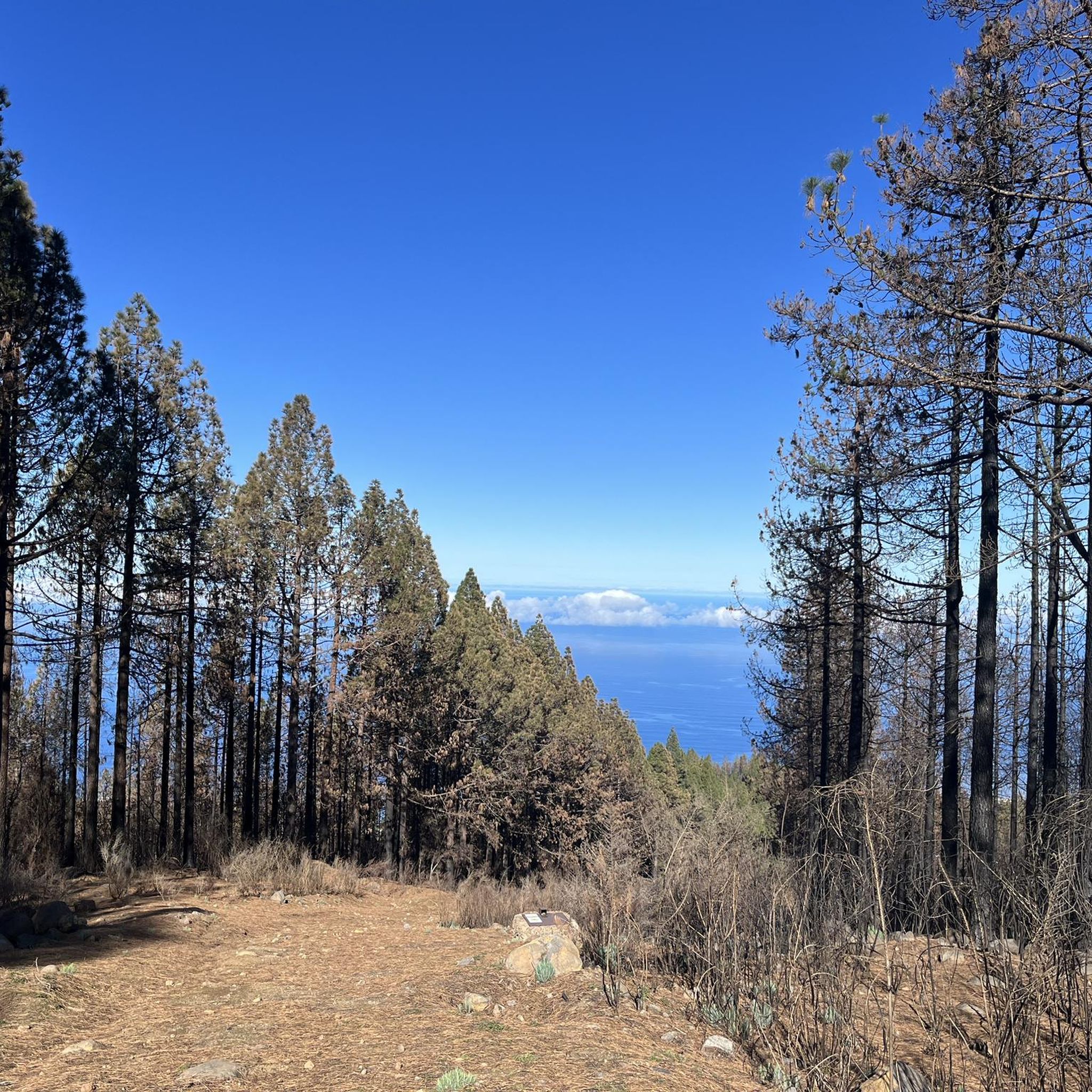
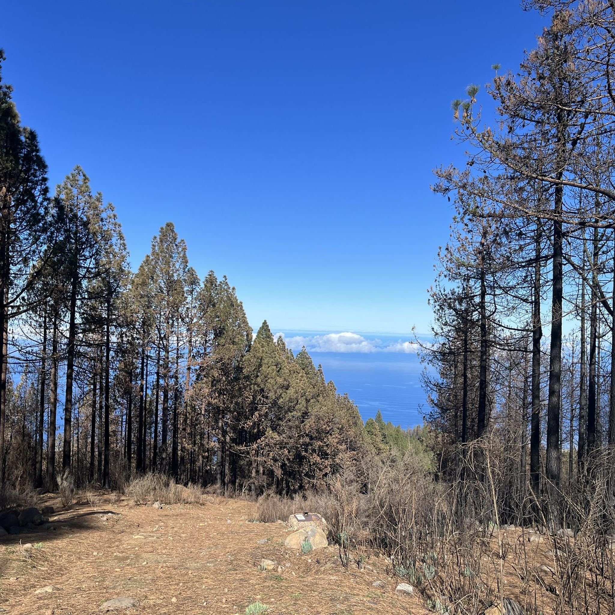
The chapel is located in Lomo La Jara. The hiking trail is called Pista Montana el Haya; it's a great hiking route that leads along here amidst beautiful nature 💚.
3
1

Very easy to drive forest path
0
0

At the start of the gravel road, there's a sign prohibiting bicycles, but further down you'll see a bicycle path sign, which should be okay. However, there's a sign there indicating when the mouflon hunt is, so be sure to pay attention to that.
0
0

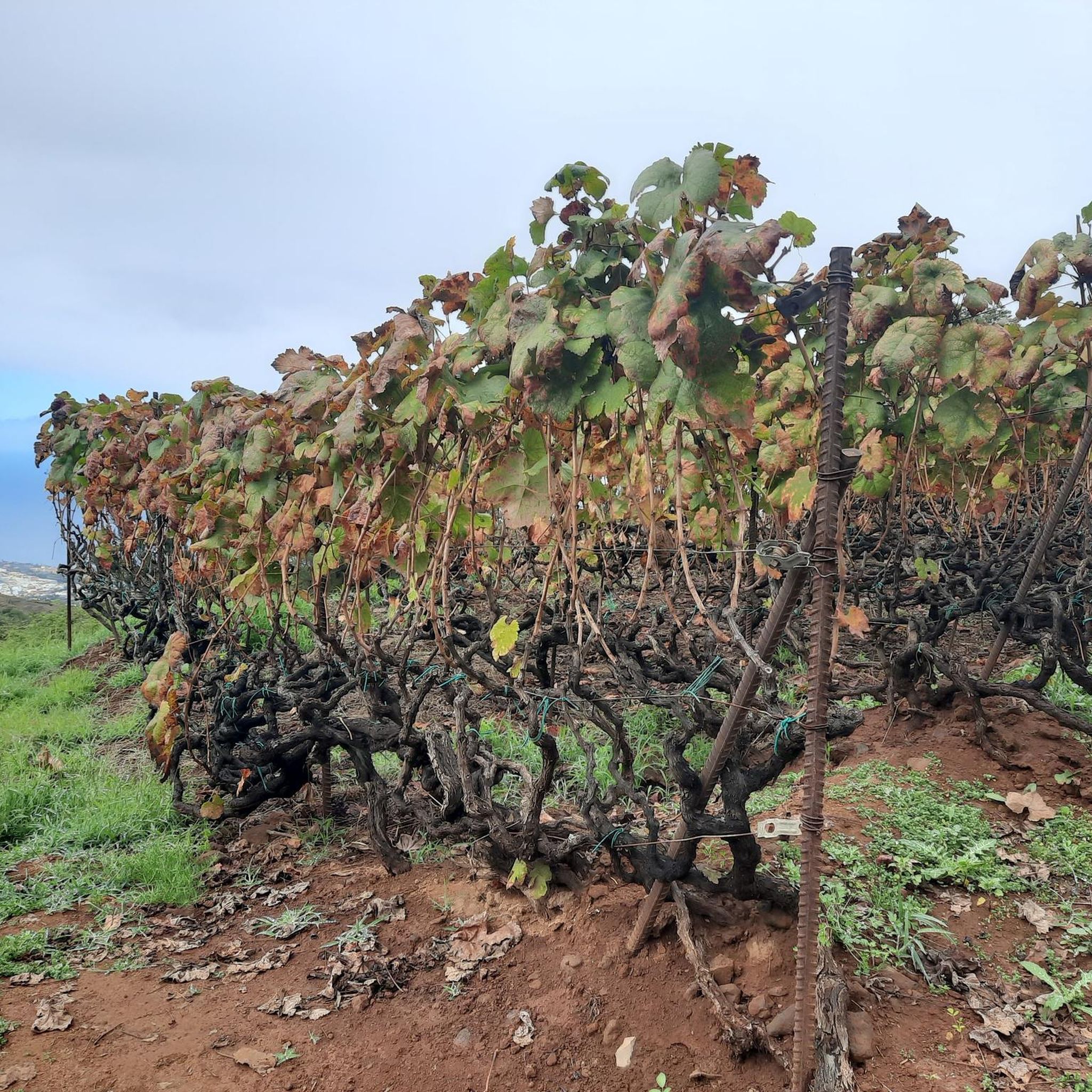
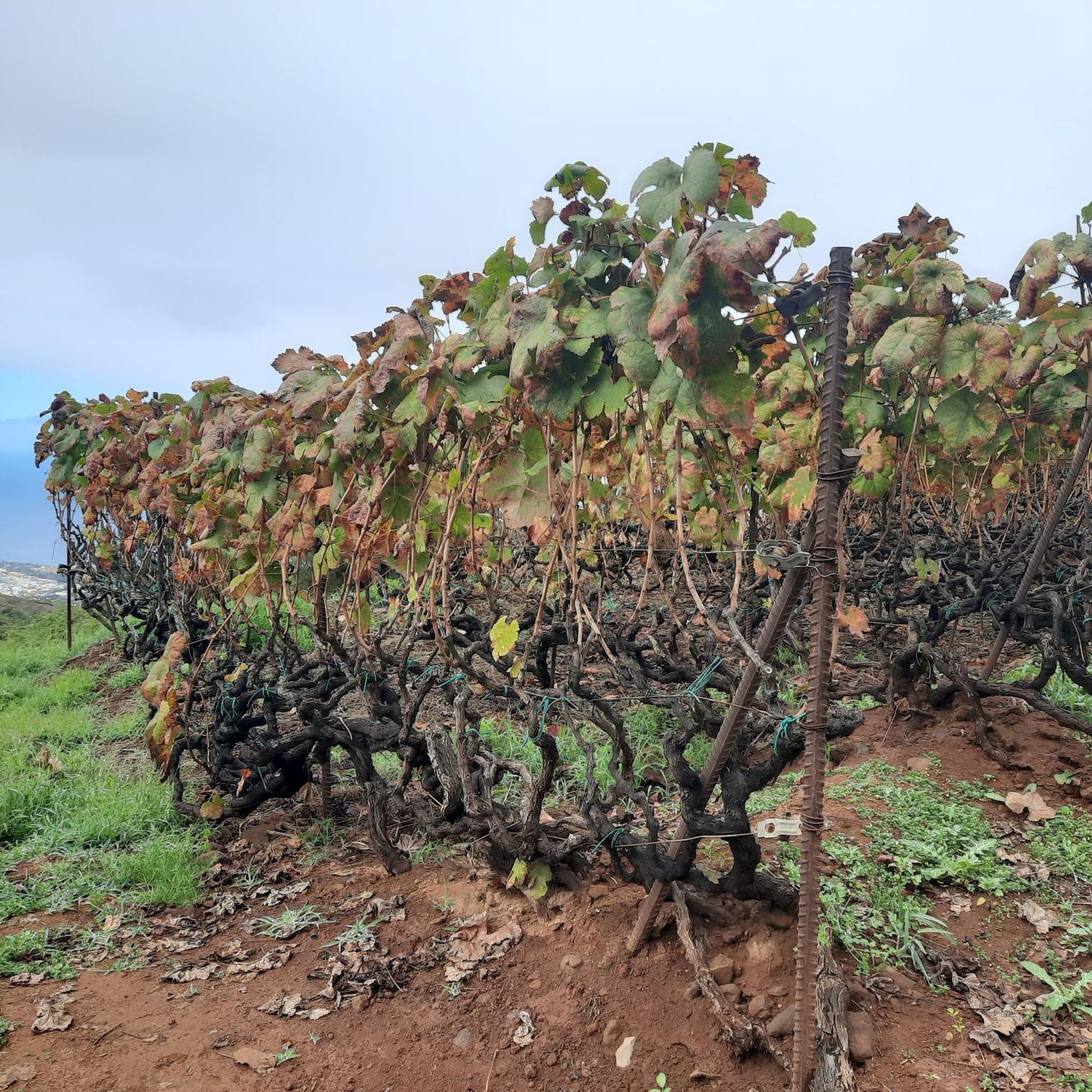
Since the last forest fire in this part there’s a high risk of falling rocks. Some parts were unrideable with gravel bike (45mm tires) because of the large amount of rocks on the road.
0
0
Since the last forest fire in this part there’s a high risk of falling rocks. Some parts were unrideable with gravel bike (45mm tires) because of the large amount of rocks on the road.
0
0

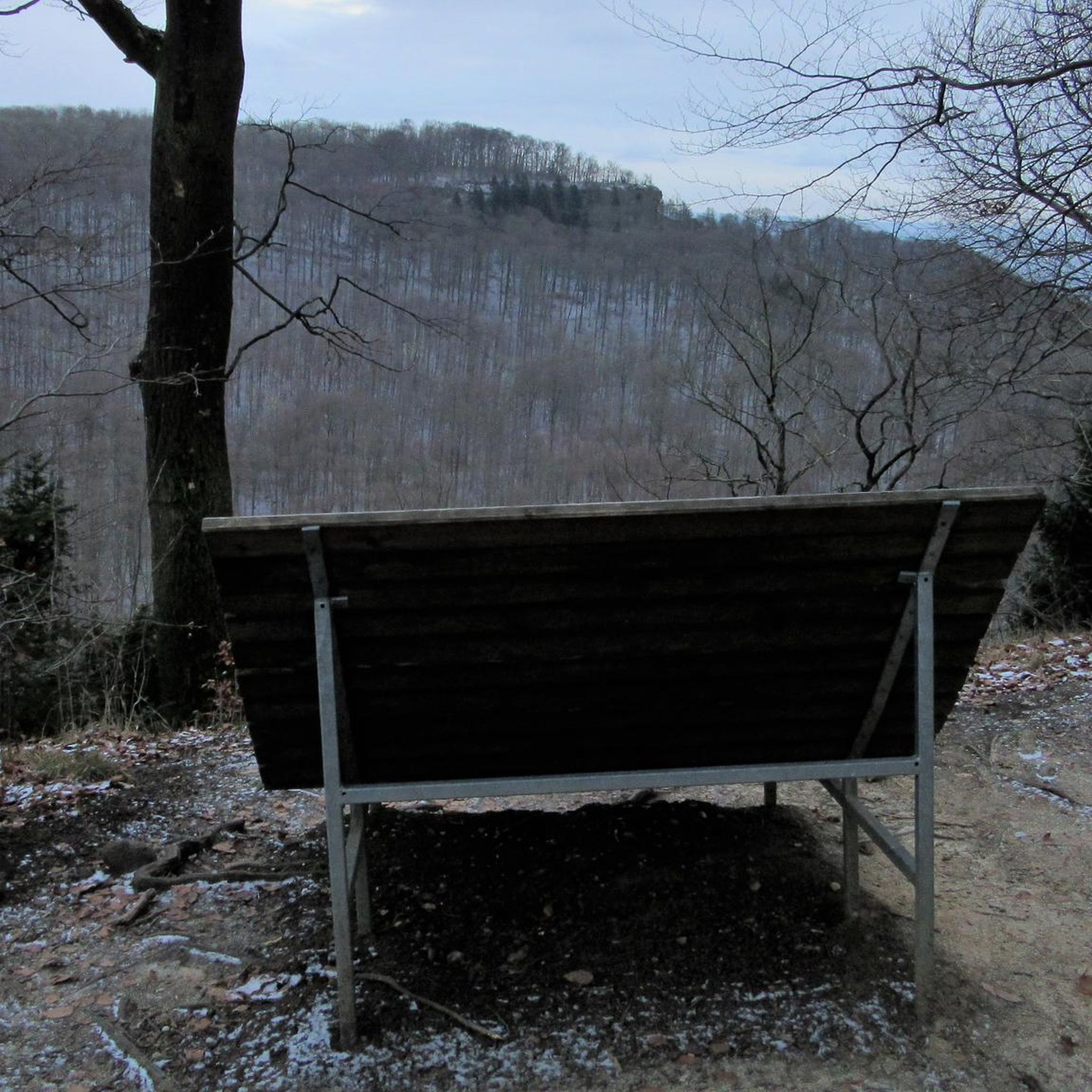
Be sure to plan for a great view
0
0

It's an easy walk. Normally. The last third is still closed because of the major fire a few months ago and the clean-up work that is taking place. It's better to ask beforehand.
1
0

Frequently Asked Questions
What kind of terrain can I expect on mountain bike trails in La Victoria de Acentejo?
Mountain biking in La Victoria de Acentejo offers a diverse range of terrain. You'll encounter extensive pine and laurel forests, rugged coastlines with stunning Atlantic views, and varied volcanic landscapes. Trails often feature significant elevation changes, providing both demanding climbs and exhilarating descents across different surfaces.
Are there mountain bike trails suitable for beginners in La Victoria de Acentejo?
Yes, La Victoria de Acentejo offers options for various skill levels. While many routes involve significant elevation, there are 10 easy trails and 50 moderate trails available. For example, the Cruz de Fune Chapel – Las Aguilillas Forest Track loop from El Montillo is a moderate 14.0-mile path that explores forest tracks with scenic views.
Where can experienced mountain bikers find challenging routes in La Victoria de Acentejo?
Experienced mountain bikers will find plenty of challenging routes in La Victoria de Acentejo, with 27 difficult trails available. Routes like the Cruz de Fune Chapel – Montaña El Haya Trail loop from La Victoria de Acentejo, a 33.8-mile trail with substantial elevation gain, or the Las Canales Picnic Area – Choza de Almadi loop from El Pirul, which covers 35.8 miles and over 2,000 meters of elevation, offer demanding rides through varied landscapes.
What natural landmarks or viewpoints can I see while mountain biking in La Victoria de Acentejo?
The region is rich in natural beauty and offers several stunning viewpoints. You can find highlights such as View of Teide from Portillo del Topo, View of Teide, Puerto de la Cruz, Playa Los Patos and Playa El Ancón, and the impressive Los Roques coastal rock formation. The area also features protected landscapes like Las Lagunetas with its laurel and pine forests.
Are there any cultural or historical attractions near the mountain bike trails?
Yes, beyond the natural landscapes, La Victoria de Acentejo has cultural and historical points of interest. The municipal boundaries hold signs of a pre-Hispanic past, including a 'tagoror' (meeting place for tribal chiefs) and burial caves. The borough also features charming popular architecture, including the parish church with valuable art and the Santo Domingo convent.
What do other mountain bikers enjoy the most about mountain biking in La Victoria de Acentejo?
The area is highly rated by the komoot community, with an average score of 4.5 stars from over 300 reviews. Mountain bikers often praise the diverse terrain, the extensive pine and laurel forests, and the challenging elevation changes that provide both demanding climbs and exhilarating descents. The scenic views of the Atlantic and volcanic landscapes are also frequently highlighted.
Are there loop mountain bike trails available in La Victoria de Acentejo?
Yes, many mountain bike trails in La Victoria de Acentejo are designed as loops, allowing you to start and end at the same point. Examples include the Cruz de Fune Chapel – Montaña El Haya Trail loop and the Makeshift Forest Shelter – View of the Güímar Valley loop, offering convenient circular routes for exploration.
What is the best time of year for mountain biking in La Victoria de Acentejo?
La Victoria de Acentejo, located in northern Tenerife, generally offers favorable conditions for mountain biking year-round due to the island's mild climate. However, the cooler months from autumn to spring might be more comfortable for longer rides, especially those with significant elevation gain, to avoid the peak summer heat. Always check local weather forecasts before heading out.
Are there any protected natural areas that mountain bike trails pass through?
Yes, mountain bike trails in La Victoria de Acentejo often traverse or are adjacent to several protected natural areas. These include the Protected Area of Ladera de Santa Úrsula, Los Órganos, Altos del Valle de Güímar, and Monte de la Esperanza, characterized by pine and laurel forests. The coastal sector is also part of the Acantilados del Sauzal y Tacoronte Protected Landscape, known for its scenic cliffs and endemic plants.
Can I find places to relax or have a picnic along the mountain bike routes?
Yes, the region offers recreation areas where you can take a break. The Hoya de Los Abades Recreation Area, nestled within pine and laurel forests, provides a pleasant spot for relaxation and enjoying the natural surroundings. Some routes, like the Las Canales Picnic Area – Choza de Almadi loop, even start or pass by designated picnic spots.
What is the typical distance and duration of mountain bike trails in La Victoria de Acentejo?
The trails vary significantly in distance and duration. You can find shorter routes like the Makeshift Forest Shelter – View of the Güímar Valley loop, which is about 12.5 miles (20.2 km) and takes around 2 hours 7 minutes. Longer, more challenging routes, such as the Corral del Niño loop from Paisaje Protegido de Las Lagunetas, can extend to 45.3 miles (72.9 km) and take over 7 hours to complete.
Are there any specific permits required for mountain biking in La Victoria de Acentejo?
While general mountain biking on established trails in the region typically doesn't require specific permits, it's always advisable to check for any local regulations, especially if you plan to venture into protected natural parks or sensitive ecological areas. Always respect signage and local guidelines.
Most popular routes around La Victoria De Acentejo
Most popular attractions around La Victoria De Acentejo

Get inspired with the komoot mobile app


Explore more
Browse the best MTB trails in other regions.
