The best mountain hikes around Arafo
4.8
(12)
75
hikers
7
hikes
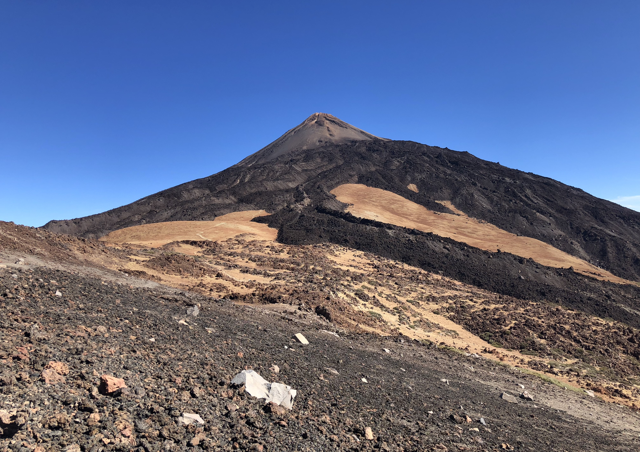
Mountaineering routes around Arafo, nestled on Tenerife, traverse dramatic volcanic landscapes and diverse ecosystems. The region is characterized by rugged volcanic terrain, including expansive fields of black lava and ash, and transitions through various pine forests at different altitudes. Significant elevation changes are common, with routes demanding sure-footedness and alpine experience. Higher vantage points consistently offer views of Mount Teide, Spain's highest peak.
Best mountaineering routes around Arafo
- The most popular mountaineering route is La Caldera Natural Park – View…
Last updated: July 1, 2026
4.8
(4)
24
hikers
11.0km
04:22
580m
580m
Moderate mountaineering route. Good fitness required. Mostly accessible paths. Sure-footedness required.
4.8
(5)
28
hikers
10.9km
04:08
570m
570m
Moderate mountaineering route. Good fitness required. Mostly accessible paths. Sure-footedness required.

Sign up for free
5.0
(3)
6
hikers
17.9km
06:32
730m
730m
Hard mountaineering route. Very good fitness required. Mostly accessible paths. Sure-footedness required.
8
hikers
9.13km
04:59
890m
890m
Moderate mountaineering route. Good fitness required. Mostly accessible paths. Sure-footedness required.
2
hikers
Moderate mountaineering route. Great for any fitness level. Mostly accessible paths. Sure-footedness required.
Get access to more routes and recommendations from other explorers.
Sign up for free
Already have an account?
Our route recommendations are based on thousands of hikes, rides, and runs completed by other people on komoot.
Start today with a free account
Your next adventure awaits.
Login or Signup



Tips from the Community


From here, different rounds are possible.
0
0

Ideal starting point for many beautiful mountain hikes. Parking spaces and bus station.
10
0
Very beautiful mountain path to the Montagna de las Cuevas
9
1
Wonderful viewpoint and good place for a rest
9
1
Wonderful mountain trail. Closed by the administration since the forest fire. Walk at your own risk (January 2025)
8
1

Huevos del Teide are clearly and nicely visible below the cross road from Montaña Blanca to Altavista refugee on the la Rambleta plateau. Their black, lava-colour differentiates clearly on the yellow colour of sand that mainly cover the plateau.
0
0
Frequently Asked Questions
What kind of terrain defines mountaineering routes around Arafo?
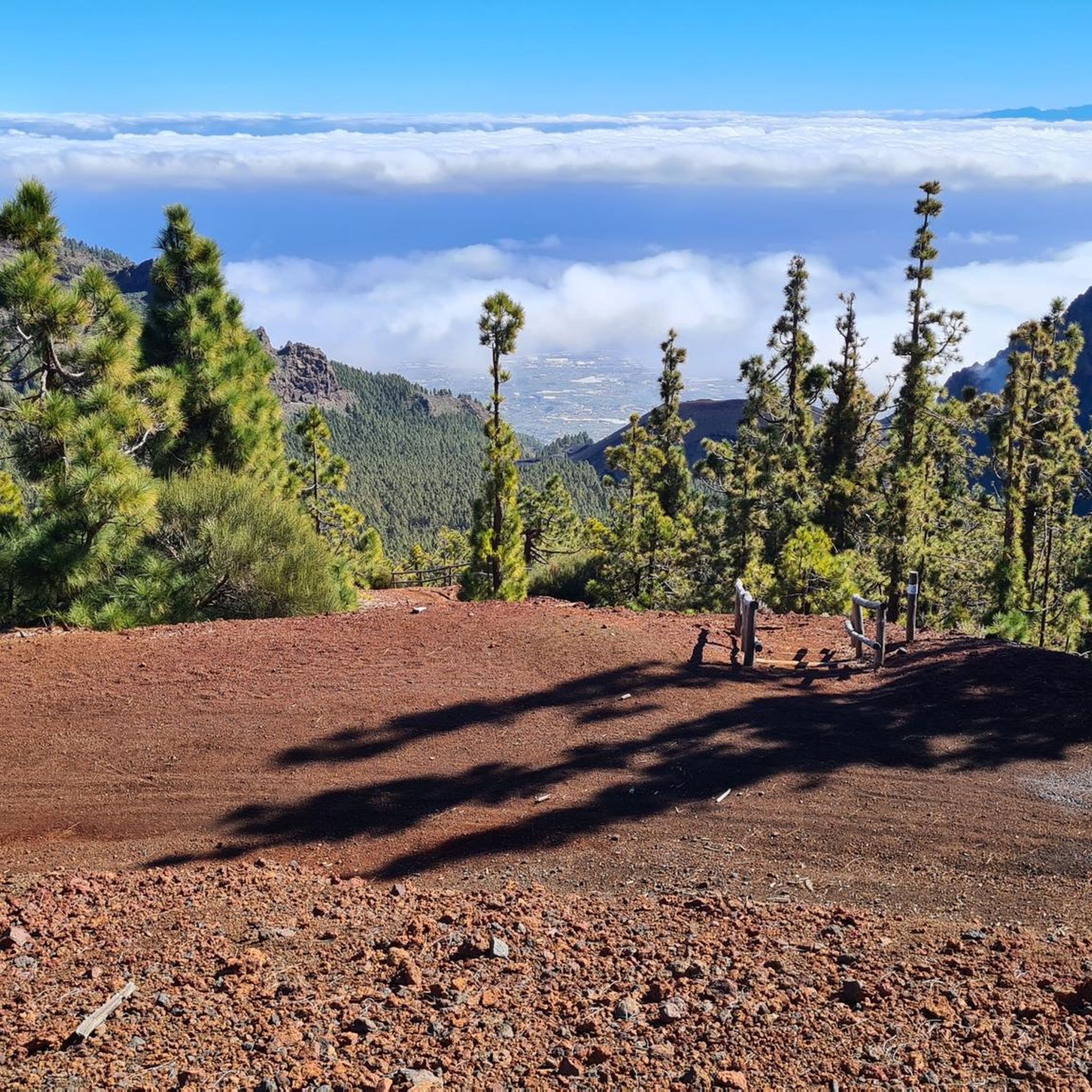
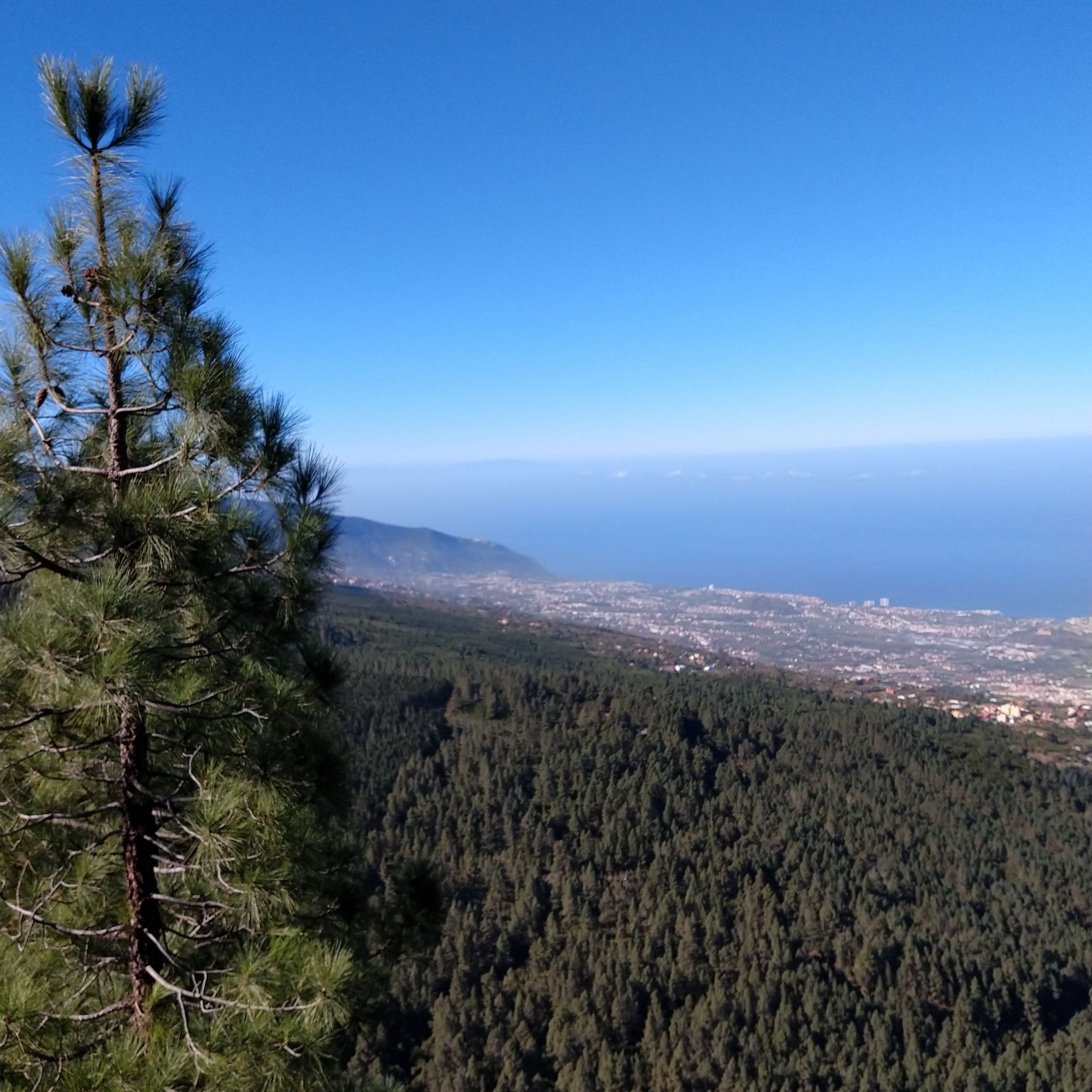
Mountaineering in Arafo is characterized by its dramatic volcanic landscapes. You'll encounter rugged surfaces, expansive fields of black lava and ash, and unique geological formations. As you ascend or descend, the terrain transitions through various pine forests, offering a diverse environment for your climbs.
Are there routes suitable for beginners in mountaineering around Arafo?
While Arafo offers challenging terrain, there are moderate routes that can be suitable for those with good fitness looking to gain mountaineering experience. For example, the The Organs Basalt Cliffs – Corona Forestal Nature Park loop from La Caldera is a moderate route that covers about 5.9 miles (9.5 km) with less elevation gain, providing an introduction to the region's unique landscapes.
What are the more challenging mountaineering routes in Arafo?
For experienced mountaineers seeking a significant challenge, Arafo offers demanding routes with considerable elevation changes. The Huevos del Teide – View of Mount Teide loop from Centro de Visitantes is a difficult 11.1-mile (17.9 km) path with over 2,300 feet (700 meters) of elevation gain, providing expansive views towards Mount Teide and requiring very good fitness and alpine experience.
Can I expect views of Mount Teide on these routes?
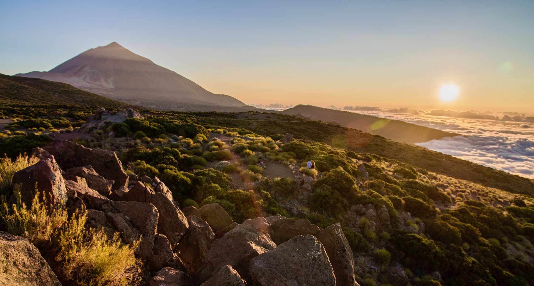
Yes, many of the higher vantage points and trails around Arafo offer stunning views of Mount Teide, Spain's highest peak. Routes are often designed to maximize these picturesque backdrops, providing motivating scenery for your mountaineering endeavors.
Are there any circular mountaineering routes available?
Arafo features several circular routes, allowing you to start and end at the same point. The View of Teide – Mirador de la Glorieta loop from Aguamansa is a moderate 6.2-mile (10.1 km) circular route that offers beautiful views and varied terrain.
What interesting natural features can I explore along the routes?
Beyond the volcanic landscapes, you can explore unique geological sites. The area features ancient caves and dramatic gorges. For example, you might encounter highlights like Cueva Honda or the Lava Arch and Cave on the Coast. The region's volcanic past is evident in cinder cone volcanoes and lava fields.
What is the best time of year for mountaineering in Arafo?
Arafo offers mountaineering opportunities year-round, but the best time often depends on your preference for weather conditions. The region's altitude means temperatures can vary significantly. Generally, spring and autumn provide pleasant conditions, while summer can be warm at lower elevations and winter might bring cooler temperatures and potentially more challenging conditions at higher altitudes.
Are there any cafes or places to eat near the mountaineering trails?
While the routes themselves traverse natural, often remote, landscapes, you can find cafes and restaurants in the nearby towns and villages, such as Arafo itself or Aguamansa, which serve as common starting points for many tours. It's always advisable to carry sufficient water and snacks for your climb.
What do other mountaineers say about the routes in Arafo?
The mountaineering routes in Arafo are highly regarded by the komoot community, holding an average score of 5.0 stars from over 7 reviews. Users frequently praise the challenging volcanic terrain, the extensive pine forests, and the rewarding views of Mount Teide.
Is public transport available to reach the trailheads?
While some trailheads might be accessible by local bus services, public transport options can be limited for more remote starting points. It's recommended to check local bus schedules in advance or consider renting a car for greater flexibility in reaching various trailheads around Arafo.
Are permits required for climbing or accessing certain areas?
For general mountaineering routes in Arafo, specific permits are typically not required. However, if your route ventures into protected areas or involves climbing specific rock faces, it's always best to check with local authorities or park information centers for any current regulations or permit requirements.
Are there any family-friendly mountaineering options in Arafo?
The mountaineering routes around Arafo are generally categorized as moderate to difficult, requiring good fitness and sure-footedness. While there are no 'easy' mountaineering routes listed, families with older, experienced children who are accustomed to challenging hikes might find some of the moderate trails manageable. However, for younger children or those new to hiking, it's advisable to look for easier walking trails in other parts of Tenerife.
Most popular attractions around Arafo

Get inspired with the komoot mobile app


Explore more
Browse the best Mountain Hikes & Routes in other regions.
