The best walks and hikes around Livet-Et-Gavet
4.5
(470)
4,276
hikers
23
hikes
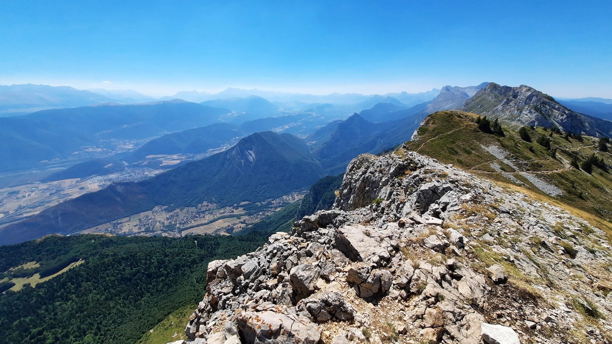
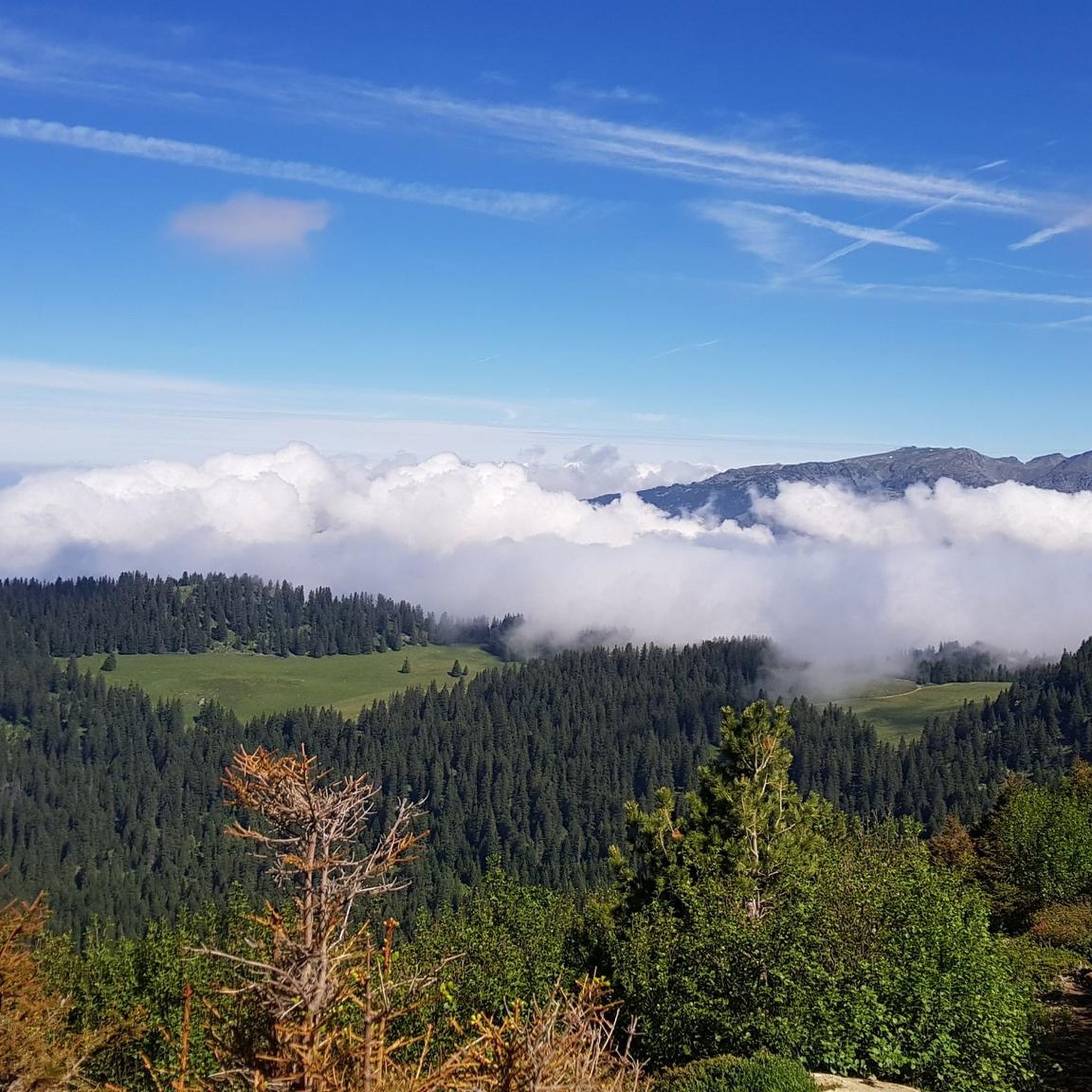
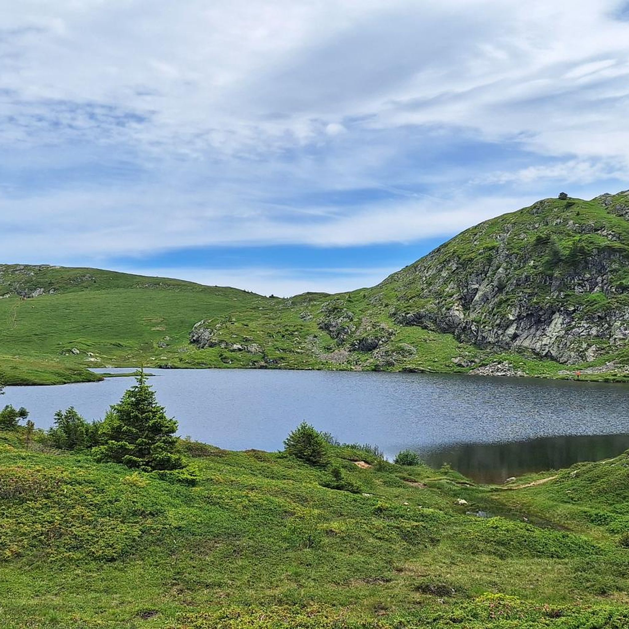
Hiking around Livet-Et-Gavet offers access to the diverse natural features of the Isère department, situated between the Belledonne and Taillefer mountain ranges. The region is characterized by dramatic alpine landscapes, including high-altitude mountain lakes and the Romanche Valley. This area provides varied terrain, from challenging mountain paths to more accessible routes, all set within a historically significant hydroelectric generation zone.
Best hiking trails around Livet-Et-Gavet
- The most popular hiking route is Le Taillefer Loop, a 8.6 miles (13.9 km)…
Last updated: October 10, 2026
4.7
(37)
343
hikers
13.9km
07:14
1,220m
1,220m
This difficult 8.6-mile loop in the Massif du Taillefer offers challenging terrain, panoramic views, and mountain lakes like Lac Fourchu.
4.9
(18)
202
hikers
8.09km
03:25
470m
470m
Moderate hike. Good fitness required. Mostly accessible paths. Sure-footedness required.

4.7
(36)
322
hikers
14.8km
07:15
1,150m
1,150m
Hard hike. Very good fitness required. Sure-footedness, sturdy shoes and alpine experience required.
4.8
(12)
116
hikers
14.1km
05:19
630m
630m
Hard hike. Very good fitness required. Mostly accessible paths. Sure-footedness required.
4.9
(10)
88
hikers
7.78km
03:51
590m
590m
Hard hike. Good fitness required. Sure-footedness, sturdy shoes and alpine experience required.
Get access to more routes and recommendations from other explorers.
Already have an account?
Our route recommendations are based on thousands of hikes, rides, and runs completed by other people on komoot.
Start today with a free account
Your next adventure awaits.

Other adventures around Livet-Et-Gavet

Tips from the Community

The summit is perfect for bivouacking, and with a windless night, it's even possible to sleep under the stars. The summit is very flat, making it easy to pitch a tent. Stay vigilant, it's a summit at 2,800 meters, very exposed to the wind.
0
0

Stay on the whole to preserve this jewel of nature
0
0
Climbed by Ornon to have fewer people
0
0

This stele was erected to pay tribute to the three soldiers buried under an avalanche in 1976
0
0
A high-altitude lake, very quiet and rarely visited. The lake is at an altitude of 2,115 m. It offers breathtaking 360° views.
0
0

Magnificent 180° view of the Black Lakes and the Huez Valley in the background
0
0

The hike to the lake is highly recommended and the view of the mountains and the lake is simply magnificent.
1
0
Frequently Asked Questions
How many hiking trails are available in Livet-Et-Gavet?
Livet-Et-Gavet offers a diverse network of over 20 hiking trails. These routes cater to various fitness levels, ranging from easy walks to demanding treks through the alpine landscape.
Are there hiking trails suitable for beginners or families in Livet-Et-Gavet?
Yes, Livet-Et-Gavet provides several accessible routes suitable for all skill levels, including easier, shorter walks perfect for beginners or families. While specific easy routes aren't detailed here, the region offers options beyond the challenging mountain paths.
What kind of challenging hikes can I find in the Livet-Et-Gavet area?
For experienced hikers, the region offers demanding treks with significant elevation gain. A notable challenging route is Le Taillefer Loop, a 13.9 km trail in the Massif du Taillefer, known for its panoramic views. Other difficult options include the Lovely trail – Mine Pass loop from Lac de Poursollet and the Lake Fourchu – Lake Fourchu loop from Parking Combe oursière.
Are there any circular hiking routes in Livet-Et-Gavet?
Yes, the area features several circular routes. For instance, the Lake Fourchu – Lake Fourchu loop from Lac de Poursollet is a moderate 8.1 km path offering picturesque mountain lake scenery. Another option is the Lake Brouffier – Le Louvet loop from Parking Combe oursière.
Can I find hikes that feature waterfalls in Livet-Et-Gavet?
Absolutely. The region is home to impressive waterfalls that can be incorporated into hiking routes. You can explore highlights such as the Oursière Waterfall or the Cascade de la Fare. The Cirque of the Boulon Waterfalls also offers a stunning natural spectacle.
Which hikes offer views of the picturesque mountain lakes in the region?
Livet-Et-Gavet is rich with beautiful mountain lakes. Hikes often lead to or around them, such as the routes to Lake Achard, which offers stunning mountain views, or the high-altitude Lake Crozet. The Lake Fourchu loop from Lac de Poursollet is another excellent choice for lake scenery.
What are some notable natural landmarks or viewpoints to explore during a hike?
Beyond the lakes and waterfalls, hikers can discover several natural landmarks and viewpoints. The Revollat Cross offers a great vantage point, and the La Croix de Chamrousse Summit provides magnificent, wild landscapes and panoramic views of the French Northern Alps.
Is Livet-Et-Gavet a dog-friendly hiking destination?
While many areas in the French Alps are dog-friendly, specific regulations can apply, especially in sensitive natural environments or protected areas like Natura 2000 sites. It's always advisable to check local signage or official park websites for the most current rules regarding dogs on trails, particularly concerning leash requirements and waste disposal.
What is the best time of year to go hiking in Livet-Et-Gavet?
The best time for hiking in Livet-Et-Gavet is generally from late spring to early autumn (May to October). During these months, the weather is typically more stable, and trails are clear of snow, especially at higher altitudes. Summer offers warmer temperatures, while spring and autumn provide vibrant foliage and fewer crowds.
Are there options for reaching trailheads using public transport?
Livet-Et-Gavet is located in the Isère department, and while public transport options exist within the region, direct access to all trailheads might be limited. It's recommended to research local bus services or shuttle options that connect to popular starting points like Lac de Poursollet or Parking Combe Oursière, especially during peak hiking season.
Where can I find parking for hiking trails in Livet-Et-Gavet?
Many popular trailheads in Livet-Et-Gavet, especially those leading to well-known lakes or mountain routes, offer designated parking areas. For example, Parking Combe Oursière is a common starting point for hikes to Lac Fourchu and Lac Brouffier. It's advisable to arrive early during busy periods to secure a spot.
Are there any specific regulations or permits required for hiking in Livet-Et-Gavet?
Generally, no specific permits are required for hiking on most trails in Livet-Et-Gavet. However, as parts of the region are within sensitive natural environments, hikers should always adhere to Leave No Trace principles, stay on marked paths, and respect local wildlife. Always check for any temporary restrictions or specific rules for protected areas.
What do other hikers enjoy most about the trails in Livet-Et-Gavet?
The trails in Livet-Et-Gavet are highly rated by the komoot community, with an average score of 4.6 stars from over 300 reviews. Hikers frequently praise the dramatic alpine landscapes, the stunning high-altitude mountain lakes, and the diverse terrain that offers options for various skill levels. The panoramic views from the Taillefer massif are also a common highlight.
Most popular routes around Livet-Et-Gavet
Most popular attractions around Livet-Et-Gavet

Get inspired with the komoot mobile app


Explore more
Browse the best Hikes in other regions.
