The best running trails around Jouhe
4.2
(45)
3,723
runners
12
runs
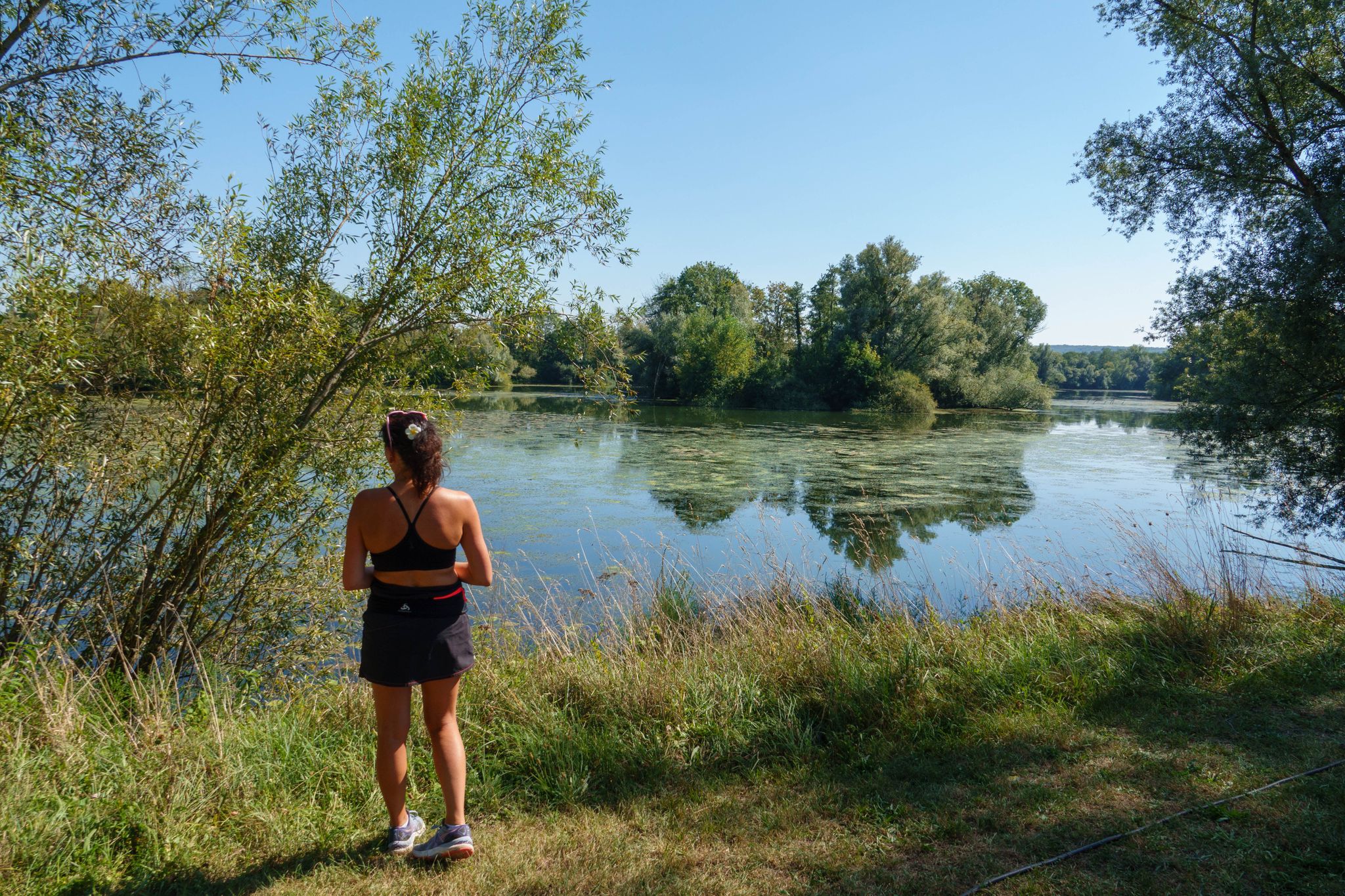
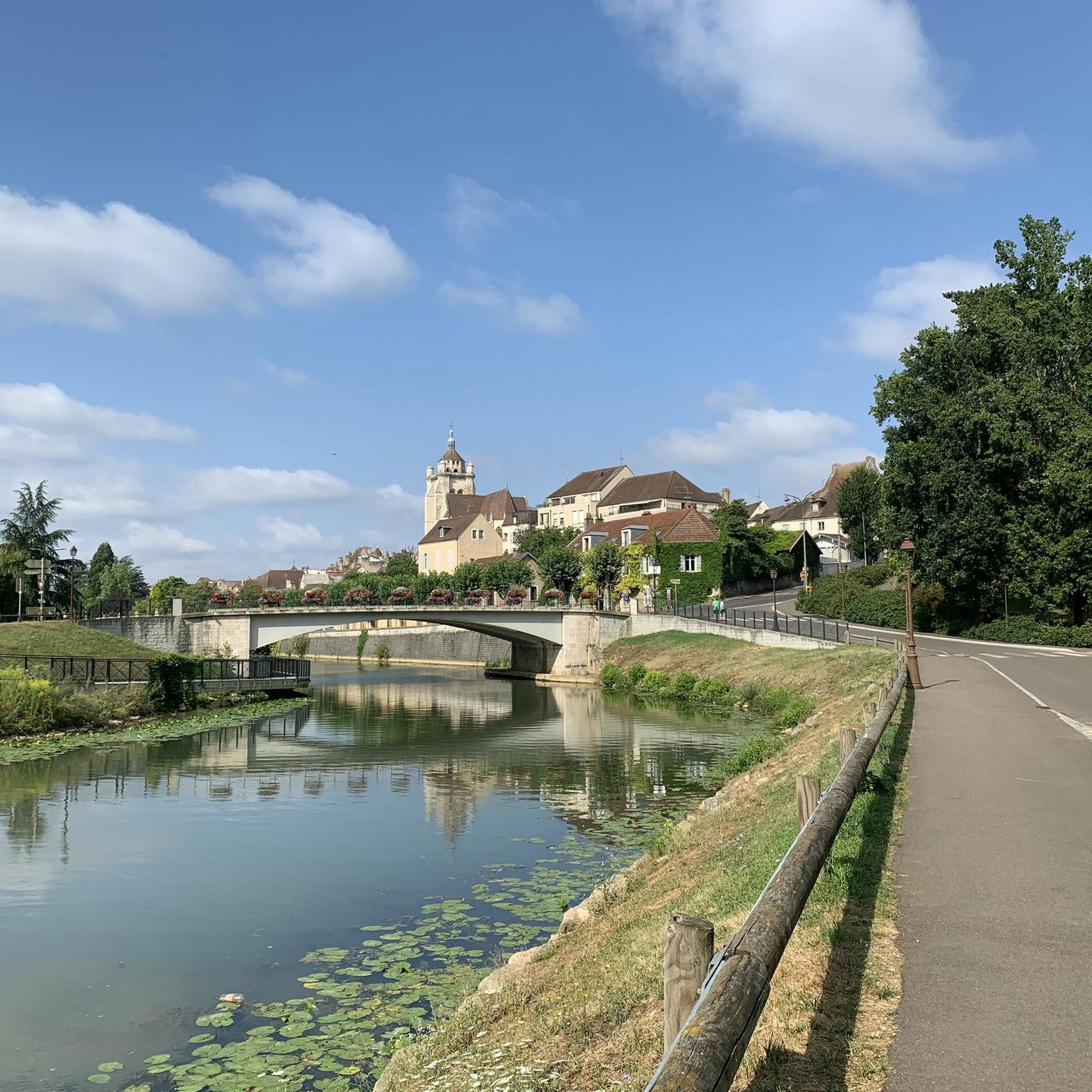
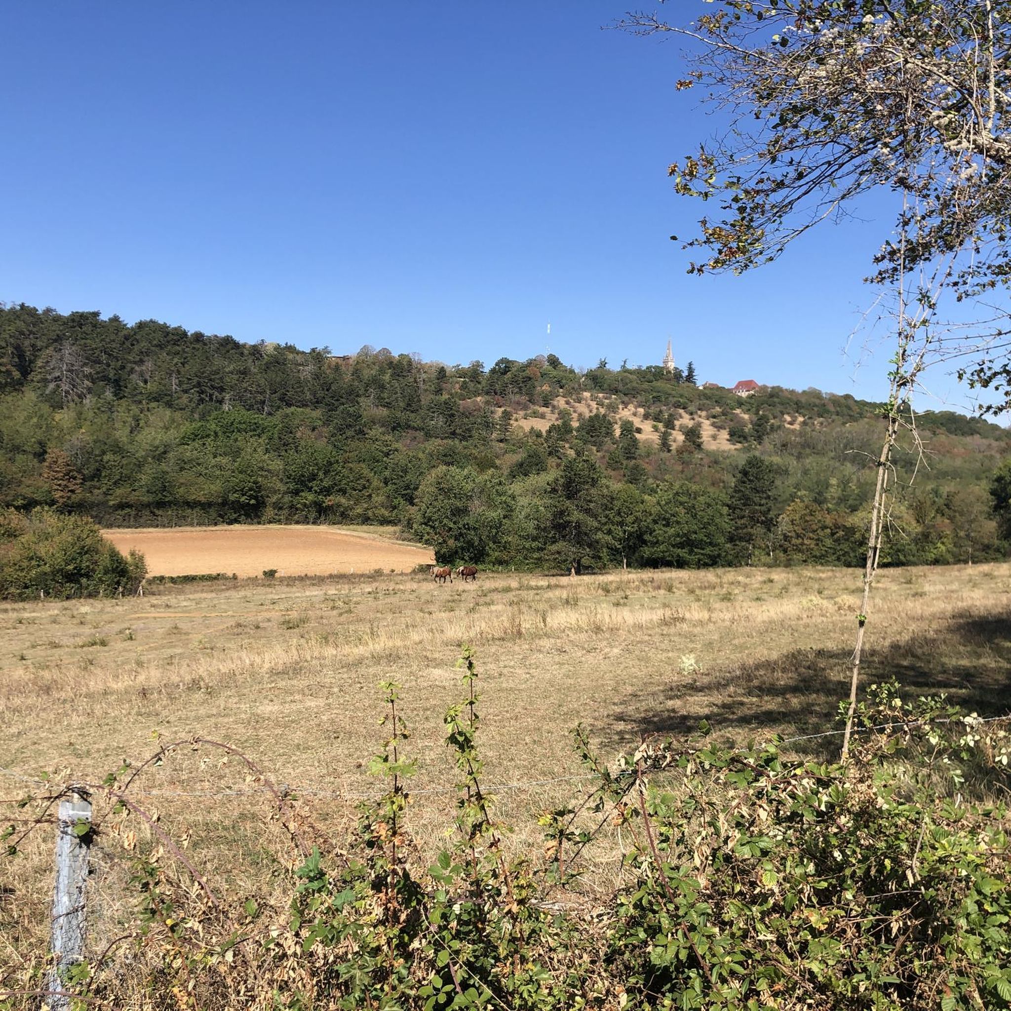
Jogging routes around Jouhe are characterized by a diverse landscape, situated at the foot of Mont-Roland and traversed by the Vèze river. The region features a mix of agricultural land, extensive forests, and meadows, providing varied terrain for runners. Elevations around Mont-Roland offer opportunities for challenging climbs, while riverside paths provide flatter options. This combination of natural features creates a dynamic environment for running.
Best jogging routes around Jouhe
- The most popular jogging route is Hermitage Cave – Hermitage Cave…
Last updated: July 6, 2026
32
runners
11.0km
01:20
220m
220m
Moderate run. Good fitness required. Mostly paved surfaces. Suitable for all skill levels.
13
runners
5.06km
00:38
110m
110m
Moderate run. Good fitness required. Mostly paved surfaces. Suitable for all skill levels.

Sign up for free
11
runners
Moderate run. Good fitness required. Mostly paved surfaces. Suitable for all skill levels.
9
runners
9.96km
01:13
220m
220m
Moderate run. Good fitness required. Mostly paved surfaces. Suitable for all skill levels.
3
runners
7.97km
00:57
150m
160m
Moderate run. Good fitness required. Mostly paved surfaces. Suitable for all skill levels.
Get access to more routes and recommendations from other explorers.
Sign up for free
Already have an account?
Our route recommendations are based on thousands of hikes, rides, and runs completed by other people on komoot.
Start today with a free account
Your next adventure awaits.
Login or Signup
Other adventures around Jouhe

Tips from the Community

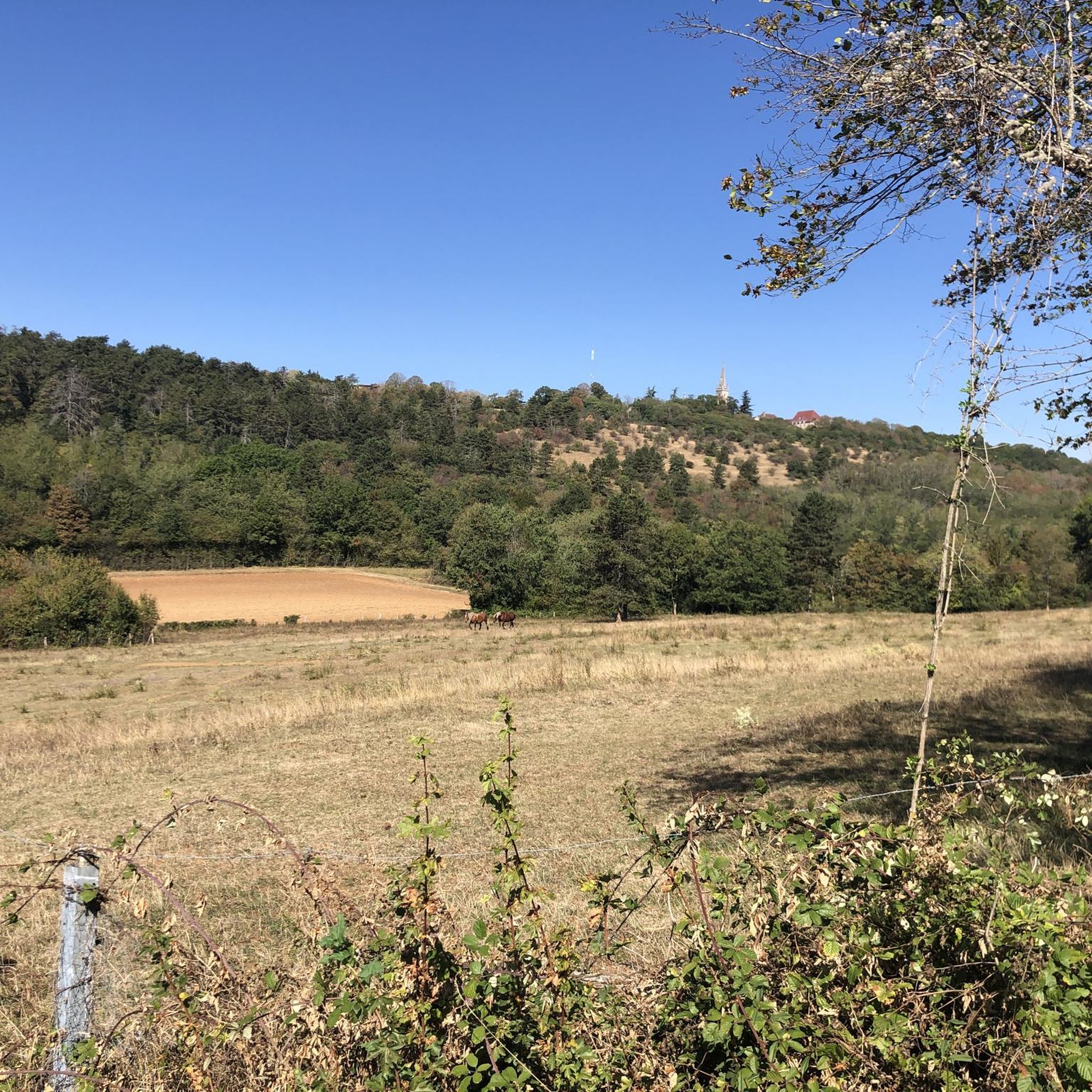
From here, you can enjoy breathtaking views of the surrounding fields and forests. A great place to take a break and refuel!
0
0
This shaded path, in the middle of the forest, is particularly pleasant for walking in the middle of summer or in any season.
0
0
The Notre-Dame de Mont-Roland sanctuary, located on the heights of Dole, is an ancient pilgrimage site dedicated to the Virgin Mary. Founded in the 17th century, it includes a chapel, a calvary, and a Stations of the Cross, all surrounded by forest. The site also offers a sweeping panorama of the Doubs Valley and the Jura Mountains.
0
0

Very beautiful view of the Saône plain and Mont Poupet. Free ride in the Chaux forest, Rochefort and cliff, return via Mont Roland
0
0

Sanctuary of the departure of the pilgrimage to Vézelay or to Compostela.
1
0

Pilgrimage site in the Jura, located on the Way of St. James.
1
0

Striking and great location
3
0
The Way of the Cross is part of the Sanctuaire Mont Roland
2
0
Frequently Asked Questions
How many running routes are available around Jouhe?
There are over 270 running routes around Jouhe, offering a wide variety of options for all skill levels. The komoot community has explored these trails over 4000 times, highlighting the area's popularity for outdoor activities.
What kind of terrain can I expect on jogging routes in Jouhe?
Jogging routes in Jouhe feature diverse terrain. You can expect undulating slopes around Mont-Roland, offering challenging climbs and descents, as well as tranquil riverside paths along the Vèze river which provide flatter options. The area also boasts extensive forests and agricultural lands, ensuring a refreshing and varied running experience.
Are there any easy running routes suitable for beginners or a relaxed jog?
Yes, Jouhe offers several easy running routes. For a more relaxed experience, consider the Restaurant mjammie – Mount Roland loop from Sampans, which is an easy 4.2 km (2.6 miles) trail with moderate elevation changes. In total, there are 16 easy routes available.
What are some challenging running routes for experienced runners in Jouhe?
For experienced runners seeking a challenge, Jouhe has 37 difficult routes. A notable option is the Hermitage Cave loop from Gredisans, a difficult 21.0 km (13.1 miles) path with substantial elevation changes through the area's woodlands.
What do other runners enjoy most about the trails in Jouhe?
The running trails in Jouhe are highly rated by the komoot community, with an average score of 4.2 stars from over 44 reviews. Runners often praise the diverse natural landscapes, from the undulating slopes of Mont-Roland to the peaceful Vèze river paths and extensive woodlands, which create a dynamic and scenic environment for jogging.
Are there any circular running routes around Jouhe?
Yes, many of the running routes in Jouhe are circular, allowing you to start and finish at the same point. For example, the Beautiful view of the surroundings – Mont Roprid loop from Authume is a popular 9.7 km (6.0 miles) circular trail.
Can I find any scenic viewpoints or landmarks along the running routes?
Absolutely! The region around Jouhe, particularly Mont-Roland, offers 'green balcony' views of the Doloise plain, the Jura massif, and the Saône plains. You can also find interesting landmarks such as the Notre-Dame Collegiate Church in Dole and the Washhouse of the Source of the Fountain nearby, which can be incorporated into your running adventures.
Are the running trails in Jouhe suitable for families or running with kids?
While specific family-friendly routes are not highlighted in the data, the presence of easy and moderate trails suggests options for families. The diverse landscapes, including forests and meadows, provide a pleasant environment for outdoor activity. It's advisable to check the distance and elevation of individual easy routes to ensure they match your family's fitness level.
Are dogs allowed on the running routes in Jouhe?
The region's natural character, with extensive forests and open spaces, generally makes it welcoming for dogs. While specific regulations for each trail are not detailed, many outdoor areas in France permit dogs on leash. It's always recommended to keep your dog under control and respect local signage regarding pet access.
What are the best times of year to go running in Jouhe?
Jouhe's distinctly green character, with significant forest and agricultural land, makes it pleasant for running throughout much of the year. Spring and autumn offer mild temperatures and beautiful scenery. Summer can be warm, but shaded forest paths provide relief. Winter running is also possible, though conditions may vary, especially on higher elevations like Mont-Roland.
Are there any running routes that pass by water features like rivers or springs?
Yes, the Vèze river crosses Jouhe, offering tranquil waterside paths that can be incorporated into your running routes. Additionally, the locality includes springs to the south at the foot of Mont-Roland, and the Chemin de la Foulotière allows observation of a source and the Doubs valley, providing scenic water features along your run.
How can I find parking near the running trails in Jouhe?
While specific parking locations for each trail are not provided, Jouhe is a commune with various access points to its natural areas. Given its proximity to Dole and established hiking trails, it's likely that parking is available near trailheads or in the villages surrounding the running areas. Checking local maps or the starting points of specific routes on komoot can help identify convenient parking spots.
Most popular attractions around Jouhe

Get inspired with the komoot mobile app


Explore more
Browse the best Running Trails & Routes in other regions.
