Top 5 Mountain Passes around Sigoyer
Best mountain passes around Sigoyer are located in the Hautes-Alpes department of southeastern France, a region defined by its mountainous landscape. Sigoyer, with elevations ranging from 639 to 2,000 meters, offers diverse outdoor activities. The surrounding Gapençais region provides a mild climate suitable for hiking, road biking, and climbing. This area presents a variety of mountain trails near Sigoyer France, appealing to those seeking natural beauty and adventure.
Best mountain passes around Sigoyer
- The most popular mountain passes is Espréaux…
Last updated: August 19, 2026
Espréaux Pass
Highlight • Mountain Pass
Showing Translation
Tip by

Faye Pass
Highlight • Mountain Pass
Showing Translation
Tip by
Sign up now to discover places like this
Get recommendations on the best single tracks, peaks, & plenty of other exciting outdoor places.
Sign up for free
Verniers Pass
Highlight • Mountain Pass
Showing Translation
Tip by
Col de la Sentinelle
Highlight • Mountain Pass
Showing Translation
Tip by
Massif de Céüse
Highlight (Segment) • Climb
Translated by Google •
Tip by

Sign up for free to discover even more mountain passes around Sigoyer.
Sign up for free
Already have an account?
Start today with a free account
Your next adventure awaits.
Login or Signup
Tips from the Community

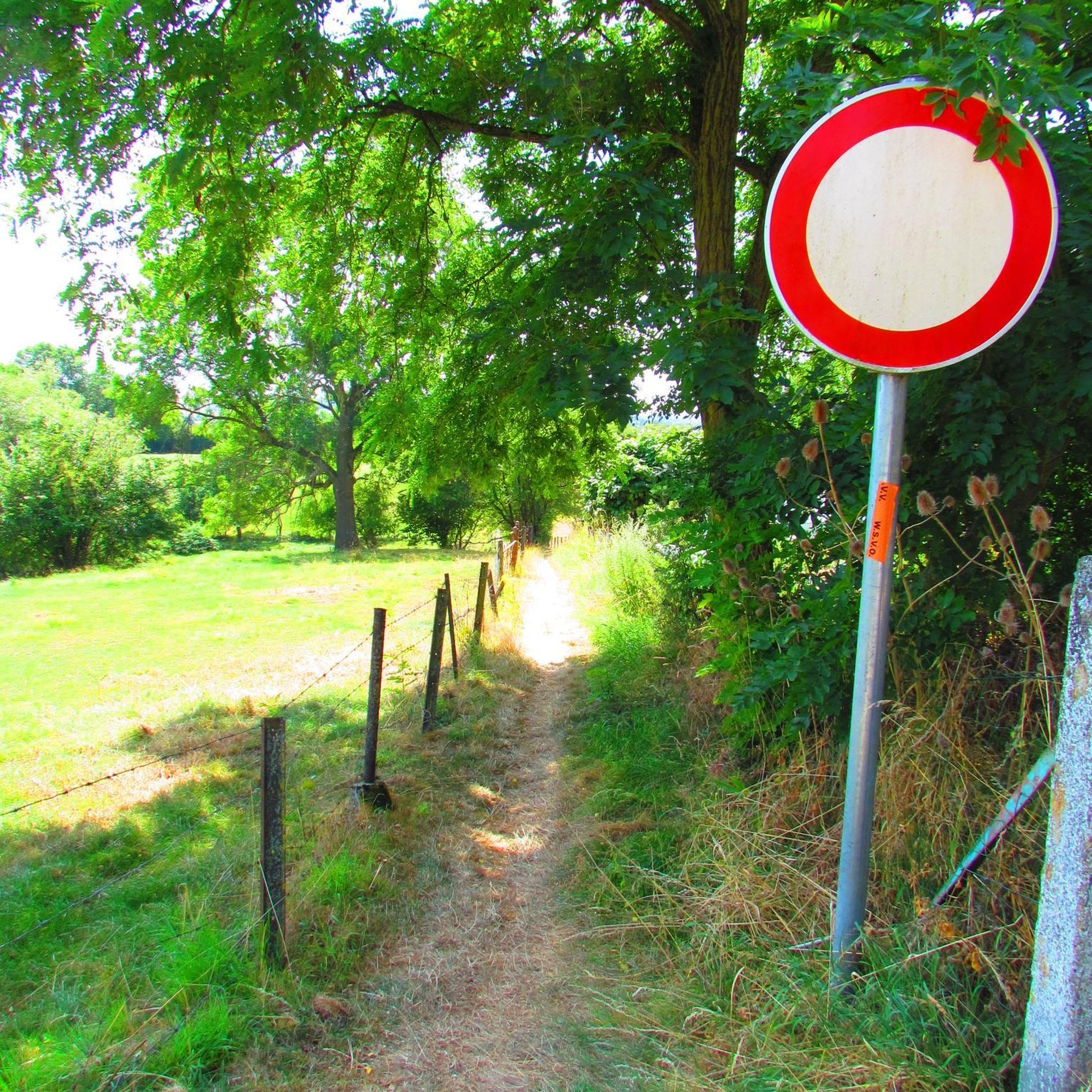
The Col de Verniers via Châteauneuf d'Oze is a climb located in the Hautes-Alpes region. This climb is 2.4 km long, with a total elevation gain of 124 m. The Col de Verniers via Châteauneuf d'Oze has an average gradient of 5.1%.
22
0
The Col d'Espreaux is a climb located in the Hautes-Alpes region. This climb is 12.2 km long, with a total elevation gain of 585 m. The Col d'Espreaux has an average gradient of 4.8%.
18
0
Not a very long climb with sections of significant gradients.
7
0
The Col de Faye is a mountain pass in the Southern Alps, located in the department of Hautes-Alpes at an altitude of approximately 922 to 924 meters. It connects the Buëch valley to the Durance valley — between the municipalities of Savournon and Ventavon — via the departmental road D21.
18
0


A pass lost in the mountains, a very small road with very few cars and magnificent landscapes
2
0

Nice little pass to climb or descend
0
0

Frequently Asked Questions
What are some unique mountain passes to explore around Sigoyer?
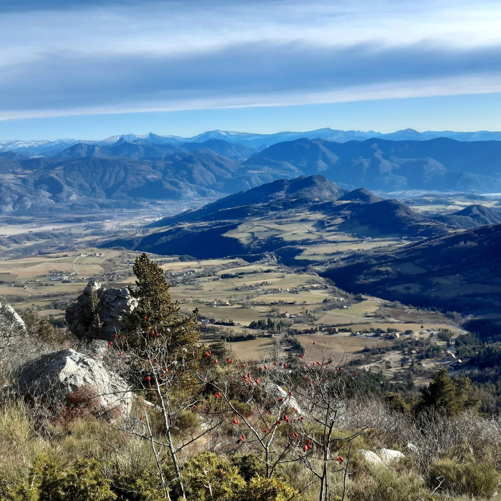
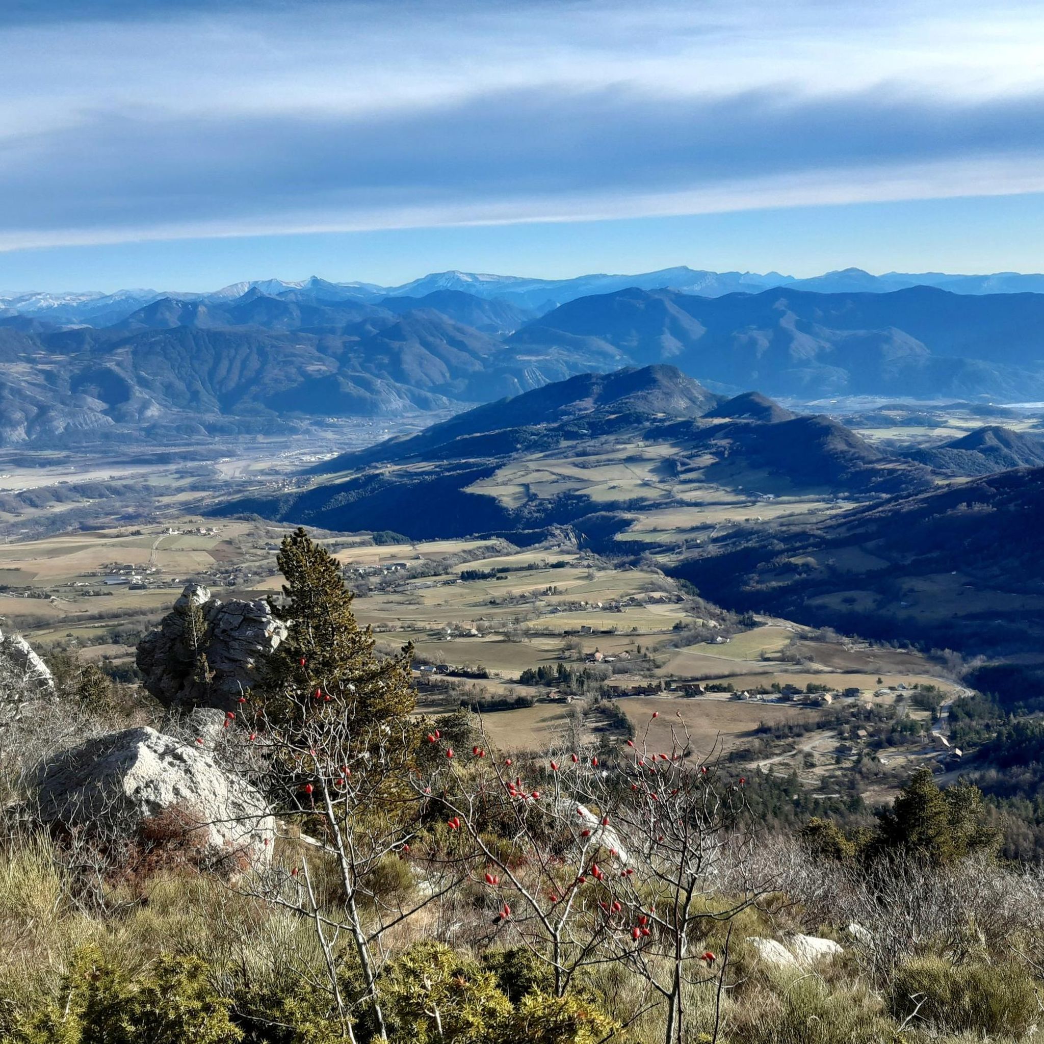
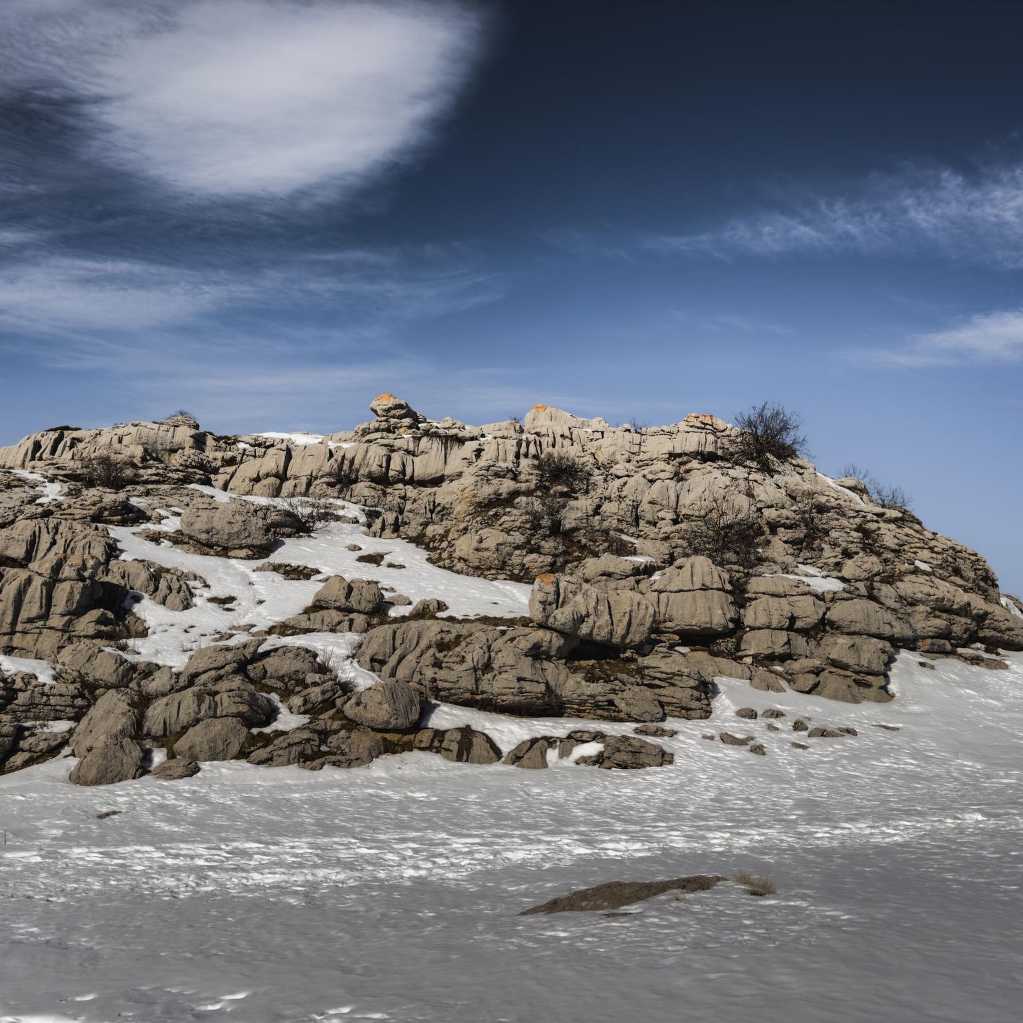
The region offers several distinctive passes. For instance, Espréaux Pass is known for its geological phenomenon of marls, which create unique geometric shapes in the mountains, offering a superb panorama at 1160 meters above sea level. Another notable spot is Faye Pass, which features a scenic climb with gradients reaching close to 15%.
Are there challenging mountain passes for experienced cyclists or hikers near Sigoyer?
Yes, for those seeking a challenge, Faye Pass presents a demanding climb with sections up to a 15% gradient. Cyclists might also find Verniers Pass interesting, with an average gradient of 5.1% over 2.4 km and a maximum of 11%. For hikers, the Pas du Loup near Pic de Céüse offers an equipped passage with ropes and even Grade III climbing sections, making it a technical and aerial route.
What kind of natural features can I expect to see on mountain passes around Sigoyer?
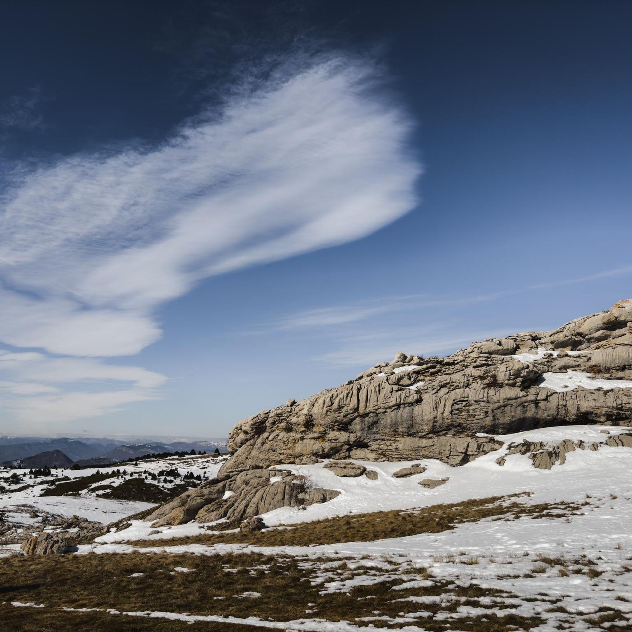
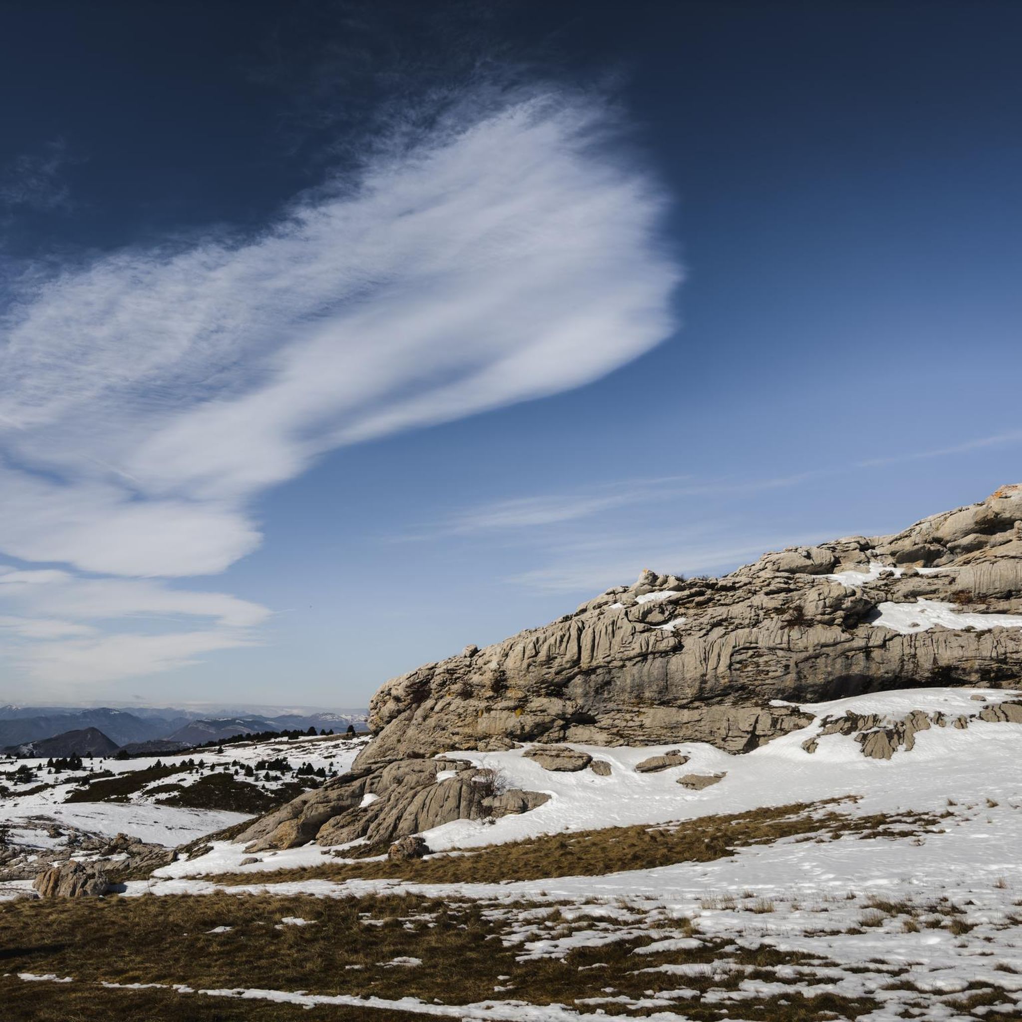
The mountain passes in the Sigoyer region are characterized by stunning natural beauty. At Espréaux Pass, you can observe the unique geological formations called 'marls'. The area around the Montagne de Céüse, including the Pas du Loup, provides panoramic views of the Dévoluy region and the town of Gap, alongside famous climbing cliffs made of high-quality French limestone. The region also features a diverse landscape ranging from 639 to 2,000 meters in elevation.
What is the best time of year to visit the mountain passes and trails around Sigoyer?
The mild climate of the Gapençais region generally supports outdoor activities for much of the year. For climbing and hiking, especially around Céüse and the Pas du Loup, the best time to visit is typically from April to August, as perfect climbing conditions can be found even during summer heatwaves.
Are there any facilities or starting points for hikes near the mountain passes?
Yes, the Col des Guérins serves as a convenient starting point for various hikes, including routes leading to the Pic de Céüse. It's easily accessible by road and offers parking. Additionally, at the Col des Guérins, you'll find facilities such as a place to fill up with water, toilets, and even a small bar-restaurant, making it a well-equipped base for your adventures.
What outdoor activities can I do near these mountain passes?
Beyond exploring the passes themselves, the Sigoyer region is excellent for various outdoor activities. You can find numerous routes for cycling, mountain biking, and hiking. For detailed cycling routes, check out the Cycling around Sigoyer guide. If you're interested in hiking, there are dedicated guides for Mountain Hikes around Sigoyer and general Hiking around Sigoyer, featuring routes like the Pic de Céüse loop or the Guérins Pass loop.
Are there any family-friendly hiking options or easy trails near the mountain passes?
While some routes are challenging, the broader Sigoyer area offers trails suitable for various skill levels. For easier hikes, you might find options within the Hiking around Sigoyer guide, such as the Tallard Castle loop from Tallard, which is rated as easy. The region's diverse landscape means there are paths that cater to different preferences, from gentle strolls to more strenuous climbs.
What makes the Balcony Trail from Col des Guérins worth visiting?
The Balcony Trail from Col des Guérins offers fantastic, 'Dantesque' views. It's an intermediate trail with easily passable tracks, and at the Col des Guérins itself, you'll find convenient facilities like water, toilets, and even a small bar-restaurant, making it a great starting point for a scenic adventure.
Can I find any hidden gem hikes or less-known trails in the Sigoyer area?
The region around Sigoyer, particularly the Montagne de Céüse, is known for its preserved natural landscapes. While the Pas du Loup is a more technical route, many trails offer a tranquil setting away from bustling tourist routes. Exploring the various hiking guides for the area, such as Hiking around Sigoyer, can lead you to less-traveled paths that showcase the region's serene beauty.
What is the Massif de Céüse known for, and how accessible is it?
The Massif de Céüse is globally recognized for its exceptional climbing cliffs, featuring high-quality French limestone. It also offers challenging climbs for cyclists, such as the route from Manteyer to Céüse Station, which is 6.6 km long with an average gradient of 8.5% and maximum gradients of 10%. The views from the top are described as very beautiful, rewarding the effort of the ascent.
Are there any specific geological points of interest near the mountain passes?
Yes, Espréaux Pass is particularly notable for its geological features. Here, you can observe 'marls,' a type of rock with a specific limestone content that crumbles easily, giving the mountains their distinctive geometric shapes. This phenomenon creates a truly unique landscape for visitors.
Most popular routes around Sigoyer
Most popular attractions around Sigoyer

Get inspired with the komoot mobile app


Explore more
See even more epic mountain passes by checking out these guides around Sigoyer:
