The best walks and hikes around Lavaldens
4.5
(1409)
12,716
hikers
11
hikes
Hiking around Lavaldens offers access to diverse mountainous terrain within the French Alps. The region features prominent peaks, high mountain passes, and the unique Coiro cirque, providing varied elevation changes for hikers. Valleys, plateaus, and picturesque lakes like Rif-Bruyant and Poursollet Lake are also characteristic of the landscape. Trails often follow waterways such as the Rif Bruyant, winding through rural areas and mountain villages.
Best hiking trails around Lavaldens
- The most popular hiking route is Lake Rif-Bruyant – Le Rivobruenti…
Last updated: July 1, 2026
4.9
(8)
103
hikers
14.1km
06:40
1,020m
1,020m
Hard hike. Very good fitness required. Sure-footedness, sturdy shoes and alpine experience required.
5.0
(2)
21
hikers
10.9km
04:30
570m
570m
Moderate hike. Good fitness required. Mostly accessible paths. Sure-footedness required.

Sign up for free
5.0
(2)
21
hikers
7.03km
03:13
440m
440m
Moderate hike. Good fitness required. Mostly accessible paths. Sure-footedness required.
5.0
(1)
18
hikers
3.54km
01:23
190m
190m
Hard hike. Great for any fitness level. Sure-footedness, sturdy shoes and alpine experience required.
5.0
(1)
8
hikers
5.03km
01:36
140m
140m
Moderate hike. Great for any fitness level. Mostly accessible paths. Sure-footedness required.
Get access to more routes and recommendations from other explorers.
Sign up for free
Already have an account?
Our route recommendations are based on thousands of hikes, rides, and runs completed by other people on komoot.
Start today with a free account
Your next adventure awaits.
Login or Signup
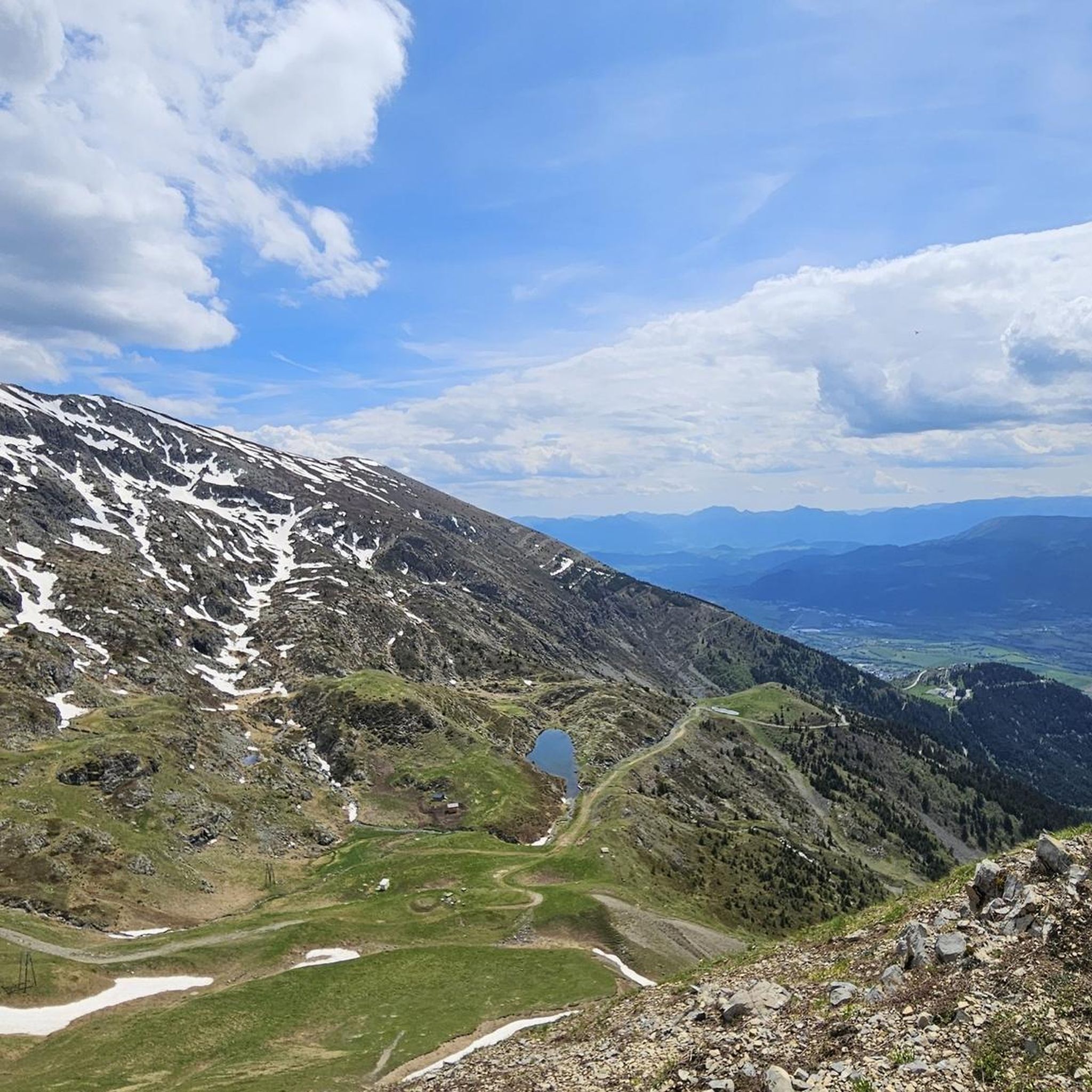
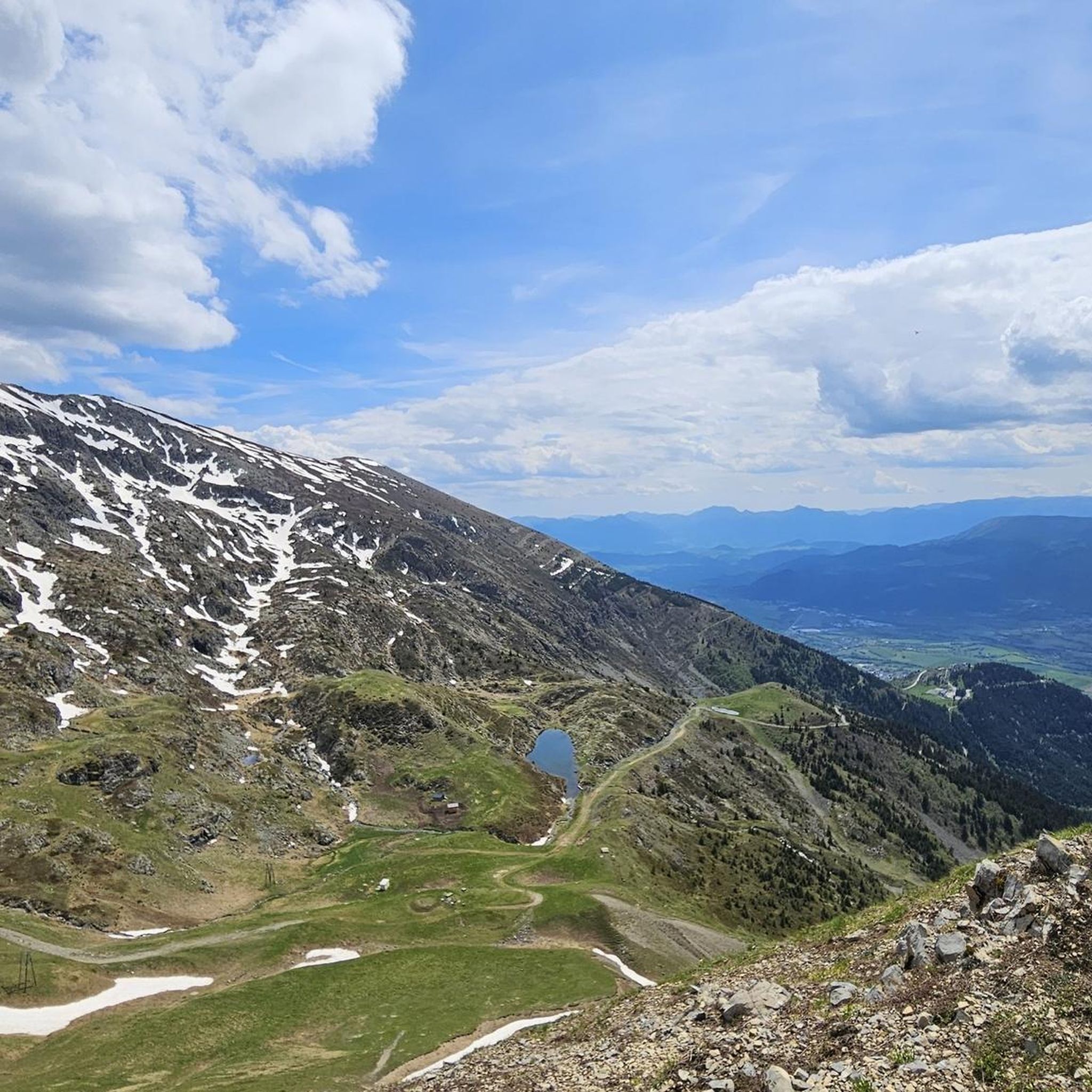
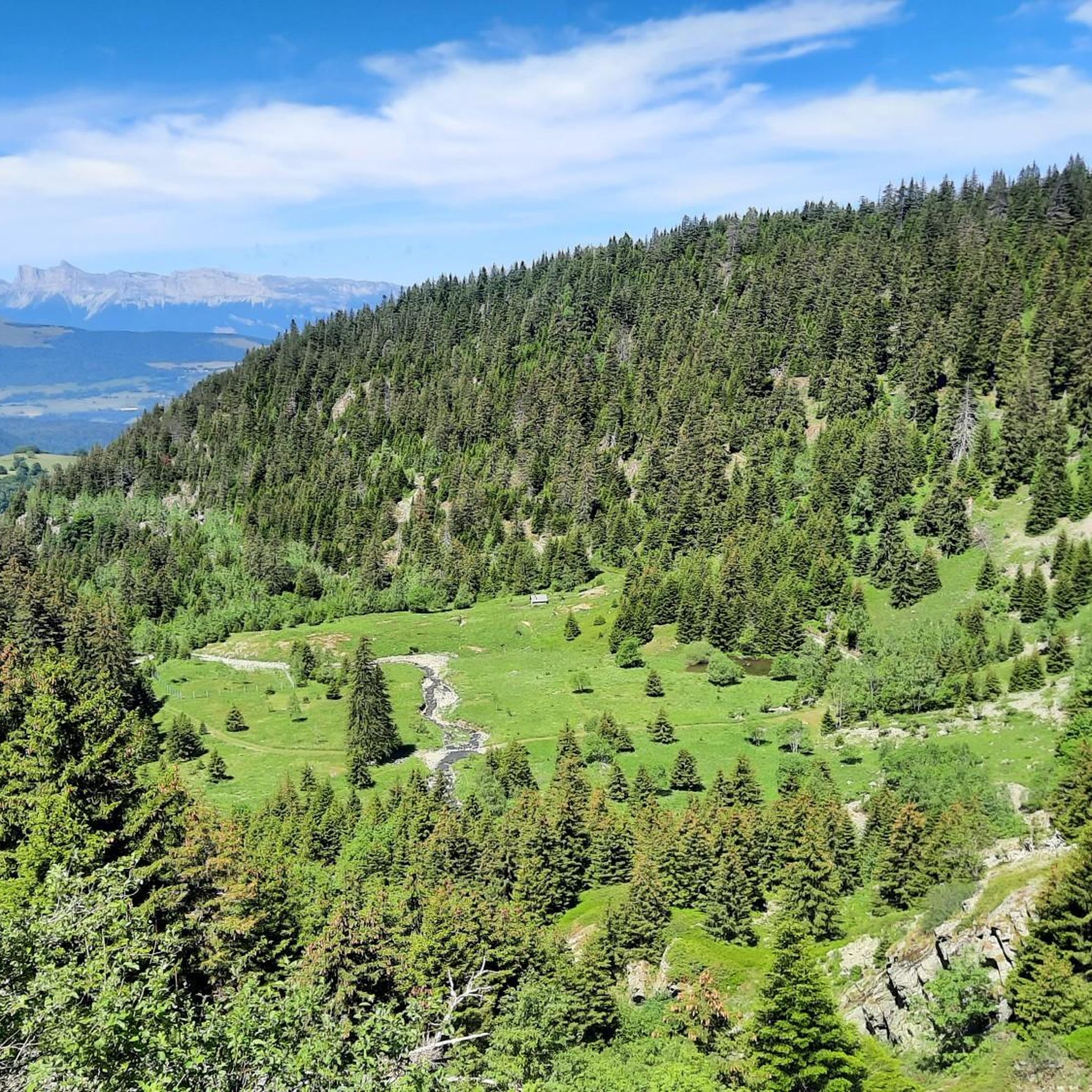
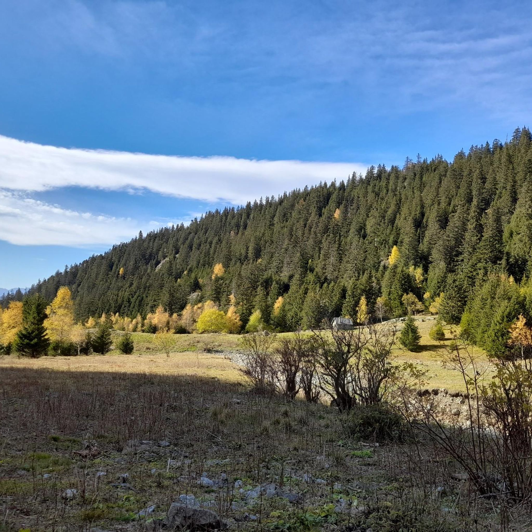


Tips from the Community

Beautiful high altitude lake.
0
0
Frequently Asked Questions
How many hiking trails are there in Lavaldens?
Lavaldens offers a selection of over 10 hiking trails, catering to various skill levels. These routes are highly rated by the komoot community, with an average score of 4.5 stars.
What types of terrain can I expect on hikes in Lavaldens?
Hiking in Lavaldens provides a diverse experience, ranging from mountainous terrain with prominent peaks like Taillefer and Tabor, to the unique Coiro cirque. Trails often wind through rural valleys, charming mountain villages, and high plateaus. You'll also encounter picturesque lakes such as Lake Rif-Bruyant and Poursollet Lake, and follow waterways like the Rif Bruyant, offering shaded paths.
Are there any easy hikes suitable for beginners or families in Lavaldens?
While many trails in Lavaldens are moderate to difficult, there are options that are more accessible. Generally, easy hikes in the region are up to 2 hours long with up to 1,000 feet of elevation gain, featuring easily accessible paths. For a moderate option that might suit active families, consider the Hiking loop from Parking de Vaunoire, which is 4.4 miles and takes about 3 hours 12 minutes.
Are there any trails with waterfalls in Lavaldens?
Yes, Lavaldens is known for its numerous waterfalls. The Beautiful Waterfall loop from Combe des Mortes is a moderate 6.7-mile trail specifically highlighted for its scenic waterfalls and varied forest terrain, providing refreshing stops and beautiful vistas.
What are some notable natural landmarks or viewpoints to see while hiking in Lavaldens?
The region offers breathtaking views of prominent peaks like Taillefer and Tabor, and the Coiro cirque. You can also explore picturesque lakes such as Lake Rif-Bruyant and Poursollet Lake. For specific viewpoints, consider routes that offer panoramic vistas of the mountainous landscape. Highlights in the broader area include Steven Rooks corner and Pas de la Confession (Altitude 1542 m).
Are there any circular hiking routes in Lavaldens?
Yes, many trails in Lavaldens are designed as loops, allowing you to start and end at the same point. Examples include the Lake Rif-Bruyant – Le Rivobruenti Refuge loop from Le Mollard, the Beautiful Waterfall loop from Combe des Mortes, and the Hiking loop from Parking de Vaunoire.
What is the best time of year to go hiking in Lavaldens?
The French Alps, where Lavaldens is located, are generally best for hiking from late spring through early autumn (May to October). During these months, the weather is typically milder, and trails are more accessible. Summer offers lush landscapes and warmer temperatures, while autumn brings stunning fall foliage. Always check local weather conditions before heading out, especially for higher altitude routes.
Are there multi-day hiking opportunities in Lavaldens?
Yes, for experienced hikers seeking an extensive adventure, the 'Tour du Taillefer' offers a multi-day Alpine trail experience. This trek winds through diverse landscapes over four or even seven days, providing an immersive journey through valleys, villages, and high plateaux in the region.
What do other hikers enjoy most about hiking in Lavaldens?
The area is highly rated by the komoot community, with an average score of 4.5 stars from over 1300 reviews. Hikers often praise the diverse mountainous terrain, the breathtaking views of prominent peaks, and the serene beauty of lakes like Rif-Bruyant. The variety of trails, from moderate paths to challenging routes, is also frequently appreciated.
Is there parking available at the trailheads in Lavaldens?
Yes, many popular trailheads in Lavaldens, such as the starting point for the Hiking loop from Parking de Vaunoire, offer designated parking areas. It's advisable to check specific route details for parking information before your hike, especially during peak seasons.
Are there any challenging hikes for experienced trekkers in Lavaldens?
Absolutely. Lavaldens offers several difficult routes for experienced hikers. These trails often exceed 5 hours or 3,000 feet of elevation gain, demanding very good fitness and alpine experience. Examples include the Lake Rif-Bruyant – Le Rivobruenti Refuge loop from Le Mollard and the Le Rivobruenti Refuge – Le Quaro loop from Le Mollard.
Most popular routes around Lavaldens
Most popular attractions around Lavaldens

Get inspired with the komoot mobile app


Explore more
Browse the best Hikes in other regions.
