The best road cycling routes around Vic-La-Gardiole
4.3
(671)
13,128
riders
11
rides
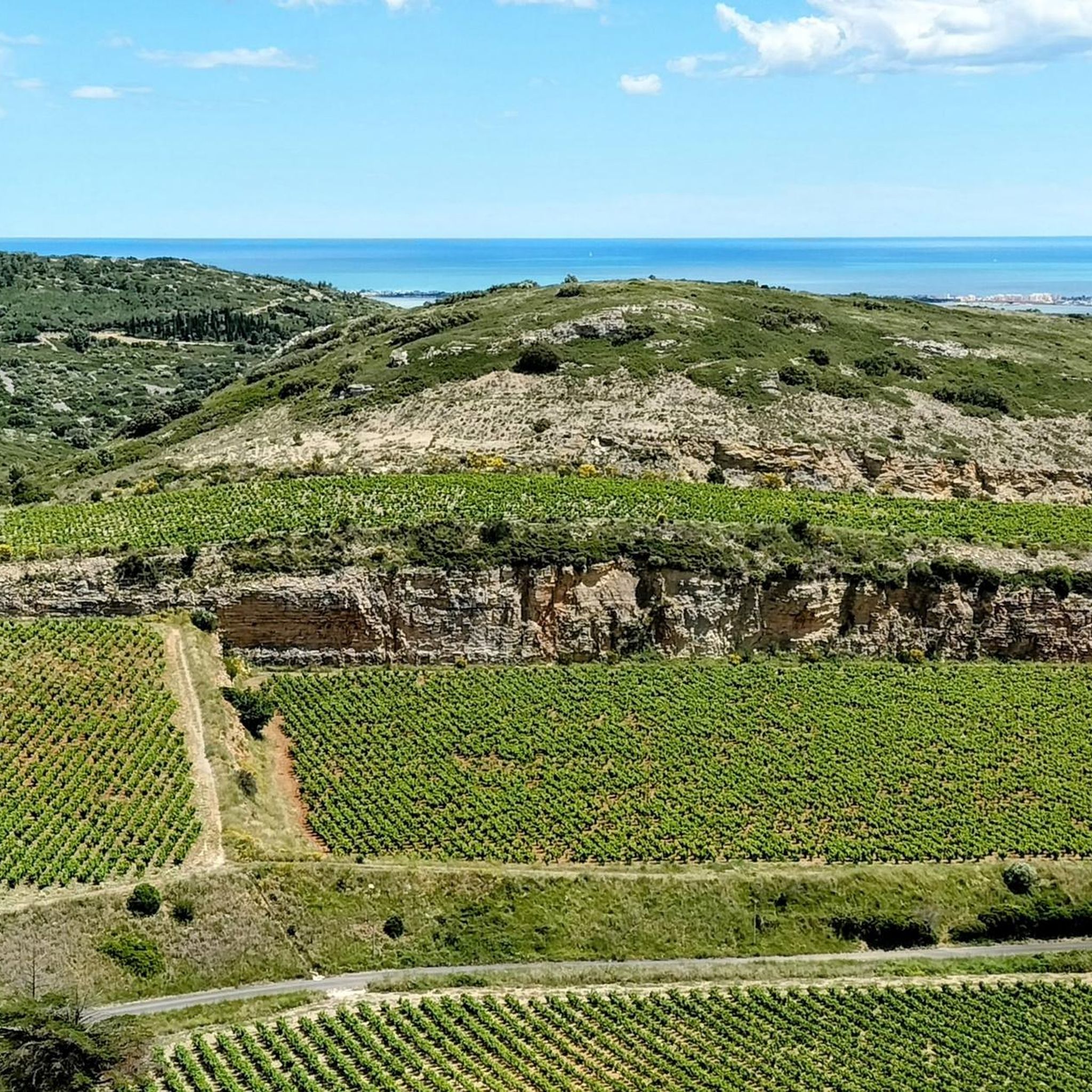
Road cycling routes around Vic-La-Gardiole traverse a diverse landscape in the Hérault department of France. The region features a blend of coastal plains, extensive marshlands like the Étang de Vic and Étang d'Ingril, and the low-lying Massif de La Gardiole. Cyclists encounter varied terrain, from flat routes along the ponds to gentle ascents within the garrigue and pine woods of the Massif. This area offers a network of paved surfaces suitable for road cycling, connecting natural features and coastal stretches.
…Last updated: October 14, 2026
3.8
(6)
104
riders
55.6km
02:22
140m
140m
Moderate road ride. Good fitness required. Some segments of this route may be unpaved and difficult to ride.
4.5
(17)
83
riders
46.2km
01:49
110m
110m
Easy road ride. Great for any fitness level. Mostly well-paved surfaces and easy to ride.

3.0
(1)
39
riders
59.9km
02:36
340m
340m
Moderate road ride. Good fitness required. Some segments of this route may be unpaved and difficult to ride.
5.0
(1)
28
riders
Moderate road ride. Good fitness required. Some segments of this route may be unpaved and difficult to ride.
9
riders
116km
04:53
830m
830m
Moderate road ride. Good fitness required. Mostly well-paved surfaces and easy to ride.
Get access to more routes and recommendations from other explorers.
Already have an account?
Our route recommendations are based on thousands of hikes, rides, and runs completed by other people on komoot.
Start today with a free account
Your next adventure awaits.
Other adventures around Vic-La-Gardiole

Tips from the Community

From the greenway, your gaze plunges onto the Thau pond and its immense checkerboard of shellfish farming tables. These regular alignments are the farming facilities where the lagoon's oysters and mussels are produced. Bouzigues holds a special place in this story: in 1925, Antoine Louis Tudesq and other Bouzigues oyster farmers developed the "Pyramid" technique, which contributed to the development of shellfish farming in the pond.
2
0
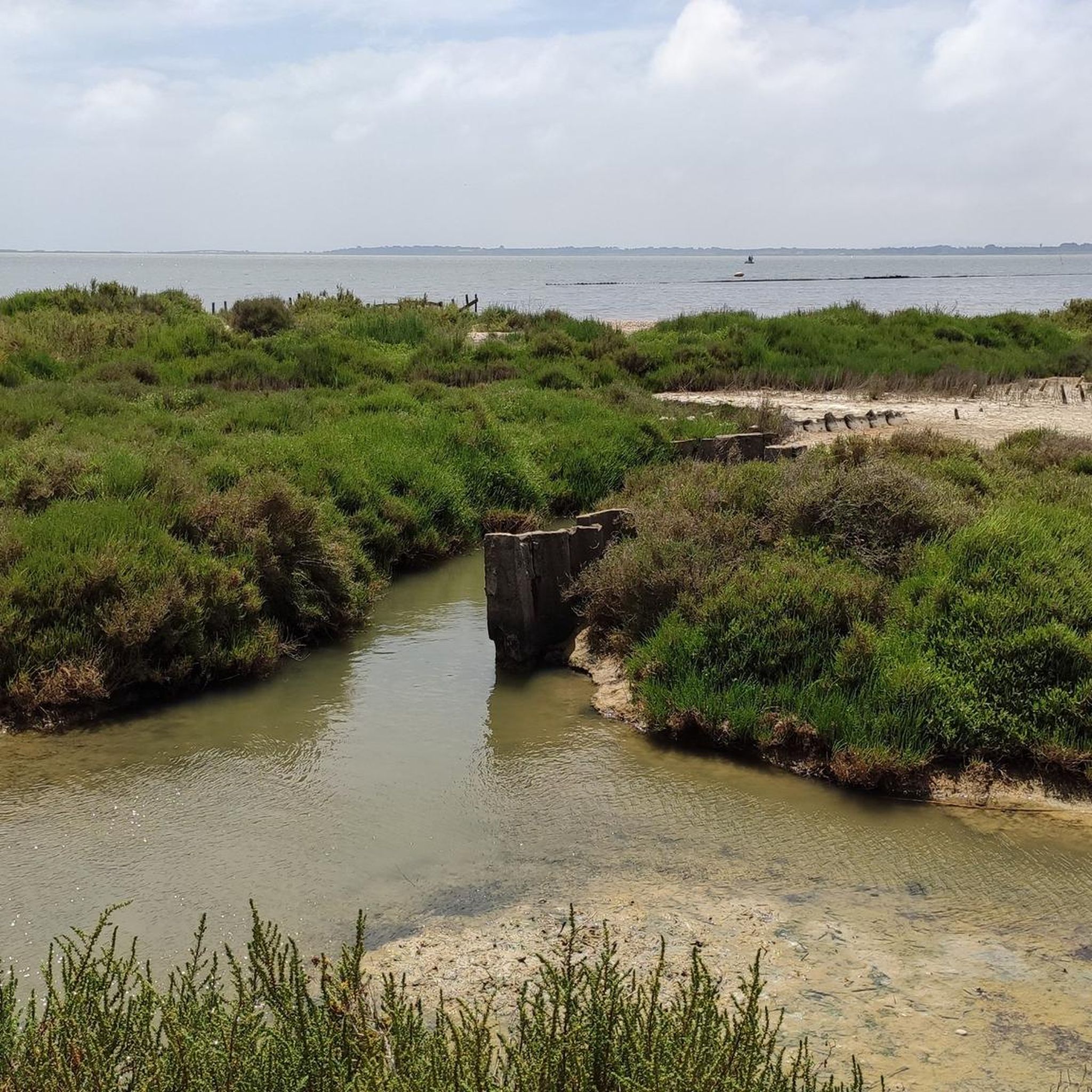
The greenway runs here on a narrow strip of land between the Étang de la Moulière to the north and the Crique de l’Angle to the south. The latter is a natural cove located at the eastern end of the Étang de Thau, where the fresh waters of the Vène meet the brackish waters of the lagoon. This wetland, classified Natura 2000, hosts numerous water birds in particular.
2
0
From La Catonnière, the view plunges over the étang de Thau and its immense checkerboard of shellfish tables. These regular alignments are the breeding facilities where the lagoon's oysters and mussels are produced. Bouzigues holds a special place in this history: in 1925, Antoine Louis Tudesq and other Bouzigues oyster farmers developed the "Pyramid" technique, which contributed to the development of shellfish farming in the étang. The panorama thus allows us to read the landscape differently: behind this vast expanse of water lies a true production space, shaped for over a century by the work of the "sea peasants".
2
0
The greenway runs here on a narrow strip of land between the Étang de la Moulière and the Crique de l’Angle. To the south, the view opens up beyond the Crique de l’Angle over the Étang de Thau, then over Sète, dominated by the silhouette of Mont Saint-Clair (183 m).
2
0
Between the ponds of Vic and Ingril, the Bois des Aresquiers forms an astonishing coastal pine forest of nearly 97 hectares. Its peculiarity lies in the immediate proximity between the forest and the lagoon environments: the pine forest succeeds the sansouires and salt marshes before reaching the banks of the ponds. Protected by the Conservatoire du littoral since 1980, the site also has an agricultural history. After belonging to a religious community, the estate was exploited for various agricultural activities, then for vines until the 1970s. Pine plantations and a period of non-management then contributed to forming the current woodland. This history has not prevented a remarkable plant diversity: about fifteen rare or threatened species have been recorded there, including Bupleurum glauccum, a protected species discovered on the site, and Ophrys cumbulifera, an endemic Mediterranean orchid.
3
0
Going up Grand Rue towards the church of Sainte-Léocadie, several old houses bear witness to the traditional architecture of old Vic. Stone surrounds, cornices, openings, and facade details make up old buildings that still contribute to the identity of the village center. The municipality ensures the preservation of the style of these facades.
2
0
The view extends over the étang de l'Armel to the southwest and the étang du Méjean to the northeast. Here too, the Lez river crosses the Canal du Rhône à Sète in the heart of the Palavasian lagoon system. This place called "Quatre Canaux" is not just a hydraulic crossroads: the area constitutes one of the historical cradles of Palavas, where fishing families had settled on the banks of the Lez and the étangs.
2
0

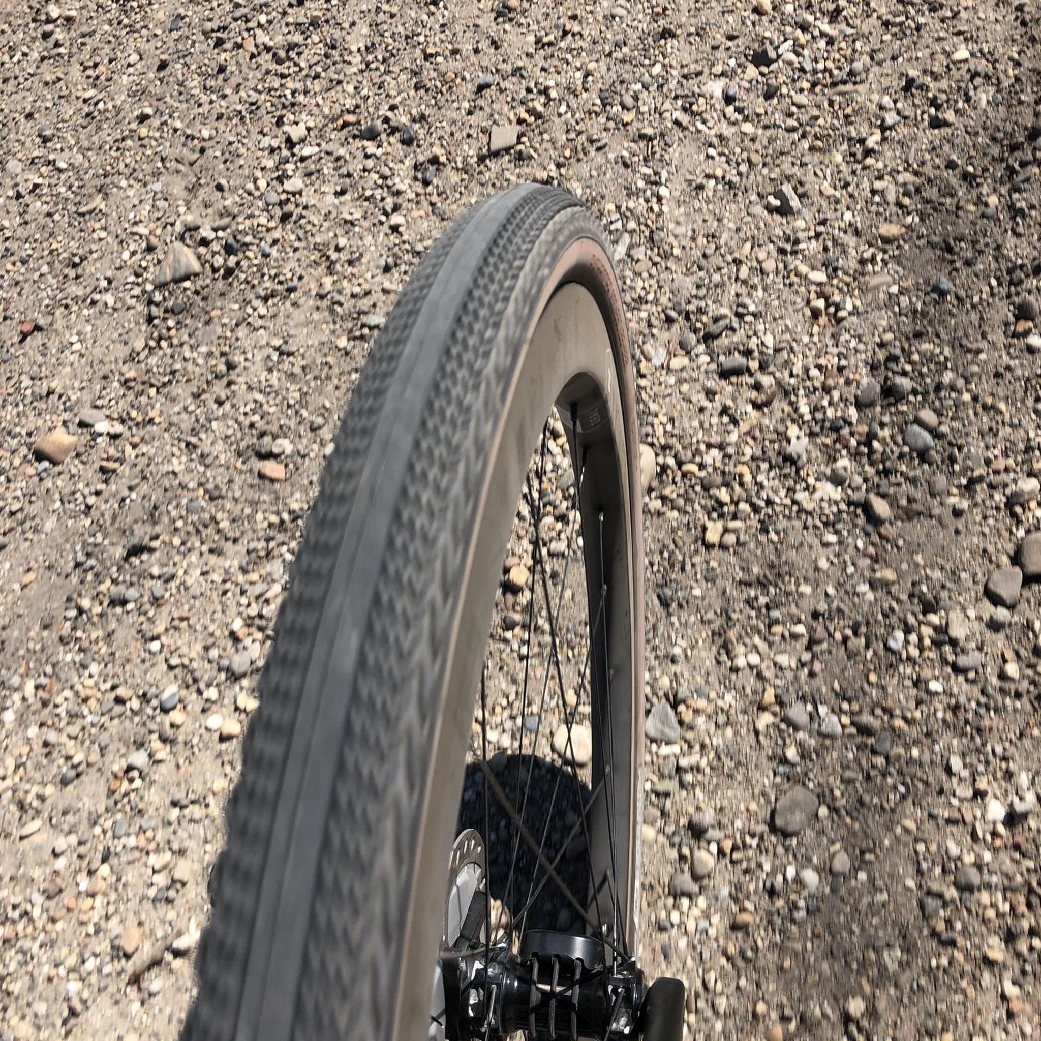
A VTC, Gravel classic of the region
0
0
Frequently Asked Questions
How many road cycling routes are available in Vic-La-Gardiole?
There are over 130 road cycling routes around Vic-La-Gardiole, offering a wide variety of options for different skill levels and preferences. You'll find everything from easy loops to more challenging rides.
Are there easy road cycling routes suitable for beginners in Vic-La-Gardiole?
Yes, Vic-La-Gardiole offers a good selection of easy road cycling routes, with over 30 options designed for less experienced riders or those seeking a relaxed pace. Many of these routes feature minimal elevation gain and mostly paved surfaces, such as the Vic Pond – Aresquiers Wood loop from Frontignan.
What kind of scenery can I expect on road cycling routes in Vic-La-Gardiole?
Road cycling in Vic-La-Gardiole offers incredibly diverse scenery. You can expect coastal paths, extensive marshland vistas around the Étang de Vic and Étang d'Ingril, routes through Mediterranean scrubland (garrigue), and shaded pine woods like the Bois des Aresquiers. The low-lying Massif de La Gardiole also provides a scenic backdrop with some elevation.
Are there advanced road cycling challenges in Vic-La-Gardiole?
For experienced road cyclists seeking a challenge, there are 25 difficult routes available. These often include more significant elevation gains, particularly within the Massif de La Gardiole, and can cover longer distances. An example of a more demanding ride is the Moulière Crossing – The land of oyster beds loop from Frontignan, which features substantial climbing.
Can I find circular road cycling routes in Vic-La-Gardiole?
Yes, many of the road cycling routes in Vic-La-Gardiole are designed as circular loops, allowing you to start and finish at the same point. This includes popular options like the Tour of the Gardiole, which circuits the Massif de La Gardiole, offering varied scenery.
What interesting places can I explore near the road cycling routes?
Along and near the road cycling routes, you can explore various natural and historical attractions. Highlights include the Salines de Villeneuve Nature Reserve, the Salins de Frontignan, and the View of the Étangs and Coastline from La Gardiole. You can also discover the historic Abbaye Saint Félix de Montceau.
Is it possible to spot wildlife while road cycling in Vic-La-Gardiole?
Absolutely! The extensive wetlands and ponds, such as the Étang de Vic and Étang d'Ingril, are renowned for their diverse birdlife. Cyclists often spot pink flamingos, herons, warblers, and egrets, especially when riding along routes that wind through these marshland areas.
What do other road cyclists enjoy most about road cycling in Vic-La-Gardiole?
The area is highly rated by the komoot community, with an average score of 4.2 stars from over 500 reviews. Reviewers often praise the diverse landscapes, from coastal views and marshland vistas to routes through Mediterranean scrubland and pine woods. The variety of routes catering to different ability levels is also frequently highlighted.
What is the best time of year for road cycling in Vic-La-Gardiole?
The Mediterranean climate makes Vic-La-Gardiole suitable for road cycling for much of the year. Spring and autumn generally offer the most pleasant temperatures, with less heat than summer and fewer crowds. Winter can also be an option, though some days may be cooler or windier.
Are there road cycling routes that offer coastal views?
Yes, many routes in the region incorporate stunning coastal views. The area is situated on the Mediterranean coast, and routes like Beach View – The land of oyster beds loop from Frontignan specifically highlight the coastal experience, often passing through areas known for oyster farming and offering glimpses of Les Aresquiers Beach.
Can I access road cycling routes in Vic-La-Gardiole using public transport?
While specific public transport links directly to route starting points are not detailed in the route data, Vic-La-Gardiole is a well-connected commune in the Hérault department. For detailed information on local public transport options and schedules that might connect to cycling routes, it's advisable to consult local transport authority websites or tourist information resources like Frontignan Tourisme.
Where can I find parking for road cycling routes in Vic-La-Gardiole?
Parking availability can vary depending on the specific starting point of your chosen route. Many towns and villages in the region, including Vic-La-Gardiole and nearby Frontignan, offer public parking facilities. For more localized information on parking, checking maps of the specific starting location or local tourist information websites is recommended.
Most popular routes around Vic-La-Gardiole
Most popular attractions around Vic-La-Gardiole

Get inspired with the komoot mobile app


Explore more
Browse the best Road cycling routes in other regions.
