The best walks and hikes around Vic-La-Gardiole
4.5
(767)
5,080
hikers
39
hikes
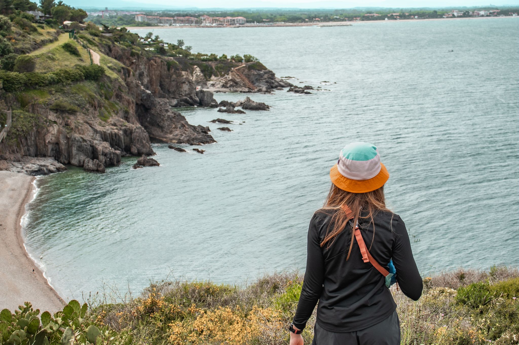
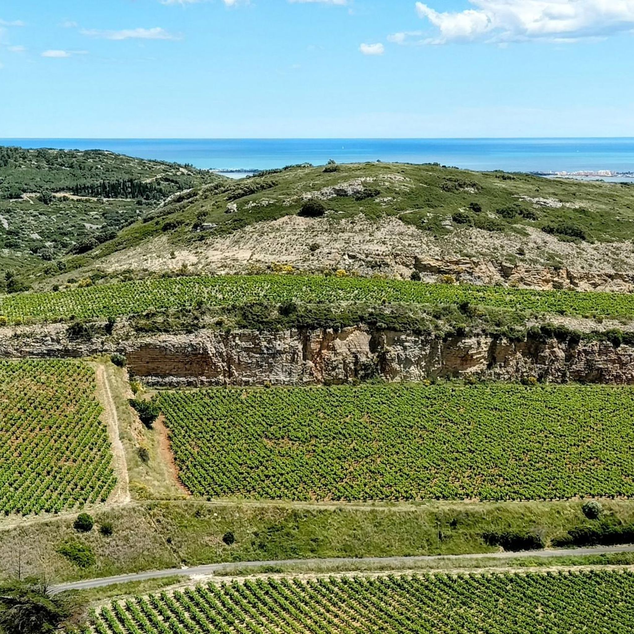
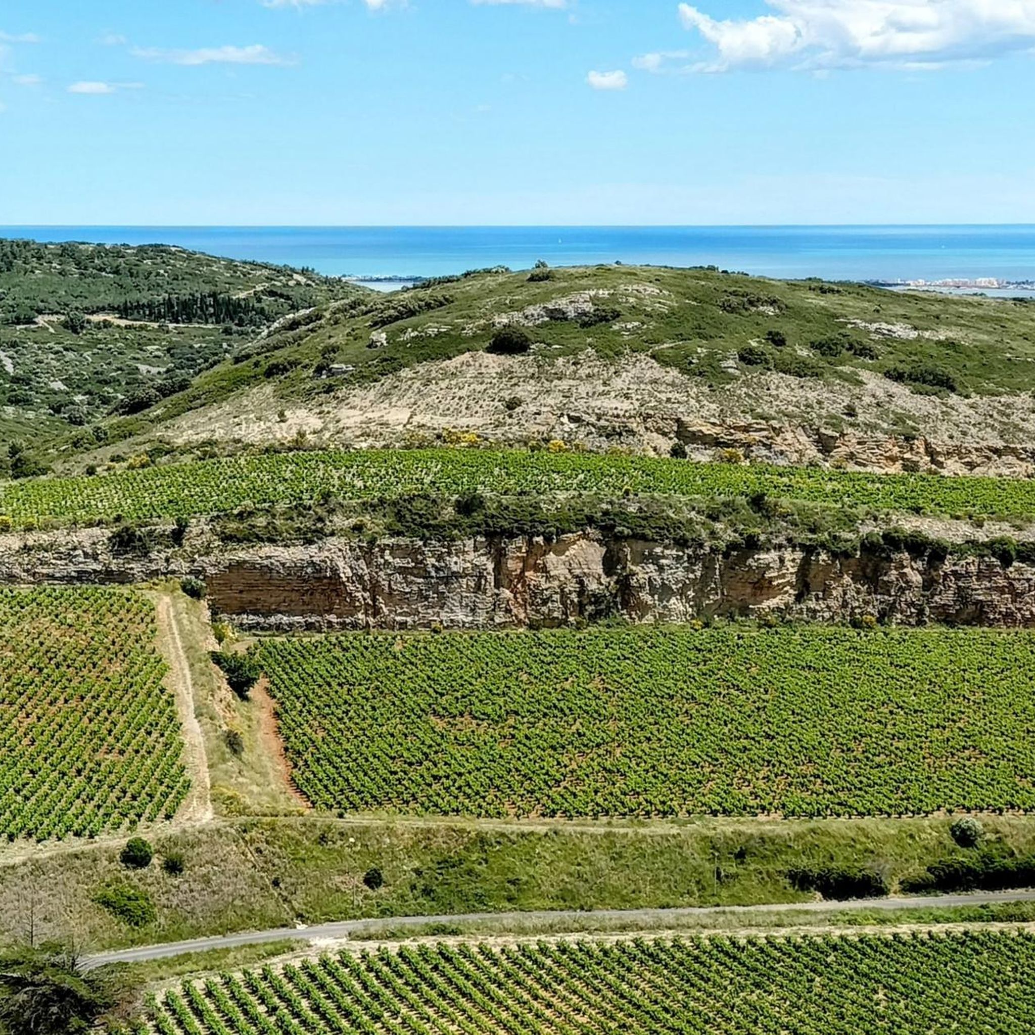
Hiking around Vic-La-Gardiole offers diverse natural landscapes, from the elevated Massif de la Gardiole to coastal wetlands and salt pans. The region features scrubland and pine woods, with hills like Pioch Noir (216 m) providing panoramic views. Coastal areas such as Les Aresquiers include pine forests, lagoons, and ancient salt pans, alongside the Étang de Vic with its marshes and reed beds. This varied topography supports a rich biodiversity, making it suitable for different types of outdoor exploration.
Best hiking…
Last updated: October 10, 2026
4.6
(67)
444
hikers
9.73km
02:28
20m
20m
Hike the Les Aresquiers Trail, a moderate 6.0-mile route through pine forests, lagoons, and salt pans, perfect for birdwatching.
4.6
(68)
446
hikers
9.75km
02:27
10m
10m
Moderate hike. Good fitness required. Easily-accessible paths. Suitable for all skill levels.

4.6
(43)
314
hikers
Easy hike. Great for any fitness level. Easily-accessible paths. Suitable for all skill levels.
4.8
(18)
91
hikers
16.9km
04:18
40m
40m
Moderate hike. Good fitness required. Easily-accessible paths. Suitable for all skill levels.
4.7
(14)
111
hikers
10.5km
02:39
20m
10m
Moderate hike. Good fitness required. Easily-accessible paths. Suitable for all skill levels.
Get access to more routes and recommendations from other explorers.
Already have an account?
Our route recommendations are based on thousands of hikes, rides, and runs completed by other people on komoot.
Start today with a free account
Your next adventure awaits.
Other adventures around Vic-La-Gardiole

Tips from the Community

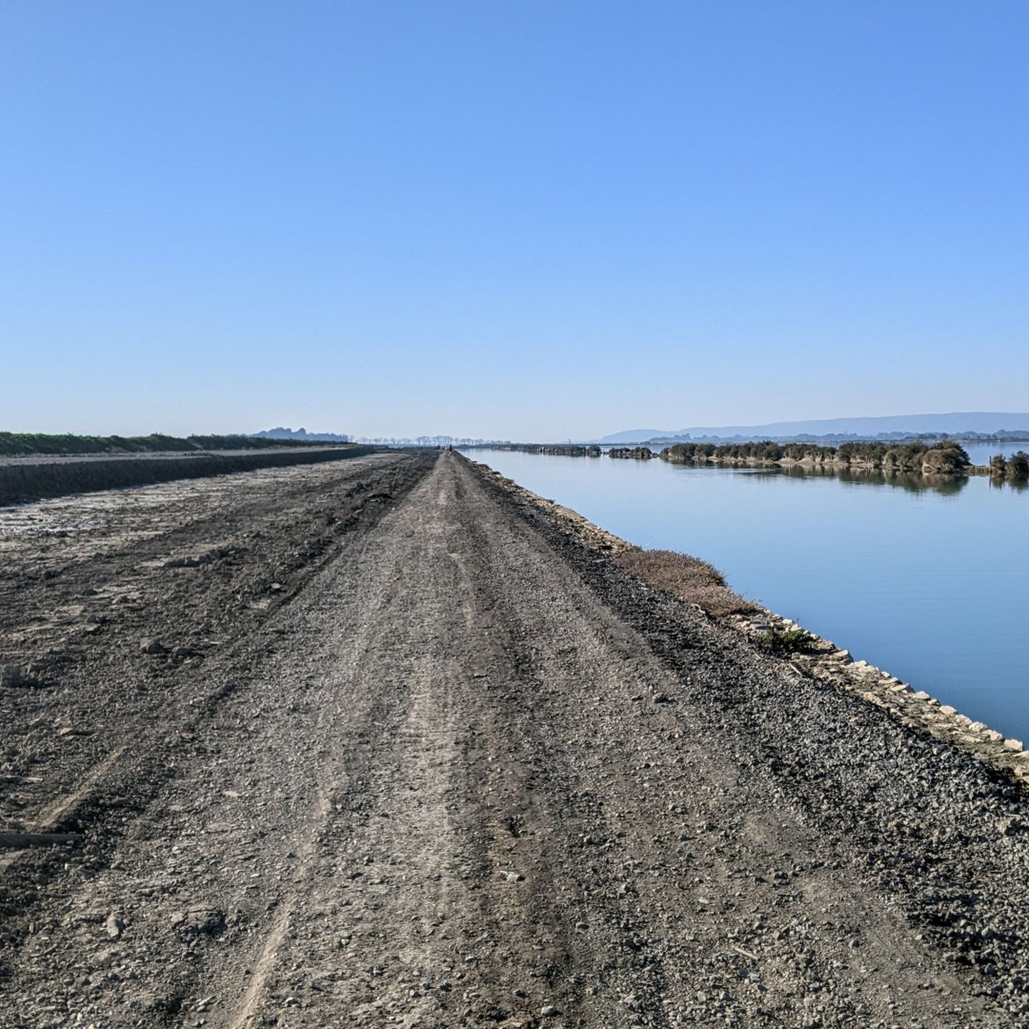
From Frontignan to Palavas-les-Flots, the route follows the Canal du Rhône à Sète through one of the major lagoon areas of the Languedoc coast. After the Étang d'Ingril and the Aresquiers, the canal successively crosses or runs alongside the Étangs de Vic and de Pierre-Blanche, then passes between those of Arnel and Prévost before reaching Palavas. The canal itself is a major historical element of this landscape. Its construction began in 1701 under the name Canal des Étangs, to ensure continuity between the Royal Canal of Languedoc — today the Canal du Midi — and the Rhône. The route, completed in 1829, passes through Frontignan, Maguelone, and Palavas before reaching Aigues-Mortes and then Beaucaire. In Frontignan, its opening in the 18th century profoundly modified the landscape: the canal notably separated the former Étang de Frontignan into two parts, giving rise to the Étang d'Ingril and that of La Peyrade.
2
0
This wooden footbridge or "Passerelle d'Ingril" allows you to cross part of the wetlands bordering the étang d'Ingril. The trail rises slightly above the marshy ground, offering direct contact with the different coastal environments of Aresquiers: lagoon, marsh, sansouïre, and pine forest. This landscape is closely linked to the history of the former salt pans of Frontignan, exploited for three centuries until 1968.
2
0
Here, there is no "Canal du Rhône à Sète". You are in the heart of the ancient Salins de Frontignan! Salt production, officially attested in Frontignan from 1334, continued until 1968. Salt was then a precious and highly regulated resource: an old customs post controlled its circulation here, and the collection of the gabelle, the salt tax, established in the 14th century, was abolished in 1946.
3
0
This wooden footbridge or "Passerelle d'Ingril" allows you to cross part of the wetlands bordering the Étang d’Ingril. The trail rises slightly above the marshy ground, offering direct contact with the different coastal environments of Les Aresquiers: lagoon, marsh, sansouïre, and pine forest. This landscape is closely linked to the history of the old salt pans of Frontignan, exploited for three centuries until 1968.
2
0
This wooden footbridge or "Passerelle d'Ingril" allows you to cross a part of the wetlands bordering the Étang d'Ingril. The path rises slightly above the marshy ground, offering direct contact with the different coastal environments of Aresquiers: lagoon, marsh, sansouïre, and pine forest. This landscape is closely linked to the history of the old salt pans of Frontignan, exploited for three centuries until 1968.
2
0
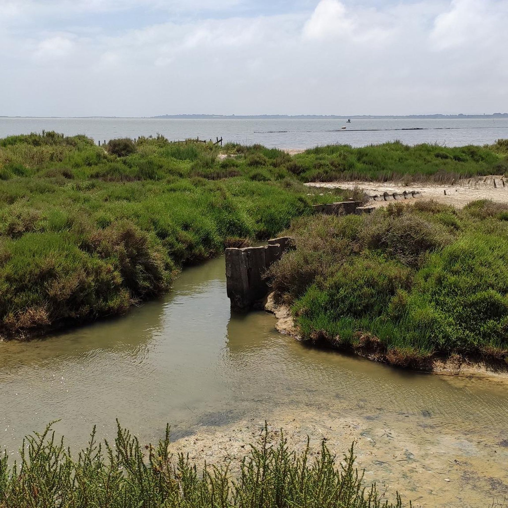
The Étang d'Ingril belongs to the vast complex of coastal lagoons of Frontignan. Between the Bois des Aresquiers, the old salt pans and the lido that separates it from the Mediterranean, it forms a landscape where lagoon environments, sansouïres (salt marshes) and pine forests mingle. This protected natural area hosts a rich diversity of birds and plants adapted to salty environments. In summer, the pond can also experience episodes of "malaïgue", a natural phenomenon linked to the proliferation of algae and heat, which can give the water a characteristic odor.
2
0
The étang d’Ingril is part of the vast complex of coastal lagoons of Frontignan. Between the Bois des Aresquiers, the old salt marshes and the lido that separates it from the Mediterranean, it forms a landscape where lagoon environments, sansouïres (salt marshes) and pine forests mingle. This protected natural area hosts an important diversity of birds and plants adapted to salty environments. In summer, the pond can also experience episodes of “malaïgue”, a natural phenomenon linked to the proliferation of algae and heat, which can give the water a characteristic odor.
3
0
Between the ponds of Vic and Ingril, the Bois des Aresquiers forms an astonishing coastal pine forest of nearly 97 hectares. Its peculiarity lies in the immediate proximity between the forest and the lagoon environments: the pine forest succeeds the sansouires and salt marshes before reaching the banks of the ponds. Protected by the Conservatoire du littoral since 1980, the site also has an agricultural history. After belonging to a religious community, the estate was exploited for various agricultural activities, then for vines until the 1970s. Pine plantations and a period of non-management then contributed to forming the current woodland. This history has not prevented a remarkable plant diversity: about fifteen rare or threatened species have been recorded there, including Bupleurum glauccum, a protected species discovered on the site, and Ophrys cumbulifera, an endemic Mediterranean orchid.
3
0
Frequently Asked Questions
How many hiking trails are there in Vic-La-Gardiole?
Vic-La-Gardiole offers a wide selection of hiking opportunities, with over 35 trails available. These range from easy walks to more challenging routes, ensuring there's something for every hiker.
Are there easy hiking trails suitable for beginners or families?
Yes, Vic-La-Gardiole has plenty of easy trails perfect for beginners and families. For instance, the Aresquiers Wood – Bois des Aresquiers loop from Vic-la-Gardiole is an easy 4.0-mile (6.5 km) path through a protected natural site, ideal for a gentle walk with minimal elevation change.
Can I bring my dog on the hiking trails in Vic-La-Gardiole?
Many trails in Vic-La-Gardiole are dog-friendly, especially those through the pine forests and along the lagoons. It's always recommended to keep your dog on a leash, particularly in protected areas like the Bois des Aresquiers, to protect local wildlife and ensure a pleasant experience for everyone.
Are there any circular hiking routes in the area?
Yes, circular routes are a popular feature in Vic-La-Gardiole. The Aresquiers Wood – Bois des Aresquiers loop from Vic-la-Gardiole and the Aresquiers Wood – Ingril Pond loop from Vic-la-Gardiole are excellent examples, allowing you to start and finish at the same point while exploring diverse landscapes.
What kind of natural landscapes can I expect to see while hiking?
You'll encounter a diverse range of landscapes, from the elevated scrubland and pine woods of the Massif de la Gardiole, offering panoramic views, to coastal wetlands, lagoons, and ancient salt pans around the Étang de Vic and Les Aresquiers. The region is rich in biodiversity, with opportunities for birdwatching.
Are there any historical sites or landmarks to discover along the trails?
Yes, you can combine your hike with cultural exploration. The ruins of the Abbaye Saint Félix de Montceau are a notable historical attraction in the Massif de la Gardiole, offering a glimpse into the region's past amidst natural beauty.
What are the best times of year to go hiking in Vic-La-Gardiole?
Spring and autumn are generally the best times for hiking in Vic-La-Gardiole. The weather is milder, and the natural scenery is vibrant. Summers can be hot, especially in the Massif de la Gardiole, so early mornings or late afternoons are preferable if hiking during this season. Winters are usually mild, making year-round hiking possible.
Is public transport available to reach the trailheads?
While specific public transport connections directly to all trailheads might be limited, Vic-la-Gardiole is accessible by local bus services from nearby towns. It's advisable to check local transport schedules in advance, especially if you plan to rely solely on public transport to reach your starting point.
Where can I find parking for hiking trails in Vic-La-Gardiole?
Many popular trailheads, especially around Les Aresquiers and the Bois des Aresquiers, offer designated parking areas. For example, the Ingril Pond – Aresquiers Wood loop starts from Parking des Aresquiers. Parking availability can vary, so it's good to check specific route details before you go.
Do I need any special permits to hike in the Massif de la Gardiole?
Generally, no special permits are required for hiking on established trails in the Massif de la Gardiole or other natural areas around Vic-La-Gardiole. However, always respect local regulations, especially concerning protected natural sites and fire risk warnings during dry periods.
What do other hikers say about the trails in Vic-La-Gardiole?
The trails in Vic-La-Gardiole are highly rated by the komoot community, with an average score of 4.4 stars from over 600 reviews. Hikers often praise the diverse scenery, the tranquility of the natural areas, and the opportunities for birdwatching, especially around the lagoons and ponds.
What kind of wildlife might I encounter?
The region is a haven for wildlife, particularly birds. You might spot pink flamingos, herons, and other avian species around the Étang de Vic and Les Aresquiers. The Bois des Aresquiers is also known for its diverse fauna, including Camargue horses, making it an excellent spot for nature observation.
Are there any longer hiking routes for experienced hikers?
Yes, for those seeking a longer challenge, routes like the Aresquiers Wood – Ingril Pond loop from Vic-la-Gardiole cover about 10.5 miles (16.9 km) and take around 4 hours 18 minutes. The Massif de la Gardiole also offers more moderate routes with greater elevation changes for experienced hikers.
Most popular routes around Vic-La-Gardiole
Most popular attractions around Vic-La-Gardiole

Get inspired with the komoot mobile app


Explore more
Browse the best Hikes in other regions.
