The best cycling routes around Le Glaizil
4.7
(90)
1,930
riders
104
rides
Touring cycling around Le Glaizil is situated in the Hautes-Alpes department, characterized by a convergence of valleys, forests, and peaks within the Champsaur valley. The region offers a network of roads suitable for diverse cycling experiences, from challenging mountain passes to scenic routes with varied gradients. Notable features include the Drac River and proximity to the Valgaudemar Valley, providing a backdrop of natural landscapes. Its location provides access to iconic cycling terrain within the French Alps.
Best touring cycling routes…
Last updated: July 1, 2026
4.7
(10)
190
riders
61.3km
04:25
1,340m
1,340m
Hard bike ride. Very good fitness required. Mostly paved surfaces. Suitable for all skill levels.
5.0
(3)
65
riders
49.5km
03:53
1,360m
1,370m
Hard bike ride. Very good fitness required. Mostly paved surfaces. Suitable for all skill levels.

Sign up for free
5.0
(2)
50
riders
34.3km
02:13
400m
400m
Moderate bike ride. Good fitness required. Mostly paved surfaces. Suitable for all skill levels.
5.0
(2)
50
riders
37.0km
03:04
1,160m
1,160m
Hard bike ride. Very good fitness required. Mostly paved surfaces. Suitable for all skill levels.
5.0
(3)
24
riders
Hard bike ride. Very good fitness required. Mostly paved surfaces. Suitable for all skill levels.
Get access to more routes and recommendations from other explorers.
Sign up for free
Already have an account?
Our route recommendations are based on thousands of hikes, rides, and runs completed by other people on komoot.
Start today with a free account
Your next adventure awaits.
Login or Signup
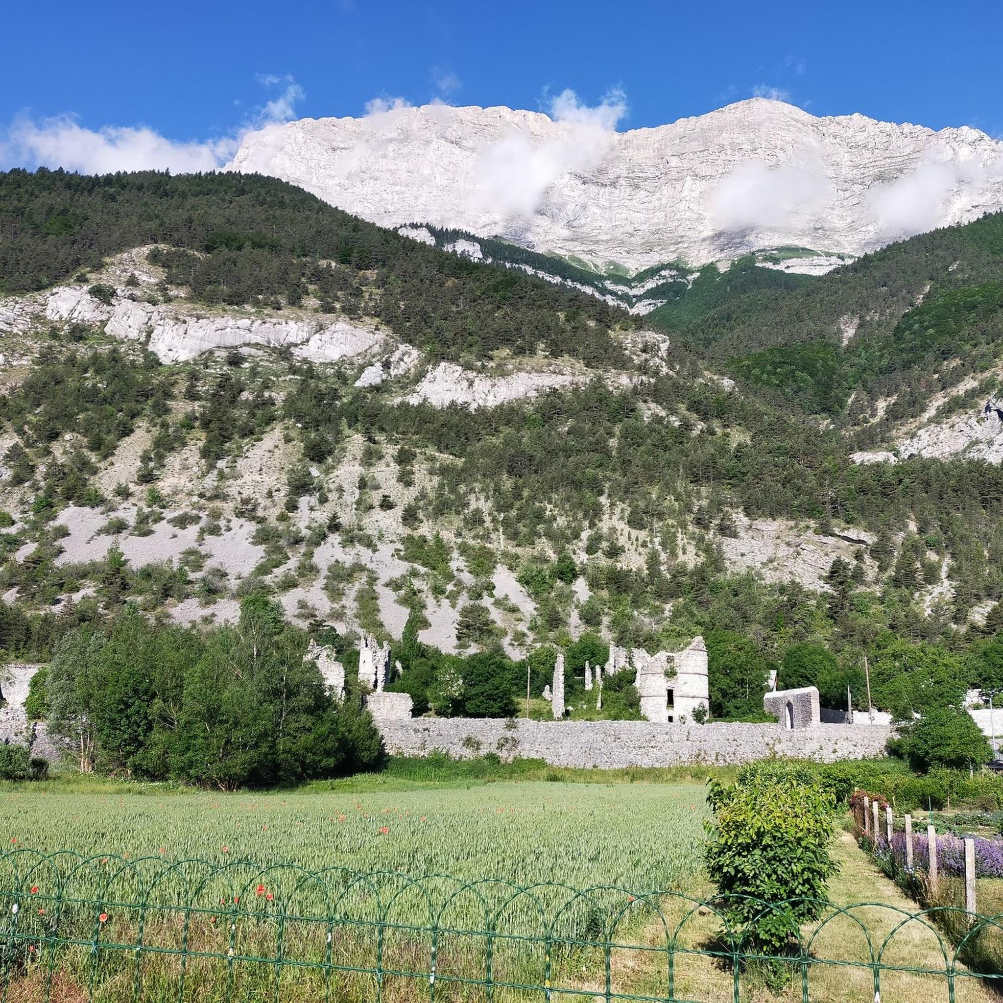
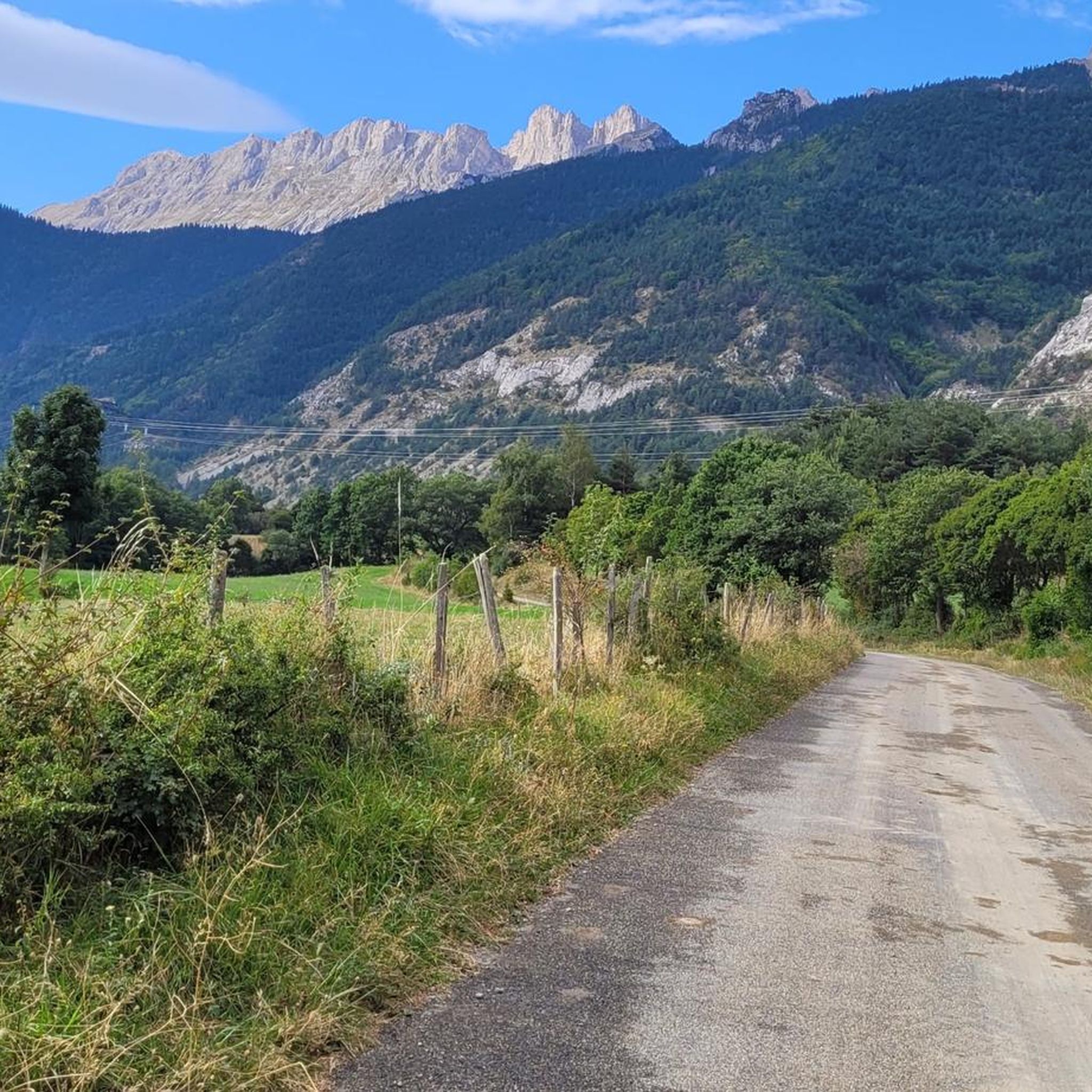
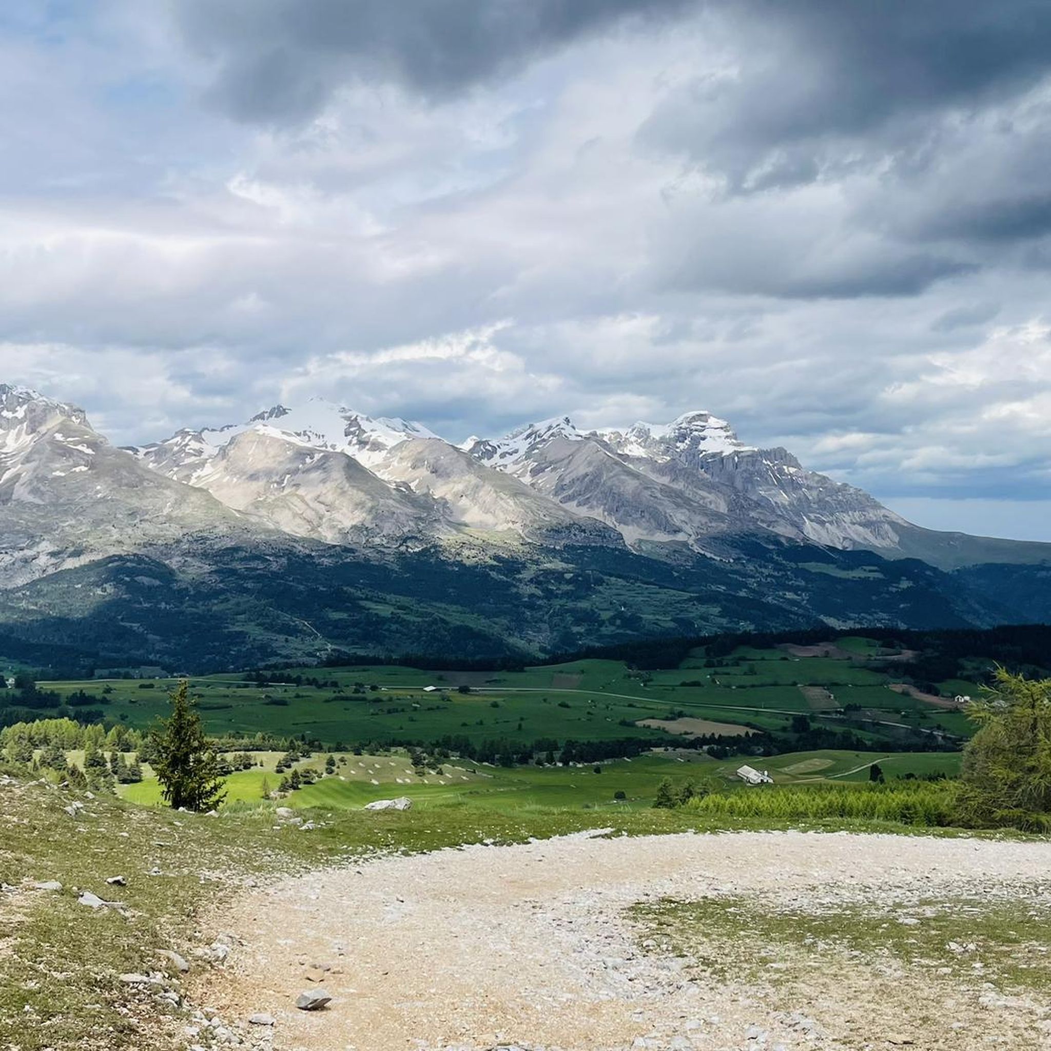

Tips from the Community

Very popular sanctuary in summer, accommodation available
0
0

A not difficult climb with spectacular views.
14
0

The climb to the Col du Noyer from its slope is the most challenging, with over six kilometers at an average gradient of 8.6%. The gradient is fairly steady and the setting is magnificent.
4
0
At times challenging climb with practically non-existent traffic. Panorama of indescribable beauty.
24
0

Magnificent Switchbacks! Real mountain road. When you arrive from Devoluy, discovering the view of Champsaur is absolutely magnificent. The descent is also very beautiful and fun but beware it remains a pass open to traffic even if the latter remains very light.
0
0

The Col de Noyer is a French mountain pass that separates the valleys of Champsaur and the Dévoluy region, in the Hautes-Alpes department. At an altitude of 1664 m, it is located between the Pic Ponsin and the Tête du Tourneau. It crosses the eastern ridge of the Dévoluy limestone massif.
1
0
The Col des Festreaux is a mountain pass in Provence-Alpes-Côte d'Azur with an elevation of 1,106 m.
0
0

Spectacular view. Two different atmospheres on each of the two arrivals, one very mineral, the other more bucolic.
3
0
Frequently Asked Questions
How many touring cycling routes are available around Le Glaizil?
There are nearly 100 touring cycling routes around Le Glaizil, offering a wide range of experiences. These include 5 easy routes perfect for a relaxed ride, 30 moderate routes for those seeking a bit more challenge, and 64 difficult routes for experienced cyclists looking to tackle the region's mountain passes.
Are there any easy or family-friendly touring cycling routes in the Le Glaizil area?
Yes, Le Glaizil offers 5 easy touring cycling routes, which are generally suitable for beginners or families looking for a more relaxed ride. While specific family-friendly routes are not detailed, these easier options provide a good starting point to enjoy the scenic valleys without aggressive gradients.
What are some of the most scenic viewpoints or natural attractions I can encounter on a touring bike ride near Le Glaizil?
The region around Le Glaizil is rich in natural beauty. You can experience breathtaking panoramic views from mountain passes like Col du Noyer (1664 m), which separates the Champsaur and Dévoluy valleys. The area also features spectacular canyons like the Infernet Gorge, and the serene Gillardes Spring. Many routes offer views of the Valgaudemar Valley and the distant peaks of the Ecrins National Park.
Are there any circular touring cycling routes around Le Glaizil?
Yes, many of the touring cycling routes around Le Glaizil are designed as loops, allowing you to start and finish in the same location. For example, the difficult Fountain – Water Point – Cascade loop from Saint-Firmin and the Festreaux Pass – La Salette Water Source loop from Saint-Firmin are popular circular options that showcase the region's diverse landscapes and water features.
What is the best season for touring cycling in Le Glaizil?
The best season for touring cycling in Le Glaizil, given its location in the French Alps, is typically from late spring (May/June) through early autumn (September/October). During these months, the weather is generally milder, and the high mountain passes are more likely to be clear of snow, offering optimal conditions for exploring the region's challenging and scenic routes.
What kind of terrain can I expect on touring cycling routes around Le Glaizil?
The terrain around Le Glaizil is characterized by a convergence of valleys, forests, and challenging mountain peaks. You can expect a mix of ascents and descents, with routes ranging from gentle valley roads to demanding climbs over iconic Alpine passes. The region offers diverse cycling experiences, from scenic 'balcony rides' with less aggressive gradients to routes that test your endurance on significant elevation gains.
Are there any routes that pass by significant landmarks or cultural sites?
Yes, some routes will take you past notable landmarks. For instance, the Festreaux Pass – La Salette Water Source loop from Saint-Firmin leads towards the significant Sanctuary of Our Lady of La Salette, an important pilgrimage destination. You might also pass through charming settlements like Saint-Bonnet-en-Champsaur, offering a glimpse into local life.
What do other touring cyclists say about the routes in Le Glaizil?
The touring cycling routes in Le Glaizil are highly regarded by the komoot community, holding an impressive average score of 4.6 stars from over 100 reviews. Cyclists frequently praise the challenging mountain passes, the stunning natural landscapes, and the variety of routes available for different skill levels.
Are there any particularly challenging touring cycling routes for advanced cyclists?
Absolutely. Le Glaizil is situated in a region renowned for its challenging Alpine terrain. Many routes feature significant elevation gains and passes. For example, the Tour of Dévoluy is a difficult 38.1-mile route with over 1300 meters of elevation gain, exploring the rugged landscapes of the Dévoluy valleys. Another demanding option is the Pont du Loup over the Drac – Gillardes Spring loop from Le Glaizil, covering 67.7 km with over 1500 meters of climbing.
Can I find routes that include famous mountain passes like Col du Noyer?
Yes, the region is home to iconic mountain passes. The Magnificent views over the valley. – Col du Noyer (1664 m) loop from Saint-Étienne-en-Dévoluy is a challenging route that specifically includes the renowned Col du Noyer (1664 m), offering a significant ascent and breathtaking panoramic views.
How long do touring cycling routes around Le Glaizil typically take to complete?
The duration of touring cycling routes around Le Glaizil varies greatly depending on their distance, elevation gain, and your cycling pace. For instance, a difficult route like the Tour of Dévoluy (61.3 km) typically takes around 4 hours and 25 minutes, while a slightly shorter but still difficult route like the Fountain – Water Point – Cascade loop from Saint-Firmin (42.4 km) might take about 2 hours and 46 minutes.
Most popular attractions around Le Glaizil

Get inspired with the komoot mobile app


Explore more
Browse the best Cycling routes in other regions.
