The best running trails around Le Noyer
4.3
(36)
2,059
runners
175
runs
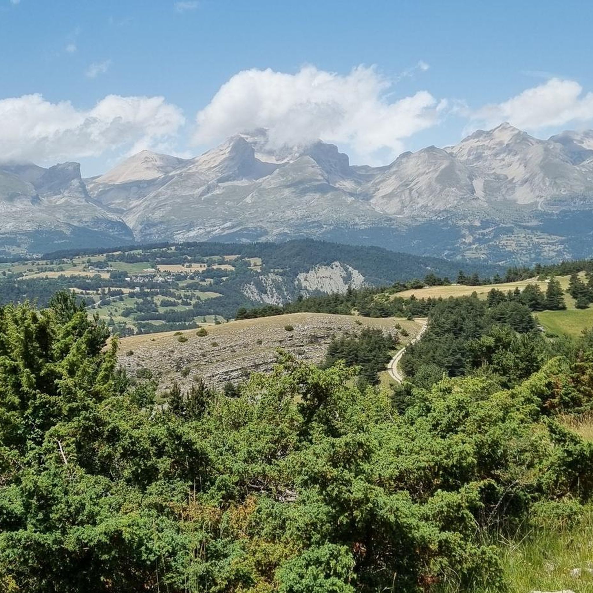
Jogging routes around Le Noyer offer a diverse mountainous environment with varied terrain suitable for different levels of physical activity. The region features challenging mountain passes like Col du Noyer, scenic gorges, and impressive peaks, providing a dynamic setting for running. Located in the Hautes-Alpes department, it is also near the vast natural beauty of Parc National des Écrins, which offers numerous trails. This area provides a range of running experiences, from demanding climbs to more accessible paths.
Best jogging…
Last updated: July 1, 2026
49
runners
23.6km
03:36
1,180m
1,180m
Hard run. Very good fitness required. Sure-footedness, sturdy shoes and alpine experience required.
23
runners
9.31km
01:08
260m
260m
Moderate run. Good fitness required. Mostly paved surfaces. Suitable for all skill levels.

Sign up for free
12
runners
8.62km
00:58
240m
250m
Moderate run. Good fitness required. Mostly paved surfaces. Suitable for all skill levels.
11
runners
11.5km
01:35
490m
490m
Hard run. Very good fitness required. Mostly accessible paths. Some sure footedness required.
11
runners
26.7km
03:46
1,160m
1,160m
Hard run. Very good fitness required. Mostly paved surfaces. Suitable for all skill levels.
Get access to more routes and recommendations from other explorers.
Sign up for free
Already have an account?
Our route recommendations are based on thousands of hikes, rides, and runs completed by other people on komoot.
Start today with a free account
Your next adventure awaits.
Login or Signup
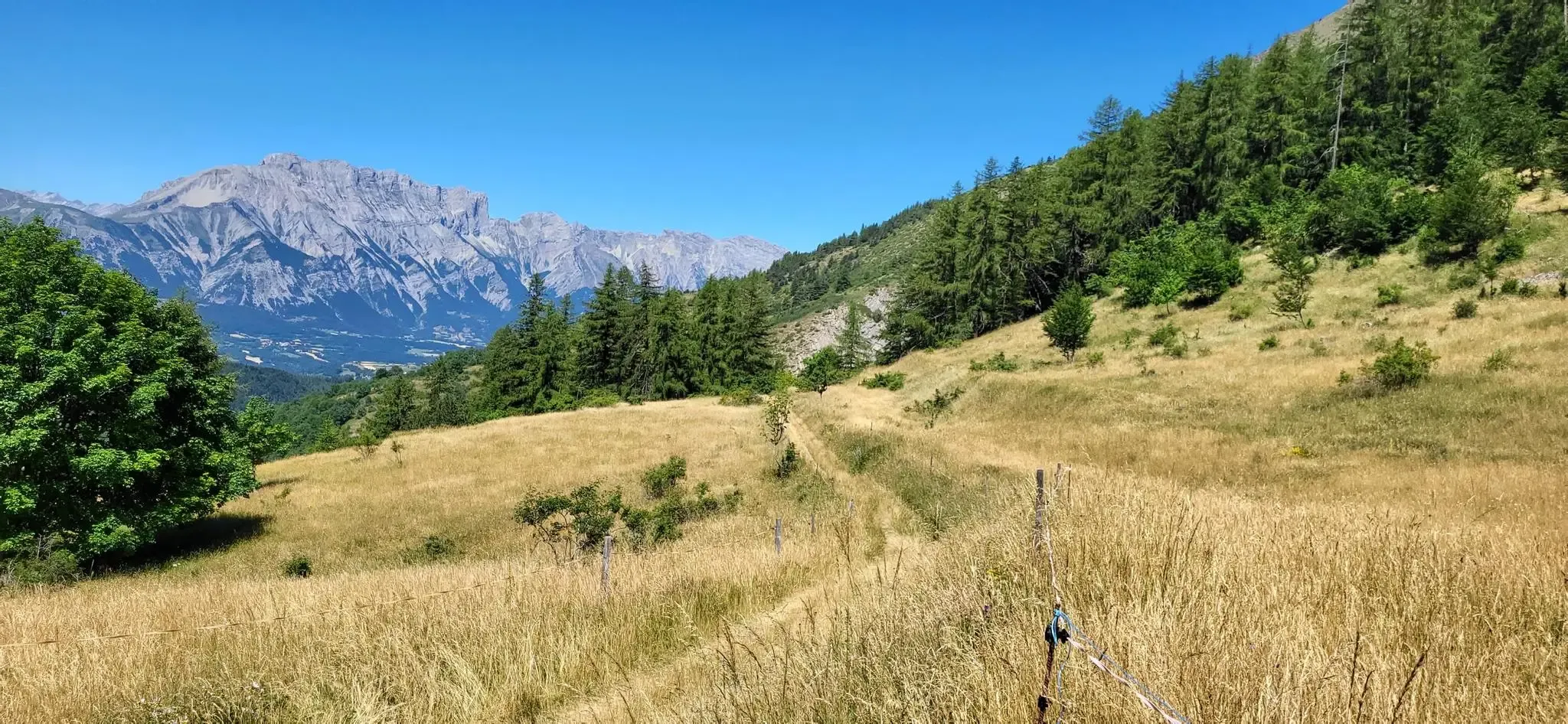
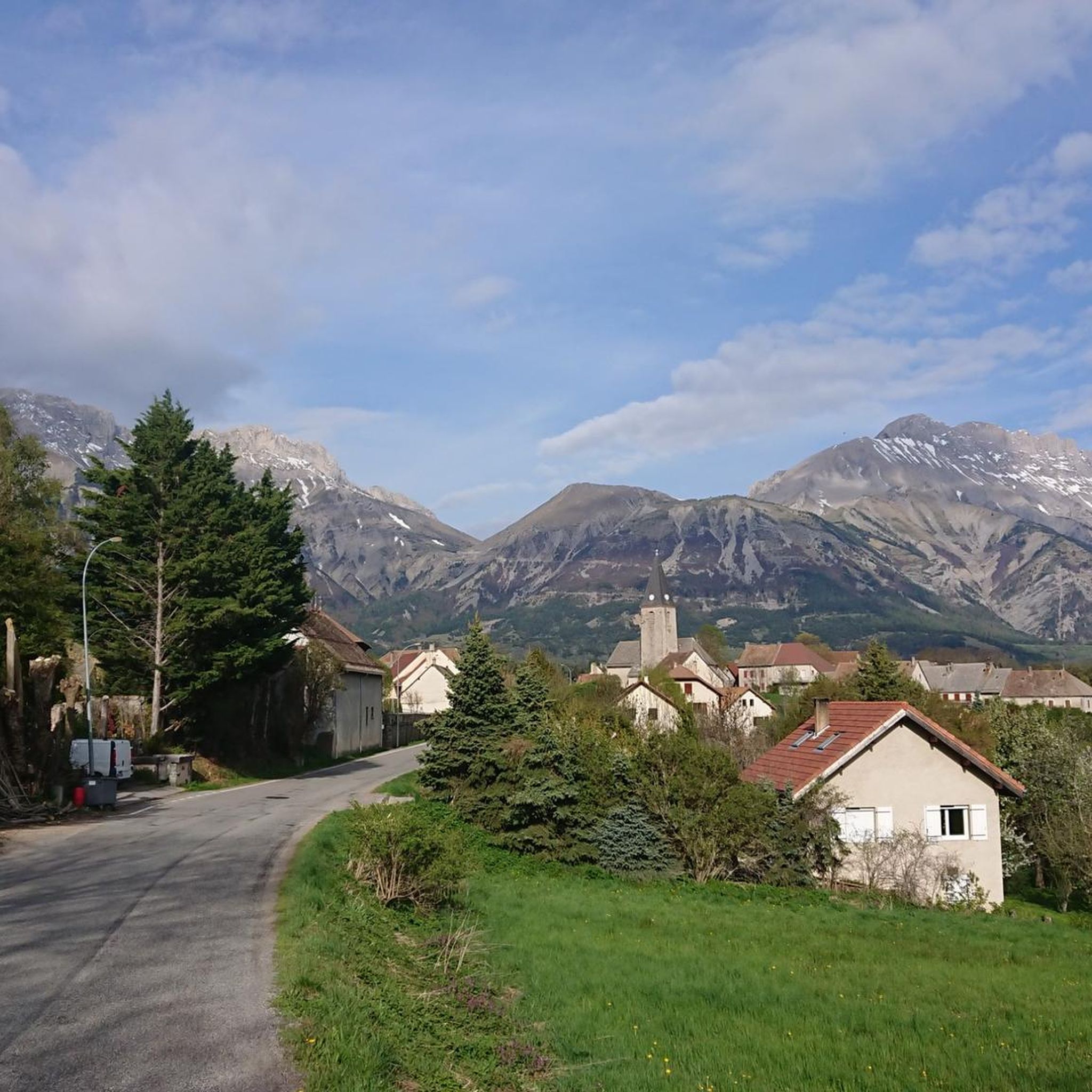
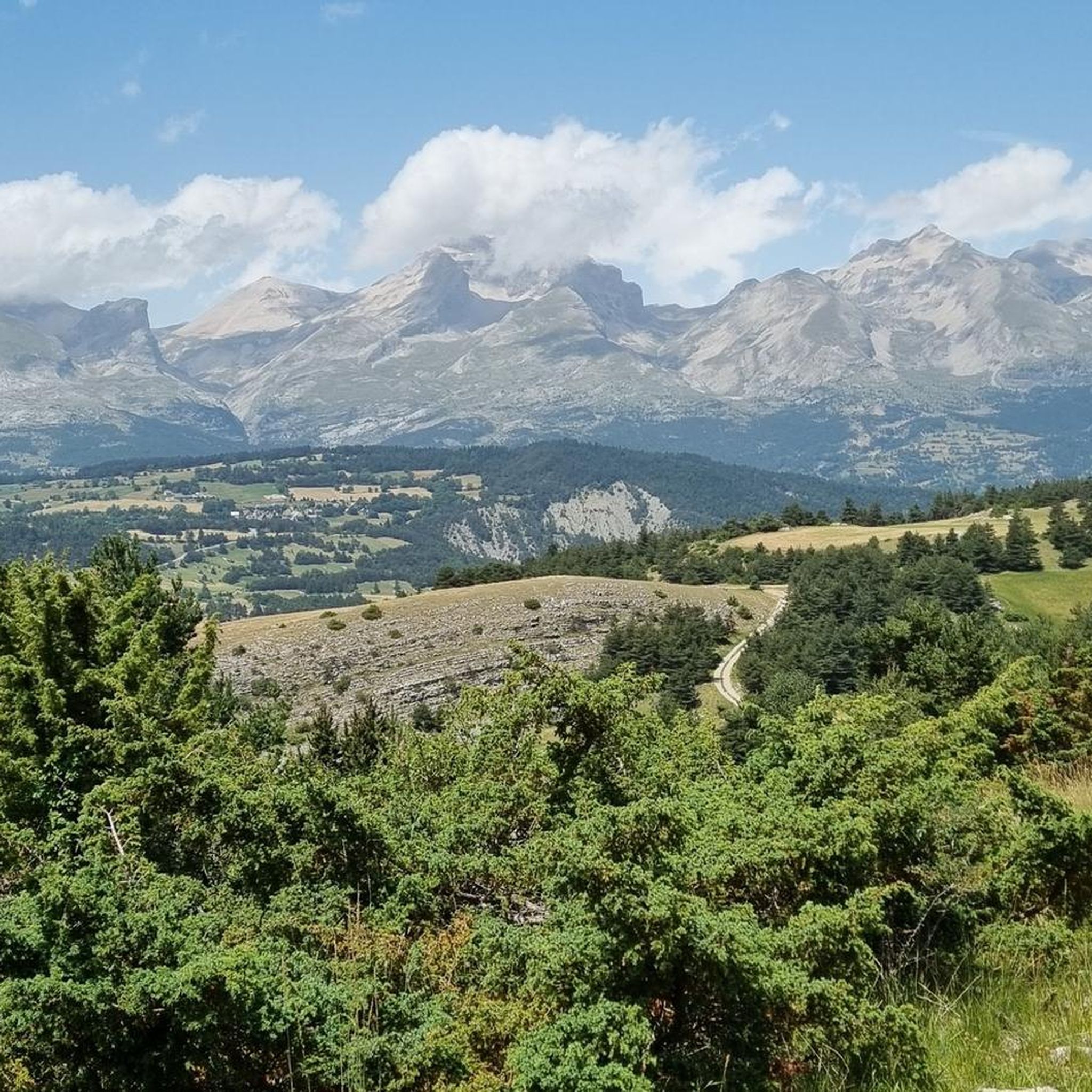
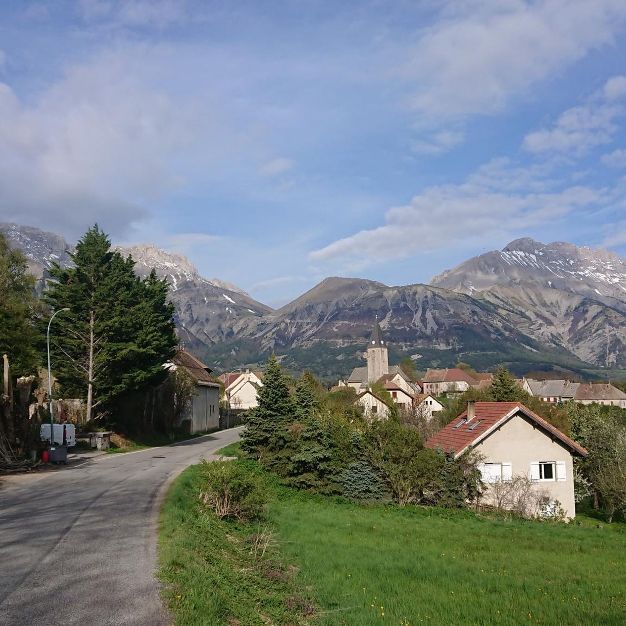

Other adventures around Le Noyer

Tips from the Community

At times challenging climb with practically non-existent traffic. Panorama of indescribable beauty.
24
0

Magnificent Switchbacks! Real mountain road. When you arrive from Devoluy, discovering the view of Champsaur is absolutely magnificent. The descent is also very beautiful and fun but beware it remains a pass open to traffic even if the latter remains very light.
0
0

The Col de Noyer is a French mountain pass that separates the valleys of Champsaur and the Dévoluy region, in the Hautes-Alpes department. At an altitude of 1664 m, it is located between the Pic Ponsin and the Tête du Tourneau. It crosses the eastern ridge of the Dévoluy limestone massif.
1
0

Spectacular view. Two different atmospheres on each of the two arrivals, one very mineral, the other more bucolic.
3
0

Low traffic road, very quiet. On the Gapençais side, only one hard ramp (11%), not very long. Magnificent descent on the Dévoluy side, 5* panorama
5
0

Small alpine pass from the Drac valley to the Dévoluy plateau, at the pass a small hut, great view of the Drac valley. Relatively narrow road, little traffic, completely asphalt. More information: https://www.quaeldich.de/paesse/col-du-noyer/
3
0
Frequently Asked Questions
How many running routes are available around Le Noyer?
There are over 160 running routes available around Le Noyer, offering a wide variety of options for different skill levels and preferences. The region's mountainous environment provides diverse terrain for exploration.
What is the overall difficulty level of running trails in the Le Noyer area?
The running trails around Le Noyer cater to a range of abilities. While there are a few easy routes, the majority are moderate (around 69 routes) or difficult (around 91 routes), featuring significant elevation changes and challenging terrain typical of the Hautes-Alpes region.
What do other runners say about the trails in Le Noyer?
The running routes in Le Noyer are highly rated by the komoot community, with an average score of 4.5 stars from over 29 reviews. Runners often praise the stunning mountainous landscapes, varied terrain, and the rewarding views from passes like Col du Noyer (1664 m).
Are there any easy or beginner-friendly running routes near Le Noyer?
While many routes are challenging, there are a few easier options available. For instance, the region offers approximately 4 routes classified as easy, which are great for beginners or those looking for a more relaxed run. These typically feature less elevation gain and smoother paths.
Can I find circular running routes in Le Noyer?
Yes, many of the running routes around Le Noyer are circular, allowing you to start and finish at the same point. Examples include the popular Running loop from Saint-Étienne-en-Dévoluy or the Running loop from SuperDévoluy, both offering scenic experiences.
Are there running trails in Le Noyer that offer panoramic views or pass by notable landmarks?
Absolutely! The mountainous terrain ensures many routes boast breathtaking views. You can find trails that lead to or pass by significant landmarks such as Col du Noyer (1664 m), Gleize Peak, and the dramatic Infernet Gorge. The Col de Saume – Col du Noyer loop from Poligny is a great example of a route with stunning vistas.
What kind of terrain can I expect on the running trails around Le Noyer?
The terrain around Le Noyer is predominantly mountainous and varied. You can expect a mix of forest paths, rocky trails, and open alpine meadows. Routes often feature significant ascents and descents, providing a dynamic and challenging experience for trail runners.
Are there options for longer, more challenging trail runs in the region?
Yes, Le Noyer is an excellent destination for longer and more challenging trail runs. Routes like the Costebelle loop from Poligny, which covers nearly 24 km with over 1100 meters of elevation gain, offer a demanding experience for experienced runners. The region's mountain passes are ideal for strenuous efforts.
Are the running routes around Le Noyer suitable for families?
While many routes are challenging, families can find suitable options, especially among the easier trails. Look for routes with less elevation and shorter distances. The natural beauty of the area, including features like Gillardes Spring, can make for an enjoyable outing for active families.
Are the running trails around Le Noyer dog-friendly?
Many trails in the Hautes-Alpes region are dog-friendly, especially those outside protected areas where specific rules might apply. It's always recommended to keep dogs on a leash, especially in areas with livestock or wildlife, and to check local regulations for specific trails, particularly within the Parc National des Écrins.
Where can I find parking for the running trails near Le Noyer?
Parking is generally available at the starting points of many popular trails, particularly in villages like Poligny or Saint-Étienne-en-Dévoluy, which serve as common access points for routes such as the N.D. de bois vert loop from Poligny. It's advisable to check specific route details for designated parking areas.
What is the best time of year for running in Le Noyer?
The best time for running in Le Noyer is typically from late spring to early autumn (May to October) when the weather is milder and trails are clear of snow. Summer offers warm conditions, while spring and autumn provide cooler temperatures and vibrant scenery. Winter running is possible but requires appropriate gear for snow and ice, especially at higher elevations.
Are there any hidden gem running trails around Le Noyer?
The region around Le Noyer is known for its many 'hidden gems' waiting to be explored. While specific routes might not be widely publicized, venturing off the most popular paths can lead to secluded trails with unique views and a sense of discovery, often found in the vast network of paths within the mountainous landscape.
Most popular routes around Le Noyer
Most popular attractions around Le Noyer

Get inspired with the komoot mobile app


Explore more
Browse the best Running Trails & Routes in other regions.
