The best road cycling routes around Saint-Étienne-Le-Laus
4.5
(363)
11,328
riders
148
rides
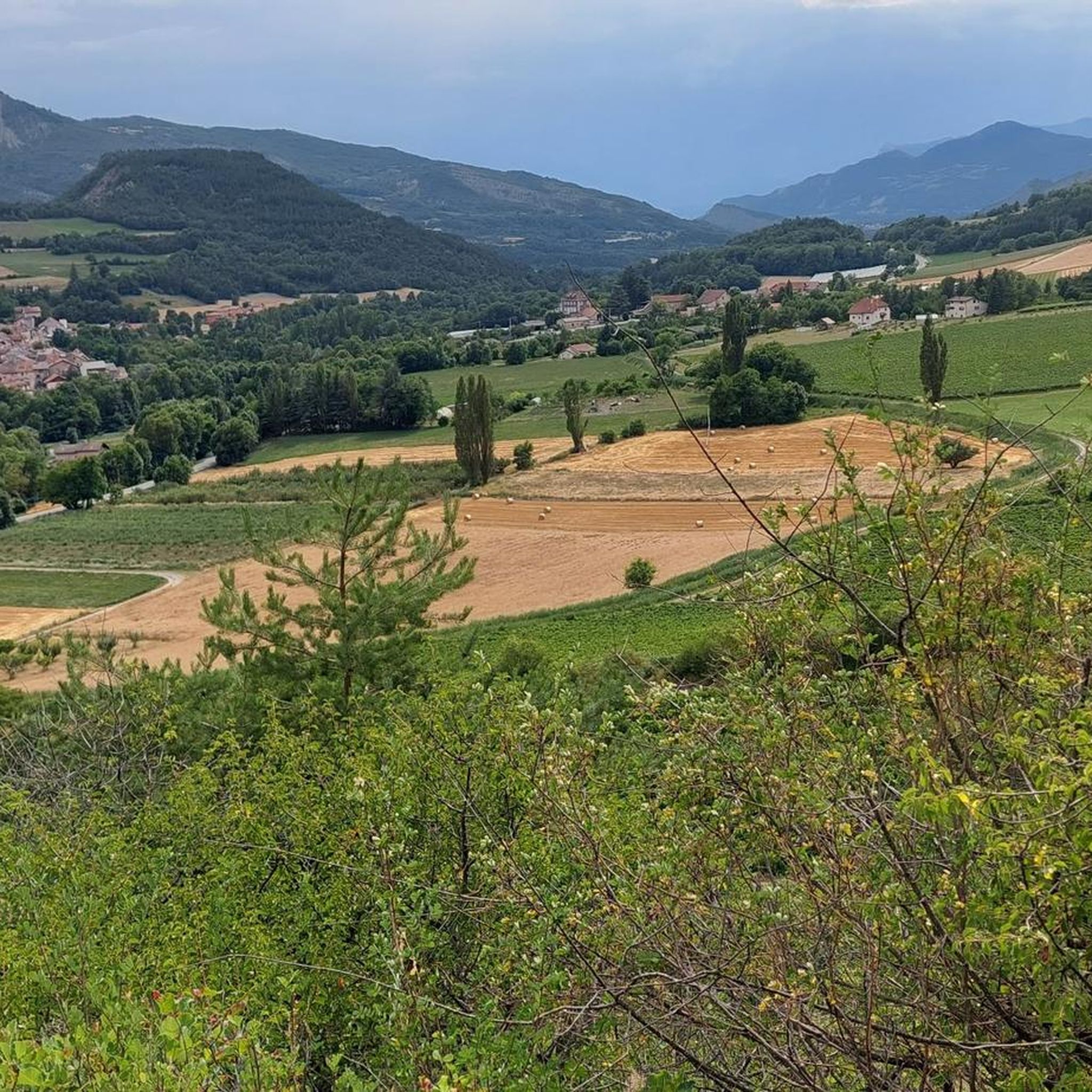
Road cycling routes around Saint-Étienne-Le-Laus are situated in the Hautes-Alpes department of southeastern France, within the Southern French Alps. This region features diverse natural landscapes, including panoramic views of the Avance and Durance valleys. The terrain varies from distinctive dry marl formations to extensive forests, with notable features like Lake Serre-Ponçon and the Gorges de la Blanche. Road cyclists can expect a mix of challenging ascents and scenic valley rides.
Best road cycling routes around Saint-Étienne-Le-Laus
- The most popular road…
Last updated: October 16, 2026
4.3
(4)
160
riders
81.0km
04:17
1,450m
1,450m
Hard road ride. Very good fitness required. Mostly well-paved surfaces and easy to ride.
110
riders
103km
05:23
1,790m
1,790m
Hard road ride. Very good fitness required. Mostly well-paved surfaces and easy to ride.

88
riders
79.5km
03:36
850m
850m
Moderate road ride. Good fitness required. Mostly well-paved surfaces and easy to ride.
5.0
(1)
48
riders
45.6km
02:10
560m
560m
Moderate road ride. Good fitness required. Mostly well-paved surfaces and easy to ride.
4.0
(4)
30
riders
24.8km
01:58
1,070m
1,070m
Hard road ride. Very good fitness required. Mostly well-paved surfaces and easy to ride.
Get access to more routes and recommendations from other explorers.
Already have an account?
Our route recommendations are based on thousands of hikes, rides, and runs completed by other people on komoot.
Start today with a free account
Your next adventure awaits.
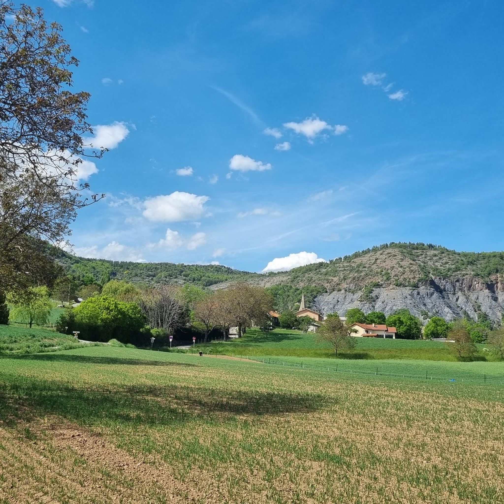
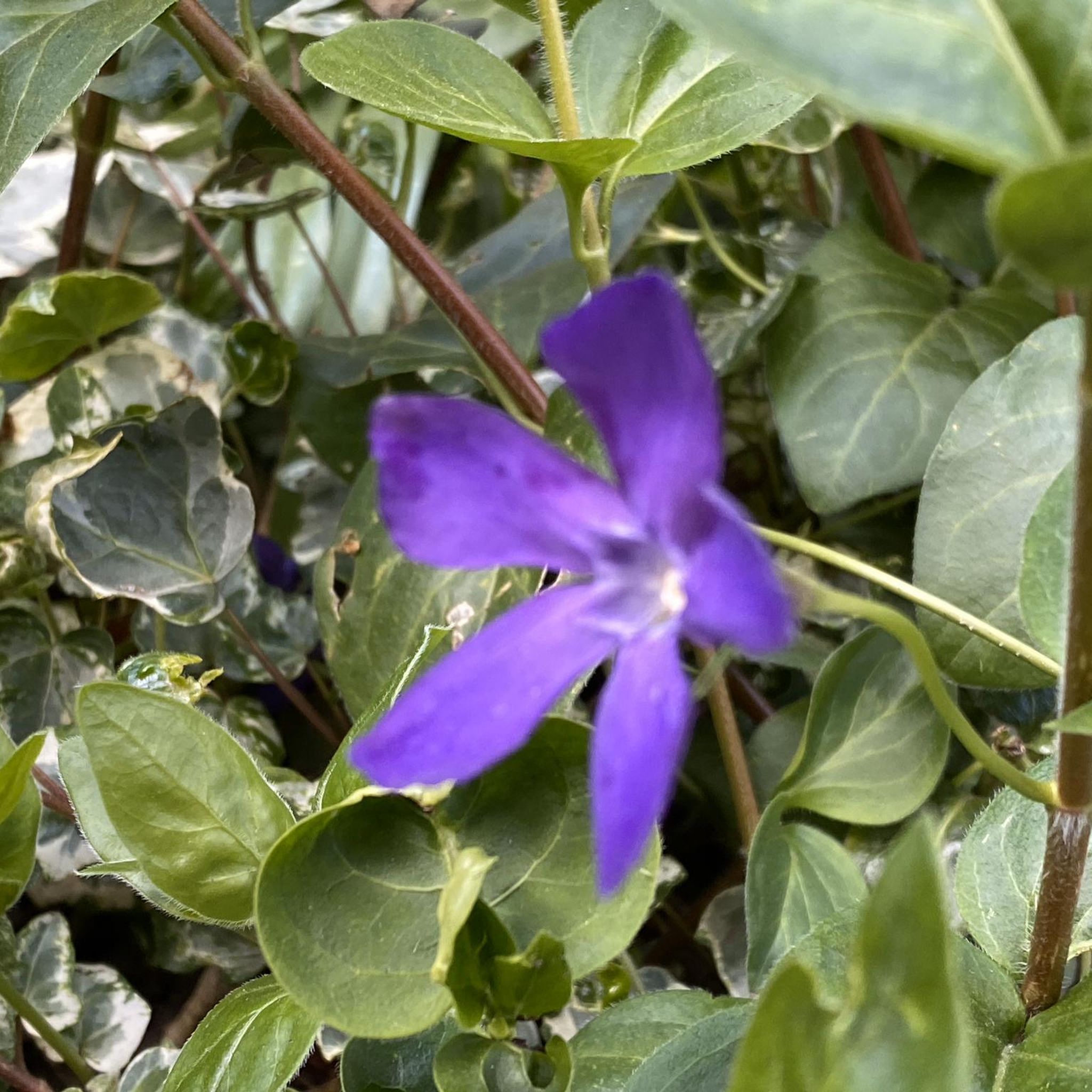
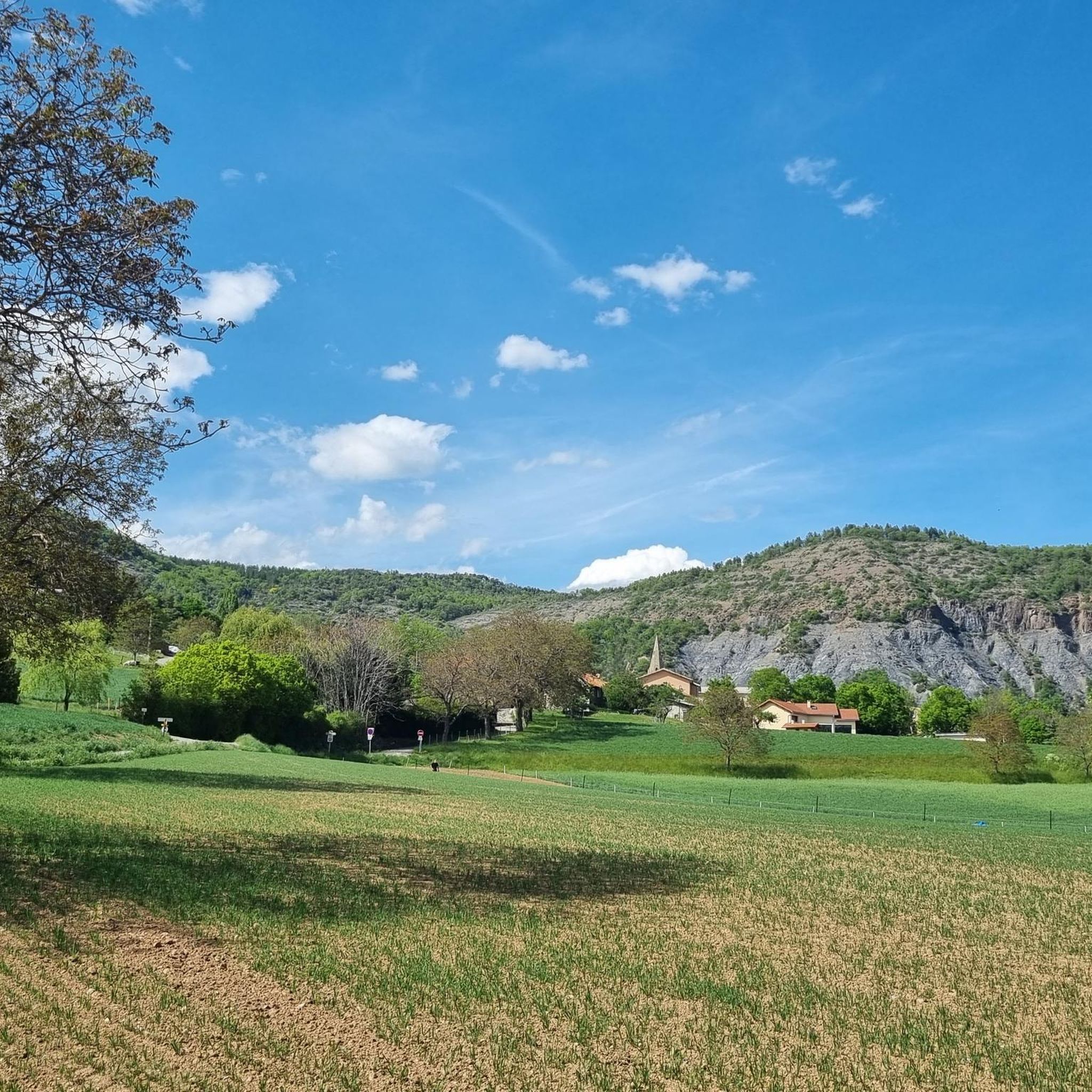
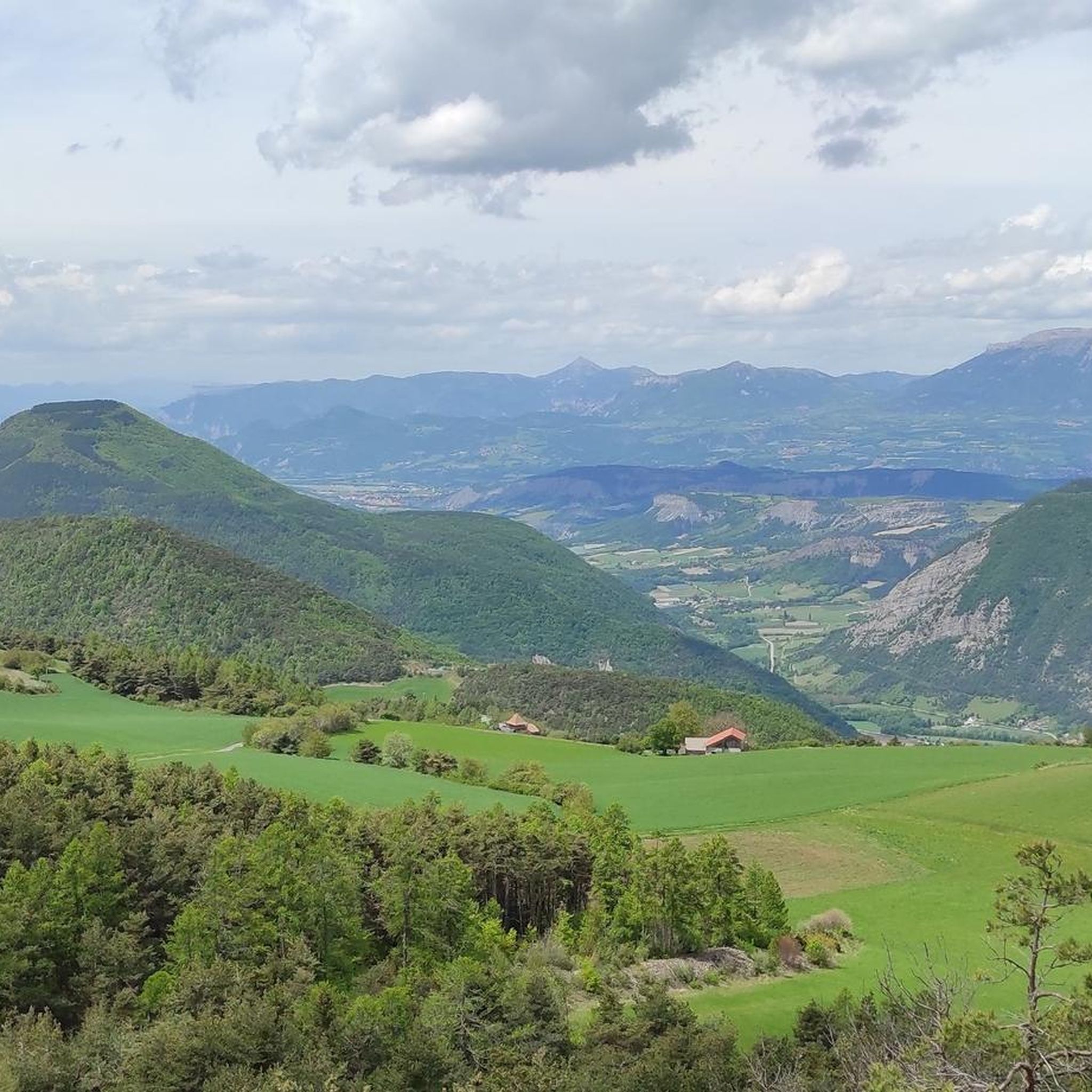

Tips from the Community

A beautiful but steep climb. There isn't a moment's rest, but the views from the top are phenomenal!
0
0
El Monte Colombis (1733 m) is one of the lesser-known monsters of the Alps. Very tough climbs like the Mont Ventoux, the Grand Colombier or the Mont du Chat have a much greater reputation in the cycling world.
0
0

Road without traffic, great for cycling in peace.
12
0
The Castle of Tallard is one of the most important medieval monuments in the French Hautes-Alpes. It stands in the village of Tallard, about 20 km from Gap, in a dominant position over the Durance valley.
15
0
The Castle of Tallard is one of the most important medieval monuments in the French Hautes-Alpes. It stands in the village of Tallard, about 20 km from Gap, in a dominant position over the Durance valley.
16
0
Old wooden cart adorned with flowers.
10
0
Not a very long climb with sections of significant gradients.
9
0
Tallard is a French commune with 1,996 inhabitants located in the Hautes-Alpes department in the Provence-Alpes-Côte d'Azur region. 570-1,121 m above sea level.
16
0
Frequently Asked Questions
How many road cycling routes are available around Saint-Étienne-Le-Laus?
There are over 170 road cycling routes available around Saint-Étienne-Le-Laus, catering to various skill levels. The komoot community has explored more than 11,700 of these routes.
What is the best time of year for road cycling in Saint-Étienne-Le-Laus?
Saint-Étienne-Le-Laus, situated in the Southern French Alps, offers excellent road cycling conditions during the warmer months. Spring and autumn generally provide pleasant temperatures and stunning scenery, while summer allows for high-altitude rides. Always check local weather conditions before heading out.
What kind of terrain can I expect on road cycling routes in this region?
The region offers diverse terrain, from challenging ascents through the Southern French Alps to scenic valley rides with panoramic views of the Avance and Durance valleys. You'll encounter varied landscapes, including distinctive dry marl formations, extensive forests, and routes around natural features like Lake Serre-Ponçon.
Are there road cycling routes suitable for beginners or families?
Yes, Saint-Étienne-Le-Laus offers routes suitable for different ability levels. While many routes feature significant elevation gain, there are 6 routes classified as easy, providing options for less experienced cyclists or family outings. You can find moderate options like the Col de Jarjayes – Sentinel Pass loop from Remollon, which is 42.8 km long.
Are there challenging road cycling routes for experienced cyclists?
Absolutely. The area is known for its challenging ascents within the Southern French Alps. There are 81 routes classified as difficult, including the 81.5 km Col de Pontis – Lake Serre-Ponçon loop from Valserres, which features over 1,400 meters of elevation gain. Another challenging option is the Sentinel Pass – Col de Jarjayes loop from Jarjayes, covering 41.4 km with nearly 1,000 meters of climbing.
What natural features or landmarks can I see while road cycling in Saint-Étienne-Le-Laus?
Many routes offer views of stunning natural features. You can cycle past Chanteloube Viaduct and Serre-Ponçon Dam near Lake Serre-Ponçon. The Gorges de la Blanche also provide a beautiful 15 km climb. The region is rich in panoramic valley views and distinctive dry marl formations.
Are there any specific viewpoints along the road cycling routes?
Yes, the region is dotted with magnificent viewpoints. Cyclists can enjoy prominent panoramic views of the Avance and Durance valleys. The View of Lac de Serre-Ponçon from Mont Colombis is a notable highlight, offering breathtaking vistas of one of France's largest artificial lakes.
What do other road cyclists say about the routes in Saint-Étienne-Le-Laus?
The road cycling routes in Saint-Étienne-Le-Laus are highly rated by the komoot community, with an average score of 4.5 stars from over 330 reviews. Cyclists often praise the diverse terrain, stunning Alpine scenery, and the mix of challenging ascents and rewarding descents.
Can I find circular road cycling routes in Saint-Étienne-Le-Laus?
Yes, many of the routes are designed as loops, allowing you to start and finish in the same location. Examples include the Col de Pontis – Lake Serre-Ponçon loop from Valserres and the Sentinel Pass – Gap loop from Saint-Étienne-le-Laus.
Are there long-distance road cycling routes in the area?
Yes, you can find several long-distance options. The View of Château de Tallard – La Motte du Caire loop from Théus spans 84.5 km, and the Col de Pontis – Lake Serre-Ponçon loop from Valserres is 81.5 km, offering extensive rides through the regional landscape.
Are there cafes or accommodation options for cyclists in Saint-Étienne-Le-Laus?
As a popular outdoor destination in the Hautes-Alpes, Saint-Étienne-Le-Laus and its surrounding villages offer various amenities for visitors. While specific cyclist-focused establishments are not detailed, you can expect to find cafes, restaurants, and accommodation options in the local towns to support your cycling adventures.
Most popular routes around Saint-Étienne-Le-Laus
Most popular attractions around Saint-Étienne-Le-Laus

Get inspired with the komoot mobile app


Explore more
Browse the best Road cycling routes in other regions.
