The best running trails around La Fare-En-Champsaur
4.4
(65)
4,352
runners
173
runs
Jogging routes around La Fare-En-Champsaur offer diverse landscapes within the Hautes-Alpes department, situated in the Champsaur Valley and near the Écrins National Park. The region is characterized by bucolic farmland, forests, and the Drac River, providing varied terrain for runners. Trails range from gentle paths along riverbanks to more challenging routes with significant elevation gain through wooded slopes and towards mountain lakes. This area provides a comprehensive network of running opportunities for different fitness levels.
Best jogging routes around La…
Last updated: October 18, 2026
5.0
(1)
81
runners
23.6km
03:36
1,180m
1,180m
Hard run. Very good fitness required. Sure-footedness, sturdy shoes and alpine experience required.
30
runners
29.5km
03:58
1,180m
1,180m
Hard run. Very good fitness required. Mostly accessible paths. Some sure footedness required.

21
runners
10.7km
01:57
820m
820m
Hard run. Very good fitness required. Sure-footedness, sturdy shoes and alpine experience required.
7
runners
12.5km
01:38
440m
440m
Hard run. Very good fitness required. Mostly paved surfaces. Suitable for all skill levels.
10
runners
Hard run. Very good fitness required. Mostly paved surfaces. Suitable for all skill levels.
Get access to more routes and recommendations from other explorers.
Already have an account?
Our route recommendations are based on thousands of hikes, rides, and runs completed by other people on komoot.
Start today with a free account
Your next adventure awaits.

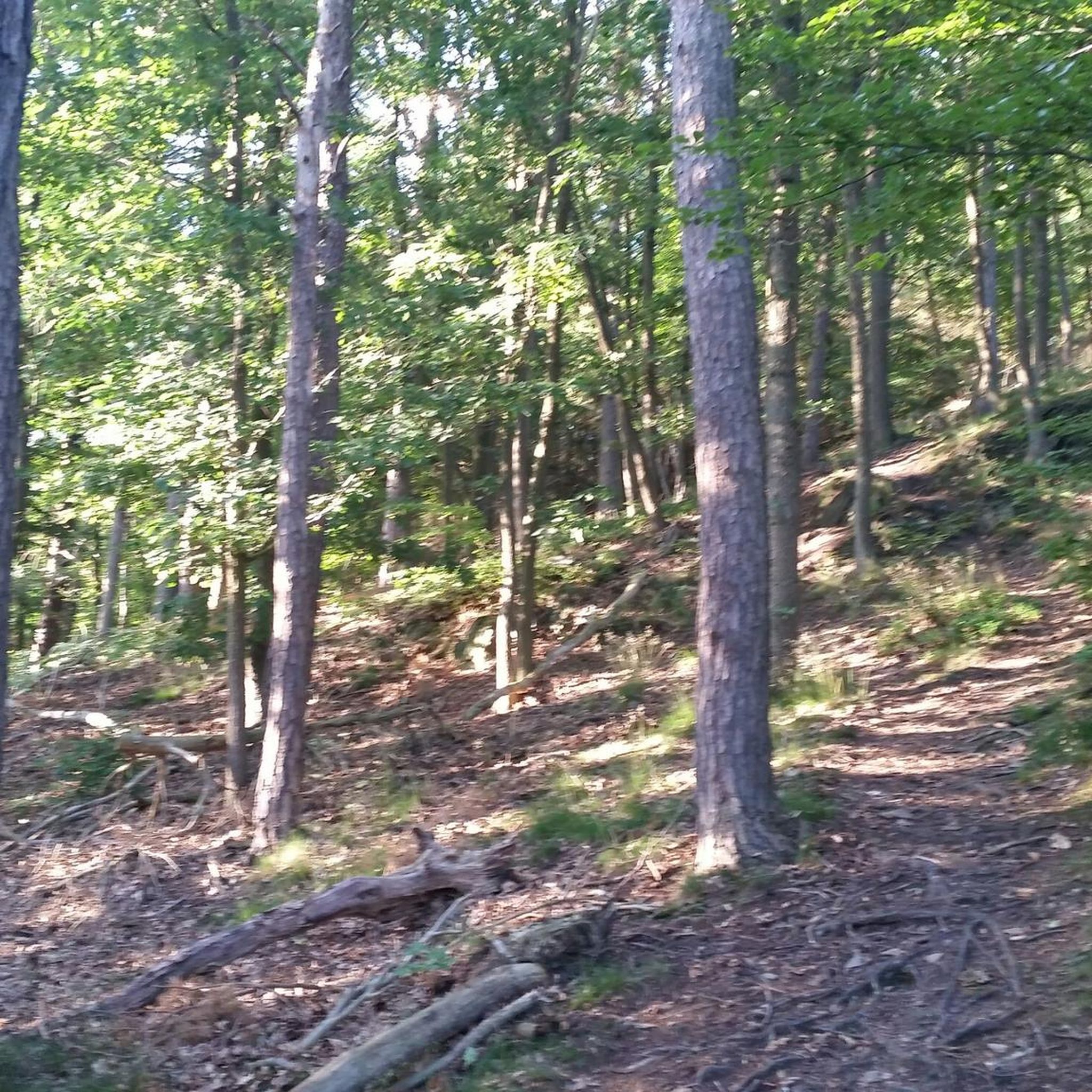
Tips from the Community

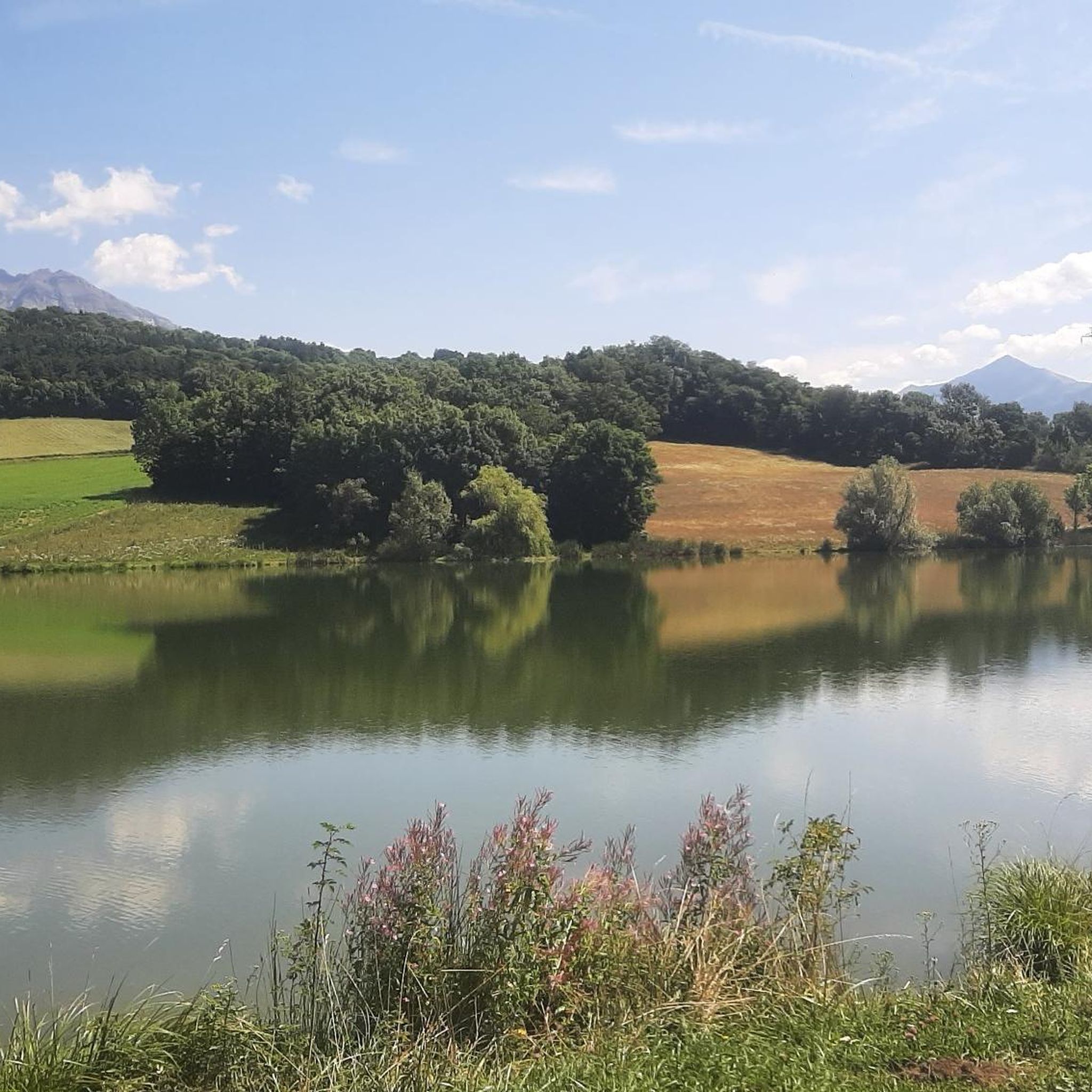
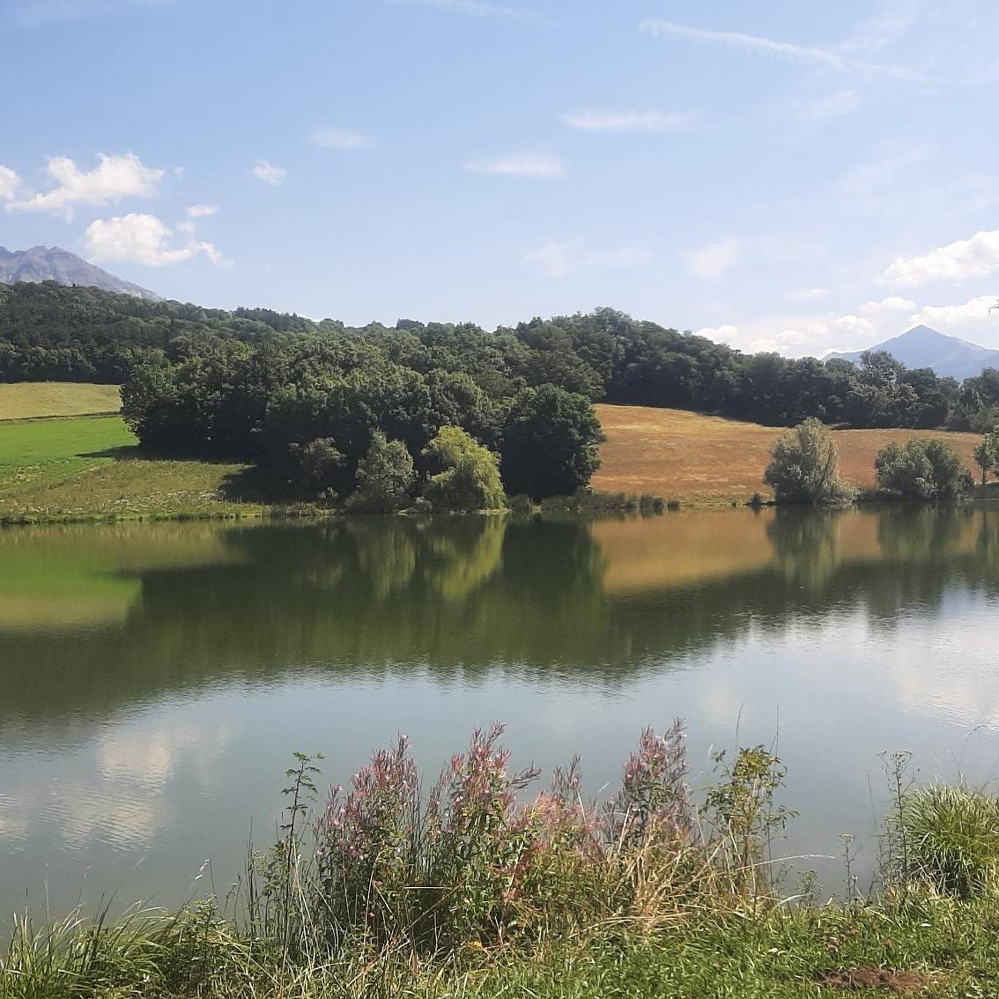
Beautiful artificial lake in the Champsaur from where you can climb to the Col de l'Escalier.
0
0

The path winds through a forested part before leading to an open part with meadows.
0
0
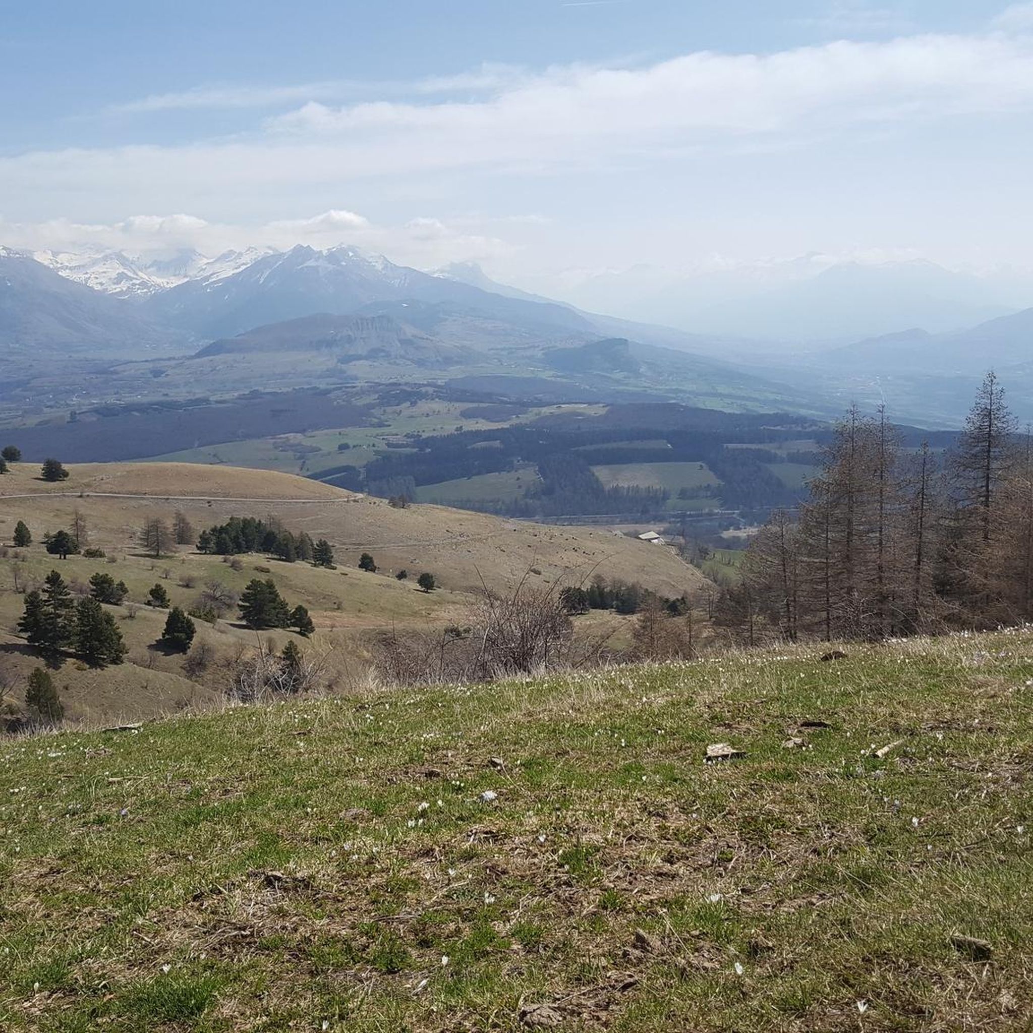
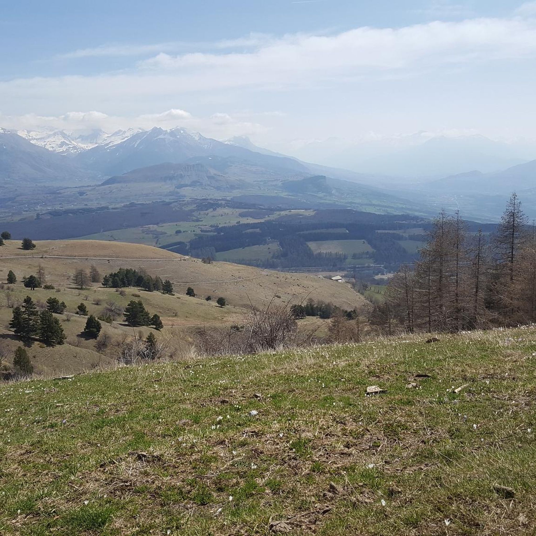
This cabin is located under the Chamois peak. The view of the surrounding peaks is superb. It is an ideal place for a picnic or to bivouac.
0
0

Unobstructed view of the Champsaur bocage, on a very small quiet asphalt road.
2
0
Pretty mountain lake in the Pays de Champsaur. For a picnic you will find a small farm 200 m from the lake, where you can find very good products!
1
0

series of playful turns in the woods
0
0
Frequently Asked Questions
How many running routes are available around La Fare-En-Champsaur?
There are over 160 running routes in the La Fare-En-Champsaur area, offering a wide variety of terrain and difficulty levels for all types of runners. This includes easy paths, moderate trails, and challenging ascents.
Are there any easy or beginner-friendly jogging routes in the region?
Yes, La Fare-En-Champsaur offers several easy running routes, with 8 specifically categorized as such. These often follow the banks of the Drac River or dedicated plateau trails, providing gentle inclines and shaded paths suitable for beginners or those seeking a relaxed run.
What kind of landscapes can I expect to see while running in La Fare-En-Champsaur?
The region boasts diverse landscapes, from bucolic farmland and hedged fields to dense fir and larch forests. You'll find routes along the tranquil Drac River, through lush alpine meadows, and up to panoramic viewpoints offering magnificent vistas of the Champsaur Valley, Dévoluy, and the Écrins National Park.
Are there any circular running routes available?
Yes, many routes in La Fare-En-Champsaur are circular. For example, the Le Girolet loop from La Fare-en-Champsaur is a popular 10.7 km trail through varied terrain. Another option is the Saint-Bonnet-en-Champsaur loop from La Fare-en-Champsaur, a moderate 11.8 km route.
Can I find running trails that lead to scenic viewpoints or landmarks?
Absolutely. Many trails offer breathtaking views. For instance, routes near Ancelle lead to viewpoints like La Croix Saint-Philippe. You can also explore trails that pass by notable attractions such as Col du Noyer (1664 m) or Col de Gleize (1691 m). The region's proximity to the Écrins National Park also means access to routes with truly wild and grandiose settings.
Are there any running routes that pass by mountain lakes?
Yes, the region is home to several beautiful mountain lakes accessible via marked trails. A challenging but rewarding option is the Lake Barbeyroux loop from La Fare-en-Champsaur, a difficult 29.6 km path leading to a scenic mountain lake. Other lakes in the wider Orcières area, like Lac des Estaris, are also destinations for longer runs.
What is the best time of year for running in La Fare-En-Champsaur?
La Fare-En-Champsaur offers running opportunities throughout the year. Spring and autumn provide pleasant temperatures and vibrant scenery. Summer is ideal for higher altitude trails, while winter can offer unique experiences on snow-covered paths, though some routes may require specific gear or conditions.
What do other runners say about the trails in La Fare-En-Champsaur?
The running routes in La Fare-En-Champsaur are highly rated by the komoot community, with an average score of 4.5 stars from over 50 reviews. More than 4000 runners have used komoot to explore the region's varied terrain, often praising the diverse landscapes and well-maintained paths.
Are there any challenging trail running options for experienced runners?
For experienced runners, La Fare-En-Champsaur and its proximity to the Écrins National Park offer numerous challenging routes with significant elevation changes. These include trails to mountain summits and dedicated trail running sectors within the park, often requiring sure-footedness and sturdy shoes. An example is the Costebelle loop from Poligny, a difficult 23.6 km trail with over 1180 meters of elevation gain.
Are the running routes suitable for families or those with children?
While specific 'family-friendly' routes are not explicitly categorized, the region's easy and moderate trails along the Drac River or on flatter plateaus are generally suitable for families. These paths offer gentle terrain and scenic views, making them enjoyable for all ages. Always check the route details for distance and elevation to ensure it matches your family's capabilities.
Can I bring my dog on the running trails?
Many outdoor trails in the La Fare-En-Champsaur area are dog-friendly, especially those outside of strict nature reserves. However, it's always advisable to keep your dog on a leash, especially in agricultural areas or near livestock, and to check local regulations, particularly if running within or near the Écrins National Park boundaries.
Are there any routes that pass through charming villages or cultural sites?
Yes, some running routes allow you to incorporate cultural sights. You might pass through charming agricultural villages like Saint-Bonnet-en-Champsaur, known for its historic market square. These routes offer a blend of natural beauty and local heritage.
Most popular routes around La Fare-En-Champsaur
Most popular attractions around La Fare-En-Champsaur

Get inspired with the komoot mobile app


Explore more
Browse the best Running Trails & Routes in other regions.
