The best walks and hikes in the Baetic System Mountains
4.4
(54065)
292,438
hikers
9,624
hikes
Hiking in the Baetic System Mountains offers diverse landscapes across southern and eastern Spain, characterized by complex geological structures and Mediterranean features. The region includes the majestic Sierra Nevada, home to Mulhacén, the highest peak in continental Spain, alongside numerous other summits over 3,000 meters. Hikers can explore spectacular limestone formations, profound gorges, and varied vegetation ranging from Mediterranean forests to high-altitude shrublands. This extensive mountain system provides a wide array of hiking experiences.
Best hiking trails in the Baetic System Mountains
- The most popular hiking route is Caminito del Rey from El Chorro, a 5.4 miles (8.6 km) trail that takes 4 hours 2 minutes to complete. This difficult path navigates through the Gaitanes Gorge, offering views along vertical rock walls.
- Another top favourite among local hikers is Los Cahorros de Monachil Loop, a moderate 5.0 miles (8.0 km) path. This route features engaging terrain with hanging bridges and river crossings.
- Local hikers also love the Rio Chillar Trail, a 9.0 miles (14.4 km) trail leading through riverbeds and gorges, often completed in about 4 hours 2 minutes.
- Hiking in the Baetic System Mountains is defined by alpine-like peaks, intricate limestone gorges, and diverse Mediterranean forests. The extensive network of trails offers options for different ability levels, from gentle walks to challenging ascents.
- The routes in Baetic System Mountains are highly rated by the komoot community with an average score of 4.5 stars from more than 47,700 reviews. More than 268,000 hikers have used komoot to explore Baetic System Mountains's varied terrain.
Last updated: July 6, 2026
4.9
(984)
12,524
hikers
8.65km
04:03
620m
620m
Hard hike. Good fitness required. Sure-footedness, sturdy shoes and alpine experience required.
4.8
(861)
2,794
hikers
8.03km
02:24
250m
250m
The Los Cahorros de Monachil loop trail is a gem near Granada that transports you to a world of adventure. The path leads you through a stunning gorge, following the Monachil River, where vegetation is lush and rock walls rise majestically. You can expect suspension bridges swaying over the water, narrow passages under overhanging rocks that will have you ducking, and even the chance to find pools for a refreshing dip. It's an immersive experience that combines the thrill of exploration with the natural beauty of Andalusia.
This 8.0-kilometer trail, with an elevation gain of 251 meters, can be completed in approximately 2 hours and 24 minutes and is classified as moderately difficult. It's ideal for families with children over eight years old and for those seeking an interactive hike. To get there, Monachil is about twenty minutes from Granada by car or bus. I recommend going early to secure parking and avoid crowds, especially on weekends or holidays. Don't forget to bring water, as the return leg can be sunny and exposed.
What truly sets Los Cahorros apart are its unique features, such as the suspension bridges and the passages under the rocks, which give it a touch of

Sign up for free
4.7
(287)
1,044
hikers
Moderate hike. Good fitness required. Easily-accessible paths. Suitable for all skill levels.
4.8
(349)
1,149
hikers
6.67km
02:17
370m
350m
Hike the moderate Puerto de las Presillas Trail in Sierra de Grazalema Natural Park, featuring karst formations and panoramic views.
4.9
(202)
896
hikers
14.4km
04:02
280m
280m
The Río Chíllar trail, near Nerja, invites you to a truly unique hiking experience: walking directly in a riverbed. Prepare to get wet as you wade through ankle to knee-deep water, past lush Mediterranean vegetation and impressive rock formations. The highlight is the spectacular canyons of Los Cahorros, where polished marble walls rise around you, creating an unforgettable natural corridor.
This 14.4-kilometer route, with an elevation gain of 280 meters and an approximate duration of 4 hours and 1 minute, is of moderate difficulty. It's ideal for the summer months, as the water offers a constant respite from the heat. No permits are required, but due to its popularity, it's advisable to start early to secure parking and enjoy a more tranquil experience.
What makes the Río Chíllar so special is the total immersion in the water, transforming a hike into a refreshing adventure. Along the way, you'll find numerous waterfalls and natural pools perfect for a dip, making this one of the most distinctive routes in the La Axarquía region. It's an excellent choice for those seeking a deep connection with nature and an escape from the Andalusian heat.
4.7
(304)
1,185
hikers
4.65km
01:17
80m
80m
Easy hike. Great for any fitness level. Easily-accessible paths. Suitable for all skill levels.
4.7
(260)
1,088
hikers
7.04km
02:09
240m
240m
The El Saltillo Trail from Canillas del Aceituno offers a unique hiking experience, winding through the Sierra Tejeda with the constant murmur of an ancient irrigation channel. The route takes you through olive groves and pine forests, providing spectacular views of the Axarquía region and the La Maroma massif. The highlight is an exhilarating suspension bridge over the Almanchares gorge, a feature that has earned it comparisons to the Caminito del Rey. This is a 7.0-kilometer hike with 239 meters of elevation gain, classified as moderate, and will take you approximately 2 hours and 8 minutes.
To plan your visit, it's advisable to start early, especially if you're going on a weekend, to secure parking in Canillas del Aceituno and enjoy the tranquility of the trail. No special permit is required for this section of the route. Make sure to bring plenty of water, as some parts of the path are exposed to the sun, and the village offers options to refuel after your hike.
This trail is part of the Gran Senda de Málaga (GR-249) and stands out for its diverse terrain, from the steep streets of the village to narrow paths alongside cliffs. The presence of water along much of the route is a distinctive feature, and on clear days, views can extend all the way to the coast and the African continent. It's a fantastic option for those seeking a route with a good balance of effort and visual reward.
4.8
(270)
923
hikers
9.11km
02:26
430m
430m
Moderate hike. Good fitness required. Mostly accessible paths. Sure-footedness required.
4.8
(165)
979
hikers
13.7km
05:34
690m
690m
Immerse yourself in a dramatic and history-rich landscape with The Cathedral of Hiking (PR-CV 147), a circular trail that plunges you into the heart of Barranc de l'Infern. The experience is defined by its more than 6,000 stone steps, a feat of Moorish engineering that winds between imposing limestone rock faces, offering constant views of the canyon. It's a demanding hike, but one that rewards you with the wild beauty of nature and the echoes of times past.
To plan your visit to this 13.7-kilometer trail, with an elevation gain of 694 meters and an estimated duration of 5 hours and 33 minutes, be aware that it is a difficult route. Avoid the summer months due to extreme heat; the best time of year to hike The Cathedral of Hiking PR-CV 147 is late winter or early spring. Be sure to carry plenty of water, at least four or five liters per person, and trekking poles will be a great help on the more challenging sections.
Known as "The Cathedral of Hiking" for its thousands of steps, this route is a living testament to the cultural and geological heritage of the area. The dry stone steps, built by the Moors, have been recognized by UNESCO, adding a layer of historical significance to your adventure. In addition to its cultural value, Barranc de l'Infern is notable for its geological and botanical richness, making this trail a unique gem in the province of Alicante.
4.9
(154)
987
hikers
18.6km
05:57
560m
560m
Hike the difficult 11.6-mile Río Borosa Trail through gorges and past waterfalls like Salto de los Órganos in Cazorla Natural Park.
Get access to more routes and recommendations from other explorers.
Sign up for free
Already have an account?
Our route recommendations are based on thousands of hikes, rides, and runs completed by other people on komoot.
Start today with a free account
Your next adventure awaits.
Login or Signup
Popular around Baetic System Mountains

GR 238 Tierra del Vino - A journey on foot through lands of silence
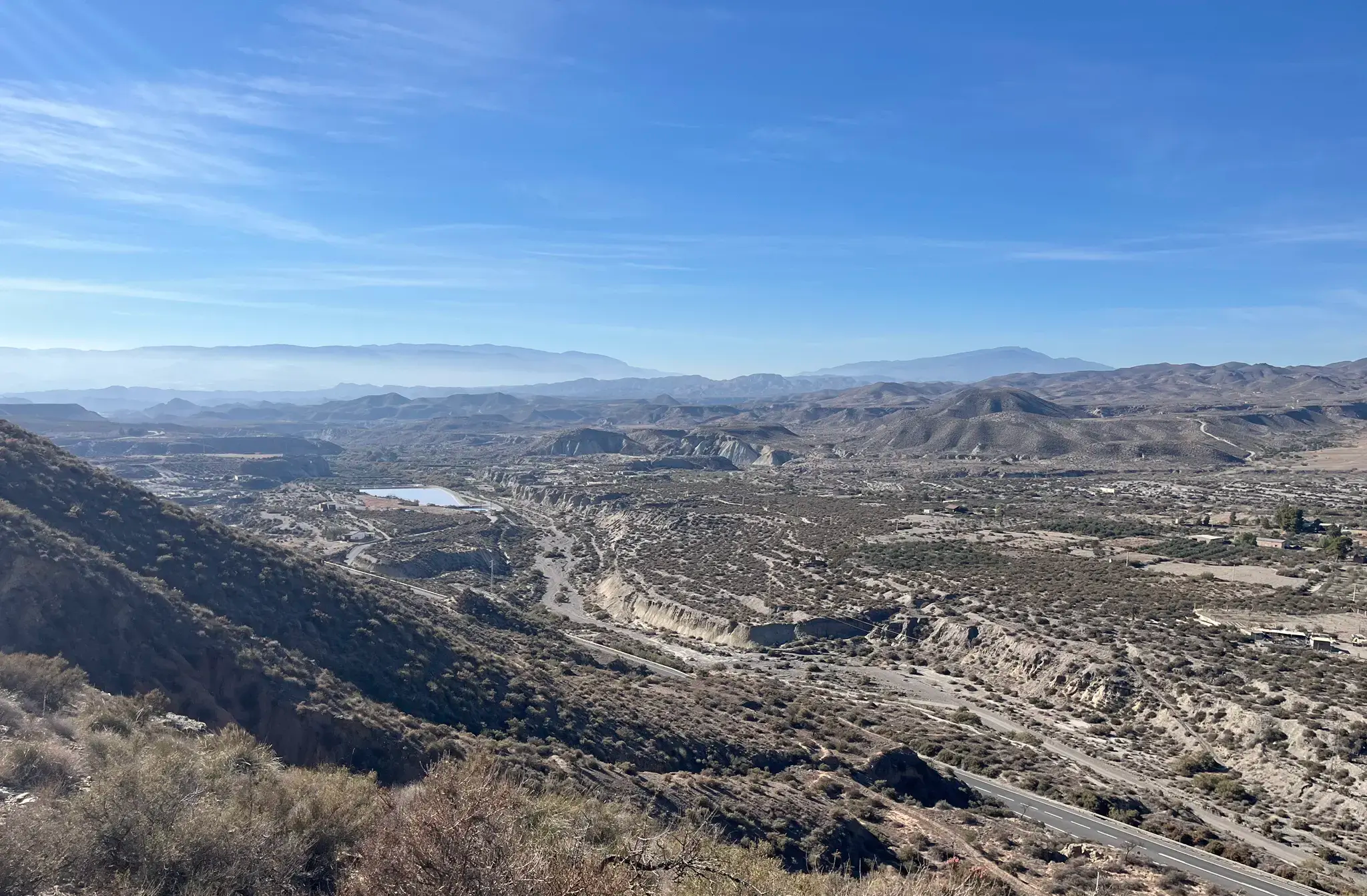
Discover the secrets of Almeria - Inland Villages (GR 244)
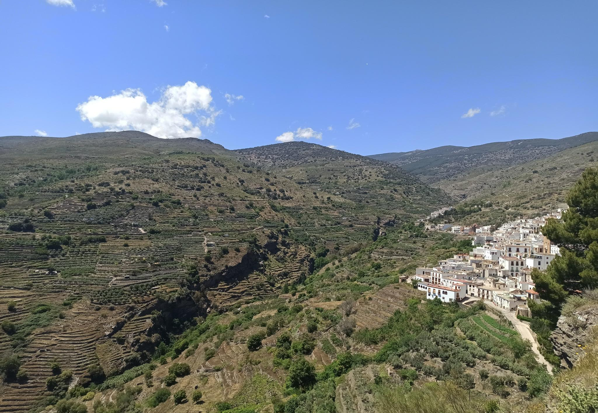
Among white villages - Path of the Alpujarra (GR 142)
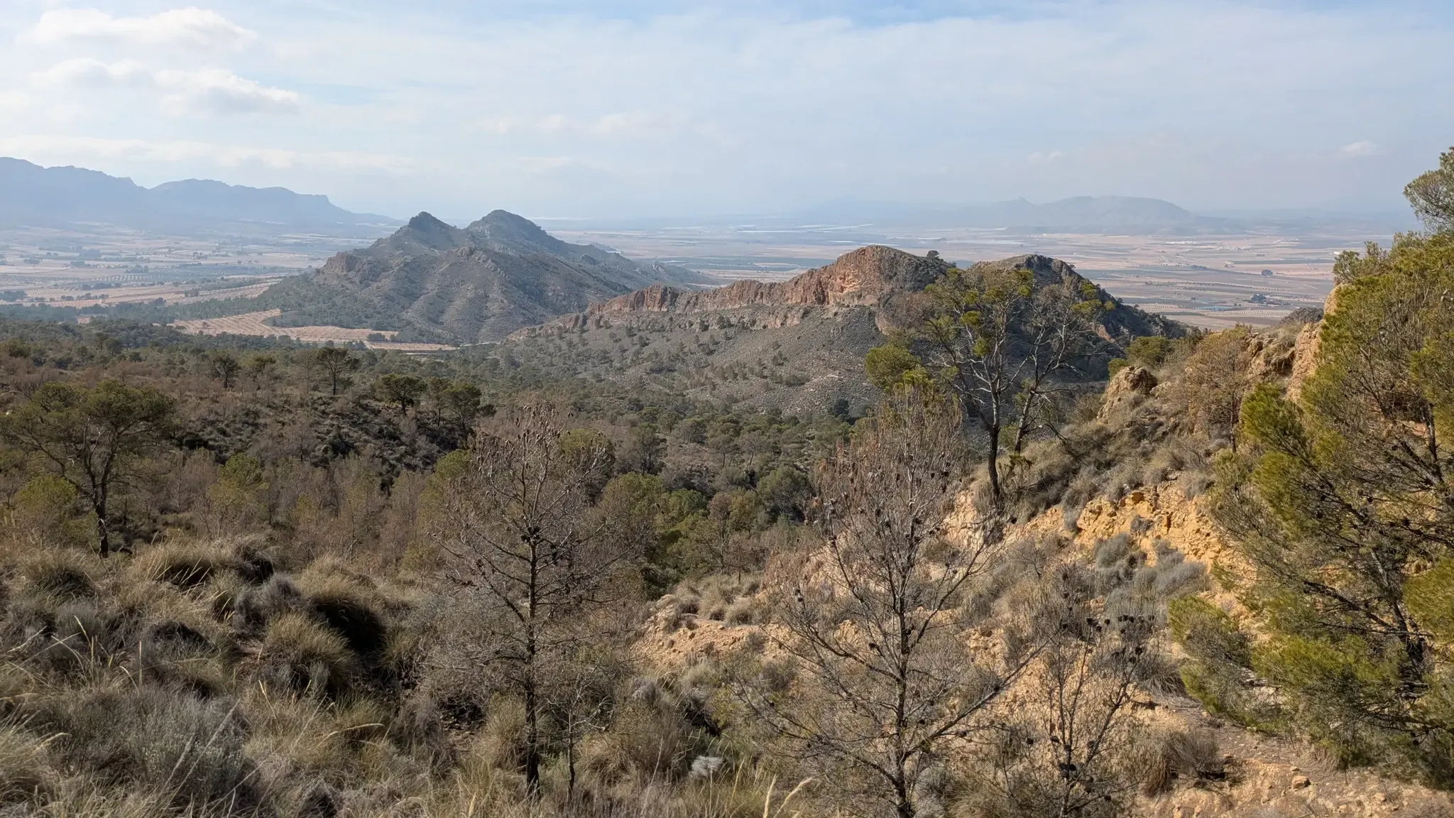
Path of the Cross of the Altiplano – GR 251

12 hiking gems throughout Spain
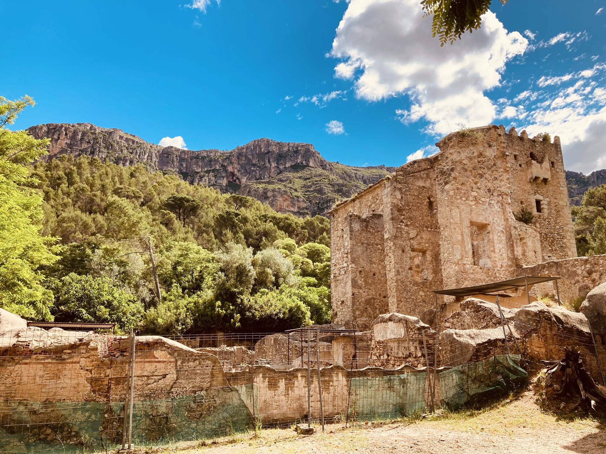
A spiritual walk - Monasteries of Valencia Route (GR 236)
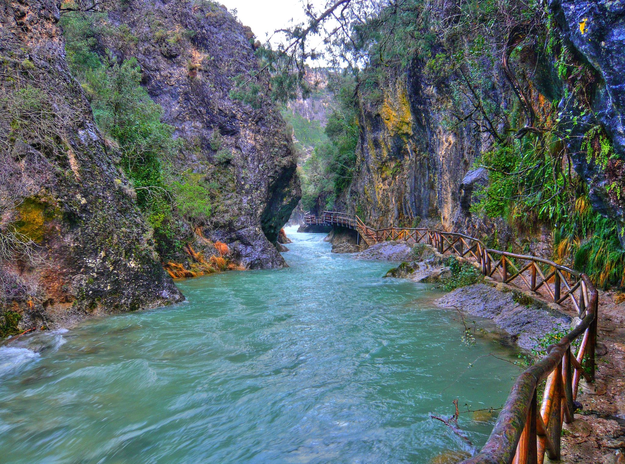
Through the Borosa Gorge to the highest peak of the Sierra de Segura
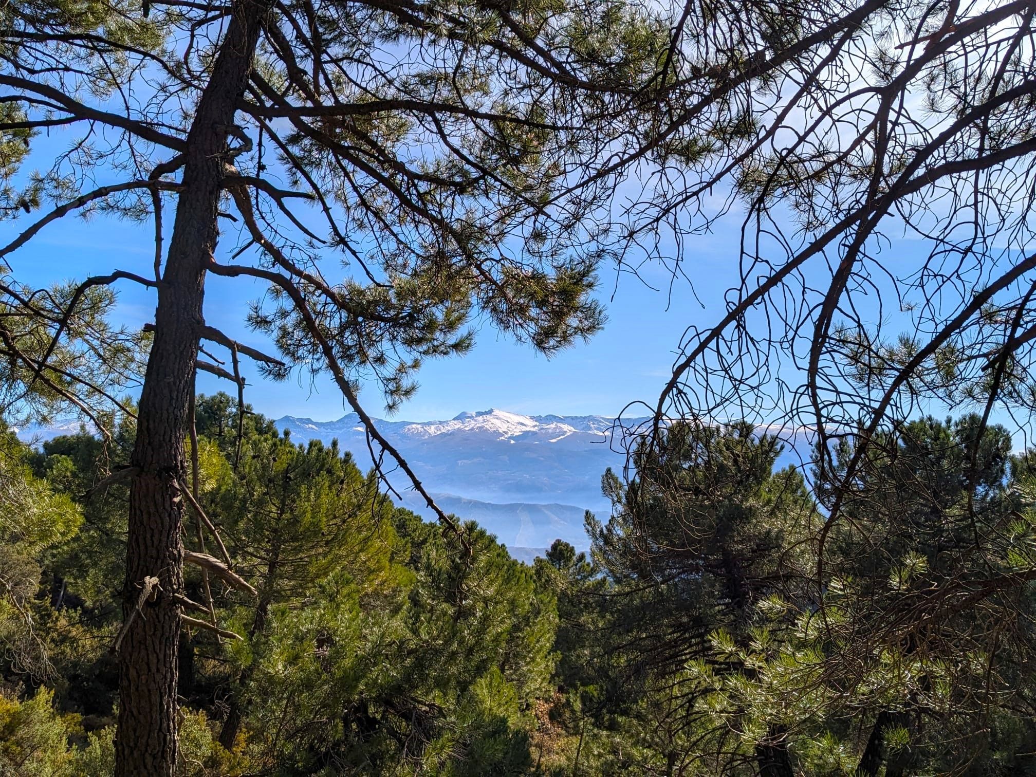
La Vega de Granada – walks a stone's throw from the city
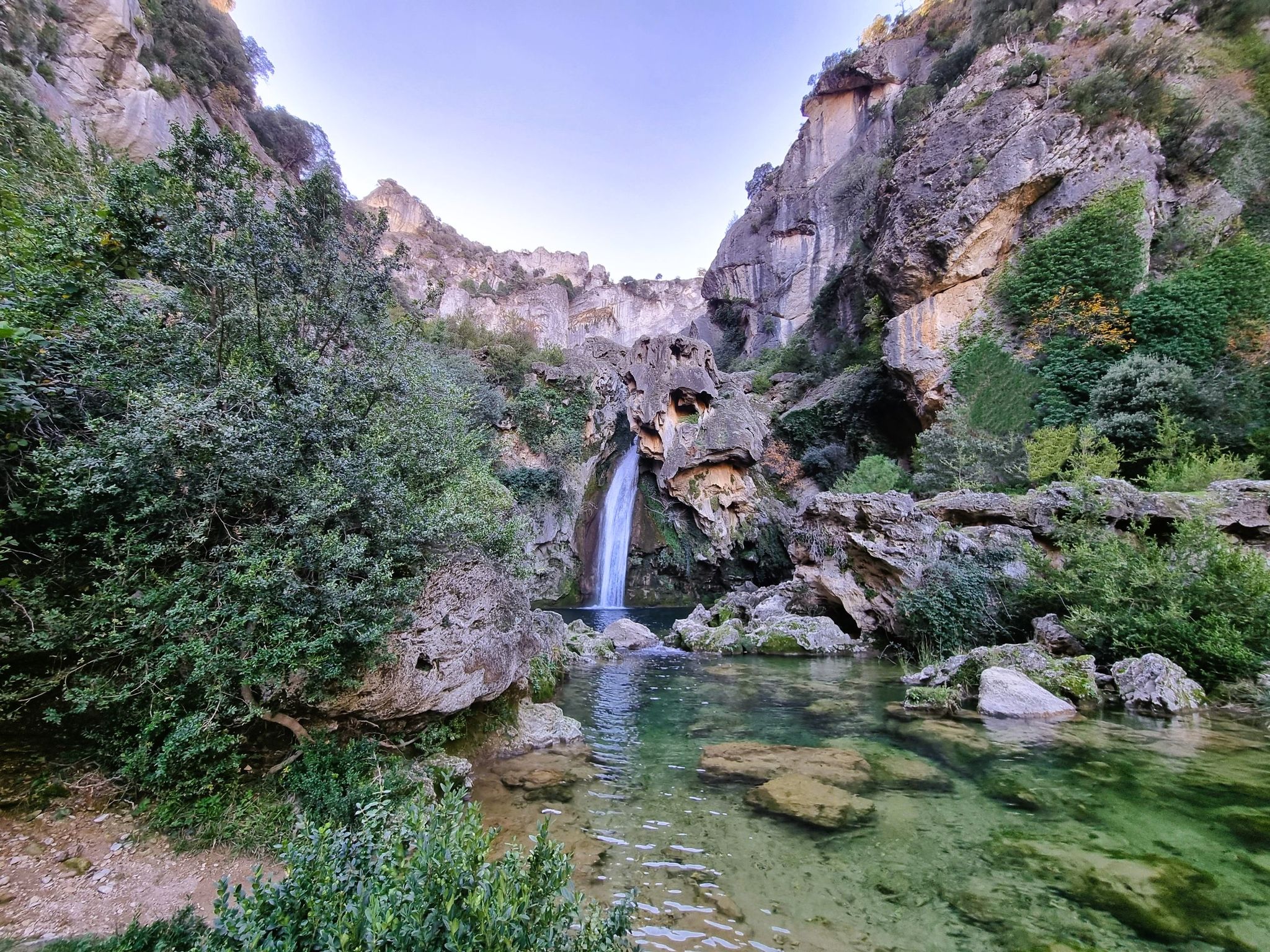
Jaén, inland paradise – three Tours from Cazorla
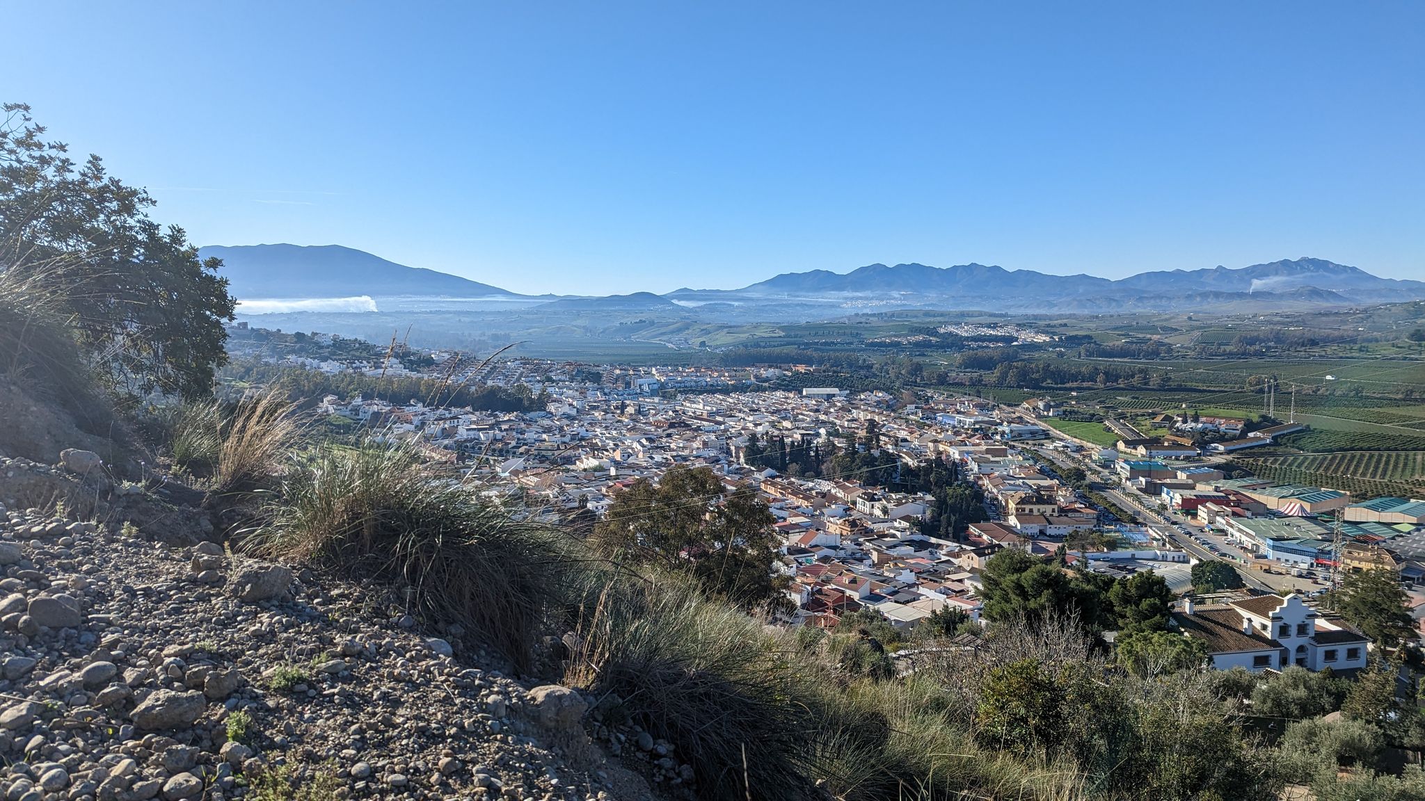
River path to the sea in Andalusia – Gran Senda del Guadalhorce (GR 248)
Other adventures in the Baetic System Mountains


Tips from the Community

El Salto de la Rejía is the highest natural waterfall in the province of Málaga. It is not a single drop but three chained falls that cascade over the rocks. The best time to visit is autumn or spring, when the flow is at its peak. In summer the water dwindles considerably, although the surroundings are still worth a visit. A tip: approach the viewpoint on the trail before descending to the base, from above you get the most complete perspective of the three falls at once.
1
0
El Charco de la Virgen is a natural pool fed by an 18-meter waterfall in the bed of the río de los Caballos river. To reach the last section, you have to enter the riverbed itself and advance by jumping between rocks. In summer it is a very popular destination for swimming, although it should be noted that the place is shady and the water remains cold almost all year round. If the summer has been dry, the flow may be disappointing: the best time to see it with its full force is spring.
1
0
The Guadalmina gorge, also known as Las Angosturas, is one of the most refreshing spots in Benahavís and in summer it is common to see people bathing or doing the water route. If you dare to enter the water, wear closed-toe shoes with good grip and keep in mind that some sections can be deep and require swimming.
1
0
This wooden bridge over the Guadalmina river is one of the most photogenic spots on this trail.
1
0


An impressively beautiful wooden construction.
0
0
A wonderful path to enjoy!
0
0

The Balcon de Crystal is a small balcony with a transparent plexiglass floor. Therefore, a maximum of 4 people are allowed on the balcony at any one time.
4
0
Frequently Asked Questions
What kind of hiking difficulty can I expect in the Baetic System Mountains?
The Baetic System Mountains offer a wide range of hiking difficulties. You'll find over 2,800 easy routes, more than 5,100 moderate trails, and around 1,500 difficult paths. This diverse terrain ensures options for all experience levels, from gentle walks to challenging alpine ascents.
Are there any particularly challenging hikes for experienced trekkers?
Yes, for experienced trekkers seeking a challenge, the Baetic System Mountains offer several demanding routes. Consider The Cathedral of Hiking (PR-CV 147), a difficult 13.7 km trail with significant elevation gain. Another option is the Río Borosa Trail, a difficult 18.6 km route leading through impressive landscapes. The region's highest peaks, such as Mulhacén in the Sierra Nevada, also offer strenuous climbs.
Can I find easy, family-friendly trails in the Baetic System Mountains?
Absolutely. The Baetic System Mountains provide many easy trails suitable for families. For example, the Sendero Acequia del Guadalmina – circular route is an easy 4.6 km path, perfect for a relaxed outing. Many natural parks within the system, like Sierras de Cazorla, Segura, and Las Villas, also feature well-maintained, less strenuous paths.
Where can I find waterfalls or impressive gorges in the Baetic System Mountains?
The region is renowned for its spectacular gorges and water features. You can explore the dramatic Los Cahorros Gorge, Monachil, which is part of the popular Los Cahorros de Monachil Loop. Another notable spot is the Elche Reservoir and Waterfall. The Parque Nacional de la Sierra de las Nieves – loop by the Cascadas Trail (PR-A 282) also offers opportunities to see cascades.
Are there options for circular hikes in the region?
Yes, many trails in the Baetic System Mountains are designed as circular routes, allowing you to start and end at the same point. Examples include the easy Sendero Acequia del Guadalmina – circular route, and the moderate Parque Natural Los Alcornocales – circular via the Buddha Trail. These routes are convenient for day trips.
What are some notable natural features or landmarks to see while hiking?
Beyond the trails, the Baetic System Mountains are rich in natural and historical landmarks. You can encounter the dramatic limestone formations of the Sierra de Grazalema Natural Park, or the unique desert landscape of the Barrancos de Gebas. The region is also home to the highest peak in continental Spain, Mulhacén, in the Sierra Nevada. Don't miss the iconic Puente Nuevo (New Bridge) in Ronda, offering stunning views.
What do other hikers enjoy most about hiking in the Baetic System Mountains?
The Baetic System Mountains are highly rated by the komoot community, with an average score of 4.5 stars from over 47,700 reviews. Hikers frequently praise the stunning contrasts of alpine-like peaks and intricate limestone gorges, the rich biodiversity, and the extensive network of trails that cater to all abilities. The breathtaking views, especially from higher elevations, are also a common highlight.
Is it possible to hike with dogs in the Baetic System Mountains?
Many areas within the Baetic System Mountains are dog-friendly, but regulations can vary by specific natural park or protected area. It's generally advisable to keep dogs on a leash, especially in areas with wildlife or livestock. Always check the specific rules for the trail or park you plan to visit beforehand to ensure a pleasant experience for you and your dog.
What is the best time of year to go hiking in the Baetic System Mountains?
The best time to hike in the Baetic System Mountains largely depends on the elevation and your preferred activity. Spring (April-May) and autumn (September-October) generally offer pleasant temperatures and vibrant landscapes, ideal for most trails. In summer, higher altitude routes in areas like the Sierra Nevada provide a cooler escape, while lower-lying trails can be very hot. Winter offers opportunities for snowshoeing or challenging hikes in the high mountains, but requires appropriate gear and experience.
Are there any multi-day hiking opportunities in the Baetic System Mountains?
Yes, the extensive nature of the Baetic System Mountains, with its numerous natural parks and diverse terrain, lends itself well to multi-day hiking. While specific multi-day routes aren't listed here, you can combine shorter trails or explore longer sections within areas like the Sierra Nevada National Park or Sierras de Cazorla, Segura, and Las Villas Natural Park. There are also shelters and huts available, such as the Carihuela Bivouac Shelter or Campo del Espino Shelter, for overnight stays.
What are the options for public transport or parking near hiking trails?
Public transport options vary significantly across the vast Baetic System Mountains. Major towns and cities often have bus connections to some trailheads, particularly in more popular areas like the Sierra Nevada. However, for many remote trails, a car is recommended. Parking is generally available near popular trailheads and visitor centers, though it can be limited during peak season. Always check specific access information for your chosen route.
Are there any trails that feature unique geological formations?
The Baetic System is famous for its complex geological structure, particularly its limestone formations. The Sierra de Grazalema Natural Park is especially known for its karst landscapes, featuring caves, sinkholes, and rugged peaks. The Barrancos de Gebas also offer a unique, almost lunar landscape with gorges and sandy ravines, showcasing the region's diverse geology.
Most popular routes in the Baetic System Mountains
Most popular attractions in the Baetic System Mountains

Get inspired with the komoot mobile app


Explore more
Browse the best Hikes in other regions.
