Top 6 Mountain Passes around Saint-Cernin
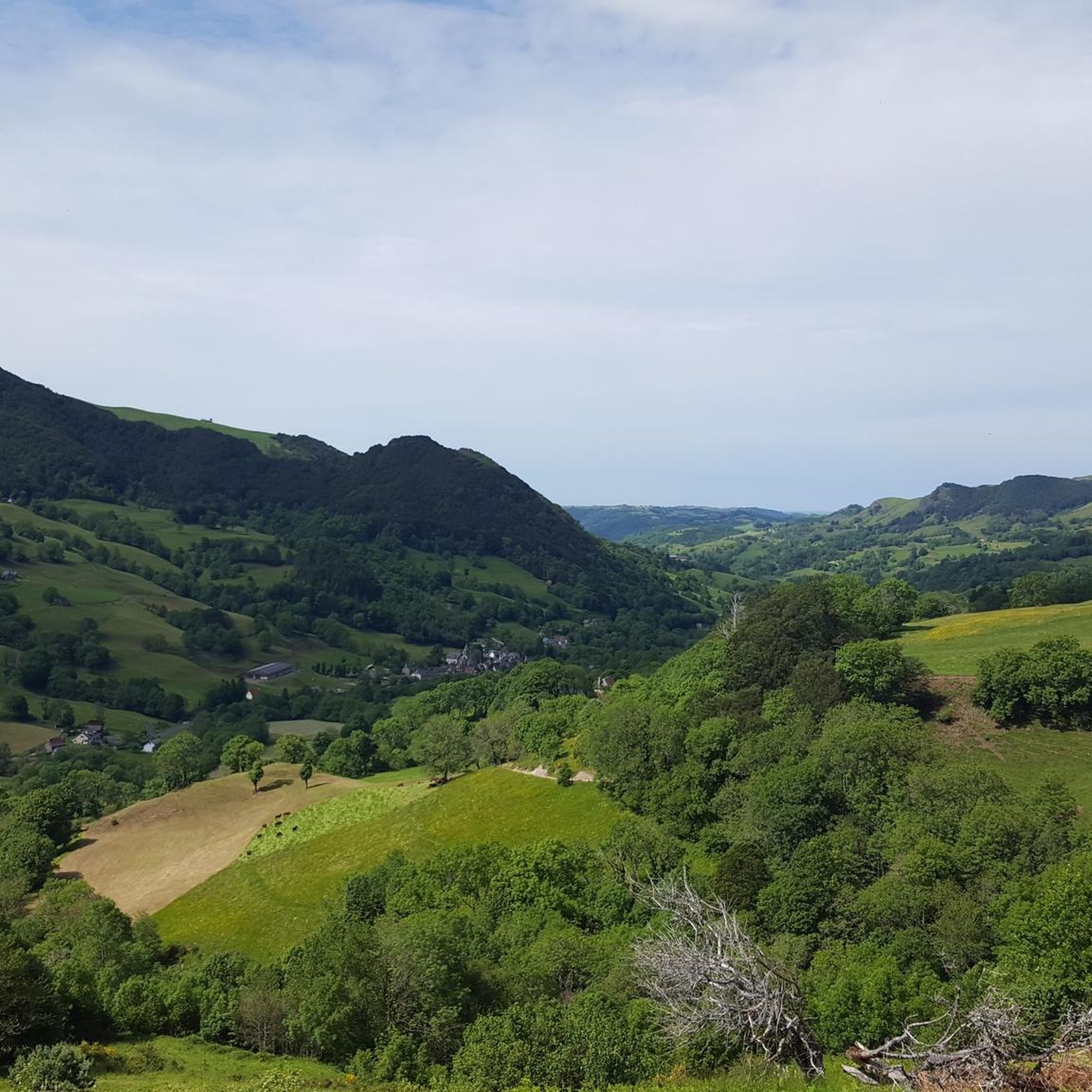
Best mountain passes around Saint-Cernin are situated in a region characterized by its volcanic landscape and valleys, such as the Doire and Bertrande. The area features a network of mountain passes and ridge roads, offering routes through the Pays de Salers. These passes often connect different valleys and provide access to various points of interest. The terrain includes both challenging climbs and more moderate sections suitable for exploration.
Best mountain passes around Saint-Cernin
- The most popular mountain passes is Col…
Last updated: October 13, 2026
Ascent of the Pas de Peyrol / Puy Mary from Salers
Highlight (Segment) • Mountain Pass
Translated by Google •
Tip by

Col de Légal
Highlight • Mountain Pass
Summit Inn open all year round
Translated by Google •
Tip by

Sign up now to discover places like this
Get recommendations on the best single tracks, peaks, & plenty of other exciting outdoor places.
Col de la Croix de Cheules
Highlight • Mountain Pass
Translated by Google •
Tip by

Col de Saint-Georges (954 m)
Highlight • Mountain Pass
Translated by Google •
Tip by

Col du Grangeou and Col du Bruel
Highlight (Segment) • Mountain Pass
Translated by Google •
Tip by

Start today with a free account
Your next adventure awaits.
Tips from the Community

This climb captures everything Auvergne has to offer. Starting in the charming and famous village of Salers, it ends at another symbol of this region known for its volcanoes: Puy Mary. On the bike side, it's a 23-kilometer climb with an average gradient of 3.7%. Be careful, however, as this low gradient is due to the long, five-kilometer flat stretch after the Col de Néronne. Save your energy for the last two kilometers, which are formidable, with a gradient that never drops below 10%.
2
0

Rain, visibility 1m, but otherwise great
0
0

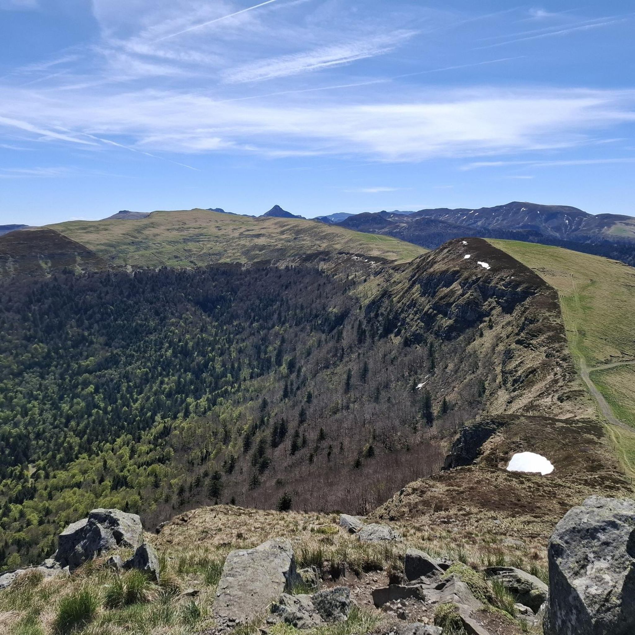
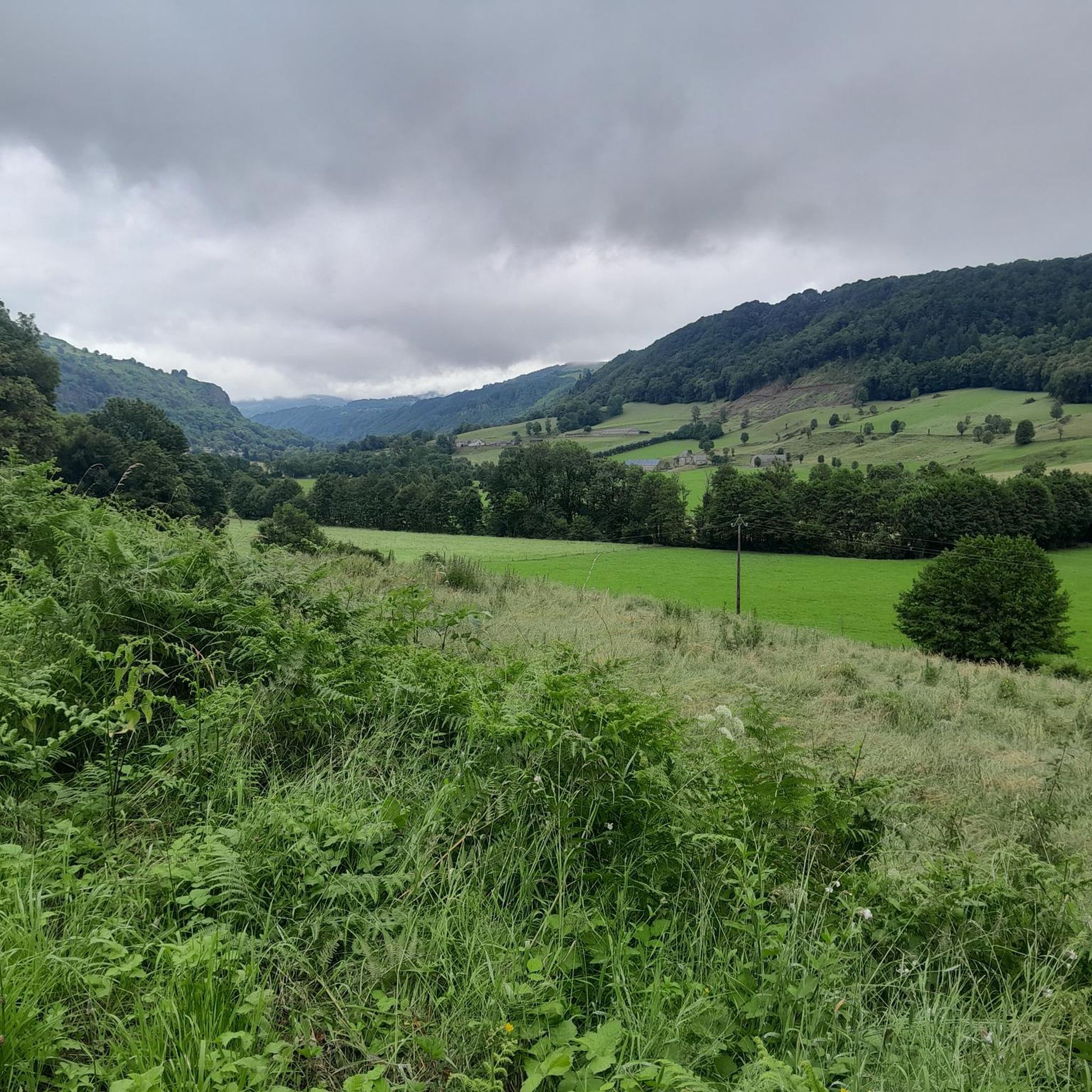
Col de Légal, at an altitude of 1,231 meters, on the beautiful Route des Crêtes. It allows you to go from the Doire valley to the Bertrande valley, in the heart of the Pays de Salers. There you will find a small inn open all year round.
0
0

A truffade a sweet/salty pancake
0
0

At 954 meters, the Col Saint-Georges is a 2.8 kilometer long climb from Saint Projet de Salers with an elevation gain of 153 meters and an average gradient of 5.5%.
0
0


Inevitable crossing point of the ridge road from which we can consider a lot of options for our outings with the added possibility of a gourmet and refreshing stopover. 🍻
0
0

magnificent crossing point
0
0
Frequently Asked Questions
What makes the mountain passes around Saint-Cernin unique?
The mountain passes in this region are characterized by a distinctive volcanic landscape and picturesque valleys like the Doire and Bertrande. They form a network of roads and ridge routes through the Pays de Salers, offering diverse terrain from challenging climbs to more moderate sections.
Which mountain passes offer the most scenic views?
For breathtaking vistas, consider the Col de Saint-Georges (954 m), which features a dedicated viewpoint. The Col de Légal and Route des Crêtes also offers incredible views of the mountain range during its ascent and gentle descent.
Are there challenging mountain pass routes for experienced cyclists or hikers?
Yes, for a significant challenge, the Ascent of the Pas de Peyrol / Puy Mary from Salers is a 23-kilometer climb with an average gradient of 3.7%, featuring formidable sections with gradients over 10% in the last two kilometers. The Col de Saint-Georges (954 m) also involves a 2.8-kilometer climb with an elevation gain of 153 meters.
Are there any mountain passes with facilities like inns or places to eat?
Yes, the Col de Légal features a summit inn that is open year-round. Additionally, the Col de la Croix de Cheules is a popular crossing point that offers possibilities for a gourmet and refreshing stopover.
What outdoor activities can I do near these mountain passes?
The area around Saint-Cernin offers a variety of outdoor activities. You can explore numerous road cycling routes, including challenging ascents and scenic loops. There are also extensive MTB trails and diverse hiking paths suitable for various skill levels.
Are there any family-friendly mountain passes or routes suitable for all ages?
While specific 'family-friendly' categories aren't listed for individual passes, the region is known for offering a variety of mountain passes that cater to different activity levels, including more moderate sections. Many of the nearby hiking routes, such as the 'Chapelle de Roquenatou loop from Marmanhac' (4.2 km, easy), could be suitable for families.
What is the best time of year to visit the mountain passes around Saint-Cernin?
The best time to visit is generally from late spring to early autumn (May to October) when the weather is mild, and the passes are fully accessible. This period offers ideal conditions for cycling, hiking, and enjoying the scenic landscapes.
Can I find circular walks or loop trails that incorporate mountain passes?
Yes, several nearby routes offer circular options. For road cycling, consider the 'Tour of Puy de Girgols via the Col de la Croix de Cheules - loop'. For hiking, the 'Saint-Cernin loop from Saint-Cernin' is a moderate 14.4 km option. You can find more details on hiking around Saint-Cernin.
What kind of wildlife can I expect to see near the mountain passes?
The volcanic landscapes and valleys of the Cantal region, where Saint-Cernin is located, are home to diverse wildlife. You might spot various bird species, including birds of prey, as well as local mammals like deer and marmots, especially in quieter, less frequented areas.
What do visitors enjoy most about the mountain passes in this area?
Visitors particularly appreciate the diverse terrain, from challenging climbs to scenic viewpoints. The region's unique volcanic landscape and the opportunity to explore the Pays de Salers are highly valued. The community has contributed numerous photos and upvotes, highlighting the beauty and variety of the passes.
Are there any specific tips for cycling the mountain passes?
When cycling, be prepared for varied gradients. For example, the Ascent of the Pas de Peyrol / Puy Mary from Salers has a long flat stretch after the Col de Néronne, so save energy for the steep final kilometers. The Col de Légal and Route des Crêtes is noted for its good surface and wonderful views.
Most popular attractions around Saint-Cernin

Get inspired with the komoot mobile app


Explore more
See even more epic mountain passes by checking out these guides around Saint-Cernin:
