The best MTB trails around Saint-Cernin
4.4
(67)
344
riders
50
rides
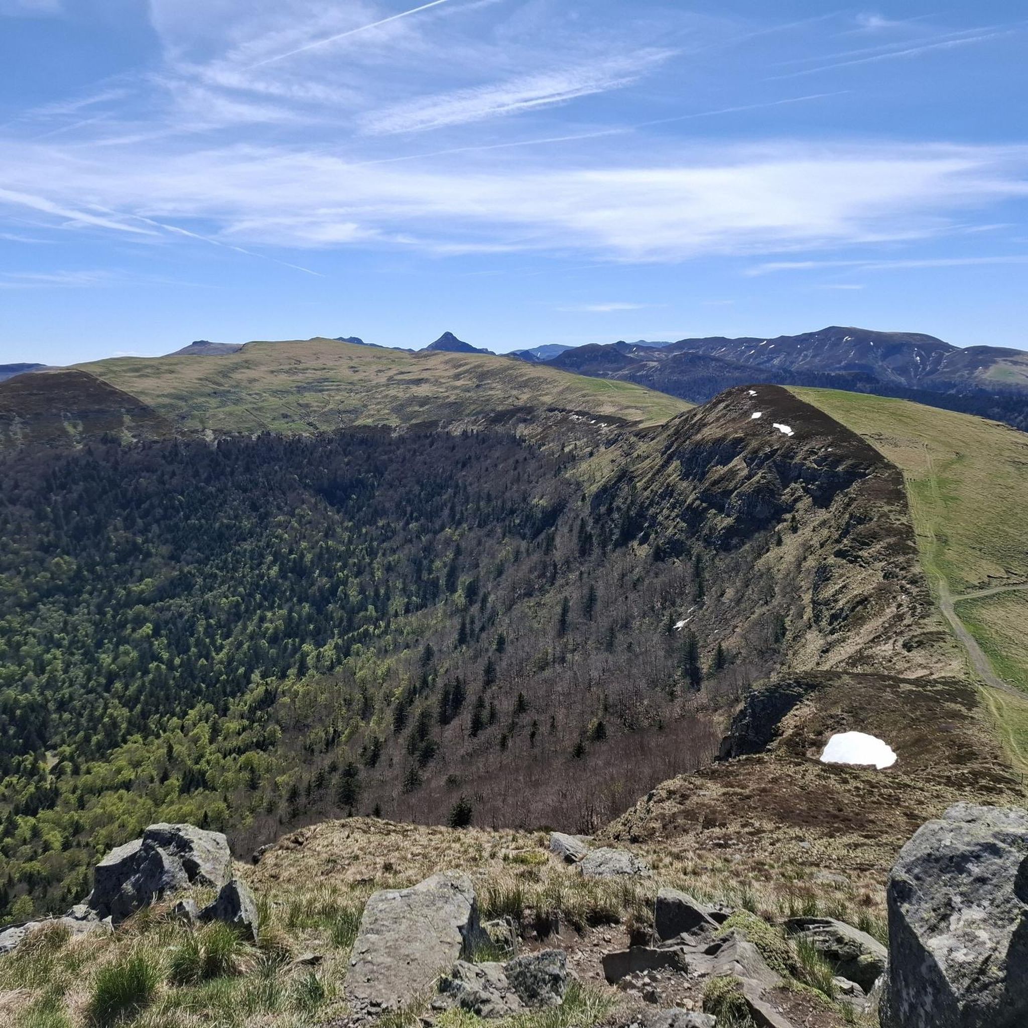
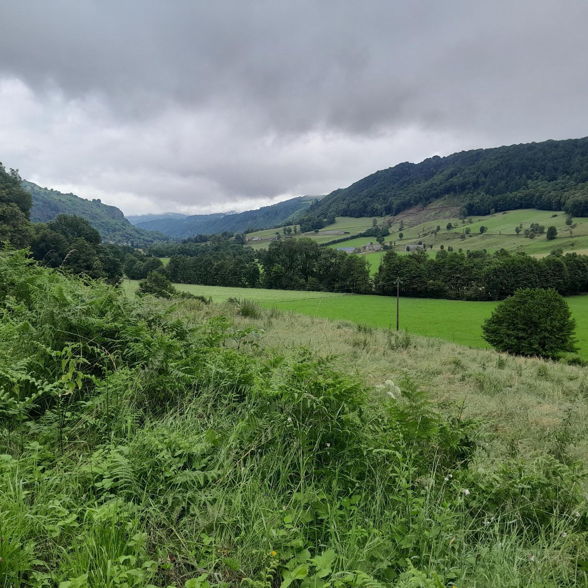
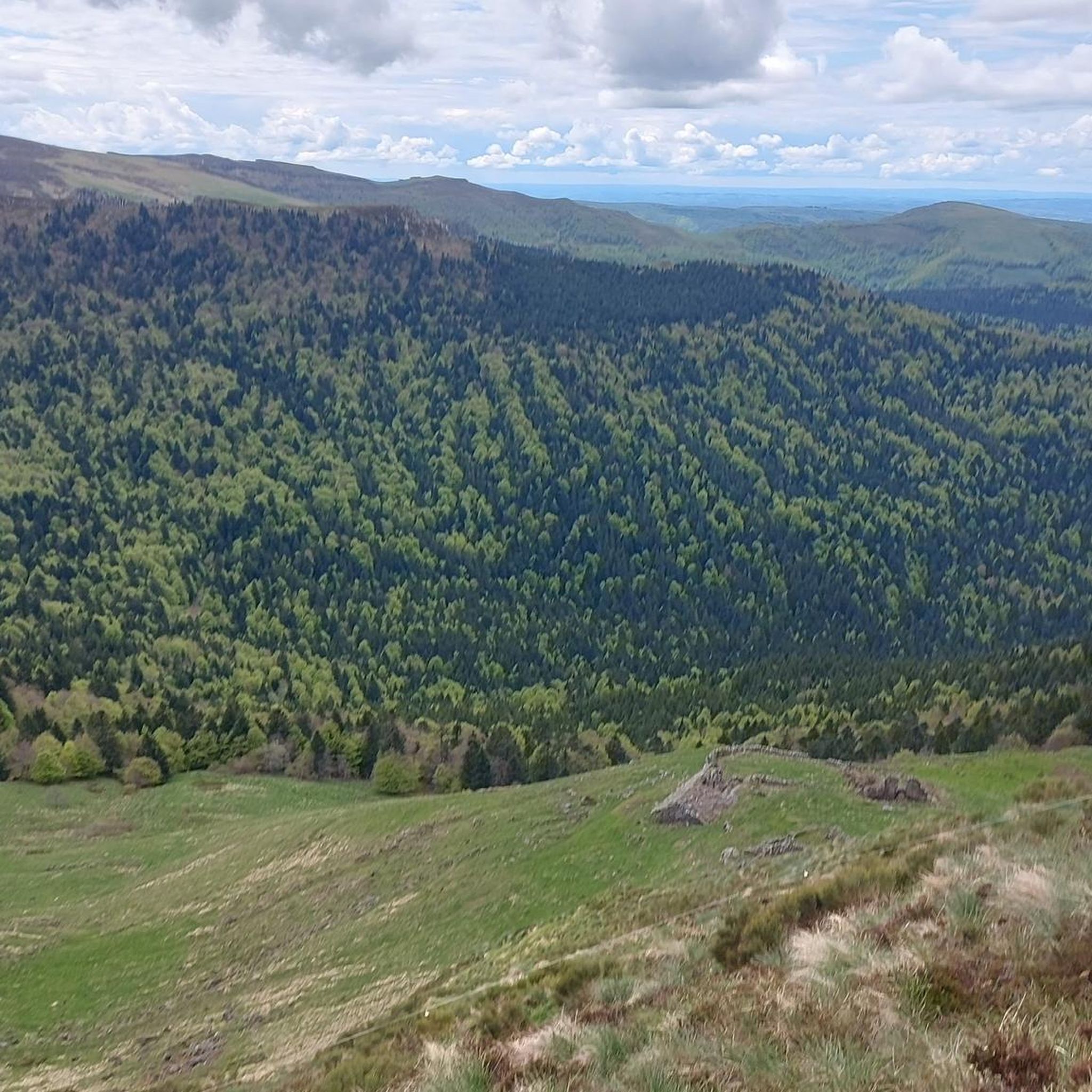
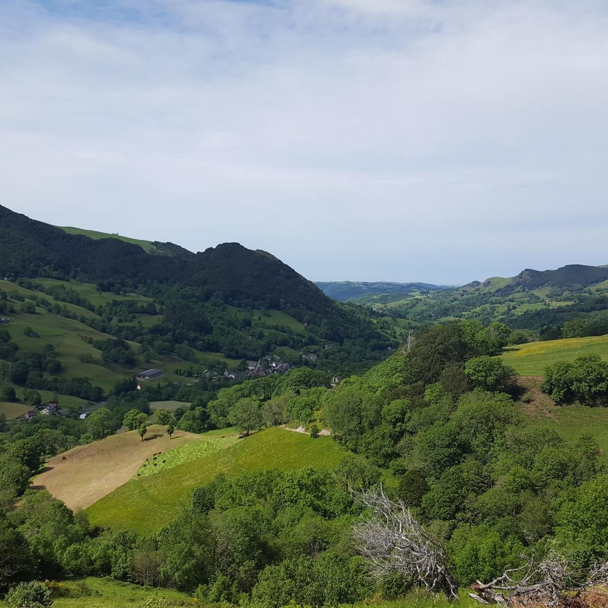
Mountain biking around Saint-Cernin offers diverse terrain shaped by its volcanic past, nestled on the western flank of the Cantal volcano. The region features a landscape of high plateaus, mountains, and forests, characteristic of the Hautes Terres du Cantal. Trails traverse picturesque pastures, meadows, and dense woodlands, providing varied environments for mountain bikers. This area serves as a gateway to the Volcanic Natural Park, offering extensive trail networks across distinct volcanic chains and reliefs.
Best mountain bike trails around Saint-Cernin
…Last updated: October 16, 2026
3.6
(5)
41
riders
51.6km
04:29
1,160m
1,160m
Hard mountain bike ride. Very good fitness required. Suitable for all skill levels.
5.0
(1)
15
riders
35.9km
03:03
670m
670m
Moderate mountain bike ride. Good fitness required. Suitable for all skill levels.

9
riders
40.6km
03:29
930m
930m
Hard mountain bike ride. Very good fitness required. Suitable for all skill levels.
4.0
(2)
10
riders
22.3km
01:41
530m
530m
Moderate mountain bike ride. Good fitness required. Suitable for all skill levels.
5.0
(1)
5
riders
51.2km
03:26
900m
900m
Moderate mountain bike ride. Good fitness required. Suitable for all skill levels.
Get access to more routes and recommendations from other explorers.
Already have an account?
Our route recommendations are based on thousands of hikes, rides, and runs completed by other people on komoot.
Start today with a free account
Your next adventure awaits.
Tips from the Community

At least 5 possibilities to climb it. Only the direct ascent via Falgoux is difficult with 4 km at an average of 9%. But the view is not extraordinary in the forest.
0
0

Either stressful or relaxed from Puy Mary.
1
0
Great scenery, beautiful road, beautiful views. Perfect for a downhill ride.
1
0

Quickly move through the landscape on the balcony.
2
0

Salers is a municipality in the Cantal department in the Auvergne-Rhône-Alpes region. The town is a completely preserved small town from the Renaissance period, with private and public buildings, city walls, defensive towers and a church. It was included in the association of the most beautiful villages in France. Despite its small population of around 300 inhabitants, the town is a historical, cultural and agricultural center in the sparsely populated mountain region of the Monts du Cantal. Source: https://de.wikipedia.org/wiki/Salers
3
0

From Salers, a pass with low percentages but with a magnificent view of the Santoire valley.
1
0

Classified among the “Most Beautiful Villages of France”, Salers is perched at an altitude of 950 meters, in the heart of the Cantal mountains. Its reputation is due to its terroir but also to its medieval heritage. Discover the volcanic stones of this small town and don't miss out on tasting Salers meat, renowned for its unique flavor.
1
0
Frequently Asked Questions
How many mountain bike trails are available around Saint-Cernin?
Saint-Cernin offers a wide selection of mountain bike trails, with over 50 routes recorded. These include 4 easy, 27 moderate, and 20 difficult trails, catering to various skill levels.
What kind of terrain can I expect on mountain bike trails near Saint-Cernin?
The terrain around Saint-Cernin is incredibly diverse, shaped by its volcanic past. You'll encounter high plateaus, mountains, and forests, characteristic of the Hautes Terres du Cantal. Trails often traverse picturesque pastures, meadows, and dense woodlands, providing varied environments from smooth paths to technical sections.
Are there mountain bike trails suitable for beginners in Saint-Cernin?
Yes, Saint-Cernin has 4 easy mountain bike trails that are well-suited for beginners or those looking for a more relaxed ride. These routes typically feature less challenging terrain and elevation changes.
Are there challenging mountain bike trails for experienced riders in the Saint-Cernin area?
Absolutely. For experienced riders seeking a challenge, there are 20 difficult mountain bike trails. Routes like the Petit Pont loop from Jussac, at 32.1 miles (51.6 km) with over 1100 meters of elevation gain, offer significant climbs and varied terrain.
What are some scenic mountain bike trails with good views around Saint-Cernin?
Many trails offer superb views of the Monts du Cantal and the surrounding volcanic landscape. The Route du Puy Mary – Neronne Pass loop from Salers is a moderate 31.8-mile (51.1 km) path that provides iconic views of the Puy Mary. Elevated points like the Croix de Saint-Pierre also offer panoramic vistas.
What interesting landmarks or attractions can I see along mountain bike trails near Saint-Cernin?
The region is rich in natural and historical sites. You can explore the charming village of Salers, or visit the dramatic Jordanne gorges. The Sédaiges Castle loop from Reilhac also passes through local countryside with historical interest.
Are there any loop mountain bike trails in Saint-Cernin?
Yes, many of the mountain bike trails around Saint-Cernin are designed as loops, allowing you to start and finish at the same point. Examples include the Petit Pont loop from Jussac and the Pastourelle – Salers / Puy Mary loop from Fontanges.
What do other mountain bikers enjoy most about mountain biking in Saint-Cernin?
The area is highly rated by the komoot community, with an average score of 4.3 stars from over 40 reviews. Mountain bikers often praise the diverse volcanic landscapes, the variety of trails for different skill levels, and the stunning views of the Monts du Cantal.
When is the best time of year for mountain biking in Saint-Cernin?
The spring, summer, and early autumn months generally offer the best conditions for mountain biking in Saint-Cernin. During these periods, the weather is typically more favorable, and the trails are less likely to be affected by snow or excessive mud, allowing for optimal riding experiences across the volcanic terrain and high plateaus.
Is there dedicated infrastructure for mountain biking in the Saint-Cernin area?
Yes, Saint-Cernin is part of a region with well-developed mountain biking infrastructure. The area is recognized as a 'Base VTT FFCT Cantal VTT Découverte', indicating designated routes and facilities for the sport. You can find more information on the local tourism website: salers-tourisme.fr.
Are there mountain bike trails that pass through forests or woodlands?
Yes, the landscape around Saint-Cernin includes extensive forests and woodlands. Many trails traverse these areas, offering shaded sections and a different riding experience compared to the open pastures and high plateaus. The region's diverse environment ensures a mix of forest paths and open terrain.
Most popular attractions around Saint-Cernin

Get inspired with the komoot mobile app


Explore more
Browse the best MTB trails in other regions.
