The best road cycling routes around Saint-Cernin
4.5
(87)
3,067
riders
124
rides
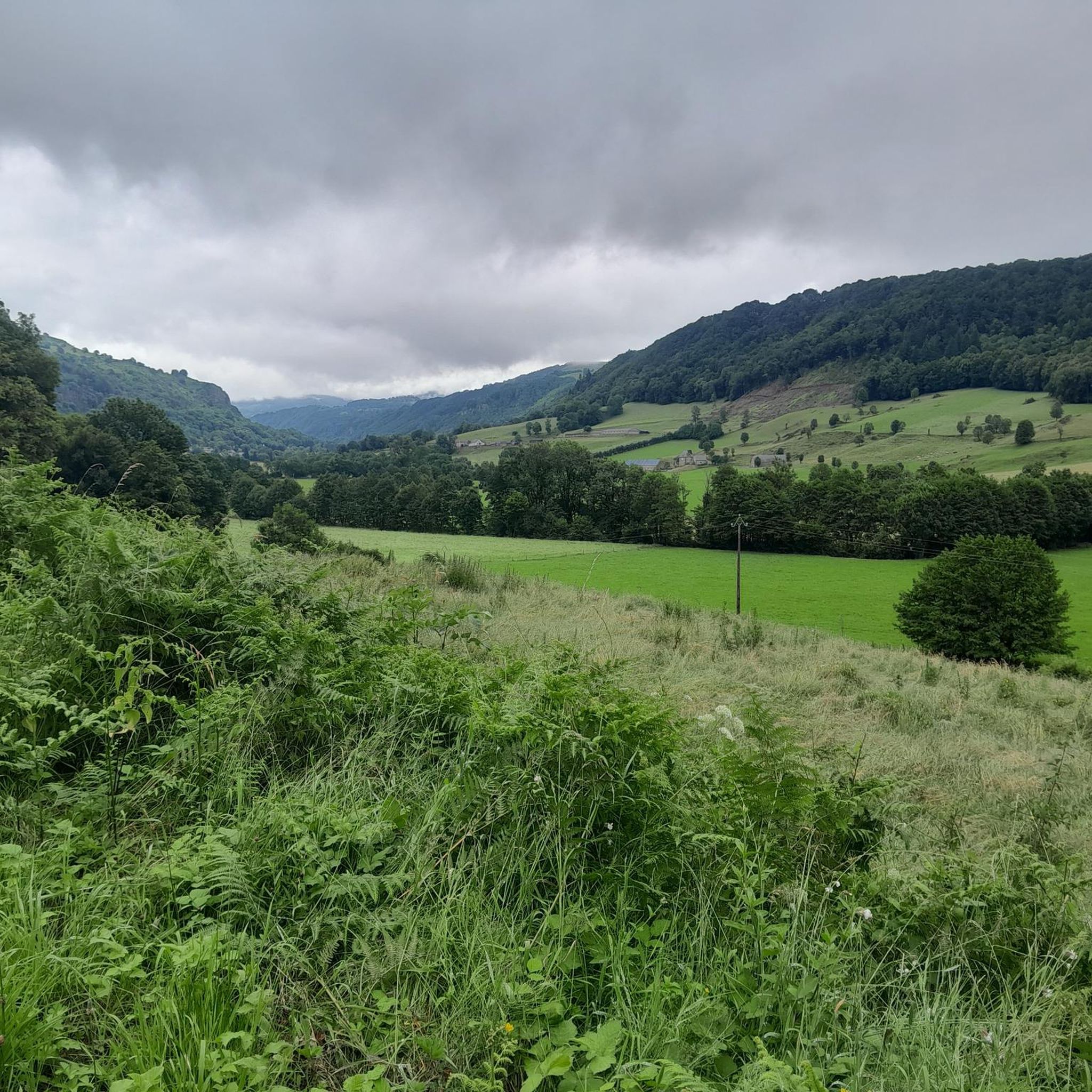
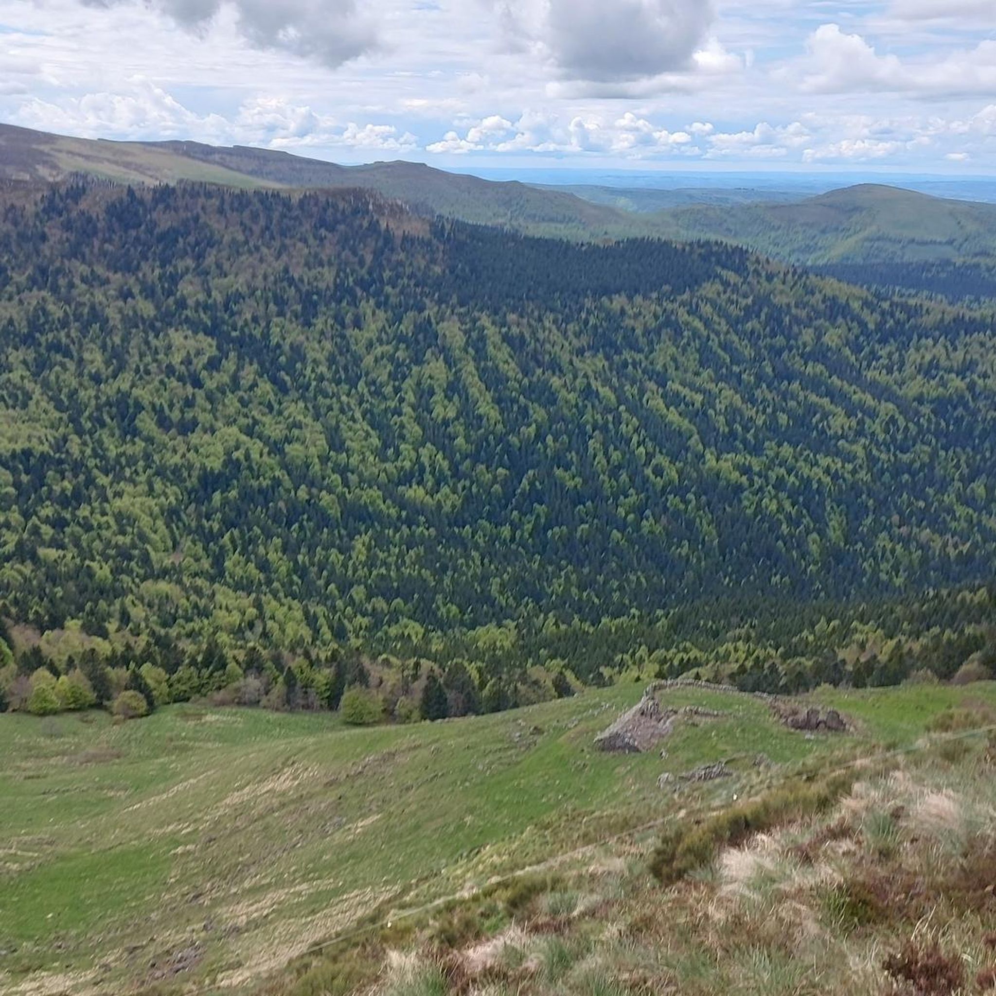
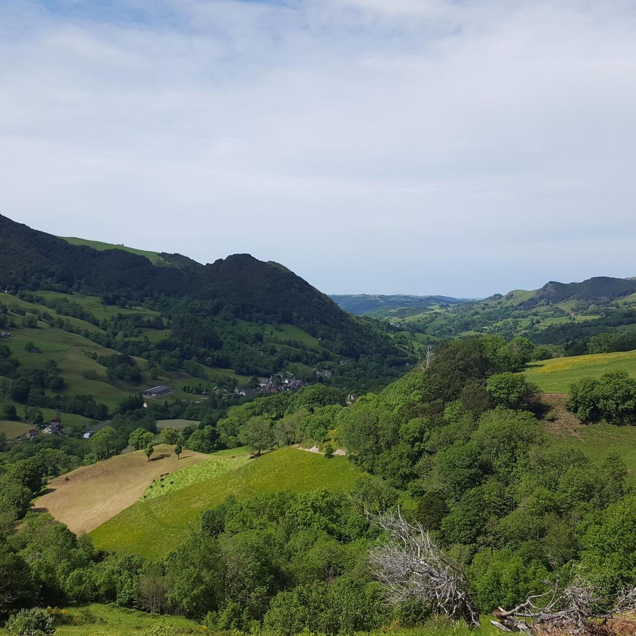
Road cycling around Saint-Cernin is characterized by diverse landscapes within the Cantal department of France. The region is situated at the southern gateway to the Pays de Salers, on the western flank of the Cantal volcano, offering views of the Monts du Cantal. The Doire River carves the Saint-Cernin valley, marking the entrance to the Volcanic Natural Park, which features picturesque hamlets and plateaus. The Jordanne Valley, a glacial valley, also provides a lush green environment for cycling.
Best road…
Last updated: October 17, 2026
5.0
(1)
18
riders
43.4km
02:27
890m
880m
Moderate road ride. Good fitness required. Mostly well-paved surfaces and easy to ride.
4.9
(8)
231
riders
79.9km
04:32
1,770m
1,770m
Hard road ride. Very good fitness required. Mostly well-paved surfaces and easy to ride.

42
riders
43.4km
02:29
1,000m
990m
Hard road ride. Very good fitness required. Mostly well-paved surfaces and easy to ride.
5.0
(2)
25
riders
103km
05:37
2,020m
2,020m
Hard road ride. Very good fitness required. Mostly well-paved surfaces and easy to ride.
29
riders
79.5km
04:05
1,300m
1,300m
Hard road ride. Very good fitness required. Mostly well-paved surfaces and easy to ride.
Get access to more routes and recommendations from other explorers.
Already have an account?
Our route recommendations are based on thousands of hikes, rides, and runs completed by other people on komoot.
Start today with a free account
Your next adventure awaits.
Tips from the Community

At least 5 possibilities to climb it. Only the direct ascent via Falgoux is difficult with 4 km at an average of 9%. But the view is not extraordinary in the forest.
0
0

Either stressful or relaxed from Puy Mary.
1
0

Picturesque like Collonges la Rouge, Rocamadour or Locronan
0
0

nice little climb on a road bike far from everything with two small walls
0
0

Rain, visibility 1m, but otherwise great
0
0

It's steep but you absolutely have to do this pass because the landscape is magnificent.
1
0
Did it last week with the cycling friends. Splendor of a Col. 🤩
0
0
Frequently Asked Questions
How many road cycling routes are available around Saint-Cernin?
There are over 100 road cycling routes documented around Saint-Cernin, offering a wide variety of options for different skill levels and preferences. The komoot community has explored nearly 120 tours in the area.
What kind of terrain can I expect on road cycling routes in Saint-Cernin?
Road cycling in Saint-Cernin features diverse terrain, from the western flank of the Cantal volcano to the valleys carved by rivers like the Doire. You'll encounter well-paved roads, but some longer or more challenging routes might include unpaved segments. The region is characterized by volcanic landscapes, river valleys, and plateaus, offering varied ascents and descents.
Are there challenging road cycling routes for experienced cyclists?
Yes, Saint-Cernin offers numerous challenging routes for experienced cyclists. For instance, the Ascent to Pas de Peyrol – Pas de Peyrol Pass (1,589 m) loop from Saint-Chamant is a difficult 102 km route with over 2,000 meters of elevation gain. The ascent of the Pas de Peyrol/Puy Mary from Salers is a particularly notable challenge, with steep gradients in its final kilometers.
Are there easier road cycling routes suitable for beginners?
Yes, Saint-Cernin also caters to less experienced cyclists. There are 5 easy routes available, and many moderate options that can be completed in under two hours with around 300 meters of elevation gain. These routes often feature mostly well-paved surfaces, ideal for a more relaxed ride.
What scenic viewpoints can I find along road cycling routes in Saint-Cernin?
Many routes offer superb views of the Monts du Cantal, especially from elevated points like the Plateau at the Croix de Saint-Pierre. The region's volcanic landscape and river valleys, such as the Jordanne Valley, provide picturesque scenery throughout your ride. Consider routes that traverse the Volcanic Natural Park for stunning natural vistas.
What cultural or historical landmarks can I explore while road cycling?
The region is rich in cultural and historical sites. You can cycle through the medieval village of Salers, known for its historic houses and heritage. Within Saint-Cernin, you'll find the 12th-century Saint-Saturnin church, the Château du Cambon, and the ruined 14th-century keep tower of Marze. The Old castle of Crèvecœur – Salers loop from Saint-Chamant is a great option to visit Salers.
Are there loop road cycling routes available?
Yes, many of the road cycling routes around Saint-Cernin are designed as loops, allowing you to start and finish at the same point. For example, the popular Tour of Puy de Girgols via the Col de la Croix de Cheules - loop is a 43 km circular route offering views of the Monts du Cantal.
What do other road cyclists enjoy the most about road cycling in Saint-Cernin?
The area is highly rated by the komoot community, with an average score of 4.3 stars from over 50 reviews. Cyclists often praise the diverse volcanic landscapes, the scenic river valleys, and the variety of routes catering to different ability levels, from moderate rides to challenging ascents like the Pas de Peyrol.
What is the best time of year for road cycling in Saint-Cernin?
The best time for road cycling in Saint-Cernin is generally from spring to autumn. Summer offers pleasant conditions, though some challenging ascents might be more comfortable in the milder temperatures of late spring or early autumn. Always check local weather forecasts before heading out, especially when planning longer rides with significant elevation changes.
Are there any specific natural features to look out for on the routes?
Absolutely. The region is part of the Volcanic Natural Park, and you'll often find yourself cycling through areas shaped by ancient volcanic activity. The Doire River carves the Saint-Cernin valley, and the lush green Jordanne gorges offer a refreshing natural site with a path along the river, providing a unique natural experience.
Can I find routes that pass through mountain passes?
Yes, Saint-Cernin is close to several notable mountain passes. The Tour of Puy de Girgols via the Col de la Croix de Cheules - loop includes the Col de la Croix de Cheules. For a more significant challenge, the Ascent to Pas de Peyrol – Pas de Peyrol Pass (1,589 m) loop from Saint-Chamant will take you to the iconic Ascent of the Pas de Peyrol / Puy Mary from Salers, a symbol of the region's volcanic landscape.
Most popular attractions around Saint-Cernin

Get inspired with the komoot mobile app


Explore more
Browse the best Road cycling routes in other regions.
