The best running trails around Chauffayer
4.2
(18)
1,239
runners
76
runs
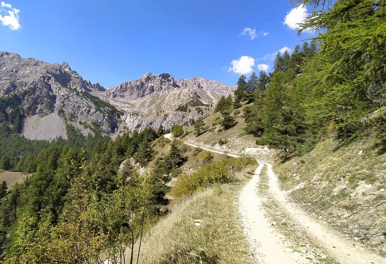
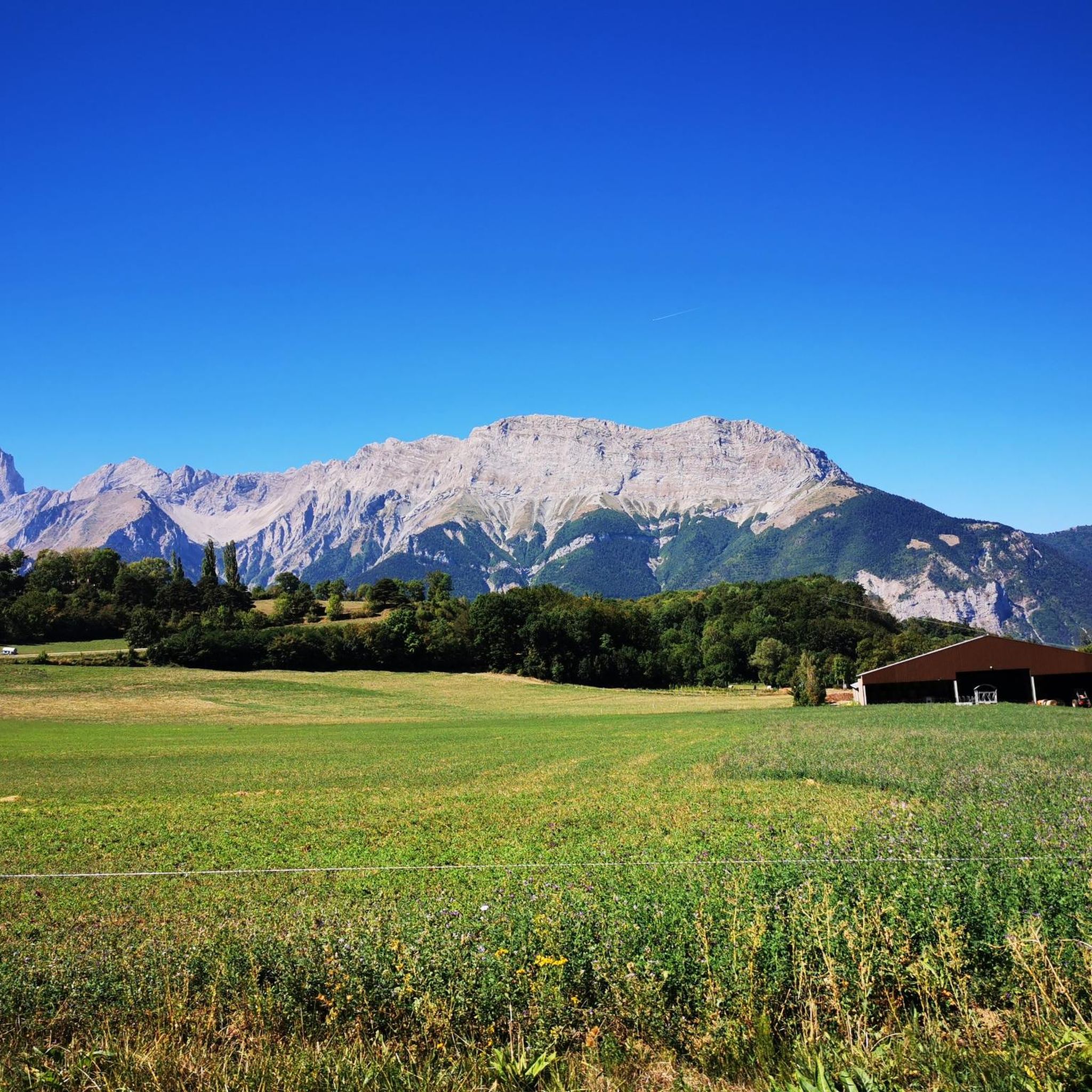
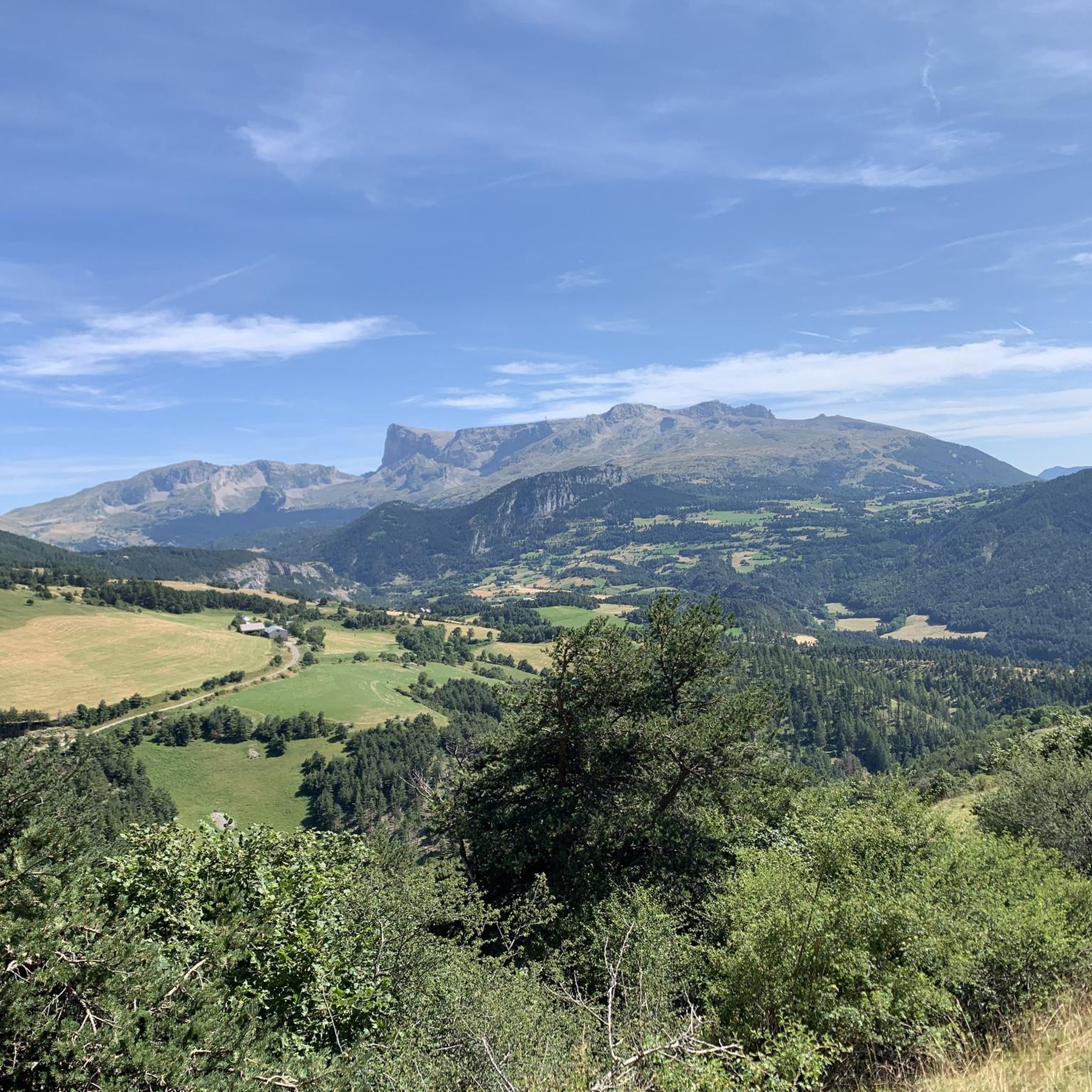
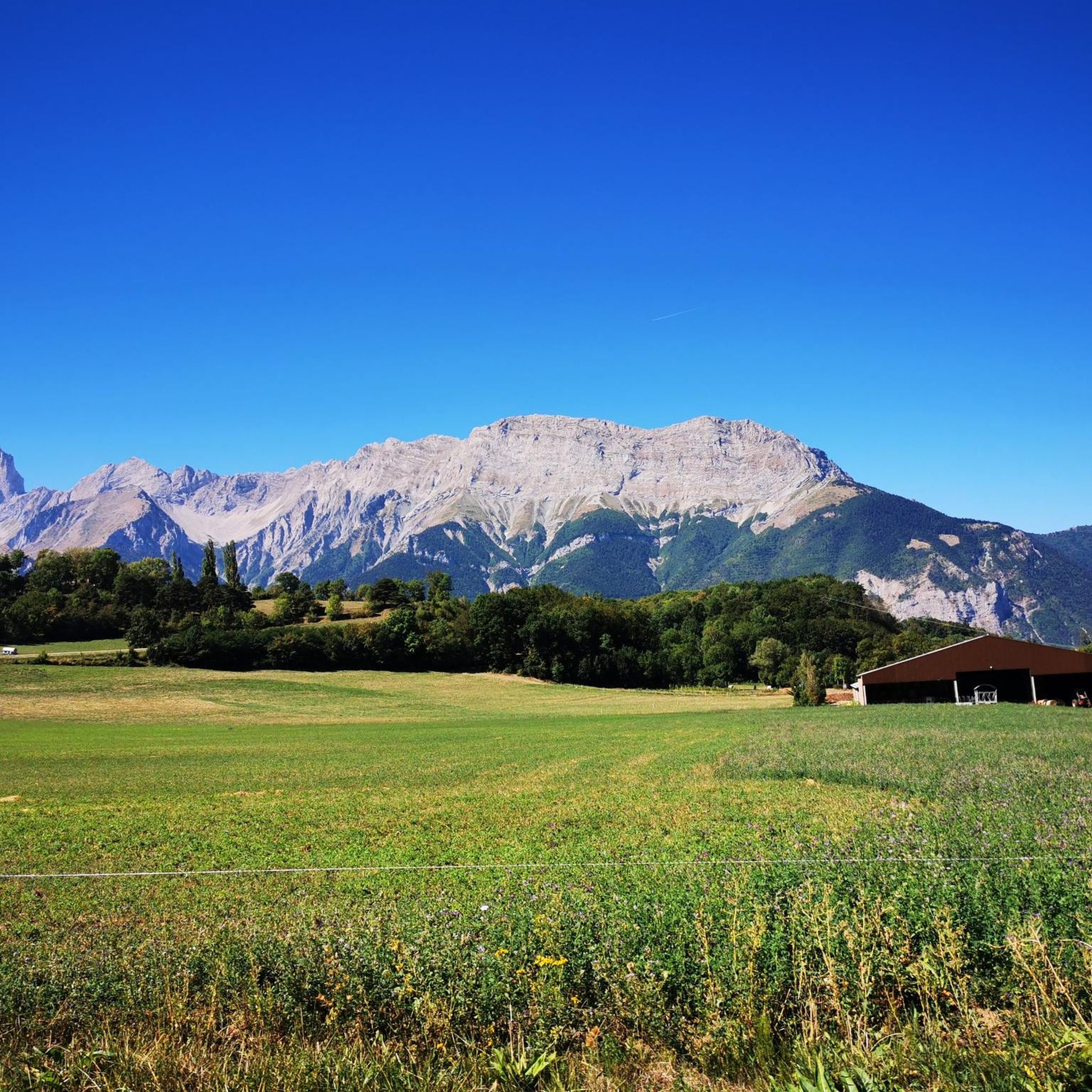
Jogging around Chauffayer offers diverse terrain within the Hautes-Alpes department of southeastern France. The region features open plateaus at an average elevation of 910 meters, providing expansive views and gently rolling paths. Joggers can also explore larch forests, areas of bocage, and trails alongside river valleys like the Souloise. This varied landscape provides a range of running experiences, from sustained jogs on open ground to shaded paths through woodlands.
Best jogging routes around Chauffayer
- The most popular jogging route is…
Last updated: July 1, 2026
4.0
(1)
8
runners
7.83km
00:53
160m
160m
Moderate run. Good fitness required. Mostly accessible paths. Some sure footedness required.
4
runners
7.05km
00:46
110m
110m
Moderate run. Good fitness required. Mostly paved surfaces. Suitable for all skill levels.

Sign up for free
4
runners
8.57km
01:31
640m
630m
Hard run. Very good fitness required. Mostly paved surfaces. Suitable for all skill levels.
4
runners
8.33km
01:04
260m
260m
Moderate run. Good fitness required. Mostly paved surfaces. Suitable for all skill levels.
4
runners
14.2km
02:12
680m
680m
Hard run. Very good fitness required. Sure-footedness, sturdy shoes and alpine experience required.
Get access to more routes and recommendations from other explorers.
Sign up for free
Already have an account?
Our route recommendations are based on thousands of hikes, rides, and runs completed by other people on komoot.
Start today with a free account
Your next adventure awaits.
Login or Signup




Tips from the Community

pleasant road with in places path with large stones
0
0

This small artificial lake is an ideal place for a quiet break. You will find a few picnic tables and trees to shelter you from the sun.
0
0
Frequently Asked Questions
How many running routes are available around Chauffayer?
There are over 70 running routes around Chauffayer, offering a wide range of options for different preferences and fitness levels. The komoot community has explored more than 70 trails in the area.
What kind of terrain can I expect when running in Chauffayer?
The Chauffayer region offers diverse terrain for running. You'll find open plateaus with gently rolling paths, beautiful larch forests, and areas of bocage providing shaded trails. Some routes also follow river valleys like the Souloise, and you can enjoy stunning mountain panoramas of the Champsaur, Dévoluy, and Écrins ranges in the distance.
What are the difficulty levels of running trails in Chauffayer?
The running trails in Chauffayer cater to various abilities. While there is one easy route, the majority are classified as moderate (32 routes) or difficult (40 routes), providing options for both casual jogs and challenging uphill workouts.
What do other runners say about the routes in Chauffayer?
The running routes in Chauffayer are highly rated by the komoot community, with an average score of 4.5 stars from more than 10 reviews. Runners often praise the varied terrain, from open meadows to forested paths, and the spectacular mountain views.
Are there any family-friendly jogging routes in Chauffayer?
Yes, for a lighter jog suitable for families, consider the 'Sentier de Découverte du Bocage' which is an easy 2.7 km pedestrian route with minimal elevation change. While not explicitly listed in the guide, the region's easy trails and open plateaus can offer pleasant, less strenuous options. One easy route is available in the komoot guide.
Can I find circular running routes in the Chauffayer area?
Yes, many of the running routes around Chauffayer are circular. For example, the Saint-Firmin canal bridge loop from Saint-Firmin and the Sentier des Herbeys loop from Saint-Firmin are popular circular options, allowing you to start and finish at the same point.
Are there routes with good viewpoints or scenic spots for running?
Absolutely! The region is known for its stunning scenery. Many routes offer expansive views of the Champsaur, Dévoluy, and Écrins mountain ranges. For a truly breathtaking panorama, consider routes that pass near Col du Noyer (1664 m), which offers an 'indescribable beauty' according to regional research. The 'Boucle du Tourneau' also promises panoramic views.
What attractions or landmarks can I see while jogging near Chauffayer?
You can incorporate several interesting landmarks into your runs. The spectacular Infernet Gorge, carved by the Souloise River, offers dramatic scenery. The tranquil Sanctuary of Our Lady of La Salette is also nearby. Additionally, the Gillardes Spring, where the Souloise River resurges, is a picturesque spot often used for picnics and accessible from parking.
Are there any running routes that pass by water features like rivers or lakes?
Yes, the region features several water elements. The spectacular Infernet Gorge is carved by the Souloise River, and you can find trails alongside it. The Gillardes Spring is a notable resurgence of the Souloise River. For a route specifically featuring a lake, consider the Lac du Sautet loop from Beaufin.
Is it possible to find easy running paths for beginners in Chauffayer?
While many routes are moderate to difficult, there is one easy route listed in the komoot guide. The plateau of Chauffayer itself, with its cultivated lands and meadows, offers relatively flat to gently rolling terrain ideal for sustained jogs with expansive vistas, which can be suitable for beginners. The 'Sentier de Découverte du Bocage' is also an easy option.
What is the best time of year to go running in Chauffayer?
Chauffayer, situated at an average elevation of 910 meters, offers pleasant conditions for running during spring, summer, and early autumn. These seasons provide comfortable temperatures and vibrant natural scenery. Winter running is possible, but trails may be affected by snow and ice, especially at higher elevations.
Are there any routes that go through forests or shaded areas?
Yes, joggers can explore beautiful larch forests and areas of bocage (a landscape of small fields and woodlands), providing shaded paths and a change of scenery. The Sentier des Herbeys loop from Saint-Firmin, for instance, winds through larch forests and bocage.
Are there any running routes that are particularly challenging?
Yes, for experienced runners seeking a challenge, the region offers several difficult routes. The climb to Col du Noyer, while primarily a hiking destination, indicates the presence of significant uphill workouts in the area. The Running loop from Le Glaizil is classified as difficult, featuring substantial elevation gain.
Most popular attractions around Chauffayer

Get inspired with the komoot mobile app


Explore more
Browse the best Running Trails & Routes in other regions.
