Saint-Jacques-En-Valgodemard
Saint-Jacques-En-Valgodemard
The best walks and hikes around Saint-Jacques-En-Valgodemard
4.7
(390)
3,407
hikers
103
hikes
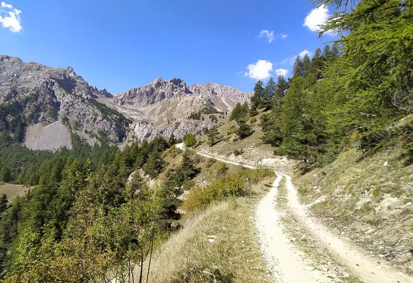
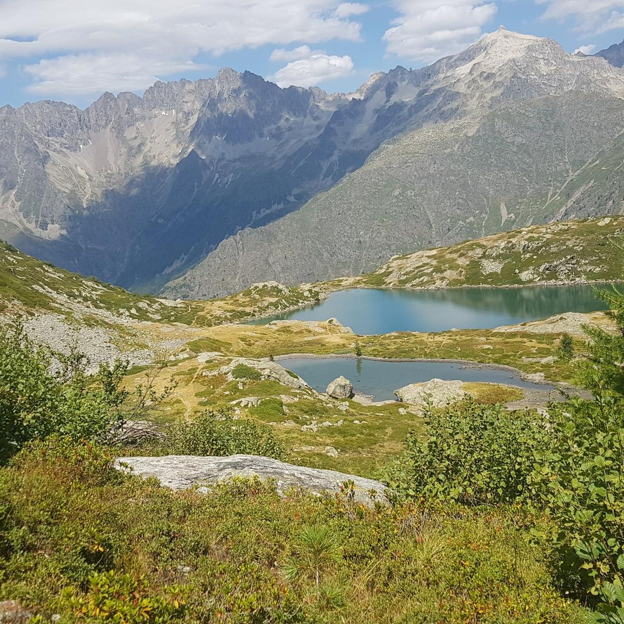
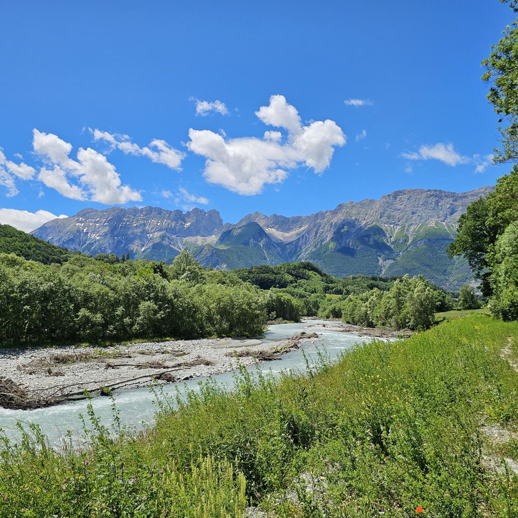
Hiking around Saint-Jacques-En-Valgodemard offers access to the diverse landscapes of the Valgaudemar valley and the Écrins National Park. The region is characterized by majestic mountains, high peaks, and glacial features, with the Séveraisse river flowing through the valley. Terrain includes alpine meadows, forests, and deep valleys, providing a range of hiking experiences.
Best hiking trails around Saint-Jacques-En-Valgodemard
- The most popular hiking route is Valgodemard rivertrail loop from Saint-Maurice-en-Valgodemard, a 6.2 miles (10.0 km) trail that takes 2 hours 43…
Last updated: October 18, 2026
5.0
(7)
22
hikers
9.99km
02:43
150m
140m
Moderate hike. Good fitness required. Easily-accessible paths. Suitable for all skill levels.
4.0
(7)
23
hikers
8.49km
02:29
230m
230m
Moderate hike. Good fitness required. Easily-accessible paths. Suitable for all skill levels.

4.2
(10)
28
hikers
4.96km
01:27
130m
130m
Easy hike. Great for any fitness level. Easily-accessible paths. Suitable for all skill levels.
5.0
(1)
14
hikers
9.26km
03:22
430m
430m
Moderate hike. Good fitness required. Mostly accessible paths. Sure-footedness required.
4.0
(1)
6
hikers
14.8km
04:29
500m
500m
Moderate hike. Good fitness required. Easily-accessible paths. Suitable for all skill levels.
Get access to more routes and recommendations from other explorers.
Already have an account?
Our route recommendations are based on thousands of hikes, rides, and runs completed by other people on komoot.
Start today with a free account
Your next adventure awaits.
Other adventures around Saint-Jacques-En-Valgodemard

Tips from the Community

pleasant road with in places path with large stones
0
0

Great visit in winter with no snow. Incredible reflections on the frozen water.
0
0

Built in 1811, the Herbeys canal allows the cultivation of the Aubessagne plateau, which was formerly arid and not very fertile. The canal is 28 kilometers long and uses water from the Séveraisse. The setting is bucolic.
0
0
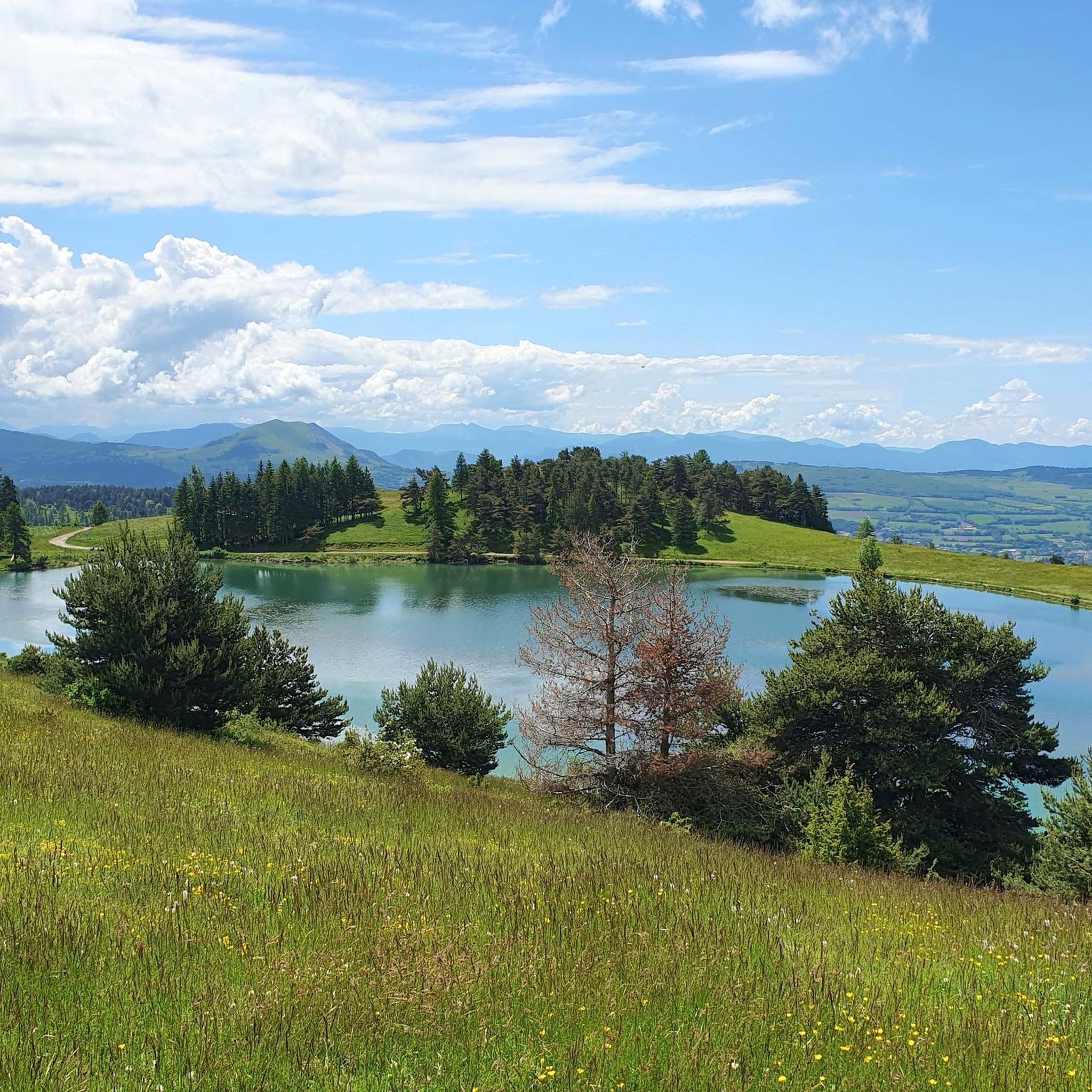
This small artificial lake is an ideal place for a quiet break. You will find a few picnic tables and trees to shelter you from the sun.
0
0
Frequently Asked Questions
What kind of terrain can I expect when hiking around Saint-Jacques-En-Valgodemard?
The region offers a diverse landscape, from deep valleys carved by the Séveraisse river to majestic high peaks and glacial features within the Écrins National Park. You'll find trails winding through alpine meadows, dense forests, and rugged mountain passes, providing a varied hiking experience.
Are there any easy hiking trails suitable for beginners or families?
Yes, Saint-Jacques-En-Valgodemard has a good selection of easier trails. For instance, the Castle ruin loop from Saint-Firmin is an easy 3.4 km route that takes just over an hour. The region offers 25 easy routes in total, many of which are suitable for families looking for a gentle walk.
What are some notable natural features or landmarks to look out for on the trails?
The area is rich in natural beauty. You can discover impressive waterfalls like the Voile de la Mariée (Bride's Veil) near the Gioberney chalet, or visit the scenic Lac du Lauzon, which offers a popular three-hour hiking circuit. The region is also part of the vast Écrins National Park, known for its glacial landscapes and high peaks like the Montagne du Petit Chaillol.
Are there any long-distance hiking opportunities in the area?
Absolutely. Saint-Jacques-En-Valgodemard is a gateway to significant long-distance trails. The famous GR54, part of the Tour des Écrins, passes through the area, offering a formidable circuit for experienced trekkers. Another option is the Tour du Vieux Chaillol, a multi-day route that typically takes five days to complete its 96 km, linking the Valgaudemar valley with the Champsaur valley.
What is the best time of year to go hiking in Saint-Jacques-En-Valgodemard?
The best time for hiking is generally from late spring to early autumn (May to October), when the weather is milder and trails are clear of snow, especially at higher altitudes. During these months, you can fully appreciate the alpine meadows, forests, and glacial landscapes. Winter offers opportunities for snowshoeing and ice climbing, but hiking trails may be inaccessible or require specialized gear.
Are there any circular hiking routes available?
Yes, many routes in the area are circular, allowing you to start and end in the same location. For example, the Valgodemard rivertrail loop from Saint-Maurice-en-Valgodemard is a moderate 10 km loop along the river. Another popular option is the Saint-Jacques en Valgaudemar – Sentier des Herbeys loop from Saint-Firmin, which offers scenic views over 8.3 km.
What do other hikers say about the trails around Saint-Jacques-En-Valgodemard?
The hiking trails in Saint-Jacques-En-Valgodemard are highly regarded by the komoot community, holding an average rating of 4.7 stars from over 300 reviews. Hikers often praise the stunning mountain scenery, the variety of terrain, and the well-maintained paths that cater to different skill levels.
Can I bring my dog on the hiking trails?
While the Écrins National Park has specific regulations regarding dogs, generally, dogs are allowed on leash on many trails outside the strictly protected core zones. It's always best to check specific trail regulations or local signage before heading out, especially within the National Park boundaries, to ensure a pleasant and compliant experience for you and your pet.
What are the typical durations and distances of hikes in this region?
Hikes in Saint-Jacques-En-Valgodemard vary widely. You can find shorter, easy walks like the Castle ruin loop from Saint-Firmin, which is 3.4 km and takes about an hour. Moderate routes, such as the Lac de Roaffan – Roaffan artificial lake loop from Saint-Firmin, can be around 11 km and take 3-4 hours. For more challenging and longer excursions, routes like the Valgodemard rivertrail – Villar-Loubière loop from Saint-Maurice-en-Valgodemard can extend to nearly 20 km and take 5-6 hours or more.
Are there any challenging hikes for experienced trekkers?
Yes, the region offers plenty of challenging options. The Écrins National Park is known for its formidable terrain, including strenuous ascents and scrambling sections on routes like parts of the GR54. The Valgodemard rivertrail – Villar-Loubière loop from Saint-Maurice-en-Valgodemard is classified as difficult, covering nearly 20 km with significant elevation changes. More demanding routes often lead to high mountain passes like Col des Tourettes, rewarding trekkers with spectacular views.
What are the options for parking when accessing hiking trails?
While specific parking information for every trailhead isn't detailed, Saint-Jacques-En-Valgodemard and nearby villages like Saint-Firmin and Saint-Maurice-en-Valgodemard typically offer designated parking areas for hikers. Given the region's focus on outdoor activities, you can generally expect to find parking near popular starting points for trails, though it's advisable to arrive early during peak season.
Are there any mountain passes I can hike to in the vicinity?
Yes, the area is surrounded by impressive mountain passes. You can hike towards passes like Col du Noyer (1664 m) or explore routes that lead to Vaurze Pass and Pisse Pass. These passes often offer panoramic views of the surrounding valleys and peaks within the Écrins National Park.
Most popular routes around Saint-Jacques-En-Valgodemard
Most popular attractions around Saint-Jacques-En-Valgodemard

Get inspired with the komoot mobile app


Explore more
Browse the best Hikes in other regions.
