Saint-Léger-Les-Mélèzes
Saint-Léger-Les-Mélèzes
The best running trails around Saint-Léger-Les-Mélèzes
4.2
(14)
2,278
runners
11
runs
Jogging routes around Saint-Léger-Les-Mélèzes traverse the diverse landscapes of the Champsaur Valley in the Hautes-Alpes department. The region is characterized by extensive larch forests, which provide shaded trails, and varied terrain ranging from riverside paths to higher-altitude routes. Proximity to the Écrins National Park enhances the natural environment, offering views of mountain peaks and diverse flora. The area features numerous trails suitable for running, including those leading to viewpoints over the valley.
Best jogging routes around Saint-Léger-Les-Mélèzes
- The most popular…
Last updated: July 1, 2026
42
runners
9.82km
01:11
250m
250m
Hard run. Good fitness required. Sure-footedness, sturdy shoes and alpine experience required.
16
runners
13.3km
01:33
230m
230m
Moderate run. Good fitness required. Mostly paved surfaces. Suitable for all skill levels.

Sign up for free
5
runners
7.07km
00:50
220m
230m
Moderate run. Good fitness required. Mostly paved surfaces. Suitable for all skill levels.
6
runners
16.1km
02:24
930m
930m
Hard run. Very good fitness required. Mostly paved surfaces. Suitable for all skill levels.
3
runners
4.62km
00:34
110m
110m
Moderate run. Good fitness required. Mostly paved surfaces. Suitable for all skill levels.
Get access to more routes and recommendations from other explorers.
Sign up for free
Already have an account?
Our route recommendations are based on thousands of hikes, rides, and runs completed by other people on komoot.
Start today with a free account
Your next adventure awaits.
Login or Signup
Tips from the Community

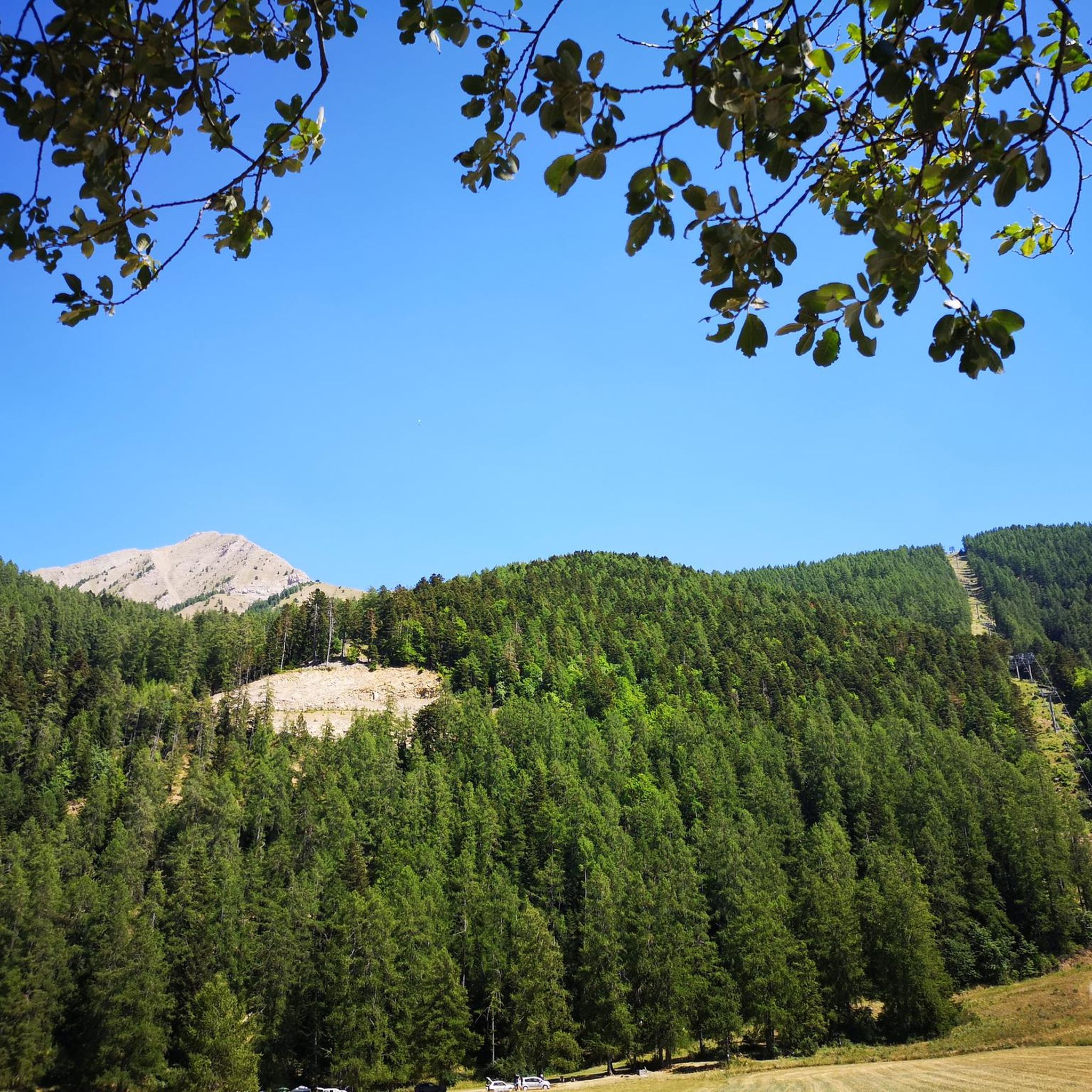
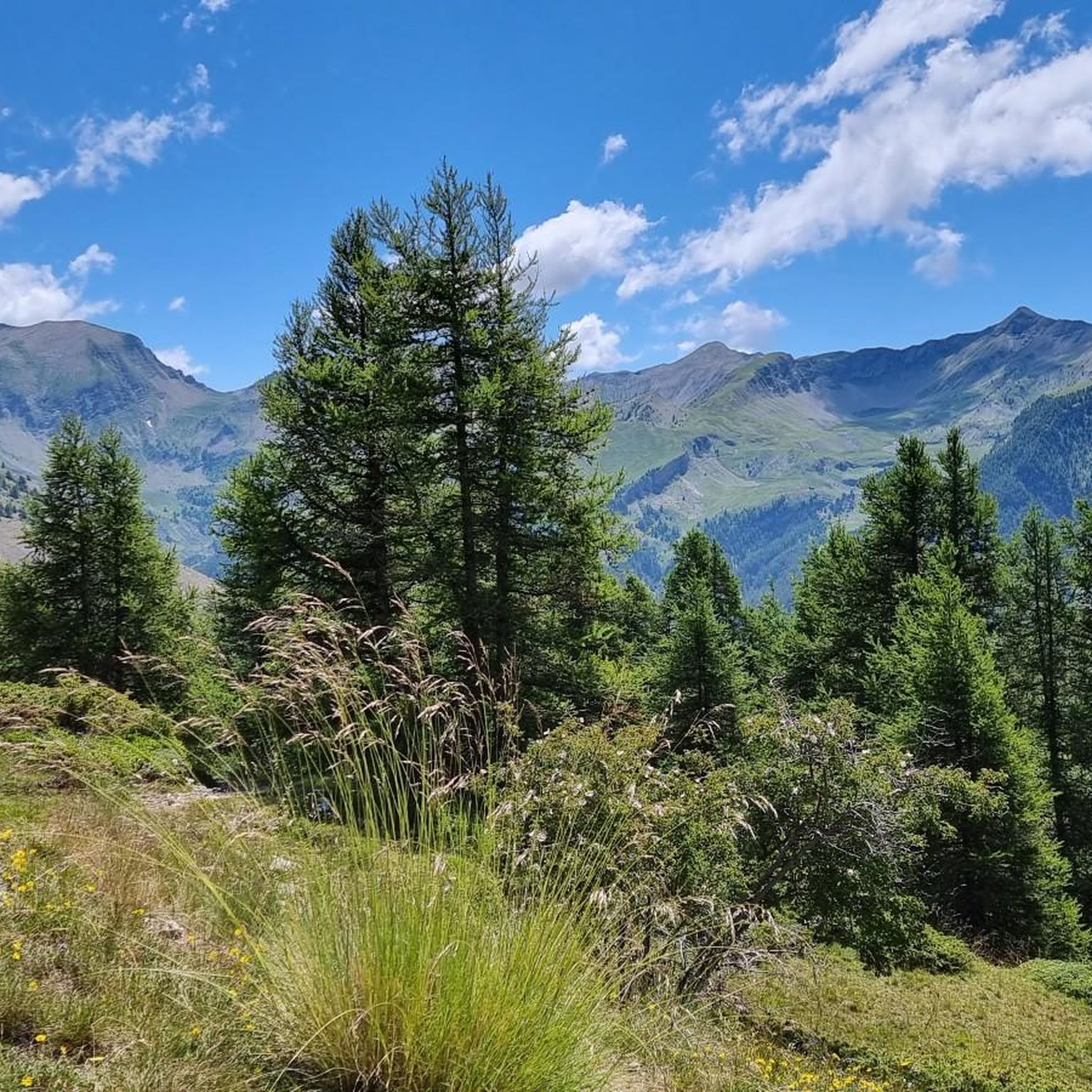
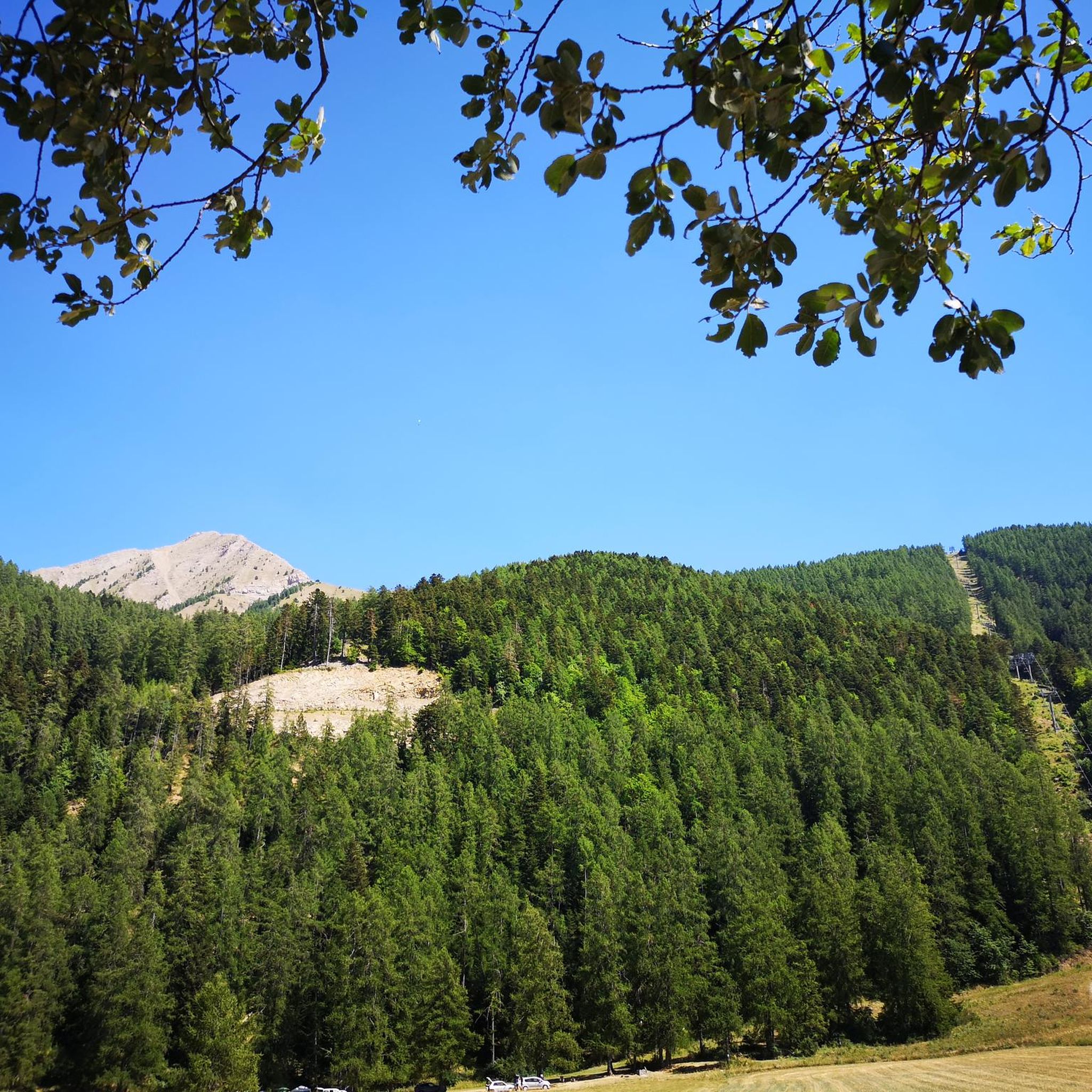
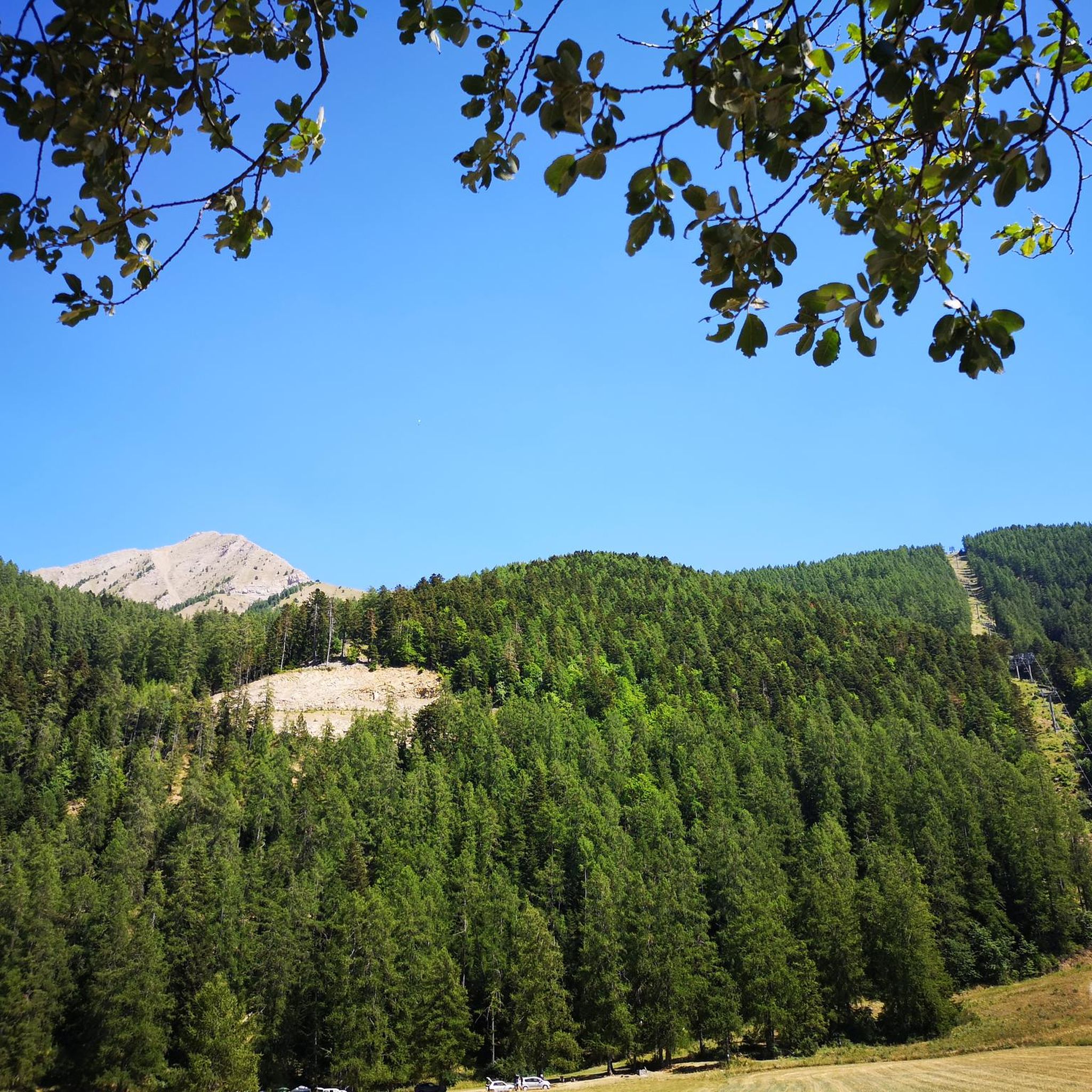
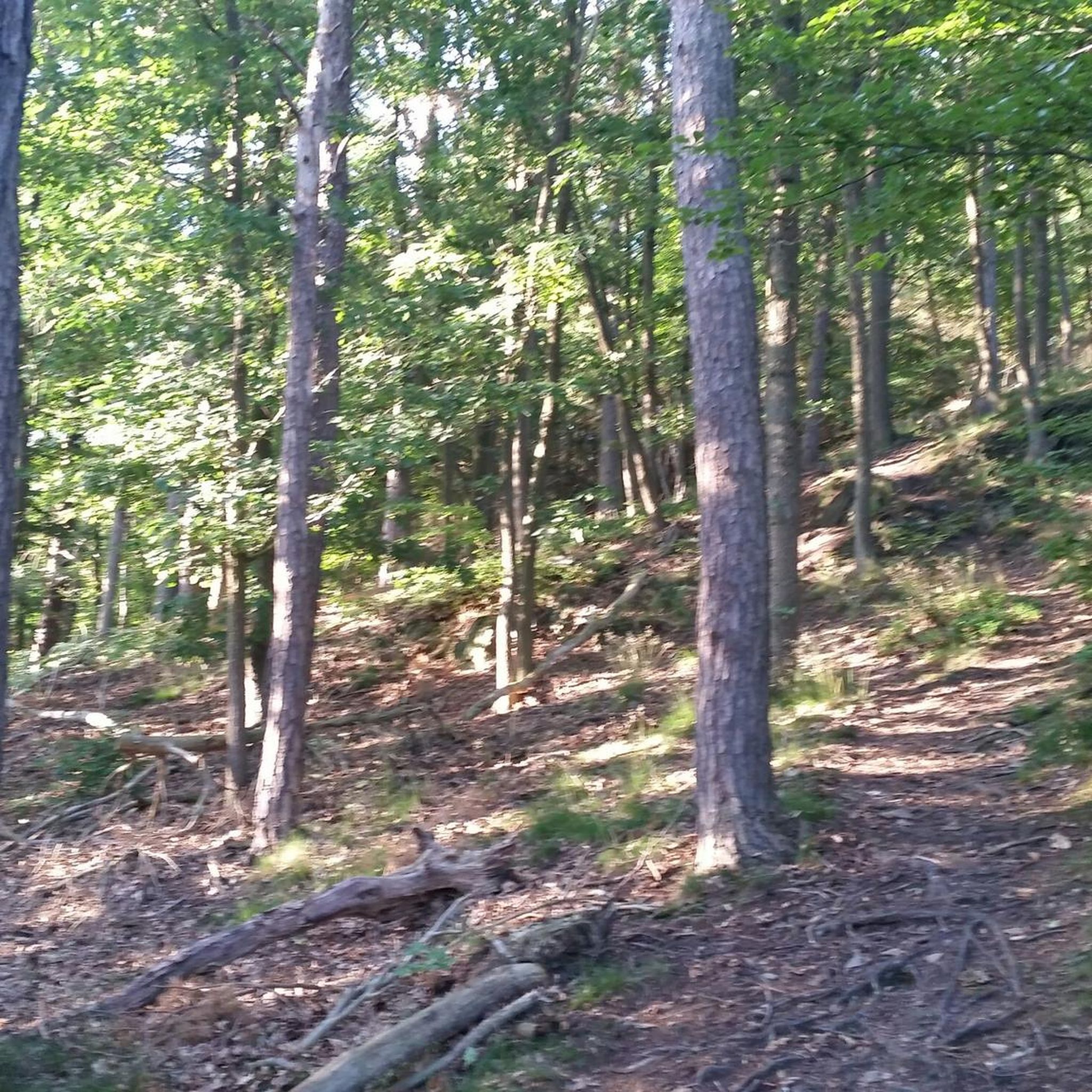
The Libouze plateau offers a magnificent natural heritage. Here you find a water reservoir intended for the production of artificial snow. The plateau is equipped and picnic tables are accessible.
0
0
Frequently Asked Questions
How many running routes are available in Saint-Léger-Les-Mélèzes?
There are over 10 diverse running routes around Saint-Léger-Les-Mélèzes, catering to various fitness levels. These trails traverse the beautiful Champsaur Valley, offering a mix of forest paths and mountain ascents.
What kind of terrain can I expect on the running trails in this region?
You'll find a varied terrain, from shaded paths winding through the abundant larch forests (mélèzes) that give the village its name, to riverside trails along the Drac, and more challenging ascents towards mountain peaks. The region's proximity to the Écrins National Park ensures a rich natural environment for your run.
Are there running routes suitable for beginners or those looking for an easier run?
While many routes offer a challenge, there are options for less experienced runners. The commune provides a "parcours santé" (fitness trail) for dedicated physical activity. For a moderate experience, consider the Running loop from Saint-Léger-les-Mélèzes, which covers 8.3 miles (13.3 km) with varied terrain.
Can I find circular running routes in Saint-Léger-Les-Mélèzes?
Yes, many of the running trails are designed as loops, allowing you to start and finish in the same location. A popular option is the Viewpoint – Plateau de Libouze loop from Saint-Léger-les-Mélèzes, a 6.1-mile (9.8 km) route offering panoramic views.
What is the best time of year for running in Saint-Léger-Les-Mélèzes?
The region is beautiful year-round. Summer offers lush greenery and refreshing streams, while autumn is particularly stunning as the larch forests turn golden. Even in winter, snowshoeing can be a form of cross-training, though dedicated running might be limited to cleared paths.
Are there any running trails that pass by waterfalls or other natural water features?
Yes, in warmer months, melted snow feeds numerous waterfalls and streams throughout the forests. The Drap Blanc river in the Vallée de Champoléon, within the Écrins National Park, features torrents and peaceful lakes. You might encounter the beautiful Cascade de la Pisse on some trails.
Can I bring my dog on the running trails?
Many outdoor trails in the Champsaur Valley are dog-friendly, especially if your dog is well-behaved and kept on a leash, particularly in areas with wildlife or livestock. Always ensure you clean up after your pet to maintain the natural beauty of the trails.
What natural attractions or landmarks can I see while running?
The trails offer stunning views and natural sights. You can enjoy panoramic vistas over the Champsaur Valley, especially from routes ascending to points like Le Cuchon. Highlights include the Plateau de Libouze, various mountain passes like Col de Moissière (1573 m), and the majestic Vieux Chaillol summit in the distance.
Are there challenging trail running options for experienced runners?
Absolutely. Saint-Léger-Les-Mélèzes is ideal for trail runners seeking intense experiences. Routes like the Le Cuchon loop from Saint-Léger-les-Mélèzes, a 10.0-mile (16.1 km) trail, feature significant elevation gain and mountainous terrain, often taking over two hours to complete.
How long do the running routes typically take to complete?
The duration varies significantly based on the route's length and difficulty. Shorter, moderate loops can take around 30-40 minutes, while more challenging trails like the Le Cuchon loop can take over 2 hours 20 minutes. Most routes fall within a 1 to 2-hour timeframe.
What do other runners enjoy most about jogging in Saint-Léger-Les-Mélèzes?
The running routes in Saint-Léger-Les-Mélèzes are highly rated by the komoot community, with an average score of 4.3 stars from over 10 reviews. Runners often praise the stunning panoramic views, the peaceful atmosphere of the larch forests, and the diverse terrain that keeps every run interesting.
Are there any running routes with good viewpoints?
Yes, many routes offer exceptional panoramic views. The Viewpoint – Plateau de Libouze loop from Saint-Léger-les-Mélèzes is specifically named for its scenic vistas over the surrounding valley. Ascents towards Le Cuchon also provide breathtaking rewards with expansive views.
Most popular routes around Saint-Léger-Les-Mélèzes
Most popular attractions around Saint-Léger-Les-Mélèzes

Get inspired with the komoot mobile app


Explore more
Browse the best Running Trails & Routes in other regions.
