The best walks and hikes around La Freissinouse
4.5
(619)
6,046
hikers
244
hikes
Hiking around La Freissinouse offers diverse trails through a landscape characterized by hills, forests, and open valleys in the Hautes-Alpes region. The area features prominent viewpoints, such as Charance Peak, providing panoramic vistas. Many routes incorporate natural features like Lake Pelleautier, making for varied hiking experiences. These hiking trails around La Freissinouse cater to different preferences, from gentle lakeside strolls to more challenging ascents.
Best hiking trails around La Freissinouse
- The most popular hiking route is Charance Peak – Viewpoint…
Last updated: June 25, 2026
4.9
(7)
100
hikers
12.1km
04:35
780m
780m
Moderate hike. Good fitness required. Easily-accessible paths. Suitable for all skill levels.
4.8
(4)
38
hikers
Moderate hike. Good fitness required. Easily-accessible paths. Suitable for all skill levels.

Sign up for free
4.0
(4)
40
hikers
2.76km
00:42
10m
10m
Easy hike. Great for any fitness level. Easily-accessible paths. Suitable for all skill levels.
12
hikers
11.6km
04:29
780m
780m
Moderate hike. Good fitness required. Easily-accessible paths. Suitable for all skill levels.
4.0
(3)
23
hikers
5.46km
01:35
140m
140m
Easy hike. Great for any fitness level. Easily-accessible paths. Suitable for all skill levels.
Get access to more routes and recommendations from other explorers.
Sign up for free
Already have an account?
Our route recommendations are based on thousands of hikes, rides, and runs completed by other people on komoot.
Start today with a free account
Your next adventure awaits.
Login or Signup


Tips from the Community

Very quiet but (http://rosetoy.cam/) extremely effective.
0
0


There is a comfortable bench here to take a break in the shade in hot weather
0
0

This path borders the Gap canal. The Gap canal collects water from the Drac in Haut-Champsaur and brings it to the Gapençais basin, where it is mainly used to supply the town of Gap with drinking water. The walk along the water reveals beautiful views of the surrounding landscapes.
0
0

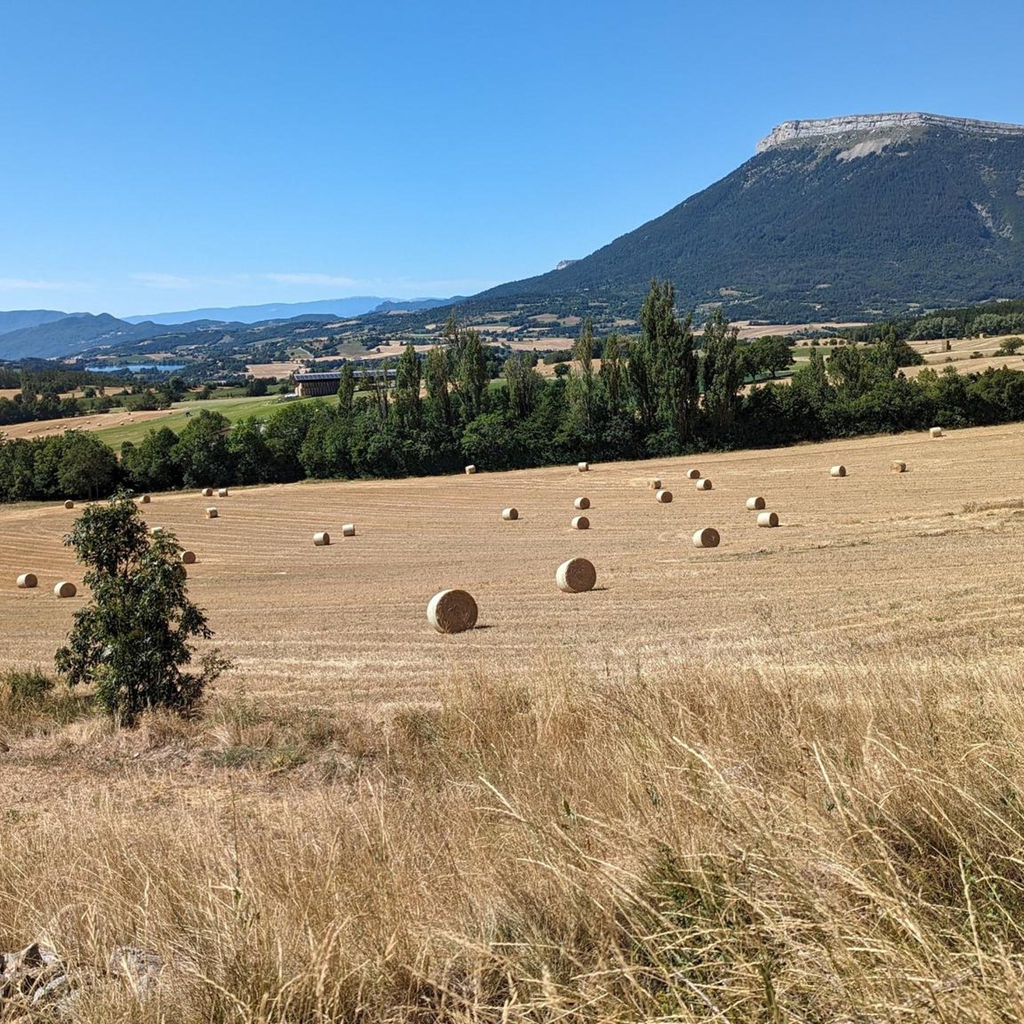
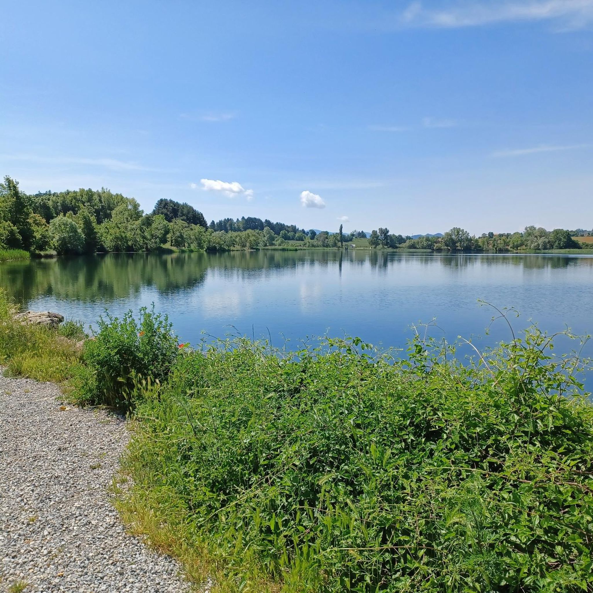
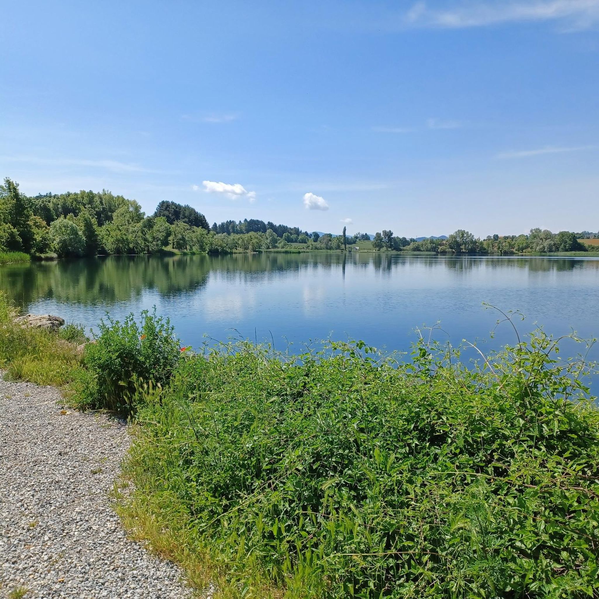
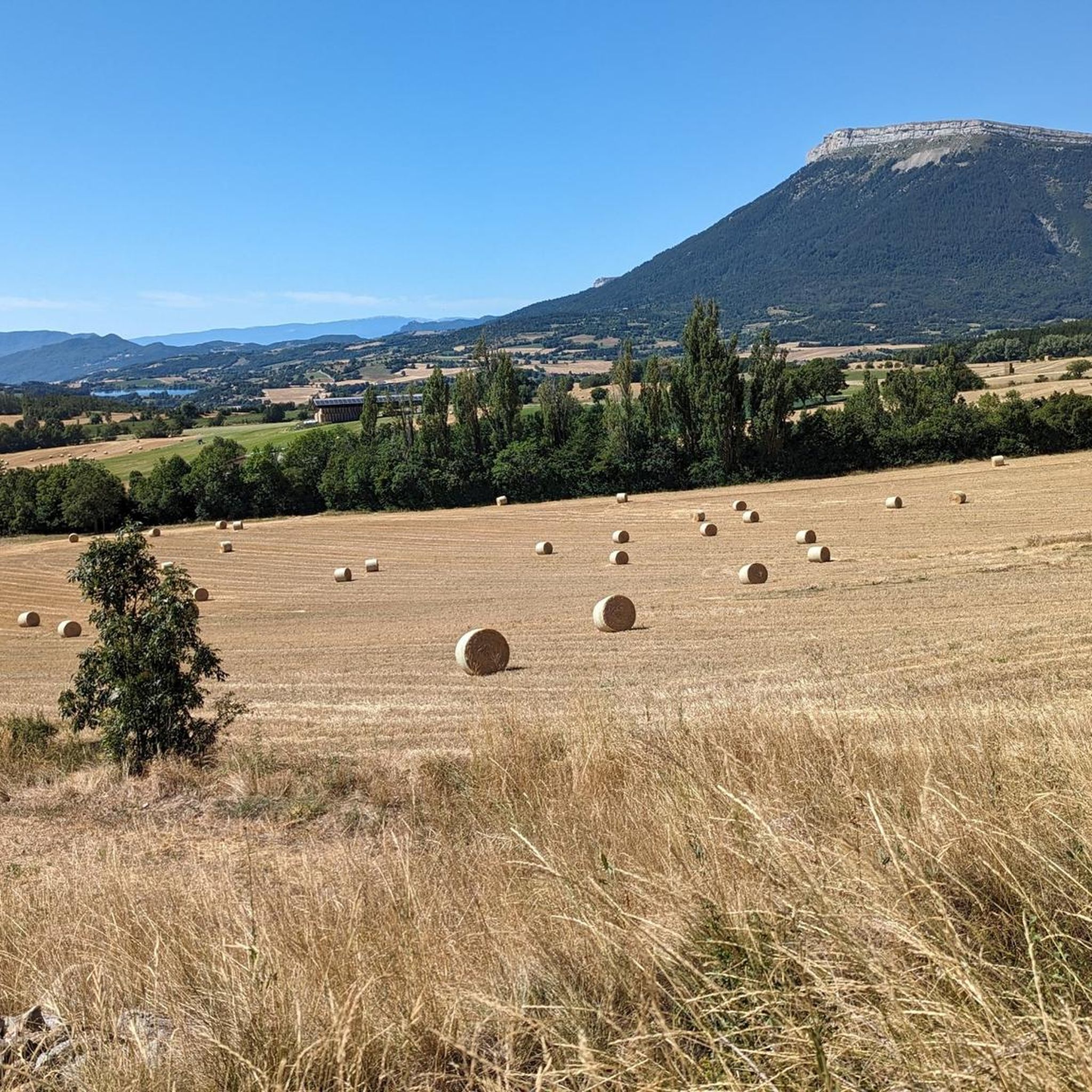
Lake at the foot of the superb mountain of Céüse with a small leisure centre. The cliffs, classified as a Natura 2000 zone, are home to peregrine falcons and choughs. Renowned for rock climbing, they attract climbers from all over the world.
1
0

The Pic de Charance is 1,825 meters above sea level. From the summit, marked with a cross, there are exceptional views of the town of Gap, the Durance valley and the peak of Bure.
1
0
Frequently Asked Questions
How many hiking trails are there in La Freissinouse?
There are over 230 hiking routes around La Freissinouse, offering a wide variety of experiences. These trails range from easy strolls to more challenging ascents, catering to different fitness levels and preferences.
Are there easy hikes suitable for beginners or families?
Yes, La Freissinouse offers many easy and family-friendly hiking options. For instance, the Lake Pelleautier – Pelleautier Lake loop from Pelleautier is an easy 1.7-mile (2.8 km) trail that takes about 42 minutes to complete, perfect for a gentle lakeside stroll. Overall, there are 71 easy routes available.
Where can I find more challenging hikes in the area?
For those seeking a challenge, La Freissinouse has 29 difficult routes. The region's landscape, characterized by hills and significant elevation gain, provides ample opportunities for strenuous hikes. These routes often lead to higher viewpoints and offer more demanding terrain.
What is the typical length and duration of hikes around La Freissinouse?
Hikes in La Freissinouse vary significantly in length and duration. You can find short loops like the Lake Pelleautier loop at 1.7 miles (2.8 km) taking under an hour, up to longer routes like the Charance Peak – Viewpoint loop which is 7.5 miles (12.1 km) and typically takes over 4 hours.
Are there many circular hiking routes in La Freissinouse?
Yes, many of the hiking trails around La Freissinouse are designed as circular routes, allowing you to start and end at the same point without retracing your steps. Examples include the popular Escargot de Charance – Lizard Sculpture at Charance loop and the Campagna francese loop from Lac des Chênes.
Which hikes offer the best viewpoints?
Many routes in La Freissinouse lead to prominent viewpoints, offering panoramic vistas of the Hautes-Alpes region. The Charance Peak – Viewpoint loop from La Freissinouse is specifically known for leading to a significant viewpoint. Another option is the Hike to Pic de Charance – Charance Peak loop from Basse Corréo.
What interesting sights can I see while hiking around La Freissinouse?
The region around La Freissinouse is rich in natural beauty and landmarks. You can explore mountain passes like Espréaux Pass or Col de Gleize. The area also features the charming town of Gap and natural formations like Chemin de rondes and its cliffs.
Is parking available at trailheads in La Freissinouse?
While specific parking details vary by trailhead, many popular hiking areas and starting points in the La Freissinouse region, especially those near villages or attractions, typically offer designated parking facilities. It's always advisable to check the route details on komoot for specific parking information before you go.
What do other hikers say about the trails in La Freissinouse?
The hiking trails in La Freissinouse are highly rated by the komoot community, with an average score of 4.5 stars from over 550 reviews. Hikers often praise the diverse landscape, which includes forested hills, open valleys, and scenic lakes, as well as the variety of routes available for all skill levels.
Are there opportunities for wild swimming nearby?
The region features natural water bodies like Lake Pelleautier, which is incorporated into several hiking routes, such as the Lake Pelleautier – Pelleautier Lake loop. While specific wild swimming spots are not always officially designated, natural lakes and rivers in the Hautes-Alpes region can offer opportunities for a refreshing dip, depending on local regulations and conditions.
Can I bring my dog on the trails around La Freissinouse?
Generally, dogs are welcome on many hiking trails in the French Alps, including those around La Freissinouse, especially if kept on a leash. However, it's important to be mindful of local regulations, especially in protected natural areas or near livestock. Always ensure your dog is under control and that you clean up after them.
What is the best time of year to hike in La Freissinouse?
The best time to hike in La Freissinouse is typically from spring through autumn (May to October). During these months, the weather is generally mild and pleasant, and the trails are clear of snow. Summer offers warmer temperatures, while spring and autumn provide beautiful scenery with wildflowers or vibrant fall foliage.
Most popular routes around La Freissinouse
Most popular attractions around La Freissinouse

Get inspired with the komoot mobile app


Explore more
Browse the best Hikes in other regions.
