The best running trails around Forest-Saint-Julien
4.3
(73)
5,828
runners
358
runs
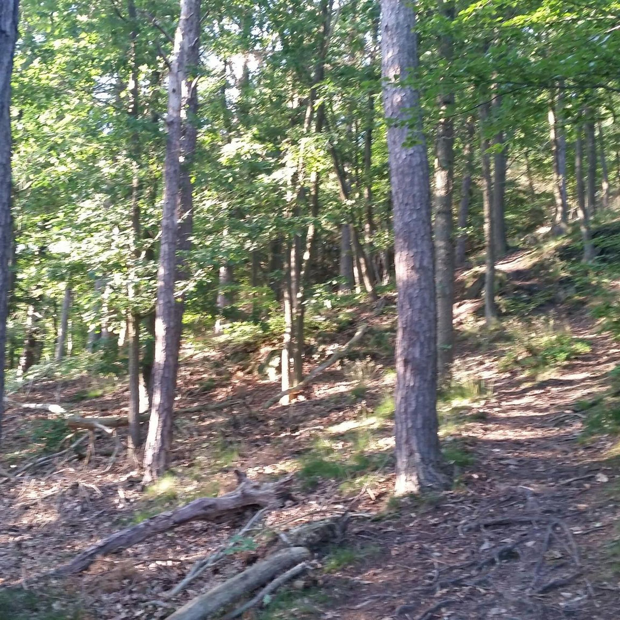
Jogging around Forest-Saint-Julien offers diverse terrain within the Southern French Alps, characterized by an elevation range from 1,015 meters to 1,631 meters. The region features forested landscapes, including the Forêt communale de Forest-Saint-Julien, and paths along the Drac River. Runners can experience routes through tranquil rural settings and enjoy views of surrounding peaks like the Puy de Manse.
Best jogging routes around Forest-Saint-Julien
- The most popular jogging route is Puy de Manse loop from Forest-Saint-Julien, a 2.6 miles (4.1…
Last updated: July 1, 2026
47
runners
3.44km
00:24
30m
30m
Easy run. Great for any fitness level. Mostly paved surfaces. Suitable for all skill levels.
14
runners
7.88km
00:56
130m
130m
Moderate run. Good fitness required. Mostly paved surfaces. Suitable for all skill levels.

Sign up for free
9
runners
10.7km
01:17
320m
320m
Hard run. Very good fitness required. Mostly paved surfaces. Suitable for all skill levels.
9
runners
18.7km
02:14
430m
440m
Hard run. Very good fitness required. Mostly paved surfaces. Suitable for all skill levels.
4.0
(1)
8
runners
8.34km
01:02
150m
150m
Moderate run. Good fitness required. Mostly paved surfaces. Suitable for all skill levels.
Get access to more routes and recommendations from other explorers.
Sign up for free
Already have an account?
Our route recommendations are based on thousands of hikes, rides, and runs completed by other people on komoot.
Start today with a free account
Your next adventure awaits.
Login or Signup

Tips from the Community

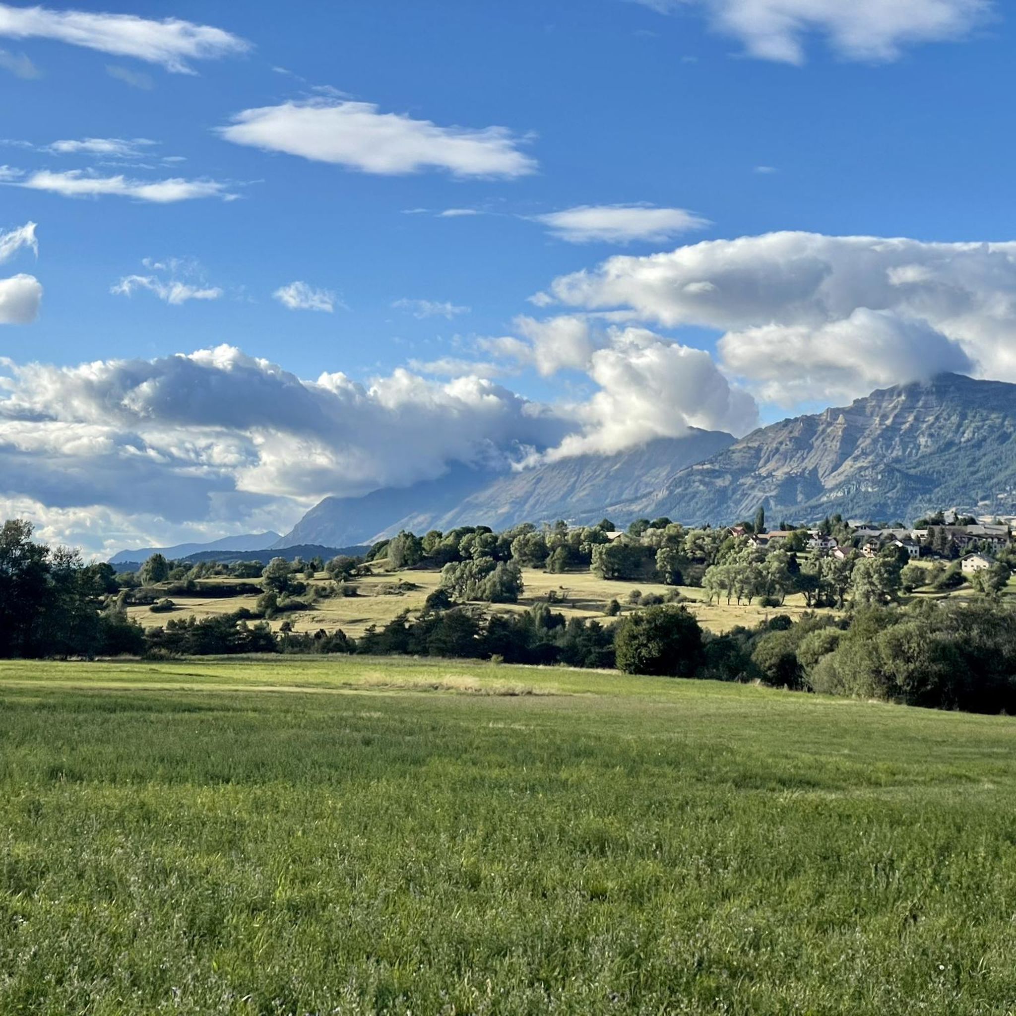
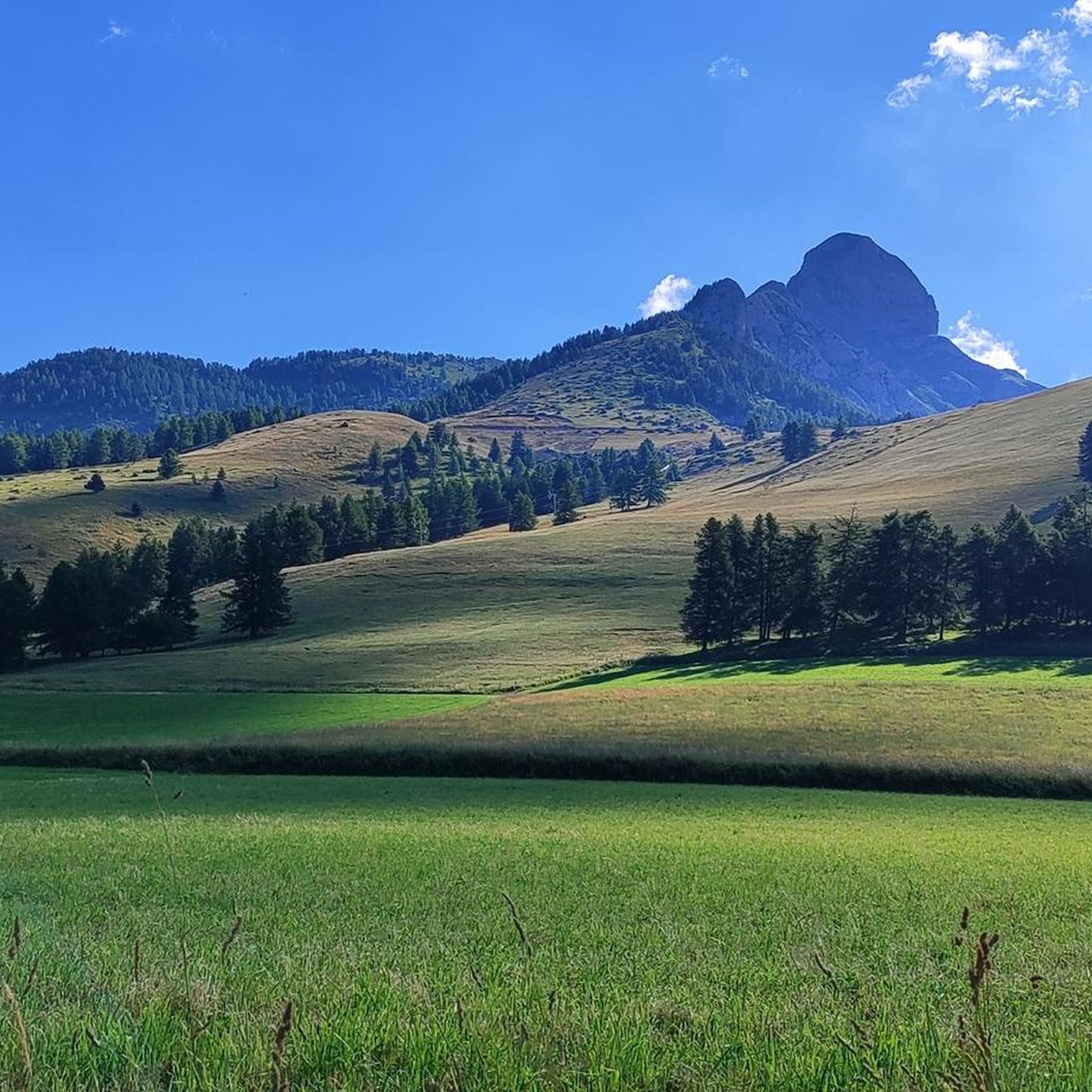
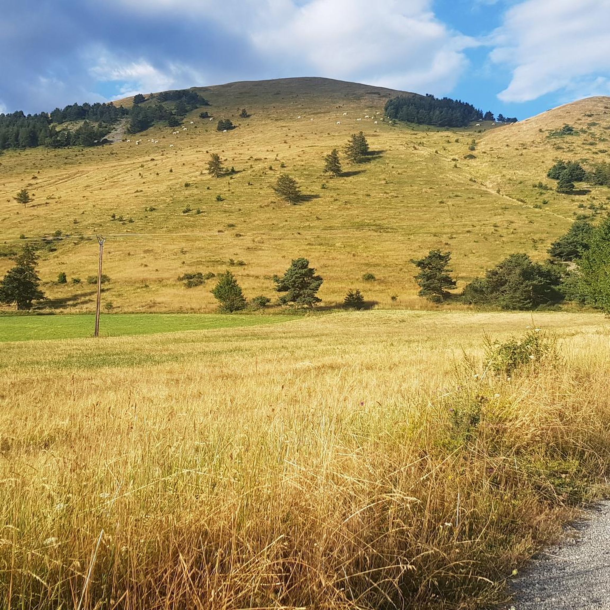
Unobstructed view of the Champsaur bocage, on a very small quiet asphalt road.
2
0
Frequently Asked Questions
What kind of terrain can I expect on running routes around Forest-Saint-Julien?
The region offers diverse terrain within the Southern French Alps, with elevations ranging from 1,015 meters to 1,631 meters. You'll find routes through tranquil rural settings, forested landscapes like the Forêt communale de Forest-Saint-Julien, and paths along the Drac River. Many trails, originally for hiking and cycling, are suitable for running and feature varied scenery, from gentle gradients to more challenging climbs.
Are there many running trails available in Forest-Saint-Julien?
Yes, Forest-Saint-Julien and its surrounding area offer a wide selection of running trails. There are over 370 routes available, catering to various fitness levels. You'll find approximately 20 easy routes, around 190 moderate options, and over 160 more difficult trails for experienced runners.
What are some scenic viewpoints or landmarks I can see while jogging in the area?
Jogging in Forest-Saint-Julien provides breathtaking views of surrounding peaks like the Puy de Manse and the wider Alpes Dauphinoises. The region also boasts historical elements such as the Aqueduc des Gorges, remnants of a Roman road, an old railway line, and a historic water wheel. For specific viewpoints, consider routes that offer vistas of the Champsaur Valgaudemar valley. You can also explore nearby mountain passes like Col de Moissière (1573 m) or Col de Gleize (1691 m).
Are there any easy or beginner-friendly running routes in Forest-Saint-Julien?
Yes, there are approximately 20 easy routes suitable for beginners or those looking for a less strenuous run. While specific easy routes aren't highlighted here, many trails in the broader Champsaur Valgaudemar area are described as having gentle gradients, making them welcoming for various fitness levels. Look for routes through forest passages or along canals and rivers for generally flatter terrain.
Can I find running routes that are suitable for families?
The region's diverse network of trails includes options suitable for families. Many paths designed for hiking and cycling have gentle gradients and varied scenery, making them enjoyable for a family jog. The historical discovery trail within Forest-Saint-Julien, featuring the Aqueduc des Gorges and an old railway line, could be an engaging option for families.
What do other runners say about the trails in Forest-Saint-Julien?
The running routes in Forest-Saint-Julien are highly rated by the komoot community, with an average score of 4.5 stars from over 70 reviews. More than 6,000 runners have used komoot to explore the varied terrain, often praising the alpine landscapes, forested paths, and the mix of historical trails.
Are there any circular running routes in the area?
Yes, many of the routes around Forest-Saint-Julien are designed as loops. For example, the Running loop from Saint-Laurent-du-Cros offers a moderate 4.6-mile (7.4 km) path with varied terrain. Another option is the Running loop from Forest-Saint-Julien, which is a moderate 8.4 km trail.
Is it possible to find running routes with parking access?
While specific parking details for every route are not provided, the extensive network of trails in Forest-Saint-Julien and the Champsaur Valgaudemar valley generally offers convenient access points. Many trailheads, especially those starting from villages or popular outdoor activity areas, typically have designated parking facilities. It's advisable to check the starting point of your chosen route for parking information.
What is the best season for jogging in Forest-Saint-Julien?
The Southern French Alps offer beautiful conditions for jogging across multiple seasons. Spring and autumn provide pleasant temperatures and vibrant scenery. Summer is also excellent, especially in the shaded forest paths, though higher elevations can be warm. Winter running is possible, but some trails might be covered in snow, requiring appropriate gear and caution.
Are there any dog-friendly running trails in Forest-Saint-Julien?
Generally, many natural trails in the Hautes-Alpes region are dog-friendly, especially those outside of strictly protected areas like the core zone of the Parc national des Écrins. The forested paths and rural settings around Forest-Saint-Julien are typically suitable for running with dogs, provided they are kept under control. Always check local regulations or signage for specific restrictions.
Can I access running routes using public transport?
While Forest-Saint-Julien is a smaller commune, its location within the broader Champsaur Valgaudemar valley means that some regional public transport options might connect to nearby towns or trailheads. However, direct public transport access to every single running route might be limited. For maximum flexibility, especially to reach more remote starting points, personal transportation is often recommended.
Are there any longer, more challenging running routes for experienced runners?
Yes, for experienced runners seeking a challenge, there are over 160 difficult routes available. An example is the Running loop from Buissard, a 7.4-mile (11.9 km) trail with significant elevation gain, leading through alpine landscapes. Another demanding option is the Viewpoint loop from Saint-Laurent-du-Cros, which spans over 20 km with considerable ascent.
Most popular routes around Forest-Saint-Julien
Most popular attractions around Forest-Saint-Julien

Get inspired with the komoot mobile app


Explore more
Browse the best Running Trails & Routes in other regions.
