Top 11 Mountain Passes around Valjouffrey
Best mountain passes around Valjouffrey provide access to the dramatic alpine landscape of the Ecrins National Park. This region features towering peaks, dense forests, and glacial lakes. Valjouffrey offers a setting for hikers and mountaineers to explore diverse terrain. The area is known for its challenging treks and varied natural attractions.
Best mountain passes around Valjouffrey
- The most popular mountain passes is Ornon Pass, a mountain_pass that offers two distinct climbing sides. The climb from La Paute is 11.2…
Last updated: June 26, 2026
Ornon Pass
Highlight • Mountain Pass
Translated by Google •
Tip by

Plan Collet Pass
Highlight • Mountain Pass
Departure in the Undergrowth by a forest track, it climbs well up to the …
Translated by Google •
Tip by

Sign up now to discover places like this
Get recommendations on the best single tracks, peaks, & plenty of other exciting outdoor places.
Sign up for free
Vallon Pass
Highlight • Mountain Pass
The access to …
Translated by Google •
Tip by

Parquetout Pass
Highlight • Mountain Pass
Translated by Google •
Tip by

Col de l'Holme
Highlight • Mountain Pass
Translated by Google •
Tip by
Sign up for free to discover even more mountain passes around Valjouffrey.
Sign up for free
Already have an account?
Start today with a free account
Your next adventure awaits.
Login or Signup
Popular around Valjouffrey



Tips from the Community

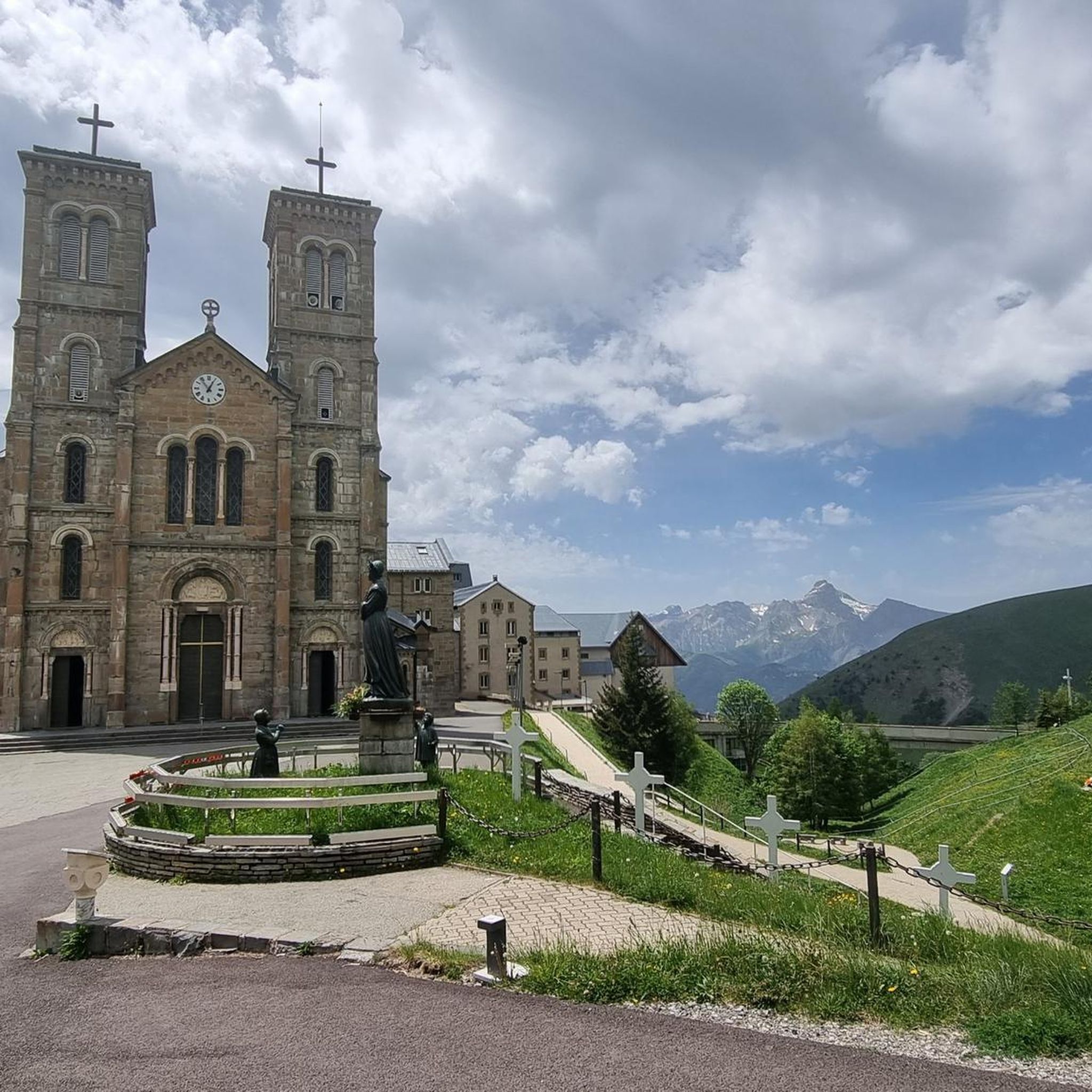
It's an ideal starting point for the hike. There is a shelter to have a snack, and it's a few minutes from the Sainte-Luce farm. In spring it's a known spot for flowers and particularly daffodils.
0
0

From Le Bourg-d'Oisans the pass is very pleasant to drive.
1
0

The Col d'Ornon, perched at 1,371 meters above sea level in the French Alps, is a captivating mountain pass offering spectacular views. Famous for cycling and hiking, its winding roads and trails invite adventure.
0
0

Traffic-calmed climb without extreme gradients. Fun to do from both sides.
3
0

Col can be VERY steep, especially from Entraigues. On the other side it is more lenient and accessible.
1
0

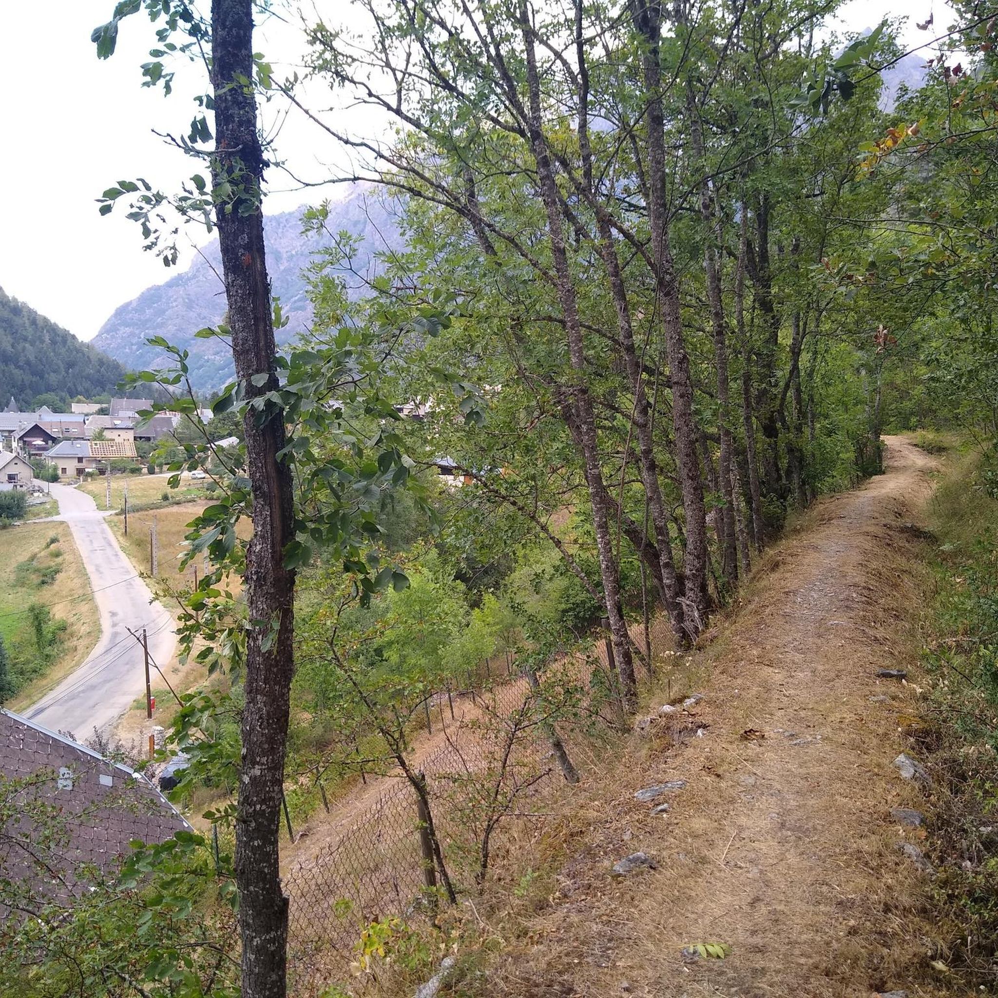
I added the SAMBY to avoid a round trip of the existing proposed hike in Visorando Departure in the Undergrowth by a forest track, it climbs well up to the Col du Plan Collet. on the left towards the CAVALE by the long ridge. on the right the SAMBY for the return by a path in the forest. nice view of the OBIOU, the triève, a superb view also of the summit of the Coiro in June, the flora is extraordinary the descent through the small valley all in bloom in JUNE really made you want to venture there I opted for a picnic at the edge of the small torrent using the ends of existing paths the path then is quite visible in the middle of the valley ps: as often by turning around from half of the valley we can clearly see the route when you reach the flat valley, you find old round walls and chamois the path is dotted from here on an old map to join the path of the climb continue the path skirting the hill and following the path sometimes clearly visible, sometimes it disappears some cairns still remain, I straightened them (the lilies of St Bruno dot the meadow) we join the path of the climb of the 1st stop we descend to the Col du Plan Collet
0
0

There are two sides to the Col d'Ornon. From La Paute, the climb is 11.2 km long with a total drop of 649 m. The average gradient is 5.8% with maximum gradients of 9%. From the Pont du Prêtre the climb is much longer. It is 21.9 km long with a total drop of 757 m. The average gradient is 3.2% with maximum gradients of 8%.
4
0

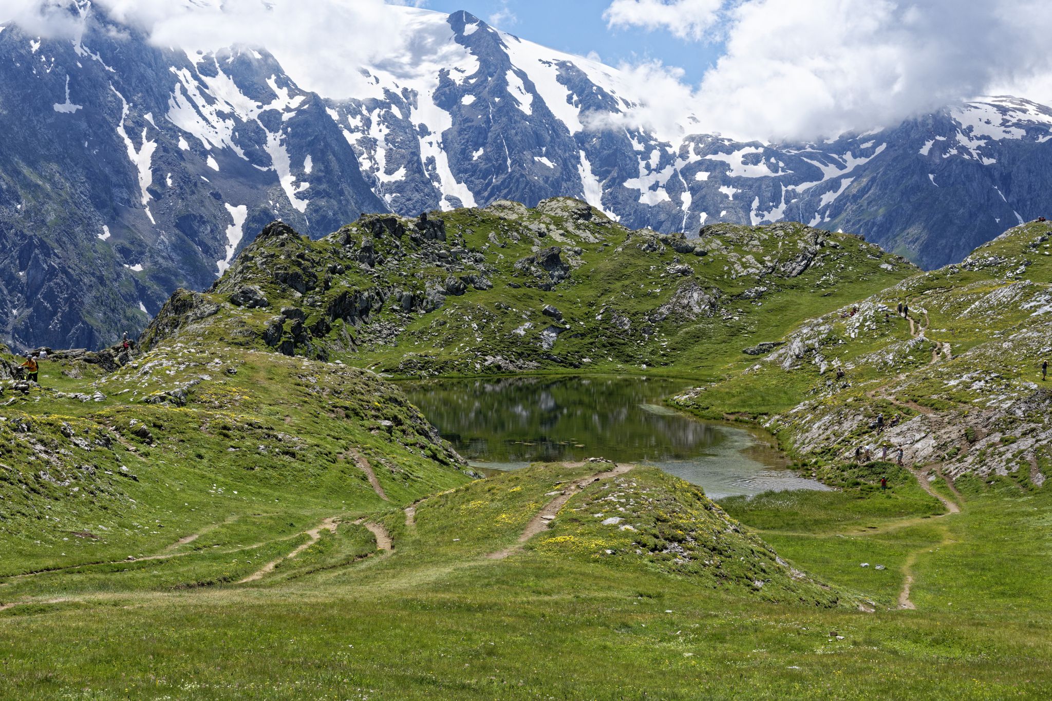
This pedestrian pass, located at 2,540 meters above sea level, acts as a belvedere to admire Lake Muzelle on one side and Lake Lauvitel on the other. The access to the pass is quite challenging with beautiful rocky and steep switchbacks. Be careful in case of rain. This crossing point of the GR 54 is essential.
0
0
Frequently Asked Questions
What kind of terrain can I expect when hiking mountain passes in Valjouffrey?
The terrain around Valjouffrey's mountain passes is diverse. You'll encounter everything from the mineral, high-alpine environment of Col de la Muzelle, with its challenging rocky sections, to the lush alpine meadows of Col de Côte Belle, abundant with asphodels and marmots. Passes like Vaurze Pass feature steep, wild landscapes, glacial cirques, and scree fields, sometimes requiring caution due to persistent snow.
Which mountain passes offer the most scenic viewpoints in Valjouffrey?
For breathtaking panoramas, Vaurze Pass is highly recommended, offering dizzying views beneath the Pic des Souffles and unique vistas of peaks like the Olan and the Sirac. Vallon Pass also serves as an excellent belvedere, providing views of Lake Muzelle on one side and Lake Lauvitel on the other.
Are there any unique natural attractions or geological features to see on these passes?
Yes, Col de Côte Belle is notable for its distinctive basalt columns, often referred to as 'orgues,' found on the edge of its south-facing pastures. This pass also offers a different natural beauty with its verdant alpine meadows, contrasting with the more rugged high-alpine passes.
What is the difficulty level for hiking these mountain passes?
Many passes in Valjouffrey, such as Col de la Muzelle and Vallon Pass, are considered demanding, requiring good physical condition and early starts. They often involve significant elevation gain, rocky sections, and sometimes steep switchbacks. Some routes, like those involving Col des Clochettes, are rated as very difficult due to substantial elevation changes and arduous scree field descents.
What outdoor activities can I do near the mountain passes in Valjouffrey?
Beyond hiking the passes themselves, Valjouffrey offers a range of outdoor activities. You can explore numerous hiking trails, including challenging loops like the 19 km circuit around Lake Muzelle. The region is also popular for cycling and mountain biking, with routes such as the Valbonnais Canal loop or the Sautet dam loop. For more details on routes, check out the guides for Hiking around Valjouffrey, Cycling around Valjouffrey, and MTB Trails around Valjouffrey.
Are there any multi-day trekking options that incorporate these passes?
Yes, several passes are integral to multi-day treks. Col de la Muzelle is a prestigious section of the GR54 long-distance hiking trail, and the Refuge de la Muzelle provides a stop for multi-day excursions. Col des Clochettes can also be part of challenging multi-day routes, such as a 12-hour trek connecting La Chapelle-en-Valgaudemar to Le Désert en Valjouffrey.
What are some tips for climbing <a href="https://www.komoot.com/highlight/304052" target="_blank" rel="noopener">Ornon Pass</a>?
Ornon Pass offers two distinct climbing sides. From La Paute, it's 11.2 km long with an average gradient of 5.8%. From Pont du Prêtre, it's longer at 21.9 km with an average gradient of 3.2%. It's known for being a small, nice climb with moderate slopes and large serpentines on the south side, and is generally traffic-calmed without extreme gradients, making it enjoyable from both directions.
What should I know about the descent from <a href="https://www.komoot.com/highlight/299157" target="_blank" rel="noopener">Parquetout Pass</a>?
The descent from Parquetout Pass can be quite varied. While the climb via St Michel is regular, the other side features steeper sections and a very winding, narrow road. The road surface can have a lot of gravel, which might make the descent tense, especially if you tend to pick up speed quickly. Caution is advised.
What is the best time of year to hike the mountain passes in Valjouffrey?
The best time to visit is generally during the warmer months when snow has melted, typically from late spring to early autumn. However, even later in the season, passes like Col de la Muzelle and Vaurze Pass can retain significant snow cover, especially on northern faces, requiring caution. June is particularly noted for the extraordinary flora around Plan Collet Pass.
Are there any refuges or shelters available near the passes?
Yes, for those undertaking multi-day treks, the Refuge de la Muzelle at 2,115m provides a welcome stop near Col de la Muzelle. Additionally, the Refuge des Souffles can be part of routes involving Col des Clochettes, offering further options for overnight stays.
What should I be aware of regarding weather conditions on these passes?
Mountain weather can change rapidly. Passes like Vallon Pass, with its rocky and steep switchbacks, can become particularly challenging and hazardous in case of rain. Always check forecasts before heading out, and be prepared for varying conditions, including potential snow even outside of winter months on higher passes.
Most popular routes around Valjouffrey
Most popular attractions around Valjouffrey

Get inspired with the komoot mobile app


Explore more
See even more epic mountain passes by checking out these guides around Valjouffrey:
