Top 9 Mountain Passes around Châteauneuf-D'Entraunes
Best mountain passes around Châteauneuf-D'Entraunes are found in the Alpes-Maritimes department of France, offering diverse experiences for visitors. The commune is situated between 872 meters and 2818 meters altitude, with landscapes transitioning from mid-mountain to alpine pastures and arid peaks. This region provides access to both well-known alpine passes and more secluded, local mountain trails. The area is part of the Mercantour National Park, featuring rich flora and fauna.
Best mountain passes around Châteauneuf-D'Entraunes
- The most popular mountain passes is…
Last updated: July 10, 2026
Cayolle Pass
Highlight • Mountain Pass
Translated by Google •
Tip by

Champs Pass
Highlight • Viewpoint
Translated by Google •
Tip by

Sign up now to discover places like this
Get recommendations on the best single tracks, peaks, & plenty of other exciting outdoor places.
Sign up for free
Ascent of Col de la Bonette from Saint-Étienne-de-Tinée
Highlight (Segment) • Climb
Translated by Google •
Tip by

Climbing the Col de la Cayolle from Barcelonnette
Highlight (Segment) • Climb
There's a place to stop for refreshments just before the pass.
Translated by Google •
Tip by

Ascent of the Col de la Cayolle from Saint-Martin-d'Entraunes
Highlight (Segment) • Mountain Pass
Translated by Google •
Tip by
Sign up for free to discover even more mountain passes around Châteauneuf-D'Entraunes.
Sign up for free
Already have an account?
Start today with a free account
Your next adventure awaits.
Login or Signup
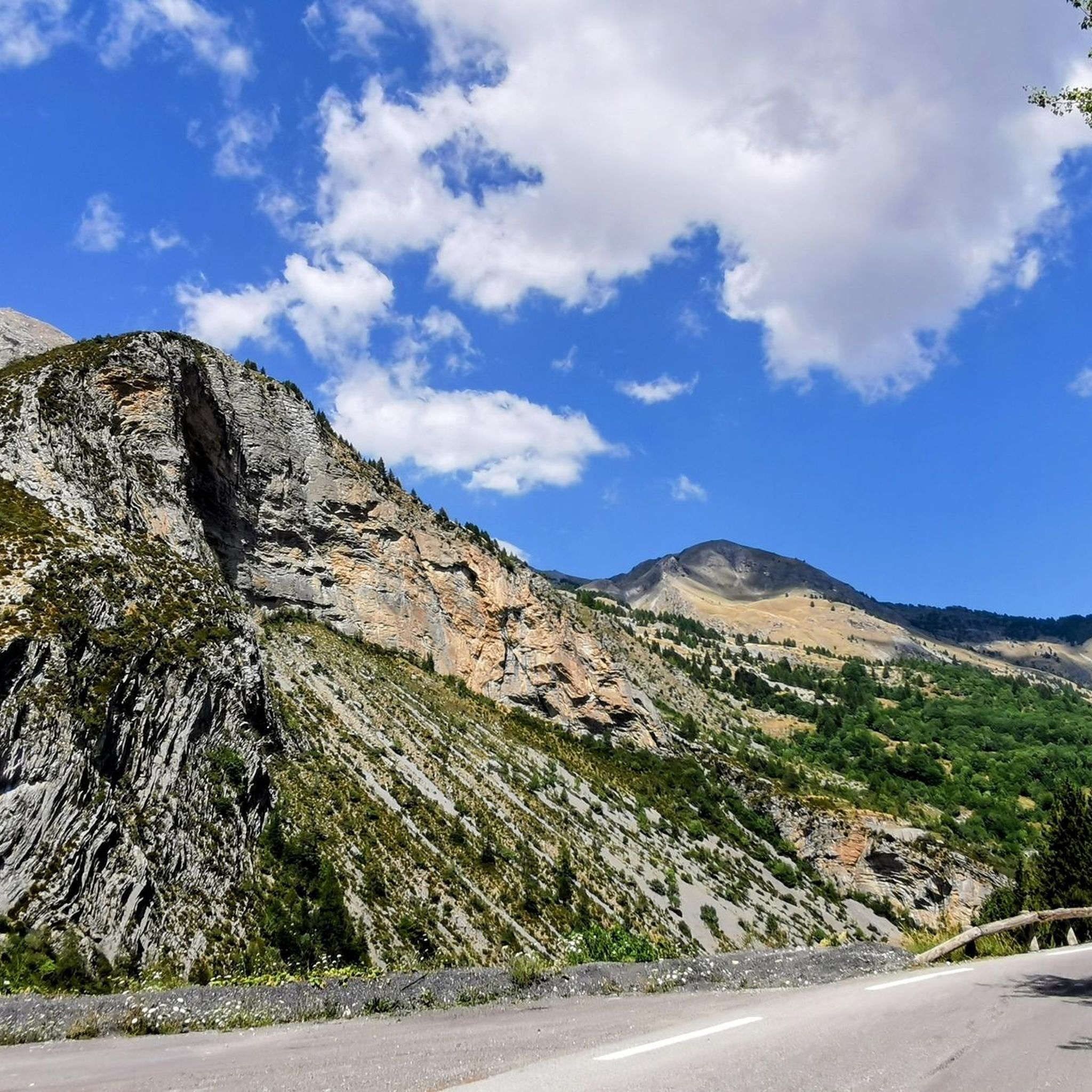
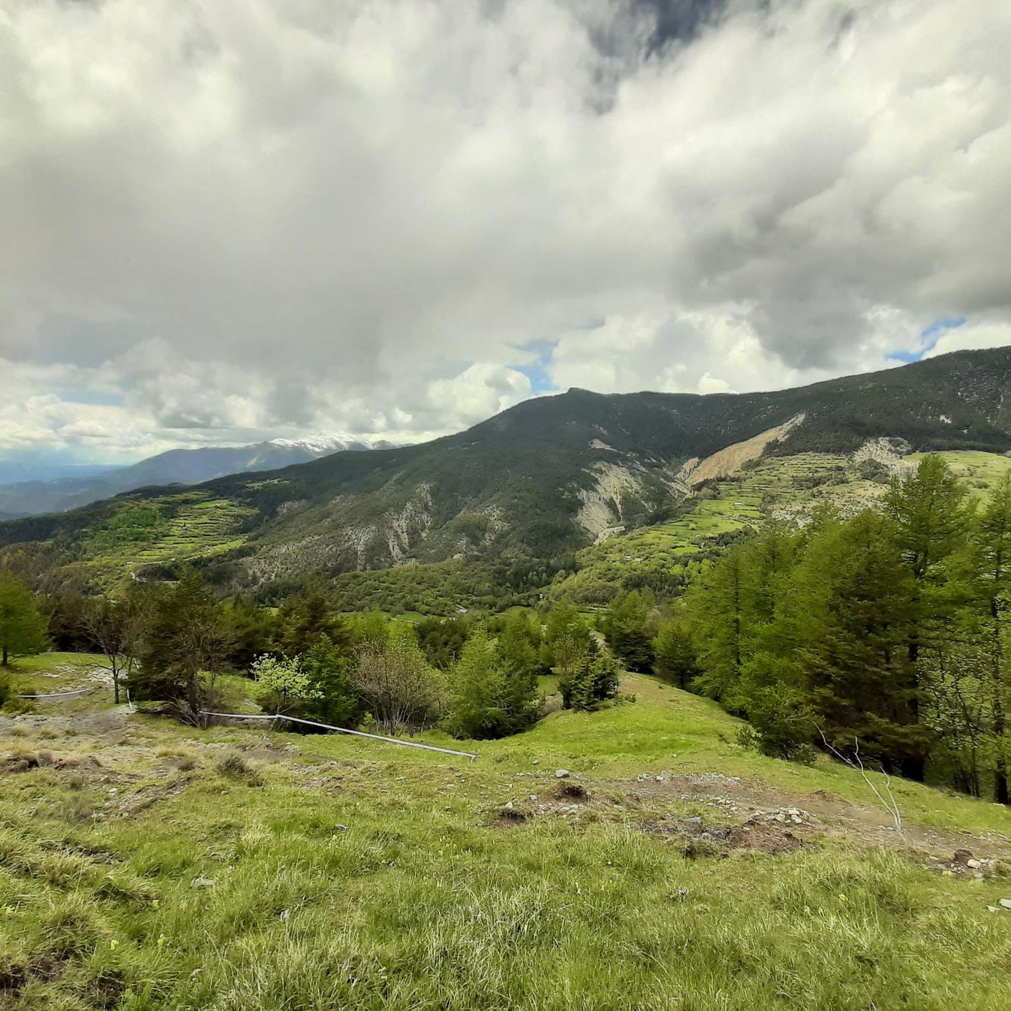
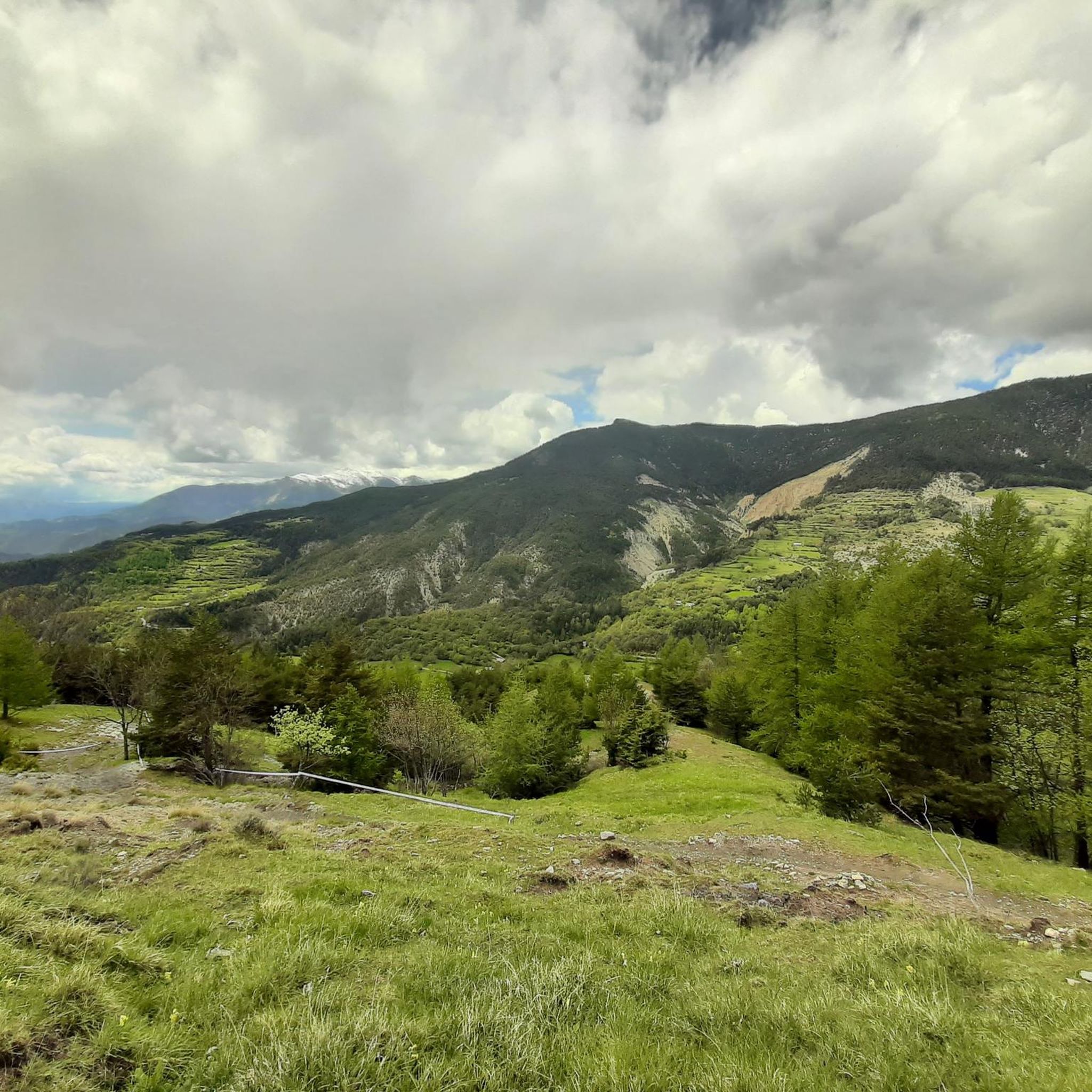
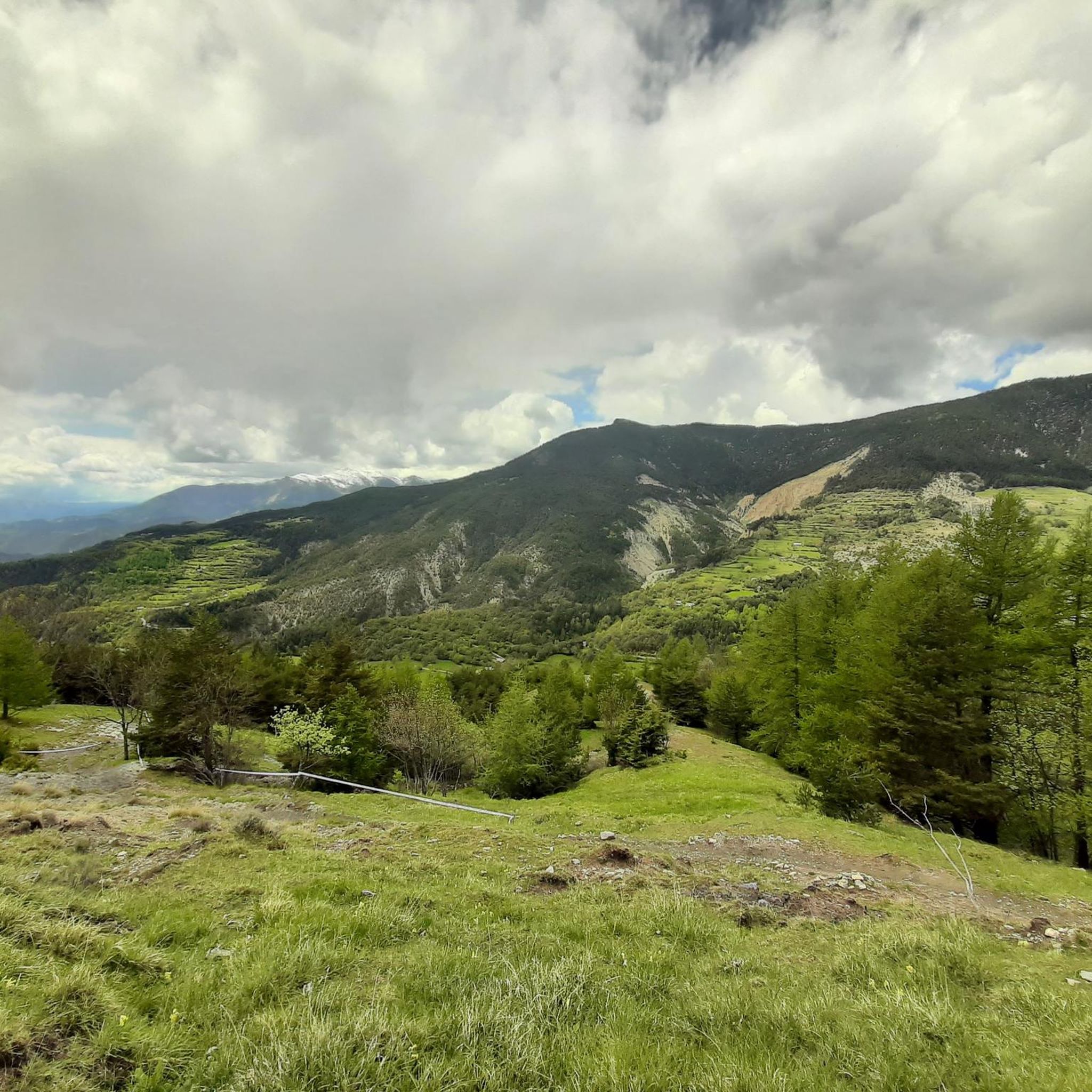

Tips from the Community

Here is the route for the ascent of the Col de la Cayolle starting from Barcelonnette.
1
0

The Col de la Cayolle is a mountain pass in the Southern Alps of France, located at an altitude of 2,324 meters, east of Mont Pelat (3,051 m). It crosses a watershed between the Alpes-Maritimes and Alpes-de-Haute-Provence departments. It is open for six to seven months of the year and thus allows travel between the Ubaye Valley to the north, via the Bachelard Valley, and the Var Valley to the south. It is not cleared of snow from December to May and is then closed to all traffic.
0
0

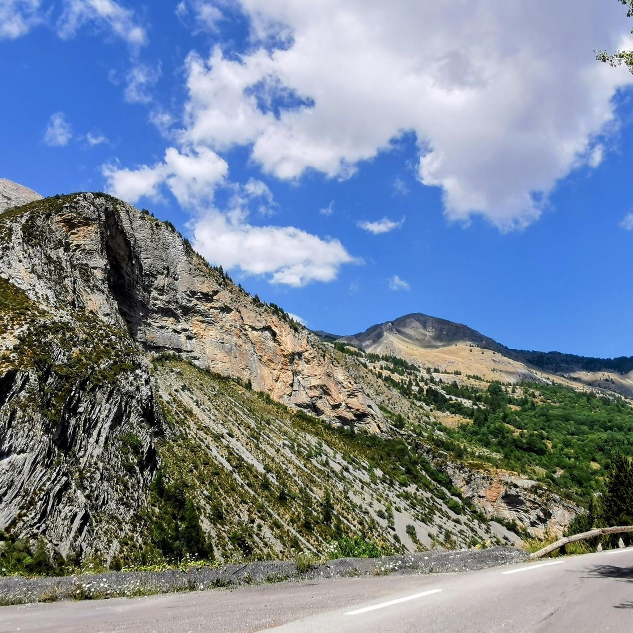
The French Alps offer unforgettable views.
14
0

The Col de la Cayolle deserves to be better known. From Saint-Martin-d'Entraunes, the climb is magnificent, spanning 20 kilometers at an average gradient of 6.3%. A magnificent hors catégorie climb at an altitude of 2,324 meters.
3
0

One of the most beautiful climbs on a low-traffic road.
0
0

This (southern) face of the Col de la Bonette is more spectacular than the north face and also a bit tougher, as it has more kilometers and more elevation gain. I've always done it downhill, so it's on my list of challenges.
0
0
Gorgeous pass with very little traffic and perfect asphalt.
18
0
A long climb but never too difficult, the views are stunning.
17
0
Frequently Asked Questions
What kind of landscapes can I expect to see on the mountain passes around Châteauneuf-D'Entraunes?
The region offers a diverse range of landscapes. For instance, the road to Cayolle Pass features green meadows, forests, waterfalls, and picturesque hamlets, winding through the Mercantour National Park. At higher elevations, such as around Col de la Bonette, you might encounter 'almost lunar' landscapes, especially near the Cime de la Bonette peak. The route to Les Tourres and Gorges de Saucha Négra offers a dramatic spectacle with tracks cut into high limestone cliffs.
When is the best time to visit the mountain passes near Châteauneuf-D'Entraunes?
Most high mountain passes in the region, like Cayolle Pass and Col de la Bonette, are typically closed in winter due to snow. They generally open from early June to mid-October. Late spring or early summer can offer unique views with snow-framed roads, while summer brings green landscapes and opportunities to spot wildlife.
Are there opportunities for cycling on these mountain passes?
Yes, the mountain passes around Châteauneuf-D'Entraunes are very popular for cycling. Cayolle Pass and Col de la Bonette are legendary climbs, having been featured in the Tour de France. The Ascent of Col de la Bonette from Saint-Étienne-de-Tinée offers a moderate gradient and generally light traffic, while Champs Pass is known for its smooth asphalt and long climbs.
What kind of wildlife can be seen in the Mercantour National Park around these passes?
Within the Mercantour National Park, which encompasses many of these passes, you have opportunities to spot rich flora and fauna. Marmots are commonly seen, especially in the green landscapes during summer. The park is known for its diverse ecosystems.
Are there any less-trafficked or more secluded mountain passes for hiking?
Within the commune of Châteauneuf-D'Entraunes, areas like the Pal and Trente Souches Passes are part of marked hiking trails. These offer a focus on natural beauty and trekking, allowing you to discover local flora and fauna away from major road crossings. The commune's landscape transitions rapidly from mid-mountain to alpine pastures and arid peaks, providing diverse hiking experiences.
What are some challenging routes for experienced cyclists or hikers?
For a challenging adventure, consider the route from Châteauneuf-D'Entraunes to Les Tourres and through the Gorges de Saucha Négra. Beyond a certain point, the asphalt degrades into a track, making it suitable for gravel or mountain bikes. This route provides a grandiose spectacle, traversing a track cut into high limestone cliffs several hundred meters above the Barlatte torrent, and includes a tunnel.
Are there any historical landmarks on the mountain passes?
Yes, the Col de la Bonette features ancient structures, such as former military barracks that were part of the Maginot Line, adding a historical dimension to the stunning natural scenery.
What are the difficulty levels for cycling the mountain passes in this region?
The difficulty levels vary. Climbs like the Ascent of Col de la Bonette from Saint-Étienne-de-Tinée have a moderate gradient, making them accessible for many cyclists. However, passes like Cayolle Pass involve challenging climbs, with the ascent from Saint-Martin-d'Entraunes spanning 20 kilometers at an average gradient of 6.3%. The route through the Gorges de Saucha Négra is also considered challenging, especially for gravel or mountain biking.
What other outdoor activities can I do near these mountain passes?
Beyond road cycling and hiking, the area around Châteauneuf-D'Entraunes offers various outdoor activities. You can explore numerous MTB Trails, including difficult loops like 'Sauze loop from Guillaumes'. There are also Running Trails, such as the 'La Bercha Summit (2,274 m) loop from Auron', and challenging Gravel Biking routes like the 'Gravel track Col de la Bonette – The Waterfall - Torrent de Vens loop'.
Are there any specific viewpoints or panoramic spots on the passes?
Many passes offer spectacular views. Near the summit of Cayolle Pass, you'll find a remarkable panorama. The Col de la Bonette, especially with its loop around the Cime de la Bonette peak, provides superb panoramic views where on clear days you can see prestigious peaks like Pelvoux, Viso, and Mont Pelat. Champs Pass is also noted for its stunning views.
What makes the Col de la Bonette unique?
The Col de la Bonette is recognized as the seventh-highest paved road in the Alps. A short loop around the Cime de la Bonette peak extends its altitude to 2,802 meters, making it the highest paved road in Europe. This unique feature, combined with its dramatic scenery and historical military barracks, makes it a truly special experience.
Most popular routes around Châteauneuf-D'Entraunes
Most popular attractions around Châteauneuf-D'Entraunes

Get inspired with the komoot mobile app


Explore more
See even more epic mountain passes by checking out these guides around Châteauneuf-D'Entraunes:
