The best road cycling routes around Châteauneuf-D'Entraunes
4.7
(112)
6,929
riders
36
rides
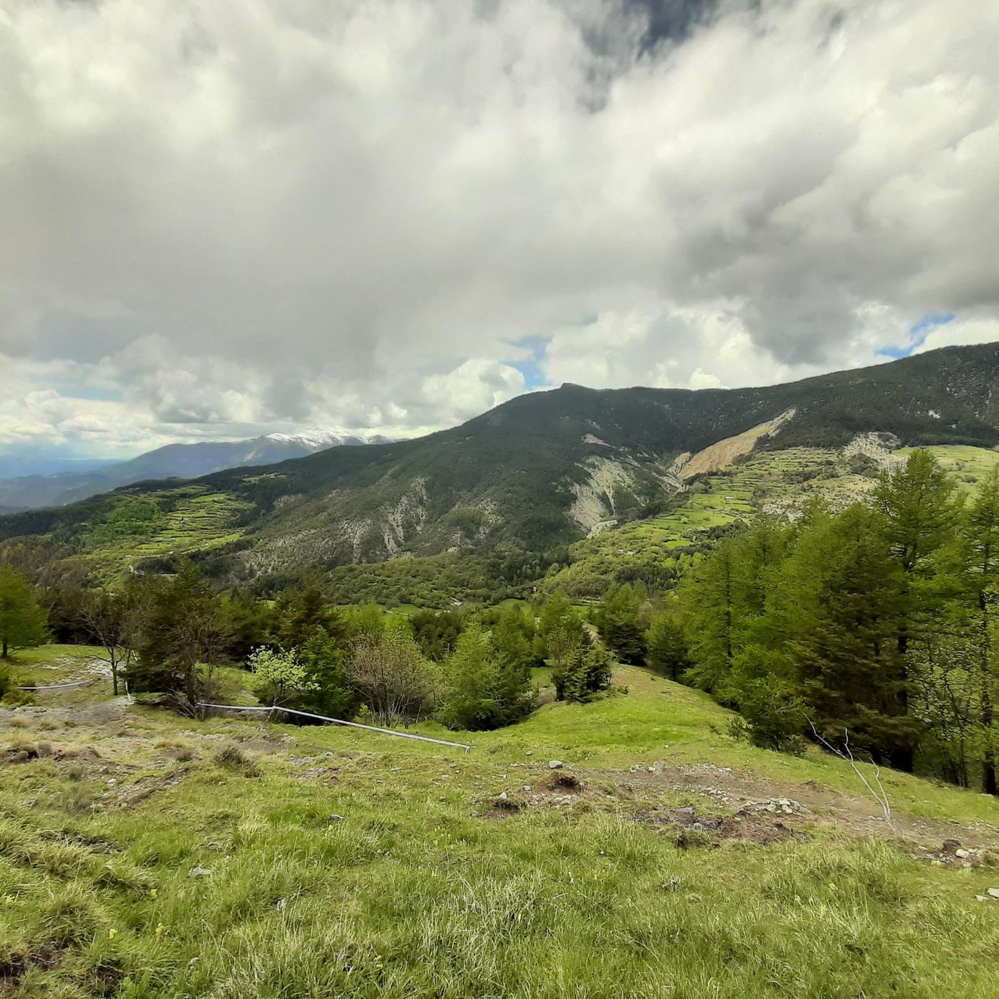
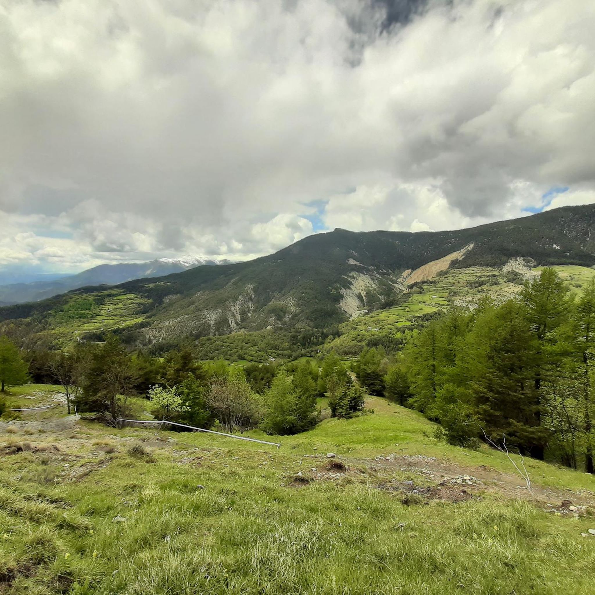
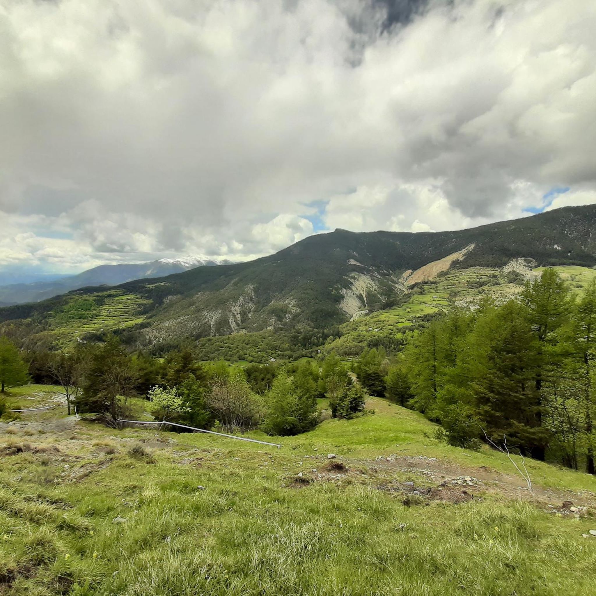
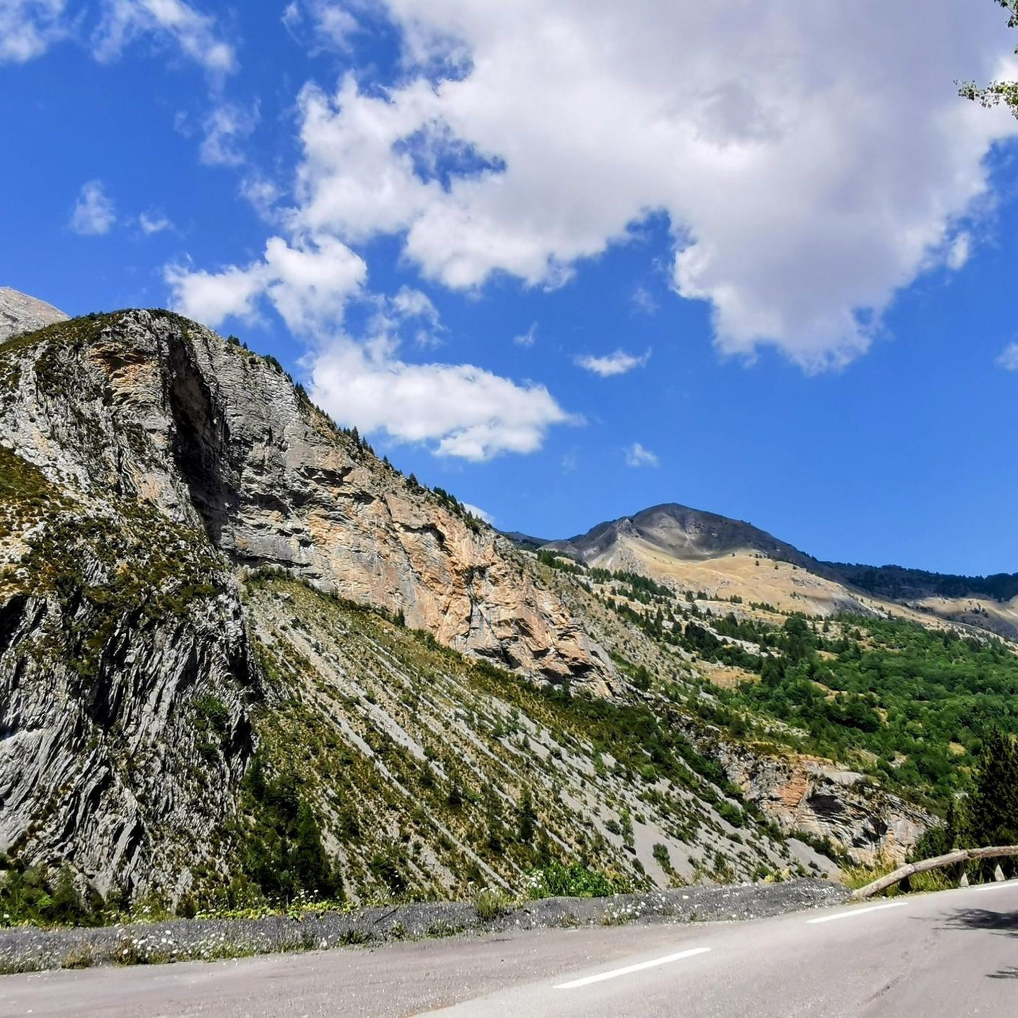
Road cycling routes around Châteauneuf-D'Entraunes are situated within the Alpes-Maritimes department, offering a mountainous landscape ideal for challenging rides. The region is characterized by dramatic topography, including impressive peaks and deep river valleys like the Var, often featuring well-paved surfaces. Cyclists can navigate through areas such as the Gorges de Daluis, known for its red sandstone formations, and explore routes within the Mercantour National Park. This environment provides a mix of sustained climbs and scenic descents.
Best road cycling routes…
Last updated: July 9, 2026
4.9
(8)
415
riders
81.2km
04:31
1,690m
1,690m
This difficult 50.5-mile road cycling route through the Daluis Gorges offers challenging climbs and stunning red rock scenery.
4.8
(4)
104
riders
27.6km
01:51
900m
900m
Moderate road ride. Good fitness required. Mostly well-paved surfaces and easy to ride.

Sign up for free
4.9
(15)
1,766
riders
136km
08:14
3,650m
3,650m
Hard road ride. Very good fitness required. Mostly well-paved surfaces and easy to ride.
5.0
(1)
105
riders
54.8km
03:24
1,520m
1,520m
Hard road ride. Very good fitness required. Mostly well-paved surfaces and easy to ride.
5.0
(2)
81
riders
66.0km
03:25
1,180m
1,180m
Hard road ride. Very good fitness required. Mostly well-paved surfaces and easy to ride.
Get access to more routes and recommendations from other explorers.
Sign up for free
Already have an account?
Our route recommendations are based on thousands of hikes, rides, and runs completed by other people on komoot.
Start today with a free account
Your next adventure awaits.
Login or Signup

Tips from the Community

The Col de Sainte-Anne is a pass at an altitude of 425 meters in the French department of Bouches-du-Rhône.
0
1
The Col de la Couillole is a mountain pass in the Massif du Mercantour-Argentera of the French Alps, situated at an altitude of 1,678 m (5,505 ft) in the Alpes-Maritimes department, France. The road connection is open for six to seven months of the year, allowing travel between the Cians gorges in the west and the Tinée valley in the east.
0
0
The Col de la Couillole is a mountain pass in the Massif du Mercantour-Argentera of the French Alps, situated at an altitude of 1,678 m (5,505 ft) in the Alpes-Maritimes department, France. The road connection is open for six to seven months of the year, allowing travel between the Cians gorges in the west and the Tinée valley in the east.
0
0

This crossing point is spectacular.
12
0

Tried and tested! There's still a long way to go to the top of the pass, so don't forget to stay hydrated.
0
1
Drinking water (tested and approved)!!
0
0


Very welcome drinking water fountain after the strenuous Col de Valberg
0
0
Frequently Asked Questions
How many road cycling routes are available around Châteauneuf-D'Entraunes?
There are over 30 road cycling routes available around Châteauneuf-D'Entraunes. These include 8 moderate routes and 24 difficult routes, offering a range of challenges for different fitness levels.
What kind of terrain can I expect on road cycling routes near Châteauneuf-D'Entraunes?
The region offers a mountainous landscape with dramatic topography, including impressive peaks and deep river valleys like the Var. You'll find mostly well-paved surfaces, but some segments may be unpaved and difficult. Expect sustained climbs and scenic descents, often passing through areas like the Gorges de Daluis with its striking red sandstone formations.
Are there road cycling routes suitable for beginners or less experienced riders in the area?
While many routes are challenging, there are 8 moderate road cycling routes available. These routes still offer significant elevation gain but are less demanding than the difficult options. For example, the Col de Valberg loop from Guillaumes is a moderate path that provides a good introduction to the region's climbs.
What scenic attractions can I discover while road cycling around Châteauneuf-D'Entraunes?
Road cycling routes often lead through the stunning Gorges de Daluis, known for its dramatic red sandstone. You can also explore the pristine environment of the Mercantour National Park. Notable natural features include the Cayolle Pass and the Champs Pass, offering breathtaking views. The region also features impressive peaks like the Sublime Point and Summit of Lausson.
Are there any notable mountain passes to cycle through in the region?
Yes, the area is renowned for its challenging mountain passes. Cyclists can tackle iconic climbs such as the Col de Champs, Col d'Allos, Col de la Cayolle, and the famous Col de la Bonette. Routes like the Cayolle Pass – Bride's Bridge loop from Guillaumes offer significant elevation gain over these passes.
What is the best time of year for road cycling in Châteauneuf-D'Entraunes?
The best time for road cycling is typically from late spring to early autumn, when the weather is most favorable and mountain passes are generally open. Passes like Col de la Cayolle, Col de Champs, Col d'Allos, and Col de la Bonette are usually open from late May or early June through October, depending on snow conditions.
Are there any specific regulations for cycling within the Mercantour National Park?
When cycling within the Mercantour National Park, it's important to respect the natural environment and local regulations. Generally, cycling is permitted on designated roads and trails. Always stay on marked paths, do not disturb wildlife, and carry out all your waste. For specific regulations regarding off-road cycling or protected areas, it's advisable to consult the official Mercantour National Park website.
Are there options for circular road cycling routes?
Yes, the region offers several excellent circular road cycling routes. For example, the Col de Valberg loop from Guillaumes and the Ascent to Col de la Couillole – Col de la Couillole loop from Guillaumes are popular choices that allow you to start and finish in the same location.
What do other road cyclists enjoy the most about road cycling in Châteauneuf-D'Entraunes?
The area is highly rated by the komoot community, with an average score of 4.8 stars from over 100 reviews. Reviewers often praise the challenging mountain passes, the dramatic gorges, and the pristine environment of the Mercantour National Park. The variety of routes, from moderate to difficult, also contributes to its appeal.
Are there any family-friendly cycling options in Châteauneuf-D'Entraunes?
While many routes in Châteauneuf-D'Entraunes involve significant elevation gain and are geared towards experienced cyclists, some of the moderate routes might be suitable for families with older, fit children. For younger families, it's recommended to look for flatter, dedicated cycling paths outside of the main mountain passes, or consider shorter, less strenuous sections of the valley routes.
Where can I find cafes or restaurants along the road cycling routes?
The charming village of Châteauneuf-D'Entraunes itself offers local amenities. Additionally, routes often pass through or near other villages like Guillaumes, Colmars-les-Alpes, Entrevaux, and Annot, where you can find cafes, restaurants, and accommodation. It's always a good idea to plan your route and check for available services in advance, especially on longer rides in remote areas.
Are there any historical sites or charming villages to visit near the cycling routes?
Absolutely. Beyond the picturesque Châteauneuf-D'Entraunes village, you can explore nearby historical sites. Colmars-les-Alpes features the historical Fort de Savoie, while Entrevaux is known for its medieval streets and a citadel. Annot is a unique village built amidst large boulders. The region also holds ruins of old castles and well-preserved fountains, adding a cultural dimension to your ride.
Most popular routes around Châteauneuf-D'Entraunes
Most popular attractions around Châteauneuf-D'Entraunes

Get inspired with the komoot mobile app


Explore more
Browse the best Road cycling routes in other regions.
