Châteauneuf-D'Entraunes
Châteauneuf-D'Entraunes
The best gravel rides around Châteauneuf-D'Entraunes
4.9
(7)
80
riders
4
rides
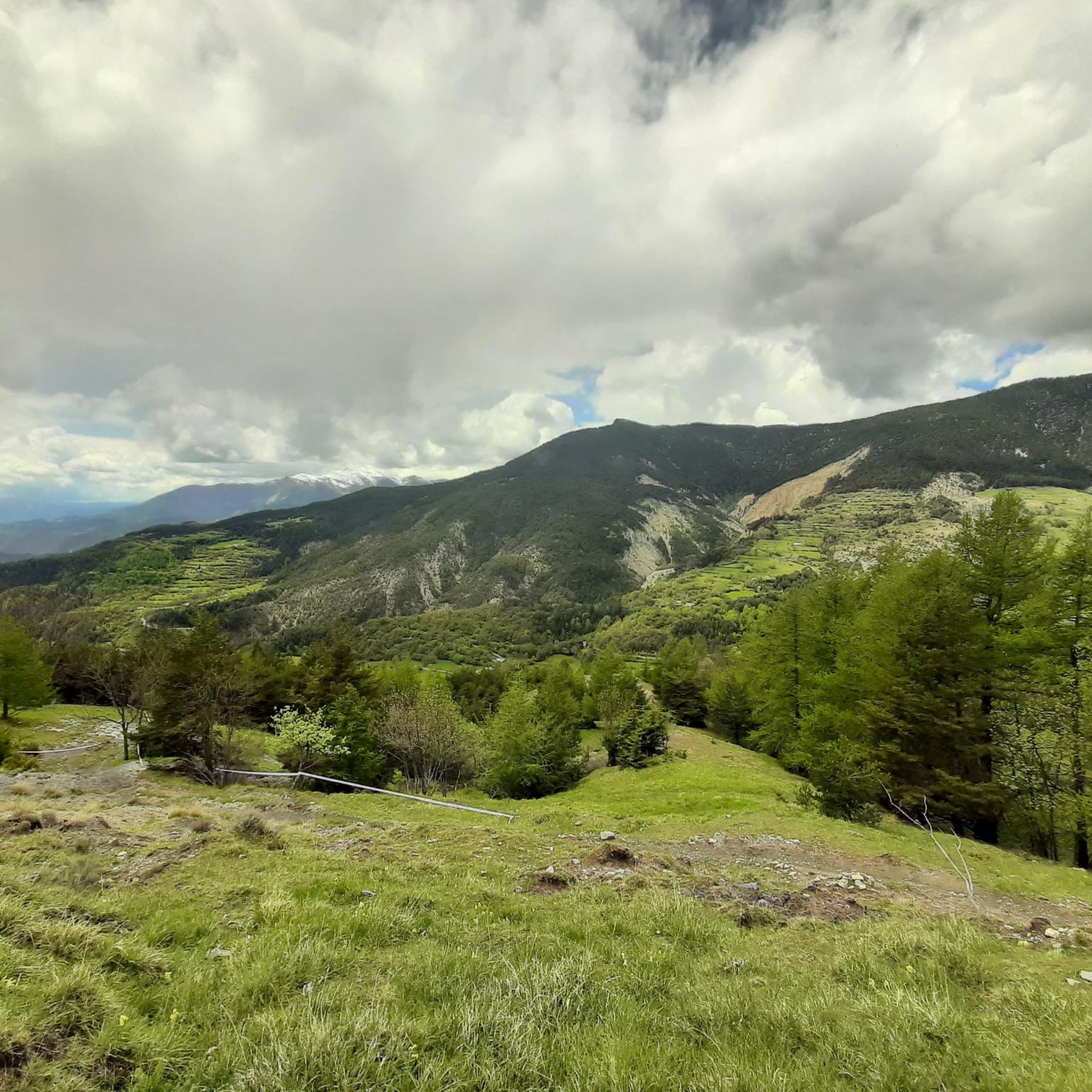
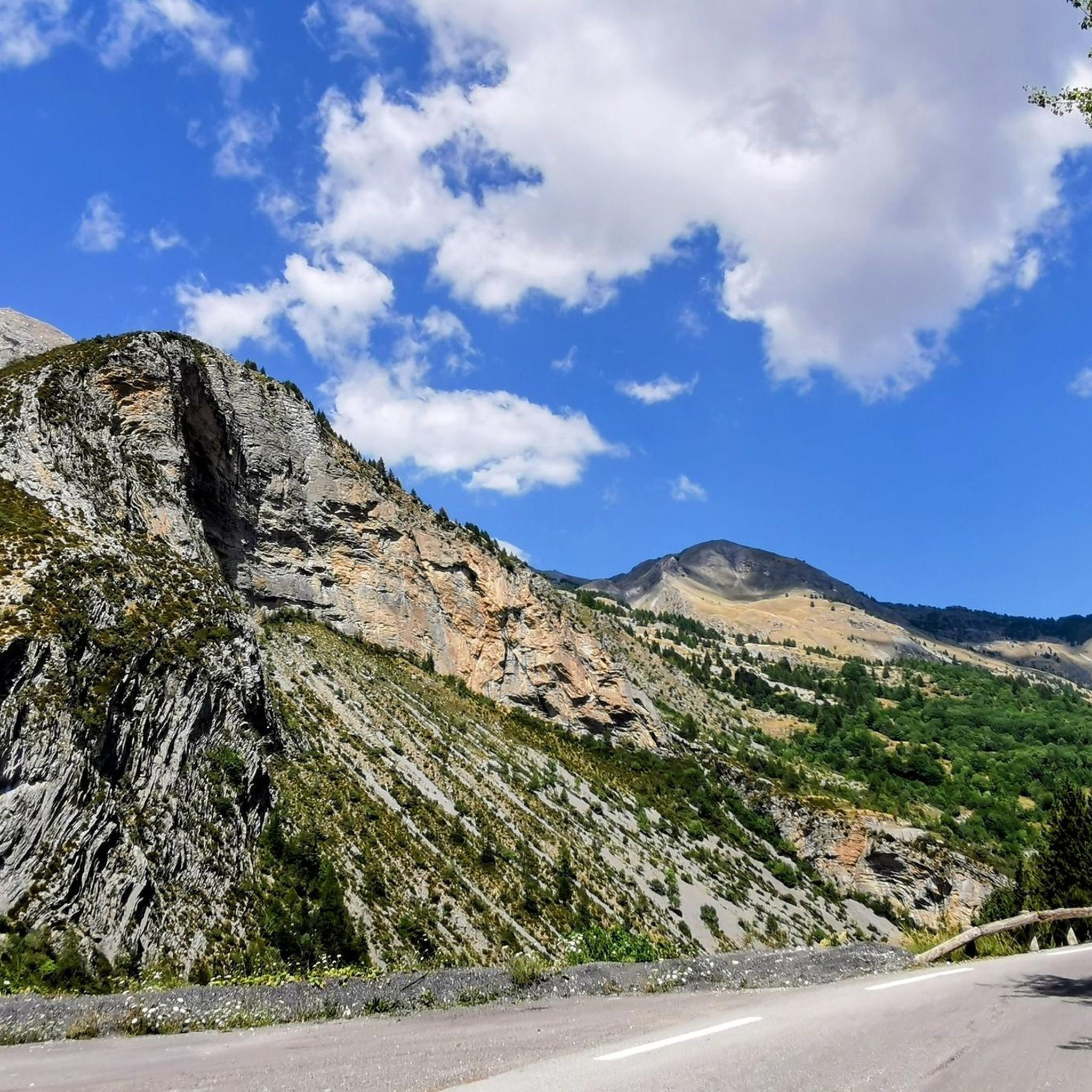
Gravel biking around Châteauneuf-D'Entraunes offers challenging routes through mountainous terrain. The region is characterized by high alpine passes, deep valleys, and a mix of forested sections and open, rocky landscapes. These trails often feature significant elevation changes, providing a demanding experience for gravel bikers.
Best gravel bike trails around Châteauneuf-D'Entraunes
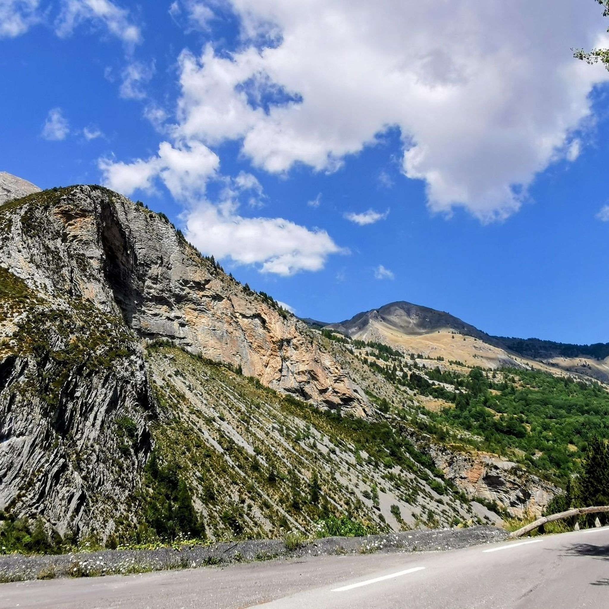
- The most popular gravel bike trail is Col du Raton – Raton loop from Valberg, a 15.7 miles (25.3 km) trail that takes 2 hours 21 minutes to complete.…
Last updated: July 16, 2026
4.7
(3)
15
riders
25.3km
02:22
630m
630m
Hard gravel ride. Very good fitness required. Mostly paved surfaces. Suitable for all skill levels.
5.0
(1)
27
riders
Hard gravel ride. Very good fitness required. Mostly paved surfaces. Suitable for all skill levels.

Sign up for free
5.0
(2)
14
riders
39.8km
03:26
1,000m
1,010m
Hard gravel ride. Very good fitness required. Mostly paved surfaces. Suitable for all skill levels.
6
riders
26.9km
02:40
1,010m
1,000m
Hard gravel ride. Very good fitness required. Mostly paved surfaces. Suitable for all skill levels.
13
riders
105km
08:49
3,220m
3,230m
Hard gravel ride. Very good fitness required. Mostly paved surfaces. Suitable for all skill levels.
Our route recommendations are based on thousands of hikes, rides, and runs completed by other people on komoot.
Start today with a free account
Your next adventure awaits.
Login or Signup
Tips from the Community

I rode up to the Col de Moutiere from Saint Etienne via Saint Dalmas, and then took the 3km of gravel road link to the Col de la Bonette. I returned to Saint Etienne via the more classic D64. It makes for a much quieter, wilder and steeper ascent, with a better (but busier) road surface and more gradual decline for the D64 descent. Also this way it's a loop and you see more of the incredible scenery. The 3km gravel section is very doable with my moutain bike (i would rate it as a 'blue'). I didnt need to carry or push the bike even though some parts were boken up by small water crossings. I was overtaken by a motorbike at one point. Be careful of the weather here, especially the potentially violent afternoon thunderstorms. There is no shelter nearby
0
0

Please note, I visited on October 12, 2025 and the fountain wasn't working! Perhaps it only works in the summer?
0
0

A splendid isolated pass accessible from Saint-Dalmas-le-Selvage, it allows an off-road ascent of the Bonette, passing through the sublime valleys of Sestrière and Sagnas to the pass itself, then via a beautiful gravel track under the north side of the Cime de la Bonette which joins the departmental road towards Jausiers, about two kilometers below the summit.
0
0
If there were a ranking of the most beautiful, undiscovered Alpine passes in the cycling world, the Moutière would certainly be a contender. Starting from Saint-Dalmas-le-Selvage, the climb through the valleys of Sestrière and Sagnas is simply sublime.
1
0
One of the most beautiful ways to reach the Bonette Pass from Saint Delmas le Selvage via the Col de la Moutière. Wild and isolated, the surroundings are breathtaking. However, be prepared for a long and difficult climb.
0
0

The Col de Sainte-Anne is a pass at an altitude of 425 meters in the French department of Bouches-du-Rhône.
0
1
The Col de la Couillole is a mountain pass in the Massif du Mercantour-Argentera of the French Alps, situated at an altitude of 1,678 m (5,505 ft) in the Alpes-Maritimes department, France. The road connection is open for six to seven months of the year, allowing travel between the Cians gorges in the west and the Tinée valley in the east.
0
0
The Col de la Couillole is a mountain pass in the Massif du Mercantour-Argentera of the French Alps, situated at an altitude of 1,678 m (5,505 ft) in the Alpes-Maritimes department, France. The road connection is open for six to seven months of the year, allowing travel between the Cians gorges in the west and the Tinée valley in the east.
0
0
Frequently Asked Questions
What is the general difficulty level of gravel biking in Châteauneuf-D'Entraunes?
Gravel biking in Châteauneuf-D'Entraunes is primarily suited for advanced riders. All routes in the area are classified as difficult, featuring significant elevation changes, high alpine passes, and challenging terrain. Expect demanding climbs and descents through mountainous landscapes.
Are there any family-friendly gravel bike trails in Châteauneuf-D'Entraunes?
Due to the challenging nature of the terrain, with all routes classified as difficult and featuring significant elevation gains, there are no specific family-friendly gravel bike trails recommended for beginners or young children in Châteauneuf-D'Entraunes.
What kind of terrain can I expect on gravel bike trails in Châteauneuf-D'Entraunes?
The terrain in Châteauneuf-D'Entraunes is characterized by high alpine passes, deep valleys, and a mix of forested sections and open, rocky landscapes. You will encounter varied surfaces and significant elevation changes, providing a demanding experience for gravel bikers.
Are there any circular gravel bike routes available?
Yes, several routes are circular. For example, the Col du Raton – Raton loop from Valberg is a 25.3 km loop, and the Col de la Couillole – Col de Sainte-Anne loop from Valberg covers 39.8 km through alpine valleys.
What are some of the longer gravel bike routes in the region?
For a longer challenge, consider the View of the Gorges du Var – Col de la Couillole loop from Valberg, which spans 104.6 km with over 3,200 meters of elevation gain. Another substantial option is the Gravel track Col de la Bonette – The Waterfall - Torrent de Vens loop from Saint-Étienne-de-Tinée, a 56.9 km route traversing high mountain terrain.
What can I see along the gravel bike trails in Châteauneuf-D'Entraunes?
The routes offer stunning alpine scenery. While riding, you might pass by beautiful natural features such as Lake Allos or the Lacs de Lignin. The region is also home to impressive peaks like Sublime Point and Mont Mounier, offering expansive views.
Are there any specific scenic viewpoints on the gravel bike trails?
Many trails offer panoramic views of the surrounding alpine landscape. The routes often traverse high mountain passes, providing numerous opportunities for breathtaking vistas. For example, the View of the Gorges du Var – Col de la Couillole loop from Valberg specifically highlights a view of the Gorges du Var.
What do other gravel bikers enjoy most about the trails in Châteauneuf-D'Entraunes?
The area is highly rated by the komoot community, with an average score of 5.0 stars. Reviewers often praise the challenging nature of the routes, the remote alpine scenery, and the significant elevation changes that provide a rewarding experience for advanced riders.
Are there any trails that pass by lakes or waterfalls?
Yes, the Gravel track Col de la Bonette – The Waterfall - Torrent de Vens loop from Saint-Étienne-de-Tinée specifically mentions 'The Waterfall' and 'Torrent de Vens' in its name, indicating scenic water features along the route. Additionally, the region features several lakes such as Lake des Garrets and Little Cayolle Lake.
Is there a route that explores high mountain pastures?
Yes, the The Demandols cow sheds – Estive Lake loop from Auron is a great option. This route takes you through areas known for their 'cow sheds' and 'Estive Lake', suggesting a journey through traditional high mountain pastures.
What is the best time of year for gravel biking in Châteauneuf-D'Entraunes?
Given the high alpine nature of the region, the best time for gravel biking is typically from late spring to early autumn (June to September) when mountain passes are clear of snow and weather conditions are most stable. Always check local weather and trail conditions before heading out.
What should I wear for gravel biking in this mountainous region?
Due to the significant elevation changes and high alpine environment, weather can change rapidly. It's advisable to wear layers, including a windproof and waterproof jacket, even in summer. Appropriate cycling gear, gloves, and a helmet are essential. Sun protection is also crucial at higher altitudes.
Most popular routes around Châteauneuf-D'Entraunes
Most popular attractions around Châteauneuf-D'Entraunes

Get inspired with the komoot mobile app


Explore more
Browse the best Gravel rides in other regions.
