The best walks and hikes around Clamensane
4.4
(127)
791
hikers
57
hikes
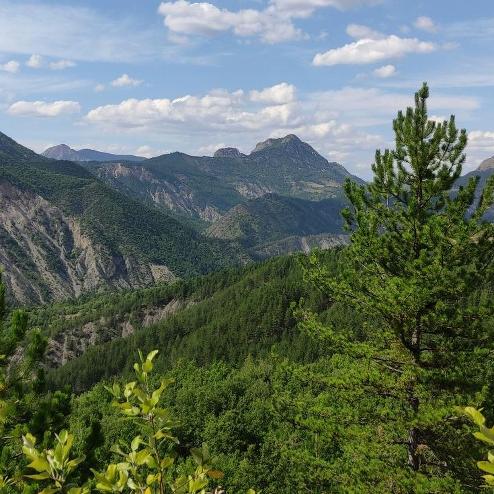
Hiking around Clamensane offers a diverse landscape characterized by varied elevations and natural features. The region includes paths that traverse hillsides, providing expansive views, and routes that follow watercourses. Trails often lead through areas with historical structures and natural landmarks like waterfalls. The terrain ranges from gentle slopes suitable for easy walks to more challenging ascents.
Best hiking trails around Clamensane
- The most popular hiking route is The Sagnières aqueduct, an easy 3.8 miles (6.1 km) trail that takes…
Last updated: October 12, 2026
4.8
(24)
84
hikers
6.06km
01:47
180m
180m
Easy hike. Great for any fitness level. Easily-accessible paths. Suitable for all skill levels.
4.5
(6)
27
hikers
13.1km
04:23
640m
640m
Moderate hike. Good fitness required. Easily-accessible paths. Suitable for all skill levels.

4.8
(4)
21
hikers
9.35km
02:57
360m
370m
Moderate hike. Good fitness required. Easily-accessible paths. Suitable for all skill levels.
4.0
(1)
12
hikers
6.06km
01:49
180m
180m
Easy hike. Great for any fitness level. Easily-accessible paths. Suitable for all skill levels.
4.0
(1)
8
hikers
11.0km
03:08
260m
260m
Moderate hike. Good fitness required. Easily-accessible paths. Suitable for all skill levels.
Get access to more routes and recommendations from other explorers.
Already have an account?
Our route recommendations are based on thousands of hikes, rides, and runs completed by other people on komoot.
Start today with a free account
Your next adventure awaits.
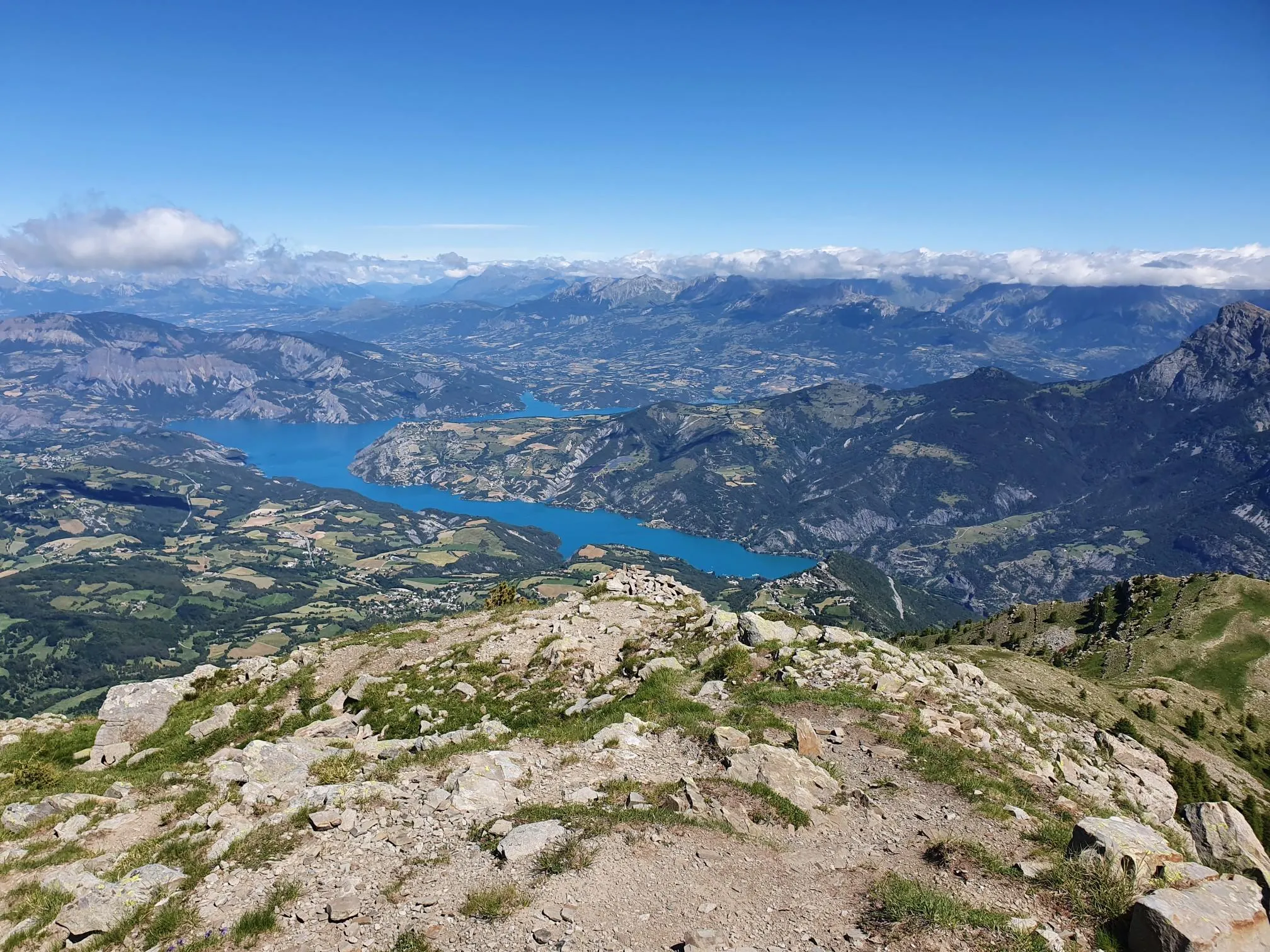
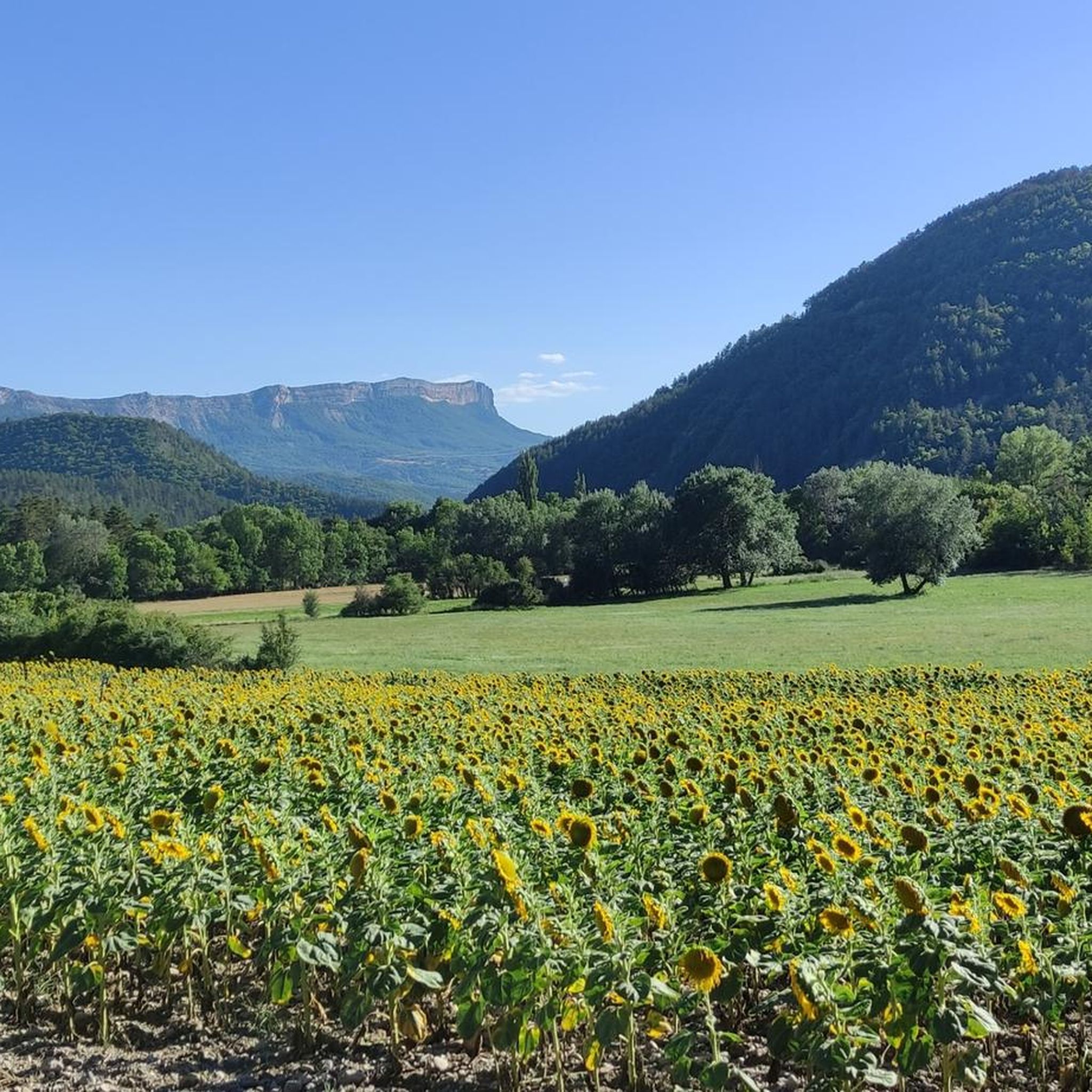
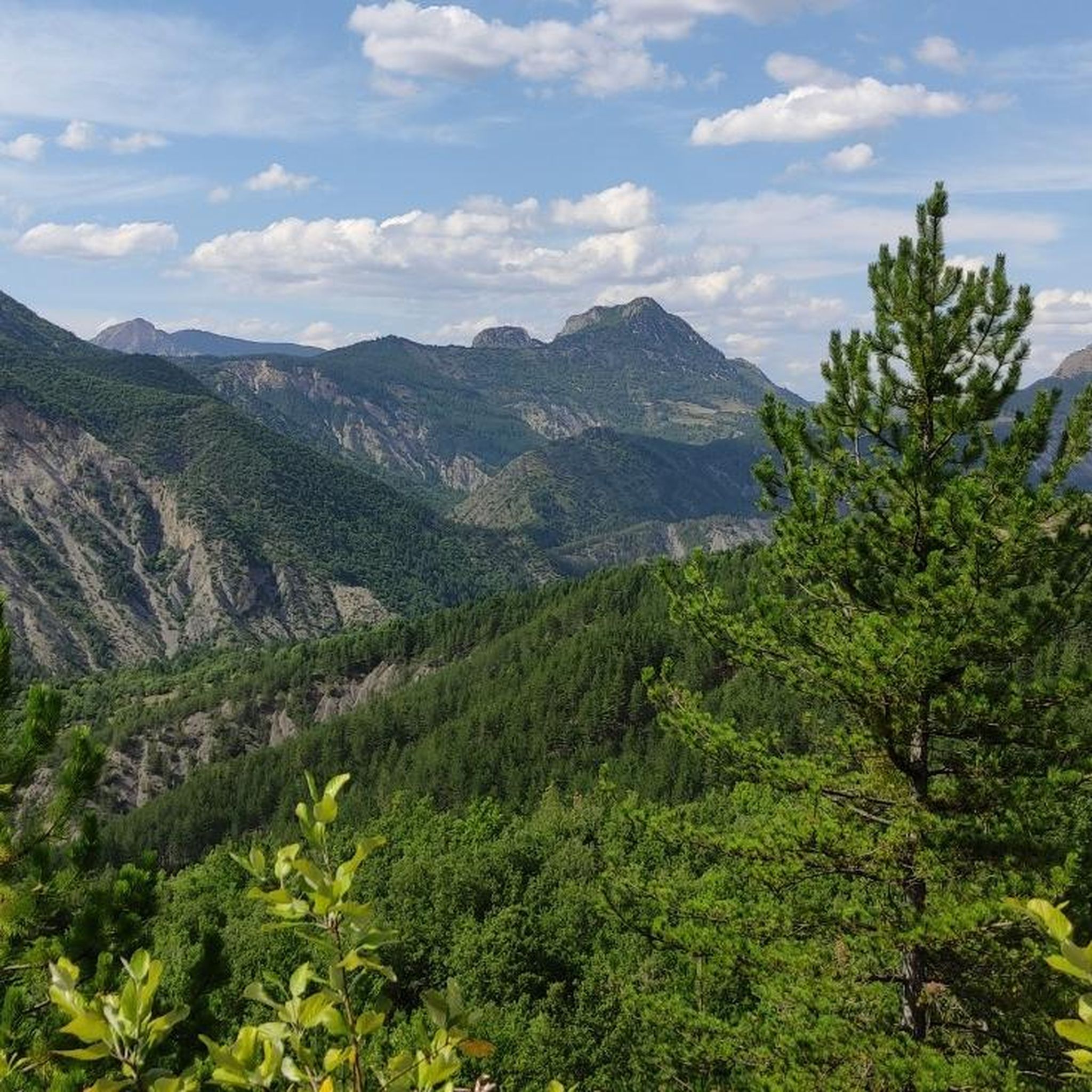
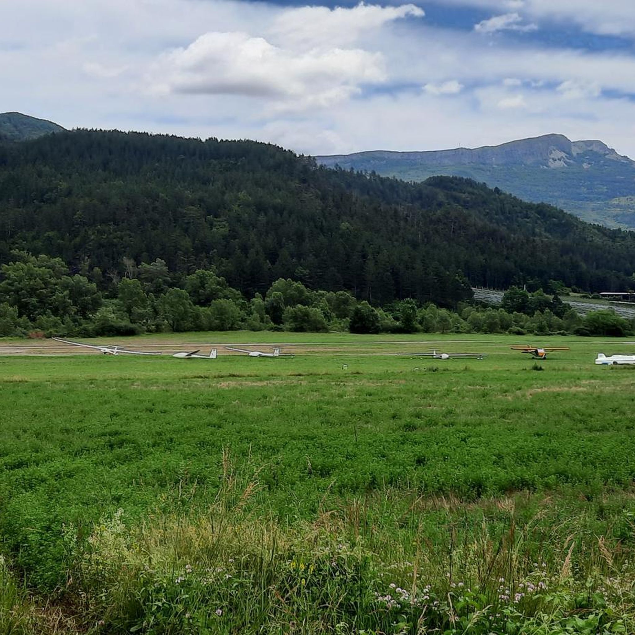
Other adventures around Clamensane

Tips from the Community

Are you cycling here on your racing bike? Then the fun ends. Although Komoot didn't indicate it, this turned out to be no longer asphalt. Perhaps it's asphalt again further on, but that's for a gravel biker to discover 😉. Personal tip: cycle to the waterfall sign. Have a drink and then descend again. The descent is also beautiful!
0
0
Shortly before this, you'll encounter a stretch of accessible gravel, suitable for a road bike, and the descent is also no problem. Then comes a stretch of asphalt that immediately puts your legs to the test with sections up to 18% gradient. A bit further on, the asphalt finally ends, unfortunately.
0
0

Located in the Prealps of Digne, near the confluence of the Sasse and the Vermeil, this small village dates back to Antiquity. Renowned for its wine-growing activity, it is also known for its agricultural operations, notably with the production of two AOCs and nine IGPs.
1
0

Traffic-free road with a beautiful view of the surrounding passes.
3
0

A very beautiful shaded path leads you to the very discreet Sagnières aqueduct. This Roman construction shows how much the inhabitants of the time gave water all their attention. Sagnières in Old French means marsh, wet meadow. This explains the presence of this small technical feat.
1
0
Located in the Pre-Alps of Digne, Clamensane is surrounded by beautiful mountains. From the village you are close to the gorges of La Clastre and that of Sagnières.
1
0
Frequently Asked Questions
How many hiking trails are available around Clamensane?
There are over 50 hiking trails around Clamensane, offering a wide range of options for different skill levels and preferences. The komoot community has explored more than 700 of these routes.
What is the general difficulty level of hikes in Clamensane?
The trails around Clamensane offer a mix of difficulties. You'll find 12 easy routes, 29 moderate routes, and 15 more challenging trails, ensuring there's something for everyone from beginners to experienced hikers.
Are there easy hikes suitable for beginners in Clamensane?
Yes, Clamensane has several easy hikes perfect for beginners. A great option is The Sagnières aqueduct, an easy 3.8-mile (6.1 km) trail that takes less than two hours to complete and features a historical aqueduct.
Can I find circular hiking routes in Clamensane?
Yes, many of the trails around Clamensane are circular, allowing you to start and end at the same point. For example, the View of Clamensane – Route des Graves loop from Clamensane is a popular moderate circular route offering panoramic views.
Are there any waterfalls to see on hikes near Clamensane?
Absolutely! The region is known for its natural water features. You can hike to the beautiful Reynier Waterfall, which is part of the End of the fun – Reynier Waterfall loop from Reynier trail.
What natural landmarks or attractions can I explore while hiking in Clamensane?
Beyond the trails themselves, you can discover several natural landmarks. Highlights include the Les Monges and Coste Belle Summit for impressive views, and the The Vanson river. Don't miss the historical Aqueduc des Sagnieres.
What is the best time of year to go hiking in Clamensane?
The best times to hike in Clamensane are typically spring and autumn. During these seasons, the weather is mild and pleasant, making for comfortable hiking conditions. Summer can be hot, especially at midday, while winter might bring colder temperatures and occasional snow at higher elevations.
Are the trails around Clamensane suitable for families with children?
Many trails in Clamensane are suitable for families, especially the easier routes. Look for trails with shorter distances and minimal elevation gain. The The Sagnières aqueduct is a good example of a family-friendly option.
Are dogs allowed on the hiking trails in Clamensane?
Generally, dogs are welcome on hiking trails in the Clamensane region. However, it's always recommended to keep them on a leash, especially in areas with livestock or protected wildlife, and to clean up after them.
Where can I find parking for hiking trails in Clamensane?
Parking is typically available in or near the villages and at designated trailheads. For specific routes, check the tour details on komoot, as many start points will indicate nearby parking facilities.
What do other hikers say about the trails in Clamensane?
The trails in Clamensane are highly rated by the komoot community, with an average score of 4.5 stars from over 100 reviews. Hikers often praise the diverse landscapes, the panoramic views, and the well-maintained paths that lead to natural and historical landmarks.
Are there challenging hikes for experienced hikers in Clamensane?
Yes, for those seeking a challenge, Clamensane offers 15 difficult routes. Trails like the Viewpoint Alps loop from Le Caire, with its significant elevation gain, provide a more strenuous experience and rewarding views.
Most popular attractions around Clamensane

Get inspired with the komoot mobile app


Explore more
Browse the best Hikes in other regions.
