The best road cycling routes around Calacuccia
4.9
(132)
2,593
riders
38
rides
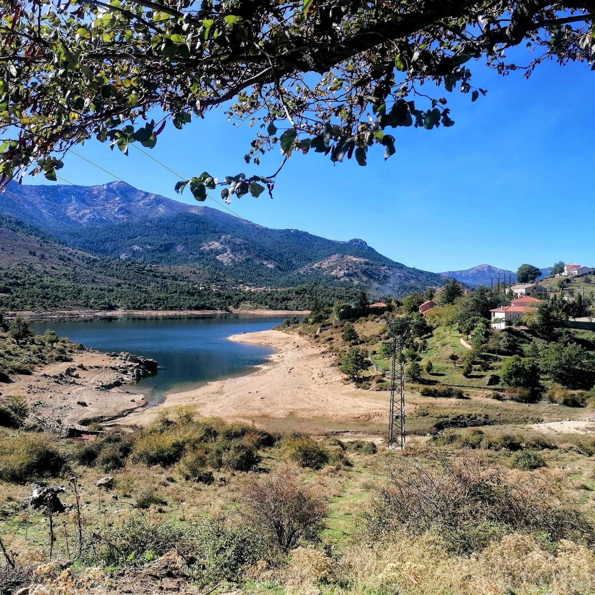
Road cycling around Calacuccia offers routes through Corsica's mountainous Niolu region, characterized by dramatic landscapes, deep forests, and valleys. The area features significant natural elements such as the artificial Lac de Calacuccia and the rugged Scala di Santa Regina Gorge. Paved roads wind through this terrain, providing varied elevation profiles for road cyclists.
Best road cycling routes around Calacuccia
- The most popular road cycling route is Restonica Valley Trail, a 19.2 miles (30.9 km) trail that takes 2 hours…
Last updated: July 12, 2026
5.0
(10)
129
riders
30.9km
02:03
970m
970m
Hard road ride. Very good fitness required. Mostly well-paved surfaces and easy to ride.
4.0
(1)
10
riders
24.1km
01:18
480m
480m
Moderate road ride. Good fitness required. Mostly well-paved surfaces and easy to ride.

Sign up for free
4.9
(18)
752
riders
130km
07:48
3,060m
3,060m
Hard road ride. Very good fitness required. Some segments of this route may be unpaved and difficult to ride.
4.9
(21)
230
riders
50.5km
02:38
910m
910m
Hard road ride. Very good fitness required. Mostly well-paved surfaces and easy to ride.
4.7
(23)
244
riders
72.0km
03:37
1,200m
1,200m
Hard road ride. Very good fitness required. Mostly well-paved surfaces and easy to ride.
Get access to more routes and recommendations from other explorers.
Sign up for free
Already have an account?
Our route recommendations are based on thousands of hikes, rides, and runs completed by other people on komoot.
Start today with a free account
Your next adventure awaits.
Login or Signup
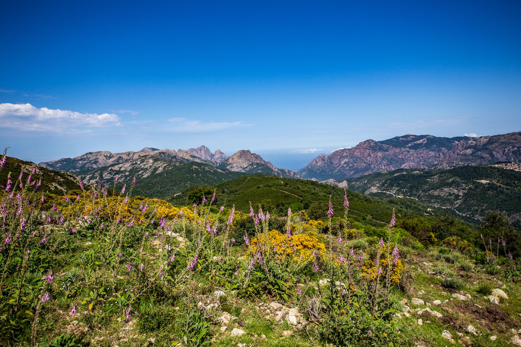
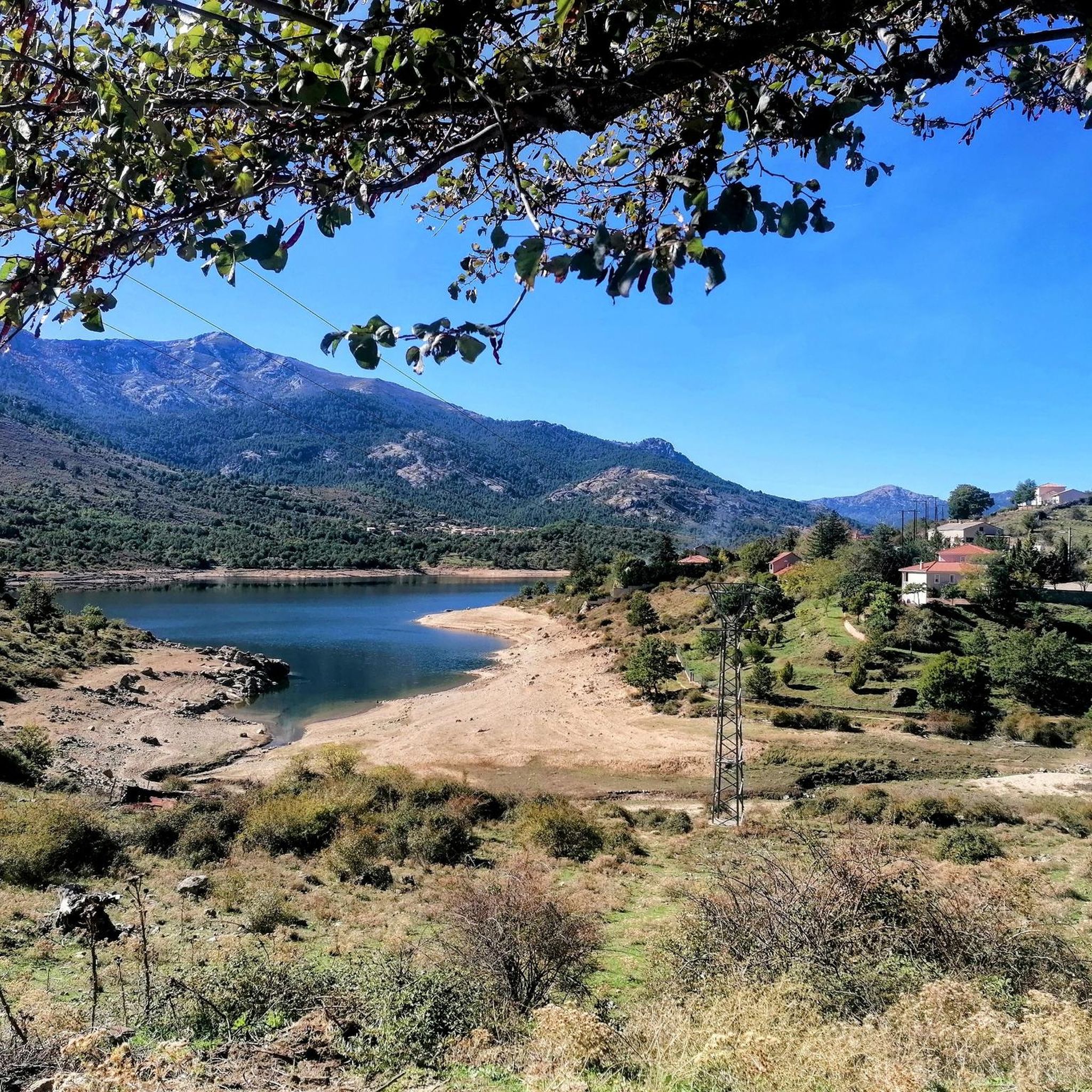
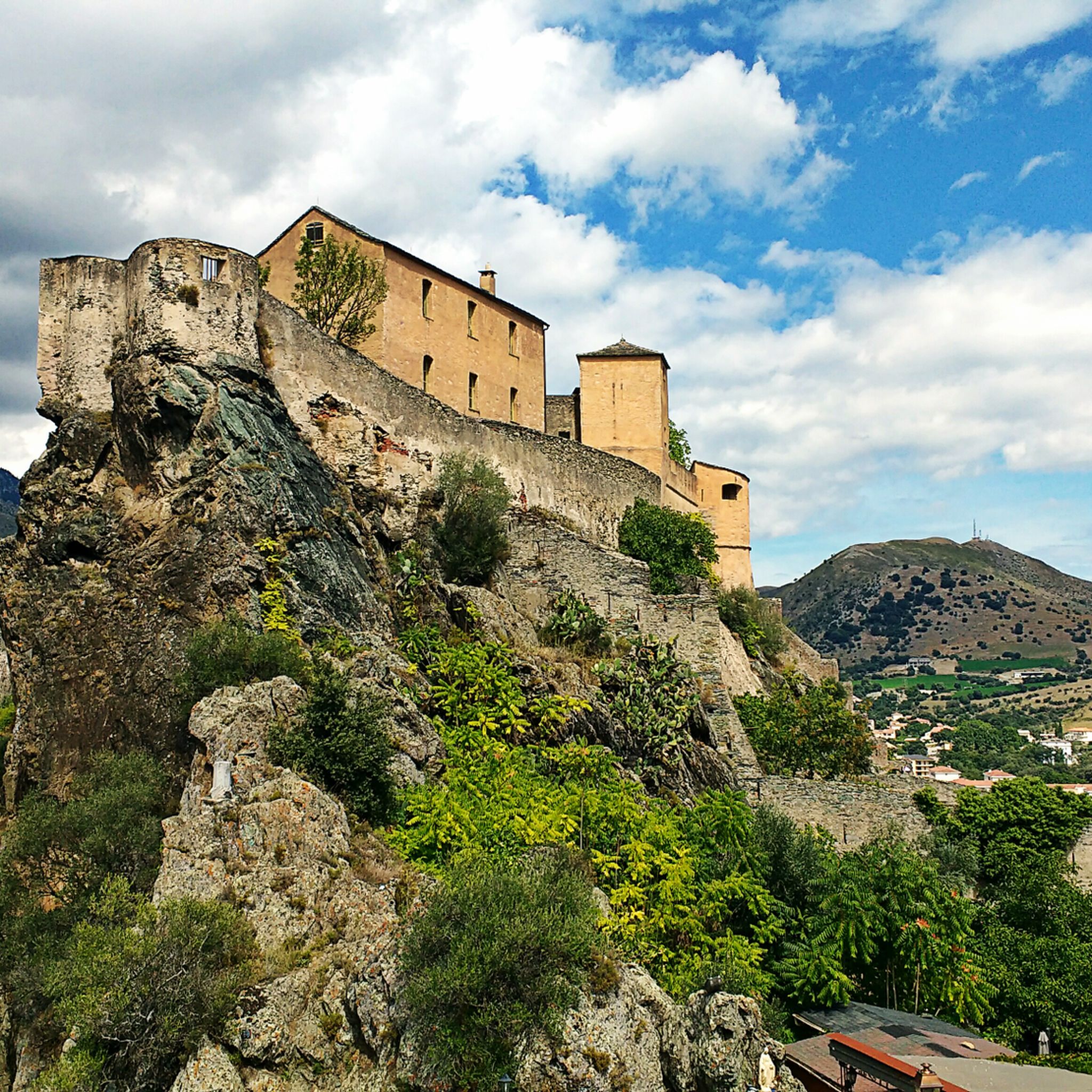
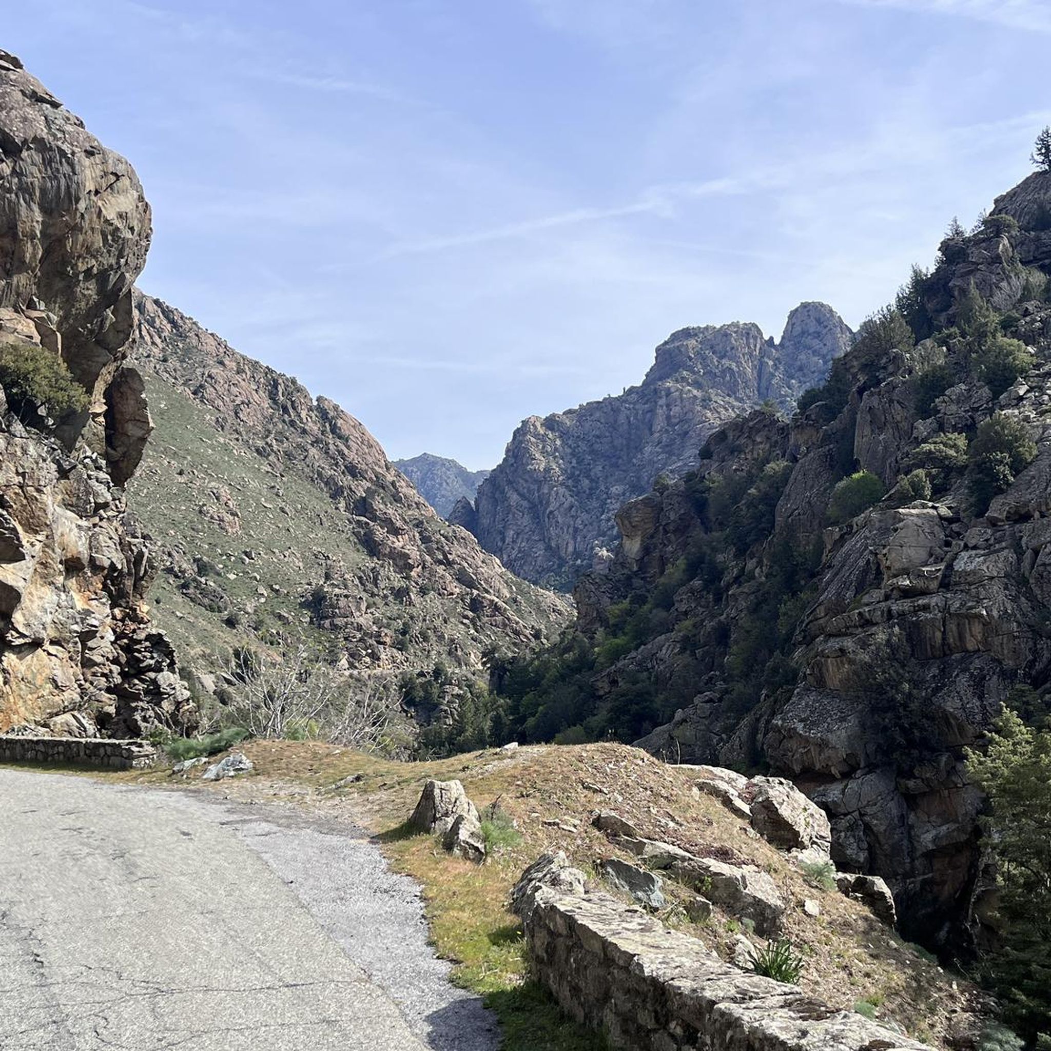

Other adventures around Calacuccia

Tips from the Community

Beautiful route. Very quiet, only local traffic. Beautiful views. Fantastic descent after Bustanico with wide asphalt and gentle curves. 10 km of downhill riding at its finest.
0
0


View of the five-arch bridge of the Scala di Santa Regina. A very popular photo motif.
0
0

Beautiful town, great end to a small tour from Porto to the bridge and then to Ota
0
0


Attention: April 2024: Bridge collapsed, you can't get all the way into the valley!!
1
0

The Vergio Pass culminates at 1,467 meters above sea level. It connects Haute-Corse and Corse-du-Sud, as well as the two sides of the island, from the interior. It is one of the meeting points between the GR 20 and the GT 20.
1
1
Frequently Asked Questions
What is the general difficulty level of road cycling routes in Calacuccia?
Road cycling routes in Calacuccia primarily range from moderate to difficult. The region is known for its mountainous terrain, offering sustained climbing and significant elevation gains. For example, the Restonica Valley Trail is considered difficult, while the Calacuccia — lake loop is a moderate option.
What kind of terrain can I expect on road cycling routes around Calacuccia?
You can expect primarily paved roads winding through dramatic mountainous landscapes. The terrain includes alpine roads, deep gorges like the Scala di Santa Regina, and views of mountain lakes. Routes often feature sustained climbing, such as the Niolu Circuit with an average gradient of 5.2%.
What natural features and landmarks can I see while cycling in Calacuccia?
Calacuccia's routes offer views of the stunning Niolu Mountain Region, the serene Lac de Calacuccia, and the dramatic Scala di Santa Regina Gorge. You'll also be cycling under the imposing peaks of the Monte Cinto Massif, including Monte Cinto and Paglia Orba. The Calacuccia — lake loop specifically offers views of the lake.
Are there any specific viewpoints along the road cycling routes?
Many routes offer panoramic vistas due to the mountainous terrain. The Scala di Santa Regina Gorge itself provides dramatic views. The Calacuccia — lake loop provides scenic views of Lac de Calacuccia and the surrounding mountains. The Niolu Circuit, passing through Col de Vergio, also offers high-altitude perspectives.
When is the best time of year for road cycling in Calacuccia?
Given the mountainous nature of the Niolu region, the best time for road cycling is typically from late spring through early autumn (May to October) when the weather is milder and mountain passes are clear of snow. Summer offers warm conditions, but spring and autumn provide pleasant temperatures for sustained climbs.
Are there family-friendly road cycling routes in Calacuccia?
While many routes in Calacuccia are moderate to difficult, some shorter, less challenging sections might be suitable for families with older, experienced children. The Calacuccia — lake loop is a moderate option that could be considered, but it's important to assess the family's cycling ability due to the region's inherent elevation changes.
What do other road cyclists enjoy the most about road cycling in Calacuccia?
The area is highly rated by the komoot community, with an average score of 4.9 stars from over 100 reviews. Cyclists often praise the dramatic landscapes, the challenge of the climbs, and the breathtaking views of natural features like Lac de Calacuccia and the Scala di Santa Regina Gorge.
How many road cycling routes are available around Calacuccia?
There are over 40 road cycling routes available around Calacuccia, catering to various skill levels. This includes 3 easy routes, 10 moderate routes, and 27 difficult routes, ensuring options for both casual riders and experienced climbers.
Are there any cultural or historical sites near the cycling routes?
Yes, beyond the natural beauty, you can explore cultural sites. The 17th-century Saint-Pierre-et-Saint-Paul Church in Calacuccia village is notable. Just 2 km west, the Saint-François Convent, dating back to 1600, offers lodging and an ethnographic museum. The town of Corte, approximately 27 km away, also boasts a citadel and museums.
Can I find cafes or restaurants along the road cycling routes in Calacuccia?
Calacuccia itself, being a village, offers some amenities. For longer routes, especially those traversing through other villages in the Niolu region like Albertacce, you may find small cafes or restaurants. It's always advisable to carry sufficient water and snacks, especially on more remote sections.
Are there any waterfalls to see near the road cycling routes?
Yes, the region is home to beautiful waterfalls. While cycling, you might be able to access areas leading to highlights such as Radule waterfall or Abri d’Antia Waterfall, often requiring a short detour or hike from the main road.
What is the longest road cycling route available from Calacuccia?
One of the longest and most challenging routes is the Sea view – Vergio Pass loop from Monte Albanu, which spans approximately 129.8 km (80.7 miles) and includes significant elevation gain through high mountain passes.
Most popular attractions around Calacuccia

Get inspired with the komoot mobile app


Explore more
Browse the best Road cycling routes in other regions.
