Top 10 Mountain Passes around Puyvalador
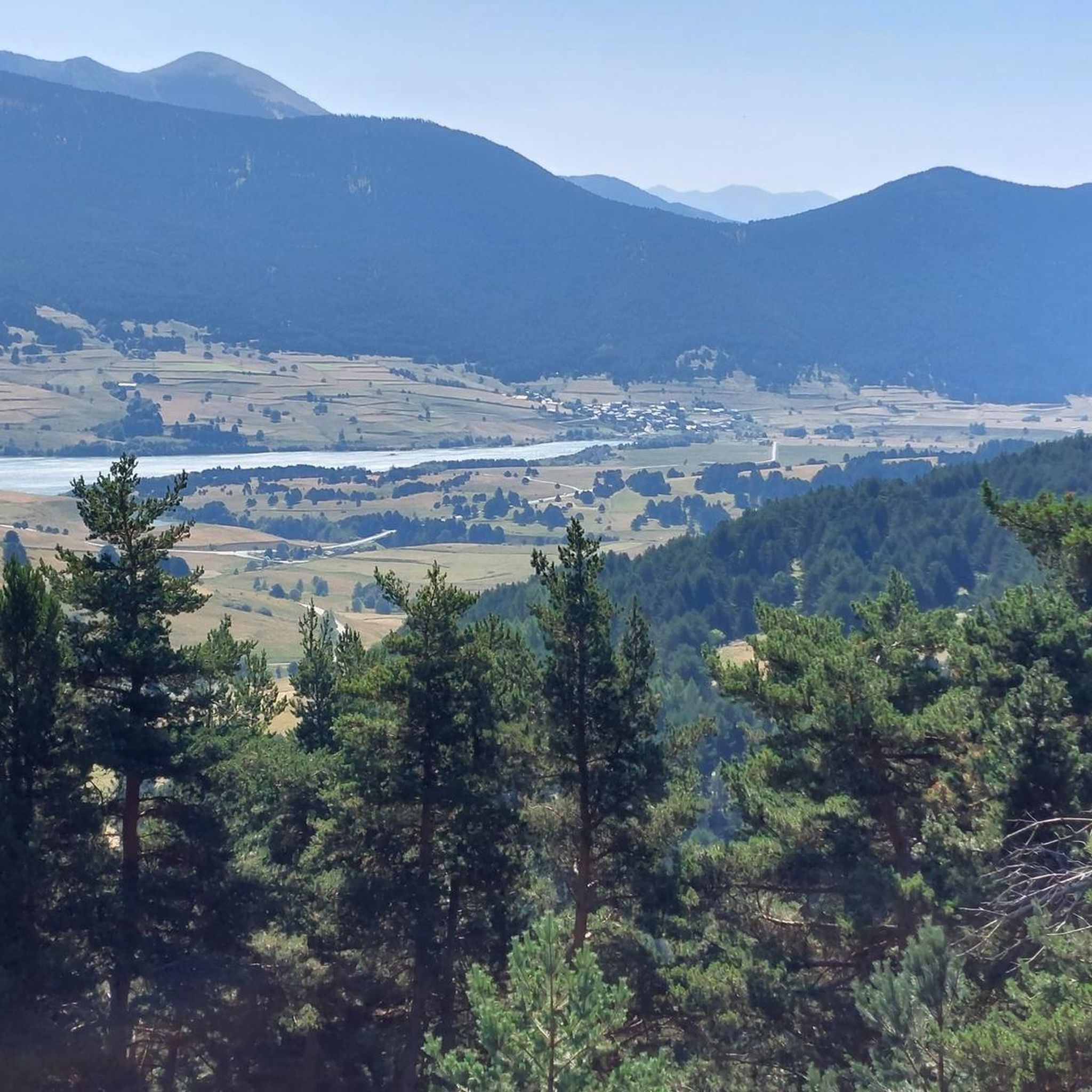
Best mountain passes near Puyvalador are situated in the mountainous Capcir region of the Pyrénées-Orientales department in southern France. This area, part of the Regional Natural Park of the Catalan Pyrenees, features an ancient glacial basin at over 1,400 meters in altitude. The landscape is characterized by pine forests and peaks, with elevations ranging from 1,351 to 2,363 meters. The region offers a natural setting for exploring its varied terrain.
Best mountain passes around Puyvalador
- The most popular mountain pass…
Last updated: June 26, 2026
Pailhères Pass
Highlight • Mountain Pass
Translated by Google •
Tip by

Col de la Creu
Highlight • Mountain Pass
Translated by Google •
Tip by

Sign up now to discover places like this
Get recommendations on the best single tracks, peaks, & plenty of other exciting outdoor places.
Sign up for free
Col du Garavel (1256 m)
Highlight • Mountain Pass
Translated by Google •
Tip by

Col de Pailhères (Elevation 2,000 m)
Highlight • Mountain Pass
Translated by Google •
Tip by

Col de Jau
Highlight • Mountain Pass
Translated by Google •
Tip by

Sign up for free to discover even more mountain passes around Puyvalador.
Sign up for free
Already have an account?
Start today with a free account
Your next adventure awaits.
Login or Signup


Tips from the Community

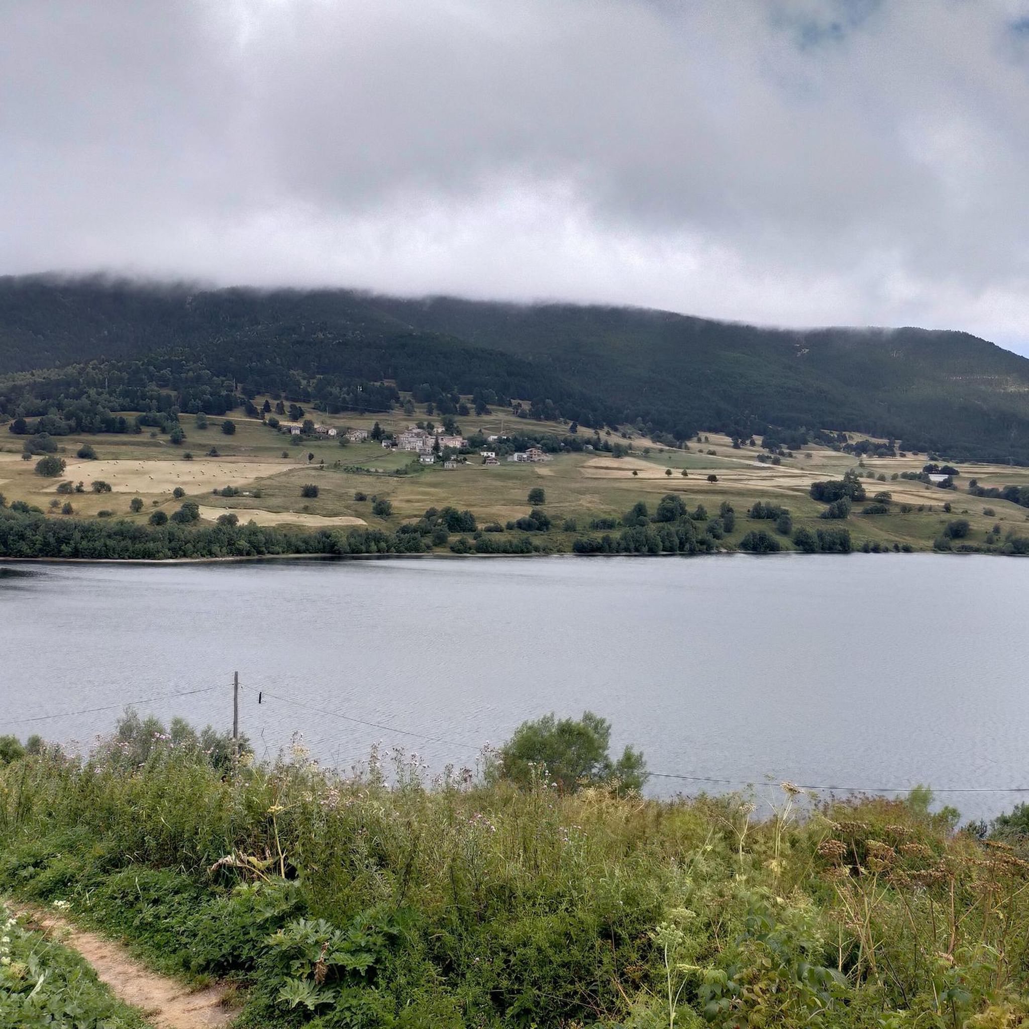
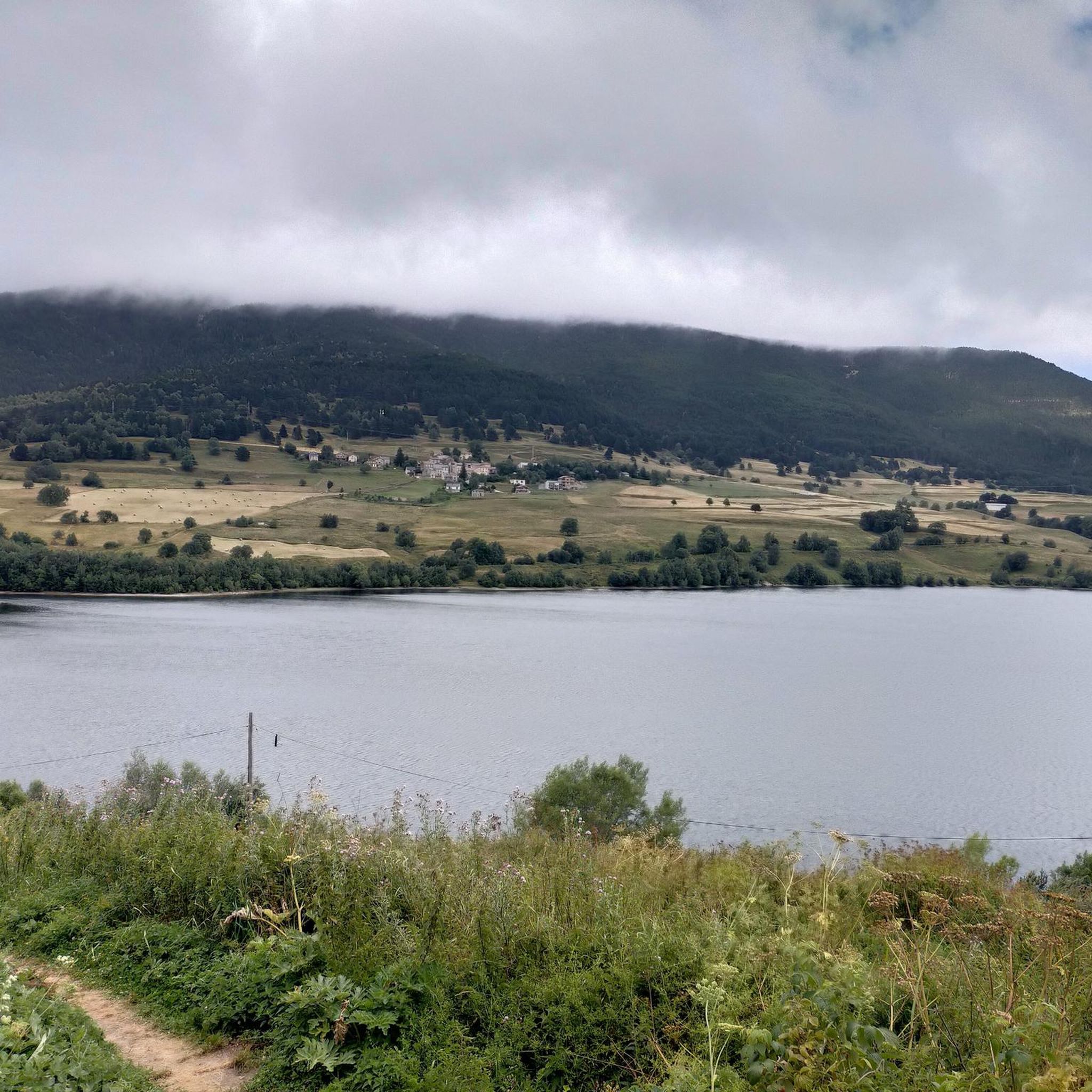
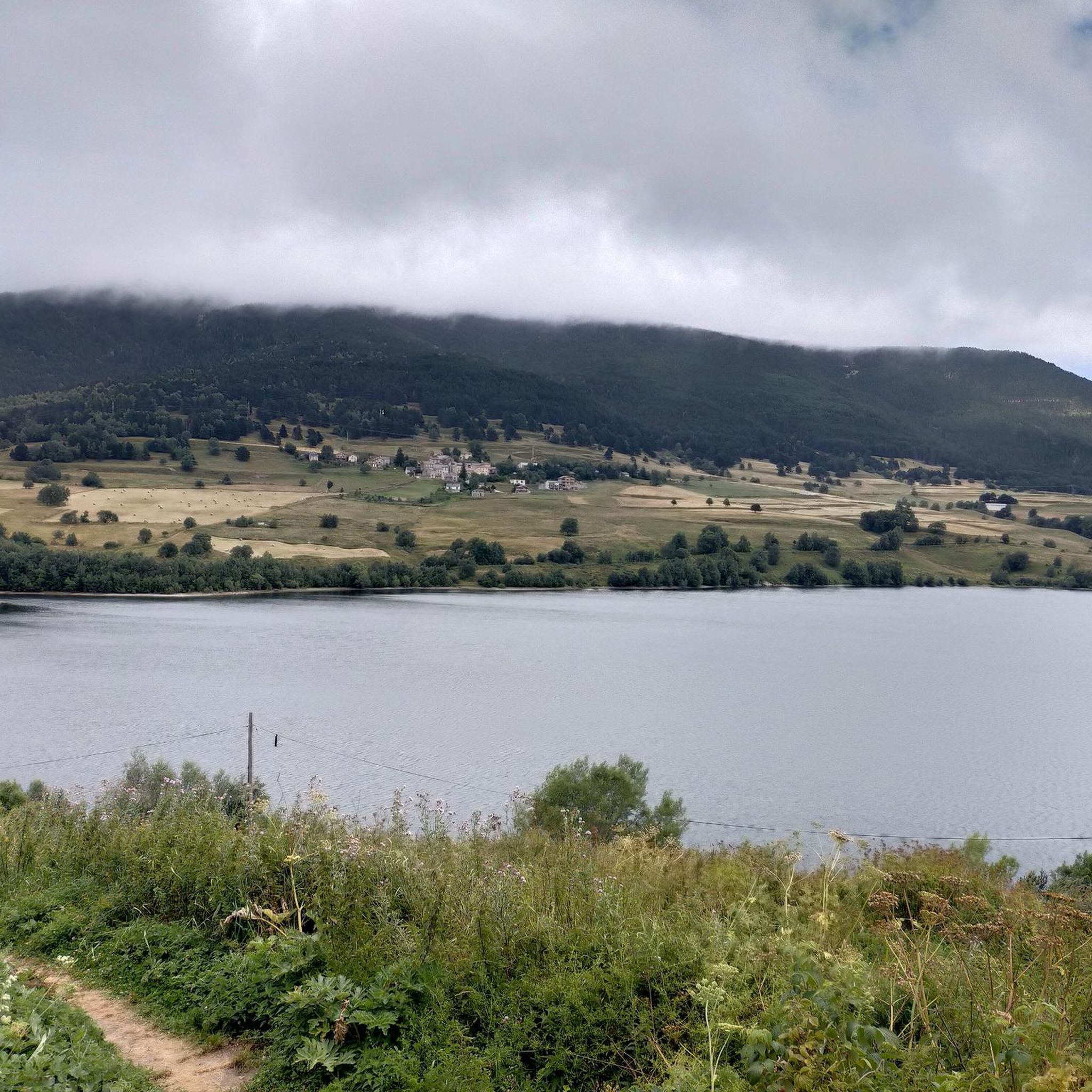
From Axat, it's a long climb, 18km. It's quite beautiful down in the gorges, then a few kilometers of fairly monotonous woods. Arriving on the plateau, it clears up but it's rural. The impressive view is worth it when you reach the pass. Going down there must be a blast, the tarmac is good, it's quite wide and there's little traffic. I went down via Escouloubre: the tarmac is bad, gravel, but the forest is enchanting! Why not go the other way, then, up via Escouloubre and down via Bousquet / Roquefort etc.?
1
0

It is a simply spectacular port that unites the regions of Conflent and Capcir. It is one of the most beautiful ports in the easternmost Pyrenees. It is very close to the Col de la Llosa, and you can take a circular route that is known as the "Route des Cols". It is also indicated on nearby road signs. The hardest slope is the one that begins in Olette (Conflent) and goes up through Aiguatèbia. There are almost 22 km of ascent and 1,089 meters of elevation gain. It has 3 very different zones: (1) the first is a constant 5 km at 7%; (2) the second is 10 km at 4% and with some very pleasant rest areas, with beautiful views; (3) The final part is 6 km on average at 7%, since it passes the town of Railleu, although the hard part is the last 3 km, with several ramps that exceed 10%. The road is narrow and has uneven asphalt, with hardly any cars and motorcycles. For me, the final part of this port is truly spectacular and should not be missed. The west slope begins in the town of Matamala (Capcir) and is 3 km with an average of close to 8%. It is a long irregular stretch along a narrow and very quiet road, with panoramic views of the valley when the thick black pine forest gives some opportunity.
0
0

A little disappointing: the pass is in the middle of the forest and offers no view. The climb from (and to!) Railleu is nevertheless superb. A nice picnic area to have a bite to eat.
1
0

One of the best experiences on my entire tour. I have this picture with the view of the mountains as my screen background. The roads are still closed, the snow is piled up meters high on the sides and at the same time there is not a single car on the road. Simply fantastic
1
0

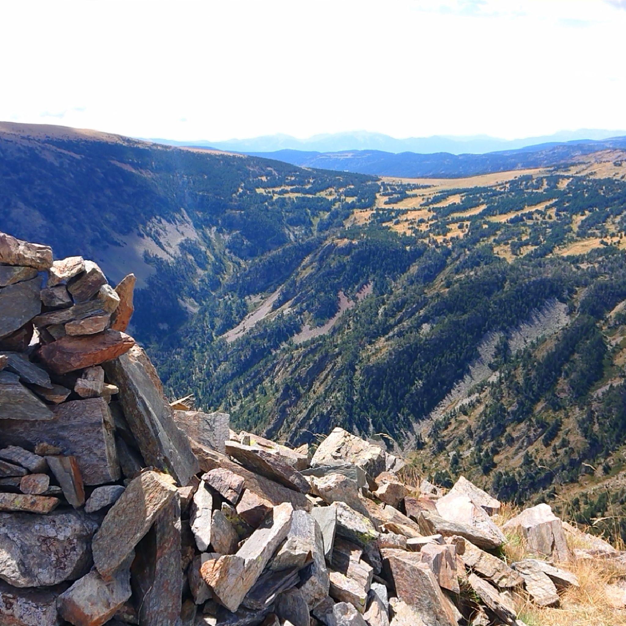
Here you can barely reach the 2000m altitude. The area is wonderful
0
0
I have visited the Col de Pailhères on several occasions and in all seasons of the year. In summer it is very common to find cows, horses and sheep at the top. It is an enigmatic and wonderful port. It is very hard on both sides since it has many kilometers with a slope greater than 10%. It is one of my Top-10 in the Pyrenees. I leave you the link with its altimetry prepared by @cyclingcols --> http://www.cyclingcols.com/col/Pailheres
0
0

The Col de Pailhères, or Port de Pailhères, is one of the emblematic passes of the Pyrenees and the Tour de France. Culminating at 2,001 meters above sea level, it is one of the few passes in the Pyrenees to exceed the symbolic bar of 2,000 meters. The climb from Mijanès is 10.6 kilometers long with an average of 8.2%, including some passages at more than 10%. It is also possible to climb from Ax-les-Thermes by means of a climb of 18.6 kilometers with an average of 6.9%.
4
0

Great not so easy pass!
0
0
Frequently Asked Questions
What are the most challenging mountain passes around Puyvalador?
For a significant challenge, consider the Pailhères Pass, which culminates at 2,001 meters above sea level. It features sections with gradients over 10% and is known as one of the emblematic passes of the Pyrenees, often included in the Tour de France. The climb from Mijanès is 10.6 kilometers long with an average of 8.2%.
Are there mountain passes with impressive views in the Puyvalador region?
Yes, several passes offer stunning vistas. The Pailhères Pass provides breathtaking views, especially the narrow serpentines on the eastern approach. Similarly, the Col du Garavel (1256 m) rewards climbers with impressive views upon reaching the pass after an 18 km ascent from Axat.
What kind of natural features can I expect to see around the mountain passes?
The region is characterized by its unspoiled natural setting, including extensive pine forests and peaks ranging from 1,351 to 2,363 meters. Passes like Col de Jau traverse meadows and sparse forests, offering beautiful natural scenery. At higher elevations, such as Pailhères Pass, it's common to see cows, horses, and sheep grazing freely.
Are there historical sites or points of interest near the mountain passes?
While specific historical sites directly on the passes are not detailed, the region itself has historical significance. The Col d'Arès, though not featured in this guide, is historically noteworthy for having a defensive castle built in 1195 to protect it, indicating its strategic importance as a route through the mountains in the 12th century.
What outdoor activities can I do near these mountain passes?
The mountainous terrain around Puyvalador is excellent for various outdoor activities. You can find numerous running trails, such as the 'Pastoral Zone loop from Puyvalador' (15.9 km, difficult), or explore cycling routes like the 'Col de Pailhères summit – Climb Col de Pailhères loop from Puyvalador' (53 km, difficult). For more options, explore the Running Trails around Puyvalador or Cycling around Puyvalador guides.
Are there family-friendly mountain passes or trails suitable for families?
While many passes in the region present challenging climbs, the broader Puyvalador area, being part of the Regional Natural Park of the Catalan Pyrenees, offers a variety of trails. For specific family-friendly options, it's best to check individual route descriptions for difficulty and length, as some sections of passes might be more accessible than others. For example, the Col de la Creu has a pleasant picnic area, which could be a good stop for families.
What is the best time of year to visit the mountain passes around Puyvalador?
The region is ideal for nature lovers, hiking, and skiing. For hiking and cycling over the mountain passes, the warmer months, typically from late spring to early autumn, offer the most favorable conditions. During winter, higher passes like Pailhères Pass can experience snow and challenging conditions, making them more suitable for winter sports or requiring specialized gear.
Where can I find parking at the mountain pass trailheads?
Parking availability varies by pass. For instance, at the bottom of the climb to Pailhères Pass from Mijanès, there is a small parking lot near a chalet, which is a convenient starting point for many. For other passes, it's advisable to check specific route details or local information for designated parking areas.
What is the 'Route des Cols' mentioned for Col de la Creu?
The 'Route des Cols' is a known circular route that can be taken near the Col de la Creu. It's often indicated on nearby road signs and connects with other passes like the Col de la Llosa, offering a scenic journey through the easternmost Pyrenees.
Are there any intermediate mountain passes suitable for less experienced cyclists or hikers?
Yes, the region offers intermediate options. Col de la Creu is an intermediate mountain pass connecting the Conflent and Capcir regions, with a climb of more than 22 km from Olette at an average gradient of 4.2%. Col de Jau also presents an intermediate challenge, with a climb from Prades that is mostly gentle before rising to over 10% in the last third.
What do visitors appreciate most about the mountain passes around Puyvalador?
Visitors frequently praise the challenging climbs, the scenic viewpoints, and the unspoiled natural beauty of the area. The sense of accomplishment after conquering passes like Pailhères Pass, combined with the stunning high-mountain landscapes and the quiet, secluded nature of routes like Col du Garavel (1256 m), are often highlighted as key attractions.
Can I find cafes or places to rest near the mountain passes?
While the passes themselves are often remote, some, like Col de la Creu, offer pleasant picnic areas. For cafes and more substantial rest stops, you would typically find them in the nearby villages or towns at the base of the climbs, such as Olette or Axat, which serve as starting points for many routes.
Most popular routes around Puyvalador
Most popular attractions around Puyvalador

Get inspired with the komoot mobile app


Explore more
See even more epic mountain passes by checking out these guides around Puyvalador:
