The best cycling routes around Puyvalador
4.4
(103)
4,856
riders
111
rides
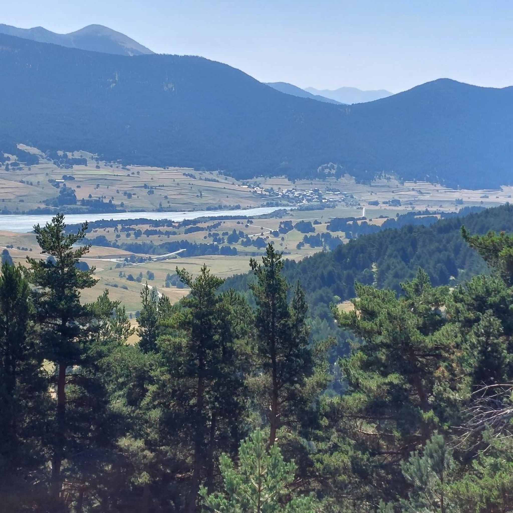
Touring cycling around Puyvalador offers diverse landscapes within the Pyrénées-Orientales department of France. The region is situated on the Capcir plateau, providing varied terrain from calm, gently sloping paths to challenging mountain ascents. Key features include the Lac de Puyvalador, an artificial lake with a promenade, and the surrounding Pyrenean foothills and mountains. Cyclists can find routes winding through valleys, forests, and passes.
Best touring cycling routes around Puyvalador
- The most popular touring cycling route is Col de Pailhères summit – Climb Col de Pailhères loop from Puyvalador, a 33.0 miles (53.0 km) trail that takes 4 hours 14 minutes to complete. This difficult route features a significant elevation gain as it ascends the Col de Pailhères.
- Another top favourite among local touring cyclists is Pailhères Pass – Col de Jau loop from Prat Balhat, a difficult 93.7 miles (150.8 km) path. This extensive route traverses multiple Pyrenean passes, offering a long and demanding cycling experience.
- Local touring cyclists also love the Cycle path along the D118 – Fontrabiouse Fountain loop from Puyvalador, a 15.2 miles (24.4 km) trail leading through the Capcir plateau, often completed in about 2 hours 21 minutes.
- Touring cycling around Puyvalador is defined by the Capcir Plateau, the serene Lac de Puyvalador, and the Pyrenean foothills. The network of routes offers options for various ability levels, from tranquil paths to demanding mountain climbs.
- The routes in Puyvalador are highly rated by the komoot community with an average score of 4.4 stars from over 100 reviews. More than 3,800 touring cyclists have used komoot to explore Puyvalador's varied terrain.
Last updated: July 4, 2026
50
riders
151km
11:58
4,370m
4,370m
Hard bike ride. Very good fitness required. Mostly paved surfaces. Suitable for all skill levels.
5.0
(1)
22
riders
24.4km
02:21
580m
580m
Hard bike ride. Very good fitness required. Mostly paved surfaces. Suitable for all skill levels.

Sign up for free
19
riders
47.5km
03:43
700m
700m
Hard bike ride. Very good fitness required. Mostly paved surfaces. Suitable for all skill levels.
13
riders
21.1km
01:22
270m
270m
Moderate bike ride. Good fitness required. Mostly paved surfaces. Suitable for all skill levels.
7
riders
17.2km
01:41
350m
350m
Moderate bike ride. Good fitness required. Mostly paved surfaces. Suitable for all skill levels.
Get access to more routes and recommendations from other explorers.
Sign up for free
Already have an account?
Our route recommendations are based on thousands of hikes, rides, and runs completed by other people on komoot.
Start today with a free account
Your next adventure awaits.
Login or Signup


Tips from the Community

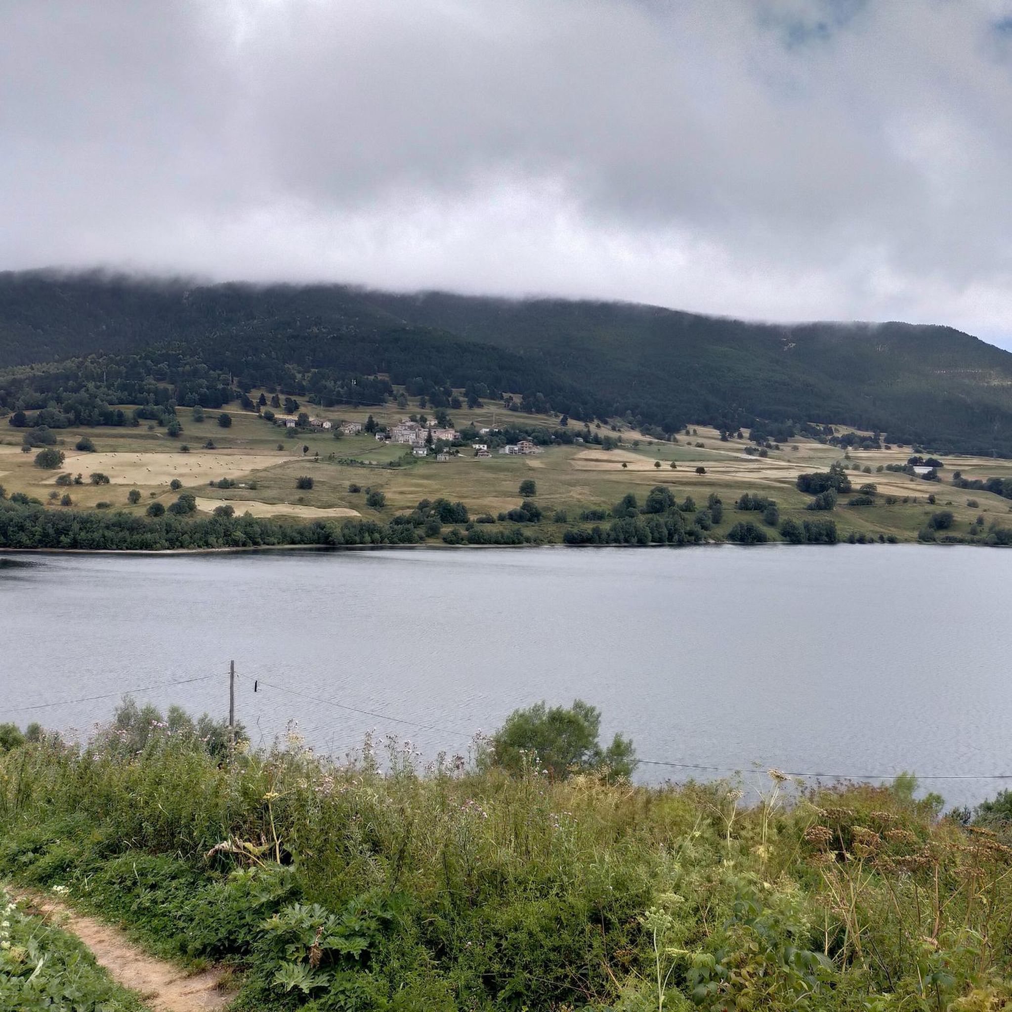
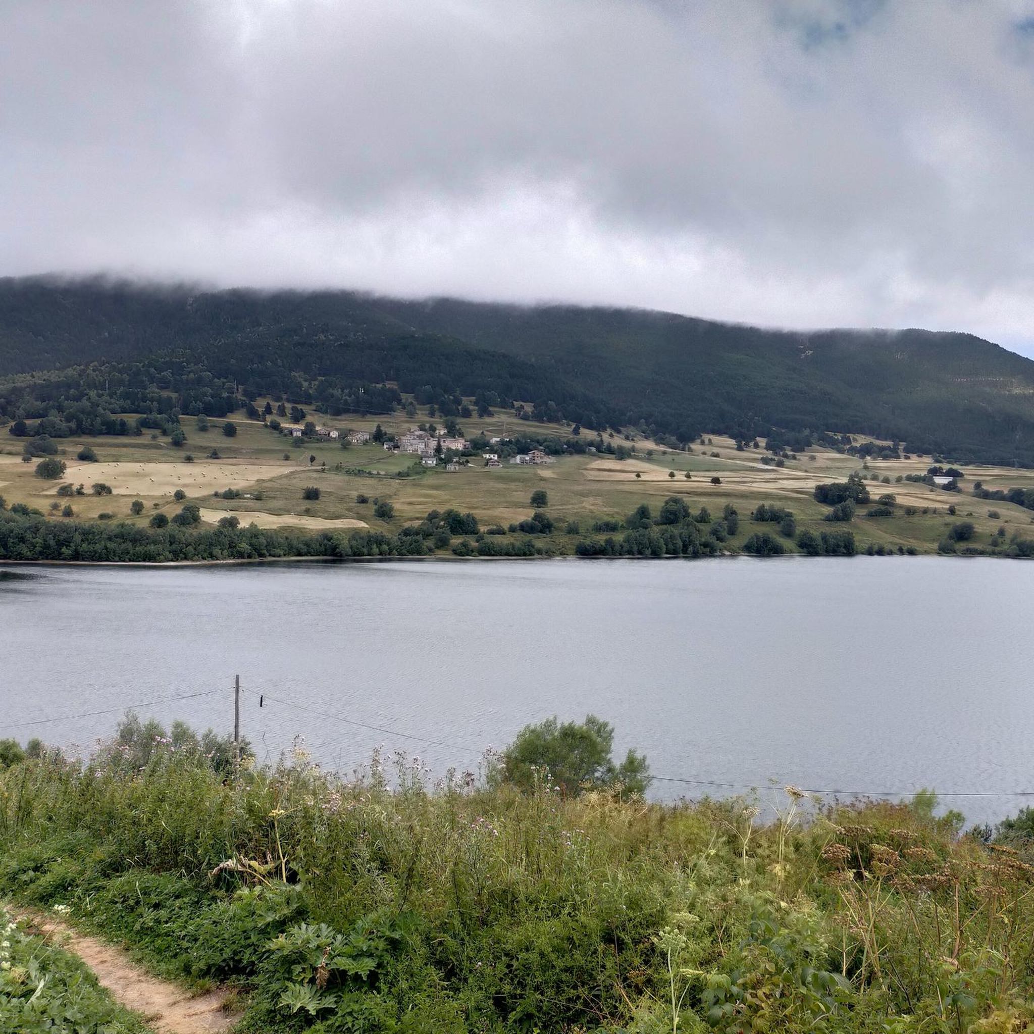
The Matemale lake is located in the middle of the Capcir plateau. The color of its waters captures the attention and creates a desire: to get closer and perhaps take a dip. The lake is developed, and a equipped leisure base opens onto its shores. An ideal stopover.
0
0


Lake Matemale with its beautiful beaches is located at an altitude of 1500 metres and therefore the water is between 19 and 23°.
1
1


Welcome water point on the Soulan, sufficient flow, with quick access to the village center.
0
0

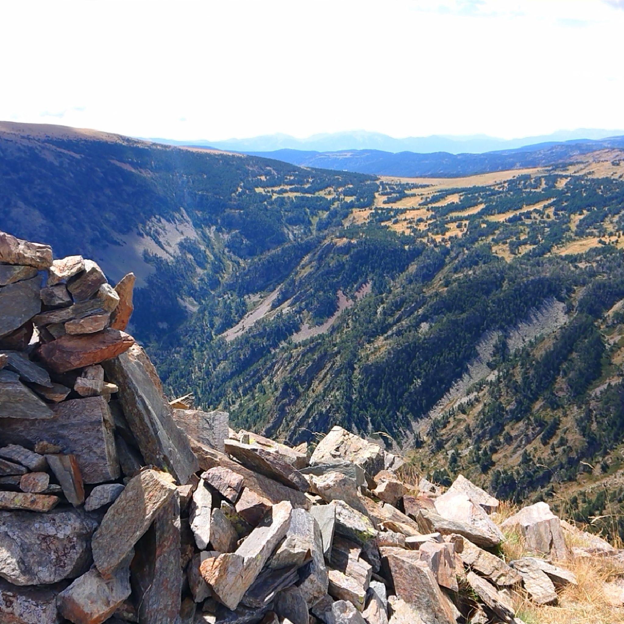
One of the best experiences on my entire tour. I have this picture with the view of the mountains as my screen background. The roads are still closed, the snow is piled up meters high on the sides and at the same time there is not a single car on the road. Simply fantastic
1
0
Small road, little traffic. Just enjoy the nature and keep going. Remember to bring enough food and water. The climb is long but it's worth it!
0
0
Frequently Asked Questions
How many touring cycling routes are available around Puyvalador?
There are over 110 touring cycling routes around Puyvalador, catering to various skill levels. You'll find options ranging from easier loops to challenging mountain ascents across the Capcir plateau and surrounding Pyrenean foothills.
What kind of terrain can I expect on touring cycling routes in Puyvalador?
The terrain around Puyvalador is quite varied. You can expect routes that traverse vast pine forests, wide meadows, and the tranquil shores of Lac de Puyvalador. The region also features significant elevation changes, especially on routes ascending Pyrenean passes like the Pailhères Pass, offering both gentle slopes and demanding climbs.
Are there any family-friendly touring cycling routes in Puyvalador?
Yes, there are several easier routes suitable for families. The area around Lac de Puyvalador offers tranquil paths, and local trails like the 'Puyvalador Dam loop' are generally easy rides. While specific family-designated routes aren't detailed, the region's network includes options with less elevation gain, perfect for a relaxed family outing.
What are some notable landmarks or natural features to see along the cycling routes?
Many routes offer stunning views of the Capcir peaks and pass by the serene Lac de Puyvalador. You might also encounter significant mountain passes such as Pailhères Pass, Col de la Creu, and Col de Jau. The region is also known for its expansive pine forests and the distinct natural charm of the Capcir plateau.
Are there any circular touring cycling routes around Puyvalador?
Yes, many of the touring cycling routes in the area are designed as loops. For example, the Mijanès – Pailhères Pass loop from Puyvalador and the Cycle path along the D118 – Fontrabiouse Fountain loop from Puyvalador are popular circular options that allow you to start and finish in the same location.
What is the best time of year for touring cycling in Puyvalador?
The Pyrénées-Orientales department, where Puyvalador is located, experiences a cold, dry microclimate typical of the Capcir plateau. While specific seasonal recommendations aren't provided, the warmer months from late spring to early autumn generally offer the most favorable weather conditions for cycling in mountainous regions, avoiding snow and ice on higher passes.
Is it possible to access the touring cycling routes using public transport?
While Puyvalador is a smaller resort, the broader Pyrénées-Orientales region has some public transport options. However, direct public transport access to specific trailheads with bicycle carriage facilities might be limited. It's advisable to check local bus services or regional trains for their bicycle policies and routes to the Puyvalador area, as this information can vary.
Are there any permits required for cycling on the trails around Puyvalador?
Generally, no specific permits are required for touring cycling on public roads and designated cycling paths in the Puyvalador area. However, if you plan to venture into private lands or specific protected natural reserves, it's always best to check local regulations. For most touring routes, you can cycle freely.
What do other touring cyclists enjoy most about cycling in Puyvalador?
The touring cycling routes in Puyvalador are highly rated by the komoot community, with an average score of 4.4 stars. Reviewers often praise the diverse landscapes, from serene lake shores to challenging mountain passes, and the preserved natural environment of the Capcir plateau.
Are there any easier touring cycling routes for beginners or those looking for a relaxed ride?
Yes, there are 25 easy touring cycling routes available around Puyvalador. These routes typically feature less elevation gain and are ideal for beginners or those seeking a more relaxed pace. The trails around Lac de Puyvalador are known for their tranquil nature and varied terrain through forests and meadows.
Where can I find parking for the touring cycling routes in Puyvalador?
Parking is generally available in and around Puyvalador village and near popular starting points for routes, especially around Lac de Puyvalador. Specific parking details for each trailhead are often provided within individual route descriptions on komoot, allowing you to plan your start point conveniently.
Can I find food and accommodation options near the cycling routes?
Puyvalador, while a smaller resort, offers some local amenities. You can find cafes, restaurants, and accommodation options within Puyvalador village and in nearby charming villages like Olette, Mosset, and Villefranche de Conflent. For specific recommendations, checking local listings for hotels, restaurants, and cafes in the immediate vicinity of your chosen route is advised.
Are there any advanced or challenging touring cycling routes in the area?
Absolutely. For experienced touring cyclists, there are 52 difficult routes around Puyvalador. These include extensive routes traversing multiple Pyrenean passes, such as the Pailhères Pass – Col de Jau loop from Prat Balhat, which offers a long and demanding cycling experience with significant elevation changes.
Most popular routes around Puyvalador
Most popular attractions around Puyvalador

Get inspired with the komoot mobile app


Explore more
Browse the best Cycling routes in other regions.
