Top 20 Mountain Passes around Fontpédrouse
Mountain passes around Fontpédrouse are located in the Pyrénées-Orientales department of France, offering access to diverse mountain landscapes. This region features a range of passes, from historical routes to challenging climbs, connecting various valleys. The area is characterized by alpine terrain and serves as a gateway for exploring the natural beauty of the Catalan Pyrenees. These passes provide opportunities for both scenic drives and remote hiking adventures.
Best mountain passes around Fontpédrouse
- The most popular mountain passes is Collada de…
Last updated: October 13, 2026
Col du Calvaire (Font-Romeu)
Highlight • Mountain Pass
Translated by Google •
Tip by

Col de la Perche (1,579 m)
Highlight • Mountain Pass
More information: quaeldich.de/paesse/col-de-la-perche
Translated by Google •
Tip by

Sign up now to discover places like this
Get recommendations on the best single tracks, peaks, & plenty of other exciting outdoor places.
Col de la Creu
Highlight • Mountain Pass
Translated by Google •
Tip by

Col de la Llose
Highlight • Mountain Pass
Translated by Google •
Tip by

Collada de Fontalba (approx. 2000 m)
Highlight • Mountain Pass
Translated by Google •
Tip by

Sign up for free to discover even more mountain passes around Fontpédrouse.
Already have an account?
Start today with a free account
Your next adventure awaits.
Popular around Fontpédrouse

The Crossing of the Pyrenees via the GR 10 — Eastern Pyrenees

On wild ridges: Catalonia to Ariège – Hexatrek, Eastern Pyrenees
Road Cycling Routes around Fontpédrouse
Running Trails around Fontpédrouse
Hiking around Fontpédrouse
Cycling around Fontpédrouse
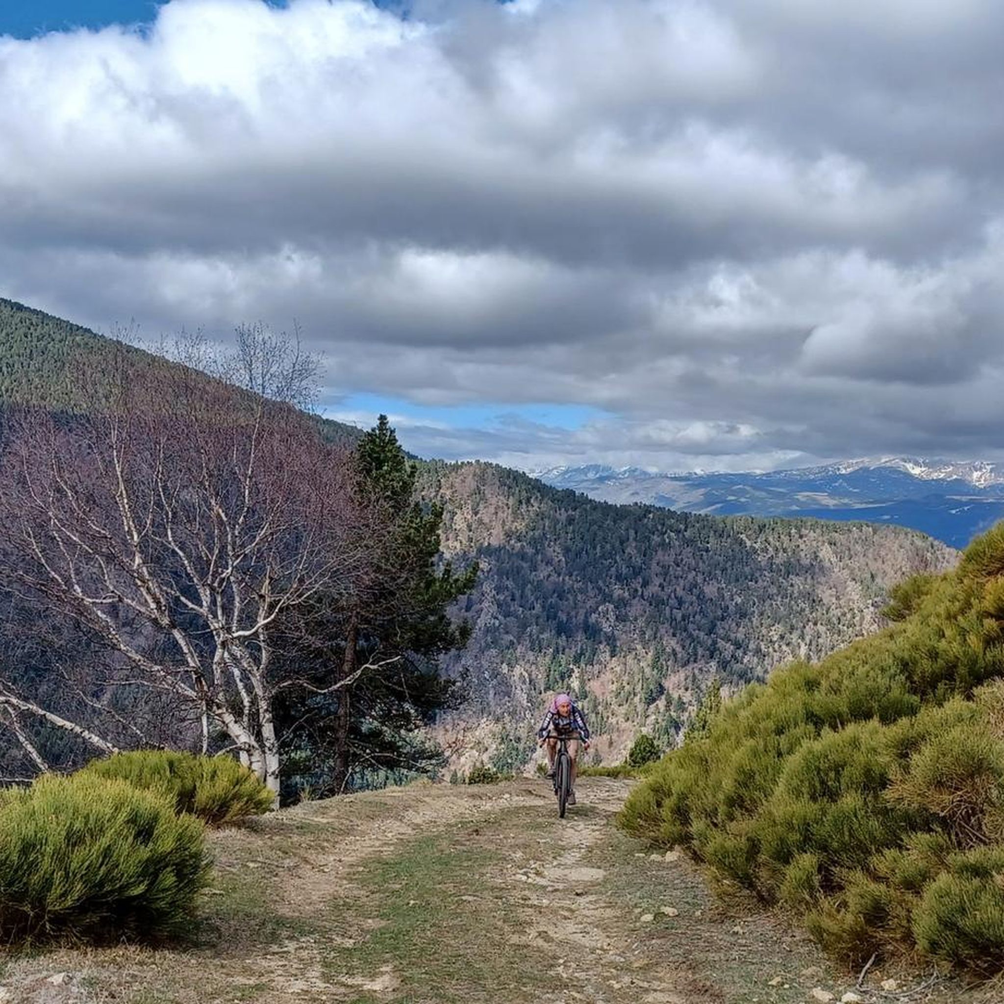
MTB Trails around Fontpédrouse
Gravel biking around Fontpédrouse

Mountain Hikes around Fontpédrouse

Tips from the Community

Well, starting from Font Romeu and breaking legs from Mont Louis
0
0

Access to the site is restricted in summer by vehicle, and a reserved spot is required for €5. Overnight parking is not permitted.
1
0

It is a simply spectacular port that unites the regions of Conflent and Capcir. It is one of the most beautiful ports in the easternmost Pyrenees. It is very close to the Col de la Llosa, and you can take a circular route that is known as the "Route des Cols". It is also indicated on nearby road signs. The hardest slope is the one that begins in Olette (Conflent) and goes up through Aiguatèbia. There are almost 22 km of ascent and 1,089 meters of elevation gain. It has 3 very different zones: (1) the first is a constant 5 km at 7%; (2) the second is 10 km at 4% and with some very pleasant rest areas, with beautiful views; (3) The final part is 6 km on average at 7%, since it passes the town of Railleu, although the hard part is the last 3 km, with several ramps that exceed 10%. The road is narrow and has uneven asphalt, with hardly any cars and motorcycles. For me, the final part of this port is truly spectacular and should not be missed. The west slope begins in the town of Matamala (Capcir) and is 3 km with an average of close to 8%. It is a long irregular stretch along a narrow and very quiet road, with panoramic views of the valley when the thick black pine forest gives some opportunity.
0
0

A little disappointing: the pass is in the middle of the forest and offers no view. The climb from (and to!) Railleu is nevertheless superb. A nice picnic area to have a bite to eat.
1
0

The parking area in Fontalba, with a fee during the summer, is the optimal starting point for those who wish to start conquering 3000 meter peaks, starting with Puigmal. This route is not only accessible and direct, but also provides stunning scenery, making it the ideal choice for aspiring mountaineers.
1
0
The Col de la Calvaire de Font Romeu is a mountain pass in French Cerdanya, next to the town and ski resort of Font Romeu. This port connects the Bolquère valley with the Cerdanya valley. The port is within the same town of Font Romeu, next to the station's ski lifts. There are many slopes to reach Col de la Calvaire: - the western slope that starts from Ur is approximately 16 km and crosses the town of Targasone and the Col d'Egat. It is a very steep climb along a road in perfect condition, although on holidays there is a lot of traffic. - The southern slope starts from Llívia and crosses Estavar and joins the previous one at the Col d'Egat. Unlike the first, the first section of the climb is very hard, with several horseshoe curves and with wonderful views of the entire Cerdanya and the Tosa d'Alp. - The eastern slope stops at Olette, and after approximately 28 km it reaches the top of the pass, passing through the town of Mont-Louis and Bolquère. It is a very steep climb, like the first, on a road in perfect condition but with a lot of traffic. I don't like going up here. - the eastern slope that starts from Olette and passes through the Col de la Perche, reaching the town of Font-Romeu and from there to the top. Of all the slopes, the one I like the most is the slope that starts from Llívia and crosses Estavar.
0
0

Culminating at 1,579 meters above sea level, the Col de la Perche can be climbed by four routes in total. Each of them includes relatively gentle slopes. At the top, the view of the surrounding area is splendid and rewards your efforts!
0
0

It's probably not the most spectacular pass in the Pyrenees, but it has its charms. Its position, in the middle of the Catalan Pyrenees natural park, makes it a privileged passage for admiring 360° of the mountains, valleys and plains of this protected area. If you pass by, take the time to look around for yourself and enjoy the view.
0
0
Frequently Asked Questions
What are the most popular mountain passes around Fontpédrouse?
Among the most appreciated passes by the komoot community are Collada de Fontalba (approx. 2000 m), known as a starting point for routes to Vall de Núria and Puigmal peak, and Col de la Creu, which unites the regions of Conflent and Capcir with challenging slopes and scenic views. Visitors also highly rate Col de la Llose for its steady climb and natural beauty.
Are there mountain passes suitable for scenic drives or easy access?
Yes, Col de la Perche (1,579 m) is highly accessible, situated at the intersection of the N116 and D33 roads. It's also part of the historic 'Route des Cols' and is served by the Cerdagne railway (Yellow Train), making it a popular route for both road users and those enjoying a scenic train journey. It offers splendid panoramic views with relatively gentle slopes.
Which mountain passes offer challenging climbs for cyclists?
For cyclists seeking a challenge, Col de Mantet is a notable option. Reaching an elevation of 1,758 meters, it features narrow, quiet roads and steep gradients, particularly after the village of Py. Its challenging statistics are comparable to more famous Pyrenean ascents, attracting dedicated cyclists looking for a demanding experience.
What unique natural features can I expect to see at these mountain passes?
The region boasts diverse natural features. At Portella Blanca d'Andorra, you'll find a majestic, treeless alpine landscape characterized by granite rock formations, hook pines, and Alpine rhododendron. This pass also offers splendid views of the valleys of Campcardós and Engaït, and nearby peaks like Pic Negre d'Envalira, alongside glacial features from the last ice age.
Are there any mountain passes with historical significance?
Yes, Col de la Perche (1,579 m) has a rich history, mentioned as early as 897 AD as 'port du Jardo' and believed to have been a passage point for Hannibal during the Second Punic War. Portella Blanca d'Andorra also holds historical value, having served as a passage for refugees during World War II.
What outdoor activities can I do near these mountain passes?
The area around Fontpédrouse offers a wide range of outdoor activities. You can find numerous hiking trails, including easy loops like 'Hiking loop from Fontpédrouse' or more challenging routes such as 'Els Collets d'Avall – Col Mitjà loop from Fontpédrouse'. For running enthusiasts, there are demanding trail runs like 'Bastiments y Pic de la Dona'. Gravel biking is also popular, with routes like 'Pla de Barrès - 1651 m – Col de la Perche (1,579 m) loop'. You can explore more options on the Hiking around Fontpédrouse, Running Trails around Fontpédrouse, and Gravel biking around Fontpédrouse guide pages.
Are there family-friendly options or easy walks around the mountain passes?
While many passes offer challenging terrain, some areas provide easier access and views. For instance, the routes to Col de la Perche (1,579 m) have relatively gentle slopes, making it accessible. For hiking, there are easy routes like the 'Hiking loop from Fontpédrouse' which is only 3 km long, suitable for a leisurely family walk.
What is the best time to visit the mountain passes around Fontpédrouse?
The mountain passes are generally accessible for outdoor activities from spring through autumn. While Col de Mantet is typically open year-round, temporary winter closures are possible due to snow. For high-alpine passes like Portella Blanca d'Andorra, summer and early autumn offer the best conditions for hiking, as the landscape is treeless and exposed.
Can I find parking or public transport options near the mountain passes?
Yes, parking is available at several passes. Collada de Fontalba (approx. 2000 m) is accessible via an 11-kilometer dirt track and offers a dusty parking lot, ideal for overnight van parking. Col de la Perche (1,579 m) is served by the N116 road and the Cerdagne railway (Yellow Train), providing public transport access.
What do visitors enjoy most about the mountain passes in this region?
Visitors frequently highlight the splendid panoramic views, especially from passes like Col de la Perche (1,579 m), which offers 360° vistas of the Catalan Pyrenees natural park. The tranquility of less-trafficked routes, the challenge of demanding climbs, and the unique alpine landscapes, such as those found at Portella Blanca d'Andorra, are also highly appreciated.
Are there any passes that connect different valleys or regions?
Absolutely. Col de la Perche (1,579 m) connects the Conflent valley (Têt river) with the Cerdagne valley (Segre river). Similarly, Col de la Creu serves as a link between the regions of Conflent and Capcir, offering routes that traverse diverse landscapes.
What is Portella Blanca d'Andorra and what makes it unique?
Portella Blanca d'Andorra, also known as Coll d'Engaït, is a majestic pass at an altitude between 2,514.9 and 2,521 meters. It's unique because it marks a tripoint between Andorra, Spain, and France. There are no roads directly to the summit, but it's traversed by major hiking trails (GR paths). Its exceptional treeless alpine landscape, granite formations, and historical significance as a tri-border point make it a remarkable destination for hikers.
Most popular routes around Fontpédrouse
Most popular attractions around Fontpédrouse

Get inspired with the komoot mobile app


Explore more
See even more epic mountain passes by checking out these guides around Fontpédrouse:
