The best walks and hikes around Fontpédrouse
4.6
(2558)
20,244
hikers
30
hikes
Hiking around Fontpédrouse offers diverse landscapes within the Pyrénées-Orientales region, characterized by significant mountainous terrain and deep valleys. The area features jagged peaks, high-altitude lakes, and dramatic gorges, providing varied terrain elevation for hikers. Trails often traverse woodlands and cross streams, with notable features like the Gorges de Carança and natural hot springs adding to the region's appeal.
Best hiking trails around Fontpédrouse
- The most popular hiking route is Knickpoint of the Têt – Planès loop from Fontpédrouse, a 6.8 miles (10.9 km) trail that takes 3 hours 42 minutes to complete. This moderate route features a notable elevation gain of over 550 meters.
- Another top favourite among local hikers is Els Collets d'Avall – Col Mitjà loop from Fontpédrouse, a difficult 10.1 miles (16.3 km) path. This challenging route includes over 1000 meters of ascent, offering expansive mountain views.
- Local hikers also love the Hiking loop from Fontpédrouse, a 1.9 miles (3.1 km) trail leading through varied local terrain, often completed in about 57 minutes.
- Hiking around Fontpédrouse is defined by jagged peaks, deep gorges, and natural hot springs. The network offers options for different ability levels, from easy walks to challenging multi-hour treks.
- The routes in Fontpédrouse are highly rated by the komoot community with an average score of 4.6 stars from over 2,200 reviews. More than 18,000 hikers have used komoot to explore Fontpédrouse's varied terrain.
Last updated: October 12, 2026
4.6
(28)
236
hikers
21.0km
07:22
1,180m
1,180m
Hard hike. Very good fitness required. Easily-accessible paths. Suitable for all skill levels.
4.5
(6)
77
hikers
11.0km
03:44
560m
560m
Moderate hike. Good fitness required. Easily-accessible paths. Suitable for all skill levels.

4.5
(4)
42
hikers
16.3km
06:02
1,050m
1,050m
Hard hike. Very good fitness required. Easily-accessible paths. Suitable for all skill levels.
38
hikers
3.09km
00:57
120m
120m
Easy hike. Great for any fitness level. Easily-accessible paths. Suitable for all skill levels.
5.0
(2)
31
hikers
Hard hike. Good fitness required. Sure-footedness, sturdy shoes and alpine experience required.
Get access to more routes and recommendations from other explorers.
Already have an account?
Our route recommendations are based on thousands of hikes, rides, and runs completed by other people on komoot.
Start today with a free account
Your next adventure awaits.
Popular around Fontpédrouse

The Crossing of the Pyrenees via the GR 10 — Eastern Pyrenees

On wild ridges: Catalonia to Ariège – Hexatrek, Eastern Pyrenees
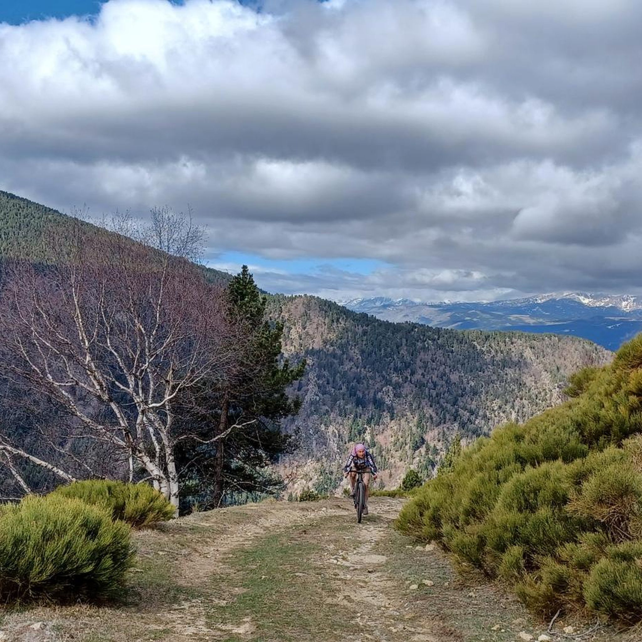
Road Cycling Routes around Fontpédrouse
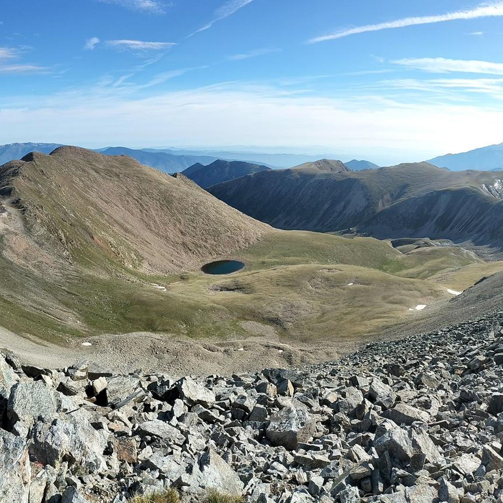
Running Trails around Fontpédrouse
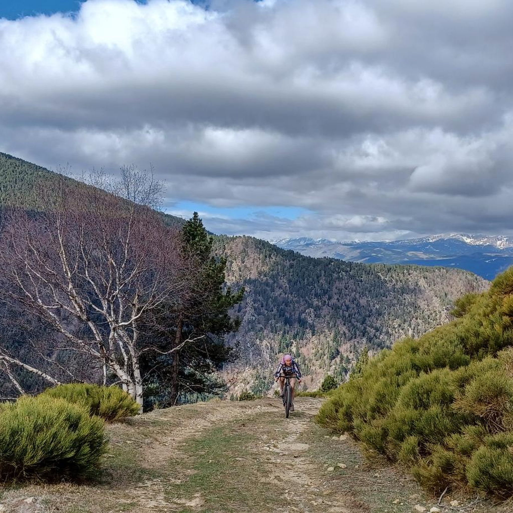
Cycling around Fontpédrouse
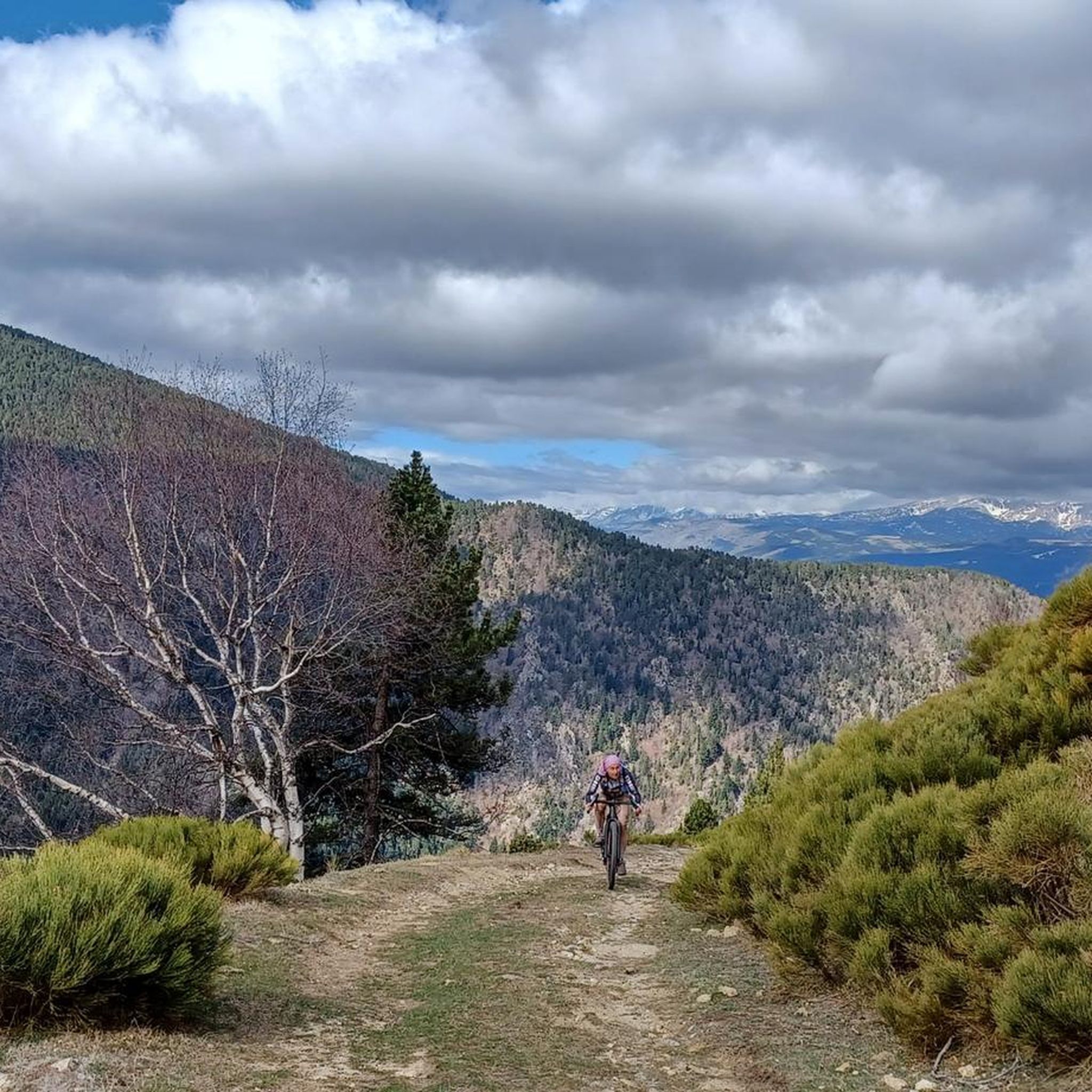
MTB Trails around Fontpédrouse
Gravel biking around Fontpédrouse

Mountain Hikes around Fontpédrouse

Tips from the Community

We were here in April 2026. The suspension bridges and walkways are in very poor condition. One bridge had a broken floor plate crudely repaired with 2 planks and tension straps. On another, one of the floor plates was loose because the screws had rusted through. In itself, a really nice tour, but we would have gladly spared ourselves this additional adventure due to a lack of maintenance.
0
0

Take your time and respect the two-person-at-a-time rule.
0
0
Please remain attentive despite the beauty of the landscape and the simplicity of the path.
0
0

MOST BEAUTIFUL part of the gorge walk, super beautiful.
21
1
Difficult hike, lack of markings in some places.
1
1

@daniel: There's no dam in the gorge, though. Was the project scrapped again?
3
0
Frequently Asked Questions
How many hiking trails are available around Fontpédrouse?
Fontpédrouse offers a diverse network of over 20 hiking routes. These trails cater to various skill levels, from leisurely walks to challenging multi-hour treks through the mountainous Pyrenean landscape.
What are the typical difficulty levels for hiking trails in Fontpédrouse?
The hiking trails in Fontpédrouse range from easy to difficult. You'll find 4 easy routes, 10 moderate routes, and 10 difficult routes, ensuring options for all fitness levels. Some challenging trails, like the Els Collets d'Avall – Col Mitjà loop from Fontpédrouse, involve significant elevation gains of over 1000 meters.
Are there any unique natural features or landmarks to discover while hiking in Fontpédrouse?
Yes, Fontpédrouse is rich in natural wonders. A major highlight is the Gorges de Carança, offering an adventurous experience with paths featuring ladders, suspension bridges, and footbridges. The region is also known for its natural hot springs, with some routes leading directly to these thermal features, such as the 'fontpédrouse sentier des canaux et sources chaudes naturelles'.
Are there any circular hiking routes in Fontpédrouse?
Many trails in Fontpédrouse are designed as loops, allowing you to start and end at the same point. For example, the Knickpoint of the Têt – Planès loop from Fontpédrouse is a popular moderate option, and the Hiking loop from Fontpédrouse offers an easier, shorter experience.
What kind of terrain can I expect on hikes around Fontpédrouse?
Hikers in Fontpédrouse can expect diverse terrain. The region is characterized by mountainous landscapes with jagged peaks, deep valleys, and significant elevation changes. Trails often traverse woodlands, cross streams, and offer panoramic views. Some paths, particularly in the Gorges de Carança, include more adventurous sections with ladders and bridges.
What do other hikers enjoy most about hiking in Fontpédrouse?
The hiking experience in Fontpédrouse is highly rated by the komoot community, with an average score of 4.6 stars from over 2,200 reviews. Hikers frequently praise the diverse landscapes, from dramatic gorges to serene woodlands, and the invigorating challenge of the Pyrenean peaks. The presence of natural hot springs and spectacular viewpoints also adds to the appeal.
Are there any lakes or mountain peaks accessible via hiking trails near Fontpédrouse?
Absolutely. The Fontpédrouse area is surrounded by stunning natural attractions. You can hike towards various mountain peaks, including Puigmal d'Er Summit or Bastiments Peak (2,881 m). There are also beautiful lakes to discover, such as Lake Matemale and Estany de l'Estanyol, offering picturesque destinations for your hikes.
What is the best season for hiking in Fontpédrouse?
While the Pyrenees offer year-round beauty, the best time for hiking in Fontpédrouse is typically from late spring to early autumn (May to October). During these months, the weather is generally milder, and trails are more accessible. Winter hiking is possible but requires appropriate gear and experience due to snow and potentially challenging conditions at higher altitudes.
Are there any long-distance or multi-day hiking options from Fontpédrouse?
While many routes are suitable for day hikes, the mountainous terrain around Fontpédrouse also connects to longer trails. For instance, the Ras de la Carança Refuge – Mountain lake loop from Refuge du Ras de La Carança can be part of a longer exploration, potentially involving overnight stays at mountain refuges. The region's extensive network allows for combining routes for multi-day adventures.
Can I find trails that lead to viewpoints with panoramic mountain views?
Yes, many trails in Fontpédrouse offer spectacular panoramic mountain views. Given its location within the Pyrenees, routes often feature significant elevation changes that reward hikers with expansive vistas of jagged peaks and deep valleys. The Els Collets d'Avall – Col Mitjà loop from Fontpédrouse, for example, is known for its impressive mountain scenery.
Are there any trails that connect to nearby villages or attractions like hot baths?
Yes, some routes provide connections to neighboring areas and attractions. For example, there's a recognized route that links Fontpédrouse to the village of Sauto and the natural hot baths of St-Thomas-les-Bains. These trails offer a mix of ascents, forest paths, and open hillside descents, combining hiking with cultural or relaxing experiences.
Is Fontpédrouse suitable for experienced hikers looking for a challenge?
Absolutely. Fontpédrouse is an excellent destination for experienced hikers seeking a challenge. The area features 10 difficult routes, some with over 1000 meters of ascent, requiring very good fitness and sure-footedness. Trails like the Col Mitjà – Ras de la Carança Refuge loop from Réservoir d'Aumet offer significant elevation gains and long distances, providing a true test of endurance and alpine experience.
Most popular routes around Fontpédrouse
Most popular attractions around Fontpédrouse

Get inspired with the komoot mobile app


Explore more
Browse the best Hikes in other regions.
