The best road cycling routes around La Salle
4.4
(88)
3,009
riders
283
rides
Road cycling routes around La Salle traverse a varied landscape characterized by rolling terrain and gentle ascents, with some routes featuring more significant climbs. The region includes routes that pass through agricultural areas, alongside rivers, and near historical landmarks. Cyclists can expect a mix of open roads and sections that may include tunnels or passes, offering diverse experiences. The elevation changes range from minimal to over 900 meters, catering to different fitness levels.
Best road cycling routes around La Salle
…Last updated: July 4, 2026
5.0
(3)
50
riders
Moderate road ride. Great for any fitness level. Some segments of this route may be unpaved and difficult to ride.
14
riders
76.2km
03:14
390m
390m
Moderate road ride. Good fitness required. Mostly well-paved surfaces and easy to ride.

Sign up for free
13
riders
93.8km
04:30
1,270m
1,270m
Hard road ride. Very good fitness required. Mostly well-paved surfaces and easy to ride.
3.0
(1)
8
riders
60.0km
02:59
810m
810m
Moderate road ride. Good fitness required. Some segments of this route may be unpaved and difficult to ride.
4.5
(4)
11
riders
78.7km
03:43
870m
870m
Moderate road ride. Good fitness required. Mostly well-paved surfaces and easy to ride.
Get access to more routes and recommendations from other explorers.
Sign up for free
Already have an account?
Our route recommendations are based on thousands of hikes, rides, and runs completed by other people on komoot.
Start today with a free account
Your next adventure awaits.
Login or Signup


Tips from the Community

The Tour des Fromages is a preserved defensive tower from the 11th century, which originally belonged to the ramparts of the powerful Abbey of Cluny. In the Middle Ages, the structure was still called Tour des Fèves (Bean Tower), as supplies were stored there. It got its current, curious name in the 19th century because a merchant used the tower to dry her homemade cheeses. Today, the tower is a popular attraction. Visitors can climb the 120 steps to the top. From up there, you have a beautiful 360-degree panoramic view over the entire medieval monastic city and the surrounding Burgundy landscape. Access to the tower is directly through the local Cluny tourist office.
1
0
An old church ruin with Gothic elements on a farmstead that also appears largely abandoned.
1
0
Magnificent view, which is worth the climb. Unfortunately, the refreshment stop was closed.
1
0
The abbey was founded in 910 by Duke William I of Aquitaine. In the Middle Ages, Cluny was the starting point of a huge monastic reform (the "Cluniac Reforms"). At its peak in the 11th and 12th centuries, around 1,500 monasteries and over 20,000 monks throughout Europe were under its jurisdiction. The main church of the abbey (Cluny III or Major Ecclesia), over 187 meters long, was the largest house of worship in Christendom until St. Peter's Basilica in Rome was built. During the French Revolution, the monastery was closed. Under Napoleon's rule, the gigantic church was almost completely demolished and used as a quarry. Today, only about 8% of the original vast complex remains.
2
0
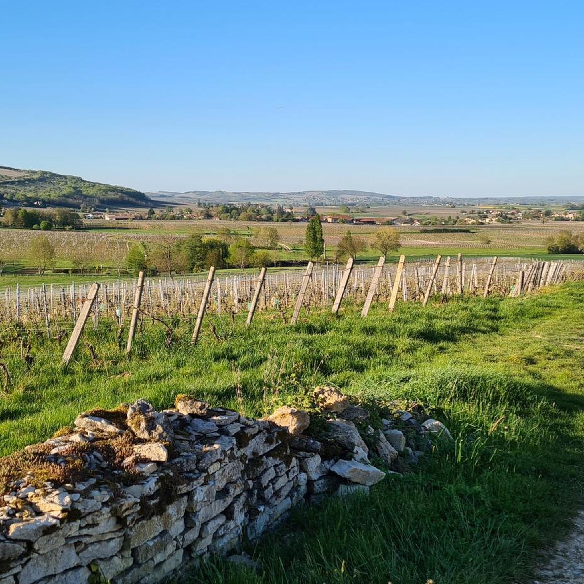
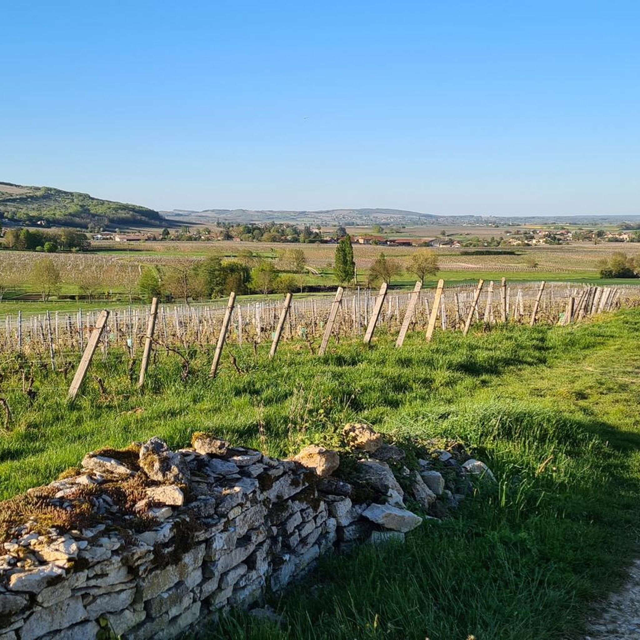
The tour leads through a picturesque, typically Burgundian landscape of rolling fields, dense forests, and vineyards. It connects the small, historic communities of Bray, Cortambert, and Blanot. In the listed historic village of Blanot, you will find, among other things, the famous Grottes de Blanot (a cave that reaches over 80 meters deep into the earth) as well as a historic Romanesque church. www.burgund-touri... +1
1
0
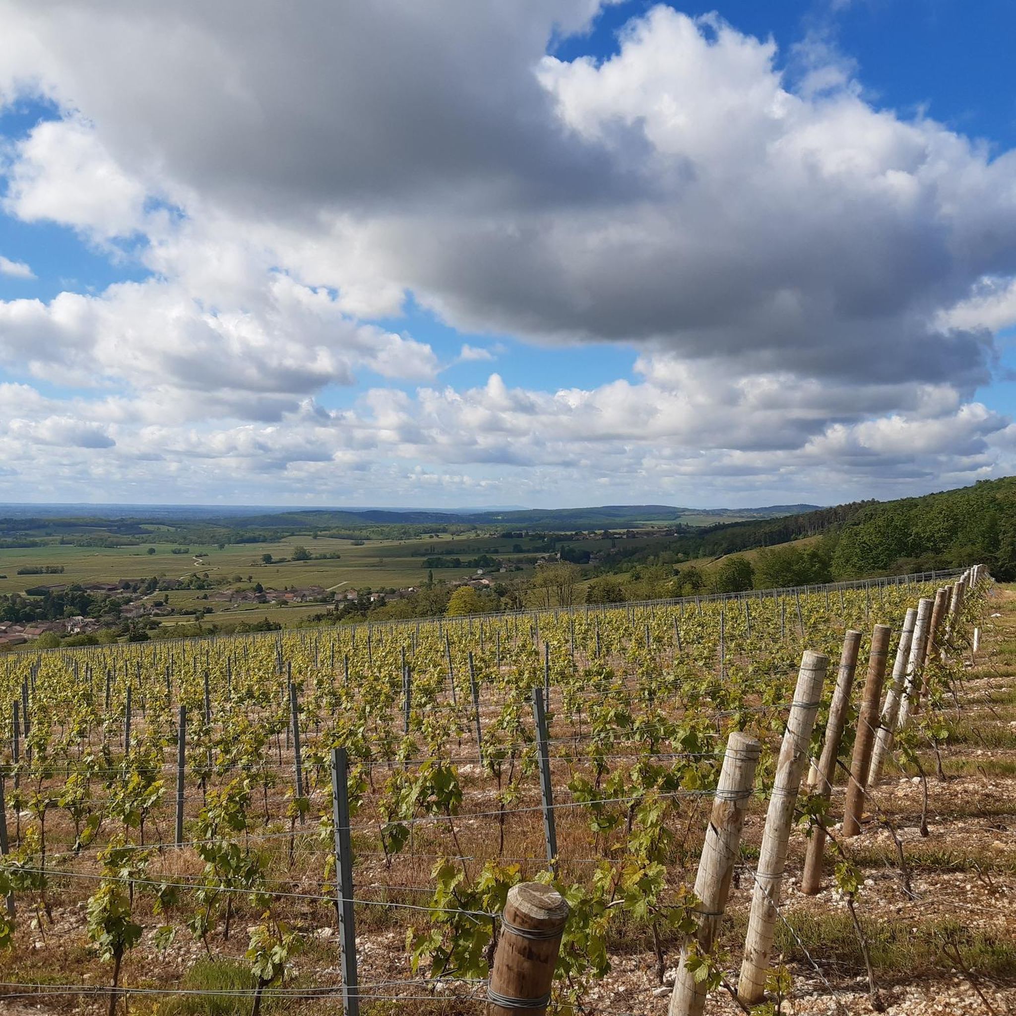
Mont Saint-Romain is a 579-meter-high mountain in the Mâconnais mountains above the picturesque valley of Blanot. From the summit, you have a comprehensive 360-degree view. To the west, you look out over the hills of Clunisois, and to the east, over the Saône valley. In very clear weather, the view extends to the Alps and Mont Blanc. On the roof of the local Auberge, there is a distinctive, historic orientation table, which was erected in 1948 by the Touring-Club de France. Directly at the viewpoint, a small Auberge (mountain inn) with an outdoor terrace invites you to stop for a break.
1
0
An idyllic, paved cycle path directly on the riverbank. It is a section of the well-known French long-distance cycle route „La Voie Bleue - Moselle-Saône Radweg" (Route V50) along the Saône. The entire long-distance cycle route covers around 700 kilometers from the Luxembourg border town of Apach (near the tripoint) to Lyon. The Saône section follows the natural meanders of the Saône, passing meadows, historic villages, and well-known wine-growing regions such as Mâcon. The route is mostly flat on former towpaths.
0
0
An idyllic, asphalted cycle path right on the riverbank. This is a section of the well-known French long-distance cycle route "La Voie Bleue - Moselle-Saône Radweg" (Route V50) along the Saône. The entire long-distance cycle route runs for around 700 kilometers from the French border town of Apach (near the tripoint) to Lyon. The Saône section follows the natural meanders of the Saône, passing meadows, historic villages, and well-known wine-growing regions such as Mâcon. The route runs mostly flat on former towpaths.
0
0
Frequently Asked Questions
How many road cycling routes are available around La Salle?
There are over 260 road cycling routes around La Salle, offering a wide range of options for different skill levels. You'll find everything from easy loops to challenging climbs.
What kind of terrain can I expect on road cycling routes in La Salle?
Road cycling routes around La Salle feature a varied landscape, including rolling terrain, gentle ascents, and some routes with more significant climbs. You'll pass through agricultural areas, alongside rivers, and near historical landmarks, with elevation changes ranging from minimal to over 900 meters.
Are there any easy road cycling routes suitable for beginners or leisurely rides?
Yes, La Salle offers over 40 easy road cycling routes. One popular moderate option with gentle elevation changes is the Between Tournus and Mâcon – Between Mãcon and Fleurville loop from Charbonnières, which is about 33.5 km long.
Where can I find challenging road cycling routes with significant climbs?
For those seeking a challenge, La Salle has over 60 difficult routes. A notable option is the Bois Clair tunnel – Pierreclos Church loop from Senozan, a 96.1 km path that includes a significant climb of over 900 meters.
Are there any circular road cycling routes in the La Salle area?
Many routes in La Salle are designed as loops. For example, the Péronne – Azé Caves loop from Laizé is a 39.1 km route with moderate climbs, offering a scenic circular experience.
What natural features or landmarks can I see along the road cycling routes?
Road cycling routes in La Salle often pass by various natural features and landmarks. You might encounter the scenic Fleurville Lake, ride alongside the Between Tournus and Mâcon river, or explore the La Lie Quarry. Some routes also offer views of Mont Rouge.
Are there any routes that incorporate dedicated cycle paths?
Yes, some routes in the region may integrate with dedicated cycle paths. The Voie Bleue along the Saône River is an example of a cycle way that could be part of a longer road cycling tour, offering a smooth surface for riding.
What do other cyclists say about road cycling in La Salle?
The road cycling routes in La Salle are highly rated by the komoot community, with an average score of 4.4 stars from over 70 reviews. Cyclists often praise the varied terrain, from rolling hills to challenging passes, and the diverse landscapes encountered.
Are there any routes that go through tunnels or passes?
Yes, the region's routes include sections that may feature tunnels or passes. The Bois Clair tunnel – Pierreclos Church loop from Senozan is a prime example, incorporating a tunnel into its challenging course.
Can I find routes that offer scenic viewpoints?
Many routes around La Salle provide scenic viewpoints, especially those with higher elevations. For instance, the Pistole Pass – Mount Saint-Romain loop from Senozan includes significant climbs that often reward cyclists with expansive views of the surrounding landscape.
Are there any routes near historical sites or churches?
Yes, some road cycling routes in La Salle pass near historical landmarks. The Bois Clair tunnel – Pierreclos Church loop from Senozan, for example, takes you past a church, offering a glimpse of local heritage during your ride.
Most popular attractions around La Salle

Get inspired with the komoot mobile app


Explore more
Browse the best Road cycling routes in other regions.
