The best walks and hikes around La Salle
4.5
(167)
805
hikers
110
hikes
Hiking around La Salle, France, offers routes through a landscape characterized by rolling hills, forested valleys, and traditional villages. The region features a network of paths along riverbanks and elevated trails, providing views of the surrounding countryside. This area combines natural beauty with historical significance, offering diverse terrain for outdoor activities.
Best hiking trails around La Salle
- The most popular hiking route is Lavoir de Laizé loop from Charbonnières, an 11.0 miles (17.8 km) trail that takes about 4…
Last updated: June 27, 2026
5.0
(2)
6
hikers
17.8km
04:51
270m
270m
Moderate hike. Good fitness required. Easily-accessible paths. Suitable for all skill levels.
5.0
(2)
5
hikers
11.6km
02:59
50m
60m
Moderate hike. Good fitness required. Easily-accessible paths. Suitable for all skill levels.

Sign up for free
3
hikers
11.0km
02:59
150m
150m
Moderate hike. Good fitness required. Easily-accessible paths. Suitable for all skill levels.
3
hikers
6.20km
01:37
40m
40m
Easy hike. Great for any fitness level. Easily-accessible paths. Suitable for all skill levels.
4
hikers
7.85km
02:02
40m
40m
Moderate hike. Good fitness required. Easily-accessible paths. Suitable for all skill levels.
Get access to more routes and recommendations from other explorers.
Sign up for free
Already have an account?
Our route recommendations are based on thousands of hikes, rides, and runs completed by other people on komoot.
Start today with a free account
Your next adventure awaits.
Login or Signup
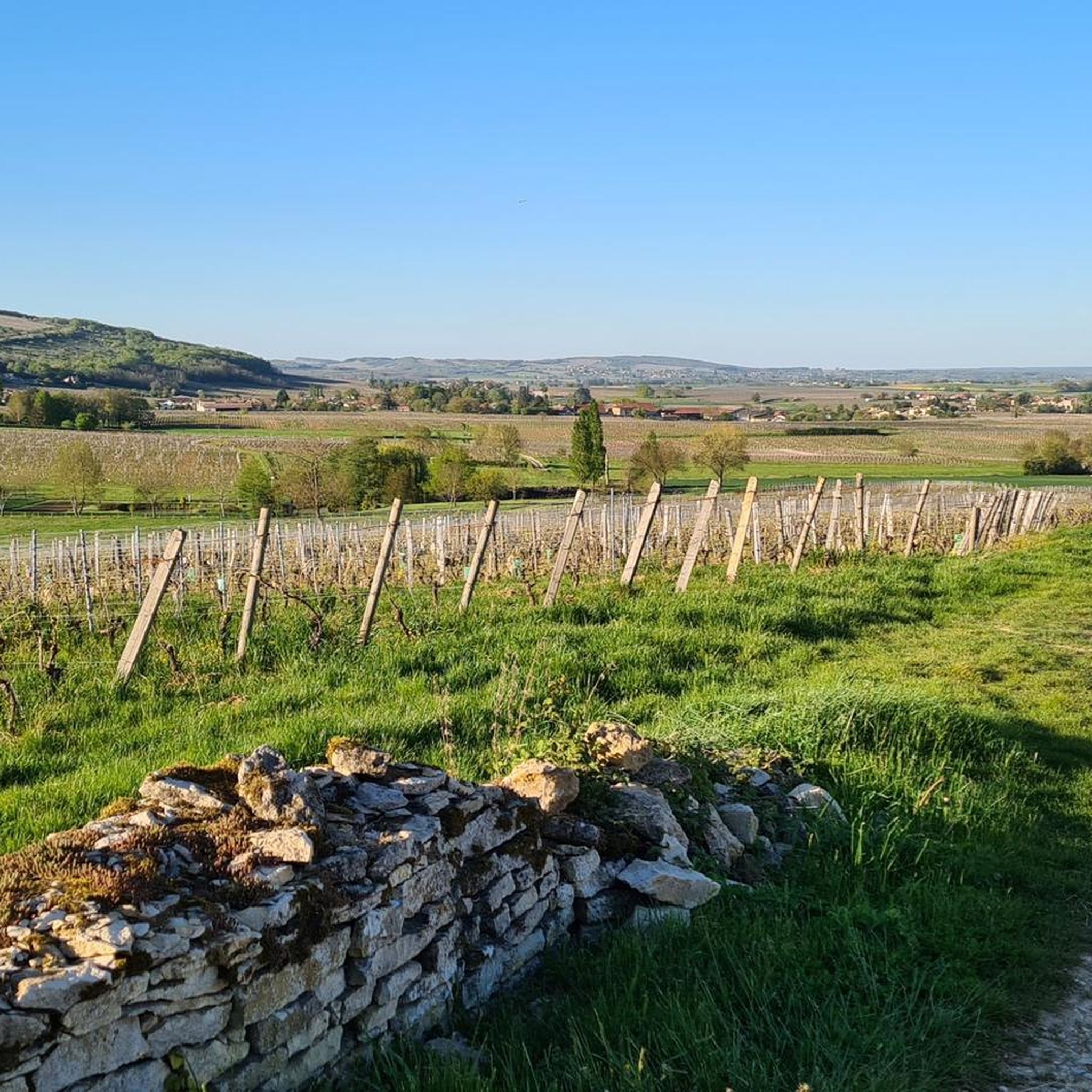
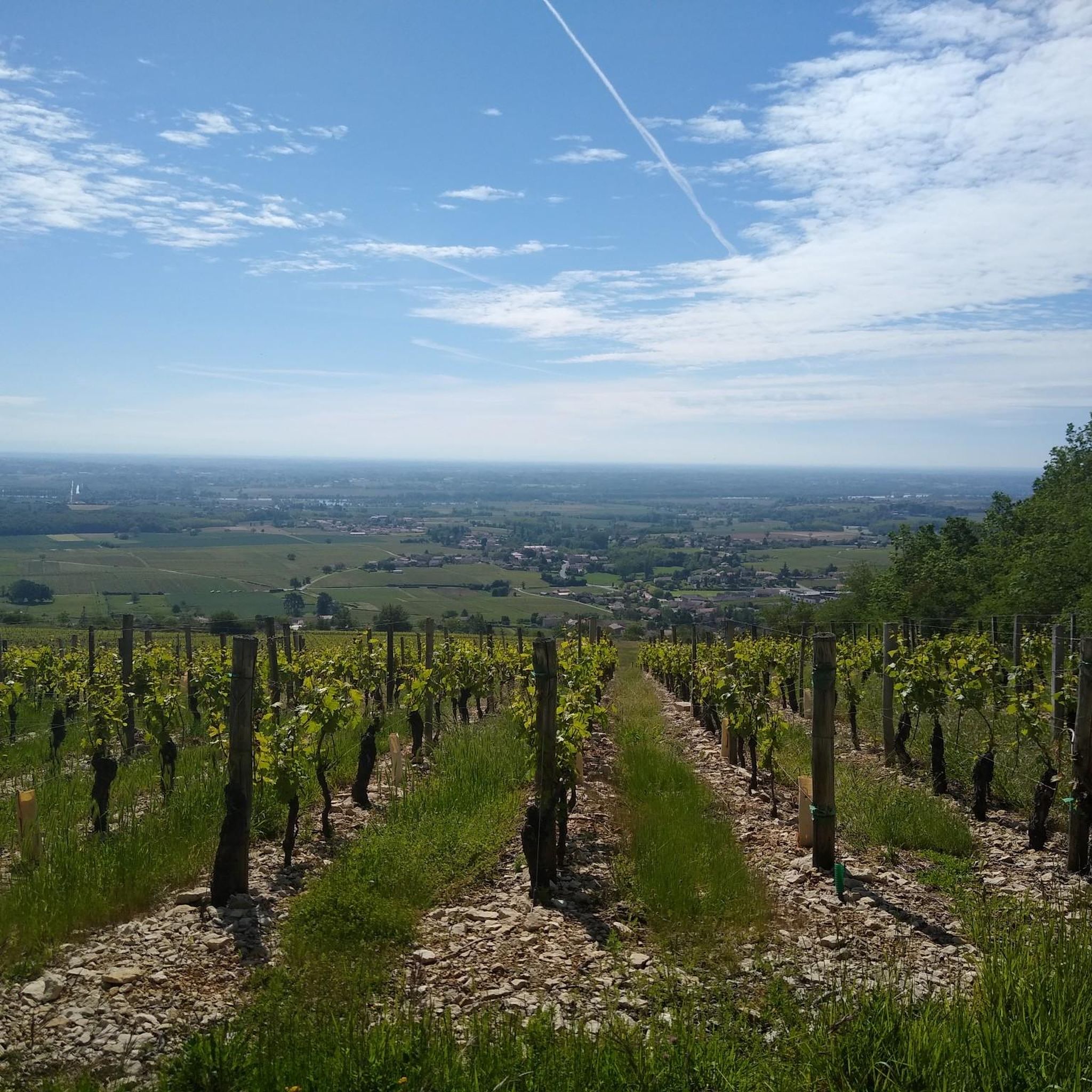
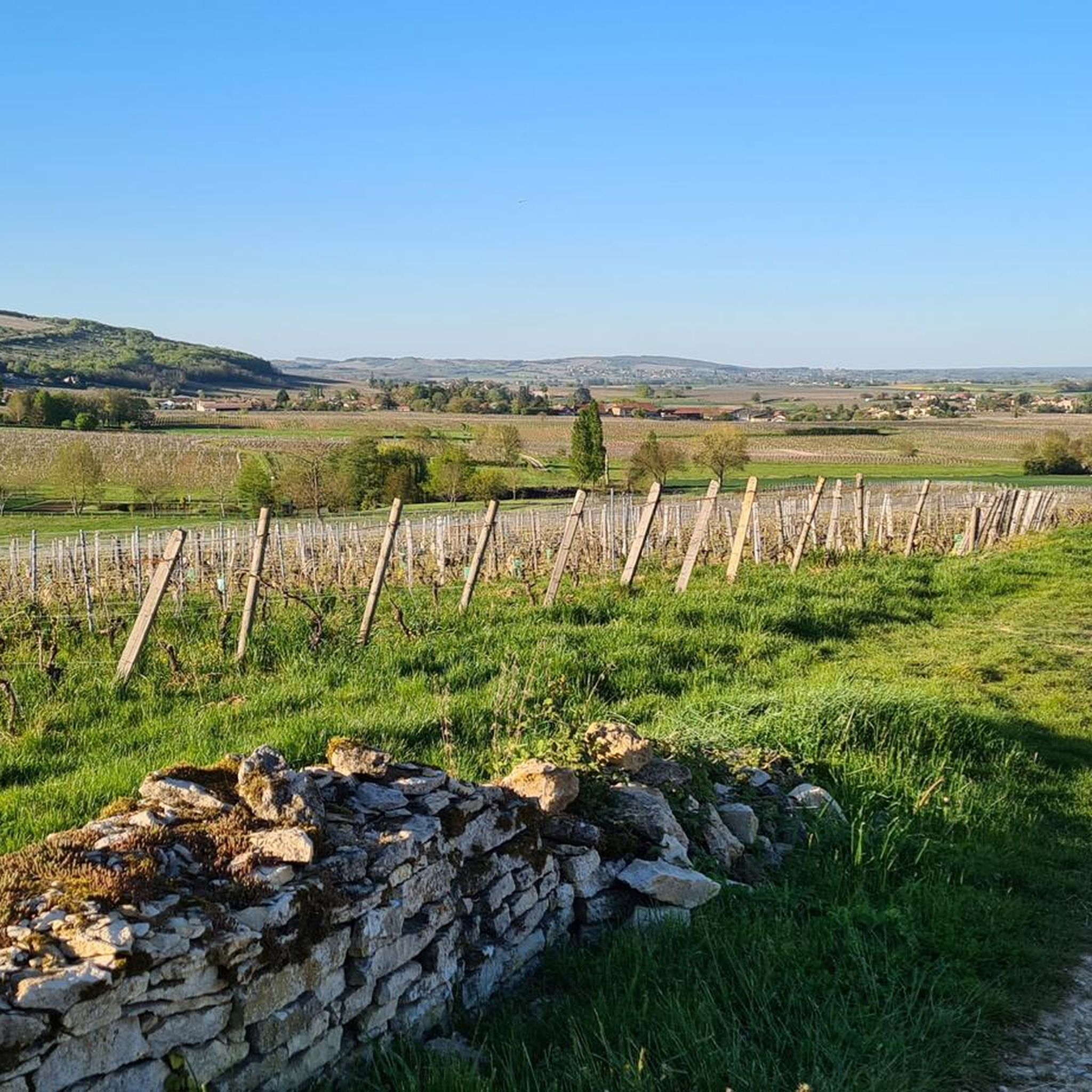


Tips from the Community

An idyllic, paved cycle path directly on the riverbank. It is a section of the well-known French long-distance cycle route „La Voie Bleue - Moselle-Saône Radweg" (Route V50) along the Saône. The entire long-distance cycle route covers around 700 kilometers from the Luxembourg border town of Apach (near the tripoint) to Lyon. The Saône section follows the natural meanders of the Saône, passing meadows, historic villages, and well-known wine-growing regions such as Mâcon. The route is mostly flat on former towpaths.
0
0
An idyllic, asphalted cycle path right on the riverbank. This is a section of the well-known French long-distance cycle route "La Voie Bleue - Moselle-Saône Radweg" (Route V50) along the Saône. The entire long-distance cycle route runs for around 700 kilometers from the French border town of Apach (near the tripoint) to Lyon. The Saône section follows the natural meanders of the Saône, passing meadows, historic villages, and well-known wine-growing regions such as Mâcon. The route runs mostly flat on former towpaths.
0
0

Along the Saône runs the unfortunately often unpaved, patchy Voie Bleu ("Blue Way"). Incidentally, there is only one Voie Bleu, unlike the Voies Vertes. From Wikivoyage.
1
0

Very flat, easy, although a little monotonous...
2
0

From this passage of the Voie Bleue, we have a lovely view of the Saône. Depending on the weather, the color of the water alternates between blue and green.
3
0
At this point on the Voie Bleue, the Mouge flows into the Saône. The low water level favors vegetation and the places are known to fishermen for their fish-rich waters. It is a pleasant site for a break with a beautiful view of the river.
3
0

A beautiful view of the Saône as well as a nice picnic area in the shade of the tree (there are no benches however).
3
0

pleasant walk between Mâcon and Tournus
3
0
Frequently Asked Questions
What do other hikers enjoy most about hiking in La Salle?
The hiking trails around La Salle are highly rated by the komoot community, with an average score of 4.5 stars from over 120 reviews. Hikers often praise the diverse terrain, which includes rolling hills, forested valleys, and river paths, offering a blend of natural beauty and historical significance.
Are there easy or family-friendly hiking trails in La Salle?
Yes, La Salle offers several easy routes suitable for families. For instance, the Between Tournus and Mâcon loop from La Salle is an easy 6.2 miles (10 km) trail that takes about 1 hour 37 minutes to complete, winding through pleasant rural landscapes. There are 24 easy routes available, providing options for various ability levels.
Are there any circular hiking routes in La Salle?
Many of the trails in La Salle are circular, allowing you to start and end at the same point. Popular options include the Lavoir de Laizé loop from Charbonnières, a moderate 11.0 miles (17.8 km) route, and The Peaty Moor Les Oignons loop from Boz, a moderate 7.2 miles (11.6 km) path.
What kind of landscapes can I expect to see while hiking in La Salle?
Hiking in La Salle, located within the Cévennes National Park, offers diverse landscapes. You'll encounter rolling hills, lush forested valleys, and paths along riverbanks. The region is characterized by traditional Cévenol villages and offers elevated trails with scenic views of the surrounding countryside, blending natural beauty with historical elements.
What are some interesting places to explore near the hiking trails?
While hiking in La Salle, you can explore several interesting points. Consider visiting Fleurville Lake for a tranquil natural setting, or the area Between Tournus and Mâcon which features river scenery. The Voie Bleue along the Saône River also offers picturesque views and is accessible from some routes.
Are there any natural landmarks or viewpoints to discover?
Yes, the region offers natural landmarks and viewpoints. You can visit the La Lie Quarry, which is a notable natural monument. For panoramic views, consider routes that lead towards Mont Rouge, offering elevated perspectives of the surrounding landscape.
What is the best time of year to go hiking in La Salle?
The Cévennes region, where La Salle is located, generally offers pleasant hiking conditions from spring through autumn. Spring brings blooming wildflowers, while autumn provides vibrant foliage. Summers are typically warm, making early mornings or late afternoons ideal for hiking. Winter hiking is possible, but some higher or more exposed trails might require appropriate gear due to colder temperatures.
Are dogs allowed on the hiking trails in La Salle?
Many trails in the Cévennes National Park, including those around La Salle, are generally dog-friendly, especially if kept on a leash. However, it's always recommended to check specific trail regulations or local signage, particularly in protected natural areas, to ensure dogs are permitted and to understand any specific requirements.
What should I wear for hiking in La Salle?
Given the varied terrain of rolling hills and forested valleys, it's best to wear comfortable, layered clothing suitable for the season. Sturdy hiking shoes with good grip are essential for navigating different path surfaces. Always carry water, sun protection, and a map or GPS device, especially for longer routes.
Are there any permits required for hiking in the La Salle area?
Generally, no specific permits are required for day hiking on established trails within the Cévennes National Park around La Salle. However, if you plan to engage in specific activities or access certain protected zones, it's always advisable to check with the local tourist office or the Cévennes National Park authority for any updated regulations.
How long do hikes in La Salle typically take?
Hikes in La Salle vary in duration depending on the route and your pace. Easy routes like the Between Tournus and Mâcon loop from La Salle can be completed in under 2 hours. Moderate trails, such as the Lavoir de Laizé loop from Laizé, typically take around 3 hours. Longer, more challenging routes can extend to 5 hours or more.
Is parking available at the trailheads in La Salle?
Parking is generally available near the starting points of many popular hiking trails and in the villages surrounding La Salle. It's advisable to check specific route details or local maps for designated parking areas, especially for more remote trailheads, to ensure convenient access.
Most popular attractions around La Salle

Get inspired with the komoot mobile app


Explore more
Browse the best Hikes in other regions.
