The best running trails around Lindenschied
4.6
(48)
519
runners
66
runs
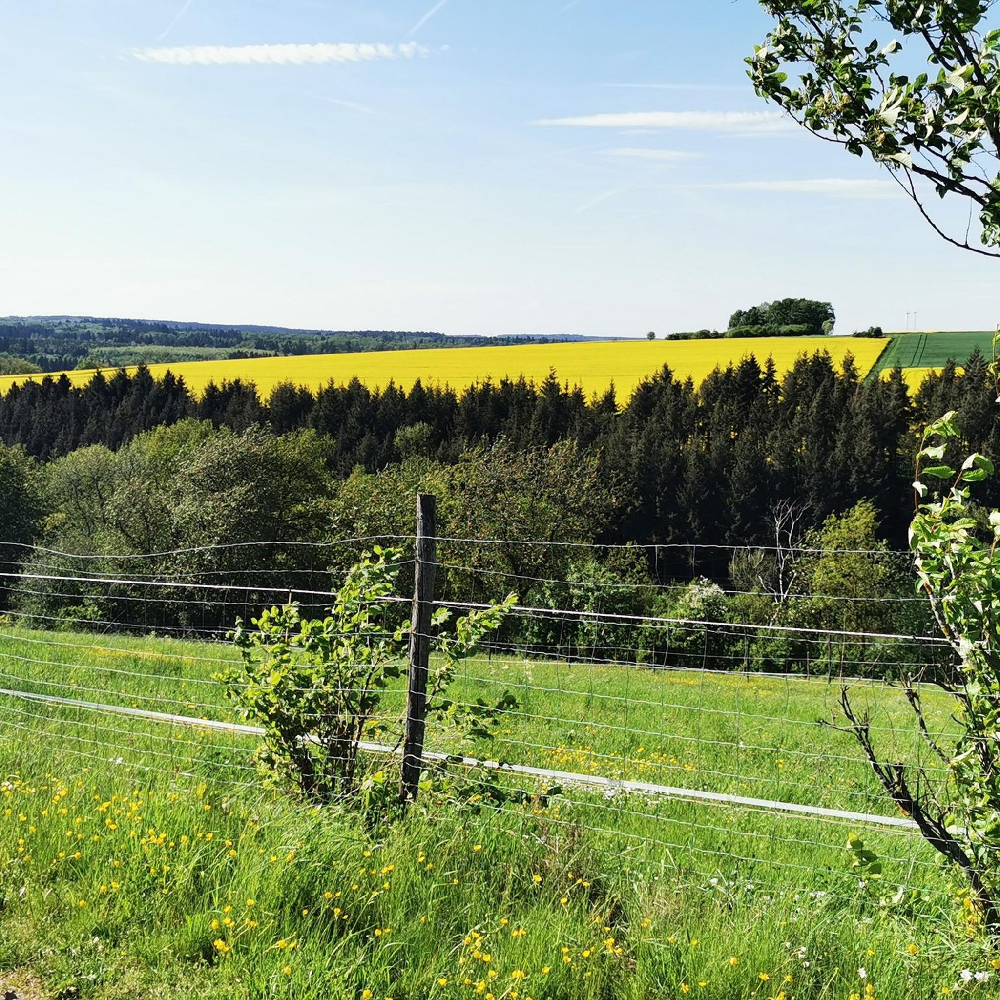
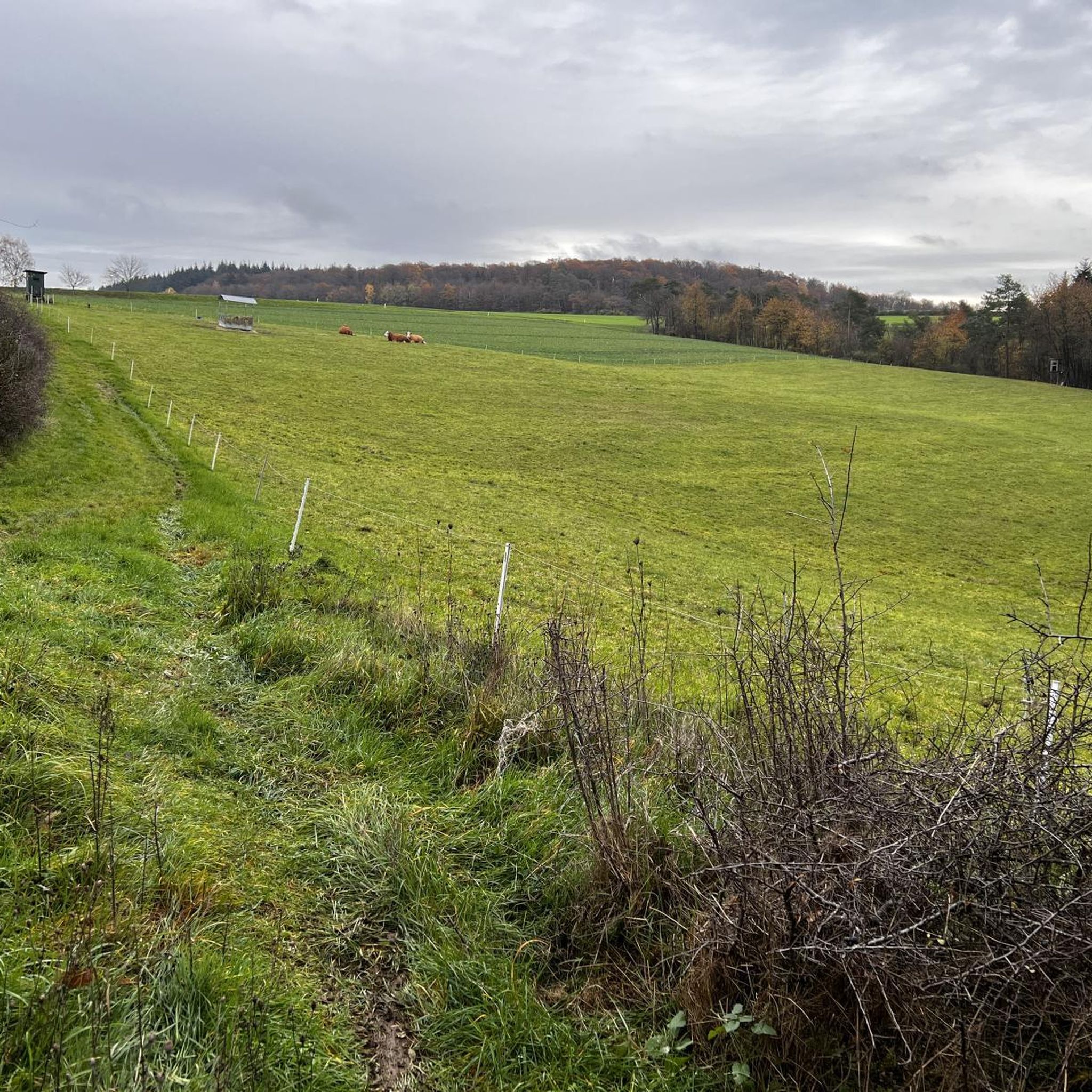
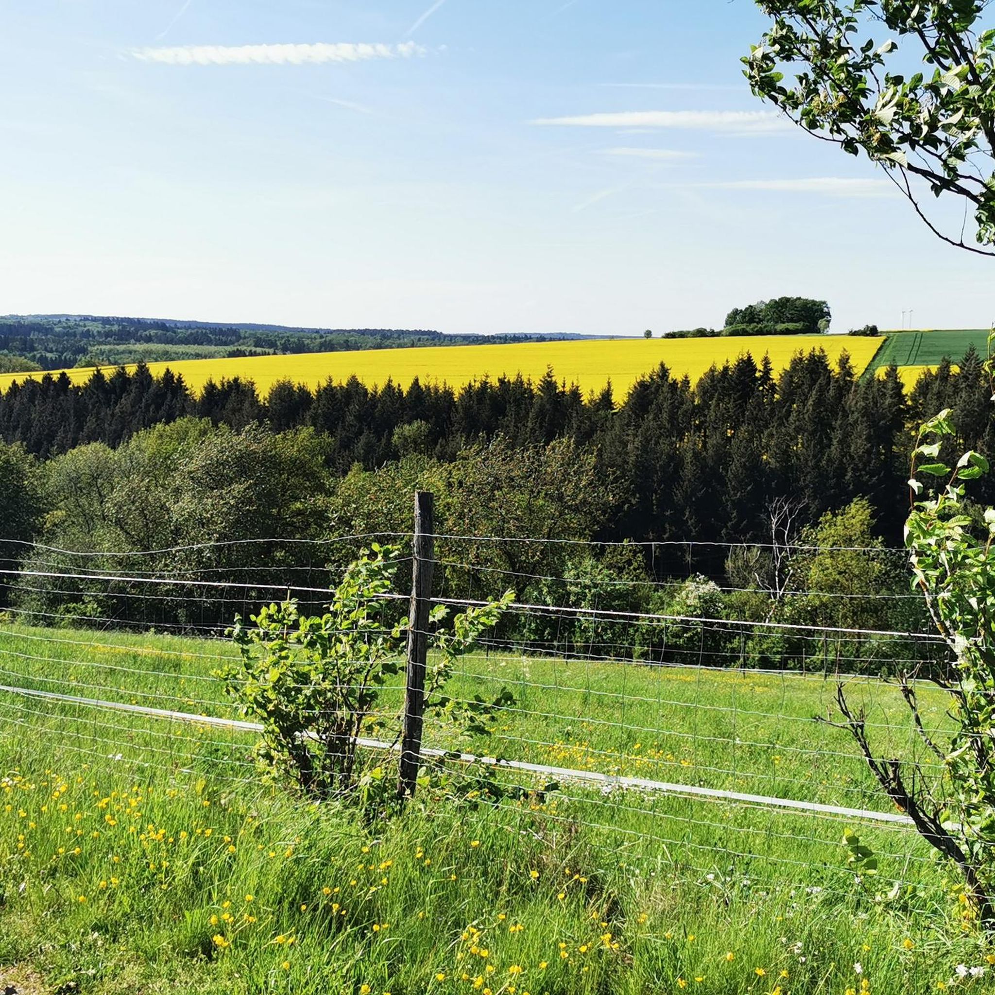
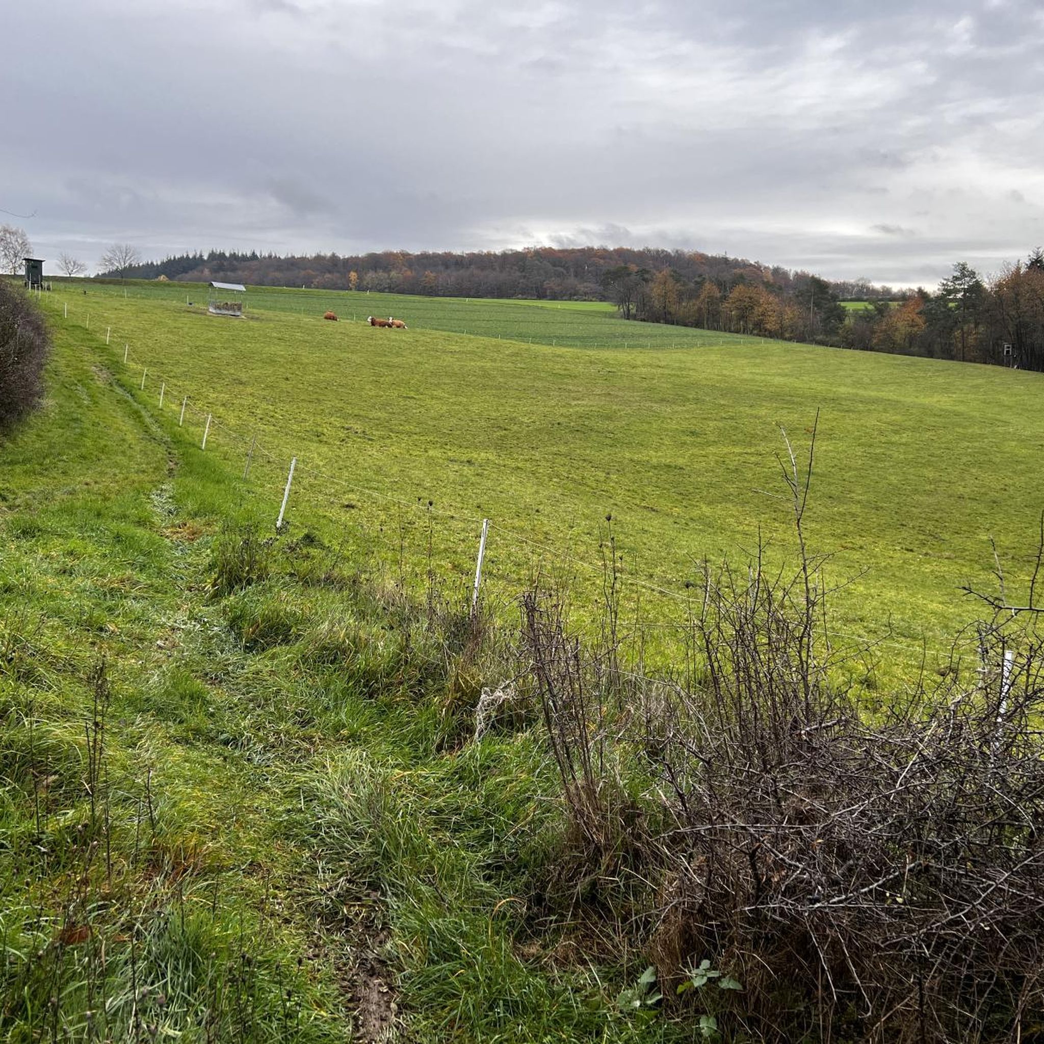
Jogging around Lindenschied offers diverse routes within the scenic Hunsrück region of Germany. The municipality is situated on a ridge, featuring 66 hectares of wooded area that provides natural settings for outdoor activities. The broader Hunsrück area enhances this with extensive trail networks, including beautiful stream landscapes and natural monuments. This environment provides varied terrain suitable for different running preferences.
Best jogging routes around Lindenschied
- The most popular jogging route is Beautiful switchbacks – Kirchberg Water Tower loop from Kirchberg…
Last updated: July 2, 2026
5.0
(2)
22
runners
7.95km
00:56
120m
120m
Moderate run. Good fitness required. Mostly paved surfaces. Suitable for all skill levels.
5.0
(2)
17
runners
6.25km
00:45
100m
90m
Moderate run. Good fitness required. Mostly paved surfaces. Suitable for all skill levels.

Sign up for free
11
runners
9.78km
01:08
220m
210m
Moderate run. Good fitness required. Mostly paved surfaces. Suitable for all skill levels.
12
runners
5.89km
00:37
60m
60m
Moderate run. Good fitness required. Mostly paved surfaces. Suitable for all skill levels.
5.0
(3)
11
runners
6.11km
00:38
60m
60m
Moderate run. Good fitness required. Mostly paved surfaces. Suitable for all skill levels.
Get access to more routes and recommendations from other explorers.
Sign up for free
Already have an account?
Our route recommendations are based on thousands of hikes, rides, and runs completed by other people on komoot.
Start today with a free account
Your next adventure awaits.
Login or Signup

Tips from the Community

The most beautiful water tower I have ever seen!
0
0

Nice idea. But at that moment you are also grateful that your own child is doing well
0
0

The water tower is the landmark of Kirchberg and is clearly visible from afar
0
0
The water tower is the landmark of Kirchberg and is visible from far away
0
0

Good footwear is an advantage!
0
0

The water tower in Kirchberg is a striking point in the city. Functional yet interesting in its design, it is a local landmark
0
0
When the water level is high, the stone blocks are flooded and slippery, so the only thing that helps is to carry the bike or push it through the stream, which is not a problem but causes the e-bike motor to stand in the water.
1
0

Nice place to take a little break.
0
0
Frequently Asked Questions
How many running routes are available around Lindenschied?
There are over 70 running routes available around Lindenschied, catering to various preferences and fitness levels. The komoot community has explored these trails over 500 times, highlighting the area's popularity for outdoor activities.
What kind of terrain can I expect on the jogging trails near Lindenschied?
The jogging trails around Lindenschied offer a diverse range of terrain. You can expect to run through extensive wooded areas, along picturesque stream landscapes, and across parts of the Hunsrück-Hochebene. This mix provides varied surfaces and scenic backdrops for your runs.
Are there easy running routes suitable for beginners in Lindenschied?
Yes, Lindenschied offers several easy running routes perfect for beginners or those looking for a more relaxed jog. There are 8 routes specifically classified as easy, allowing you to enjoy the scenic Hunsrück region at a comfortable pace.
What do other runners say about the trails in Lindenschied?
The running trails in Lindenschied are highly rated by the komoot community, with an average score of 4.6 stars from over 40 reviews. Runners often praise the varied terrain, the beautiful natural scenery, and the well-maintained paths that make for an enjoyable experience.
Are there any circular running routes in the Lindenschied area?
Yes, many of the running routes around Lindenschied are circular, offering convenient starting and ending points. For example, the Kirchberg Water Tower loop from Kirchberg is a moderate 3.7-mile (5.9 km) option that allows you to return to your starting point without retracing your steps.
What natural features or landmarks can I see along the running routes?
While jogging around Lindenschied, you can encounter various natural features and landmarks. The broader Hunsrück region is known for beautiful stream landscapes and significant natural monuments. You might pass by highlights such as the Devil's Rock or the Koppenstein Tower and Ruins, which offer historical interest and scenic views.
Are there any viewpoints along the jogging trails in Lindenschied?
Yes, the Hunsrück region around Lindenschied offers several opportunities for panoramic views. While specific viewpoints might vary by route, the broader area features the Koppensteinturm, providing a 360-degree view over the Hunsrück-Hochebene, and the new observation tower on Idarkopf for breathtaking panoramas. Some local trails may offer glimpses of these expansive landscapes.
Are the running routes around Lindenschied suitable for families?
Many of the routes around Lindenschied, especially the easier ones, can be suitable for families. The region's wooded areas and stream landscapes provide a pleasant environment for outdoor activity. Consider routes with lower elevation gain and shorter distances, such as some of the 8 easy routes available, for a family-friendly experience.
Is there parking available near the running trails in Lindenschied?
While specific parking details for each trail are best checked on individual route pages, Lindenschied and its surrounding villages typically offer local parking options. Given the area's focus on outdoor activities, you can generally find parking near trailheads or in village centers, especially for popular routes.
What is the best time of year for jogging in Lindenschied?
Lindenschied offers enjoyable jogging conditions throughout much of the year. Spring and autumn provide pleasant temperatures and beautiful scenery with blooming flora or vibrant fall foliage. Summer is also suitable, especially in the shaded wooded areas. Winter jogging is possible, but be mindful of potential snow or ice on trails, particularly in higher elevations.
Are there any longer, more challenging running routes for experienced runners?
Absolutely. For experienced runners seeking a challenge, Lindenschied and the Hunsrück region offer more demanding routes. There are 11 routes classified as difficult, and many moderate routes feature significant elevation changes. For example, the Blickersau stream crossing loop from Hausen is a moderate 6.1-mile (9.8 km) trail with over 200 meters of elevation gain, providing a good workout.
Can I find cafes or places to rest near the jogging routes?
While Lindenschied itself is a smaller municipality, the broader Hunsrück region has various villages and towns where you can find cafes, pubs, or accommodation. It's advisable to check the specific route you plan to take for nearby amenities, or plan your run to pass through a larger village like Kirchberg for refreshment stops.
Most popular routes around Lindenschied
Most popular attractions around Lindenschied

Get inspired with the komoot mobile app


Explore more
Browse the best Running Trails & Routes in other regions.
