The best running trails around Guyonvelle
91
runners
20
runs
Jogging around Guyonvelle offers an opportunity to explore a region characterized by extensive forests covering 40% of its area, alongside meadows and agricultural lands. The terrain is predominantly hilly and undulating, providing varied elevations for runners. Natural features such as source resurgences and the nearby L'Apance River contribute to the diverse landscape.
Best jogging routes around Guyonvelle
- The most popular jogging route is Melay Town Hall – Melay Washhouse loop from Melay, a 6.5 miles (10.4 km) trail that…
Last updated: August 25, 2026
3
runners
9.74km
01:06
140m
140m
Moderate run. Good fitness required. Mostly paved surfaces. Suitable for all skill levels.
3
runners
12.3km
01:26
160m
160m
Moderate run. Good fitness required. Mostly paved surfaces. Suitable for all skill levels.

Sign up for free
3
runners
13.0km
01:31
170m
170m
Moderate run. Good fitness required. Mostly paved surfaces. Suitable for all skill levels.
3
runners
9.33km
01:01
180m
170m
Moderate run. Good fitness required. Mostly paved surfaces. Suitable for all skill levels.
3
runners
4.38km
00:28
50m
50m
Easy run. Great for any fitness level. Mostly paved surfaces. Suitable for all skill levels.
Get access to more routes and recommendations from other explorers.
Sign up for free
Already have an account?
Our route recommendations are based on thousands of hikes, rides, and runs completed by other people on komoot.
Start today with a free account
Your next adventure awaits.
Login or Signup
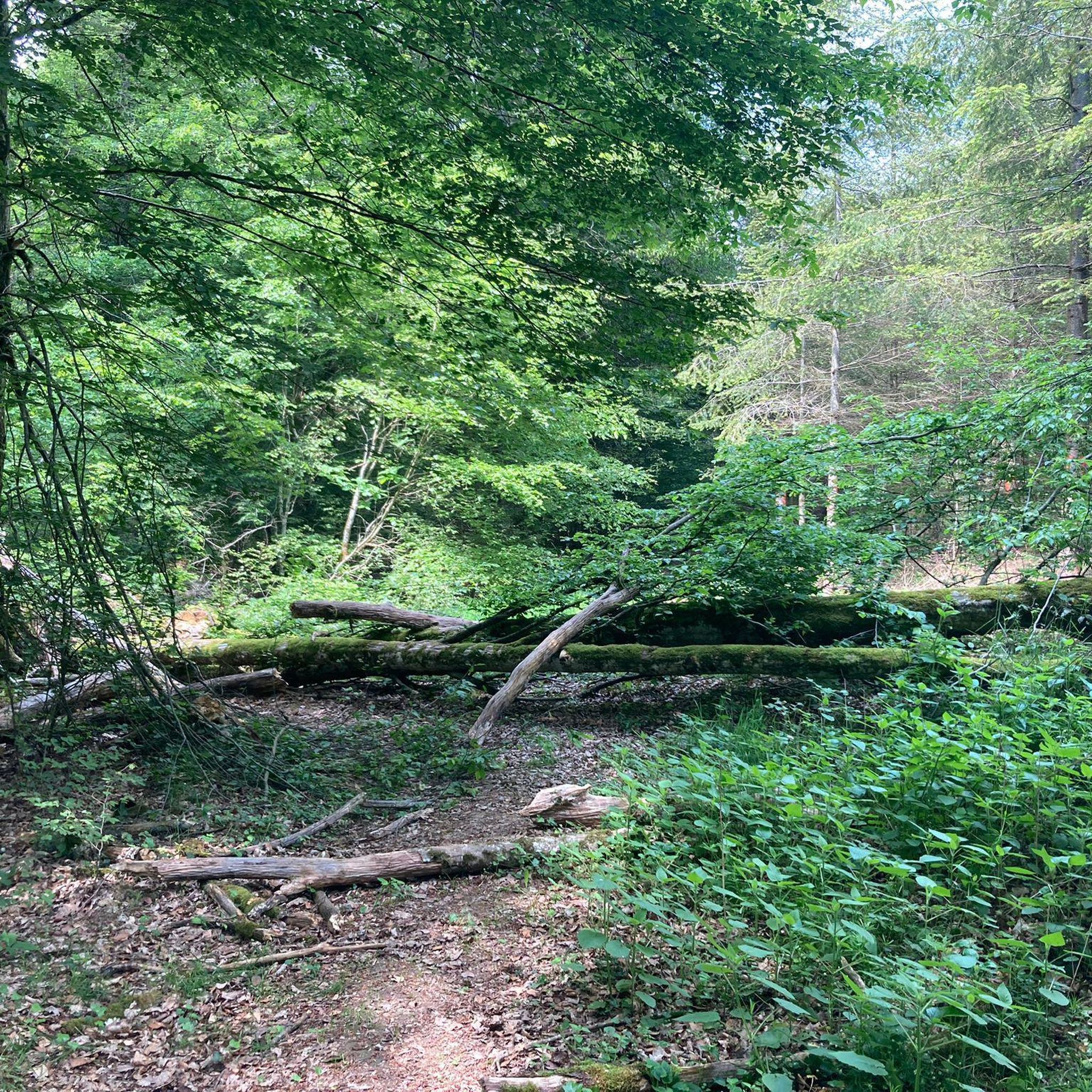
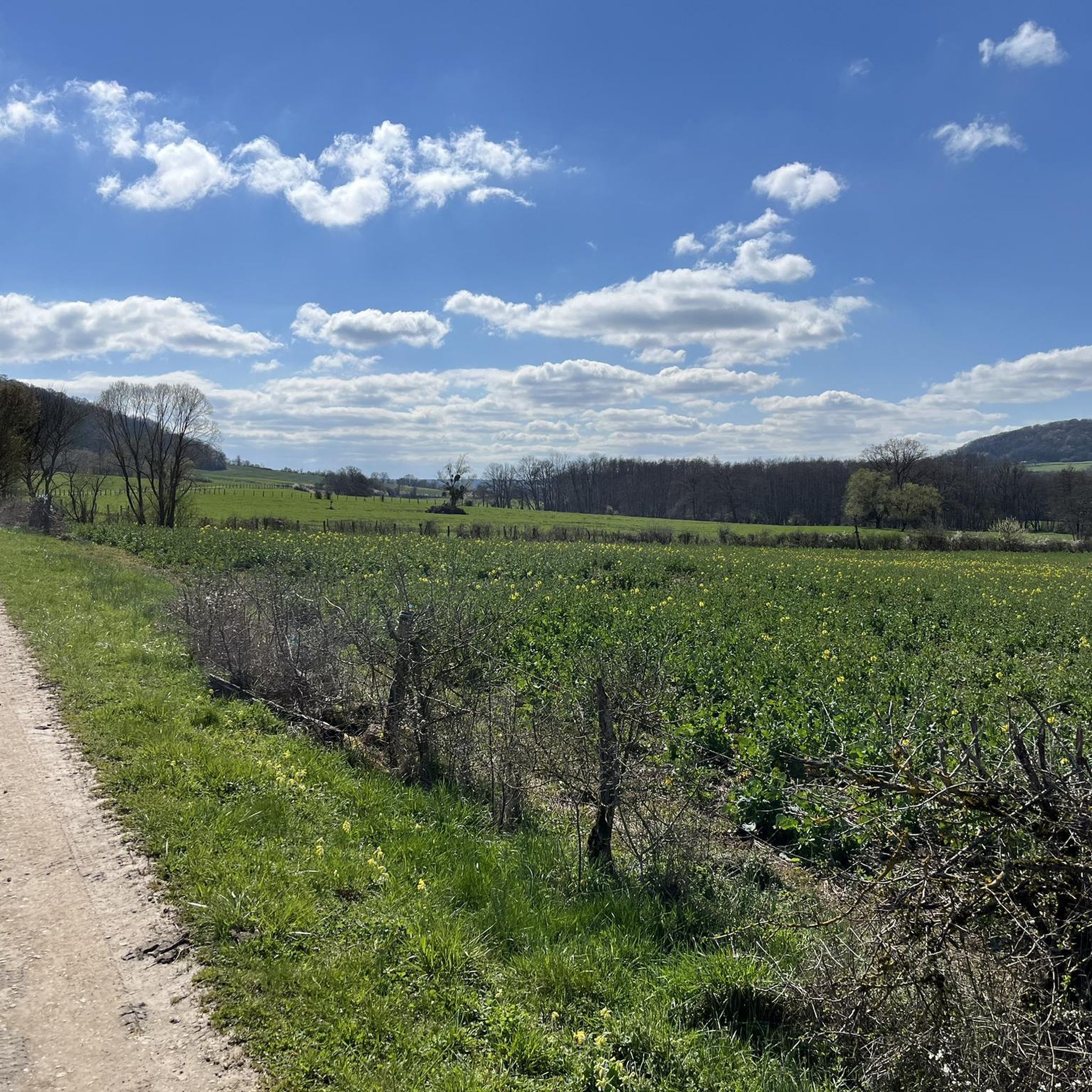
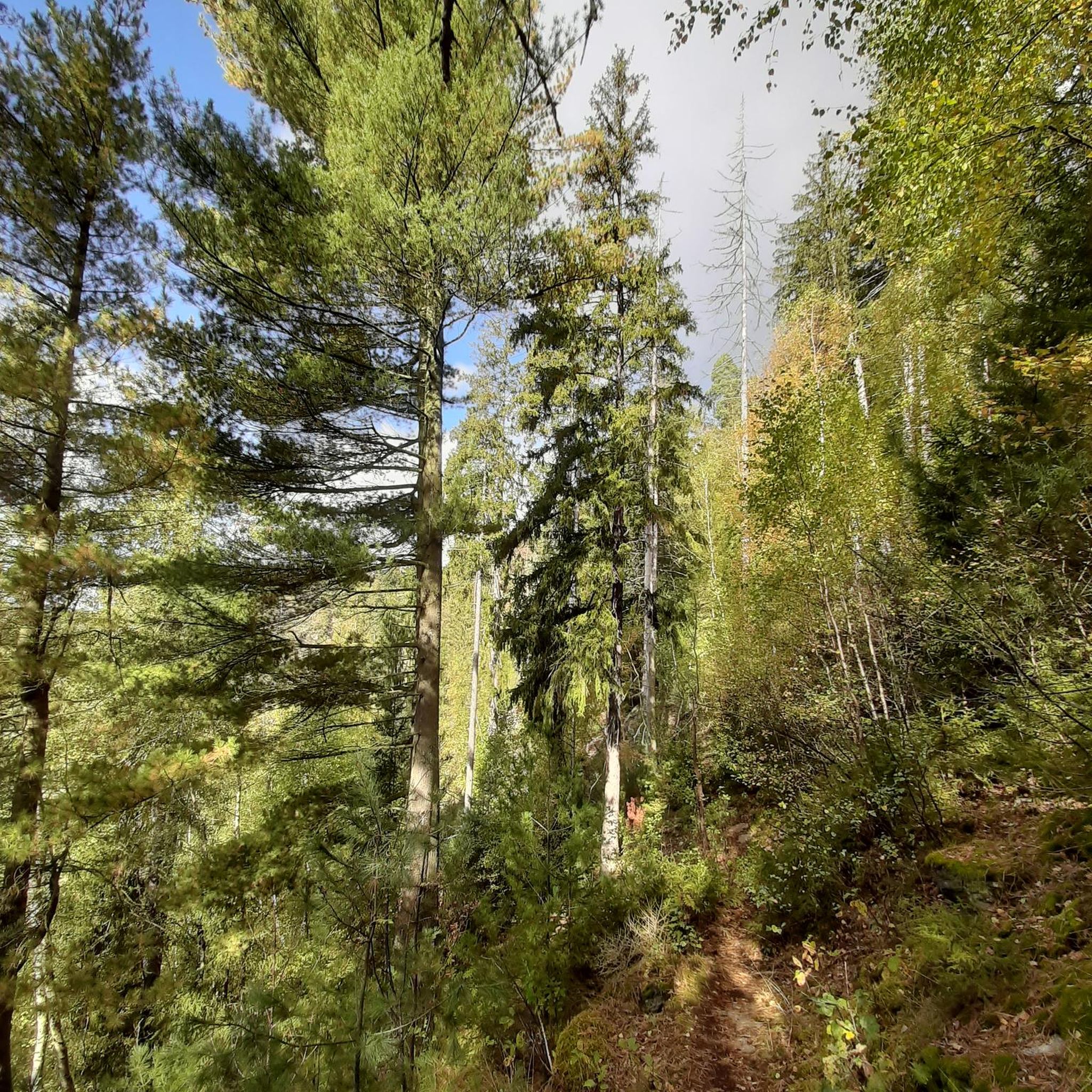

Tips from the Community


At this point it goes up a bit steeply, but it's worth it
3
0
Frequently Asked Questions
What kind of terrain can I expect on running trails around Guyonvelle?
The running trails around Guyonvelle are characterized by a diverse landscape. You'll find extensive forests covering 40% of the area, alongside meadows and agricultural lands. The terrain is predominantly hilly and undulating, offering varied elevations and a mix of shaded paths and open sections for your runs.
Are there any easy running routes suitable for beginners in Guyonvelle?
Yes, while most routes are moderate, there is at least one easy running route available. The region's trails often include accessible paths through shaded forests and along small streams, making them suitable for various fitness levels. For example, the 'Circuit des Bétoires' is an easy loop mentioned in local research that offers a pleasant experience.
Can I find long-distance running trails in the Guyonvelle area?
Absolutely. For those seeking a longer challenge, routes like the 'Circuit des 5 villages' offer an extensive exploration of the local area, spanning approximately 22 km. Another option for experienced trail runners is the 'Course des Coteaux de Coiffy', a more challenging and hilly 32 km route.
What are some notable natural features or landmarks I might see while jogging in Guyonvelle?
Guyonvelle's natural environment is rich with features. You might encounter unique natural source resurgences along certain local circuits. The nearby L'Apance River in Bourbonne-les-Bains offers pleasant routes along its banks. Additionally, the 14th-century Notre-Dame de Presles Chapel, nestled in woodlands, is a historical landmark along scenic routes.
Are there any circular running routes available in Guyonvelle?
Yes, many of the running routes in Guyonvelle are designed as loops. For instance, the Melay Town Hall – Melay Washhouse loop from Melay and the Melay Washhouse loop from Melay are popular circular options. The 'Circuit des Bétoires' is also an easy loop originating from Guyonvelle.
What kind of attractions are near the running trails in Guyonvelle?
Beyond the trails themselves, you can explore several attractions. The nearby thermal spa town of Bourbonne-les-Bains features an arboretum with hundred-year-old trees and the Château de Bourbonne-les-Bains. For a unique experience, consider the Treehouse (L'Arbre à Cabane), which provides immediate access to forest runs.
How many running routes are available to explore in the Guyonvelle region?
There are around 15 dedicated running routes available for you to explore in the Guyonvelle region. These routes cater to various preferences, ranging from easy loops to more challenging, longer trails, ensuring a diverse experience for all runners.
What do other runners say about the trails in Guyonvelle?
Over 70 runners have used komoot to explore Guyonvelle's varied terrain. While specific ratings aren't available, the community frequently praises the region's extensive forests, hilly landscapes, and the presence of natural source resurgences, highlighting the diverse and scenic experiences available.
Are there any running routes that pass by water features?
Yes, some routes in the Guyonvelle area incorporate water features. The 'Circuit des Bétoires' includes segments along small streams. Additionally, the 'Petit chemin au bord ruisseau du Moulin' is a charming path along the Moulin stream, offering a pleasant, albeit sometimes overgrown, option for a run.
What is a good moderate running route to try in Guyonvelle?
A great moderate option is the Highland Cattle loop from Velles. This route covers approximately 9.7 km and offers varied landscapes with gentle elevation changes, making it a popular choice among local runners.
Is there a running route that offers a mix of forest and open fields?
Yes, the Running loop from Maizières-sur-Amance is an excellent choice for this. It leads through both forested areas and agricultural lands, providing a varied and scenic experience as you run.
What is a good option for a slightly longer moderate run in the area?
For a longer moderate run, consider the Running loop from Soyers. This route spans approximately 12.1 km and offers a good challenge with its moderate elevation changes, taking you through the beautiful regional landscape.
Most popular attractions around Guyonvelle

Get inspired with the komoot mobile app


Explore more
Browse the best Running Trails & Routes in other regions.
