
The best running trails around Éteignières
4.8
(12)
565
runners
88
runs
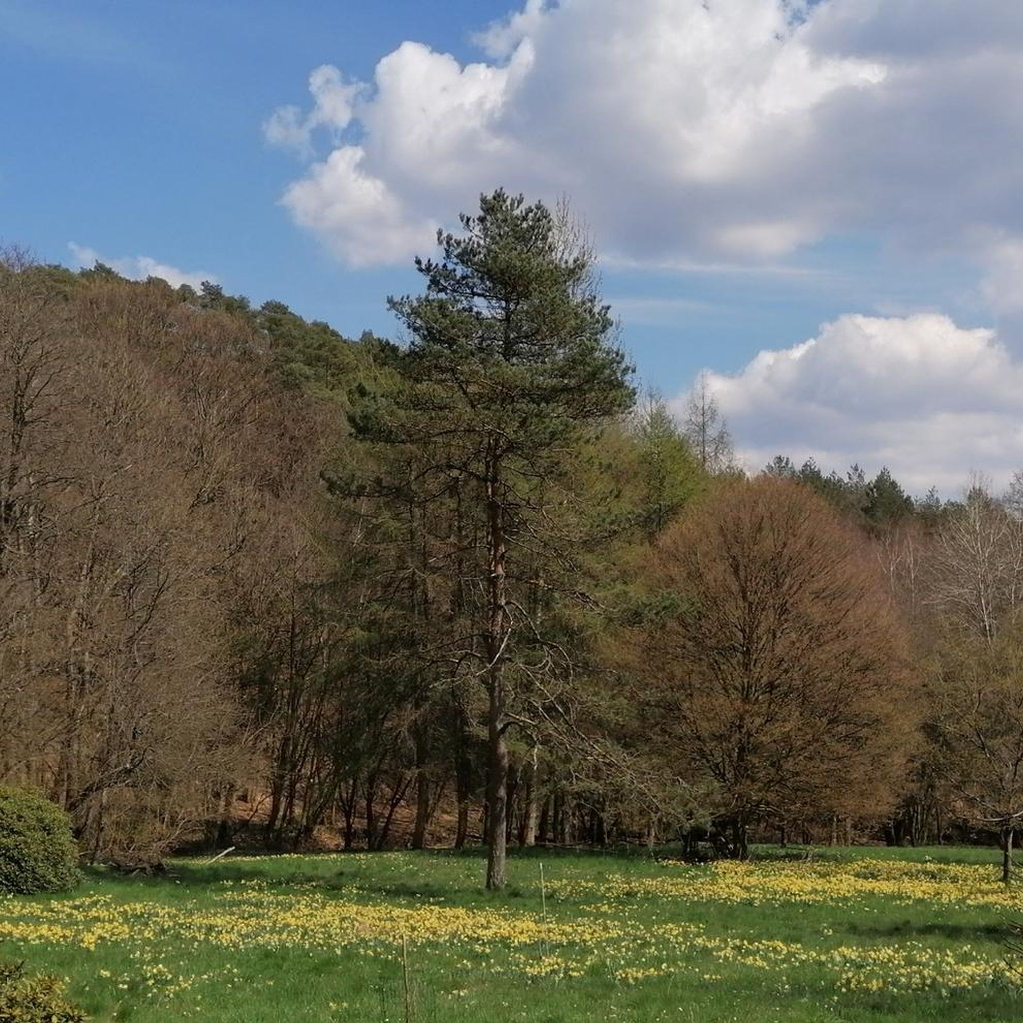
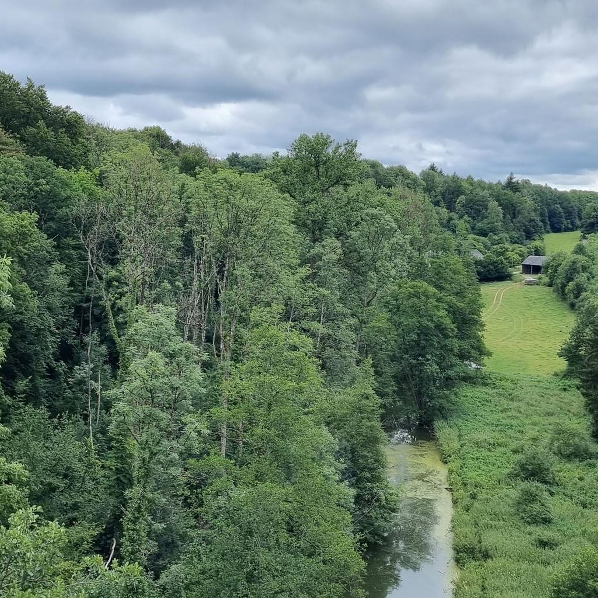
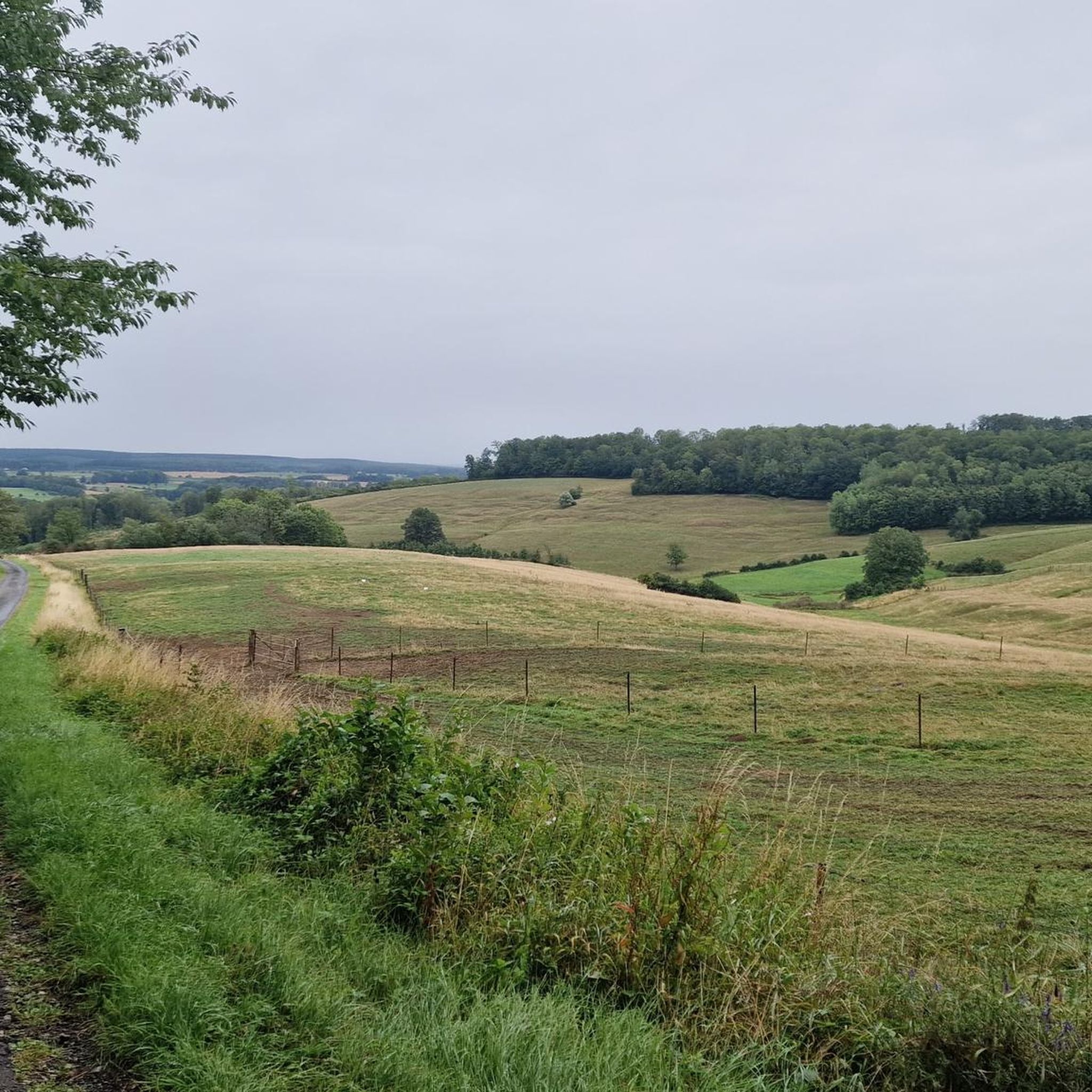
Jogging around Éteignières offers access to a diverse landscape within the Ardennes Regional Natural Park. The region is characterized by dense forests, traditional hedged farmland, and varied terrain, including dry grasslands and rocky escarpments. Water features like rivers and the Étang de la Fourchinée are also present. This geological transition zone provides a mix of natural environments suitable for different running experiences.
Best jogging routes around Éteignières
- The most popular jogging route is Running loop from Éteignières, a 4.6…
Last updated: June 29, 2026
9
runners
7.38km
00:46
70m
70m
Moderate run. Good fitness required. Mostly paved surfaces. Suitable for all skill levels.
6
runners
9.90km
01:02
100m
100m
Moderate run. Good fitness required. Mostly paved surfaces. Suitable for all skill levels.

Sign up for free
5
runners
12.5km
01:19
110m
110m
Moderate run. Good fitness required. Mostly paved surfaces. Suitable for all skill levels.
4
runners
5.84km
00:37
70m
60m
Moderate run. Good fitness required. Mostly paved surfaces. Suitable for all skill levels.
3
runners
10.5km
01:07
80m
80m
Moderate run. Good fitness required. Mostly paved surfaces. Suitable for all skill levels.
Get access to more routes and recommendations from other explorers.
Sign up for free
Already have an account?
Our route recommendations are based on thousands of hikes, rides, and runs completed by other people on komoot.
Start today with a free account
Your next adventure awaits.
Login or Signup

Frequently Asked Questions
How many running routes can I find around Éteignières?
Komoot offers a wide selection of running routes in the Éteignières area, with over 80 trails available. These include 12 easy routes, 64 moderate routes, and 6 challenging trails, catering to various fitness levels.
What kind of terrain can I expect on the jogging trails in Éteignières?
The jogging trails around Éteignières offer a diverse landscape within the Ardennes Regional Natural Park. You'll encounter dense forests, traditional hedged farmland (bocage), dry grasslands, and even rocky escarpments. Many routes feature natural forest paths with varying elevations.
Are there any family-friendly jogging paths in Éteignières?
While specific family-friendly routes are not detailed in the guide, the region offers easier paths suitable for a more relaxed pace. The 'Noah's Ark' park, with its 1 km educational path, could also provide a gentle option for families looking to combine jogging with an educational experience.
Can I bring my dog on the running trails in Éteignières?
Yes, the region is generally dog-friendly. The 'Jogging d'Éteignières' event, for example, even features canicross options, indicating that many natural forest paths are suitable for running with your canine companion.
Are there any circular running routes available?
Absolutely! Many of the routes around Éteignières are designed as loops. For instance, you can explore the Running loop from Auvillers-les-Forges, a moderate 5.8 km trail, or the Tourbière de Cul-des-Sarts loop from Regniowez, which is a moderate 10.6 km route.
What natural features or landmarks can I see while jogging in the area?
The region is rich in natural beauty and historical sites. You might encounter water features like the Ruisseau de Bosneau and the Étang de la Fourchinée natural reserve, or wooded areas like the Bois de Seloignes. Nearby attractions include the historic fortified town of Rocroi and the Stone Crusher Ruins of Maubert-Fontaine.
What do other runners say about the jogging experience in Éteignières?
The running routes in Éteignières are highly rated by the komoot community, with an average score of 4.9 stars from over 10 reviews. Runners often praise the varied terrain, the quiet woodlands, and the well-maintained paths that offer a great outdoor experience.
Are there any longer or more challenging running routes for experienced runners?
Yes, for those seeking a longer challenge, the Running loop from Taillette is a moderate 12.3 km trail that takes about 1 hour 17 minutes to complete. The region also features 6 routes classified as difficult for more experienced runners.
Is public transport available to access the running trails around Éteignières?
While Éteignières is nestled within a natural park, public transport options directly to trailheads might be limited. It's advisable to check local bus schedules or consider driving, as many routes are accessible by car with parking available near starting points.
What is the best time of year to go jogging in Éteignières?
The diverse landscapes of the Ardennes Regional Natural Park make Éteignières suitable for jogging across multiple seasons. Spring and autumn offer pleasant temperatures and beautiful scenery, while summer provides longer daylight hours. Even in winter, some trails may be accessible, though conditions can vary.
Are there any specific points of interest or historical sites along the routes?
Beyond the natural beauty, you can find historical points of interest. For example, the fortified town of Rocroi, with its unique star-shaped fortifications, is nearby. You might also encounter the King's Bastion or the Fortified Church of Saint-Nicolas of Signy-le-Petit, offering glimpses into the region's heritage.
Most popular attractions around Éteignières

Get inspired with the komoot mobile app


Explore more
Browse the best Running Trails & Routes in other regions.
