The best walks and hikes around Éteignières
4.1
(291)
1,346
hikers
107
hikes
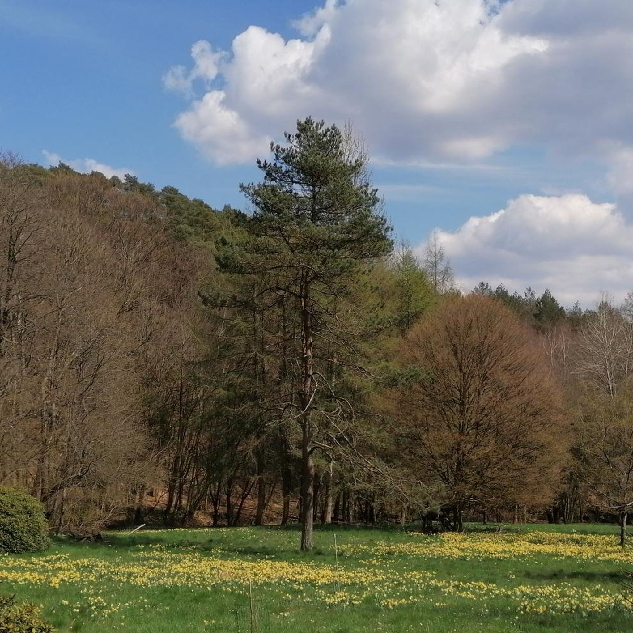
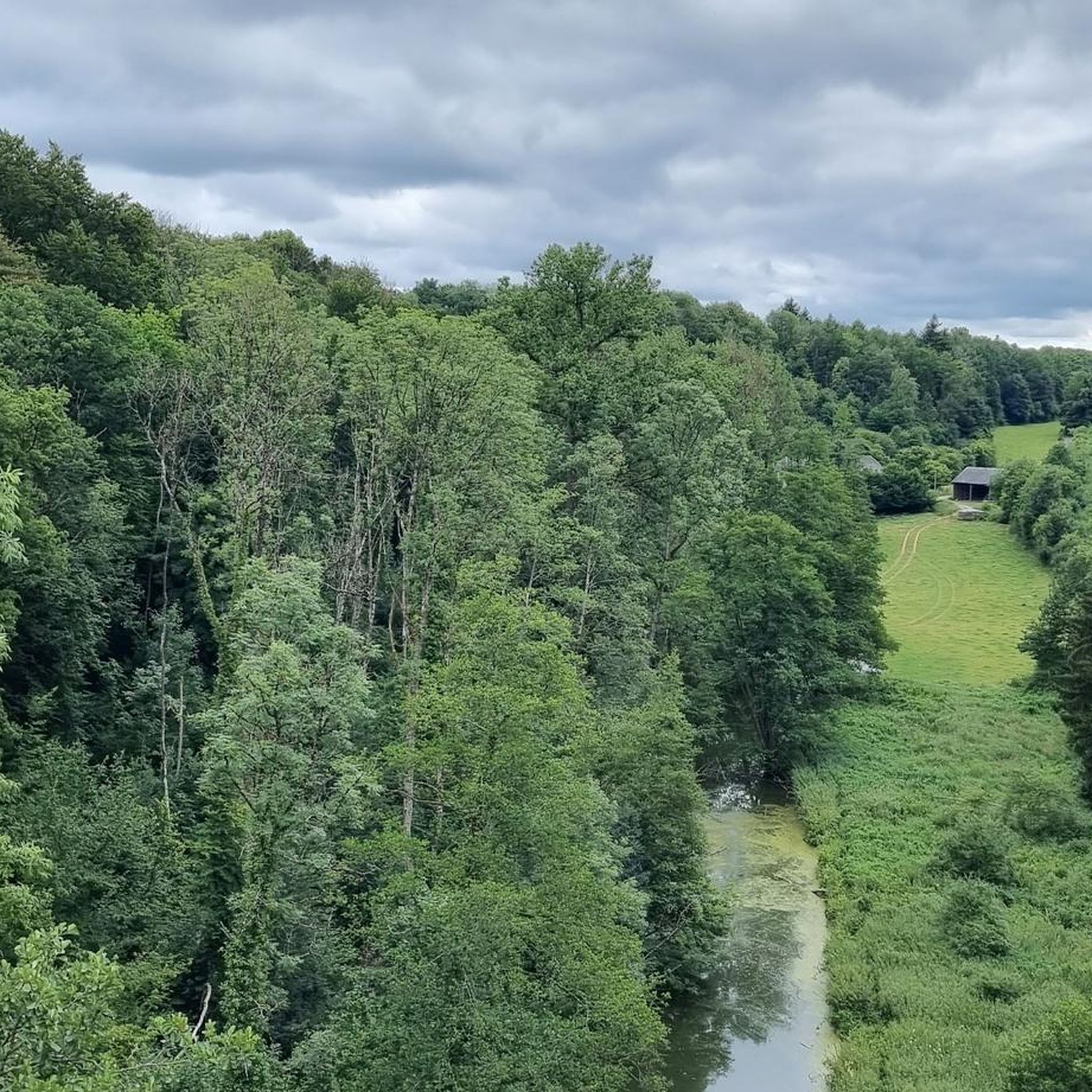
Hiking around Éteignières offers access to the diverse landscapes of the Ardennes Regional Natural Park. The terrain is characterized by a mix of dense forests, open fields, valleys, and high plateaus, providing varied backdrops for outdoor exploration. Waterways, including the River Sormonne, are also present, contributing to the region's natural features. Elevated viewpoints, often referred to as "balconies," offer panoramic vistas across the verdant environment.
Best hiking trails in Éteignières
- The most popular hiking route is Cul-des-Sarts Church loop from…
Last updated: June 26, 2026
3.3
(4)
49
hikers
5.59km
01:29
50m
60m
Easy hike. Great for any fitness level. Easily-accessible paths. Suitable for all skill levels.
4.6
(5)
11
hikers
11.1km
02:59
130m
130m
Moderate hike. Good fitness required. Easily-accessible paths. Suitable for all skill levels.

Sign up for free
6
hikers
7.29km
01:55
60m
60m
Easy hike. Great for any fitness level. Easily-accessible paths. Suitable for all skill levels.
3.0
(1)
5
hikers
10.8km
02:52
110m
110m
Moderate hike. Good fitness required. Easily-accessible paths. Suitable for all skill levels.
5.0
(1)
5
hikers
8.25km
02:11
80m
70m
Moderate hike. Good fitness required. Easily-accessible paths. Suitable for all skill levels.
Get access to more routes and recommendations from other explorers.
Sign up for free
Already have an account?
Our route recommendations are based on thousands of hikes, rides, and runs completed by other people on komoot.
Start today with a free account
Your next adventure awaits.
Login or Signup


Tips from the Community

Very nice building with large picnic tables for a break
0
0

Located in the heart of the territory of the commune of the Ardennes Thiérache, near the forest of Pothées, it was recognized by the Charter of Milon de Nanteuil in 1208. Crossed by the departmental road 8043 halfway between Charleville-Mézières and Hirson and 10 minutes from the A304 it is a lively town center with various shops, businesses, artisans and services. A dozen sports and cultural associations animate Maubert-Fontaine all year round. Maubert-Fontaine is home to many monuments: Saint Nicholas Church, with inside the war memorial, sculpted by a Mauberian, Henri Migeot; Fountain; the private high school, with its lime tree, which was requisitioned by the Germans as a hospital during the 14/18 war; the war memorial; the Stele of Saint Remi. From this, along the forest alley of the dead girl, we arrive at the crusher where in 1915 the Germans exploited important quarries. Several personalities originating from Maubert-Fontaine have passed through the history of France and their names have been given to certain places: Jardin Bidois, former Jean-Marie Carré college. Other important characters were part of Maubert's story, such as Nicolas de Caruel and Napoleon Bonaparte who came to rest at the Hôtel du Grand Turc on the night of Waterloo. The proximity of the forest allows beautiful walks with certain points of interest: the 2-legged oak and the oak of the Franco-Belgian friendship. In the town you will find various sports facilities for all ages: playground, multi-sports ground, petanque ground, fitness room, sports complex, fishing pond. Source: https://www-ardennes--thierache-com.translate.goog/fr/directory/entry/maubert-fontaine?_x_tr_sl=fr&_x_tr_tl=nl&_x_tr_hl=nl&_x_tr_pto=sc
2
0
Frequently Asked Questions
How many hiking trails are available around Éteignières?
There are nearly 100 hiking trails around Éteignières, offering a wide range of options for exploring the diverse landscapes of the Ardennes Regional Natural Park. These include easy walks, moderate treks, and some more challenging routes.
What kind of terrain can I expect on hikes in Éteignières?
The terrain around Éteignières is quite varied, characterized by dense forests, open fields, valleys, and high plateaus. You'll encounter features like ancient oaks, ferns, and holly, with some paths leading to elevated viewpoints offering panoramic vistas. The region is also known for its waterways, including the River Sormonne.
Are there any easy hiking routes suitable for beginners or families?
Yes, Éteignières offers many easy hiking routes. For example, the Cul-des-Sarts Church loop from Cul-des-Sarts Gué des Bagniaux is an easy 5.6 km trail. Another accessible option is the Hiking loop from Censes Gallois, which is 5.8 km and also considered easy. These trails are generally suitable for all fitness levels.
Can I find circular hiking routes in the Éteignières area?
Absolutely. Many of the trails around Éteignières are designed as circular loops, allowing you to start and end at the same point. Examples include the popular Hiking loop from Maubert-Fontaine, a moderate 11.1 km route, and the Cul-des-Sarts Church loop from Regniowez, an easy 7.0 km option.
What are some interesting landmarks or attractions to see while hiking?
While hiking around Éteignières, you can discover several historical and natural points of interest. Consider visiting the historic town of Rocroi, or the impressive King's Bastion. The Stone Crusher Ruins of Maubert-Fontaine also offer a glimpse into the region's industrial past. For a cultural stop, the Scourmont Abbey is also nearby.
What do other hikers enjoy most about the trails in Éteignières?
The hiking trails in Éteignières are highly rated by the komoot community, with an average score of 4.2 stars from over 270 reviews. Hikers often praise the diverse landscapes, from dense forests to open fields, and the well-maintained paths that allow for immersive nature experiences within the Ardennes Regional Natural Park.
Are there any challenging hikes for experienced trekkers?
Yes, among the nearly 100 trails, there are 19 routes classified as difficult, offering more challenging options for experienced hikers. These routes typically feature greater elevation changes and longer distances, providing a more strenuous outdoor experience within the varied topography of the Ardennes.
Is Éteignières a good destination for nature and wildlife observation?
Éteignières, being part of the Ardennes Regional Natural Park, is excellent for nature and wildlife observation. The dense forests and varied landscapes are home to rich biodiversity. You might spot Konik Polski horses grazing freely or find traces of wild boars, making it a rewarding area for those interested in local fauna.
What is the best time of year to go hiking in Éteignières?
The Ardennes Regional Natural Park, including the area around Éteignières, is beautiful throughout the year. Spring brings lush greenery and blooming wildflowers, while autumn offers stunning fall foliage. Summer is ideal for longer days and warmer weather, and even winter can be magical for those who enjoy crisp air and snowy landscapes, though some paths might be more challenging.
Are there any specific trails that follow waterways or offer views of rivers?
Yes, the region is known as a 'water territory' with a dense hydrographic network. The River Sormonne forms part of Éteignières' northern border, and some trails, like the Cul-des-Sarts Church loop from Regniowez, lead through dense forests and along its banks, offering scenic views of the river.
Are there options for longer, moderate hikes in the area?
Certainly. For those looking for a moderate challenge, the Hiking loop from Maubert-Fontaine is a popular choice. This 11.1 km route offers views of surrounding forests and open fields, typically taking a few hours to complete. Another moderate option is the Cul-des-Sarts Church loop from Cul-des-Sarts, which spans 10.8 km.
Most popular attractions around Éteignières

Get inspired with the komoot mobile app


Explore more
Browse the best Hikes in other regions.
