
The best running trails around L'Échelle-Saint-Aurin
4.6
(9)
237
runners
66
runs
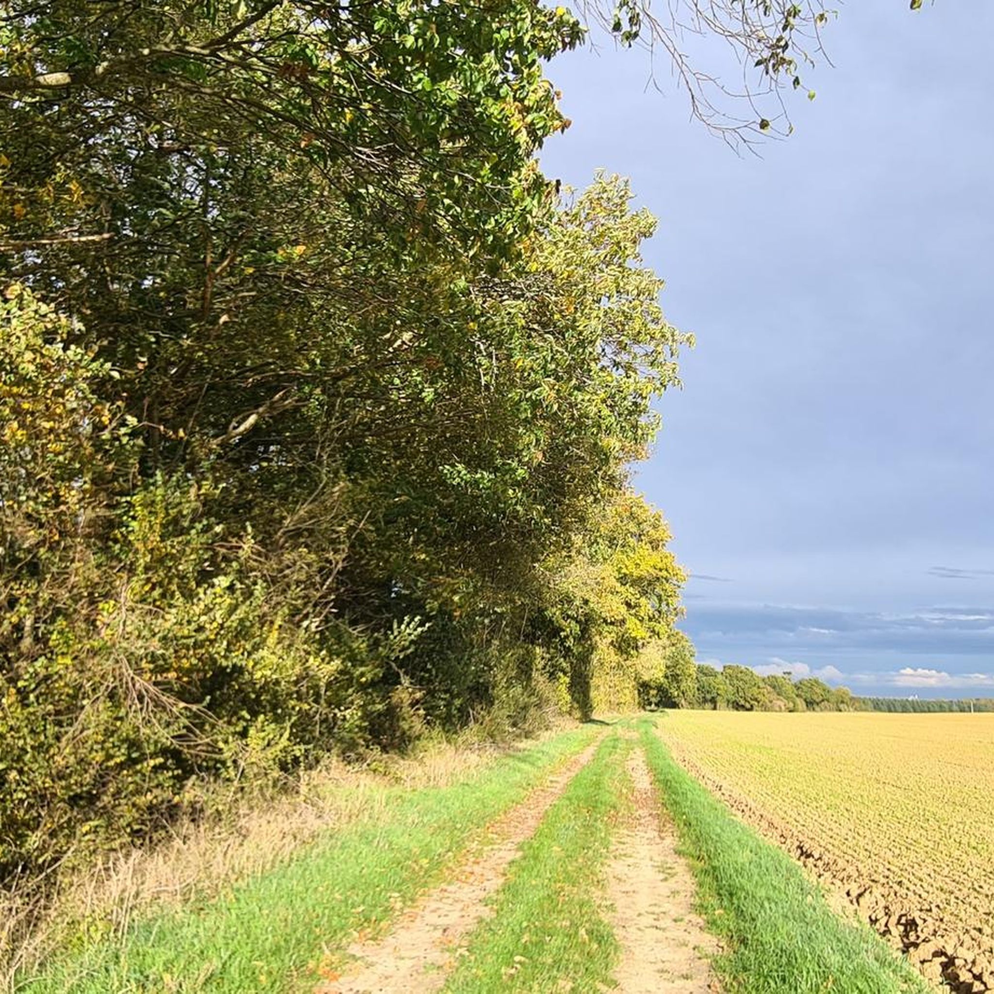
Jogging around L'Échelle-Saint-Aurin offers diverse running routes through the Somme department of the Hauts-de-France region. The area is characterized by varied topography, including the Avre River valley and limestone hillsides known as "larris," which provide gentle inclines and descents. These natural features create a tranquil setting for outdoor pursuits, with paths suitable for exploring on foot. The region's blend of agricultural lands and natural waterways provides a conducive environment for varied and scenic running experiences.
Best jogging routes around L'Échelle-Saint-Aurin
…Last updated: June 30, 2026
4.0
(1)
11
runners
11.1km
01:12
40m
40m
Moderate run. Good fitness required. Mostly paved surfaces. Suitable for all skill levels.
5
runners
16.0km
01:46
110m
110m
Hard run. Very good fitness required. Mostly paved surfaces. Suitable for all skill levels.

Sign up for free
4
runners
9.21km
00:58
30m
30m
Moderate run. Good fitness required. Mostly paved surfaces. Suitable for all skill levels.
5
runners
9.57km
01:01
30m
30m
Moderate run. Good fitness required. Mostly paved surfaces. Suitable for all skill levels.
5
runners
7.08km
00:44
30m
30m
Moderate run. Good fitness required. Mostly paved surfaces. Suitable for all skill levels.
Get access to more routes and recommendations from other explorers.
Sign up for free
Already have an account?
Our route recommendations are based on thousands of hikes, rides, and runs completed by other people on komoot.
Start today with a free account
Your next adventure awaits.
Login or Signup



Frequently Asked Questions
How many running routes are available around L'Échelle-Saint-Aurin?
There are over 70 running routes available around L'Échelle-Saint-Aurin, offering a wide variety of options for joggers of all levels.
What kind of terrain can I expect on the running trails in this region?
The region around L'Échelle-Saint-Aurin features diverse terrain, including paths through river valleys and along limestone hillsides known as "larris." These natural lookouts offer exceptional panoramic views. You'll find a mix of flat sections and more challenging inclines, providing an engaging experience for runners.
Are there easy running routes suitable for beginners or a relaxed jog?
Yes, L'Échelle-Saint-Aurin offers several easy running routes. For instance, there are 3 routes classified as easy, perfect for beginners or those looking for a more relaxed pace. These typically have minimal elevation gain.
Are there any circular running routes in L'Échelle-Saint-Aurin?
Yes, many of the running routes in the area are circular, allowing you to start and finish at the same point. A popular option is the 7 km Route loop from Roye, which is a moderate 11.2 km trail.
What do other runners say about the trails in L'Échelle-Saint-Aurin?
The running routes in L'Échelle-Saint-Aurin are highly rated by the komoot community, with an average score of 4.5 stars from 9 reviews. Over 300 runners have explored the varied terrain, often praising the natural beauty and serene environment.
Can I bring my dog on the running trails around L'Échelle-Saint-Aurin?
Many natural trails in the Ardennes region are dog-friendly, but it's always advisable to keep your dog on a leash, especially in agricultural areas or near wildlife. Check specific route details on komoot for any local regulations or recommendations.
Are there any family-friendly running routes in the area?
While specific 'family-friendly' designations aren't always explicit, the easier and moderate routes with less elevation gain, such as the Bois de l'Abbaye loop from Roye (5.3 km), can be suitable for families looking for a pleasant outdoor activity. Always consider the distance and difficulty for your family's fitness level.
What kind of landmarks or natural sights can I see while running?
Beyond the picturesque river valleys and limestone 'larris' offering panoramic views, you can integrate local heritage into your runs. The municipality of L'Échelle-Saint-Aurin features a 15th-century castle, a church, an open-air washing facility, and an arboretum. The wider region also boasts areas like the Haute Somme nature area with its unique larris and viewpoints.
Is there parking available near the running routes?
While specific parking spots for each route are not detailed, L'Échelle-Saint-Aurin is a small commune, and parking is generally available in the village or at the start points of popular trails. It's recommended to check the route description on komoot for specific parking suggestions if available.
Are there longer or more challenging running routes for experienced runners?
Yes, for experienced runners seeking a greater challenge, there are 13 routes classified as difficult. Many moderate routes, like the Running loop from Saint-Mard (10.2 km with 79m elevation gain), also offer a good workout with varied terrain and elevation changes.
Can I access the running trails using public transport?
L'Échelle-Saint-Aurin is a small commune, and public transport options might be limited. It's generally recommended to travel by car to access the trailheads. For specific public transport information, it's best to consult local transport authorities for the Somme department.
What is the best time of year to go running in L'Échelle-Saint-Aurin?
The Hauts-de-France region, where L'Échelle-Saint-Aurin is located, offers beautiful natural settings throughout the year. Spring and autumn provide pleasant temperatures and vibrant scenery, while summer can be warm but enjoyable, especially in the mornings or evenings. Winter running is also possible, though trails might be muddy or require appropriate gear.
Most popular routes around L'Échelle-Saint-Aurin

Get inspired with the komoot mobile app


Explore more
Browse the best Running Trails & Routes in other regions.
