The best MTB trails around L'Échelle-Saint-Aurin
4.5
(2)
32
riders
4
rides
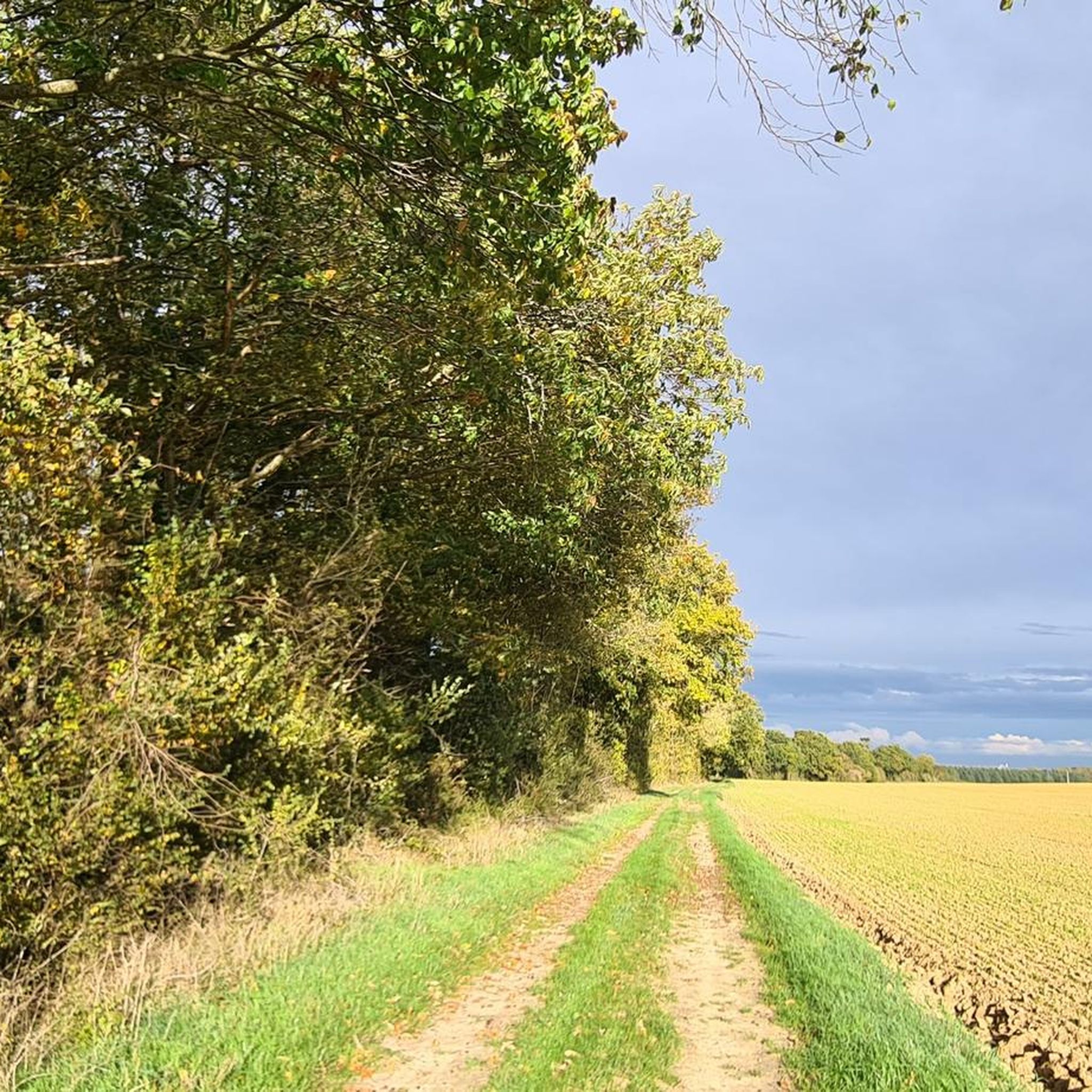
Mountain bike trails around L'Échelle-Saint-Aurin are situated in the Somme department of the Picardy region in France. The landscape is characterized by gently rolling agricultural land interspersed with small woodlands and river valleys typical of the region. While not a prominent mountain biking destination, the area offers routes that traverse rural paths and quiet country roads. The terrain generally features modest elevation changes, making it suitable for less strenuous rides.
Best mountain bike trails around L'Échelle-Saint-Aurin
- The most popular mountain…
Last updated: June 29, 2026
4.0
(1)
10
riders
26.6km
02:00
230m
220m
Moderate mountain bike ride. Good fitness required. Advanced riding skills necessary.
4
riders
18.0km
01:22
150m
150m
Easy mountain bike ride. Great for any fitness level. Suitable for all skill levels.

Sign up for free
7
riders
43.4km
03:14
340m
340m
Moderate mountain bike ride. Good fitness required. Advanced riding skills necessary.
2
riders
47.9km
03:42
550m
550m
Moderate mountain bike ride. Good fitness required. Advanced riding skills necessary.
4
riders
46.3km
03:58
710m
710m
Moderate mountain bike ride. Good fitness required. Advanced riding skills necessary.
Our route recommendations are based on thousands of hikes, rides, and runs completed by other people on komoot.
Start today with a free account
Your next adventure awaits.
Login or Signup



Tips from the Community

excellent journey
0
0


The name Trois-Rivières refers to the three rivers that flow through the new commune: the Avre, the Cologne, and the Trois Doms. A beautiful panorama 👍.
0
0


Please note that the St Martin quarries are closed to the public, even though they are located on a hiking trail. The new owner has recently installed cameras for ticketing purposes...
0
0

A beautiful walk to see the castle and the quarries !!!
0
0

Hello, are there other things besides sculpture in this career?
0
0
Hello yes this site is fully accessible by mountain bike
0
0
Frequently Asked Questions
How many mountain bike trails are available around L'Échelle-Saint-Aurin?
There are 4 mountain bike trails documented on komoot around L'Échelle-Saint-Aurin. These routes offer a mix of easy and moderate options, traversing the local agricultural landscapes and small woodlands.
What kind of terrain can I expect on mountain bike trails in this area?
The terrain around L'Échelle-Saint-Aurin is characterized by gently rolling agricultural land, interspersed with small woodlands and river valleys. You'll find modest elevation changes, making for less strenuous rides primarily on rural paths and quiet country roads.
Are there mountain bike trails suitable for beginners or families?
Yes, there is at least one easy mountain bike trail suitable for beginners or families. The VBois de Gueule loop from Conchy-les-Pots is an 11.2-mile (18.0 km) path with an elevation gain of 501 feet (153 m), offering a pleasant ride through local woodlands and open fields.
What are some of the longer mountain bike routes available?
For longer rides, consider the Château de Bellinglise – Caves loop from Conchy-les-Pots, which is 49.3 km (30.6 miles) long, or the Climbing loop from Montdidier, spanning 46.1 km (28.6 miles). Both are moderate routes that take several hours to complete.
Are there any circular mountain bike routes?
Yes, all the mountain bike routes listed for the L'Échelle-Saint-Aurin area are circular. Examples include the Climbing loop from Hangest-en-Santerre and the Montagne de Fignières – Join montagne de fignère loop from Faverolles.
What is the best time of year to go mountain biking in L'Échelle-Saint-Aurin?
Given the agricultural landscape and modest elevation, mountain biking in L'Échelle-Saint-Aurin is generally pleasant from spring through autumn. The trails are less likely to be affected by heavy snow, but can be muddy after rain. Summer offers longer daylight hours, while spring and autumn provide cooler temperatures and vibrant scenery.
Are there any specific natural features or viewpoints to look out for on the trails?
While L'Échelle-Saint-Aurin is not known for dramatic mountain vistas, the trails offer views of the typical Picardy landscape: rolling agricultural fields, small pockets of woodland, and quiet river valleys. The charm lies in the serene rural scenery rather than specific prominent landmarks.
Is L'Échelle-Saint-Aurin a good destination for mountain biking if I'm looking for challenging routes?
L'Échelle-Saint-Aurin is not primarily a destination for challenging mountain biking. The routes are characterized by modest elevation changes and are generally rated as easy to moderate. If you're seeking highly technical or steep climbs, other regions in France like the Alps or Pyrenees would be more suitable.
What are the typical distances of mountain bike routes in the L'Échelle-Saint-Aurin area?
The mountain bike routes in this area vary in length. You can find shorter options like the VBois de Gueule loop from Conchy-les-Pots at 18.0 km (11.2 miles), up to longer routes such as the Château de Bellinglise – Caves loop from Conchy-les-Pots which is 49.3 km (30.6 miles).
Are there options for mountain biking if I prefer less crowded trails?
Yes, L'Échelle-Saint-Aurin is a small village and not a major tourist destination for mountain biking. The trails here are generally quiet, offering a peaceful experience away from crowded routes found in more popular regions. You can expect to enjoy the rural tranquility.
What are the options for parking when accessing mountain bike trails near L'Échelle-Saint-Aurin?
As a small village, L'Échelle-Saint-Aurin and its surrounding hamlets typically offer informal parking options in village centers or near trailheads. It's advisable to look for designated public parking areas in nearby towns or villages, or park respectfully in appropriate roadside spots, ensuring you do not obstruct local access.
Is public transport available to reach L'Échelle-Saint-Aurin for mountain biking?
Public transport options directly to L'Échelle-Saint-Aurin are limited due to its small size. It is primarily accessible by car. For detailed information on regional bus services, you would need to consult local transport authorities for routes connecting to larger towns in the Somme department.
Can I find places to eat or stay overnight in L'Échelle-Saint-Aurin?
L'Échelle-Saint-Aurin itself is a very small village and may have limited amenities. For a wider selection of restaurants, cafes, or accommodation (such as gîtes or chambres d'hôtes), you would likely need to look in larger nearby towns within the Somme department.
Are dogs allowed on the mountain bike trails?
Generally, dogs are permitted on public paths and trails in rural France, especially if kept under control. However, specific rules can vary, particularly when trails pass through private land or nature reserves. Always ensure your dog is well-behaved and consider local signage. It's also respectful to keep them on a leash, especially near agricultural fields or livestock.
Most popular routes around L'Échelle-Saint-Aurin

Get inspired with the komoot mobile app


Explore more
Browse the best MTB trails in other regions.
