The best running trails around Tuntenhausen
4.5
(51)
464
runners
47
runs
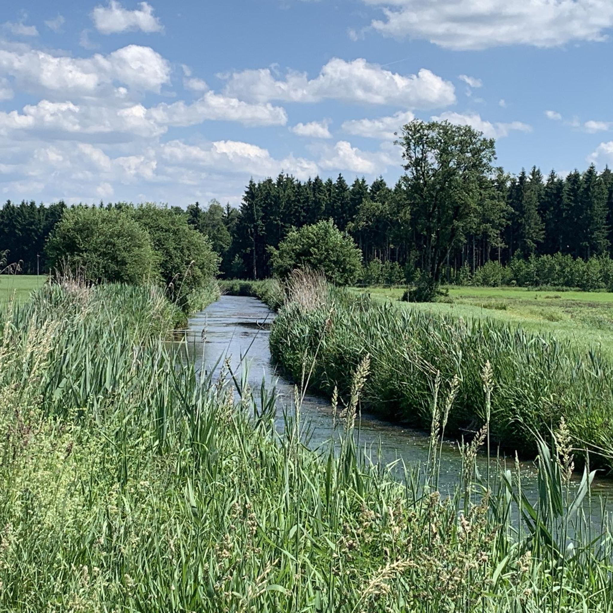
Jogging around Tuntenhausen offers diverse terrain across its Upper Bavarian landscape. The region features rolling hills, extensive forests, and tranquil riverside paths along the Mangfall and Inn rivers. These natural elements provide varied running surfaces and gentle elevation changes suitable for different fitness levels.
Best jogging routes around Tuntenhausen
- The most popular jogging route is Running loop from Ostermünchen, a 3.8 miles (6.2 km) trail that takes 38 minutes to complete. This moderate route explores the countryside around Ostermünchen. …
Last updated: July 1, 2026
5.0
(1)
54
runners
8.02km
00:50
40m
40m
Moderate run. Good fitness required. Mostly paved surfaces. Suitable for all skill levels.
4.8
(11)
37
runners
6.17km
00:39
40m
40m
Moderate run. Good fitness required. Mostly paved surfaces. Suitable for all skill levels.

Sign up for free
4.8
(11)
25
runners
4.88km
00:30
30m
30m
Easy run. Great for any fitness level. Mostly paved surfaces. Suitable for all skill levels.
17
runners
9.89km
01:02
60m
60m
Moderate run. Good fitness required. Mostly paved surfaces. Suitable for all skill levels.
5.0
(1)
14
runners
10.4km
01:05
60m
50m
Moderate run. Good fitness required. Mostly paved surfaces. Suitable for all skill levels.
Get access to more routes and recommendations from other explorers.
Sign up for free
Already have an account?
Our route recommendations are based on thousands of hikes, rides, and runs completed by other people on komoot.
Start today with a free account
Your next adventure awaits.
Login or Signup

Other adventures around Tuntenhausen

Tips from the Community


The section with the trail no longer leads through the roots between the trees (as can be seen in the photo), but now runs in a short curve along the eastern edge of the field.
1
0

Very nice and quaint beer garden with friendly staff and acceptable prices in keeping with the times, as well as a varied menu with a large selection of tasty dishes.
3
0

The beer garden is very spacious and is open daily from 11:00 a.m. to 11:00 p.m. in the summer months. There is an adventure playground for children. We can warmly recommend the beer garden
3
0

Very large beer garden with self-service and service area. Likes to be busy in summer.
3
0

Maxlrain was mentioned in a document under the name Mahsminreini in the 9th century as the property of the Freising Bishop. In the 12th century, the lords of Maxlrain are mentioned as the owners of the lords of Beyharting Abbey. In 1516 they acquired the imperial direct rule of Waldeck with the main town of Miesbach. In 1523, Wolf von Maxlrain had the feudal sovereignty of the Freising Bishop transferred to his seat in Maxlrain over his rule of Wallenburg. In 1734, after the death of the last Maxlrainer, Johann Joseph Maximilian Veit, the Maxlrainer regular property came to the Imperial Count Max von Rheinstein-Tattenbach. The Counts of Rheinstein-Tattenbach died out in 1821. In 1822, one year after the Hofmark had been transformed into a patrimonial court, the Counts of Arco on Valley inherited the Maxlrain property. In 1848 the court stamps came to an end with an administrative reform in the Kingdom of Bavaria. Before the Second World War, the Counts of Hohenthal acquired the castle and estate, as well as the brewery and malt house. Today it is owned by Christina Princess Lobkowicz, née Countess von Hohenthal und Bergen, who is married to Prince Erich von Lobkowicz. Source and further information https://de.m.wikipedia.org/wiki/Maxlrain
2
0
Beautiful and rustic passage, which at one point (see picture) runs a little narrower between trees. Can be driven continuously without any problems. 04/2021
1
0
Unspectacular. Ends as a dead end
1
2
Frequently Asked Questions
How many running routes are available in Tuntenhausen?
Tuntenhausen offers a wide selection of running routes, with over 45 trails available for you to explore. These routes cater to various preferences, from easy strolls to more challenging runs.
Are there easy running trails suitable for beginners or families in Tuntenhausen?
Yes, Tuntenhausen has several easy running options. There are 9 routes classified as easy, perfect for beginners or families looking for a relaxed run. An example is the Running loop from Unterrain, an easy 3.0 miles (4.9 km) path with gentle gradients.
What kind of terrain can I expect on the jogging routes around Tuntenhausen?
The region is characterized by diverse terrain, including rolling hills, extensive forests like the Maxlrainer Forst, and tranquil riverside paths along the Mangfall and Inn rivers. You'll find a mix of fine gravel paths, forest trails, and open countryside, with generally gentle elevation changes suitable for various fitness levels.
Are there any scenic viewpoints or landmarks along the running paths?
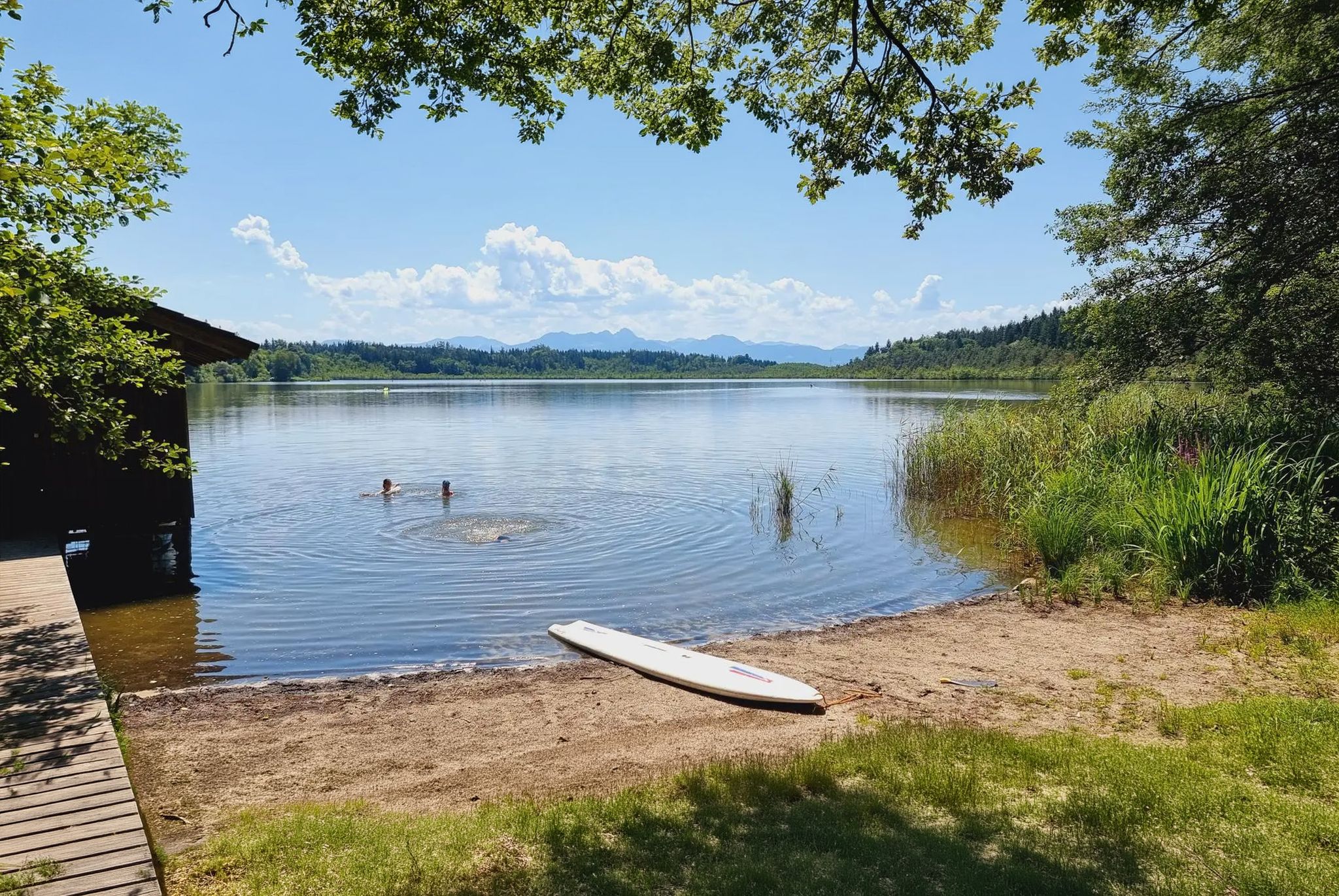
Absolutely! Many routes offer scenic views. You can find viewpoints such as View from Irschenberg or the View of Ramerberg, the River Inn, and the Alps. The area also features historic sites like Maxlrain Castle and natural attractions like Steinsee (Lake Stein), which are often accessible or visible from nearby trails.
Can I bring my dog on the running trails in Tuntenhausen?
Many outdoor areas in Tuntenhausen are dog-friendly, especially the extensive forest paths and riverside trails. However, it's always recommended to keep your dog on a leash, particularly in nature protection areas or near agricultural land, and to respect local signage regarding dog access.
Are there circular running routes available in the area?
Yes, many of the running routes in Tuntenhausen are designed as circular loops, offering convenient starts and finishes. For instance, the Running loop from Ostermünchen is a popular moderate circular trail, and the Forest Trail loop from Ostermünchen provides a longer forest experience.
Where can I park my car when accessing the running trails?
Parking is generally available near popular trailheads and villages like Ostermünchen, Maxlrain, or Dettendorf. Look for designated parking areas near public facilities or local attractions such as the Maxlrain Brewpub or the Wallfahrtsbasilika Maria Himmelfahrt Tuntenhausen. Always check local signs for parking regulations.
What is the best time of year for jogging in Tuntenhausen?
Tuntenhausen is beautiful year-round for jogging. Spring and autumn offer pleasant temperatures and vibrant scenery. Summer is ideal for early morning or late evening runs to avoid the midday heat, especially along shaded forest paths or near the cool waters of the Mangfall. Winter can also be magical, with well-maintained paths often cleared for use.
Are there places to eat or drink near the running routes?
Yes, you'll find various options for refreshments. Maxlrain, for example, features a historic castle with a brewpub and beer gardens. Villages like Tuntenhausen and Ostermünchen also offer cafes, restaurants, and traditional Gasthofs where you can refuel after your run.
What do other runners say about the routes in Tuntenhausen?
The running routes in Tuntenhausen are highly regarded by the komoot community, with an impressive average rating of 4.5 stars from over 40 reviews. Runners often praise the varied terrain, the tranquility of the riverside paths, and the well-maintained forest trails that make for an enjoyable experience.
Are there longer distance running options for experienced runners?
Yes, for those seeking longer distances, Tuntenhausen offers several routes over 10 km. The Running loop from Biberg is a moderate 11.1 km (6.9 miles) trail, and the Bench with a view of the pond loop from Dettendorf covers 11.9 km (7.4 miles), providing a good challenge.
Can I access the running trails using public transport?
Public transport options are available, particularly connecting to larger towns like Ostermünchen, which serves as a starting point for several routes. From there, many trailheads are within walking distance. It's advisable to check local bus schedules for specific access points to the more rural trails.
Are there any routes that follow rivers or lakes?
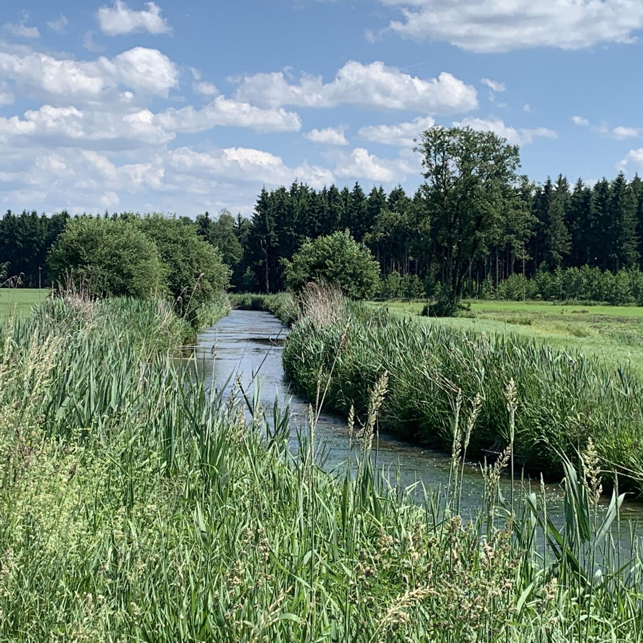
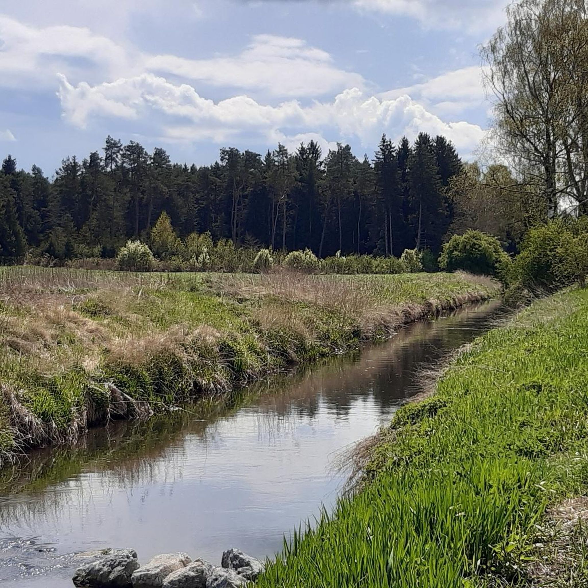
Absolutely. The region is known for its beautiful waterways. Many routes run alongside the beautifully restored Mangfall River, offering idyllic fine gravel paths. The Inn River also features well-maintained paths suitable for jogging. Additionally, the area around Steinsee (Lake Stein) provides lovely surroundings for outdoor excursions.
Most popular routes around Tuntenhausen
Most popular attractions around Tuntenhausen

Get inspired with the komoot mobile app


Explore more
Browse the best Running Trails & Routes in other regions.
