The best hikes from bus stations around Tuntenhausen
4.4
(5573)
30,872
hikers
73
hikes
Bus station hiking trails around Tuntenhausen offer diverse and picturesque landscapes in the Rosenheim district of Germany. The region is characterized by rolling hills and scenic valleys, situated between the Inn and Mangfall valleys. Hikers can explore extensive forests and hilly terrain, with the Steinsee (Lake Stein) providing a notable natural feature. The area provides numerous opportunities for walks and hikes accessible by public transport.
Best bus station hiking trails around Tuntenhausen
- The most popular bus station hiking route is…
Last updated: October 14, 2026
4.5
(20)
91
hikers
10.9km
02:51
70m
70m
Moderate hike. Good fitness required. Easily-accessible paths. Suitable for all skill levels.
4.1
(7)
31
hikers
12.6km
03:15
70m
60m
Moderate hike. Good fitness required. Easily-accessible paths. Suitable for all skill levels.

4.0
(6)
32
hikers
9.04km
02:18
30m
30m
Moderate hike. Good fitness required. Easily-accessible paths. Suitable for all skill levels.
4.6
(24)
102
hikers
11.0km
02:54
90m
90m
Moderate hike. Good fitness required. Easily-accessible paths. Suitable for all skill levels.
3.8
(8)
19
hikers
11.1km
02:57
110m
110m
Moderate hike. Good fitness required. Easily-accessible paths. Suitable for all skill levels.
Get access to more routes and recommendations from other explorers.
Already have an account?
Our route recommendations are based on thousands of hikes, rides, and runs completed by other people on komoot.
Start today with a free account
Your next adventure awaits.
Popular around Tuntenhausen
Other adventures around Tuntenhausen

Tips from the Community

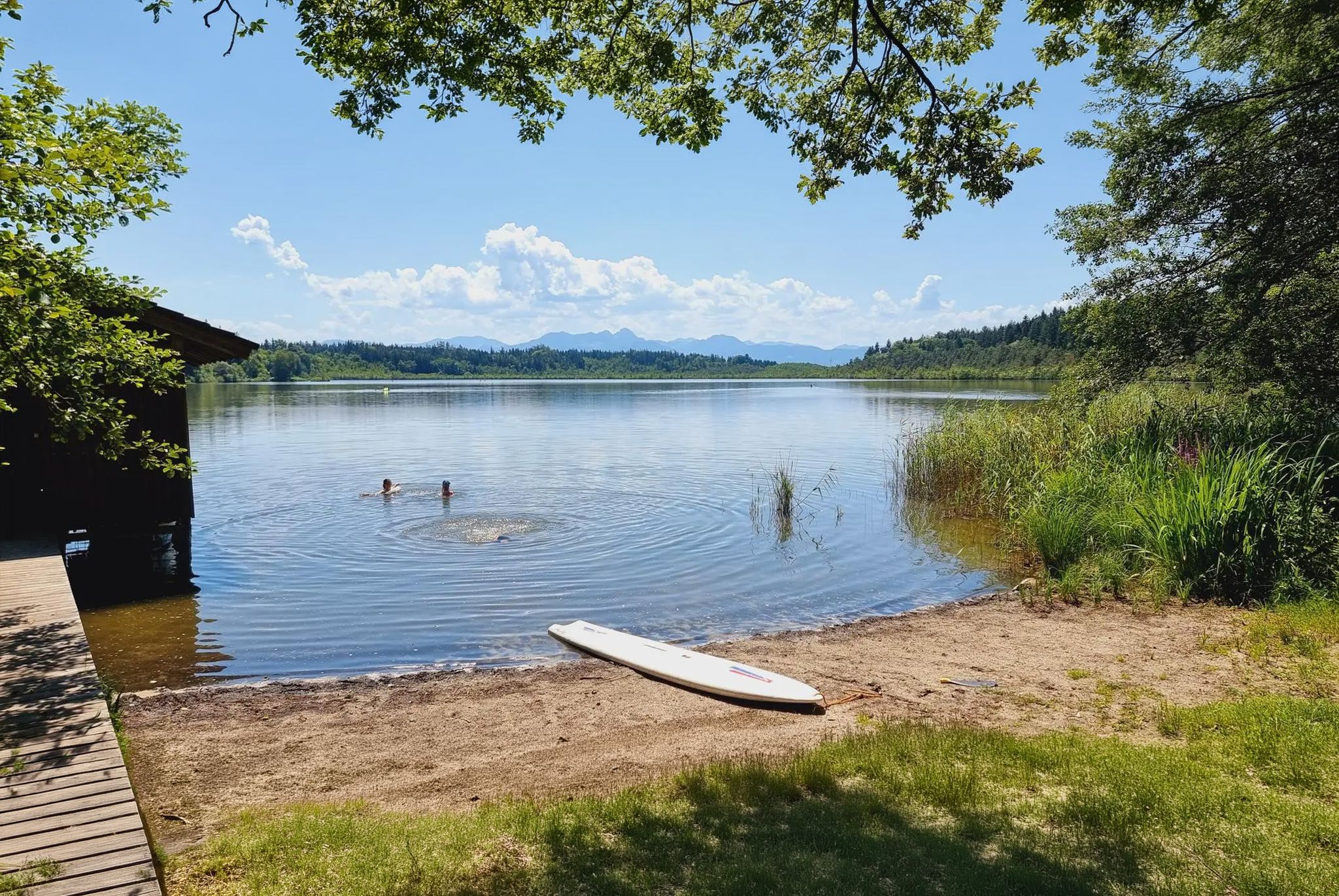
Quiet and beautiful view by the lake
0
0
Always worth a visit, even though the visibility needs to be clear for a mountain view
0
0

A very beautiful castle right next to the Bräustüberl.
1
0

You can stop along the way; there are benches to sit on.
0
0


Nice place to rest with several benches and shady spots
0
0

beautiful village church with well-kept cemetery
0
0

Frequently Asked Questions
How many bus station hiking trails are available around Tuntenhausen?
There are nearly 70 hiking trails accessible from bus stations around Tuntenhausen. These routes cater to various preferences, with 43 easy and 28 moderate options, ensuring there's something for every hiker.
What kind of terrain can I expect on bus station hikes in Tuntenhausen?
The terrain around Tuntenhausen is diverse, featuring rolling hills, scenic valleys, and extensive forests. You'll find paths winding through picturesque landscapes, often following rivers like the Mangfall, and offering gentle elevation changes suitable for a pleasant walk.
Are there any circular routes accessible from bus stops in Tuntenhausen?
Yes, many routes are designed as circular walks, allowing you to return to your starting bus stop. For example, the Maxlrain Brewpub – Maxlrain Castle loop from Beyharting is a moderate circular hike, and the Maxlrain Brewpub loop from Maxlrain offers an easier, shorter option.
What are some interesting landmarks or natural features to see along these bus station trails?
You can discover a variety of points of interest. The Maxlrain area features the historic Maxlrain Castle and its brewery. Along the Mangfall River, you'll find idyllic spots with small weirs. For natural beauty, consider visiting the Spiegelbächl Waterfall or the Kupfergraben Gorge. There are also viewpoints like the View from Irschenberg offering panoramic vistas.
Are there family-friendly hiking options from bus stations in Tuntenhausen?
Absolutely. Many of the 43 easy routes are suitable for families. The region's gentle hills and well-maintained paths make for enjoyable outings. Shorter loops, such as the Maxlrain Brewpub loop from Maxlrain, are great for a relaxed family walk.
Can I bring my dog on hikes accessible by bus in Tuntenhausen?
Generally, dogs are welcome on hiking trails in the Tuntenhausen region. It's always recommended to keep your dog on a leash, especially near livestock or in nature protection areas, and to carry waste bags. The natural paths and forests provide a great environment for walks with your canine companion.
What is the best time of year for hiking from bus stations in Tuntenhausen?
Spring and autumn are considered the best seasons for outdoor activities in Tuntenhausen due to the mild and pleasant weather. The vibrant colors of spring blossoms or autumn foliage add to the scenic beauty of the trails.
Are there any routes that follow rivers or have water features?
Yes, the region is characterized by its rivers. The Mangfall River Path is particularly scenic, featuring small weirs and spots suitable for swimming. The Inn River also has paths running along its course, offering pleasant waterside walks. You might also encounter waterfalls like the Kleinhöhenrain Waterfall and Pond.
What do other hikers enjoy most about hiking in Tuntenhausen?
The area is highly rated by the komoot community, with an average score of 4.5 stars from over 4,800 ratings. Reviewers often praise the picturesque landscapes, the variety of trails for different skill levels, and the accessibility of routes from public transport, making it easy to explore the region's natural beauty.
Are there any pilgrim routes that can be accessed from bus stations?
Tuntenhausen is indeed part of significant pilgrimage routes, including stages of the Jakobsweg (Way of St. James) and the Marienwege M5. While specific bus station access points for these long-distance routes would vary, the general area offers a unique blend of nature and spirituality for those interested in pilgrim walks.
Are there any easy, short hikes from bus stops for beginners?
Yes, there are plenty of easy options perfect for beginners or those looking for a shorter stroll. The Maxlrain Brewpub loop from Maxlrain is an easy 3 km route, ideal for a relaxed introduction to hiking in the area.
Most popular routes around Tuntenhausen
Most popular attractions around Tuntenhausen

Get inspired with the komoot mobile app


Explore more
Browse the best Hikes in other regions.
