The best mountain hikes around Fischen im Allgäu
4.8
(2666)
16,511
hikers
405
hikes
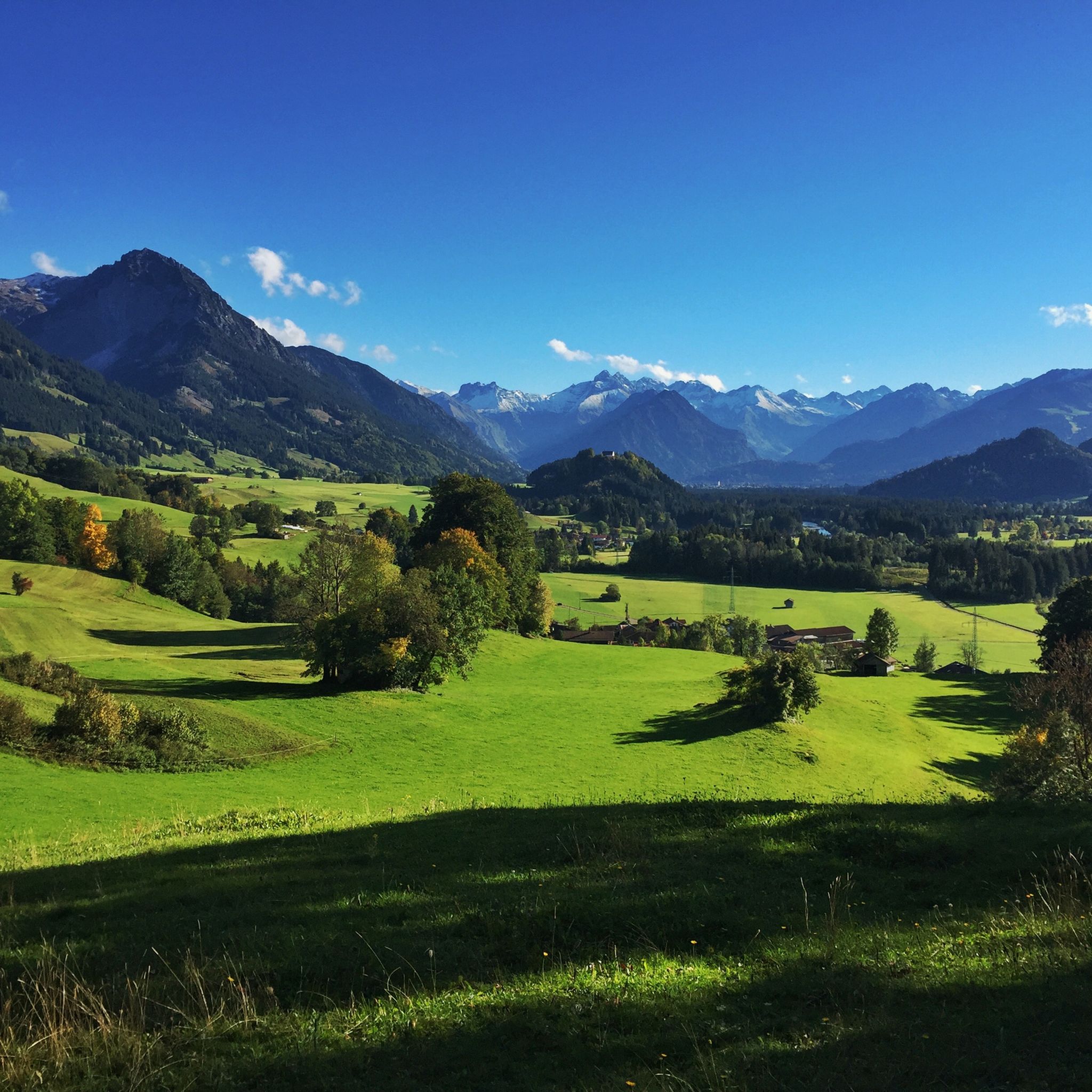
Mountaineering routes around Fischen im Allgäu are situated within the Oberallgäu region, characterized by its alpine landscape. The area features prominent peaks, deep valleys, and a mix of forested slopes and open mountain terrain. Elevations provide varied challenges, with many routes leading to summits offering expansive views.
Best mountaineering routes around Fischen im Allgäu
- The most popular mountaineering route is Lower Gaisalp Lake – Rubihorn Summit loop from Allgäu Alps, a 9.3 miles (15.0 km) difficult trail that takes…
Last updated: October 12, 2026
4.8
(99)
317
hikers
15.4km
07:11
1,230m
1,230m
Hard mountaineering route. Very good fitness required. Sure-footedness, sturdy shoes and alpine experience required.
4.9
(133)
745
hikers
16.6km
07:20
1,130m
1,130m
Hard mountaineering route. Very good fitness required. Sure-footedness, sturdy shoes and alpine experience required.

4.9
(99)
507
hikers
15.3km
07:51
1,320m
1,320m
Hard mountaineering route. Very good fitness required. Sure-footedness, sturdy shoes and alpine experience required.
4.9
(7)
44
hikers
14.7km
06:07
900m
900m
Hard mountaineering route. Very good fitness required. Mostly accessible paths. Sure-footedness required.
4.8
(6)
54
hikers
11.3km
05:22
940m
940m
Hard mountaineering route. Very good fitness required. Mostly accessible paths. Sure-footedness required.
Get access to more routes and recommendations from other explorers.
Already have an account?
Our route recommendations are based on thousands of hikes, rides, and runs completed by other people on komoot.
Start today with a free account
Your next adventure awaits.
Popular around Fischen im Allgäu
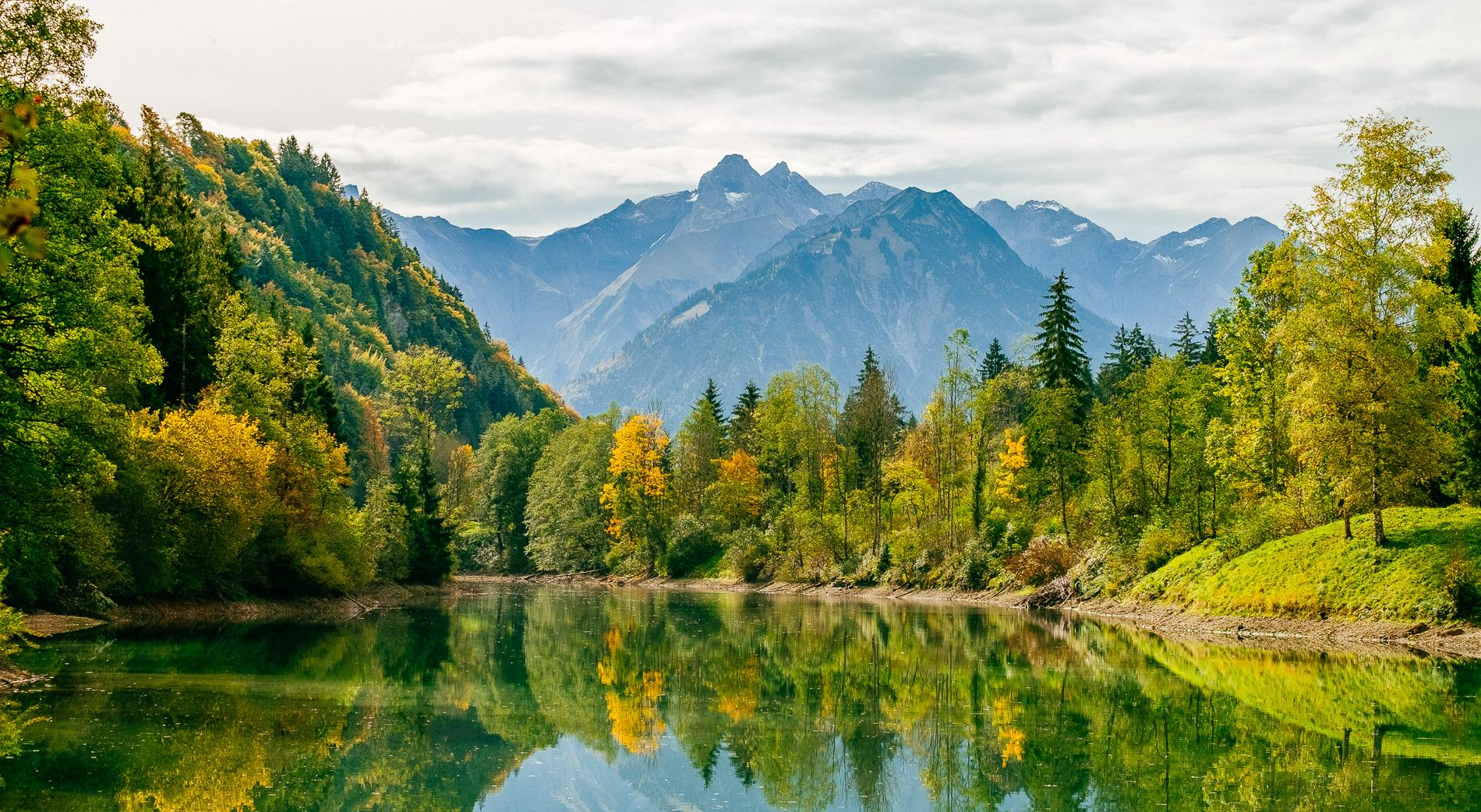
Golden Allgäu – autumn hiking in the Hörner villages
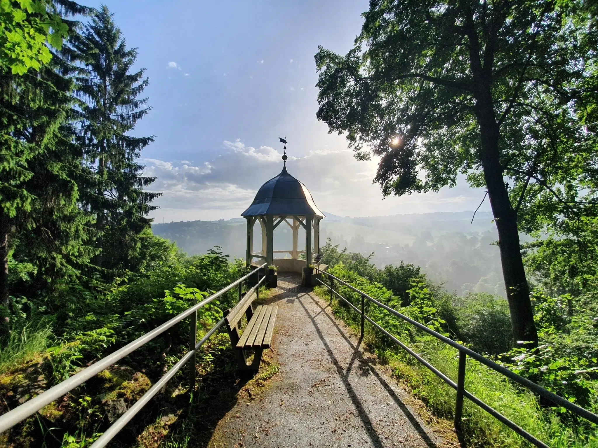
#GoFurther – discover the views of Germany!
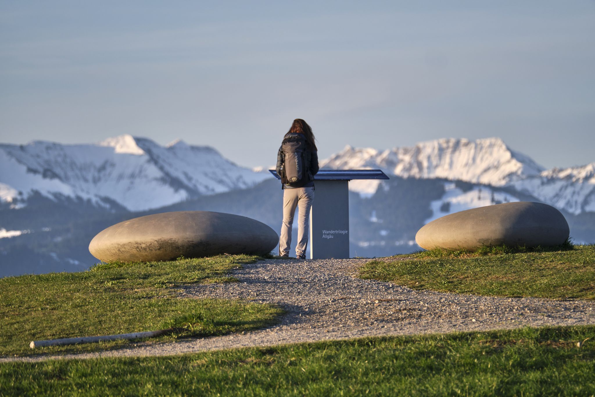
Experience history – hike the Trilogy Tours in Allgäu
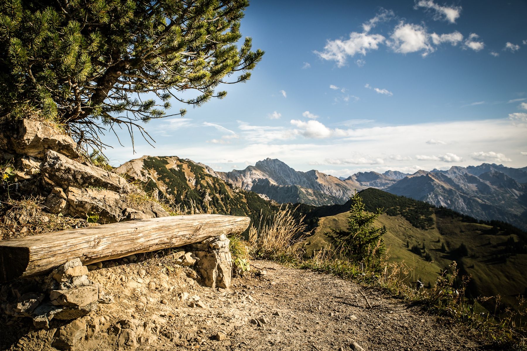
Climbing Alpine peaks on the Route to the Top – Allgäu hiking trilogy
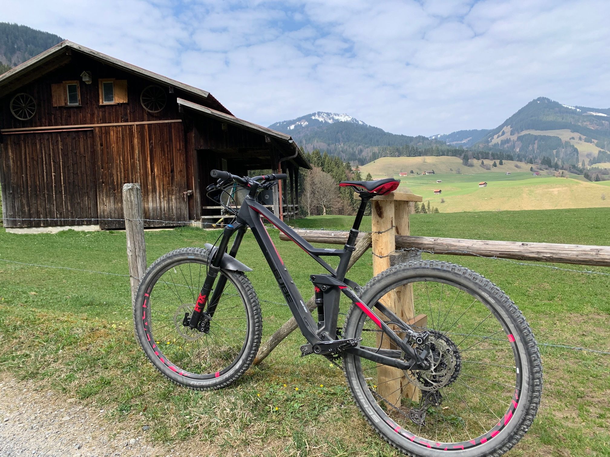
Hörnerdörfer - Radtouren
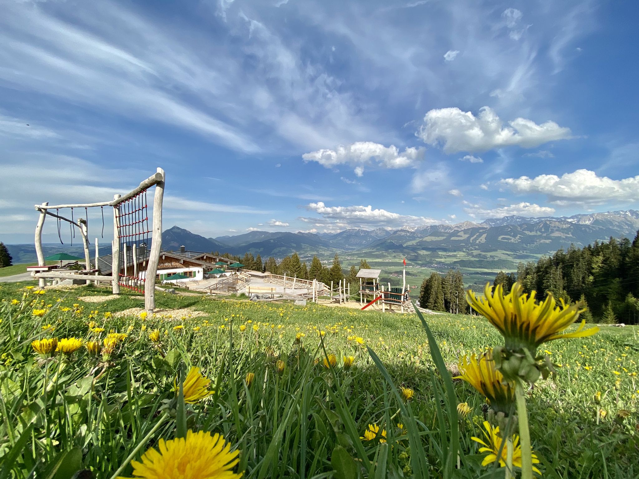
Hörnerdörfer - Themenwege
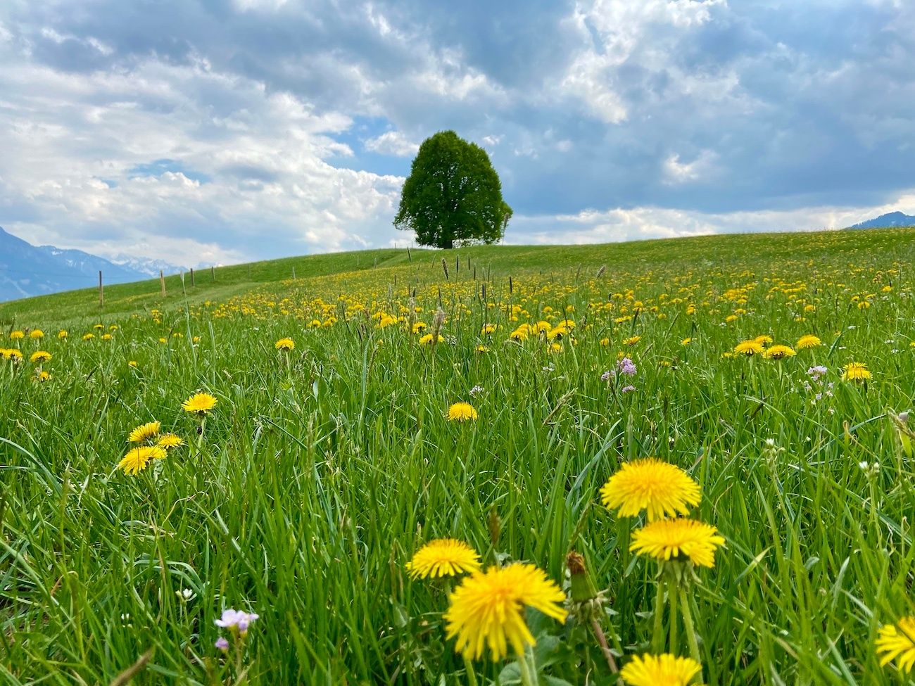
Hörnerdörfer - Idyllische Talwanderungen
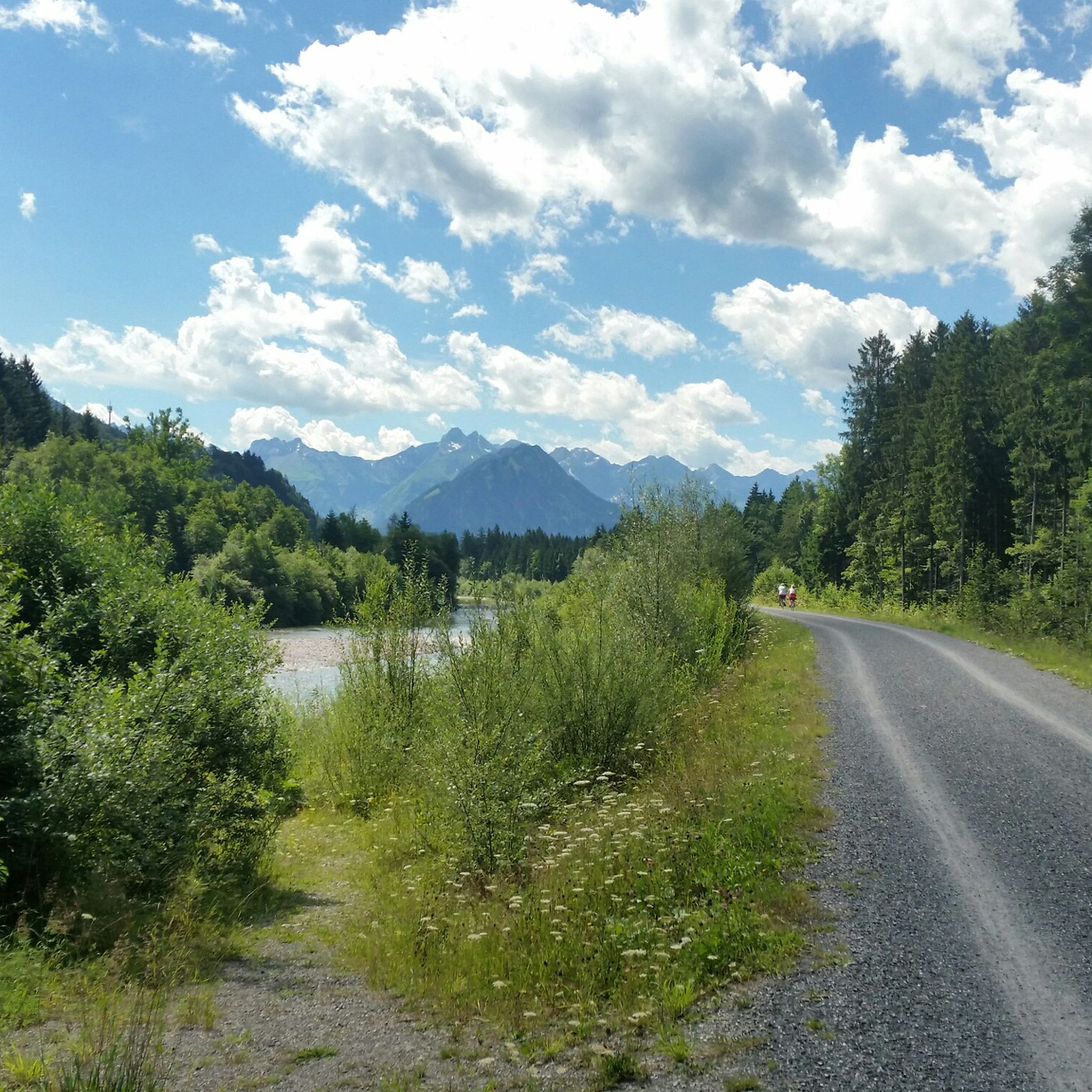
Cycling around Fischen im Allgäu
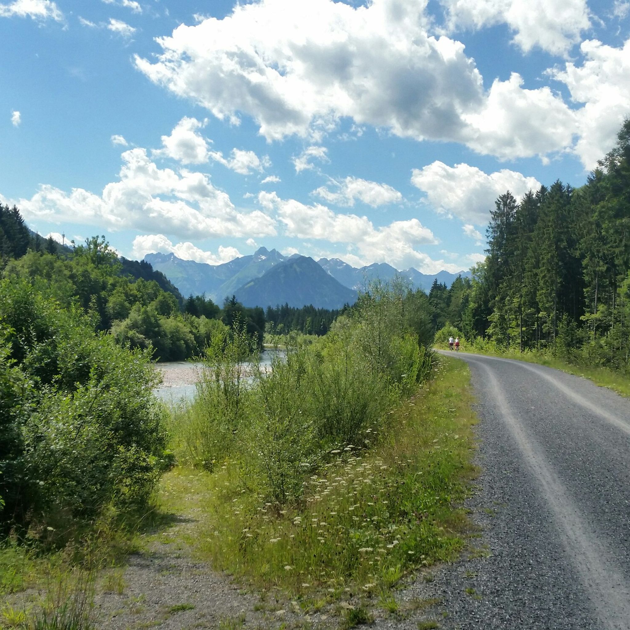
Hiking around Fischen im Allgäu
MTB Trails around Fischen im Allgäu
Other adventures around Fischen im Allgäu


Tips from the Community

Here it goes down again to Oberstdorf
0
0
Easy scrambling before the summit ⛰️🥾😎
0
0
You should like light scrambling, then the path is no problem
1
0

Great view of the surrounding mountains.
0
0
Frequently Asked Questions
How many mountaineering routes are available around Fischen im Allgäu?
There are over 400 mountaineering routes in the Fischen im Allgäu area, offering a wide range of options for different skill levels. You'll find everything from moderate ascents to challenging high-alpine tours.
Are there any easy mountaineering routes suitable for beginners?
Yes, Fischen im Allgäu offers around 18 easy mountaineering routes. These paths typically involve less elevation gain and are shorter in distance, making them ideal for those new to mountaineering or looking for a more relaxed experience.
What are some challenging routes for experienced mountaineers?
For experienced mountaineers, the region boasts over 220 difficult routes. A notable challenging option is the Sonderdorfer Cross – Weiherkopf summit cross loop from Bolsterlang, which covers nearly 15 km with significant elevation changes. Another demanding tour is the Sonnenkopf Summit Cross – Schnippenkopf Summit loop from Allgäu Alps, offering a rigorous alpine experience.
Can I find circular mountaineering routes in Fischen im Allgäu?
Absolutely. Many of the mountaineering routes in Fischen im Allgäu are designed as circular loops, allowing you to start and end at the same point. Examples include the popular Lower Gaisalp Lake – Rubihorn Summit loop from Allgäu Alps and the Entschenkopf (2,043 m) – Lower Gaisalp Lake loop from Allgäu Alps.
Are there any family-friendly mountaineering options?
While many mountaineering routes are demanding, some of the easier paths can be suitable for families with older children who are accustomed to hiking. Look for routes with lower difficulty ratings and shorter distances. Always check the route details for specific elevation gain and terrain before heading out with children.
Are dogs allowed on the mountaineering routes?
Generally, dogs are welcome on most mountaineering routes in the Fischen im Allgäu region, provided they are kept on a leash, especially in areas with livestock or wildlife. However, some specific trails or protected areas might have restrictions, so it's always best to check local signage or specific route information beforehand.
What are the best times of year for mountaineering in Fischen im Allgäu?
The prime season for mountaineering in Fischen im Allgäu is typically from late spring (May/June) through early autumn (September/October). During these months, trails are generally free of snow, and weather conditions are more stable. Always check the local weather forecast and trail conditions before your tour, as alpine weather can change rapidly.
Are there any routes with scenic viewpoints or panoramic views?
Many mountaineering routes in Fischen im Allgäu lead to summits and ridges offering spectacular panoramic views of the Allgäu Alps. Routes like the Lower Gaisalp Lake – Rubihorn Summit loop from Allgäu Alps are renowned for their expansive vistas from the Rubihorn summit.
What natural attractions can I see along the mountaineering routes?
The region is rich in natural beauty. Many routes pass by stunning lakes such as Lower Gaisalp Lake and Freibergsee. You might also encounter impressive waterfalls like the View of the Gaisalpsee waterfall or the Hinanger Waterfall, often nestled within picturesque gorges such as the Breitach Gorge.
What do other mountaineers enjoy most about Fischen im Allgäu?
The mountaineering routes in Fischen im Allgäu are highly rated by the komoot community, with an average score of 4.8 stars from over 2,400 reviews. Mountaineers often praise the diverse alpine landscapes, the challenging ascents to prominent peaks, and the rewarding views, particularly highlighting the pristine mountain lakes and well-maintained trails.
Are there options for winter mountaineering?
While many routes become challenging or inaccessible due to snow and ice, Fischen im Allgäu does offer possibilities for winter mountaineering, often requiring specialized equipment like snowshoes or crampons. It's crucial to have experience with winter alpine conditions, check avalanche warnings, and consult local guides or information centers for safe routes during the colder months.
Where can I find parking for mountaineering routes?
Many trailheads for mountaineering routes around Fischen im Allgäu have designated parking areas, often for a fee. Popular starting points like those near Langenwang or Bolsterlang typically offer parking facilities. It's advisable to check specific route descriptions for parking information and arrive early, especially during peak season, as spaces can fill up quickly.
Most popular routes around Fischen im Allgäu
Most popular attractions around Fischen im Allgäu

Get inspired with the komoot mobile app


Explore more
Browse the best Mountain Hikes & Routes in other regions.
