The best mountain hikes in Danube-Ries
4.2
(88)
362
hikers
9
hikes
Mountaineering routes in Danube-Ries traverse a landscape shaped by the Ries impact crater, featuring a mix of rolling hills, dense woodlands, and distinctive limestone formations. The region's geology provides varied terrain, including rocky outcrops and scenic valleys. These routes often follow paths through forests and along elevated sections, offering views of the surrounding natural environment.
Best mountaineering routes in Danube-Ries
- The most popular mountaineering route is Dohlenfelsen – Rock Window loop from Wellheim, a 4.3 miles (6.9 km) trail…
Last updated: August 25, 2026
4.4
(36)
147
hikers
6.86km
02:21
180m
170m
Hard mountaineering route. Good fitness required. Sure-footedness, sturdy shoes and alpine experience required.
4.4
(34)
126
hikers
6.89km
02:20
170m
170m
Hard mountaineering route. Good fitness required. Sure-footedness, sturdy shoes and alpine experience required.

Sign up for free
5.0
(2)
13
hikers
6.71km
02:08
90m
100m
Hard mountaineering route. Good fitness required. Sure-footedness, sturdy shoes and alpine experience required.
3.0
(2)
9
hikers
2.26km
00:50
80m
80m
Hard mountaineering route. Great for any fitness level. Sure-footedness, sturdy shoes and alpine experience required.
3.0
(1)
2
hikers
3.04km
00:57
60m
60m
Hard mountaineering route. Great for any fitness level. Sure-footedness, sturdy shoes and alpine experience required.
Get access to more routes and recommendations from other explorers.
Sign up for free
Already have an account?
Our route recommendations are based on thousands of hikes, rides, and runs completed by other people on komoot.
Start today with a free account
Your next adventure awaits.
Login or Signup
Popular around Danube-Ries
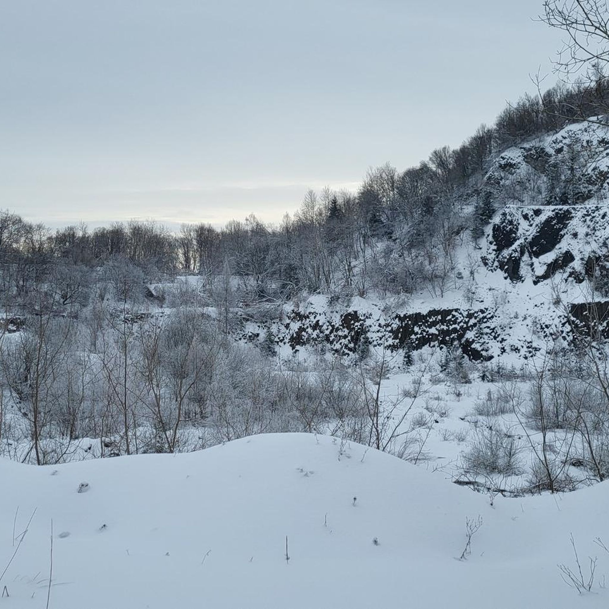
Mountain Hikes around Tagmersheim
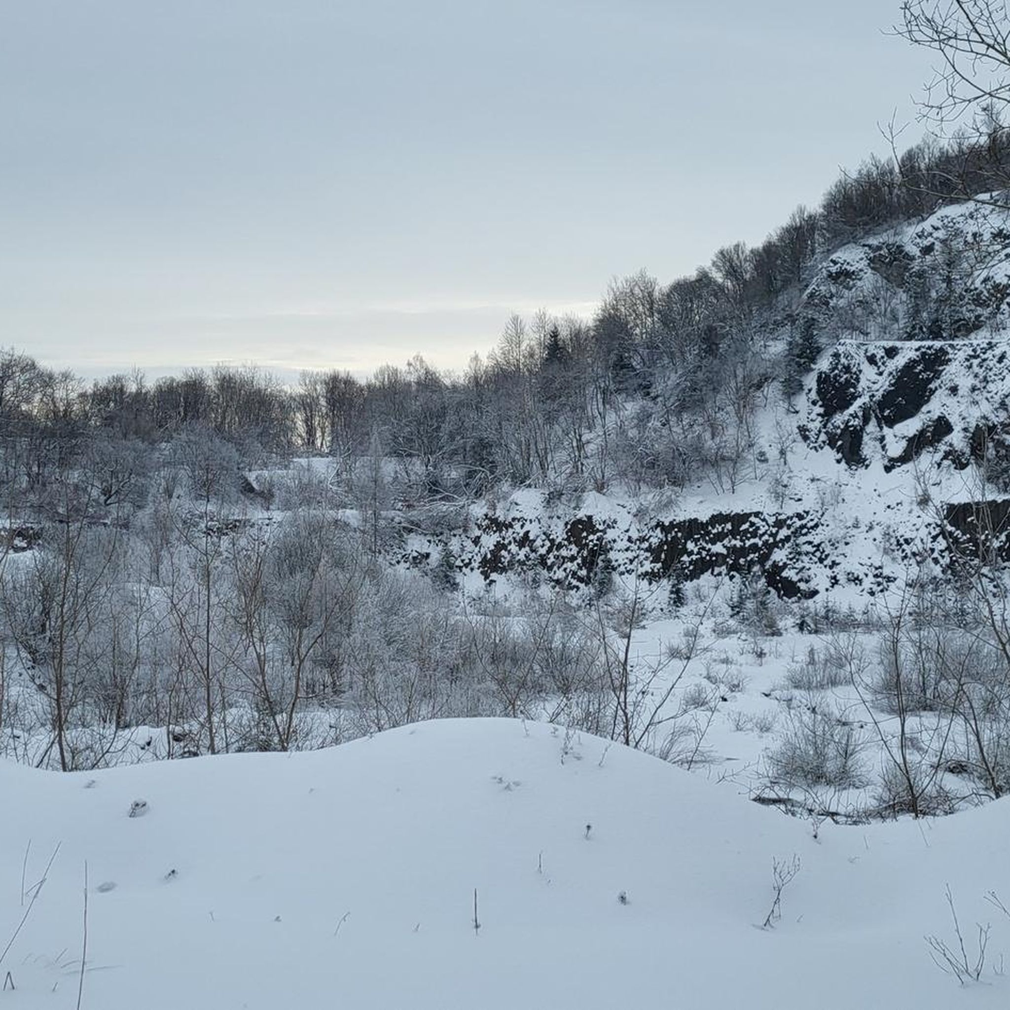
Mountain Hikes around Rögling

Augsburger Jakobsweg – Through Bavarian-Swabia

The Romantic Road – To the Pearls of Southern Germany

Gravel bikepacking from Hamburg to Munich
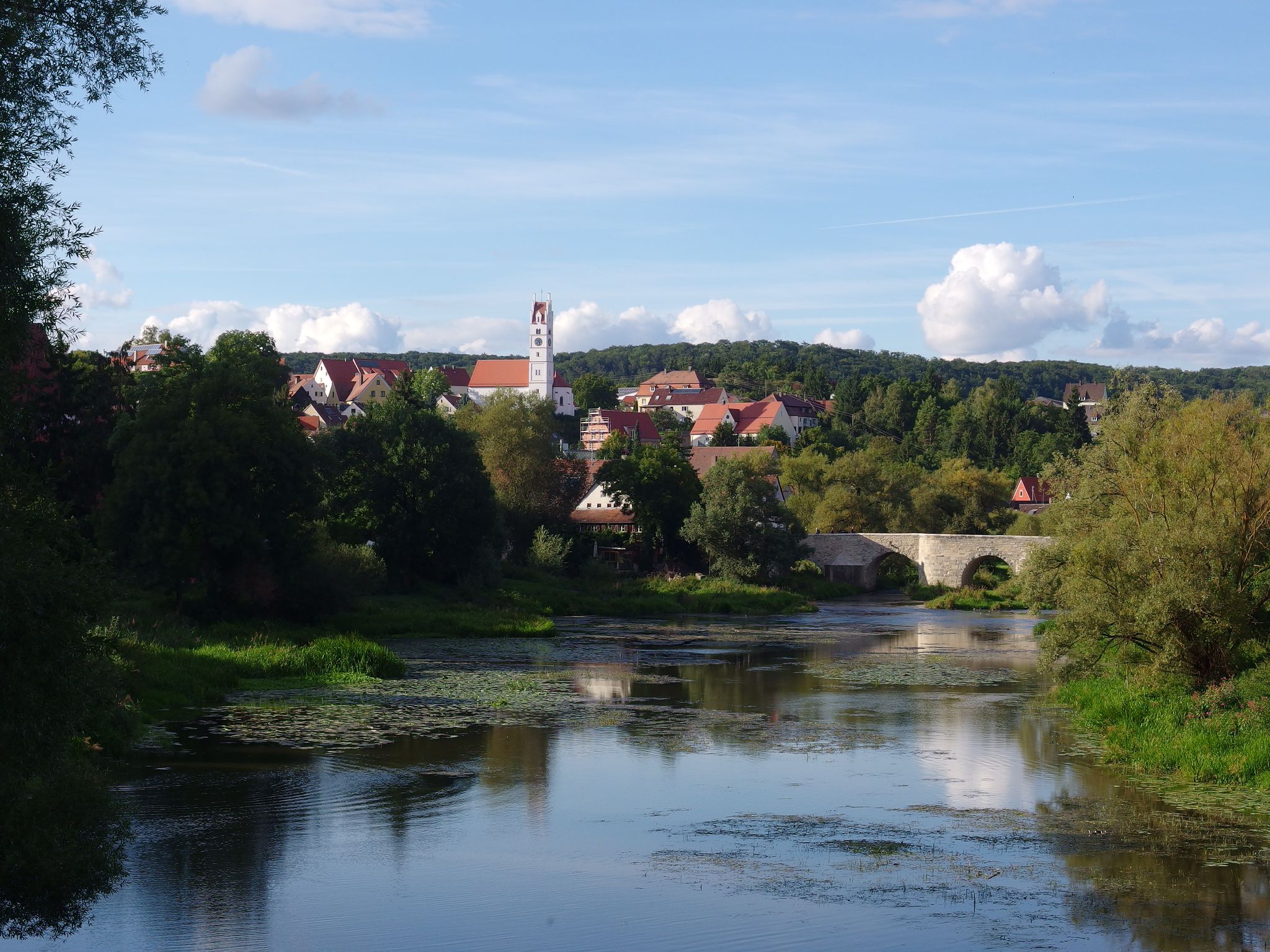
The Romantic Road – 10 fabulous stages
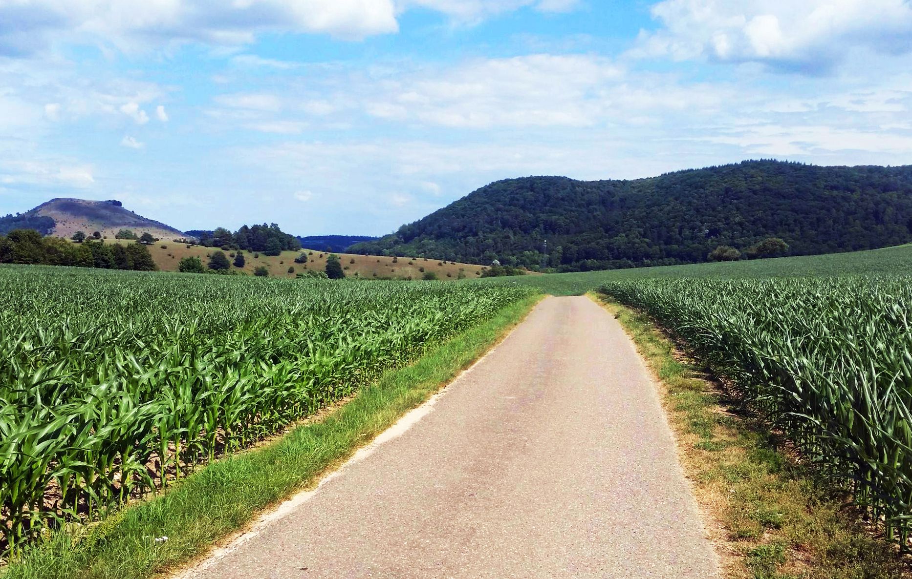
From Crater to Crater — 4 stages in the Geopark Ries and across the Swabian Alb
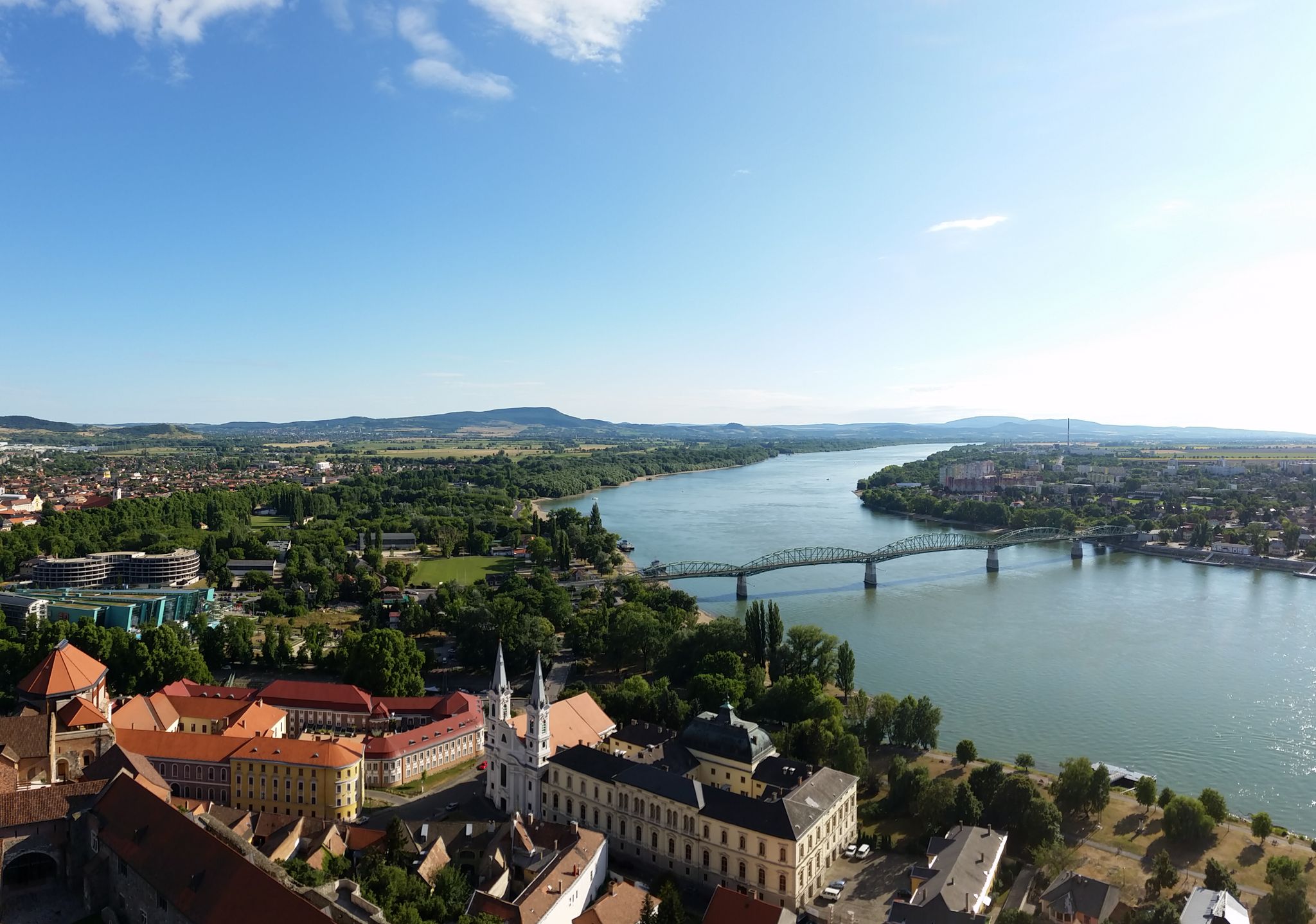
The Danube Cycle Path – From Donaueschingen to Budapest
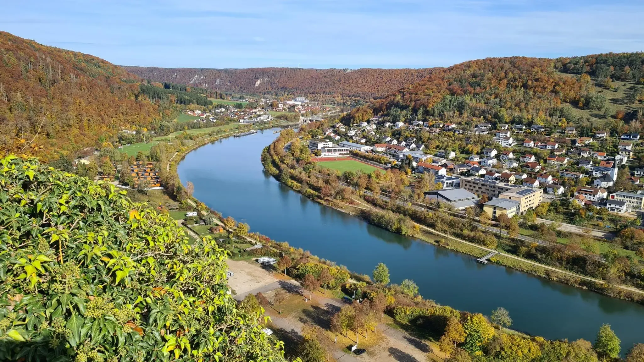
Golden trails – autumn hiking in Altmühltal
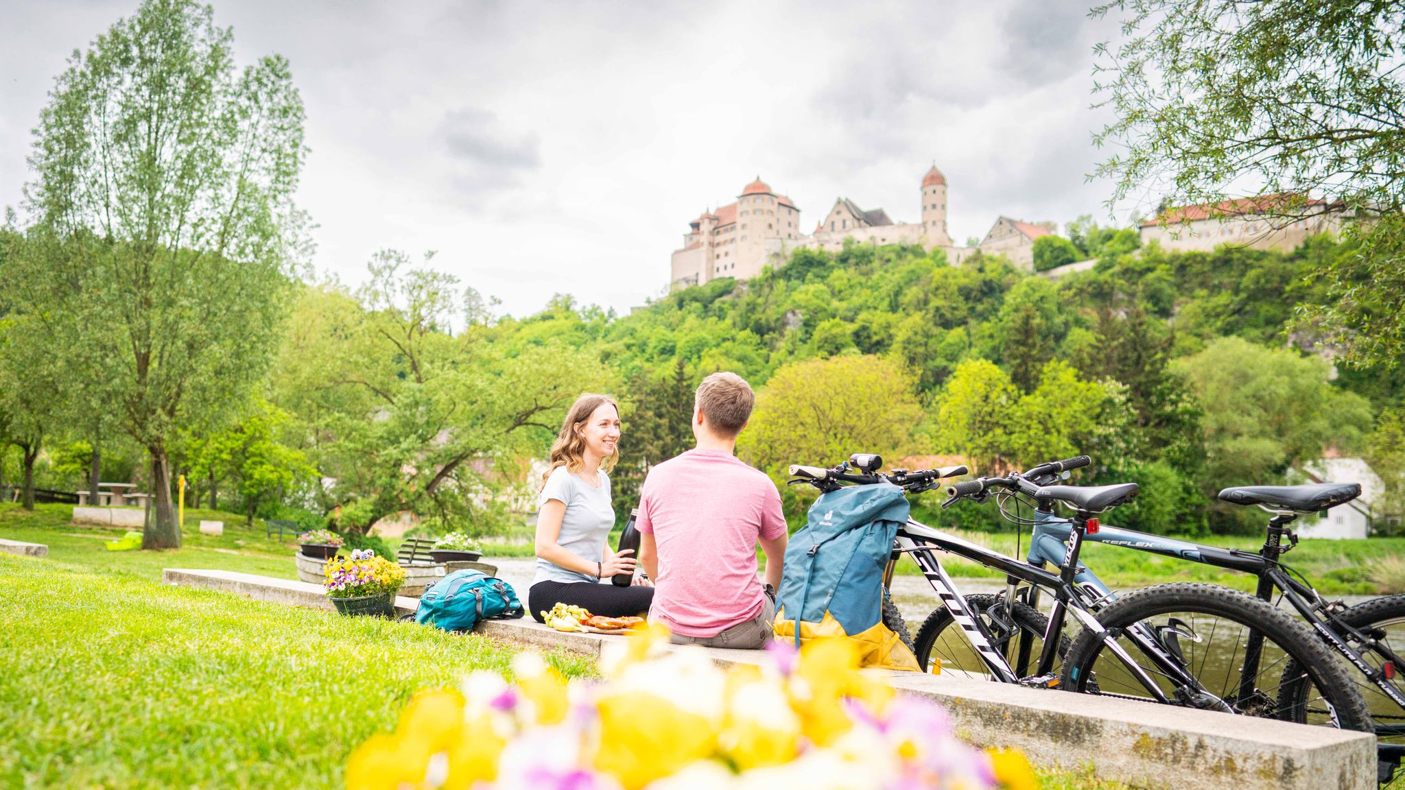
Cycle back in time in the Donau-Ries region
Other adventures in Danube-Ries


Tips from the Community

You have a view of the Wellheim dry valley all the way to the castle ruins
0
0
Challenging path with magnificent views into the valley
0
0
Beautiful sculpture carved from a tree trunk
0
0
Beautiful, flat forest path, which leads you back to the parking lot after walking the Jägersteig.
0
0
In several places, there are very beautiful views of the Wellheimer Trockental.
0
0
Wonderful path, which however requires a certain degree of sure-footedness, a head for heights and, above all, good footwear.
0
0
Very nice trail guidance. However, you should be sure-footed and pay attention that the ground / stones are slippery in wet / damp weather.
0
0

Sufficient parking spaces available, free of charge with a view of the rocks.
7
0
Frequently Asked Questions
How many mountaineering routes are available in Danube-Ries?
There are 10 distinct mountaineering routes in the Danube-Ries region, offering a variety of experiences across its unique landscape.
Are there any mountaineering routes suitable for beginners or those seeking a moderate challenge in Danube-Ries?
While most mountaineering routes in Danube-Ries are rated as difficult, there is one moderate route available. This allows for a less strenuous option while still enjoying the region's distinctive geology.
What kind of terrain can I expect on mountaineering routes in Danube-Ries?
Mountaineering routes in Danube-Ries traverse a landscape shaped by the Ries impact crater. You can expect a mix of rolling hills, dense woodlands, and distinctive limestone formations, including rocky outcrops and scenic valleys. Paths often lead through forests and along elevated sections.
Are there any circular mountaineering routes in Danube-Ries?
Yes, many routes in Danube-Ries are circular, allowing you to start and end at the same point. For example, the Dohlenfelsen – Rock Window loop from Wellheim is a popular circular option, as is the View from Dohlenfelsen – Dohlenfelsen loop from Konstein.
What do other mountaineers enjoy most about the routes in Danube-Ries?
The mountaineering routes in Danube-Ries are highly rated by the komoot community, with an average score of 4.4 stars. Reviewers often praise the varied terrain, the unique geological features from the Ries crater, and the scenic views from elevated sections.
Are there any interesting landmarks or natural attractions along the mountaineering routes?
Yes, the region offers several natural attractions. You might encounter impressive gorges such as the Gailach Dry Valley or the Liederberger Valley. These geological formations add to the unique character of the landscape.
Are there places to stop for refreshments or shelter along the trails?
Yes, there are several huts and taverns in the Danube-Ries region that can serve as refreshment stops or shelters. You might find places like the Eisbrunn Forest Tavern or various shelters such as the Shelter by the Pond on Edelweißweg.
What is the longest mountaineering route in Danube-Ries?
The longest mountaineering route currently listed is the Burgstein Chapel – Rock Window loop from Wellheim, which spans approximately 11.6 miles (18.7 km) and typically takes around 5 hours 28 minutes to complete.
Is it possible to find shorter mountaineering routes for a quick outing?
Absolutely. If you're looking for a shorter mountaineering experience, consider the Dohlenfelsen – View from Dohlenfelsen loop from Wellheim. This route is about 1.4 miles (2.3 km) long and can be completed in approximately 50 minutes, offering a condensed experience of the region's features.
What is the best time of year for mountaineering in Danube-Ries?
The Danube-Ries region is generally enjoyable for mountaineering from spring through autumn. The mild weather during these seasons makes for pleasant hiking conditions, allowing you to fully appreciate the forested sections and elevated views without the challenges of winter conditions.
Are there any routes that offer particularly good views?
Many routes offer elevated views of the surrounding landscape. The Dohlenfelsen – View from Dohlenfelsen loop from Konstein is known for its scenic sections that provide expansive vistas over the region's unique geological formations and woodlands.
Can I expect to see any unique geological features on these routes?
Yes, the entire Danube-Ries region is defined by the Ries impact crater, so you'll frequently encounter distinctive limestone formations, rocky outcrops, and varied geological features that are a direct result of this ancient event. Routes like the Rock Window loop from Wellheim highlight these unique characteristics.
Most popular routes in Danube-Ries
Most popular attractions in Danube-Ries

Get inspired with the komoot mobile app


Didn’t find what you were looking for?
Check out more Mountain Hikes & Routes throughout Danube-Ries below and find the perfect route in your destination.
Explore more
Browse the best Mountain Hikes & Routes in other regions.
