The best running trails around Bischofsheim an der Rhön
4.4
(75)
728
runners
96
runs
Jogging around Bischofsheim an der Rhön offers diverse terrain within the Rhön Biosphere Reserve. The region is characterized by rolling hills, dense forests, and open plateaus, providing varied running experiences. Trails often feature moderate ascents and descents, leading through natural landscapes with occasional scenic viewpoints. This area is suitable for runners seeking both challenging climbs and more relaxed paths through rural settings.
Best jogging routes around Bischofsheim an der Rhön
- The most popular jogging route is Himmeldunkberg summit – View…
Last updated: October 19, 2026
5.0
(2)
35
runners
9.41km
01:10
310m
310m
Hard run. Very good fitness required. Sure-footedness, sturdy shoes and alpine experience required.
4.0
(2)
24
runners
Hard run. Very good fitness required. Mostly paved surfaces. Suitable for all skill levels.

22
runners
Moderate run. Good fitness required. Mostly paved surfaces. Suitable for all skill levels.
4.0
(3)
21
runners
4.92km
00:31
40m
40m
Easy run. Great for any fitness level. Mostly paved surfaces. Suitable for all skill levels.
5.0
(1)
21
runners
Hard run. Very good fitness required. Mostly paved surfaces. Suitable for all skill levels.
Get access to more routes and recommendations from other explorers.
Already have an account?
Our route recommendations are based on thousands of hikes, rides, and runs completed by other people on komoot.
Start today with a free account
Your next adventure awaits.
Popular around Bischofsheim an der Rhön
Gravel bikepacking from Hamburg to Munich
Rhön Cycleway in Germany – Cycling in the Land of Open Distances

Stages of the HOCHRHÖNER Premium Hiking Trail

Extra tours South - Excellent premium hiking trails of the Rhön

Wonderful Green Band

Hike Germany’s Rhön Mountains on the Hochrhöner Trail
Between Altmühltal & Spruce Mountains – hiking in Franconia
Flow Rider — trail fun for everyone
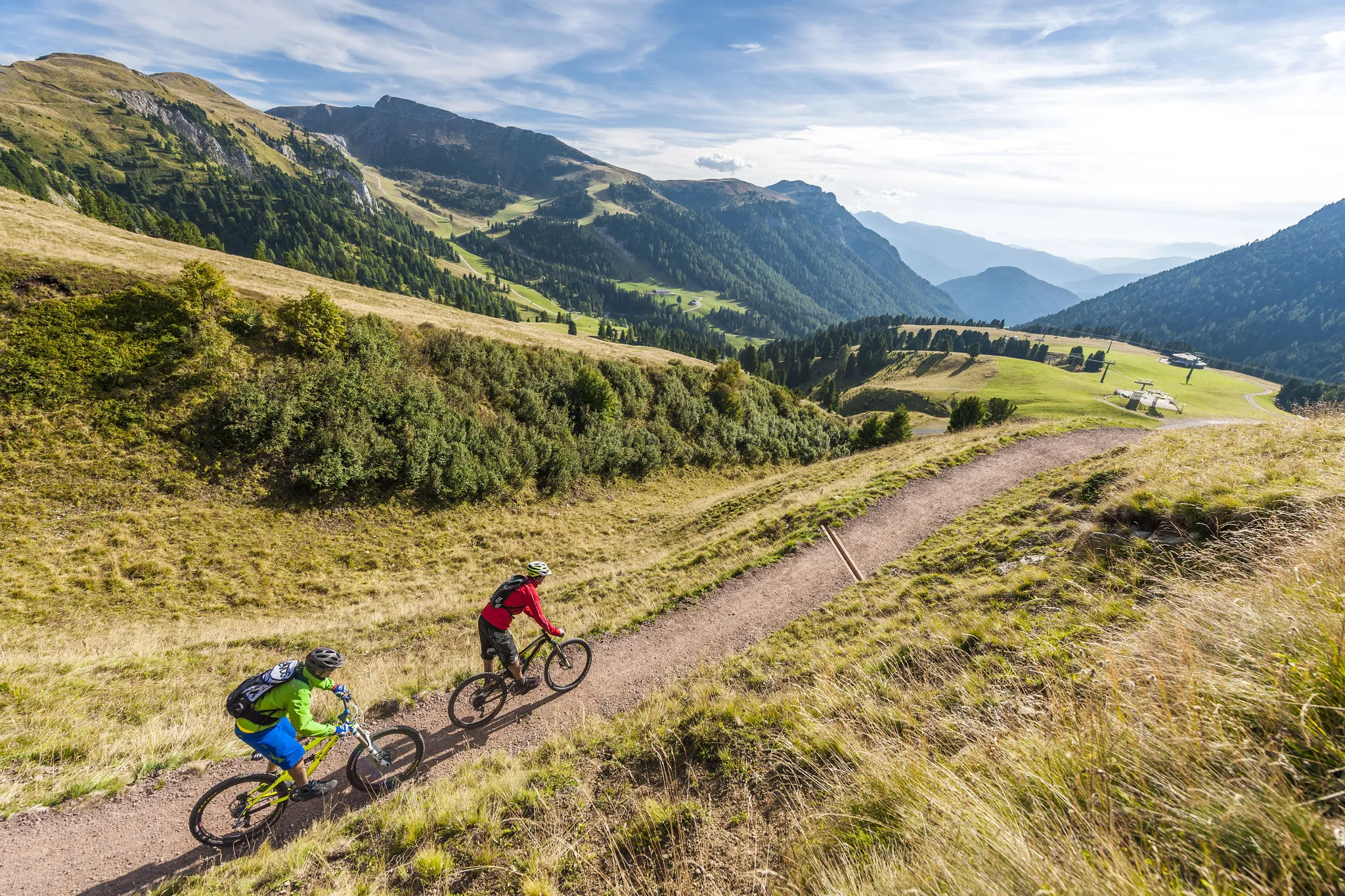
Supertrails — the long way down
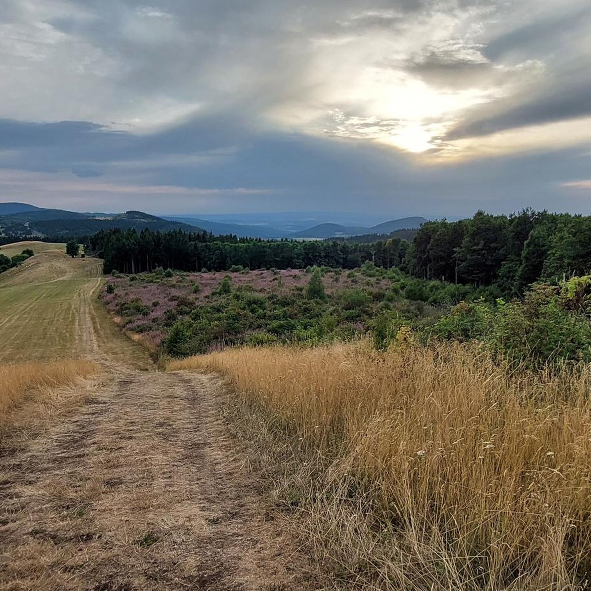
Hiking around Bischofsheim an der Rhön
Other adventures around Bischofsheim an der Rhön


Tips from the Community

A beautiful, well-preserved historic building.
1
0

This house is an art-historical treasure chest, in which almost everything remains unchanged as it was 100 years ago: Built in 1912 in the historicist style of a Swiss house, with Lüftlmalerei (air paintings) on the facade and also painted all over the interior. In the magnificent entrance area, a taxidermied capercaillie greets you from the wall; the carved coat hooks and the painted grandfather clock are beautiful. The wood paneling, old doors, original fittings, box windows, and authentic plank floors are cozy. The house was awarded a heritage prize by the Hyypo Foundation in 2012.
1
0

Great view from the Osterburg
0
0

Mega beautiful facade and everything well preserved
0
0

zZ in Easter decoration as a sign of the invention of the famous Rhönrad
2
0

To the biker lingering at this small, sacred monument, I would like to offer a short excerpt from Christiane Völkel as a meditative reflection, in which she explains to us—or perhaps better put: especially—in light of the summit cross towering here, “that our perspective is heaven”: “We Christians have experienced that God follows his promises with deeds. Just as he sent Jesus [our Savior and Redeemer] into the world to bring us the ‘Good News’ [this is the translation of the word ‘Gospel’] of his love and salvation, working in miracles and signs… so too has he made it known to us through him that our perspective is heaven, here on earth and after our death in a glorified, yet real way in its divine perfection.” (Christiane Völkel)
0
0

Yes, right next to Petra's snack bar, which is highly recommended.
0
0

Frequently Asked Questions
How many running routes are available around Bischofsheim an der Rhön?
There are over 90 running routes in the Bischofsheim an der Rhön area, offering a wide variety of distances and difficulty levels. You'll find everything from easy loops to challenging mountain runs.
Are there easy running paths suitable for beginners or families?
Yes, the region offers several easy running paths. For a gentle introduction, consider the Running loop from Wegfurt, which is 3.0 miles (4.9 km) long and leads through gentle hills and rural scenery. There are 9 easy routes in total.
What kind of terrain can I expect on the running trails in Bischofsheim an der Rhön?
The running trails in Bischofsheim an der Rhön, located within the Rhön Biosphere Reserve, feature diverse terrain. You'll encounter rolling hills, dense forests, and open plateaus. Many routes include moderate ascents and descents, providing varied experiences from challenging climbs to more relaxed paths through rural settings.
Are there any longer running trails for experienced runners seeking a challenge?
Absolutely. For experienced runners, routes like the Himmeldunkberg summit – View from Himmeldunkberg loop from Bischofsheim in der Rhön offer a significant challenge. This difficult 6.5-mile (10.5 km) trail features substantial elevation gain and panoramic views from the summit.
Can I bring my dog on the running routes in the Rhön?
Many trails in the Rhön Biosphere Reserve are dog-friendly, but it's always recommended to keep your dog on a leash, especially in nature protection areas or near livestock. Be mindful of local regulations and ensure your dog is well-behaved around other trail users and wildlife.
When is the best season to go running in Bischofsheim an der Rhön?
Spring, summer, and autumn are generally excellent seasons for running in Bischofsheim an der Rhön. Spring brings blooming landscapes, summer offers lush greenery, and autumn provides stunning foliage. While winter running is possible, be prepared for colder temperatures, potential snow, and icy conditions, especially at higher elevations like Kreuzberg.
Are there any running routes that pass by scenic viewpoints or natural attractions?
Yes, many routes offer scenic views. The Himmeldunkberg summit loop, for instance, provides panoramic vistas. For natural attractions, consider routes that might lead near highlights like the Cascade Gorge or the Schwarzbach Gorge and the Teufelsmühle (Devil’s Mill) Waterfall, though these might require a slight detour from dedicated running paths.
What do other runners enjoy most about jogging in Bischofsheim an der Rhön?
The area is highly rated by the komoot community, with an average score of 4.4 stars from over 100 reviews. Runners often praise the diverse landscapes, from quiet woodlands to open plateaus, and the well-maintained trails that cater to various fitness levels. The scenic beauty and tranquility of the Rhön Biosphere Reserve are frequently highlighted.
Are there any circular running routes available?
Most of the running routes listed on komoot for Bischofsheim an der Rhön are designed as circular loops, allowing you to start and finish at the same point. An example is the Kreuzberg Monastery – Kreuzberg (Rhön) loop from Sinnquellgebiet und Arnsbergsüdhang, a moderate 7.7 km route.
Are there any running routes with refreshment stops or cafes along the way?
While specific cafes directly on every running route are not guaranteed, many routes pass through or near villages where you can find refreshment. The area around Kreuzberg, for example, is known for its monastery brewery and guesthouses. It's advisable to check the route details or local maps for specific amenities before you go.
What should I wear for running on the Rhön trails?
Given the varied terrain and potential for changing weather in the Rhön, it's best to wear layers. Technical running gear that wicks away moisture is recommended. Depending on the season, consider a windproof or waterproof jacket. Trail running shoes with good grip are advisable for uneven surfaces and potential mud.
Are there any moderate-difficulty running routes that offer a good balance of challenge and scenery?
Yes, a popular choice for a balanced experience is On the way to Arnsberg. – Chapel of Our Lady of Mercy loop from Wildflecken. This moderate 8.4-mile (13.5 km) path winds through varied landscapes, including forest sections and open fields, offering both engagement and beautiful views without extreme difficulty.
Most popular routes around Bischofsheim an der Rhön
Most popular attractions around Bischofsheim an der Rhön

Get inspired with the komoot mobile app


Explore more
Browse the best Running Trails & Routes in other regions.
