The best gravel rides around Bischofsheim an der Rhön
4.7
(32)
116
riders
16
rides
Gravel biking around Bischofsheim an der Rhön offers diverse terrain within the UNESCO Biosphere Reserve Rhön. The region is characterized by rolling hills, extensive forests, and river valleys, providing varied surfaces for gravel cyclists. Trails often traverse natural parks and forested areas, with elevations typical of a low mountain range, including prominent features like the Kreuzberg and the Rotes Moor. This landscape provides a mix of ascents, descents, and open vistas ideal for gravel riding.
Best gravel bike trails around…
Last updated: October 19, 2026
5.0
(2)
10
riders
Hard gravel ride. Very good fitness required. Mostly paved surfaces. Suitable for all skill levels.
4.7
(3)
14
riders
Hard gravel ride. Very good fitness required. Mostly paved surfaces. Suitable for all skill levels.

4.8
(6)
25
riders
65.6km
03:58
860m
860m
Hard gravel ride. Very good fitness required. Mostly paved surfaces. Suitable for all skill levels.
5.0
(4)
16
riders
37.9km
02:33
760m
760m
Hard gravel ride. Very good fitness required. Mostly paved surfaces. Suitable for all skill levels.
4.0
(2)
13
riders
50.6km
03:17
980m
980m
Hard gravel ride. Very good fitness required. Mostly paved surfaces. Suitable for all skill levels.
Get access to more routes and recommendations from other explorers.
Already have an account?
Our route recommendations are based on thousands of hikes, rides, and runs completed by other people on komoot.
Start today with a free account
Your next adventure awaits.
Popular around Bischofsheim an der Rhön
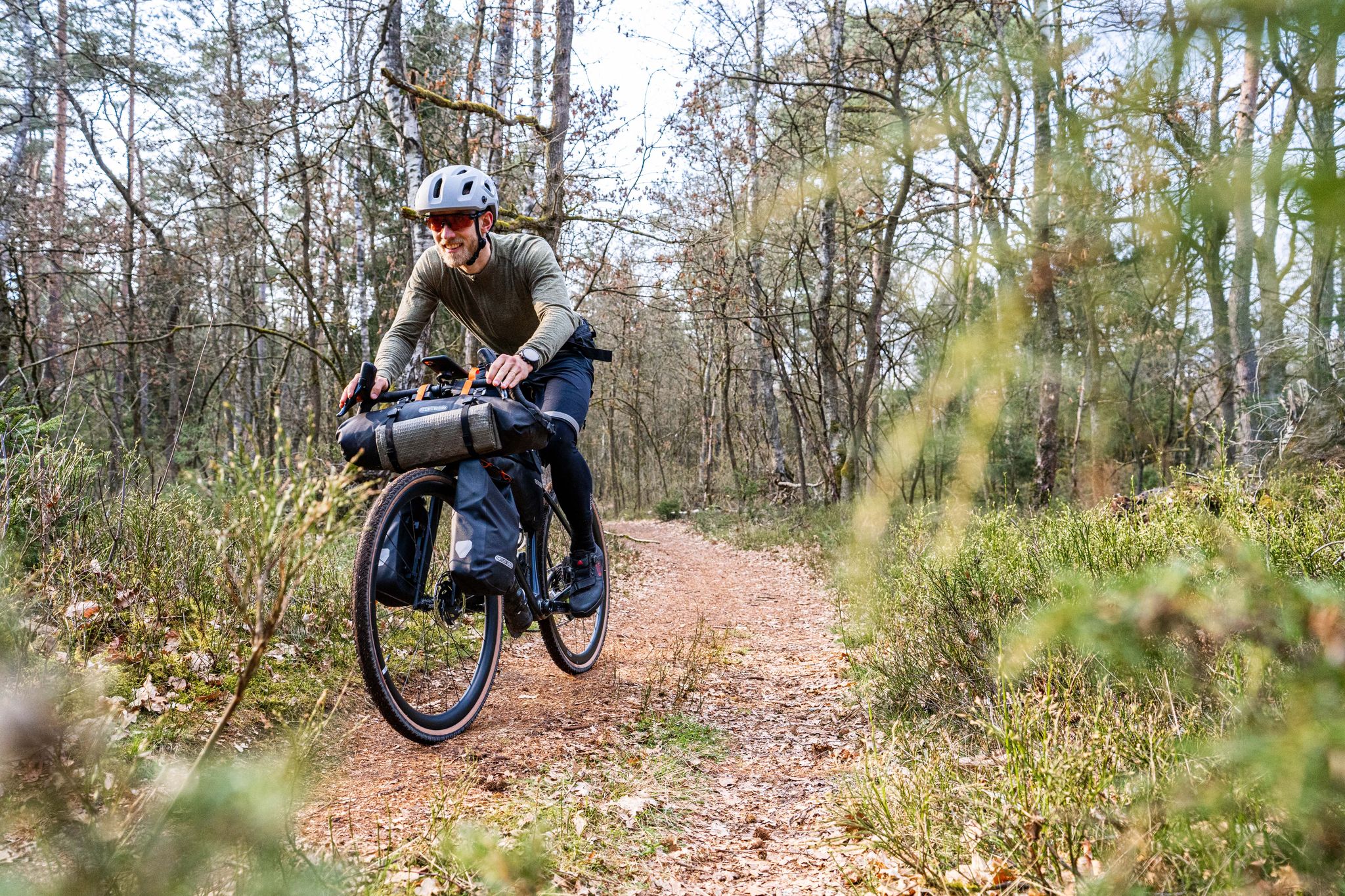
Gravel bikepacking from Hamburg to Munich
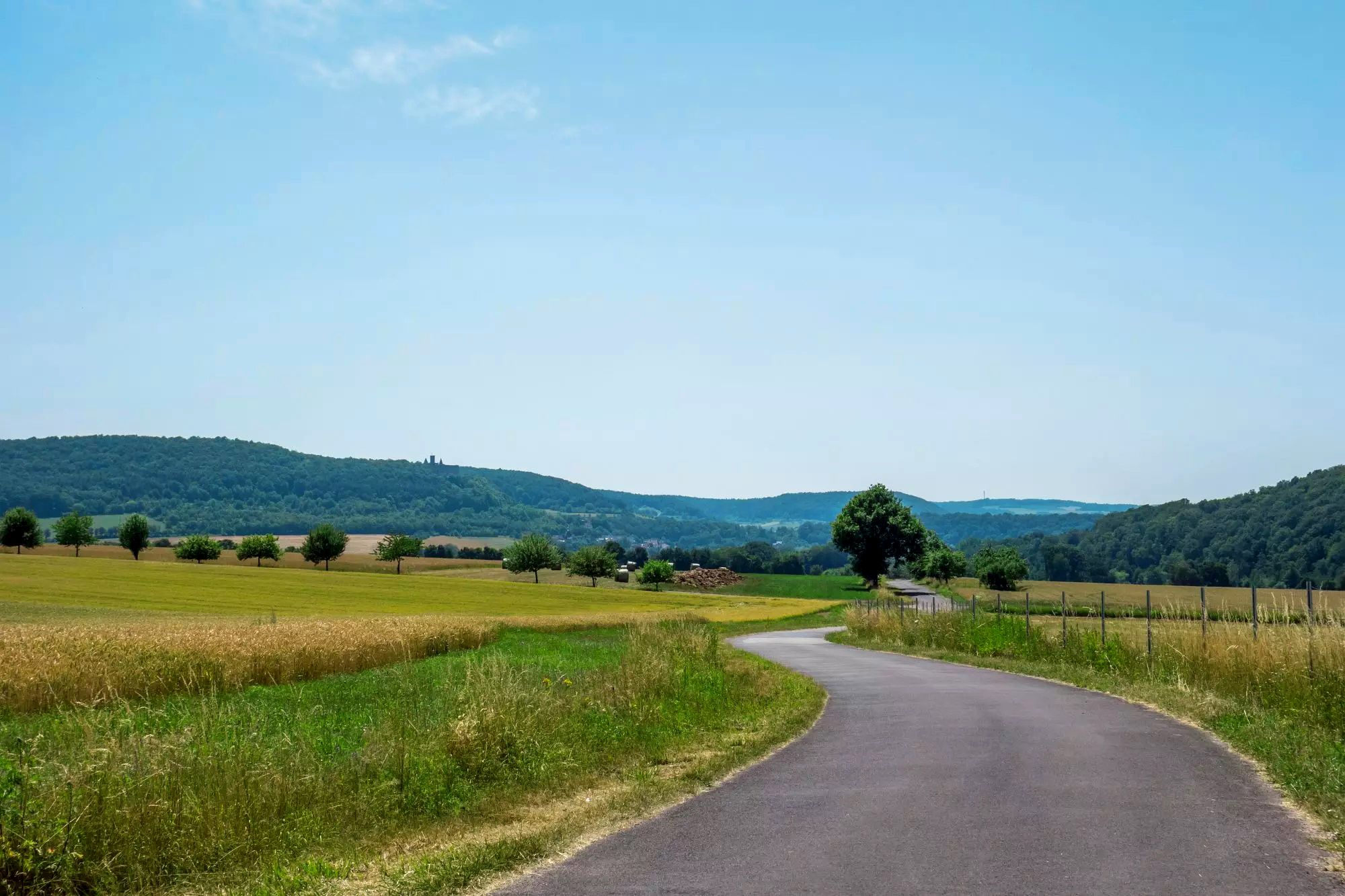
Rhön Cycleway in Germany – Cycling in the Land of Open Distances

Stages of the HOCHRHÖNER Premium Hiking Trail

Extra tours South - Excellent premium hiking trails of the Rhön

Wonderful Green Band

Hike Germany’s Rhön Mountains on the Hochrhöner Trail
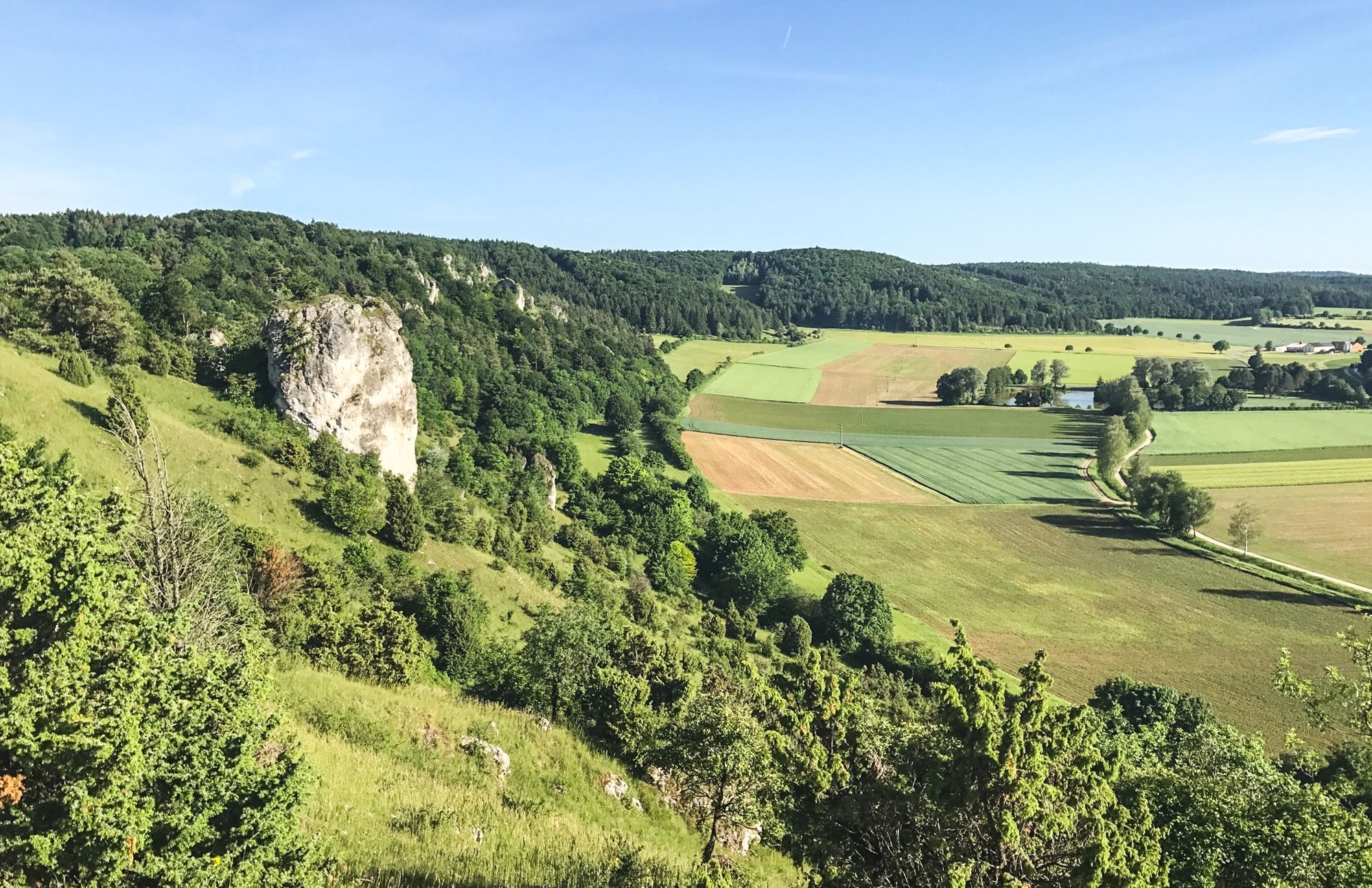
Between Altmühltal & Spruce Mountains – hiking in Franconia
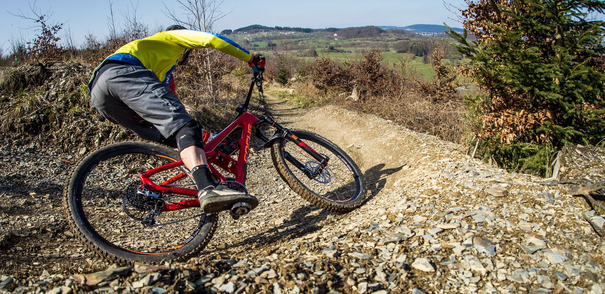
Flow Rider — trail fun for everyone
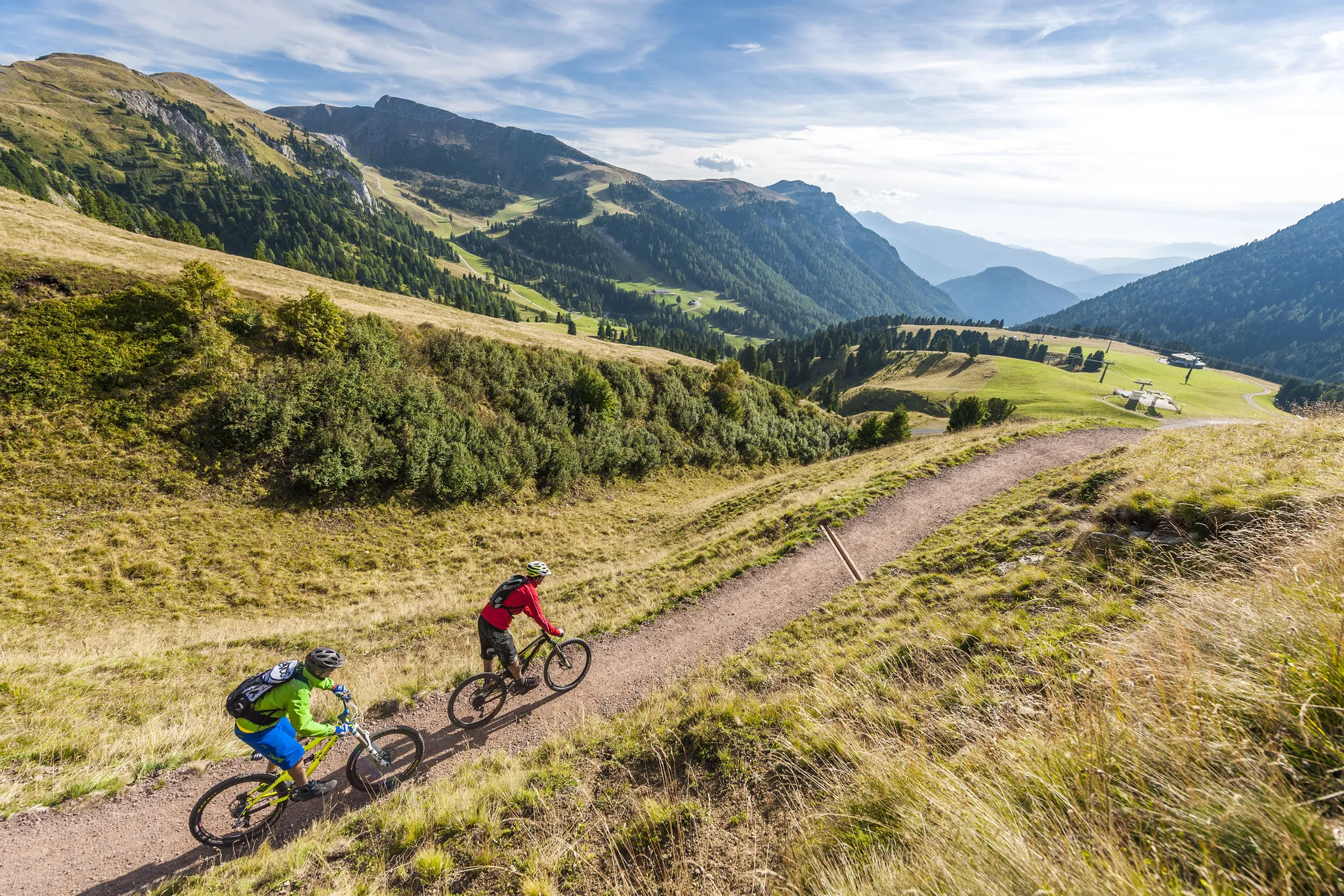
Supertrails — the long way down
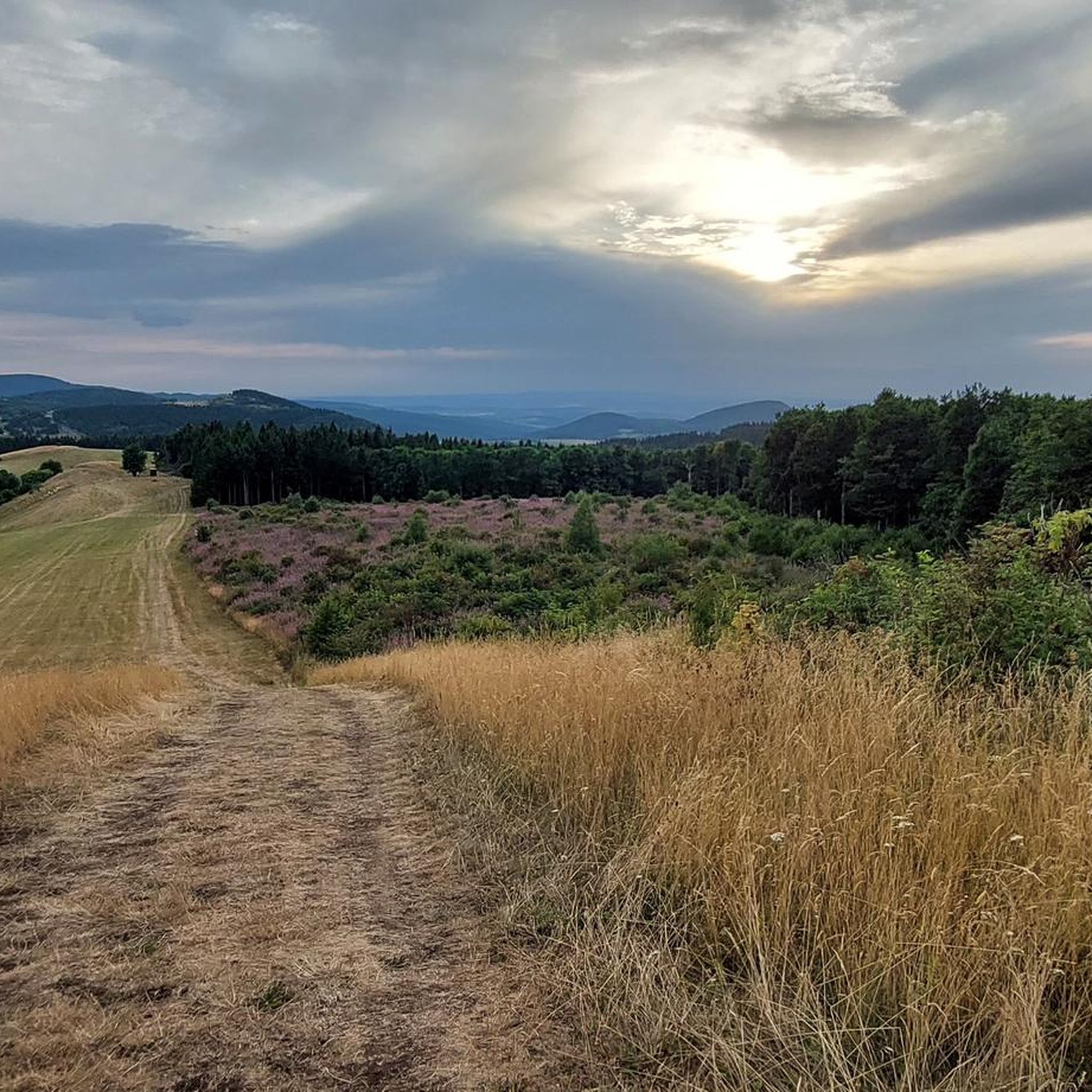
Hiking around Bischofsheim an der Rhön
Other adventures around Bischofsheim an der Rhön


Tips from the Community

Great, you can observe a lot there
0
0
Beautiful Blankenpfad with info boards
0
0

It is an interesting section of the path. I suspect that people have immortalized themselves here who ensured that we can wander through the forest with pleasant thoughts. My thanks go out to them.
0
0

You have to climb up there, meter by meter, but it's worth it.
0
0

The historic town center of Bischofsheim an der Rhön is characterized by its medieval basic structure and a wealth of traditional building and craftsmanship.
1
0

One of the many wonderful views that can be enjoyed in the "Land of Open Distances".
0
0

The Arnsberg is located northwest of the Kreuzberg in the Bavarian Rhön. It is a striking and widely visible mountain, 842 m high, which belongs to the natural region of the Hohe Rhön.
1
0
Yes, it looks quite impressive...
0
0
Frequently Asked Questions
How many gravel bike trails are available around Bischofsheim an der Rhön?
There are over 35 gravel bike routes in the region, offering a wide range of experiences for different skill levels. The network includes everything from shorter, easier rides to challenging, longer tours through the Rhön Biosphere Reserve.
Are there any beginner-friendly gravel bike trails in Bischofsheim an der Rhön?
While many routes in the region are rated as difficult, there are options suitable for beginners. These trails typically feature less elevation gain and smoother surfaces, allowing for a more relaxed introduction to gravel biking in the Rhön. Look for routes specifically marked as 'easy' on komoot.
What are the most challenging gravel bike routes in the area?
For experienced gravel bikers seeking a challenge, the region offers numerous difficult routes. One such demanding tour is the Guckas Pass – Kreuzberg Monastery loop from Naturpark Bayerische Rhön, which covers over 65 km and includes significant elevation changes, providing a true test of endurance and skill.
What kind of scenery can I expect on gravel bike trails around Bischofsheim an der Rhön?
The gravel bike trails in this region traverse a diverse landscape within the Rhön Biosphere Reserve. You'll encounter rolling hills, extensive moorland, and picturesque river valleys. Expect to ride through natural parks and forested areas, with opportunities to see unique features like the Rotes Moor and the Streu River. Many routes also offer stunning viewpoints.
Are there any circular gravel bike routes available?
Yes, many of the gravel bike routes around Bischofsheim an der Rhön are designed as loops, allowing you to start and end at the same point. For example, the Rotes Moor Pond – Moor lake in the Red Moor loop from Sinnquellgebiet und Arnsbergsüdhang is a popular circular route exploring the unique moorland landscape.
What is the best season for gravel biking in Bischofsheim an der Rhön?
The best seasons for gravel biking in the Rhön are typically spring, summer, and early autumn. During these months, the weather is generally mild, and the trails are in good condition. Spring brings blooming landscapes, while autumn offers vibrant foliage. Winter riding is possible but may involve snow and ice, requiring appropriate gear and caution.
Are there places to stop for refreshments or food along the gravel bike routes?
Yes, the Rhön region has various cafes, pubs, and traditional guesthouses (Gasthöfe) in towns and villages along many routes. The area is known for its hospitality, and you'll often find opportunities to refuel and enjoy local specialties. Specific routes might pass directly by establishments, so checking your komoot tour details is recommended.
What attractions or landmarks can I see while gravel biking in the area?
Many gravel routes pass by or near notable attractions. You can explore natural monuments like the Schwarzes Moor Nature Trail or visit scenic lakes such as Guckaisee. The region also features historical sites and charming villages, offering plenty to see beyond the trails themselves.
What do other gravel bikers enjoy most about the trails in Bischofsheim an der Rhön?
The area is highly rated by the komoot community, with an average score of 4.8 stars. Reviewers often praise the diverse terrain, from moorland to river valleys and forested hills, as well as the stunning natural beauty of the Rhön Biosphere Reserve. The variety of routes catering to different skill levels is also frequently highlighted.
Where can I find parking for gravel bike routes in Bischofsheim an der Rhön?
Parking is generally available in and around Bischofsheim an der Rhön, as well as at various trailheads and villages throughout the Rhön Biosphere Reserve. Many routes start from designated parking areas. It's advisable to check the starting point of your chosen komoot tour for specific parking recommendations.
Are there any routes that follow the Streu River?
Yes, the Streu River Trail – Streu River in Ostheim loop from Bischofsheim in der Rhön is a popular difficult route that follows the Streu River. This 64.1 km path offers a mix of riverside trails and open country, providing a unique perspective of the region's waterways.
Can I find routes with good viewpoints?
Absolutely. The hilly landscape of the Rhön offers numerous opportunities for panoramic views. The View from the summit of Kreuzberg – Gemündener Hut loop from Riedenberg is a prime example, leading through forested hills and providing excellent vistas from Kreuzberg, a well-known peak in the area.
Most popular routes around Bischofsheim an der Rhön
Most popular attractions around Bischofsheim an der Rhön

Get inspired with the komoot mobile app


Explore more
Browse the best Gravel rides in other regions.
