The best mountain hikes around Hirschberg an der Bergstraße
4.5
(2)
8
hikers
3
hikes
Mountaineering routes Hirschberg an der Bergstraße are situated at the foot of the Odenwald mountain range, offering access to extensive forests and hilly terrain. The region is characterized by its elevated position, providing panoramic views across the Rhine Valley from various points. Slopes are often covered with vineyards and orchards, contributing to a diverse landscape for outdoor activities. This area provides a network of trails with varied terrain and elevation changes.
Best mountaineering routes around Hirschberg an der Bergstraße
- The…
Last updated: October 18, 2026
5.0
(1)
4
hikers
6.97km
02:24
320m
320m
Moderate mountaineering route. Good fitness required. Mostly accessible paths. Sure-footedness required.
2
hikers
15.3km
04:53
600m
600m
Moderate mountaineering route. Good fitness required. Mostly accessible paths. Sure-footedness required.

9.01km
03:06
470m
470m
Moderate mountaineering route. Good fitness required. Easily-accessible paths. Suitable for all skill levels.
4.0
(1)
1
hikers
11.6km
03:38
400m
400m
Moderate mountaineering route. Good fitness required. Mostly accessible paths. Sure-footedness required.
1
hikers
Moderate mountaineering route. Good fitness required. Mostly accessible paths. Sure-footedness required.
Our route recommendations are based on thousands of hikes, rides, and runs completed by other people on komoot.
Start today with a free account
Your next adventure awaits.
Popular around Hirschberg an der Bergstraße
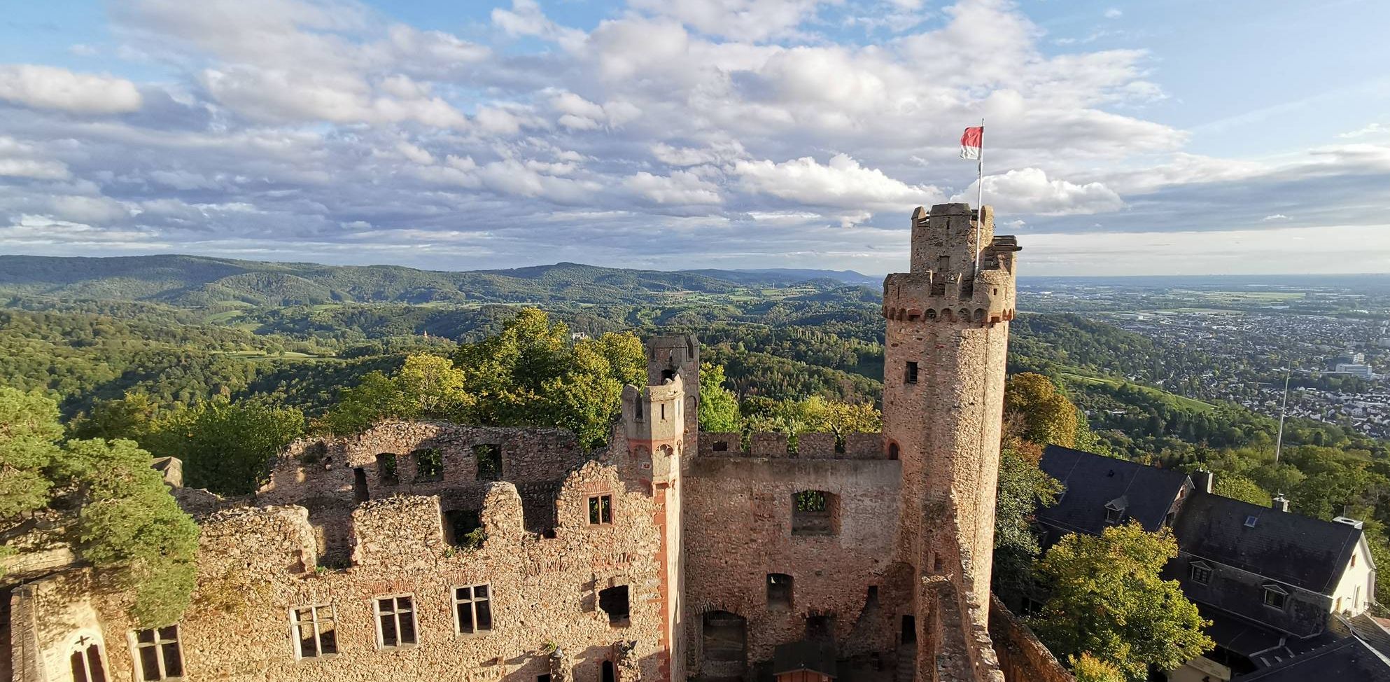
Burgensteig Bergstraße – In the footsteps of knights, hiking in 9 stages
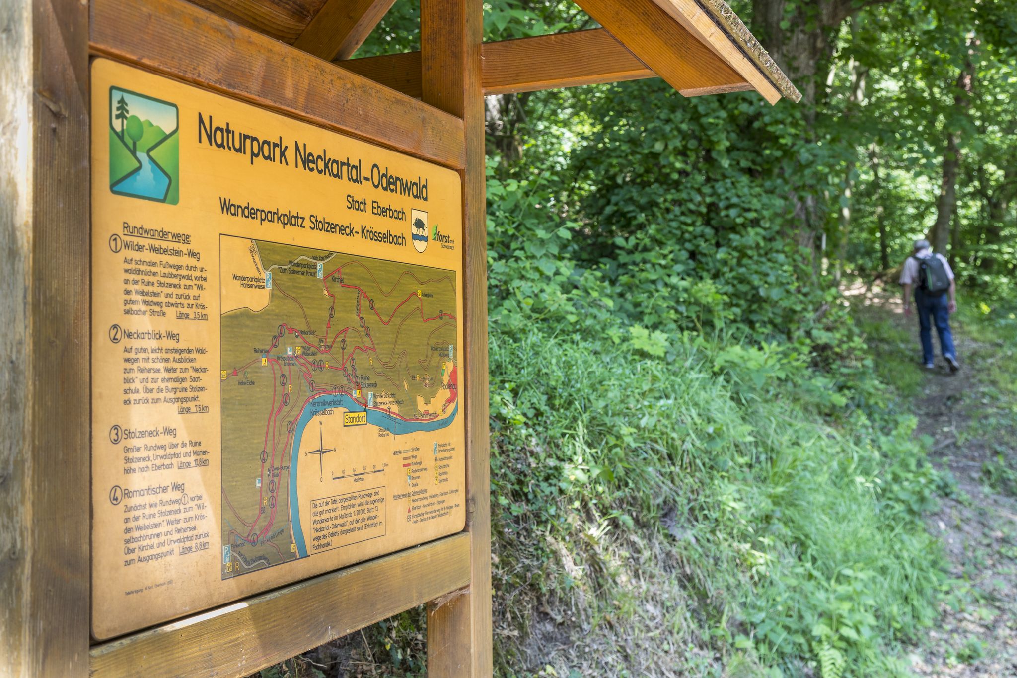
Themenwege im Naturpark Neckartal-Odenwald
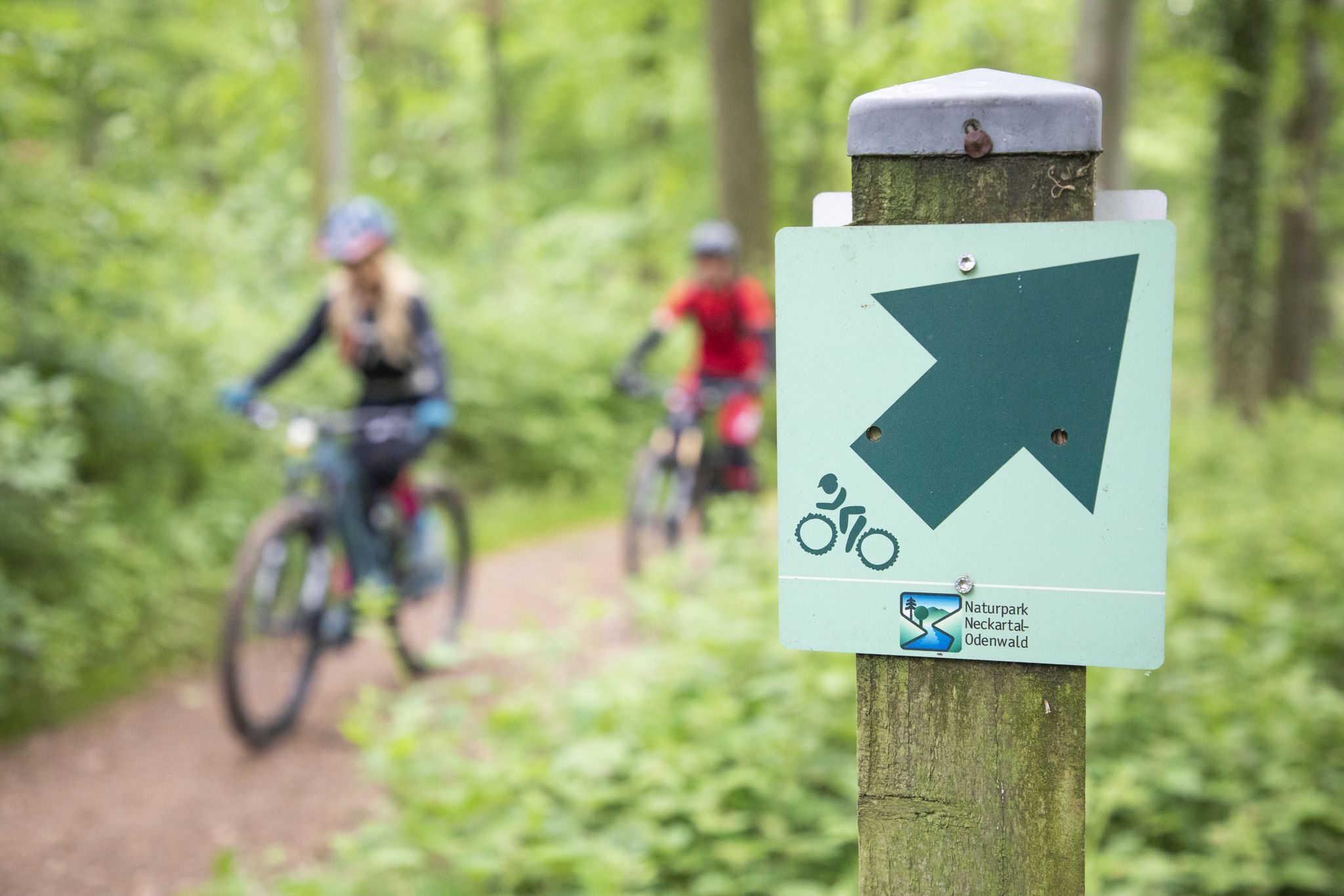
Mountainbike-Touren im Naturpark Neckartal-Odenwald
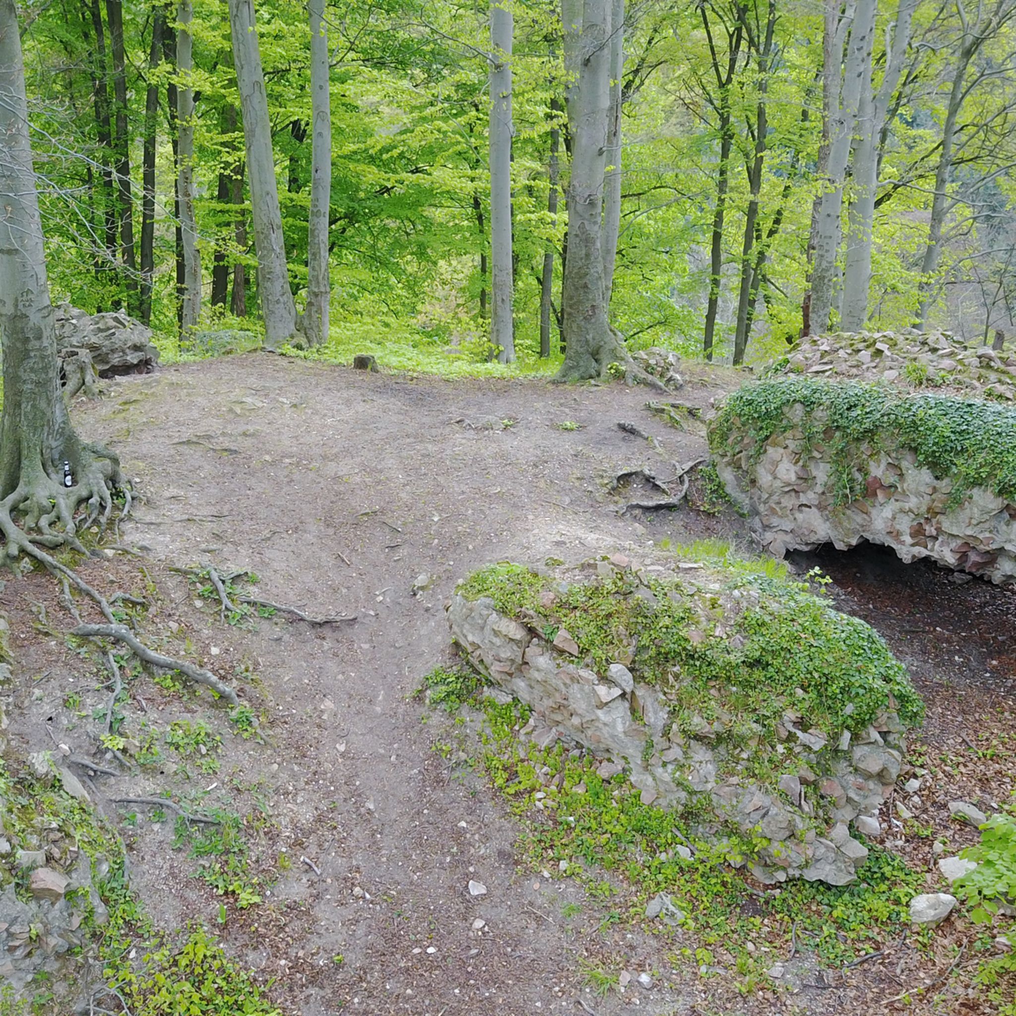
Hiking around Hirschberg an der Bergstraße
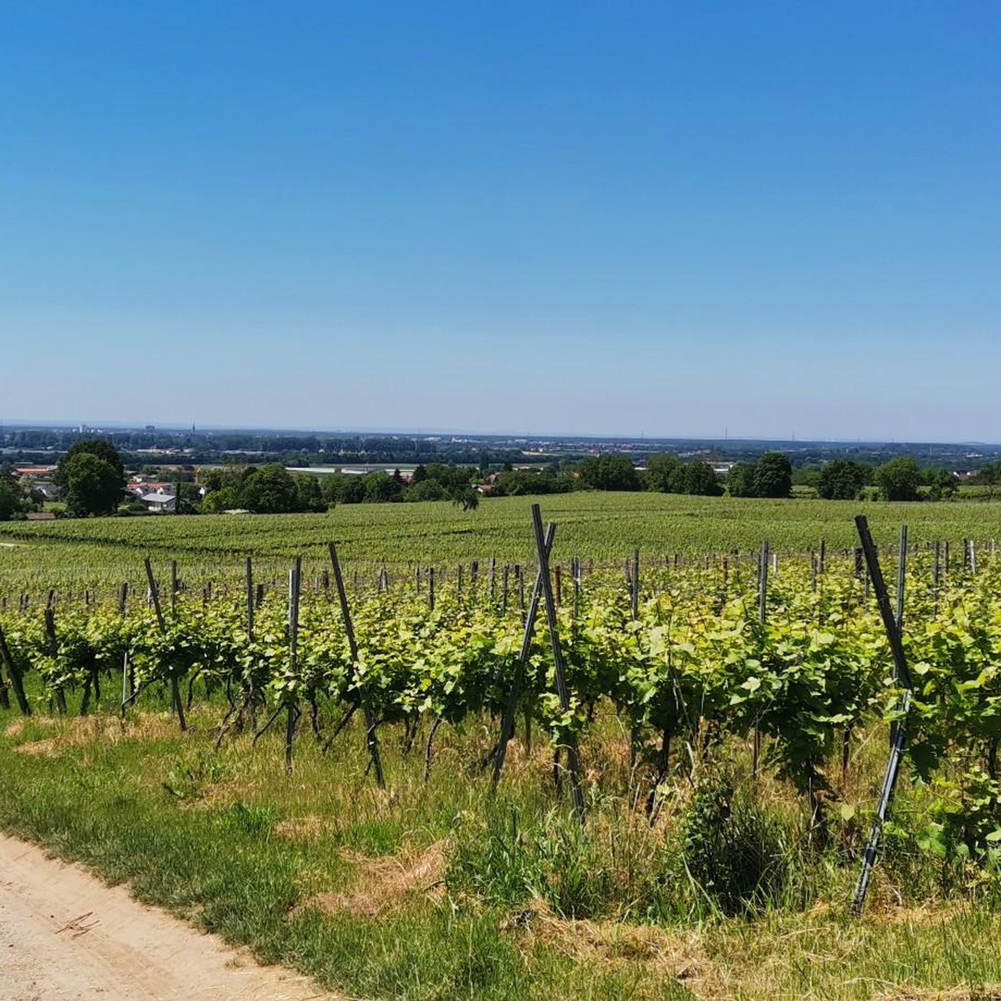
Cycling around Hirschberg an der Bergstraße
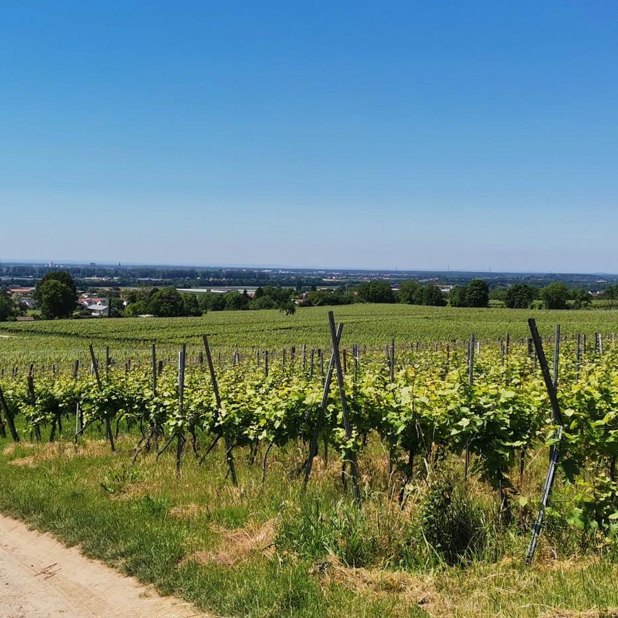
MTB Trails around Hirschberg an der Bergstraße
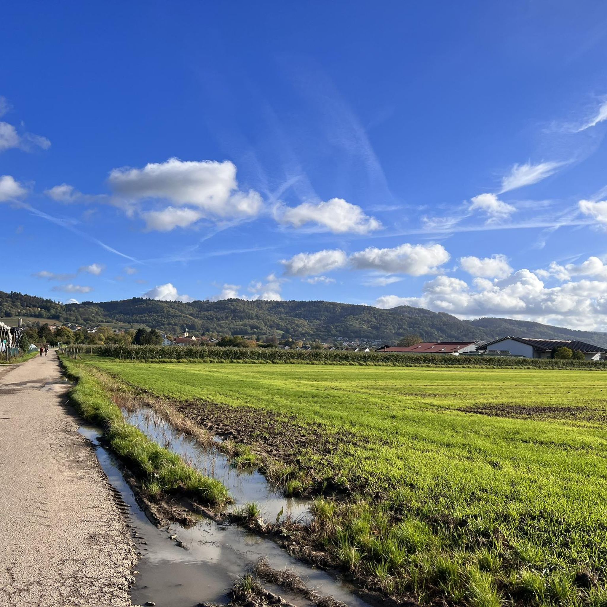
Running Trails around Hirschberg an der Bergstraße
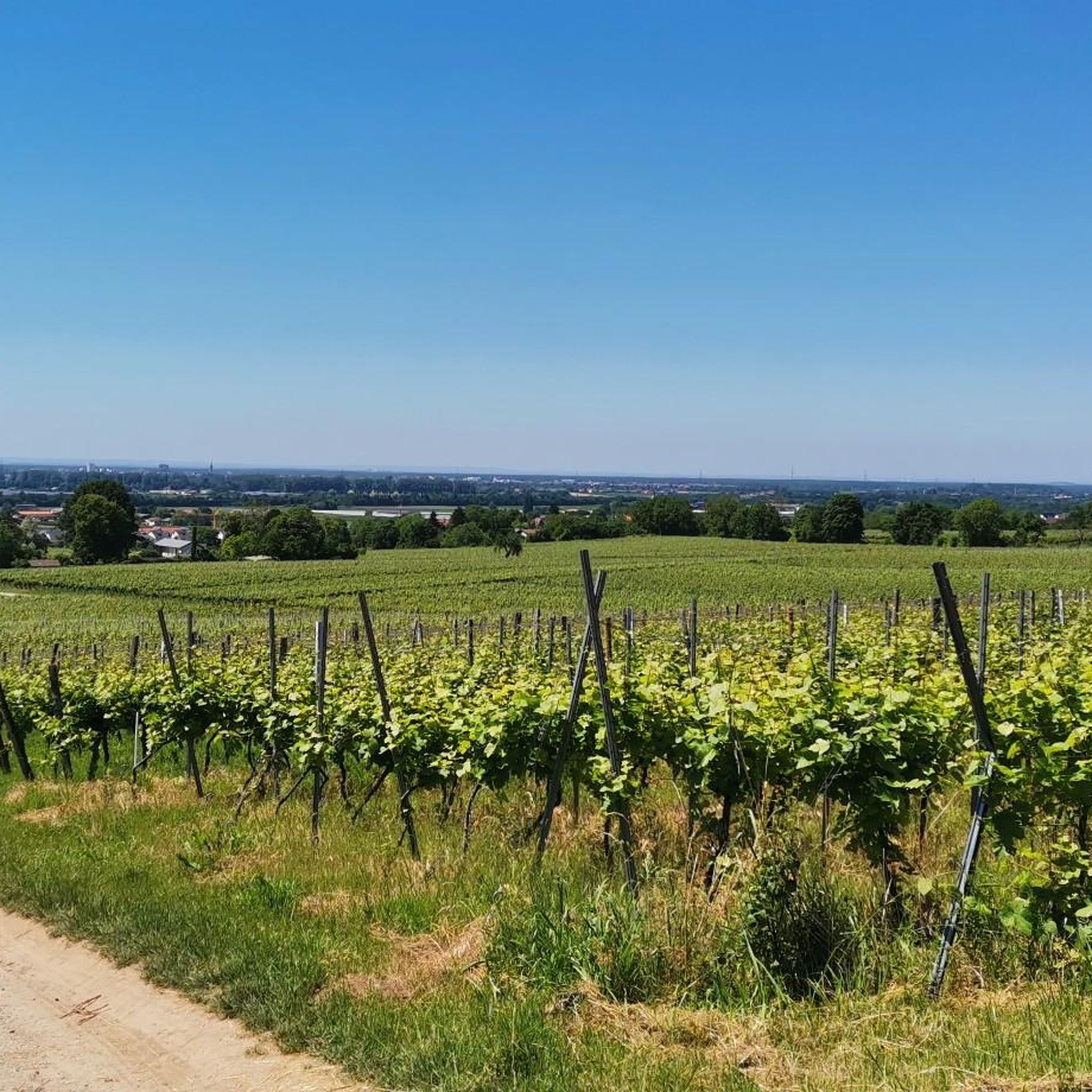
Road Cycling Routes around Hirschberg an der Bergstraße
Gravel biking around Hirschberg an der Bergstraße
Other adventures around Hirschberg an der Bergstraße


Tips from the Community

Great view - beautiful landscape. Lovely to ride here.
1
0

... take a hat with you. When you sweat, the wind blows on the Königstuhl
0
0

Replica of a Celtic wall
0
0

A very beautiful place.
0
0

From here beautiful view of the castle
0
0

This is an excellent photo opportunity with the Karlsplatz fountain and the castle
1
0

A great place to linger. Quieter than the market square and with a direct view of the castle.
1
0

With a view of the castle
1
0
Frequently Asked Questions
What kind of terrain can I expect on mountaineering routes around Hirschberg an der Bergstraße?
The routes in Hirschberg an der Bergstraße are situated at the foot of the Odenwald mountain range, offering access to extensive forests and hilly terrain. You'll find varied ascents and descents, often leading through mixed woodlands, past vineyards, and orchards. From many points, you can enjoy panoramic views across the Rhine Valley.
Are there any circular mountaineering routes available?
Yes, several routes are designed as loops, allowing you to start and finish in the same location. For example, consider the Peterskirche Heidelberg – Sprunghöhe Shelter loop from Heidelberg, which offers a moderate challenge over approximately 9 kilometers.
What are some interesting landmarks or natural features to see along the routes?
The region is rich in natural and historical points of interest. You might encounter the Weißer Stein and observation tower for expansive views, or the Eichelberg Tower (Mannheimer Hut). For those interested in geological features, the Entrance to the Hermannsgrund Silicate Mine or the Wildeleutestein Rock Formation offer unique sights.
What is the best time of year for mountaineering in Hirschberg an der Bergstraße?
The best times for mountaineering are generally between spring and autumn. Spring offers the beauty of blossoming fruit trees, while autumn provides vibrant foliage. The mild climate along the Bergstraße makes these seasons particularly pleasant for outdoor activities.
Are there any longer, more challenging routes for experienced mountaineers?
While all routes in this guide are rated as moderate, some offer significant distance and elevation gain. The Mausbachbrunnen loop from Heidelberg is a substantial 15-kilometer trail through dense woodlands, taking nearly 5 hours to complete, providing a good endurance challenge.
What do other mountaineers say about the routes in Hirschberg an der Bergstraße?
The routes in Hirschberg an der Bergstraße are highly rated by the komoot community, with an average score of 4.7 stars from over 4 reviews. Mountaineers often praise the varied terrain, the beautiful Odenwald forests, and the rewarding views across the Rhine Valley.
Are there any routes that offer particularly good viewpoints?
Many routes in the region provide excellent viewpoints due to the elevated position. The View from Königstuhl – Rest Area at the Himmelsleiter loop from Station Kornmarkt is specifically known for its significant elevation gain and the panoramic vistas it offers.
Can I find places to eat or rest along the mountaineering routes?
Yes, there are options for refreshments and rest. You might come across places like the Heiligenberg Forest Inn or the Schriesheimer Hut, which are popular spots for hikers to take a break.
Are there any routes that pass by historical sites or ruins?
The region has a rich history. For example, the Hohe Waid Summit Cross – Schanzenköpfle Ruins loop from Leutershausen will take you past the ruins of Schanzenköpfle, adding a cultural dimension to your outdoor experience. The broader region is also part of the historic 'Burgensteig' (Castle Trail).
How many mountaineering routes are covered in this guide for Hirschberg an der Bergstraße?
This guide features 4 distinct mountaineering routes around Hirschberg an der Bergstraße, all of which are rated as moderate in difficulty.
What is the typical elevation gain on these routes?
The routes in this guide feature varied elevation gains, generally ranging from around 300 to 600 meters. For instance, the Ölberg – Schwedenschanze loop from Schriesheim has an elevation gain of over 300 meters, while the Mausbachbrunnen loop from Heidelberg climbs nearly 600 meters.
Most popular routes around Hirschberg an der Bergstraße
Most popular attractions around Hirschberg an der Bergstraße

Get inspired with the komoot mobile app


Explore more
Browse the best Mountain Hikes & Routes in other regions.
