The best MTB trails around Chilworth
4.3
(98)
570
riders
93
rides
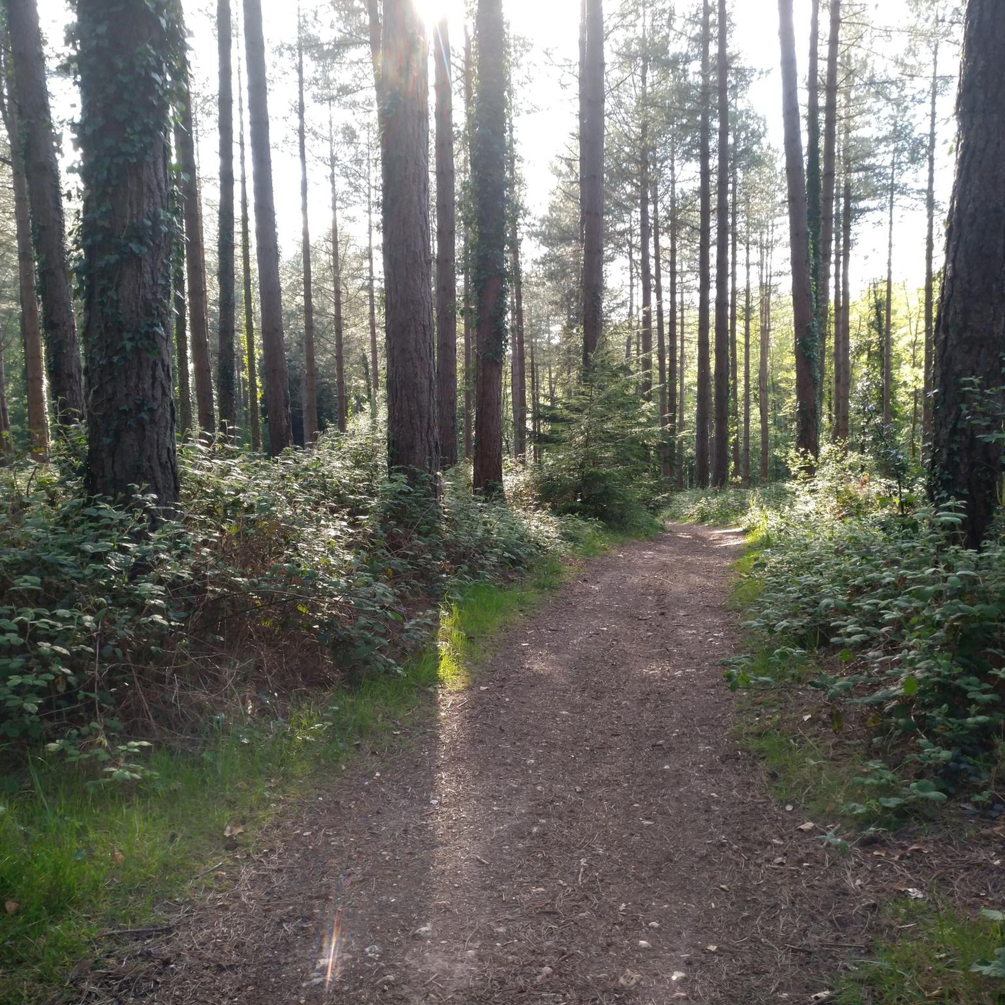
Mountain biking around Chilworth offers access to a diverse network of trails within the wider Surrey Hills area. The region features rolling hills, extensive woodlands, and varied terrain, including sand-based sections. This landscape provides a range of riding experiences for mountain bikers, with paths winding through forests and open spaces. Chilworth's location within the Surrey Hills AONB ensures picturesque natural scenery for outdoor pursuits.
Best mountain bike trails around Chilworth
- The most popular mountain bike trail is Farley Mount Monument…
Last updated: October 13, 2026
4.8
(8)
25
riders
33.5km
02:27
380m
380m
Moderate mountain bike ride. Good fitness required. Advanced riding skills necessary.
7
riders
72.7km
05:20
730m
730m
Hard mountain bike ride. Very good fitness required. Advanced riding skills necessary.

4
riders
69.1km
04:10
490m
490m
Moderate mountain bike ride. Good fitness required. Suitable for all skill levels.
4.0
(1)
7
riders
Moderate mountain bike ride. Great for any fitness level. Advanced riding skills necessary.
5.0
(3)
5
riders
41.2km
03:06
510m
510m
Moderate mountain bike ride. Good fitness required. Advanced riding skills necessary.
Get access to more routes and recommendations from other explorers.
Already have an account?
Our route recommendations are based on thousands of hikes, rides, and runs completed by other people on komoot.
Start today with a free account
Your next adventure awaits.
Tips from the Community

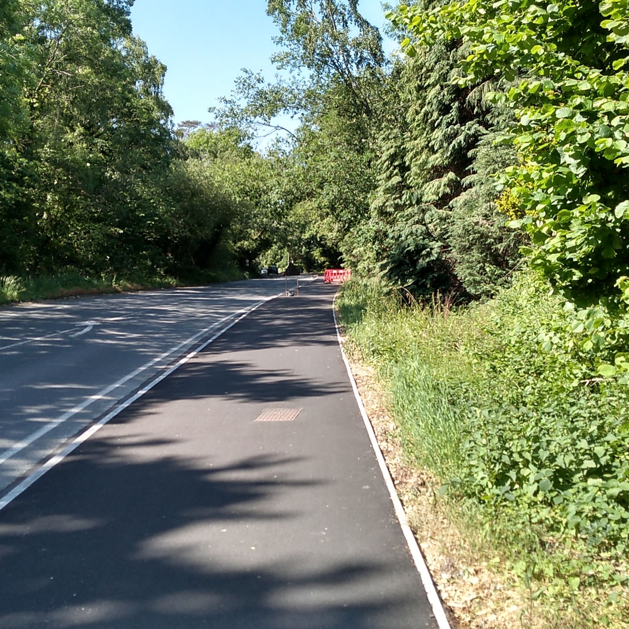
2026 April, the track down to the Winchester road is well cleared, a great descent (please don't scare the walkers!)
1
0

If you’re looking for a peaceful escape with some of the best views in Hampshire, St. Catherine's HillClick to open side panel for more information is a fantastic spot. Managed by the Wildlife Trust, this 58-hectare chalk grassland sits just on the edge of Winchester and offers a mix of ancient history and quiet nature that feels worlds away from the city center. The "Climb": To get to the summit, you’ll likely tackle a long set of over 100 wooden steps. It’s a bit of a workout, but the reward is a 360-degree panorama of Winchester Cathedral, the surrounding water meadows, and the rolling South Downs. The Mizmaze: Near the top, tucked beside a clump of beech trees, is a rare 17th-century turf labyrinth. Unlike a traditional maze with dead ends, this is a single, winding path cut into the chalk. It’s a local tradition to "toll the labyrinth" by walking the entire 600-meter path to the center. Iron Age Roots: The hill is actually an ancient hill fort. As you wander around the top, you can still clearly see the massive earthwork banks and ditches that were dug over 2,500 years ago. Wildlife Spotting: If you visit in the summer, the hillsides are famously covered in wildflowers and at least 25 species of butterflies, including the bright blue Chalkhill Blue. You might even run into the "resident" British White cattle used for conservation grazing. Pro-tips for a relaxed visit: Parking: The small car park on Garnier Road is the most convenient, but it fills up fast on weekends. A good alternative is using the St. Catherine’s Park & Ride and taking the scenic footpath along the river to reach the base of the hill. Coffee & Cake: At the bottom of the hill on Garnier Road, check out The Handlebar Café. It’s a cool, cycle-themed social enterprise made from old shipping containers that serves great coffee and snacks—perfect for a post-climb treat. Accessibility: If the steps sound a bit much, there is a much gentler, flatter route that winds around the back of the hill via "Plague Pits Valley."
0
0

Be careful in the winter and prolonged rain as its gets really boggy at the bottom and will stop you dead as it can be deep mud
0
0

The Meon Valley Trail is a ten mile (16 km) multi-user trail that follows a disused railway track through the Meon Valley. It's basically flat and suitable for most users; this means it's well-used by families and horses, so you can't race.
0
0

Great options for taking different routes downhill
0
0

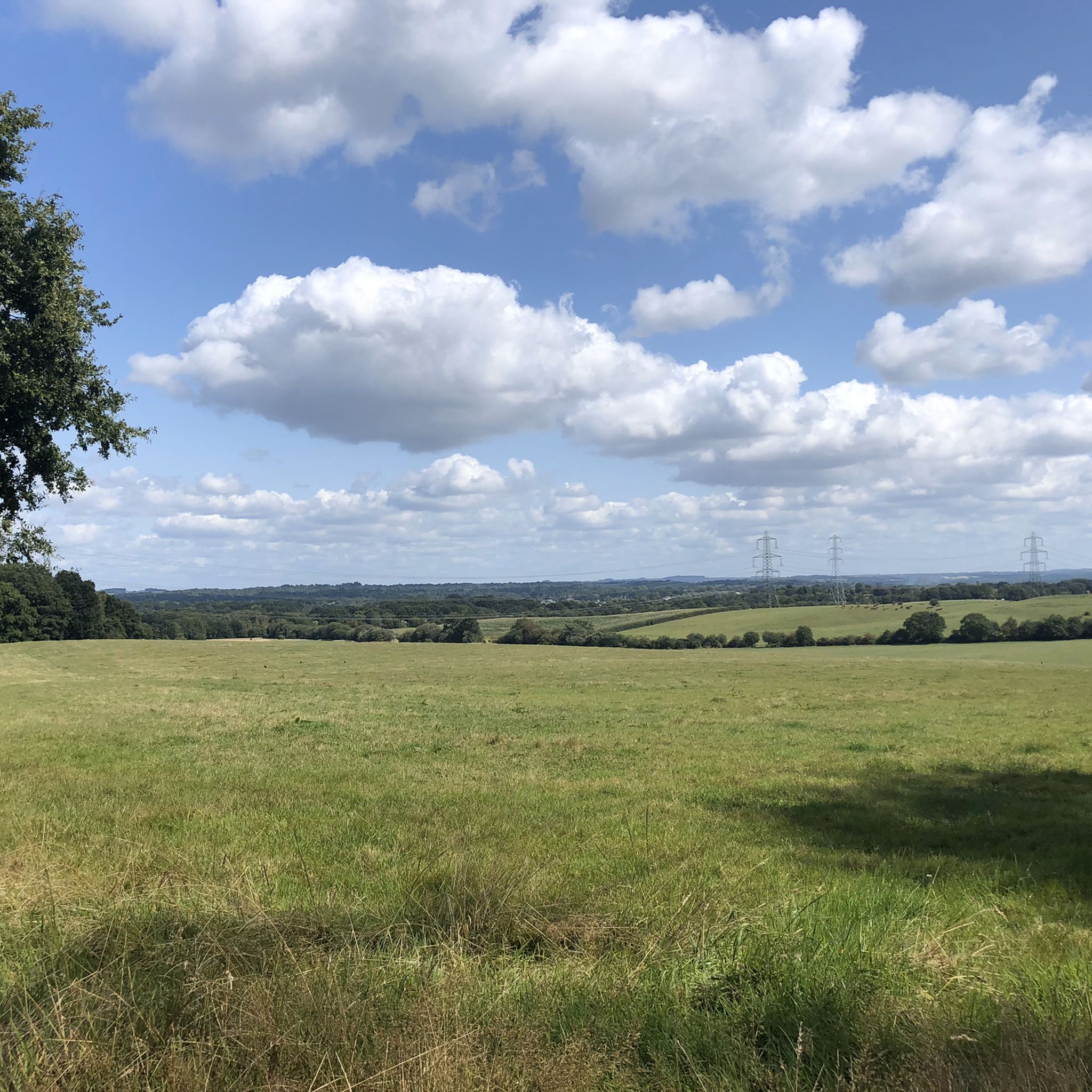
Open views and wild flowers surrounding the gravel track in July time of year.
0
0
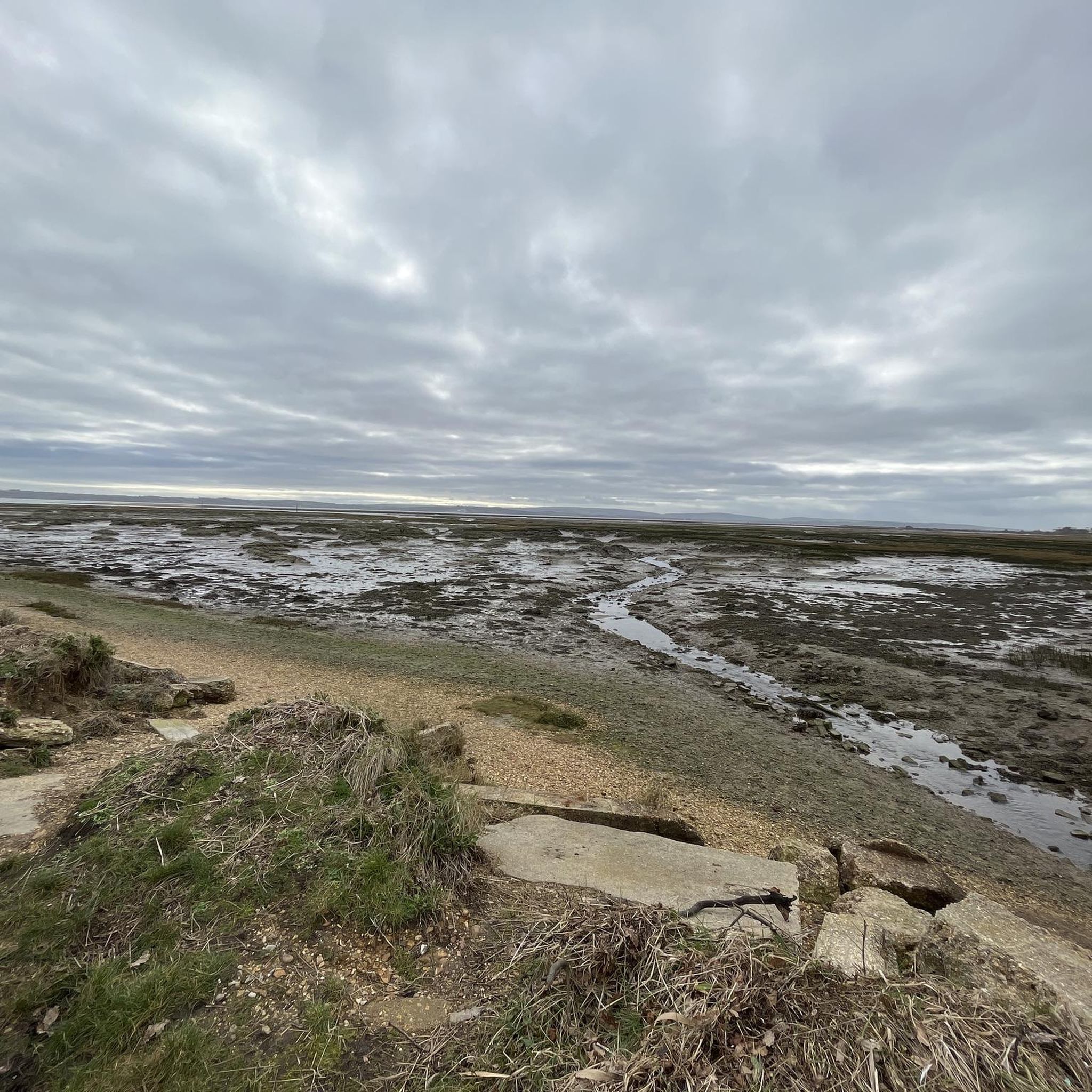
Nearly the furthest point on our ride today. It's a great way to access the South Downs Way.
1
0
Frequently Asked Questions
How many mountain bike trails are available around Chilworth?
There are over 100 mountain bike trails around Chilworth, offering a wide range of options for different skill levels and preferences. The komoot community has rated these routes highly, with an average score of 4.4 stars.
What kind of terrain can I expect when mountain biking near Chilworth?
Mountain biking around Chilworth, particularly within the accessible Surrey Hills, features diverse terrain. You can expect loamy, jumpy, and bermy tracks, often on sand-based ground, winding through rolling hills and extensive woodlands. This variety provides engaging rides for different abilities.
Are there mountain bike trails suitable for beginners or families in Chilworth?
Yes, Chilworth offers a good selection of trails suitable for beginners and families. Approximately 30 of the routes are rated as easy. For a peaceful setting, consider the Southampton Bike Park – Ampfield Woods loop from Swaythling, which is an easy 18.9-mile path winding through Ampfield Woods.
Are there any long-distance mountain bike routes available?
For those looking for a longer ride, the Meon Valley Trail – Meon River Access Point loop from Chandler's Ford is a notable option. This moderate trail spans 42.9 miles (69.1 km) and typically takes around 4 hours and 10 minutes to complete, leading through varied landscapes.
What are some interesting natural features or landmarks I can see along the trails?
While riding around Chilworth, you can encounter several natural features and landmarks. The area is close to the expansive Surrey Hills, known for its picturesque woodlands. You might also find highlights such as St Catherine's Hill, offering viewpoints, or the tranquil Testwood Lakes Nature Reserve. The historic Hockley Viaduct, now part of the National Cycle Route Network, also provides scenic views for cyclists.
What do other mountain bikers enjoy most about riding in Chilworth?
The mountain biking experience in Chilworth is highly rated by the komoot community, with an average score of 4.4 stars from over 100 reviews. Riders often praise the extensive woodlands, rolling hills, and the varied, often sand-based, terrain that provides a diverse range of riding experiences.
Is Chilworth a good place for mountain biking in winter?
Yes, the sand-based terrain prevalent in the Surrey Hills area, which is easily accessible from Chilworth, makes it a good option for riding even in winter. This type of ground tends to drain better, reducing muddiness compared to other areas.
Are there any circular mountain bike routes in the area?
Many of the trails around Chilworth are designed as loops, offering circular routes. An example is the moderate Farley Mount Monument – Back o' Farley Descent loop from Chandler's Ford, a 20.8-mile trail that provides varied terrain and takes approximately 2 hours and 27 minutes to complete.
Are there any less crowded mountain bike trails near Chilworth?
While specific 'less crowded' routes aren't explicitly marked, the region offers a vast network of trails, particularly within the Surrey Hills. Exploring less-known paths or visiting during off-peak hours can help you find quieter sections. Apps like Trailforks are often used by locals to discover unmarked trails away from the main hubs.
Can I find mountain bike trails with cafe or pub stops nearby?
The area around Chilworth and the wider Surrey Hills is dotted with villages and towns that often have local pubs and cafes. While specific routes with integrated stops aren't listed, many trails pass close to amenities. Planning your route with a map or komoot can help you identify potential refreshment stops along the way.
What is the difficulty level of mountain biking trails around Chilworth?
The trails around Chilworth cater to a range of abilities. Out of 105 available routes, 32 are rated as easy, 72 as moderate, and 1 as difficult. This means you can find everything from gentle forest paths to more challenging routes with steep climbs and technical sections.
Most popular routes around Chilworth
Most popular attractions around Chilworth

Get inspired with the komoot mobile app


Explore more
Browse the best MTB trails in other regions.
