The best mountain hikes around Heidelberg
4.4
(6)
30
hikers
10
hikes
Mountaineering around Heidelberg is characterized by its diverse landscape, featuring rolling hills, the scenic Neckar River valley, and the edge of the Odenwald Forest. The region offers opportunities for challenging ascents and exploration within its picturesque surroundings, including prominent features like the Königstuhl and Heiligenberg. While not high-alpine, the area provides varied terrain for mountaineering, including forested paths and areas known for rock climbing.
Best mountaineering routes around Heidelberg
- The most popular mountaineering route is Heidelberg Castle – View from Königstuhl loop from Max Planck Institute for Nuclear Physics, a 6.0 miles (9.6 km) trail that takes 3 hours 19 minutes to complete. This route offers ascents towards the Königstuhl with panoramic views.
- Another top favourite among local mountaineers is View from Königstuhl – Rest Area at the Himmelsleiter loop from Station Kornmarkt, a moderate 2.2 miles (3.5 km) path. This trail includes sections of the Himmelsleiter, providing a direct ascent to the Königstuhl.
- Local mountaineers also love the View from Königstuhl – Rest Area at the Himmelsleiter loop from Heidelberg, a 1.1 miles (1.7 km) trail leading through forested slopes, often completed in about 59 minutes.
- Mountaineering around Heidelberg is defined by forested hills, river valleys, and accessible mountain features like the Königstuhl and Heiligenberg. The network offers options for various ability levels, from easier ascents to more challenging climbs.
- The routes in Heidelberg are highly rated by the komoot community with an average score of 4.5 stars from several reviews. More than 40 mountaineers have used komoot to explore Heidelberg's varied terrain.
Last updated: October 18, 2026
5.0
(1)
1
hikers
Moderate mountaineering route. Good fitness required. Easily-accessible paths. Suitable for all skill levels.
3.0
(1)
13
hikers
Easy mountaineering route. Great for any fitness level. Easily-accessible paths. Suitable for all skill levels.

5.0
(2)
5
hikers
8.70km
02:58
450m
450m
Moderate mountaineering route. Good fitness required. Mostly accessible paths. Sure-footedness required.
5.0
(1)
4
hikers
6.97km
02:24
320m
320m
Moderate mountaineering route. Good fitness required. Mostly accessible paths. Sure-footedness required.
2
hikers
15.3km
04:53
600m
600m
Moderate mountaineering route. Good fitness required. Mostly accessible paths. Sure-footedness required.
9.01km
03:06
470m
470m
Moderate mountaineering route. Good fitness required. Easily-accessible paths. Suitable for all skill levels.
4.0
(1)
1
hikers
11.6km
03:38
400m
400m
Moderate mountaineering route. Good fitness required. Mostly accessible paths. Sure-footedness required.
1
hikers
9.61km
02:44
220m
220m
Moderate mountaineering route. Good fitness required. Easily-accessible paths. Suitable for all skill levels.
1
hikers
Easy mountaineering route. Great for any fitness level. Easily-accessible paths. Suitable for all skill levels.
1
hikers
3.34km
01:24
270m
280m
Easy mountaineering route. Great for any fitness level. Easily-accessible paths. Suitable for all skill levels.
Our route recommendations are based on thousands of hikes, rides, and runs completed by other people on komoot.
Start today with a free account
Your next adventure awaits.
Popular around Heidelberg
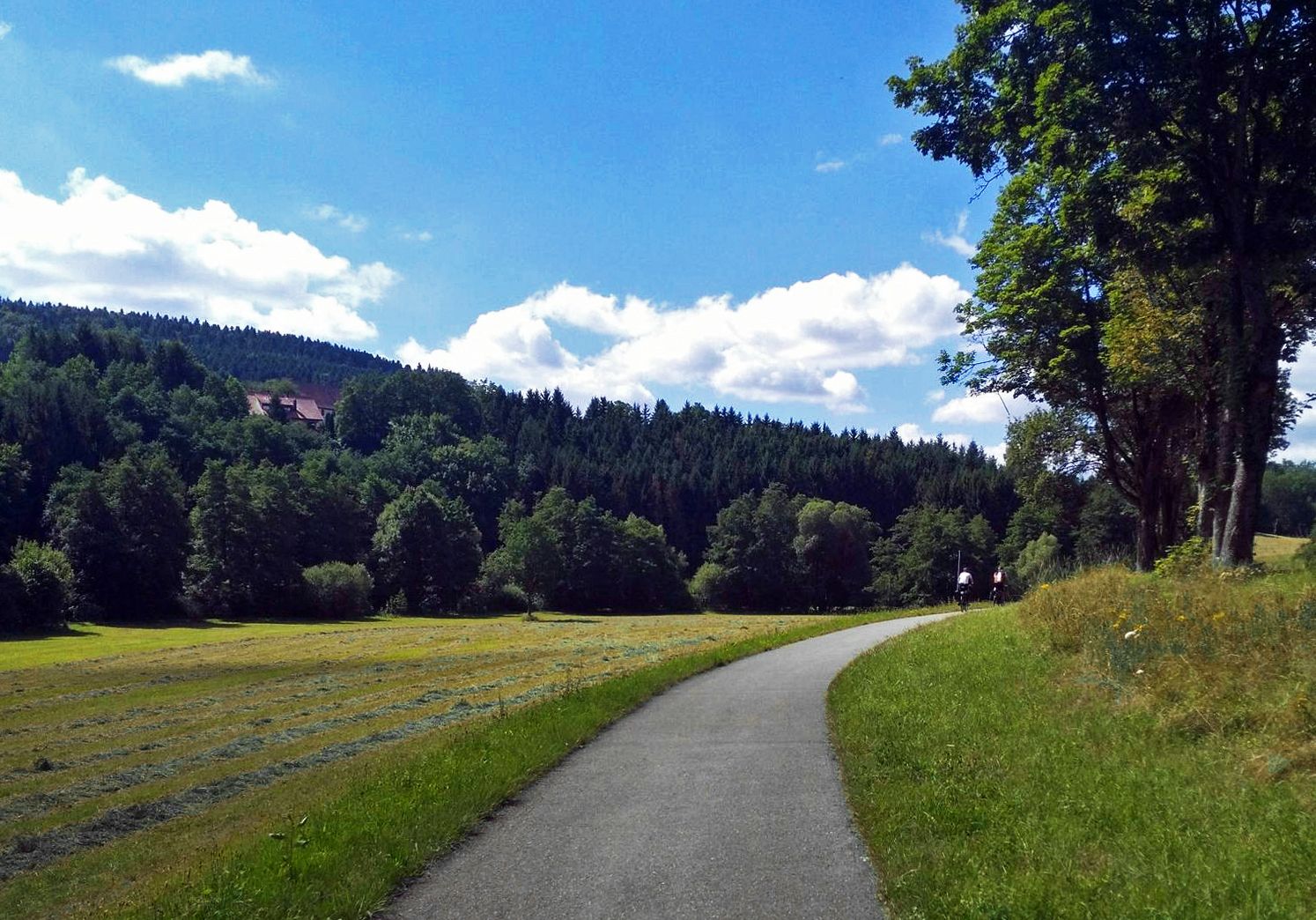
The Heidelberg-Schwarzwald-Bodensee-Radweg
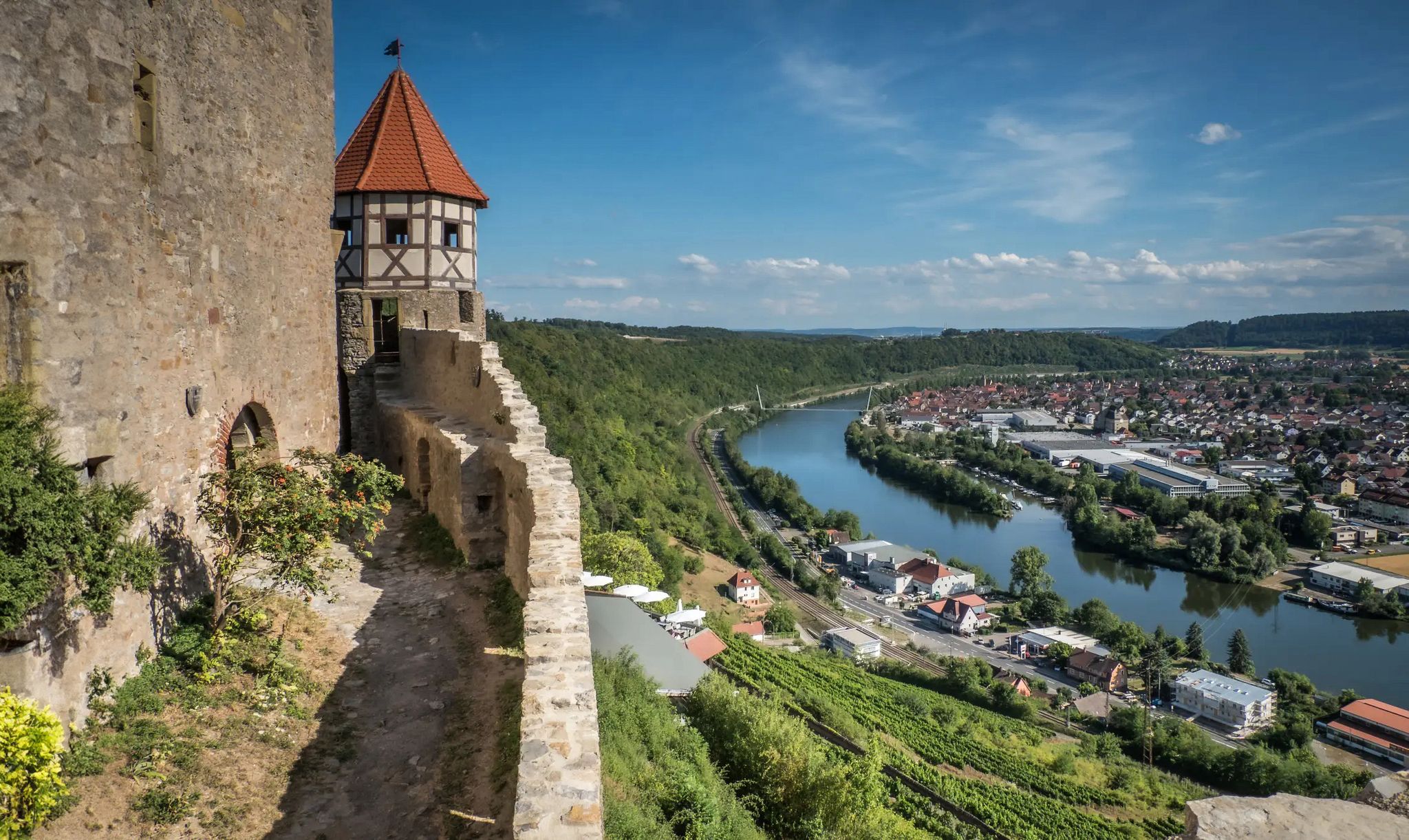
The Neckarsteig trail – 9 stages along the edge of the Odenwald
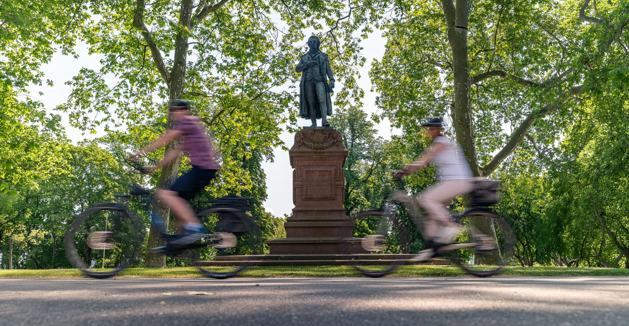
Culture over mileage – cultural Highlights on the Neckar Valley Cycle Path
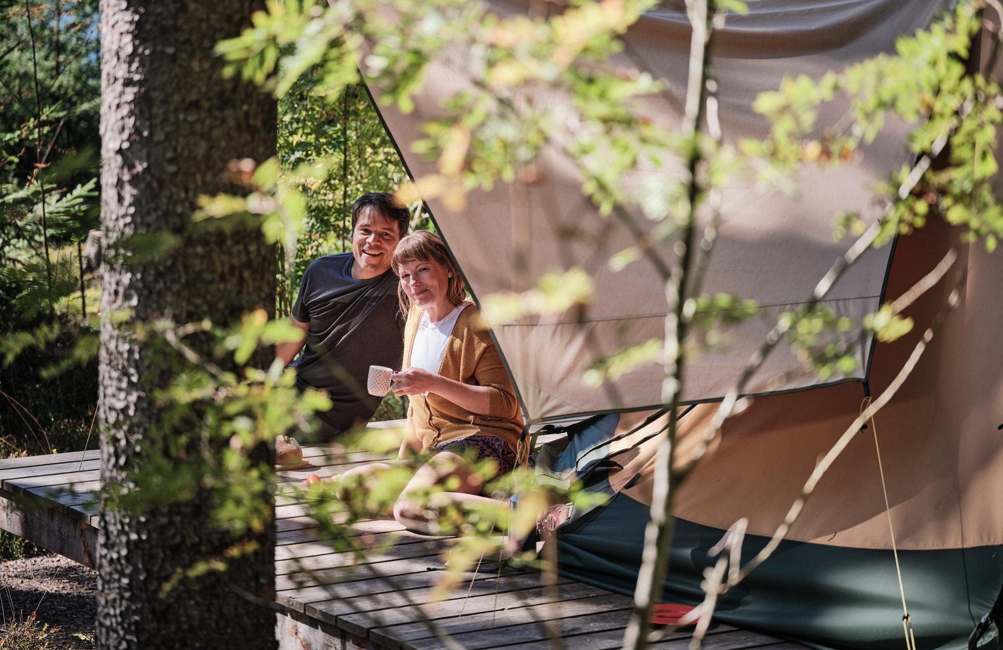
Hiking breaks in the South – two-day routes in Baden-Württemberg
Adventure on two wheels – overnight cycling trips in Baden-Württemberg
Naturparke-Gravel-Crossing: bikepacking in Baden-Württemberg
#GoFurther – discover the views of Germany!
Just get out – long-distance cycle routes in the Black Forest
Discover premium and quality long-distance hiking in southern Germany

Long-distance cycle routes with a view – discover Baden-Württemberg
Other adventures around Heidelberg


Tips from the Community

Great view - beautiful landscape. Lovely to ride here.
1
0

... take a hat with you. When you sweat, the wind blows on the Königstuhl
0
0

Replica of a Celtic wall
0
0

The giant sequoias are truly impressive! 🤩🌳 #GiantSequoias #Nature #Trees #Size #Wonder
0
0

A very beautiful place.
0
0

From here beautiful view of the castle
0
0

This is an excellent photo opportunity with the Karlsplatz fountain and the castle
1
0

A great place to linger. Quieter than the market square and with a direct view of the castle.
1
0
Frequently Asked Questions
How many mountaineering routes can I find around Heidelberg?
There are 13 mountaineering routes available around Heidelberg, offering a variety of experiences. These routes range in difficulty from easy to difficult, ensuring options for different skill levels.
Are there any easy mountaineering routes suitable for beginners in Heidelberg?
Yes, Heidelberg offers several routes suitable for beginners. For instance, the View from Königstuhl – Rest Area at the Himmelsleiter loop from Heidelberg is an easy 1.1-mile trail that can be completed in under an hour, leading through forested slopes.
What kind of views can I expect on the mountaineering routes in Heidelberg?
Many routes offer stunning panoramic views. For example, the Heidelberg Castle – View from Königstuhl loop from Max Planck Institute for Nuclear Physics includes ascents towards the Königstuhl, providing breathtaking vistas of the city, the Neckar valley, and even extending to the Rhine valley and the Palatinate Forest on clear days. The Heiligenberg also offers attractive views of the city.
Are there circular mountaineering routes in the Heidelberg area?
Yes, many of the mountaineering routes around Heidelberg are circular. For example, the Gaisberg Tower – Sprunghöhe Shelter loop from Heidelberg is a moderate 8.7 km loop, and the View from Königstuhl – Rest Area at the Himmelsleiter loop from Station Kornmarkt is a 3.5 km moderate loop that includes sections of the Himmelsleiter.
What do other mountaineers enjoy most about the routes in Heidelberg?
The mountaineering routes in Heidelberg are highly rated by the komoot community, with an average score of 4.5 stars. Reviewers often praise the diverse landscape, the challenging ascents, and the scenic views of the Neckar River valley and the Odenwald Forest.
Are there any family-friendly mountaineering options around Heidelberg?
While specific routes are not designated 'family-friendly' in the mountaineering category, the region offers areas like the Königstuhl with special forest paths such as the Via Naturae and the Forest Adventure Trail (Walderlebnispfad), which are ideal for learning and exploration with children. You might consider shorter, easier routes for families.
Can I bring my dog on the mountaineering trails in Heidelberg?
Many trails in the Heidelberg region, particularly those through forested areas like the Königstuhl and Heiligenberg, are generally dog-friendly. However, it's always advisable to keep dogs on a leash, especially in nature reserves or areas with wildlife, and to check local regulations for specific paths.
What interesting landmarks or attractions can I see near the mountaineering routes?
Along and near the mountaineering routes, you can discover several historical and natural landmarks. These include the Thingstätte Heidelberg (Heiligenberg Amphitheater), the Heiligenberg Tower and St. Stephen's Monastery Ruins, and the famous Schlangenweg (Snake Path) Heidelberg. The View of Heidelberg from Königstuhl is also a must-see.
Is there parking available near the starting points of mountaineering trails?
Yes, parking is generally available near popular starting points for trails leading to areas like the Königstuhl and Heiligenberg. For example, access points to the Philosopher's Walk also have parking options. It's recommended to check specific parking availability for your chosen route beforehand.
How can I reach the mountaineering areas like Königstuhl or Heiligenberg using public transport?
Both the Königstuhl and Heiligenberg are accessible by public transport from Heidelberg city center. The Königstuhl can be reached by the historic funicular railway, while buses serve the Heiligenberg area. The Philosopher's Walk is also well-connected by public transport from the city center.
Are there places to eat or drink after a mountaineering tour in Heidelberg?
Absolutely. Heidelberg's Old Town, easily accessible from many trailheads, offers numerous cafes and pubs. You'll find options for refreshments near the Philosopher's Walk and in the city center after descending from areas like the Königstuhl or Heiligenberg.
What is the longest mountaineering route available in Heidelberg?
The longest mountaineering route listed is the Mausbachbrunnen loop from Heidelberg, which covers a distance of approximately 15 km (9.3 miles) and involves significant elevation gain, making it a more challenging option.
Most popular routes around Heidelberg
Most popular attractions around Heidelberg

Get inspired with the komoot mobile app


Explore more
Browse the best Mountain Hikes & Routes in other regions.
