The best mountain hikes in the Hochschwarzwald
4.9
(36)
199
hikers
33
hikes
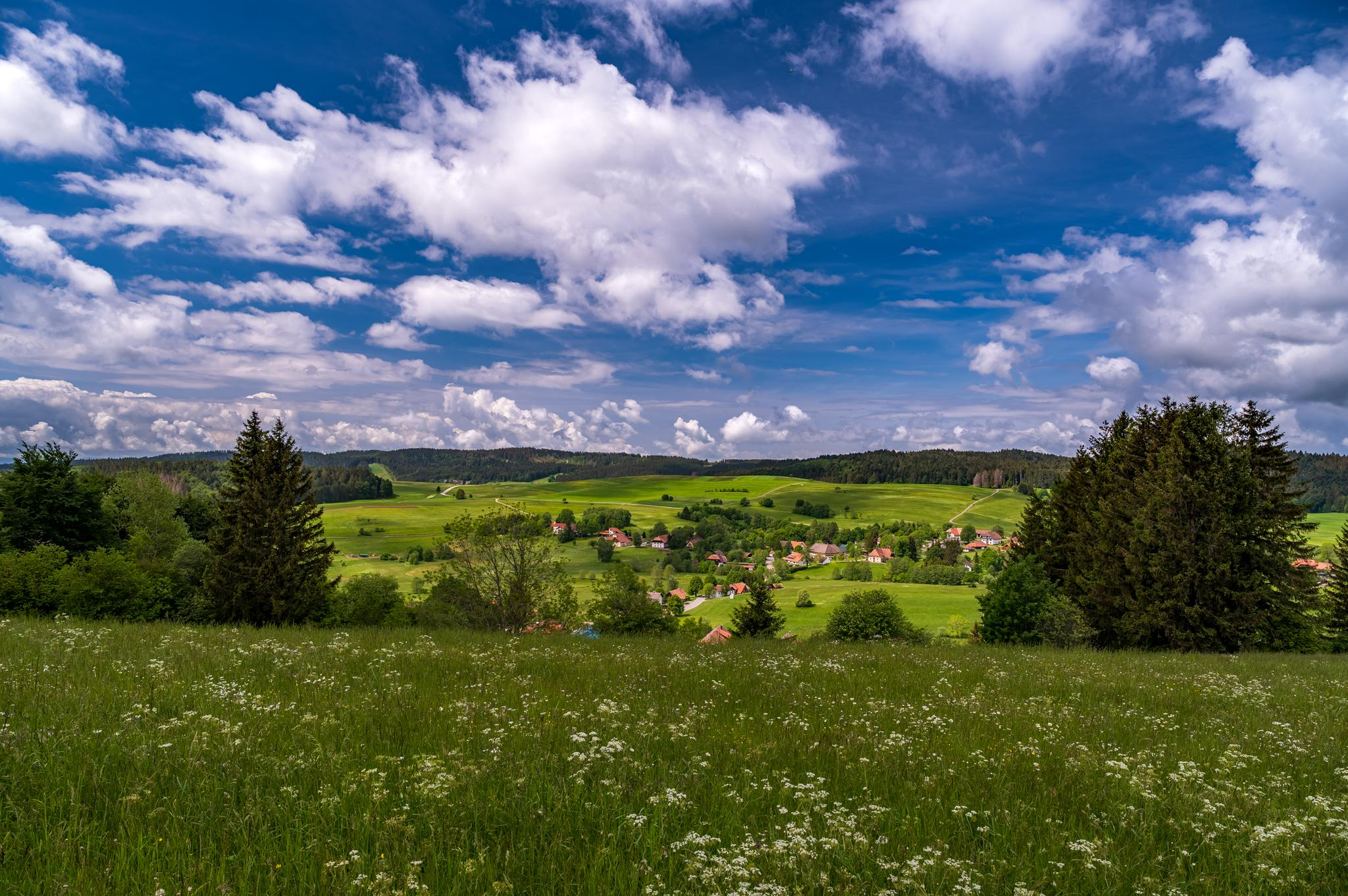
Mountaineering in the Hochschwarzwald is characterized by its diverse and elevated natural landscape in Germany's Black Forest. The region features prominent peaks like Feldberg (1,493 m) and Belchen (1,414 m), offering extensive panoramic views. Dense forests, picturesque lakes such as Titisee and Schluchsee, and dramatic gorges like Wutach and Ravenna define the terrain. This area provides a well-developed network of trails suitable for various mountaineering experiences.
Best mountaineering routes in the Hochschwarzwald
- The most popular mountaineering route is Bismarck Monument…
Last updated: October 18, 2026
5.0
(3)
29
hikers
10.5km
03:05
300m
300m
Moderate mountaineering route. Good fitness required. Easily-accessible paths. Suitable for all skill levels.
4.7
(3)
12
hikers
15.5km
05:54
990m
990m
Hard mountaineering route. Very good fitness required. Mostly accessible paths. Sure-footedness required.

5.0
(2)
11
hikers
8.88km
03:00
340m
340m
Moderate mountaineering route. Good fitness required. Mostly accessible paths. Sure-footedness required.
5.0
(6)
18
hikers
7.88km
02:21
200m
200m
Moderate mountaineering route. Good fitness required. Mostly accessible paths. Sure-footedness required.
8
hikers
11.2km
03:58
590m
590m
Moderate mountaineering route. Good fitness required. Mostly accessible paths. Sure-footedness required.
2
hikers
11.0km
03:34
410m
410m
Moderate mountaineering route. Good fitness required. Mostly accessible paths. Sure-footedness required.
5.0
(2)
9
hikers
Moderate mountaineering route. Good fitness required. Mostly accessible paths. Sure-footedness required.
3.0
(1)
2
hikers
7.19km
02:05
190m
190m
Moderate mountaineering route. Good fitness required. Easily-accessible paths. Suitable for all skill levels.
7
hikers
8.15km
02:58
360m
360m
Moderate mountaineering route. Good fitness required. Mostly accessible paths. Sure-footedness required.
5.0
(1)
5
hikers
16.4km
05:44
790m
790m
Hard mountaineering route. Very good fitness required. Mostly accessible paths. Sure-footedness required.
Get access to more routes and recommendations from other explorers.
Already have an account?
Our route recommendations are based on thousands of hikes, rides, and runs completed by other people on komoot.
Start today with a free account
Your next adventure awaits.
Popular around Hochschwarzwald

Mountain Hikes in Breisgau-Hochschwarzwald
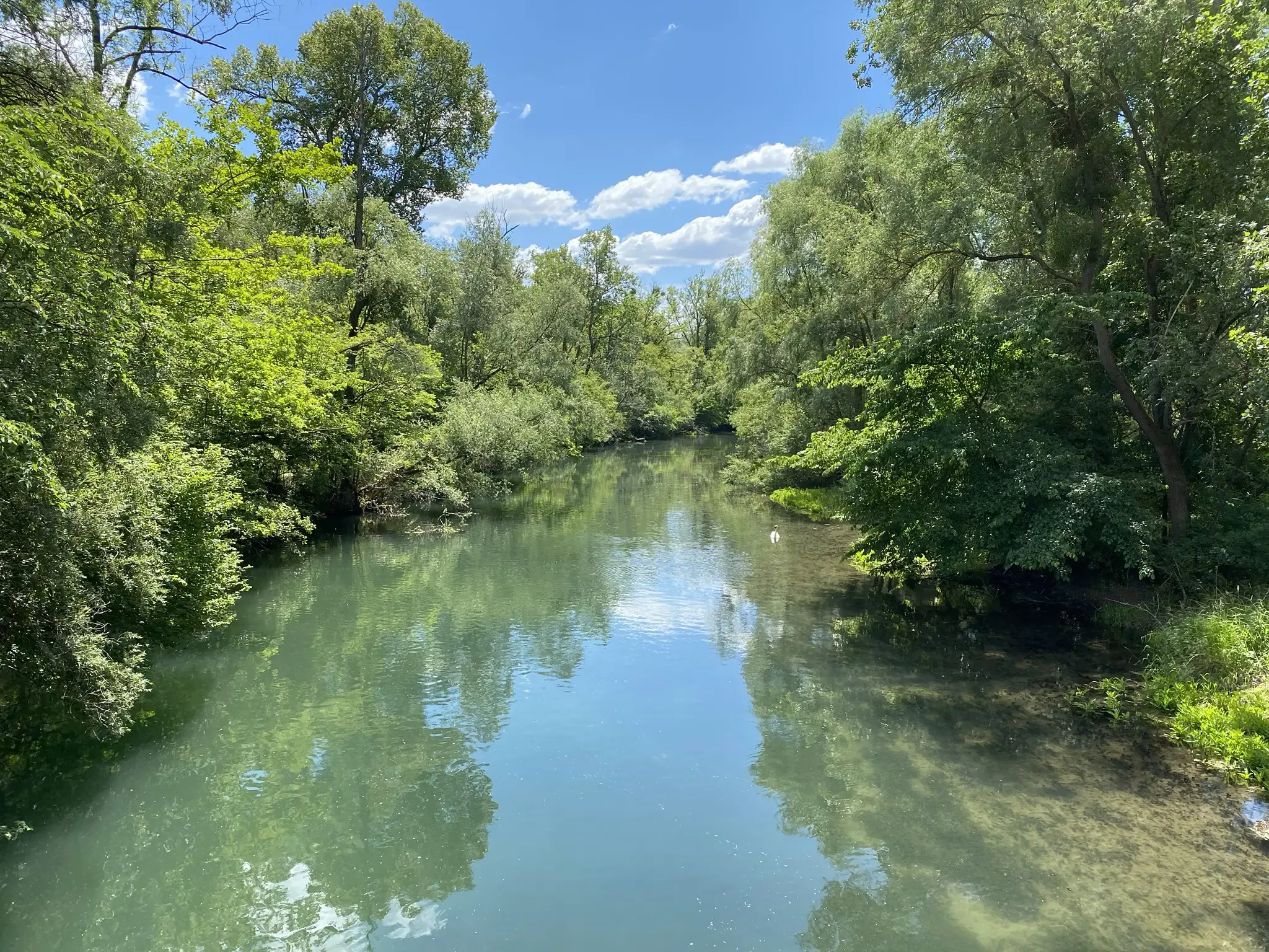
Rheinauenweg hiking path – Jungle tour for water rats
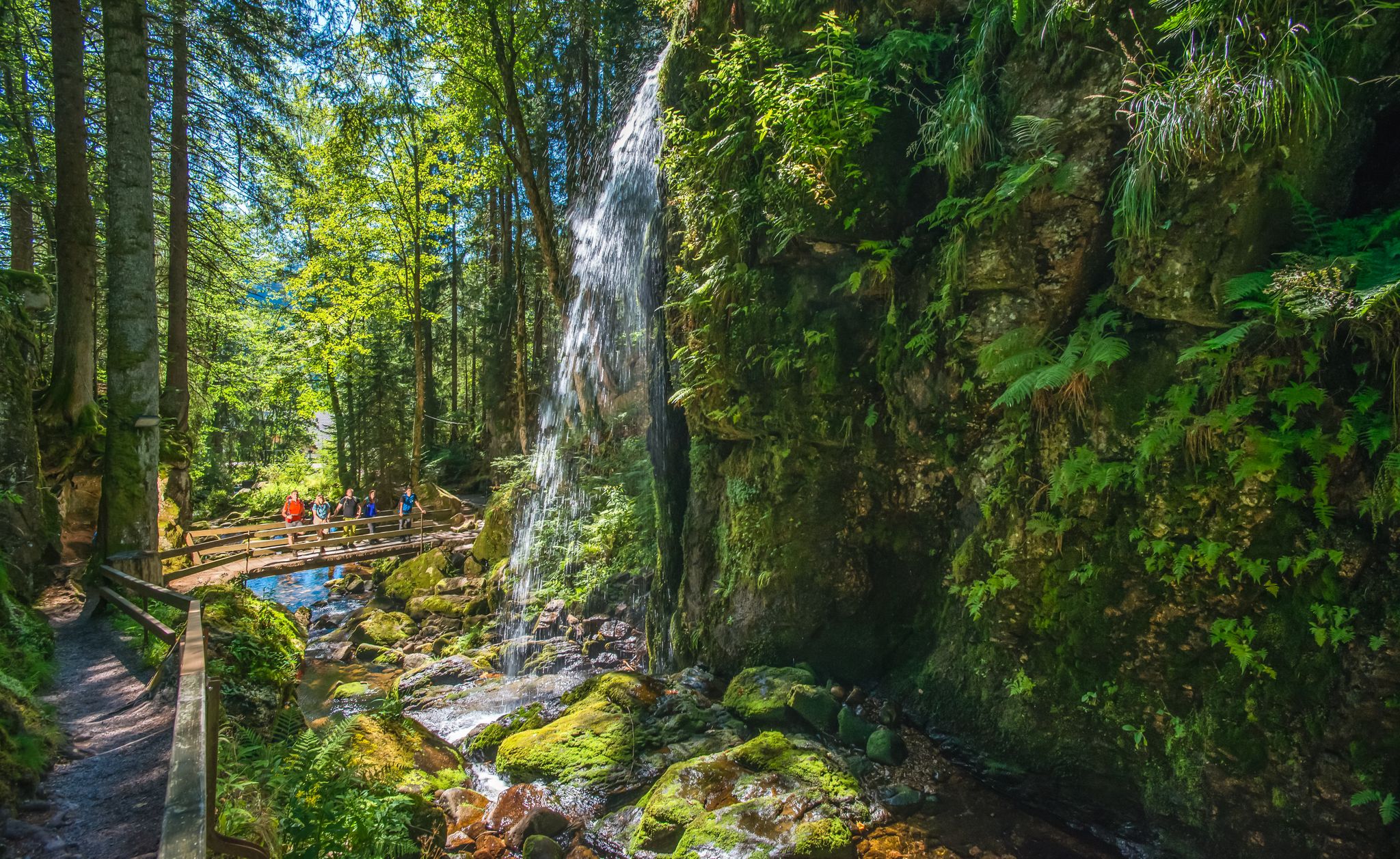
Albsteig Schwarzwald – Hike along the River Alb through the Black Forest in Germany
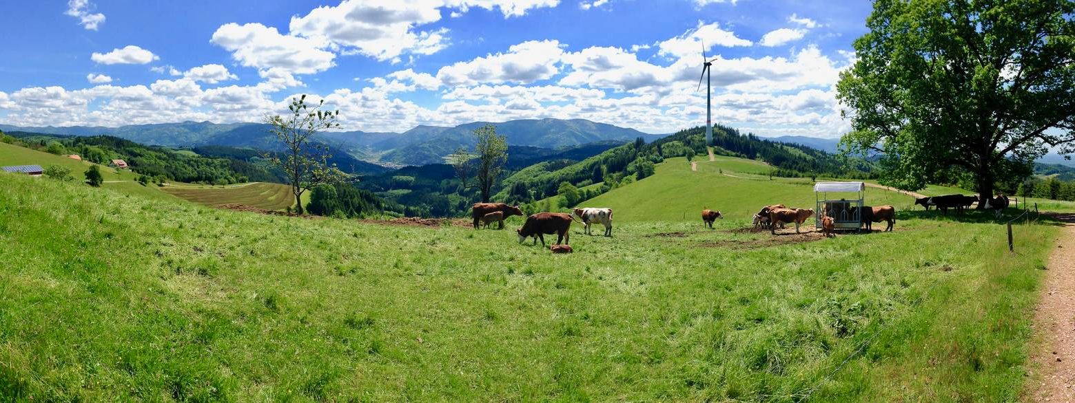
Germany's Kandelhöhenweg — More westerly than the Westweg
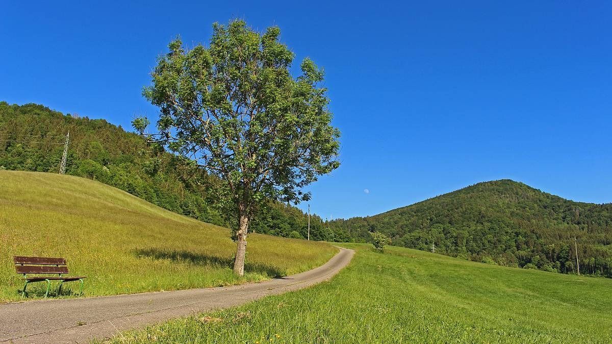
The Freiburg–Lake Constance Black Forest Trail — To the Swabian Sea
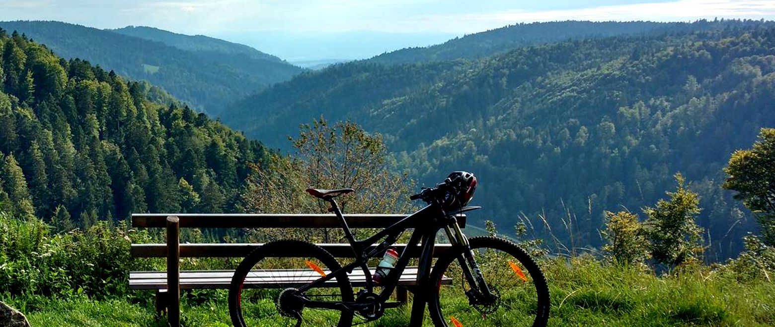
The Black Forest Crossing – From north to south in eight days
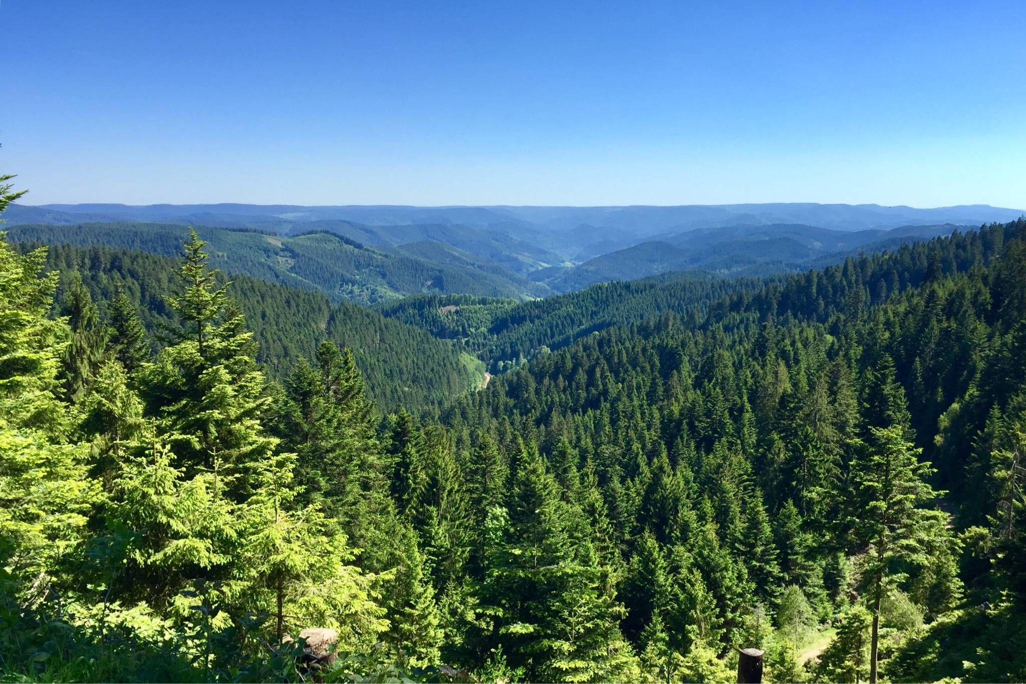
Westweg – Deep forests and bright heights through the Black Forest
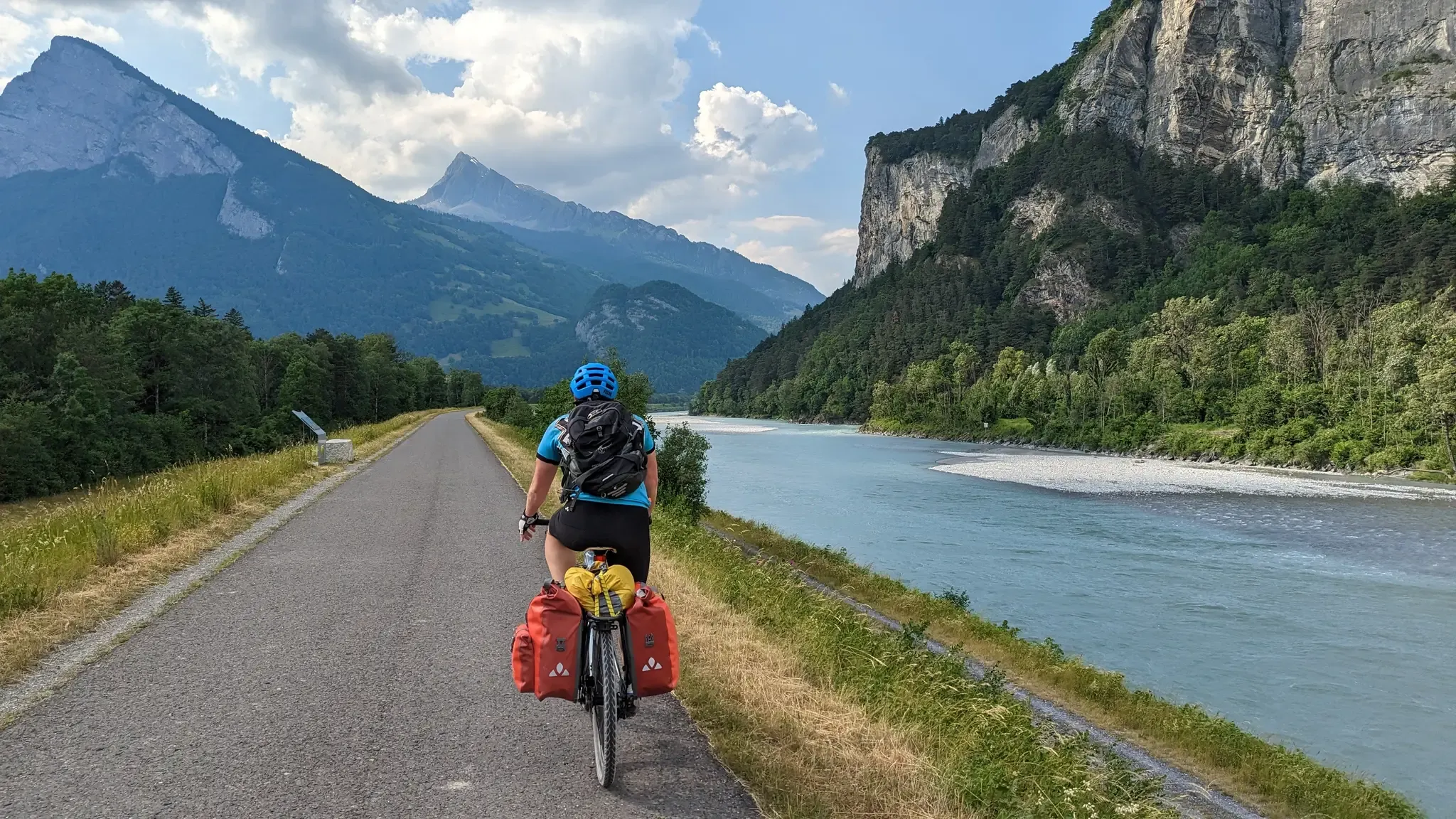
The Rhine Cycle Path — From the source to the North Sea
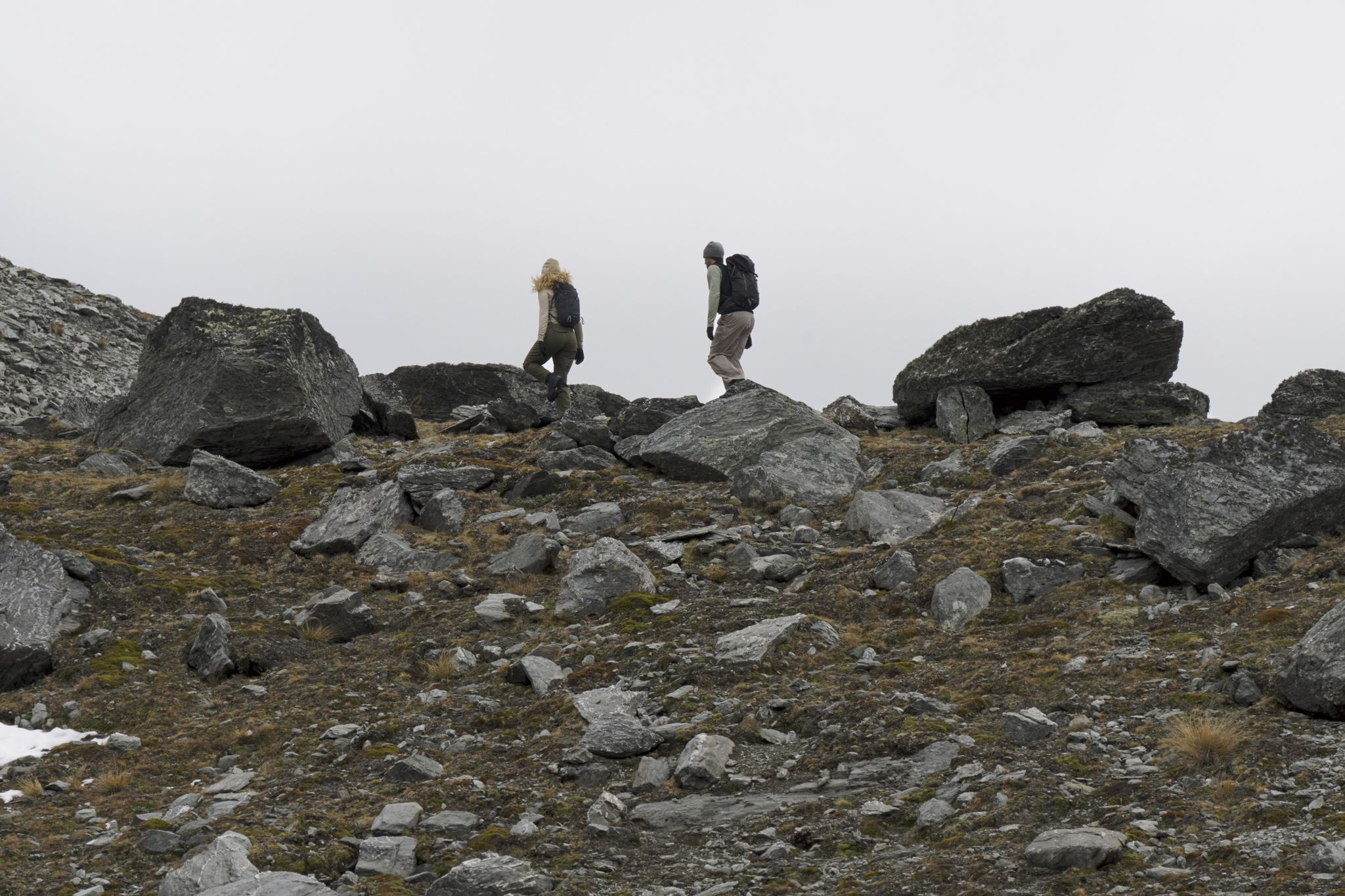
Trails Where The Right Warmth Matters – Alpine Adventures with icebreaker
Village getaways in the Black Forest – small towns, great hiking
Other adventures in the Hochschwarzwald


Tips from the Community

In the magical region of the Teinachtal around Zavelstein, nestled in the gentle hills of the Black Forest,
3
0
Nature park moments mark a viewpoint with a beautiful panorama
3
0
Directly on the summit of Feldberg in the Black Forest, not far from the older transmission tower on the Seebuck.
3
0
Commissioned in the summer of 2003 by the SWR.
3
1
The unique museum in the Feldbergturm interactively and engagingly conveys the traditional production of Black Forest ham
3
0
The 21-meter-high Friedrich-Luise Tower on the 1493-meter-high Feldberg summit houses an important weather radar facility of the German Weather Service.
3
0
Frequently Asked Questions
How many mountaineering routes are available in the Hochschwarzwald?
There are over 35 mountaineering routes in the Hochschwarzwald, catering to various skill levels. You'll find 2 easy routes, 27 moderate routes, and 8 difficult routes to explore.
Are there any easy mountaineering routes suitable for beginners in the Hochschwarzwald?
Yes, the Hochschwarzwald offers a few easier mountaineering options. For a moderate route that's accessible, consider the Kaiser Bay on Lake Schluchsee – Schluchsee Dam loop from Blasiwald. This 7.1 km route takes about 2 hours 5 minutes and features gentle ascents around the picturesque Schluchsee.
What are some challenging mountaineering routes in the Hochschwarzwald?
For experienced mountaineers seeking a challenge, the Hochschwarzwald has several difficult routes. One notable option is the Belchen Summit – Belchenhaus loop from Münstertal. This 15.1 km trail involves significant elevation gain and typically takes nearly 6 hours to complete, leading you to the summit of Belchen.
Can I find circular mountaineering routes in the Hochschwarzwald?
Yes, many mountaineering routes in the Hochschwarzwald are designed as loops, allowing you to start and end at the same point. An example is the Bismarck Monument on the Seebuck – Feldberg Summit loop from Feldbergturm, a 10.5 km moderate route offering views around the Feldberg summit.
What kind of natural landmarks or viewpoints can I expect along the mountaineering routes?
The Hochschwarzwald is rich in natural landmarks and offers stunning viewpoints. You can experience panoramic views from peaks like Feldberg and Belchen. Routes often pass by picturesque lakes such as Titisee and Schluchsee, and dramatic gorges like the Wutach Gorge and Ravenna Gorge. For instance, the Belchen Summit – View of the Alps from Belchen loop from Wieden provides exceptional views of the Rhine Valley, Vosges, and even the Alps on clear days.
Are there any routes that feature waterfalls?
Yes, the Hochschwarzwald is home to impressive waterfalls. You can explore routes that lead to or pass by them, such as the Ravenna Viaduct – Great Ravenna Waterfall loop from Hinterzarten. This moderate 7.8 km route takes you through the dramatic Ravenna Gorge, where you can see the Great Ravenna Waterfall.
What do other mountaineers say about the routes in the Hochschwarzwald?
The mountaineering routes in the Hochschwarzwald are highly rated by the komoot community, with an average score of 4.8 stars from over 30 reviews. Mountaineers often praise the diverse terrain, the stunning panoramic views from peaks like Feldberg and Belchen, and the well-maintained trail network that caters to various fitness levels.
Are there any mountaineering routes that offer views of lakes?
Absolutely. The Hochschwarzwald features beautiful lakes that are often part of mountaineering routes. The View of the Black Forest Hills – Feldsee loop from Feldbergturm is a moderate 9 km route that takes you past the tranquil Feldsee, nestled below the Feldberg.
What is the best season for mountaineering in the Hochschwarzwald?
The Hochschwarzwald offers diverse experiences throughout the year. While spring brings blooming nature and summer provides pleasant conditions for hiking through forests and across meadows, autumn is particularly beautiful with its vibrant foliage. Winter mountaineering is also possible, with snow-covered landscapes, though some routes may require specific gear or be inaccessible. Always check local conditions before heading out.
Are there any routes that pass by historical sites or interesting structures?
Yes, some routes offer glimpses of historical or architectural interest. For example, the Bismarck Monument on the Seebuck – Feldberg Summit loop from Feldbergturm includes the Bismarck Monument on Seebuck, a secondary summit of Feldberg. Additionally, the Ravenna Viaduct – Great Ravenna Waterfall loop from Hinterzarten passes under the impressive Ravenna Viaduct.
Can I access mountaineering trails in the Hochschwarzwald using public transport?
The Hochschwarzwald region is generally well-connected, and many trailheads are accessible via public transport. For specific routes, it's advisable to check the starting point and plan your journey using local bus or train services. The region's extensive network aims to make outdoor activities accessible.
Are there mountaineering routes suitable for families with children?
While many routes are moderate, some might be suitable for families depending on the children's age and experience. Look for shorter, less strenuous routes with interesting features like viewpoints or lakes. The Kaiser Bay on Lake Schluchsee – Schluchsee Dam loop from Blasiwald, for example, is a moderate route around Schluchsee that could be enjoyable for active families.
Most popular routes in the Hochschwarzwald
Most popular attractions in the Hochschwarzwald

Get inspired with the komoot mobile app


Didn’t find what you were looking for?
Check out more Mountain Hikes & Routes throughout Hochschwarzwald below and find the perfect route in your destination.
Explore more
Browse the best Mountain Hikes & Routes in other regions.
