The best running trails around Unterweißenbach
4.5
(23)
456
runners
62
runs
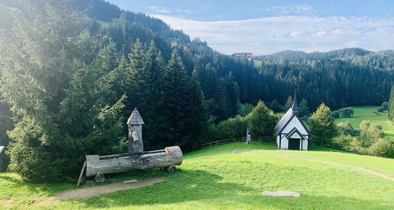
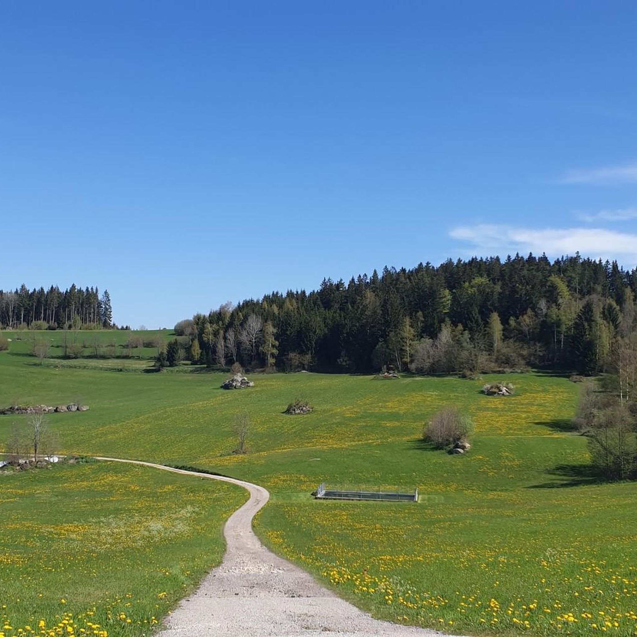
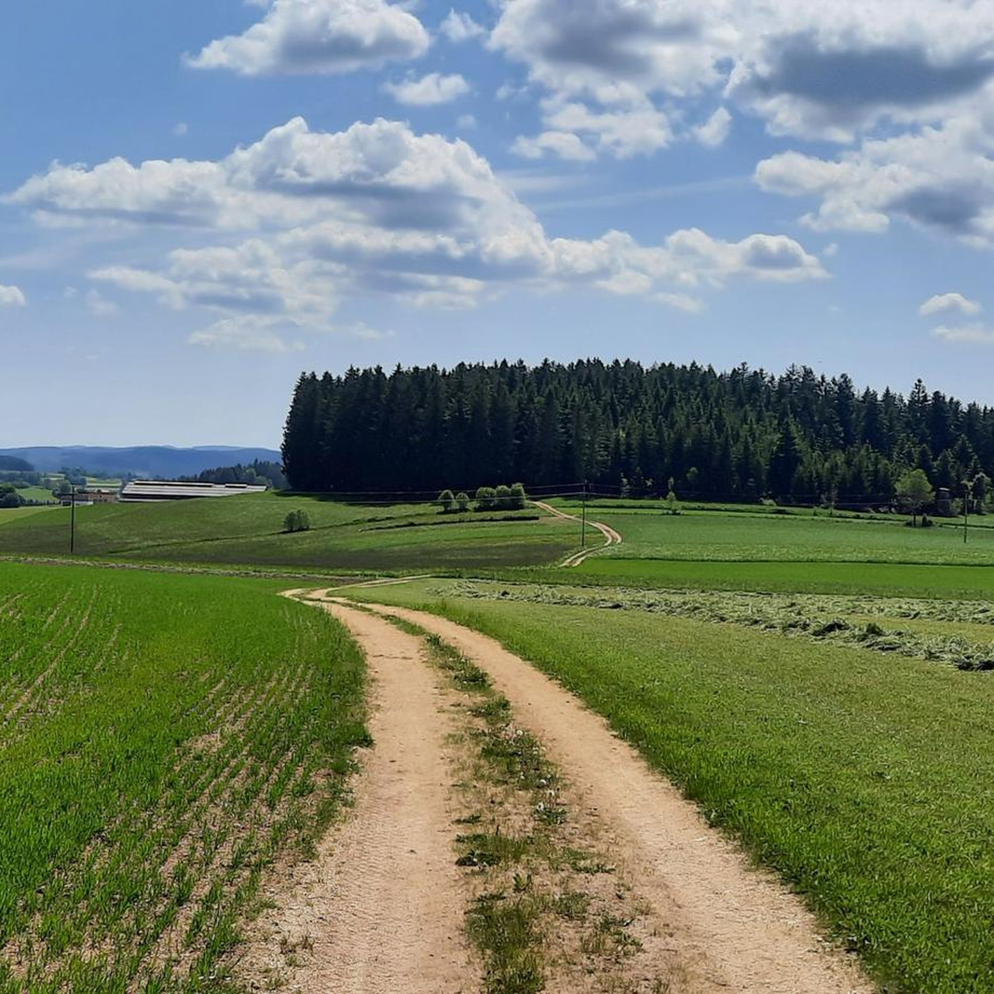
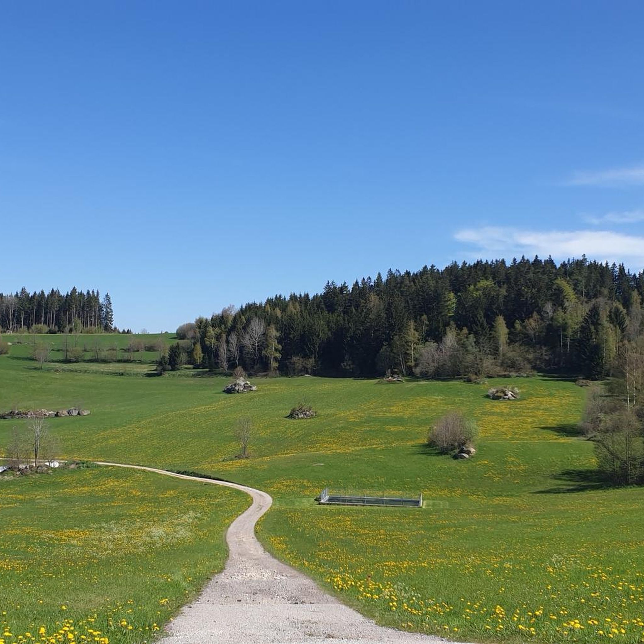
Jogging routes around Unterweißenbach offer a varied landscape for runners, featuring green meadows, extensive forests, and the characteristic hilly terrain of the Mühlviertel region. The area includes unique natural features such as granite rock formations and scenic ponds. These running trails provide options for different fitness levels, from gentle paths to more challenging routes with elevation gains.
Best jogging routes around Unterweißenbach
- The most popular jogging route is Rubner Pond in the Tannermoor – Rubenerteich loop from Tanner Moor, an easy 2.9 miles (4.6 km) trail that takes 33 minutes to complete. This route offers a scenic environment around the Rubner Pond.
- Another top favourite among local runners is Reindlmühle Watermill – Summit Cross at Königswiesen loop from Königswiesen, a difficult 6.7 miles (10.8 km) path. This route features significant elevation gain and leads towards the summit cross of Wolfsberg, offering panoramic views.
- Local runners also love the Königswiesen – Königswieser Hof loop from Königswiesen, a 4.9 miles (7.8 km) trail leading through the hilly Mühlviertel landscape, often completed in about 55 minutes.
- Jogging around Unterweißenbach is defined by green meadows, extensive forests, and unique granite rock formations. The network of running routes offers options for different ability levels, from easy paths to more challenging runs.
- The routes in Unterweißenbach are highly rated by the komoot community with an average score of 4.5 stars from over 20 reviews. More than 400 runners have used komoot to explore Unterweißenbach's varied terrain.
Last updated: October 18, 2026
19
runners
Easy run. Great for any fitness level. Mostly paved surfaces. Suitable for all skill levels.
5.0
(1)
11
runners
Hard run. Very good fitness required. Mostly paved surfaces. Suitable for all skill levels.

10
runners
7.84km
00:55
210m
210m
Moderate run. Good fitness required. Mostly paved surfaces. Suitable for all skill levels.
10
runners
11.0km
01:15
250m
250m
Moderate run. Good fitness required. Mostly paved surfaces. Suitable for all skill levels.
8
runners
Hard run. Very good fitness required. Mostly paved surfaces. Suitable for all skill levels.
Get access to more routes and recommendations from other explorers.
Already have an account?
Our route recommendations are based on thousands of hikes, rides, and runs completed by other people on komoot.
Start today with a free account
Your next adventure awaits.
Other adventures around Unterweißenbach

Tips from the Community

The Rubener Teich is a romantic, hidden natural moor bathing lake next to the Tanner Moor, with tiny bays and cozy spots. Right next to the Rubener Teich is the Moortreff. The natural beer garden offers a good opportunity to stop for refreshments.
0
0

A beer after the tour on the terrace at Franz & Tobias - Gasthof Karlinger - directly on the market square of Königswiesen
0
0

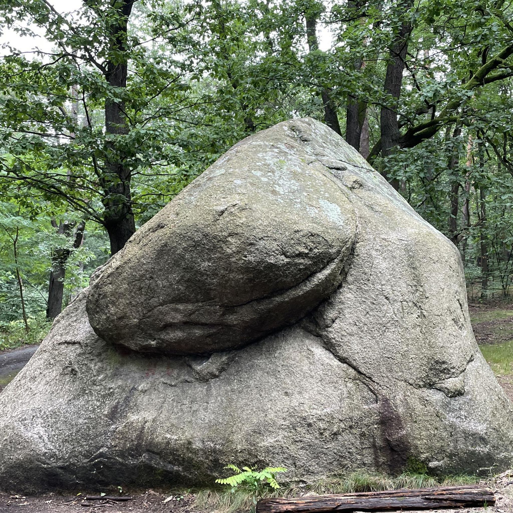
Beautiful rock formation, short climbing section possible.
0
0

The Prandegg castle ruins are around 140 metres long and are one of the largest castles in the country. They began to decay around 1750 and have been owned by the Dukes of Saxe-Coburg and Gotha since 1823. You can visit them and walk around the castle on the castle trail.
2
0

Beautiful hike along the Johannesweg
0
0

It's worth going up here😉⚜️
1
1
A great granite stone with a summit cross. This place of power offers the opportunity to rest and pause. If you want to go up to the summit cross, a good hiking shoe with a firm grip is highly recommended.
1
0

At the beautiful market square there are still cozy inns open for a lunch break.
0
0
Frequently Asked Questions
How many running routes are available in Unterweißenbach?
Unterweißenbach offers a wide selection of over 60 running routes, catering to various fitness levels and preferences. You'll find everything from easy, scenic paths to more challenging trails with significant elevation gains.
What kind of terrain can I expect on the jogging trails in Unterweißenbach?
The jogging trails in Unterweißenbach feature a diverse landscape, including green meadows, extensive forests, and the characteristic hilly terrain of the Mühlviertel region. You'll also encounter unique natural features like granite rock formations and scenic ponds, providing picturesque backdrops for your runs.
Are there running routes suitable for beginners in Unterweißenbach?
Yes, there are several easy running routes perfect for beginners or those looking for a relaxed jog. For example, the Rubner Pond in the Tannermoor – Rubenerteich loop from Tanner Moor is an easy 2.9-mile (4.6 km) trail that offers a scenic environment around the pond.
What are the more challenging running options in the region?
For experienced runners seeking a challenge, Unterweißenbach offers several difficult routes. The Reindlmühle Watermill – Summit Cross at Königswiesen loop from Königswiesen is a demanding 6.7-mile (10.8 km) path with significant elevation gain, leading towards the summit cross of Wolfsberg and offering panoramic views.
What natural landmarks or points of interest can I see while jogging in Unterweißenbach?
While jogging in Unterweißenbach, you can discover fascinating natural landmarks. Keep an eye out for unique granite rock formations like the Herrgottssitz Rock Formation and the Wegererstein. The scenic Rubner Pond in the Tannermoor is also a notable natural feature.
Are there any scenic viewpoints along the running trails?
Absolutely! Many trails in the region, such as sections of the Fernblickweg, are known for offering numerous beautiful viewpoints across the hilly Mühlviertel. The Summit Cross at Königswiesen, accessible via more challenging routes, also provides a stunning view of Unterweißenbach and the surrounding landscape.
What do other runners appreciate most about the trails in Unterweißenbach?
The running routes in Unterweißenbach are highly rated by the komoot community, with an average score of 4.5 stars from over 20 reviews. Runners often praise the varied terrain, the beautiful natural scenery, and the options available for different fitness levels, from gentle paths to more challenging runs.
Are there any circular running routes in Unterweißenbach?
Yes, many of the running routes in Unterweißenbach are designed as loops, allowing you to start and finish at the same point. An example is the Königswiesen – Königswieser Hof loop from Königswiesen, a 4.9-mile (7.8 km) trail through the hilly Mühlviertel landscape.
Can I find family-friendly jogging routes in Unterweißenbach?
Unterweißenbach offers several accessible paths that are suitable for families. These routes often feature mostly paved surfaces and gentler inclines, making them enjoyable for a wider range of ages and fitness levels. Look for the 'easy' graded routes for the most family-friendly options.
Are the running trails in Unterweißenbach dog-friendly?
Generally, the natural trails and paths in Unterweißenbach are dog-friendly, making it a great region to jog with your canine companion. However, it's always recommended to keep your dog on a leash, especially in forested areas or near wildlife, and to be mindful of local regulations and other trail users.
Are there parking facilities available near the running routes?
Yes, many of the popular running routes and trailheads in and around Unterweißenbach offer designated parking facilities. For specific routes, you can often find information about nearby parking on the individual route pages on komoot.
What is the best season for jogging in Unterweißenbach?
Unterweißenbach is beautiful for jogging throughout the year, with each season offering a unique experience. Spring and autumn provide pleasant temperatures and vibrant scenery, while summer is ideal for early morning or late evening runs. Even in winter, many trails are accessible, offering a serene, snow-covered landscape.
Most popular routes around Unterweißenbach
Most popular attractions around Unterweißenbach

Get inspired with the komoot mobile app


Explore more
Browse the best Running Trails & Routes in other regions.
